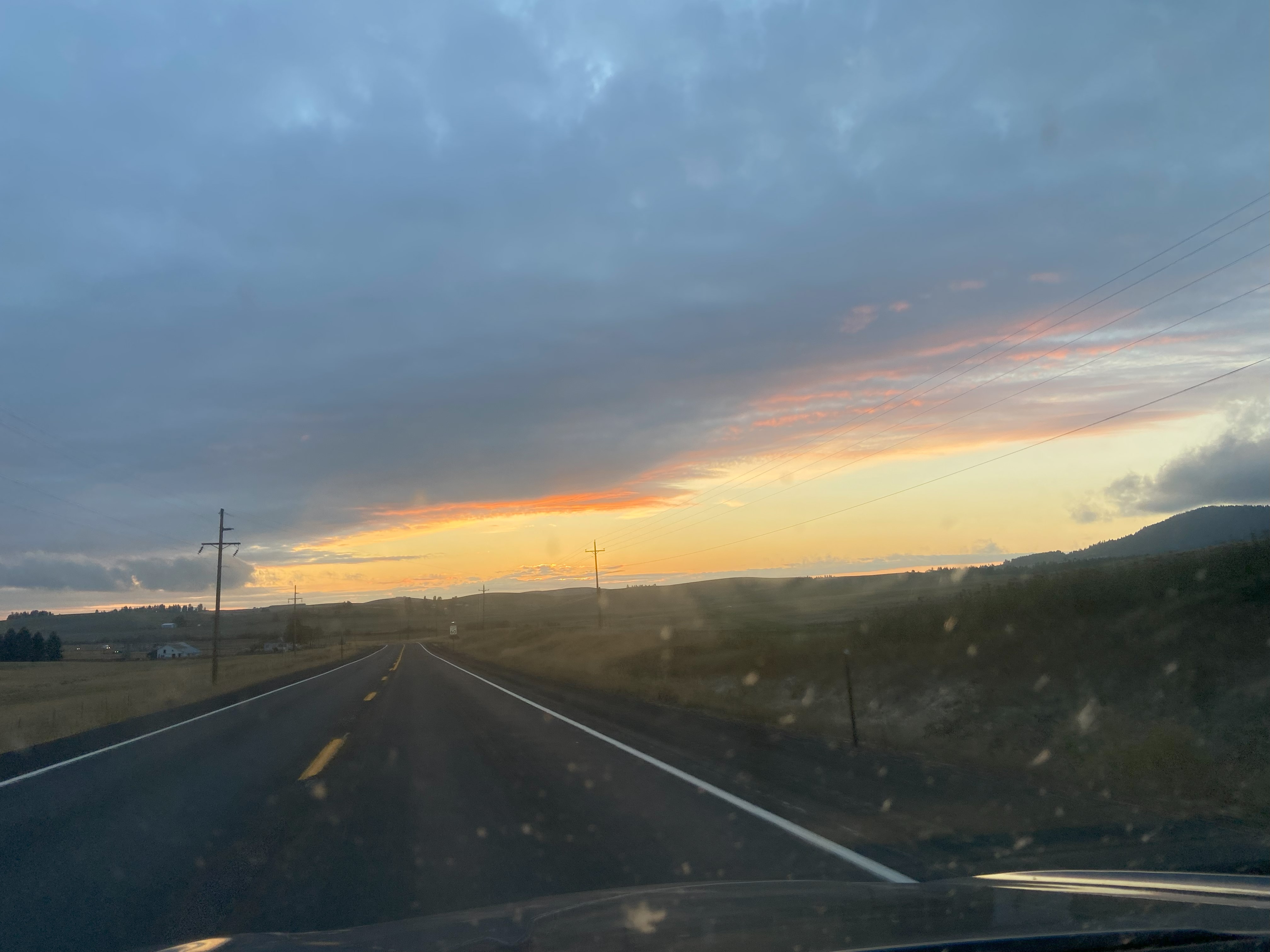
Outer Areas: October 1st-October 23rd, 2024
After climbing all of the immediately-accessible P2ks around Moscow, I started up with the P1ks in the immediate vicinity, with the hopes that I could bridge the gap between the most prominent peaks I did on my roadtrip out west and the least prominent P2ks I did after getting there. The Long Covid List sure is something, but I do what I can when I can. Anyhow, I got to borrow my partner's car to go and knock out two P2ks north of Spokane so that was nice, but shortly afterward, my health took a turn for the worse, and it was only after a question from my partner that I finally figured out what was going on: asthma. It turns out the back-to-back covid infections I had had caused my body to develop a post-viral asthma that as far as I can tell is now a permanent part of my life. Nevertheless, having an inhaler changed my world, and after a few weeks of recovery, I was finally able to cap off my Idaho and Washington mountains for the year with Blacktail, in what would be one of the finest hikes I would have that year!
Kamiak Butte, October 1st
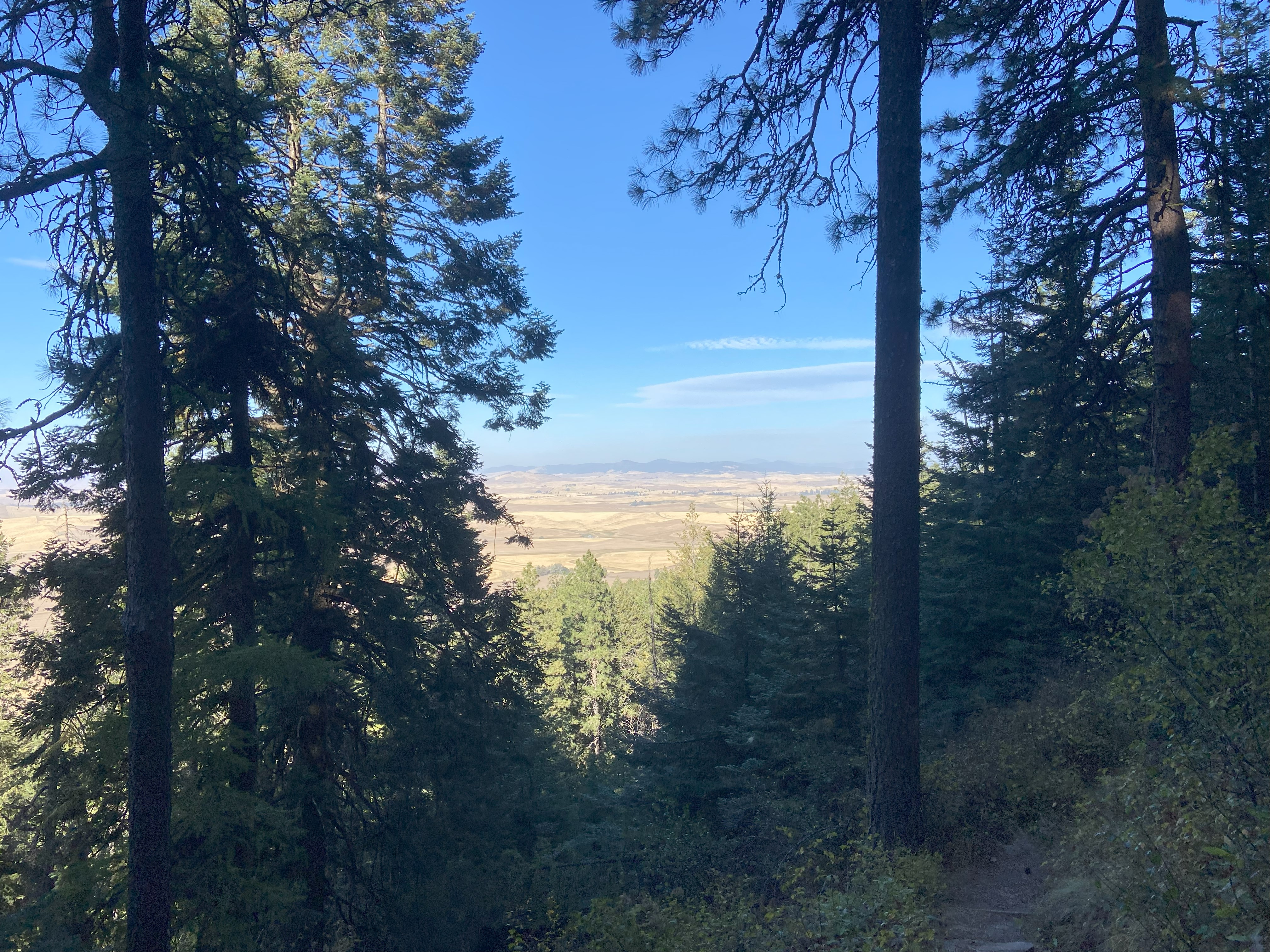
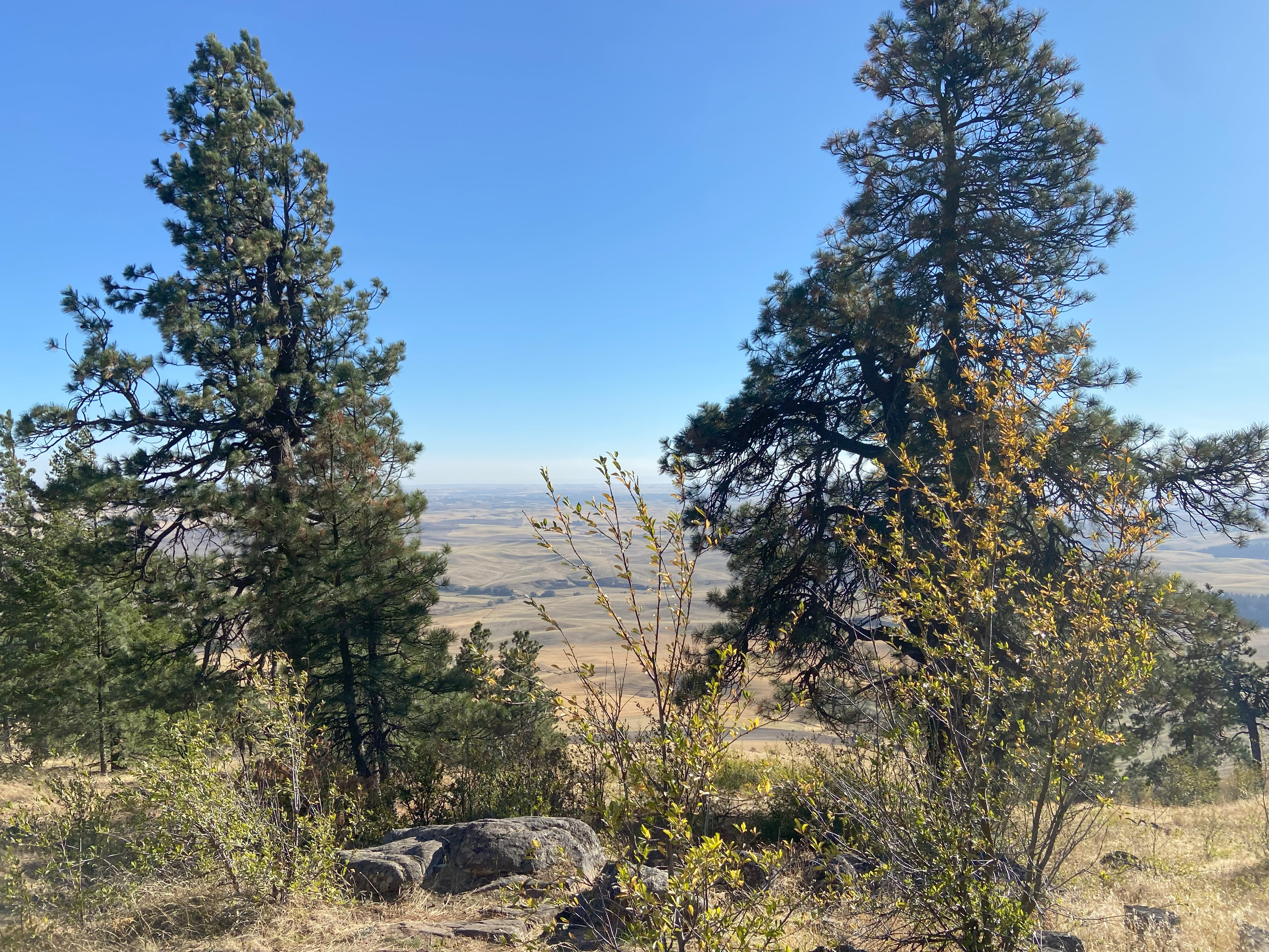
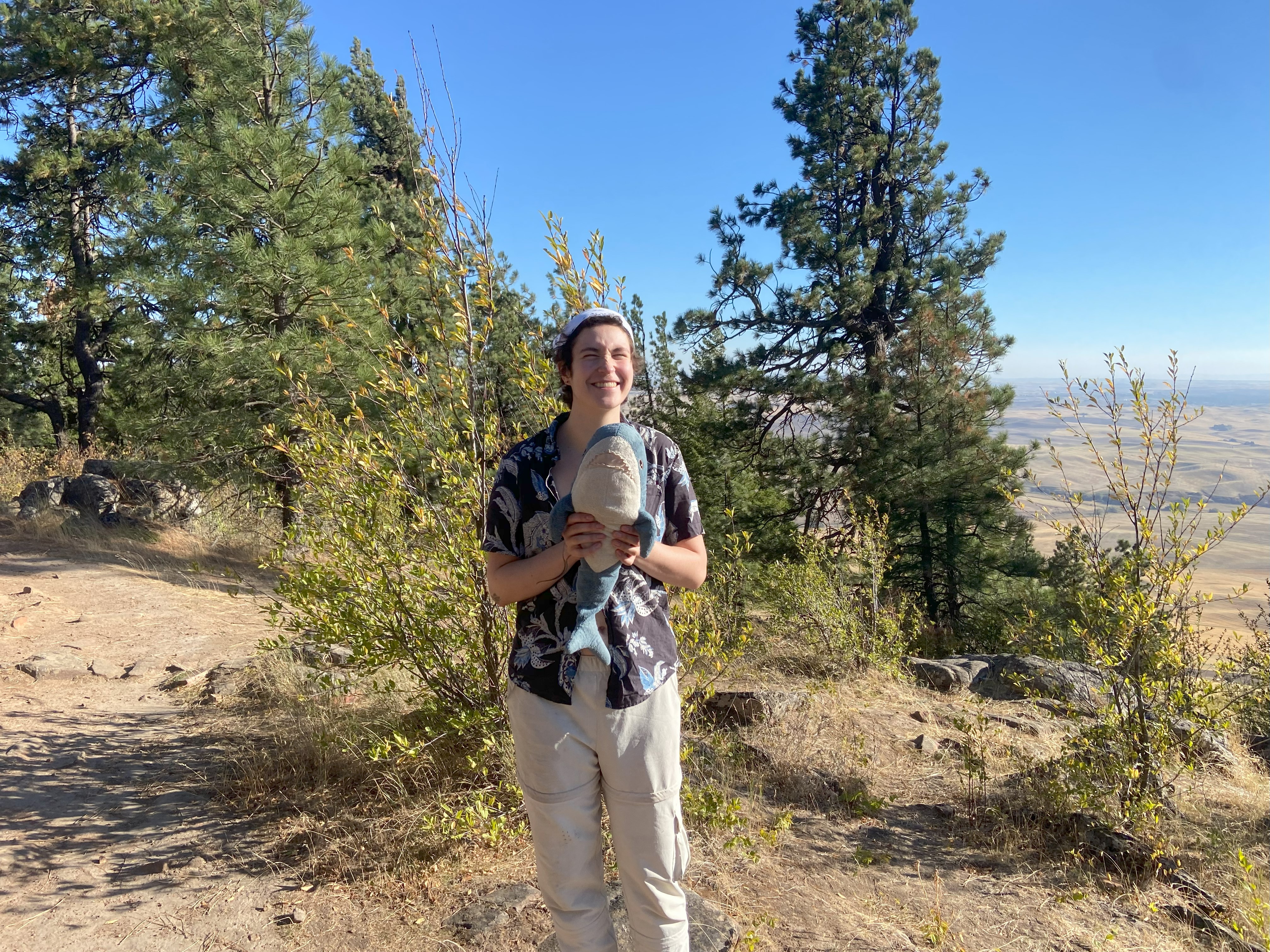
Starting from the county campground, we took the most direct route up to the summit, which was a gradual and beautiful wooded trail. The summit area was very beautiful and I'm happy to have gotten out there :)

Hoodoo Mountain, October 2nd
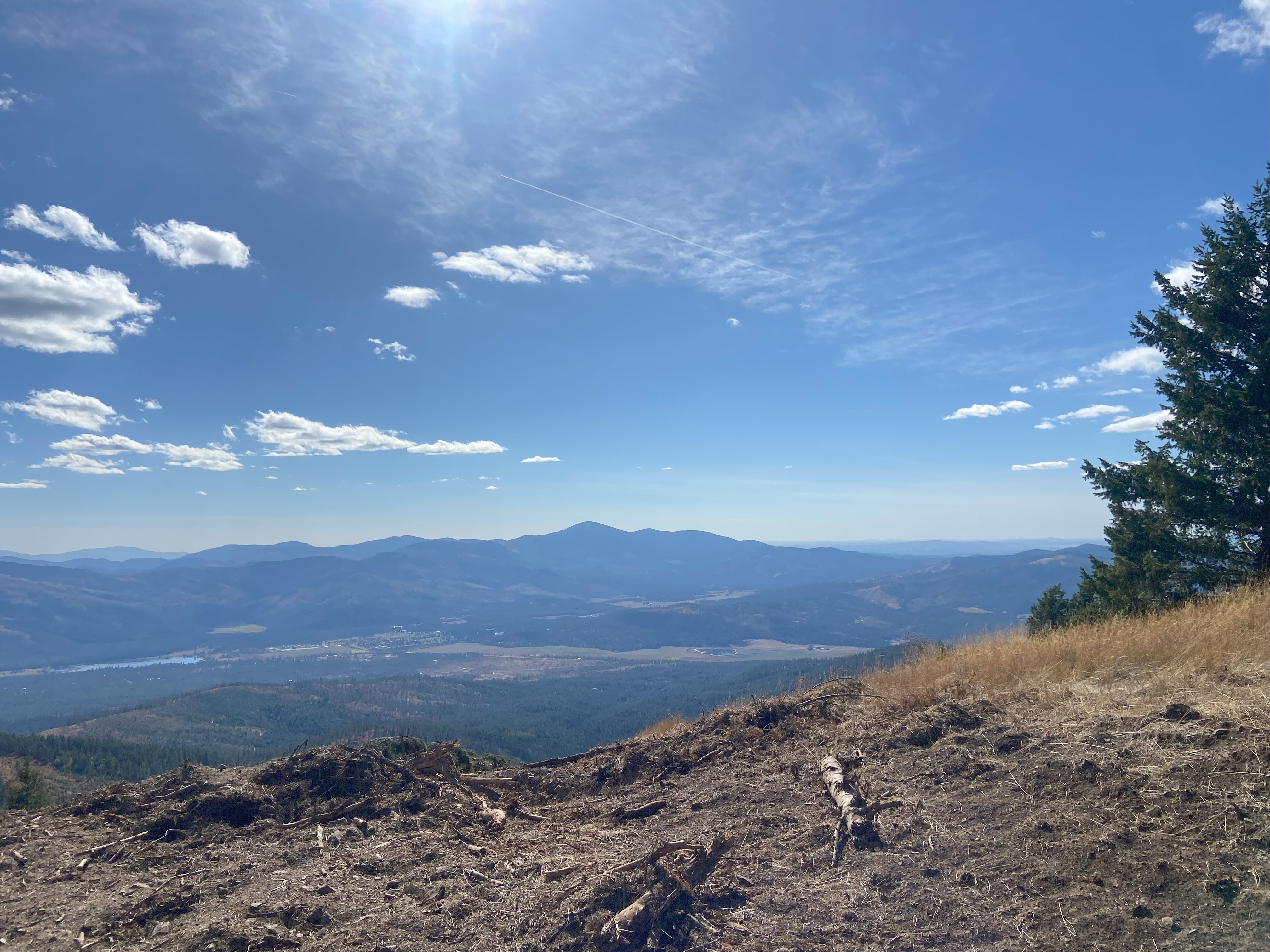
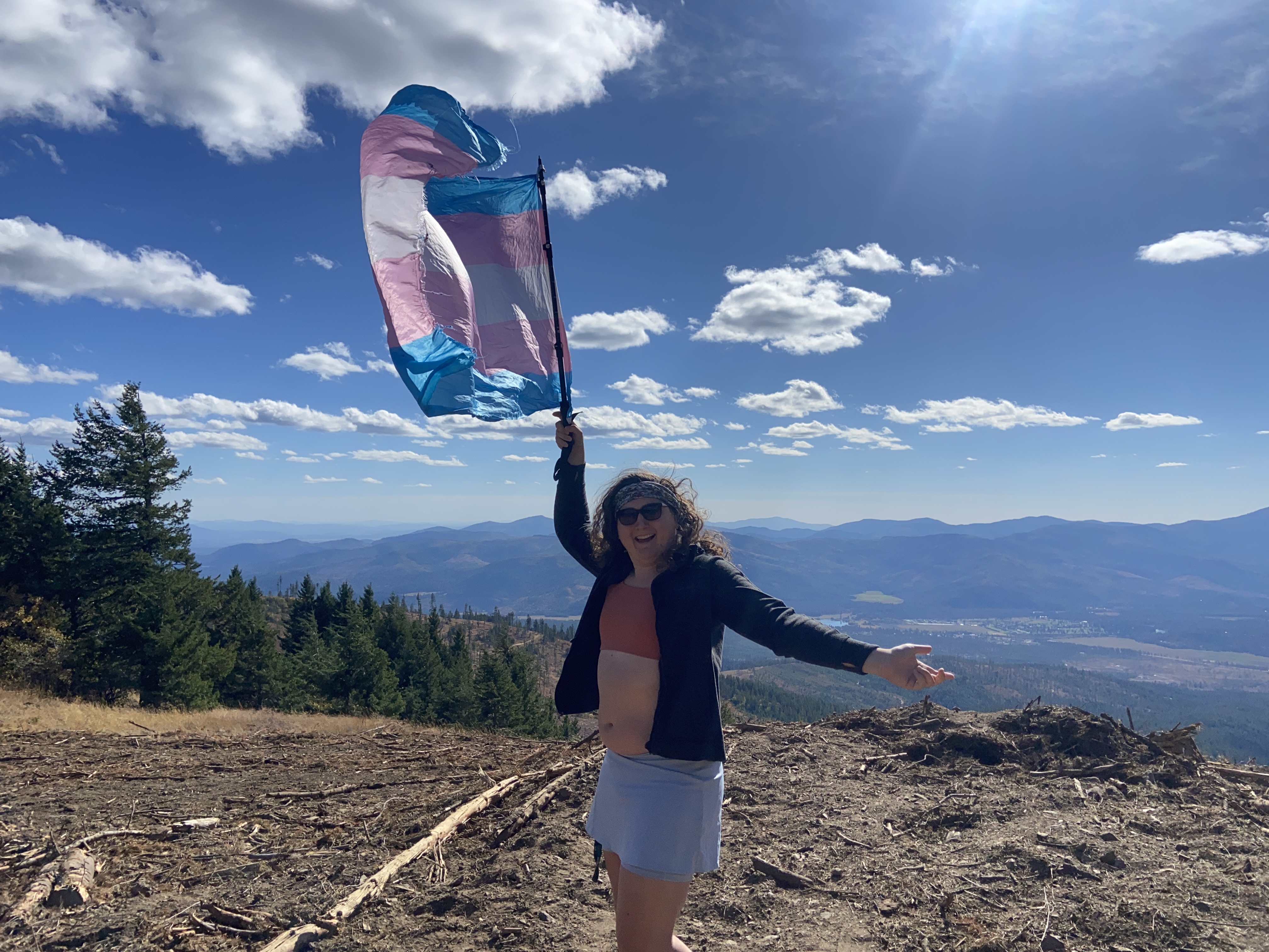
I'm not sure why this mountain has this name, and because of that, I'm not sure if naming it "hoodoo" is problematic, but the word itself is not, so I'm going to cautiously use the name - and if there's a reason for me not to, let me know and I'll slap Alaska conventions on it. The most recent trip report said you'd need a new air filter if you drove the last mile and a half of this road due to the sand, which I thought was a cleaver exaggeration. It really isn't. To do this last section, you'll need a powerful high-clearance vehicle and/or 4wd - and do it when it's dry. That being said, the road up to that point is easily doable in a sedan, so just be ready for a sandy hike if you don't like adventure. So ungodly much sand. But my partner's car is exactly that, and I made it all the way up to the summit and took in the wonderful views out to the west

Long Mountain, October 2nd
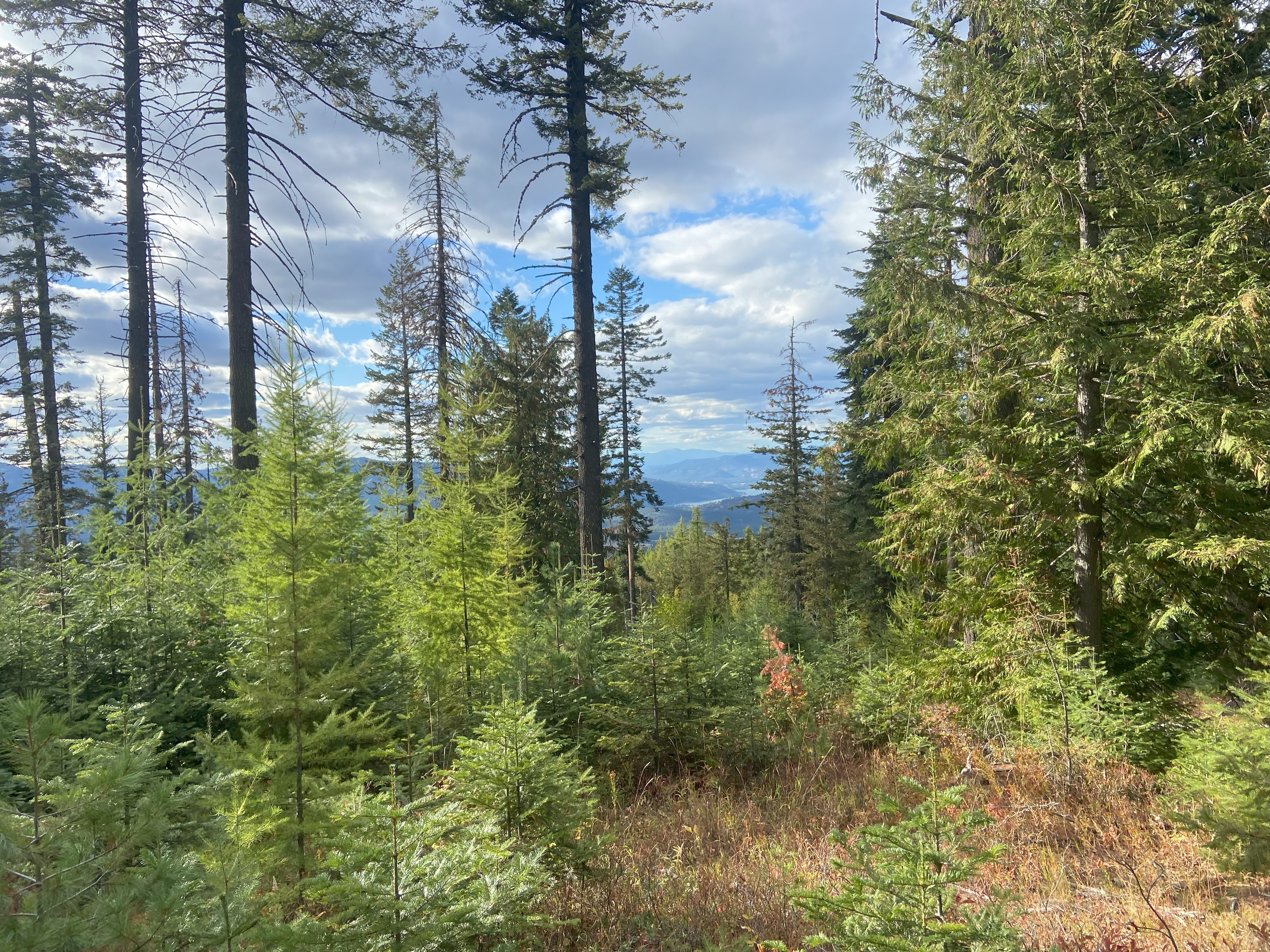
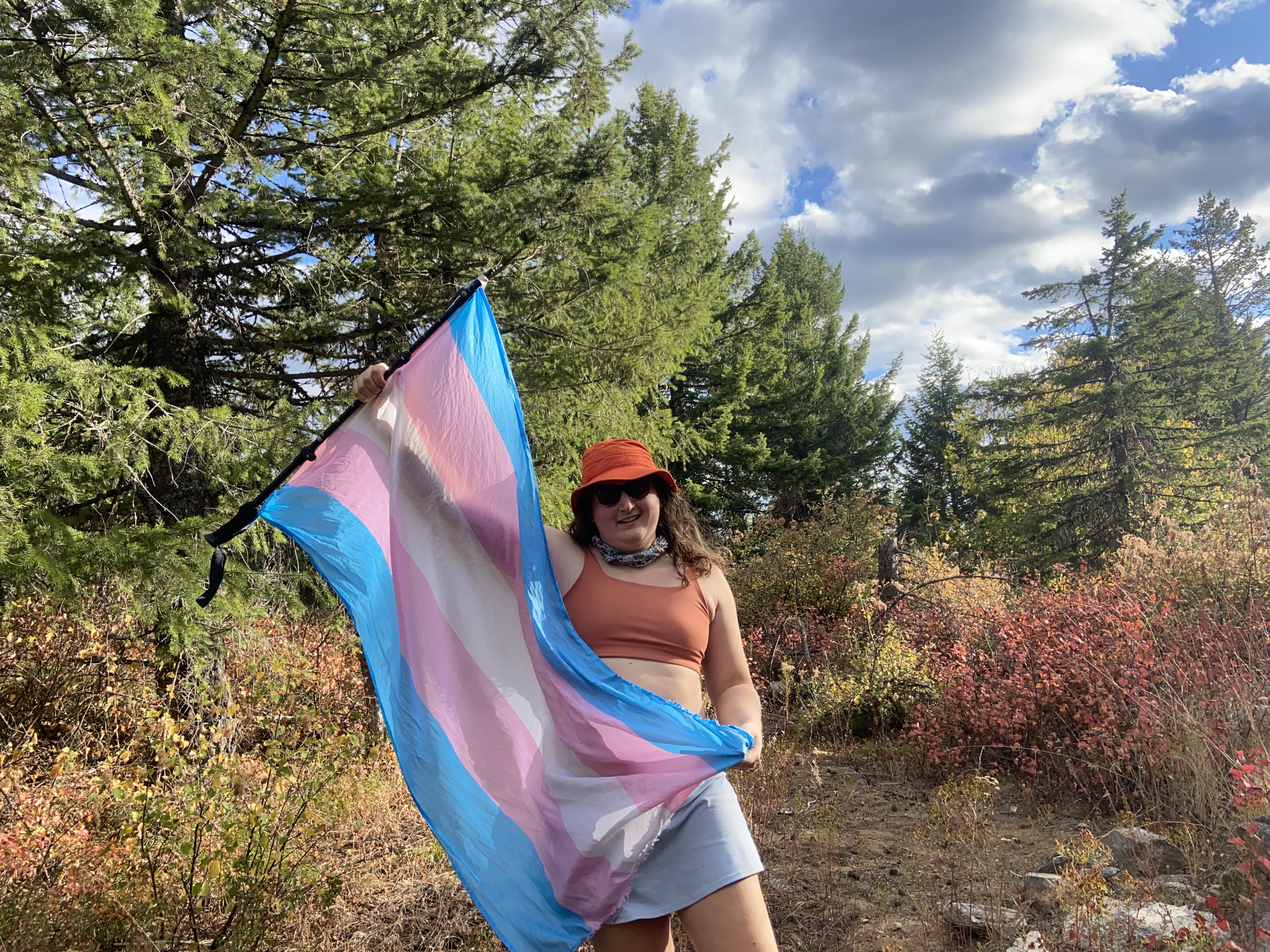
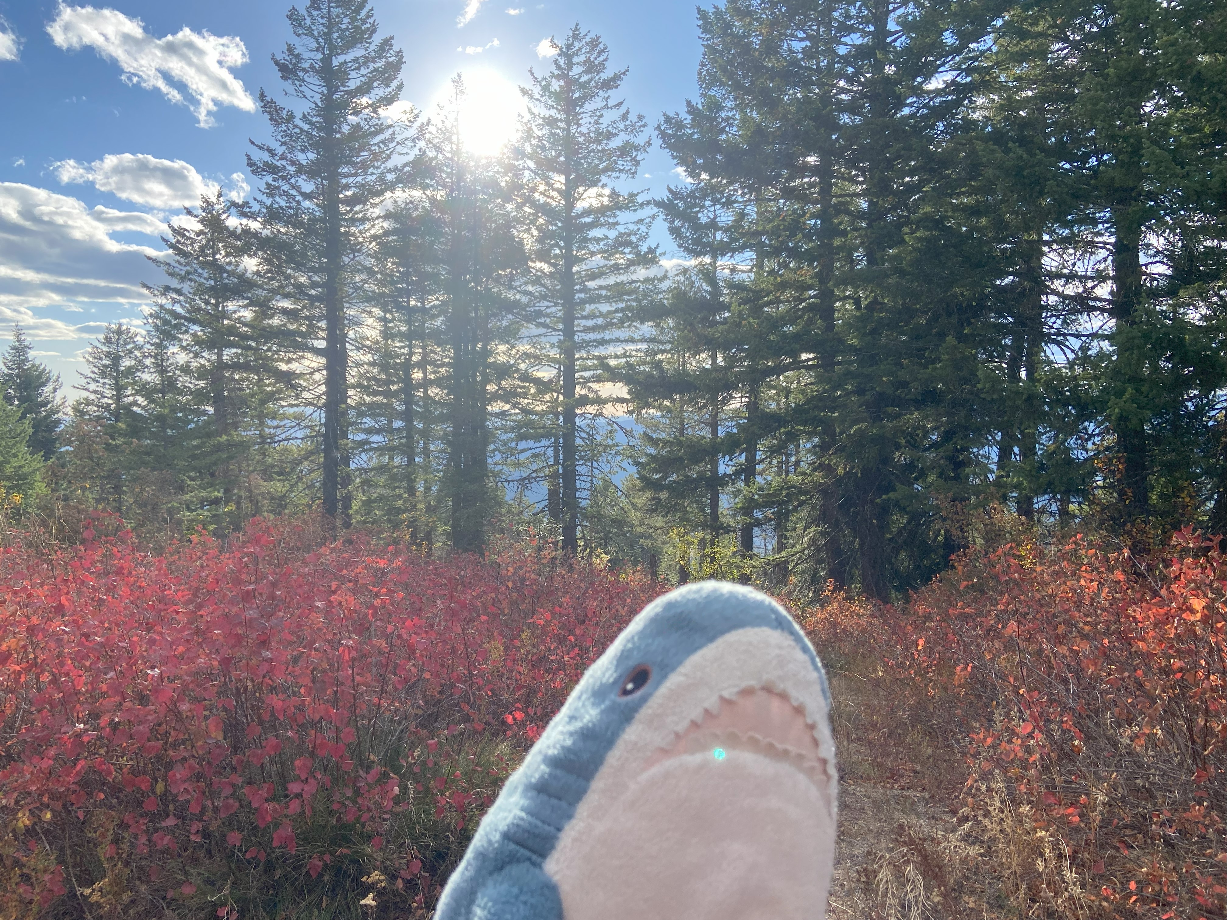
For long, I approached via the standard path from the west, which was doable in a sedan up to 3100ft where it becomes a high clearance road. At 3840ft there's a clearing and I'd recommend parking there, although I will say that my short vehicle could have 3 pointed out from in front of the gate - but still, if you have a truck or SUV, park at the clearing. Anyhow, the road hike was nice and the whack up from there was not nearly as fun. Open woods with sharp underbrush made me feel like I should have worn pants. Anyhow, photos at the top were nice and I took a more direct route down from the summit - would not recommend, as there is even more underbrush west of the summit than north of it. Anyhow, I'm happy to to have gotten this one over with
Steptoe Butte, October 6th
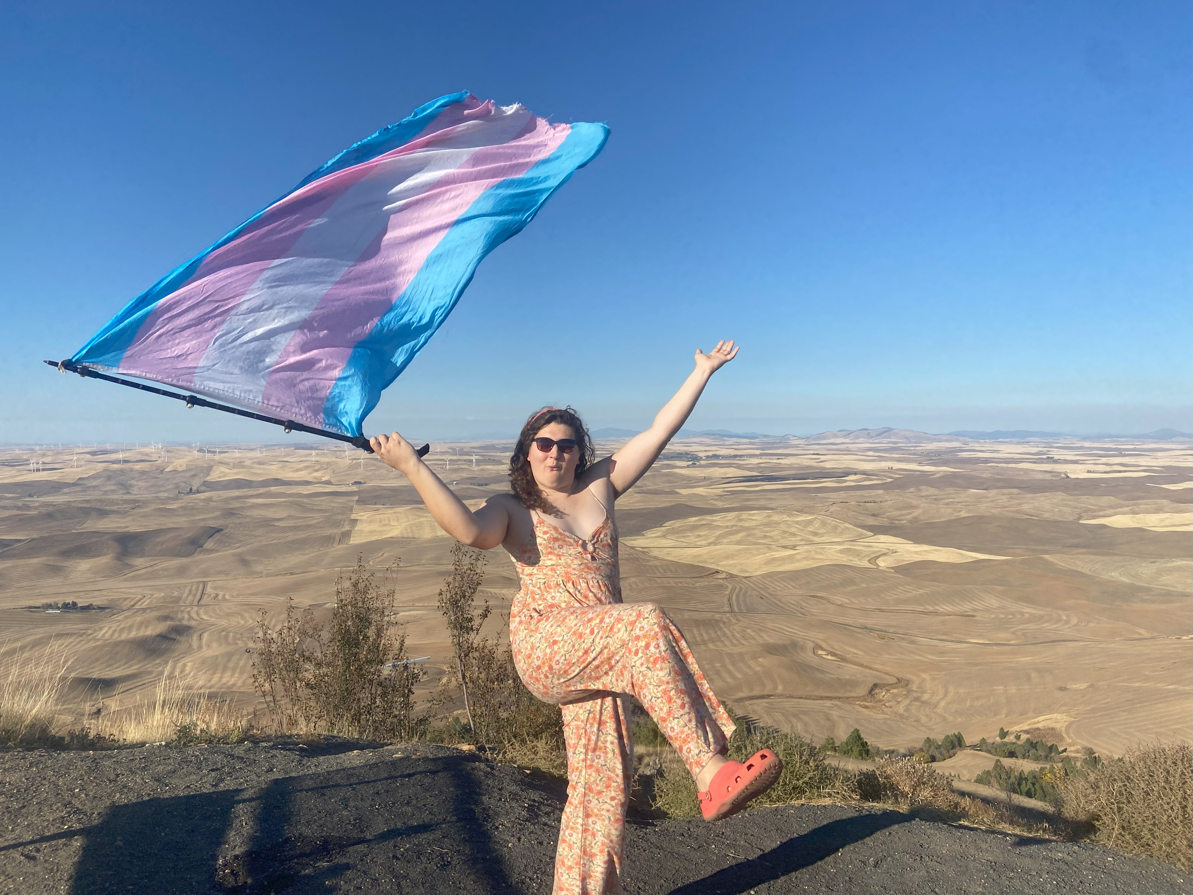
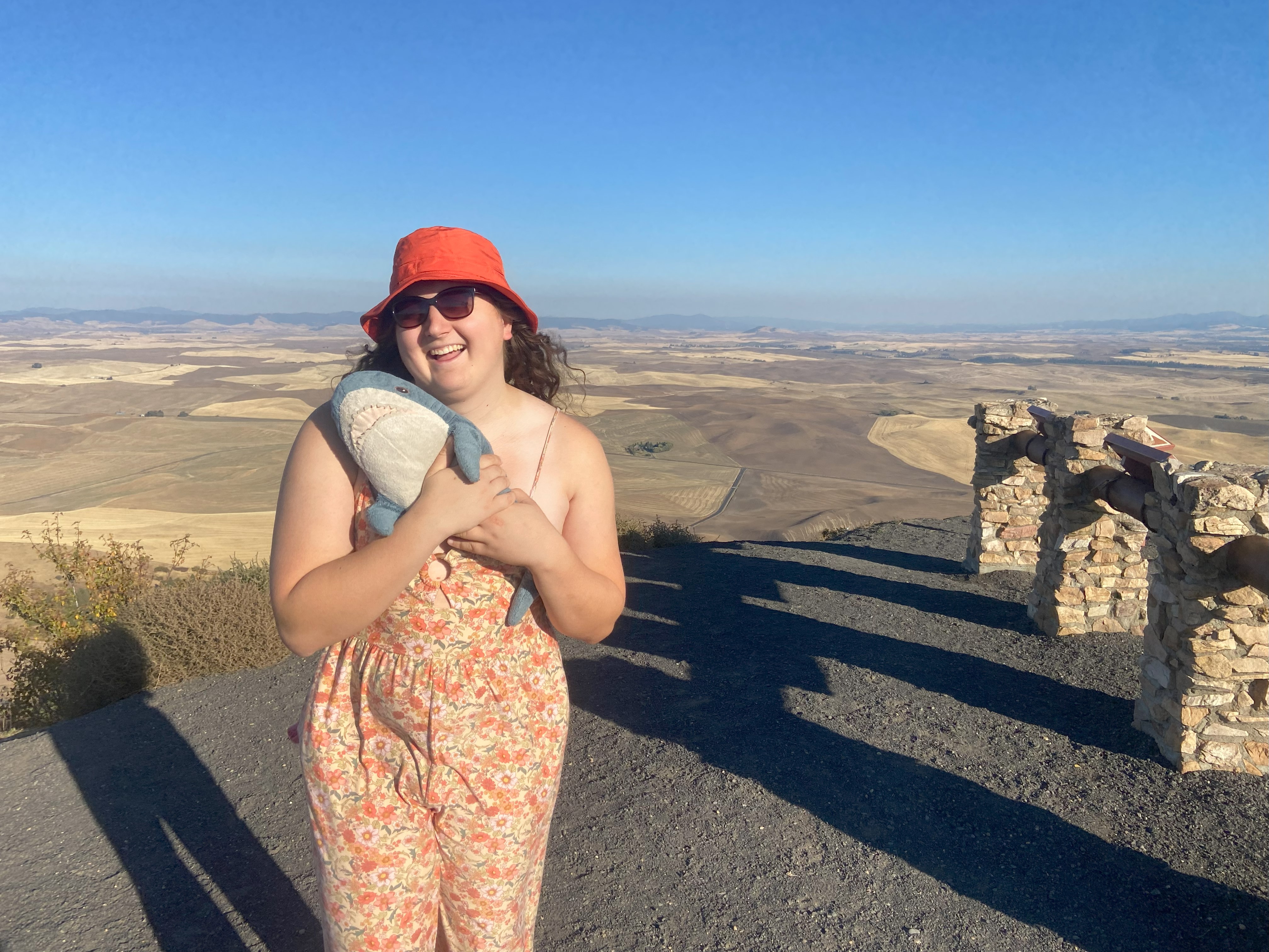
Steptoe has a bumpy but paved road up to the summit and a beautiful expanse of views. I took the chance to wear my new romper to the summit and it turned out nice! I'm gonna try and make an effort to dress up more for my photos on some of these easier peaks because it's so fun to!



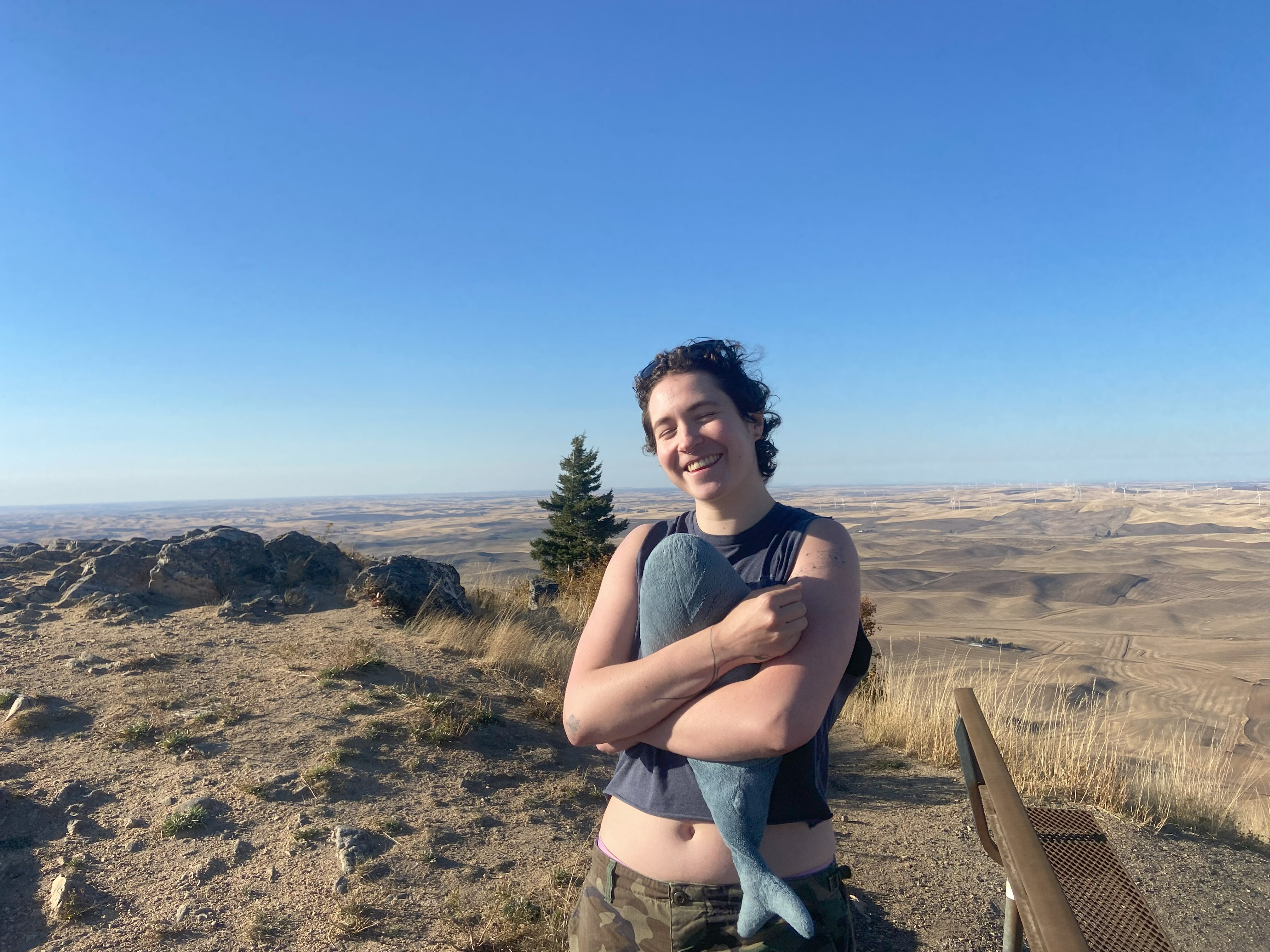
West Dennis Mountain, October 7th
For Dennis, I drove on FR337 right up to the base of the peak - the road is doable in its entirety in a sedan. From there I started bushwhacking up the ridge. The woods were open and the whacking wasn't too bad until I found a trail that started about 50ft from where I entered the woods. Should have done more research I guess. Oh well, the trail was delightful, and although there weren't any views up top, the overall experience was nonetheless delightful
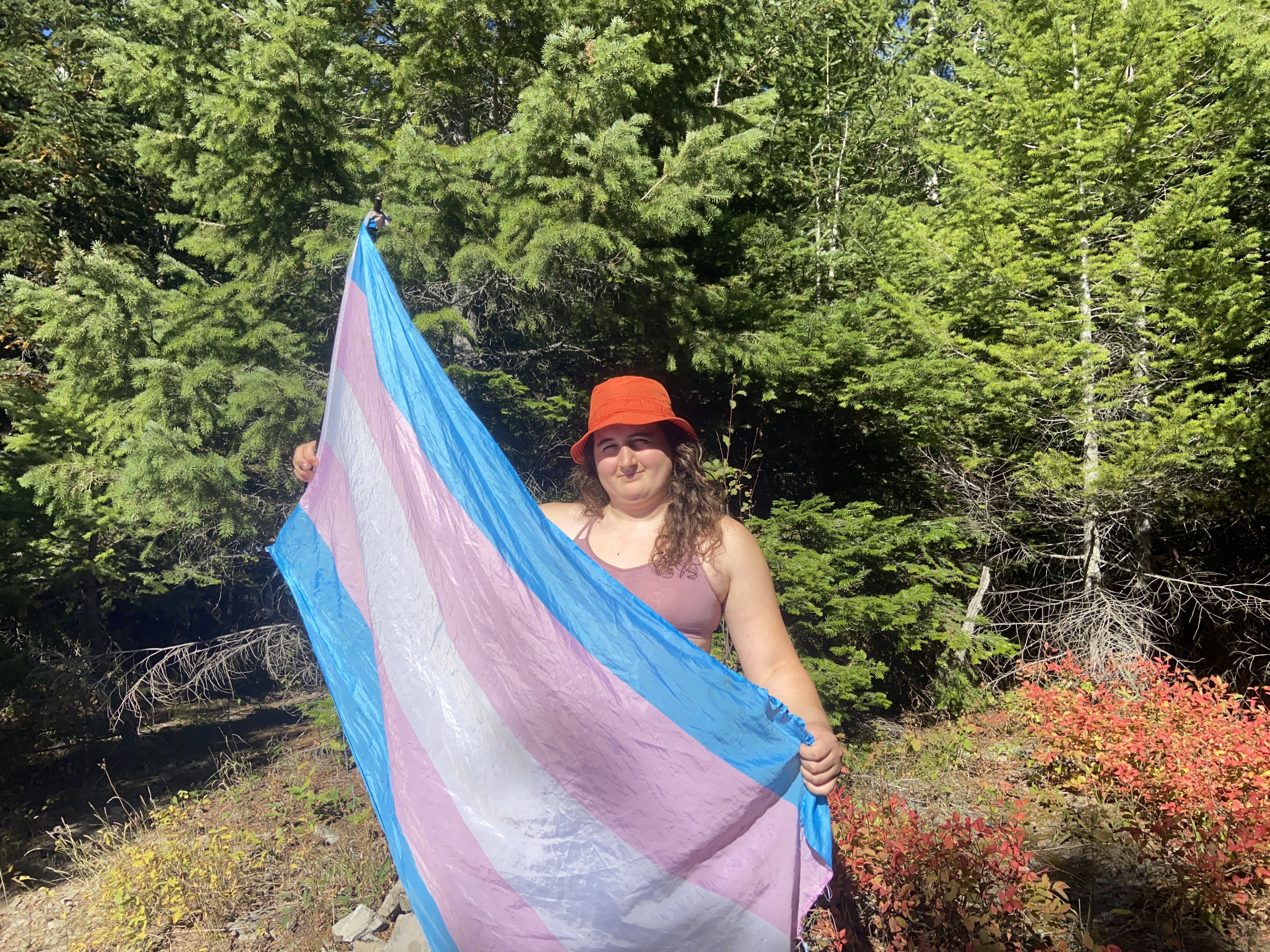
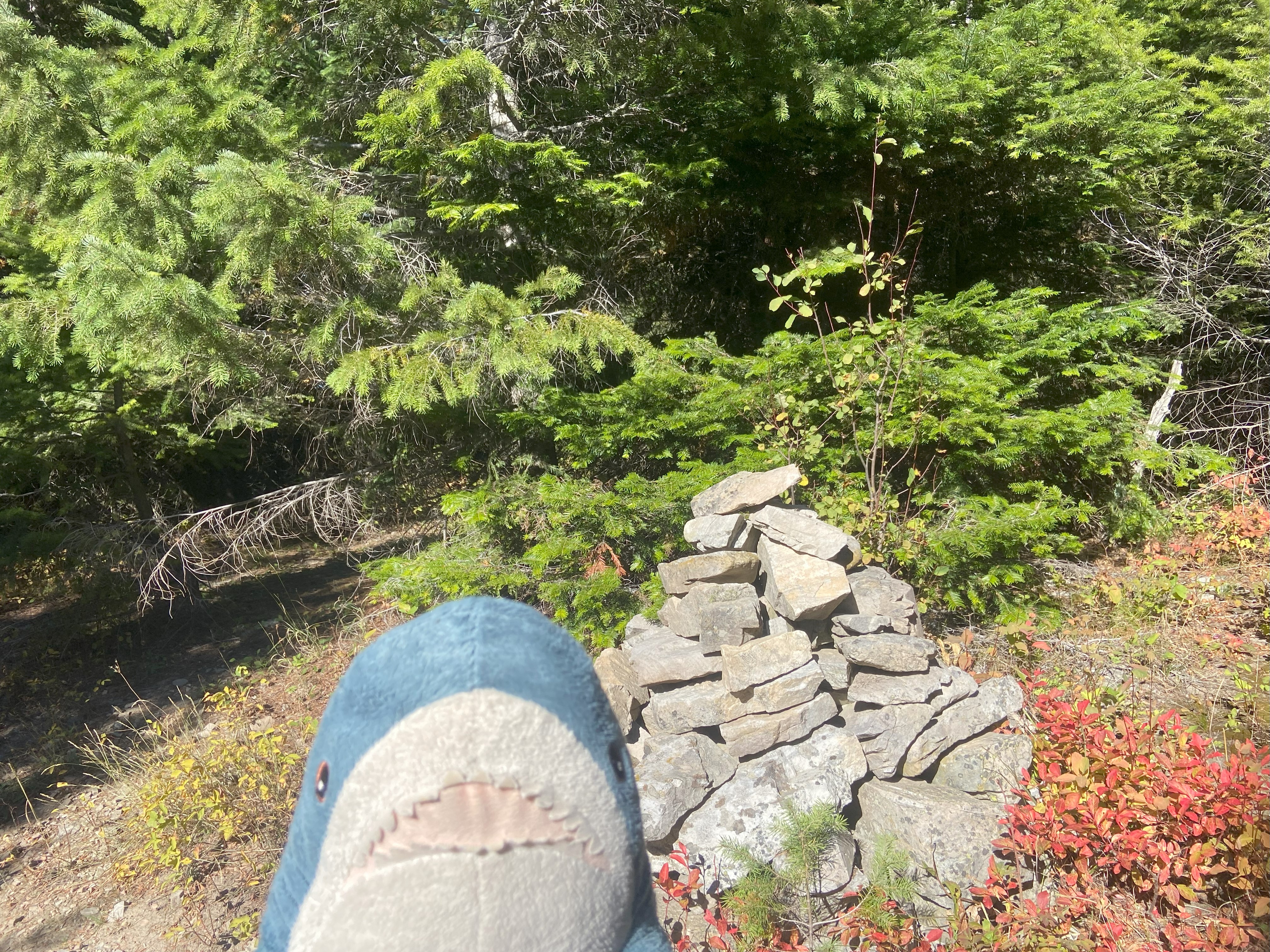
East Gold Hill, October 7th
For East Gold Hill, I started up Jerome Creek Rd, which is easily doable in a sedan up to the hairpin turn at 4100ft, after which the road becomes higher clearance, although I think a skilled and bold sedan driver could still make it farther up. Anyhow, the road takes you right to 40ft shy of the summit, where an ATV path leads you up the last distance. Some nice views along the road
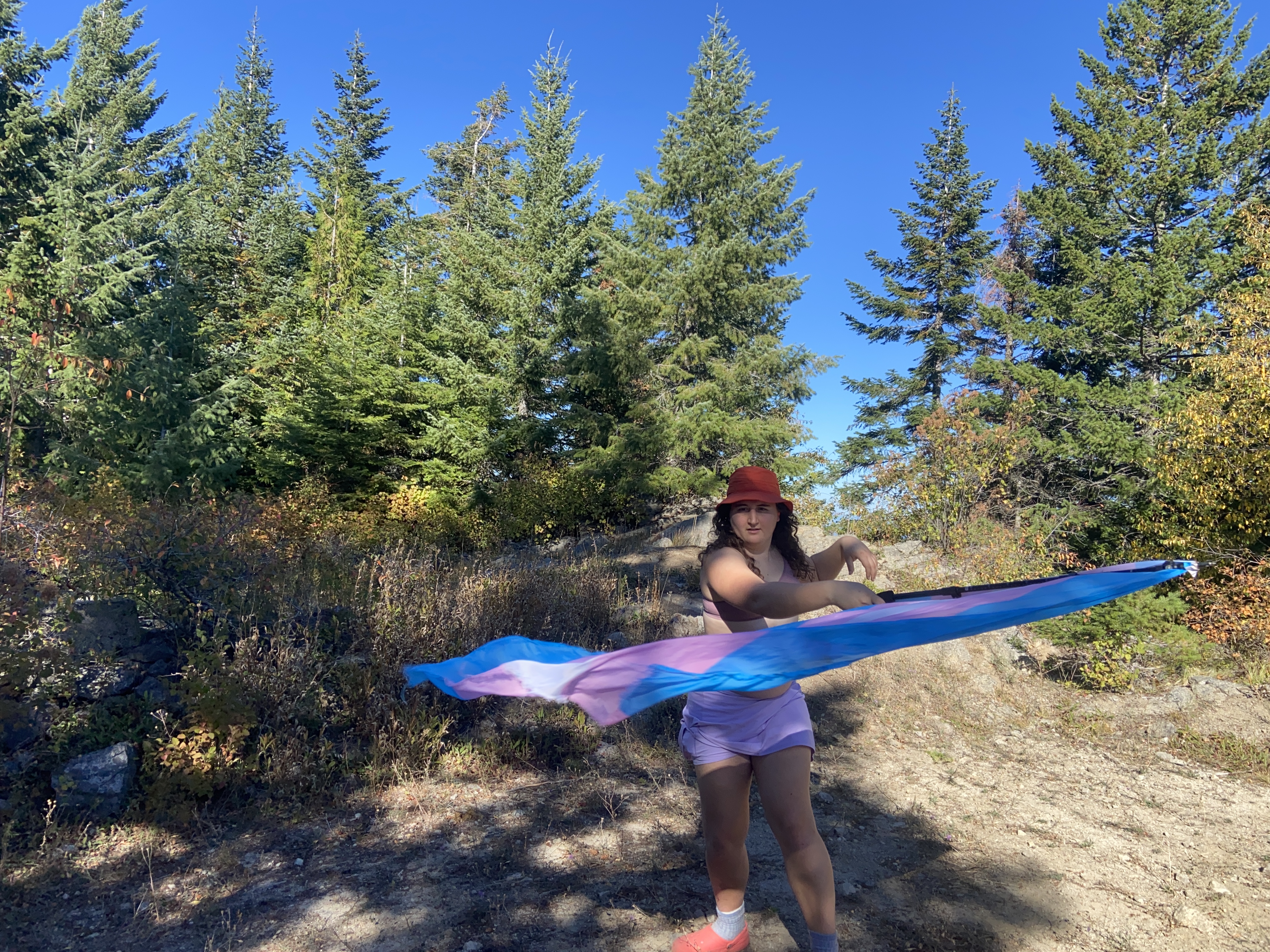
Blacktail Mountain, October 23rd
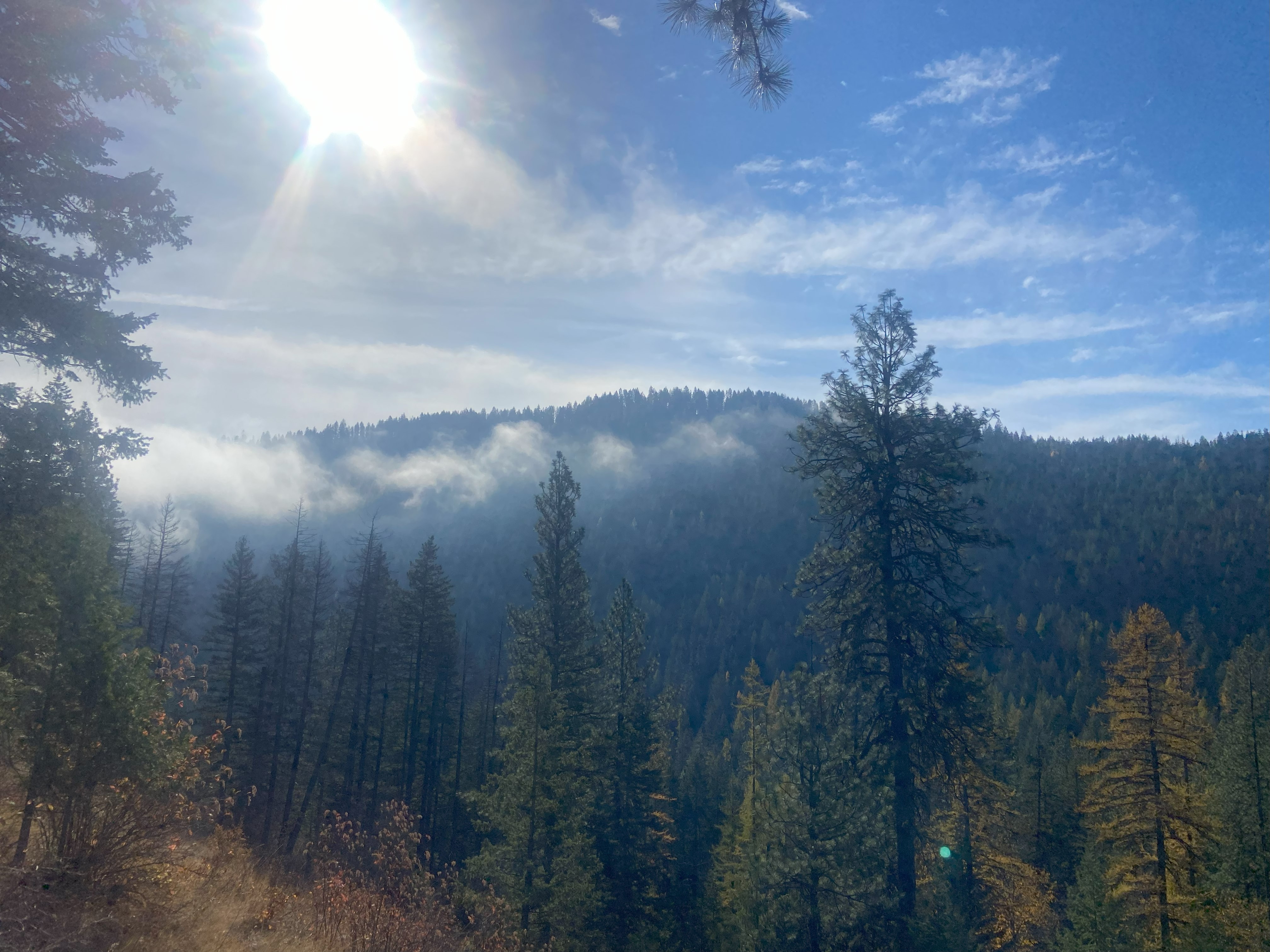
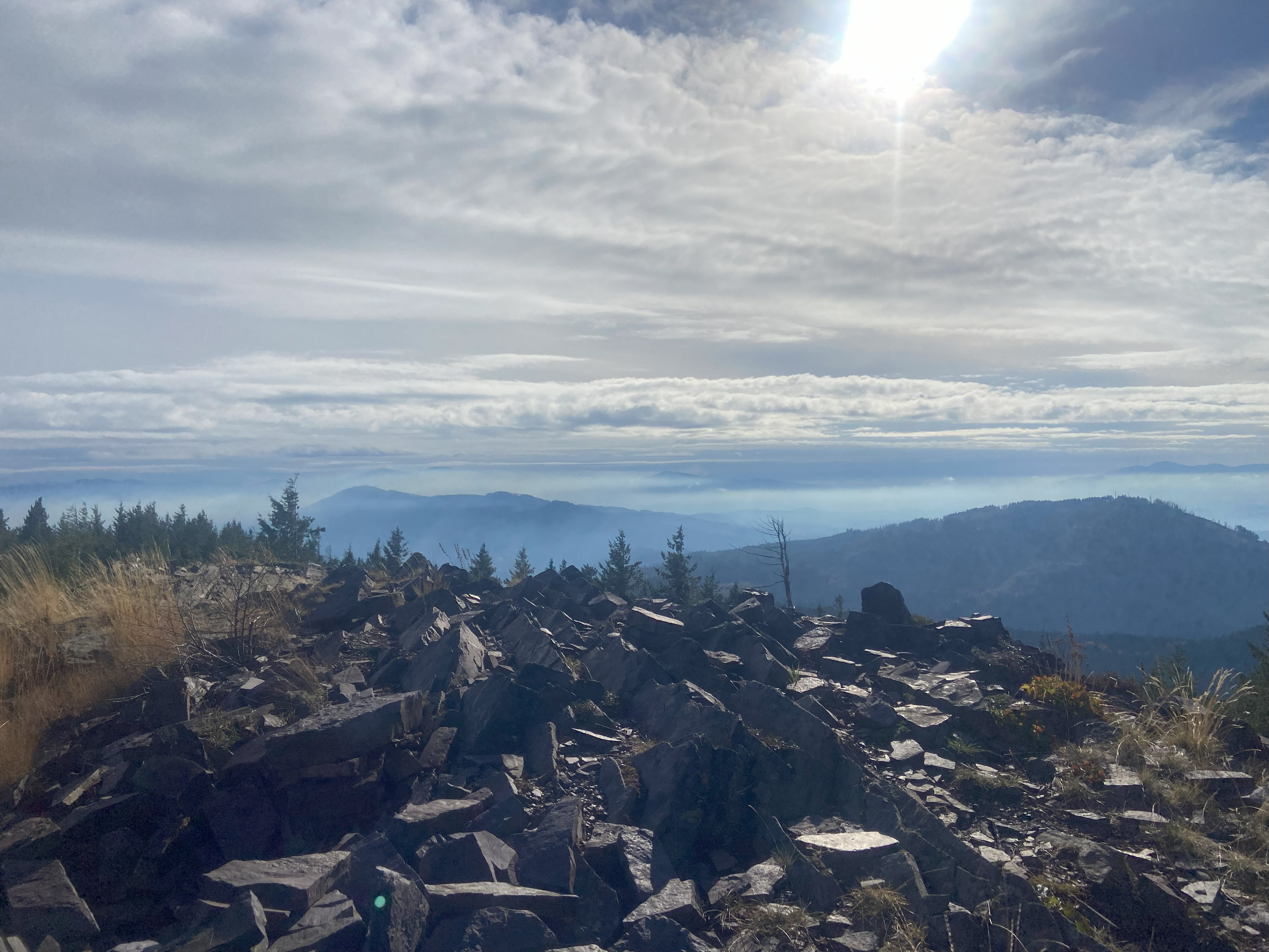
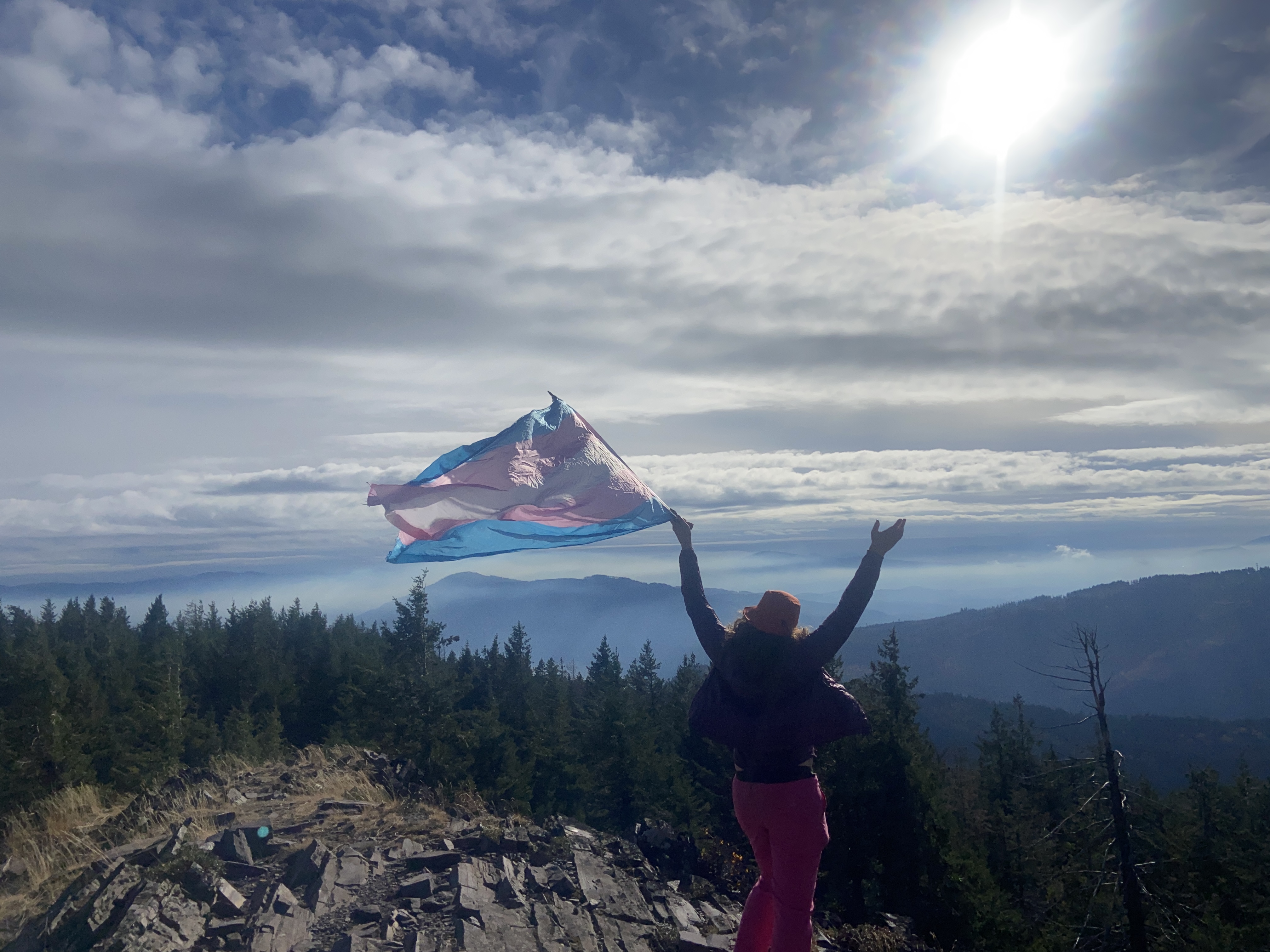
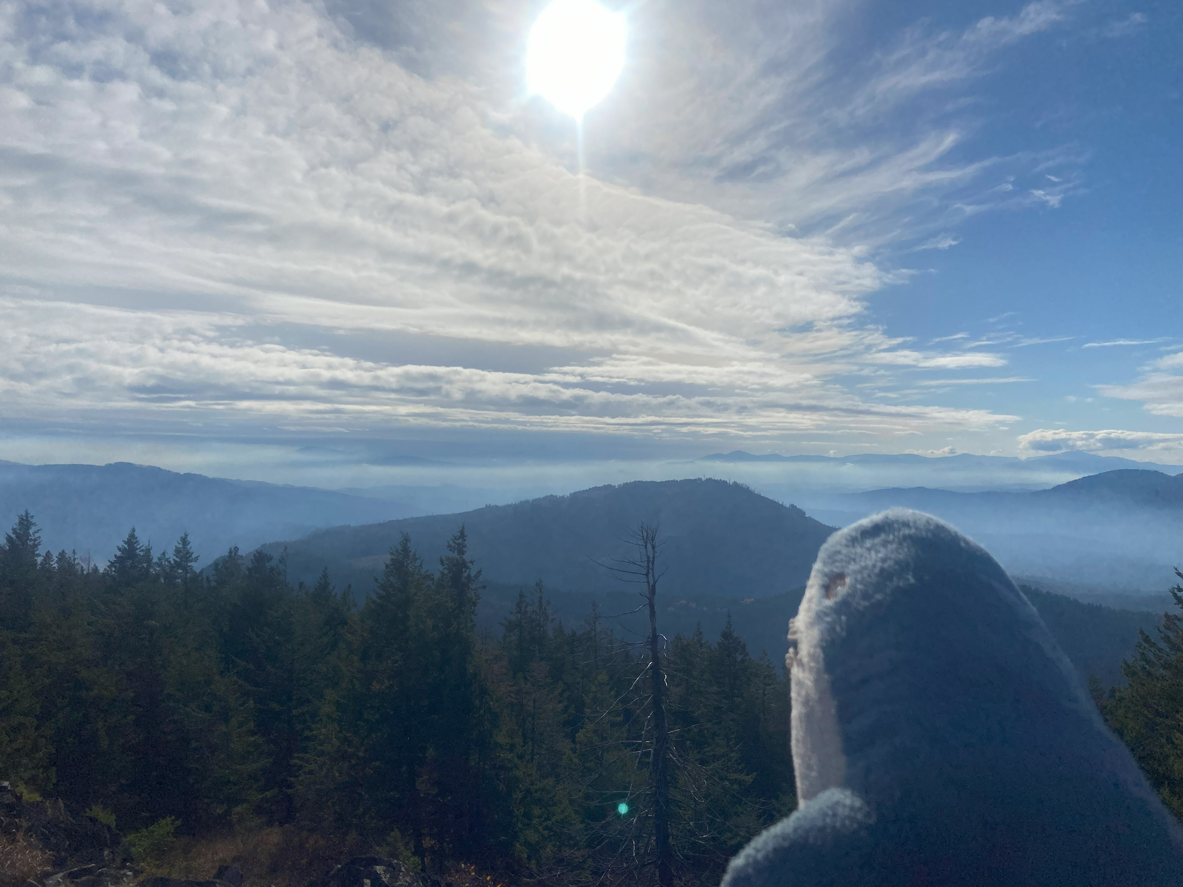
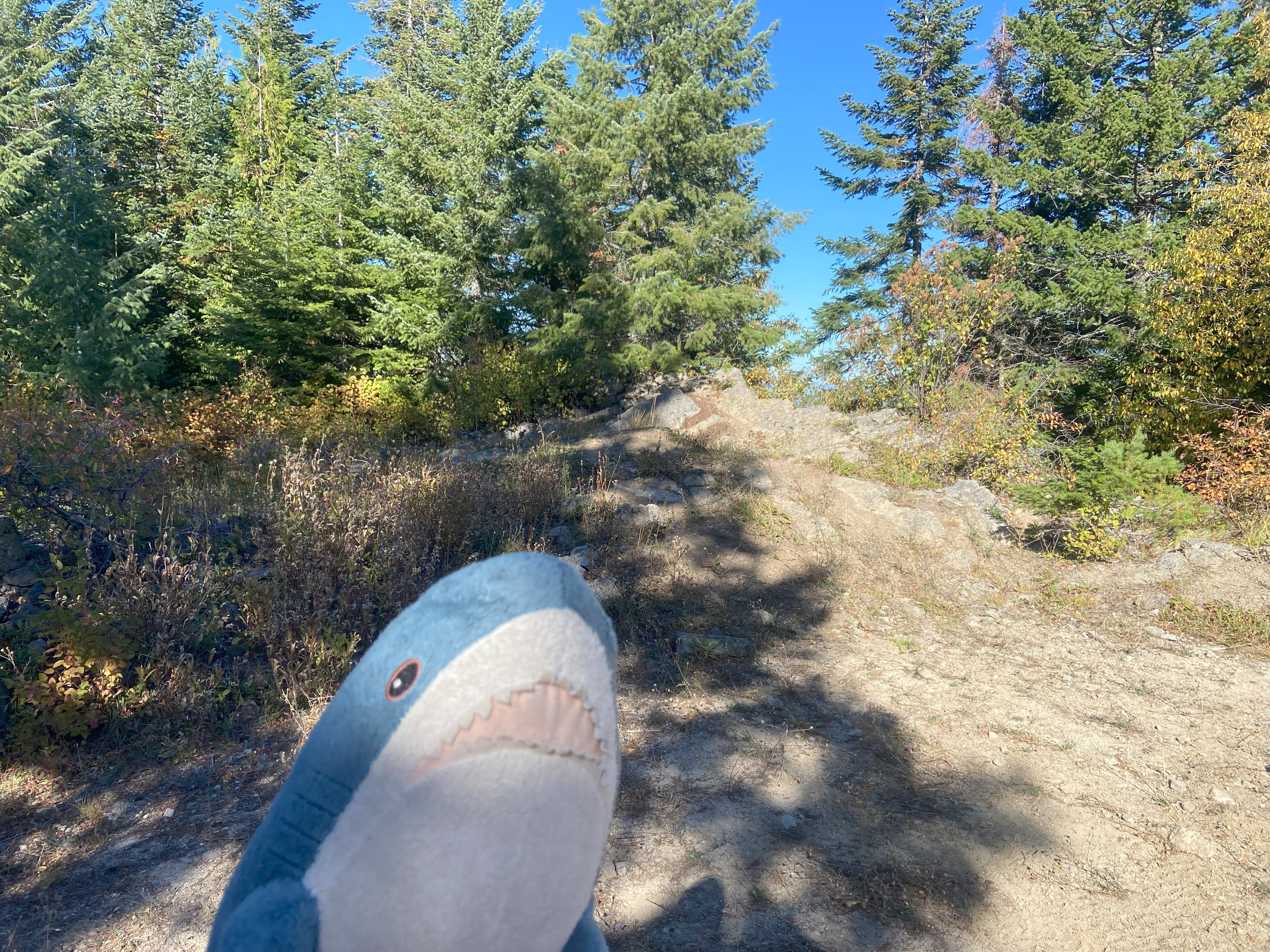
Blacktail was the first hike I had done after getting my asthma diagnosed and finally getting an inhaler - the lack of which was the primary reason all of my fall hiking plans fell through this fall. Nevertheless, after a few weeks of walking more and recovering, I was able to march up Blacktail without any issue. Starting form the trailhead on Butler Creek Rd, it was a steady and graded incline straight up to the ridge, although there were switchback cutoffs that you could use if you wanna kill your knees in 30 years. Anyhow, the ridge was fantastic and the summit was easily one of the most beautiful sights I've seen all year - maybe even the most tbh. Well worth it, and a hike needed to help remind me what I'm capable of
