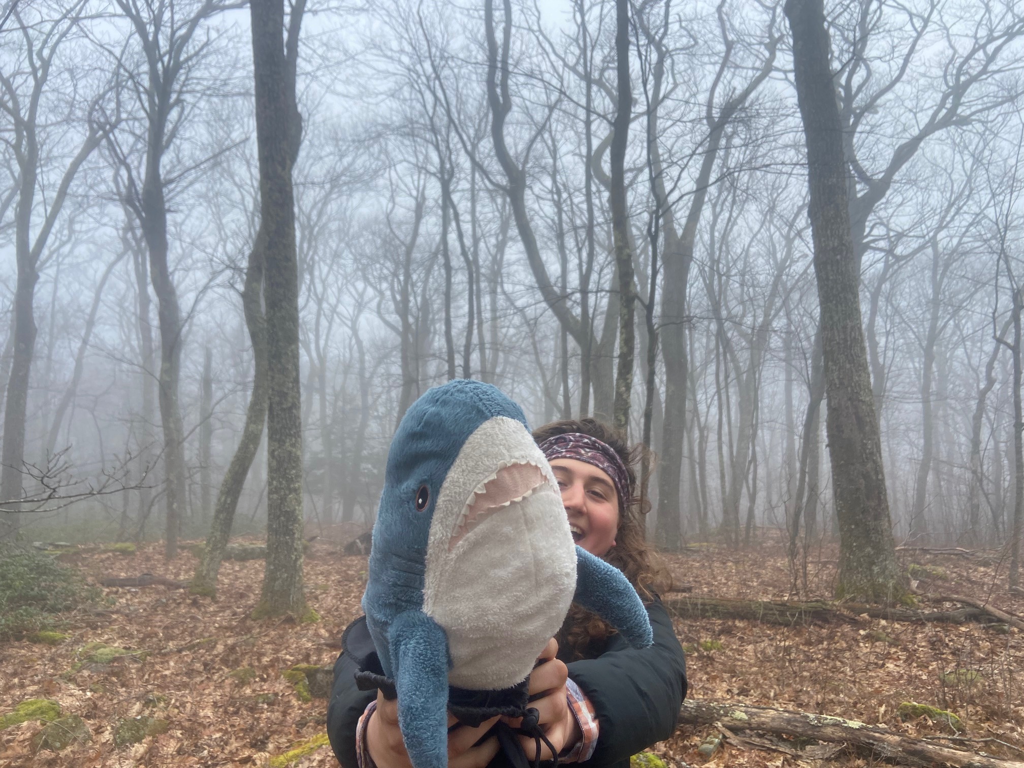
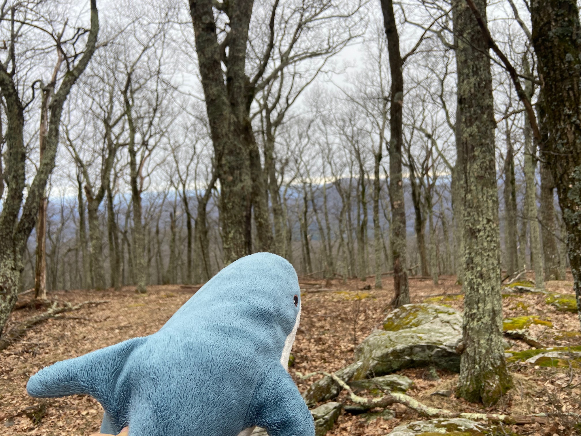
Catskill Divergence: March 25th-March 30th, 2024
After my quick divergence down to Western NY/Northwestern PA, conditions in the Adirondacks still weren't looking great, with only one weekend day for the trails to be packed out. I figured I would have a more enjoyable and more efficient time over in the Catskills than by packing out trails with more than a foot of snowfall with no snowshoes (blasted past me had left them behind in Vermont). I had largely overlooked the Catskills up to this point, with my abrupt departure after West Kill soiling my best chance to bang out the Catskill 35s back in July. I ended up deciding not to finish them this time around due to the opprotunity cost of hiking more in the Adirondacks, but I did nevertheless knock out five additional peaks on the list, along with three other P1ks that I had unsuccessful assents of last summer. Overall it was enjoyable, and I left myself with only five days of hiking to finish the CT35s if I choose to before driving out west in the fall - time will tell if I do!
Mount Pisgah, March 25th
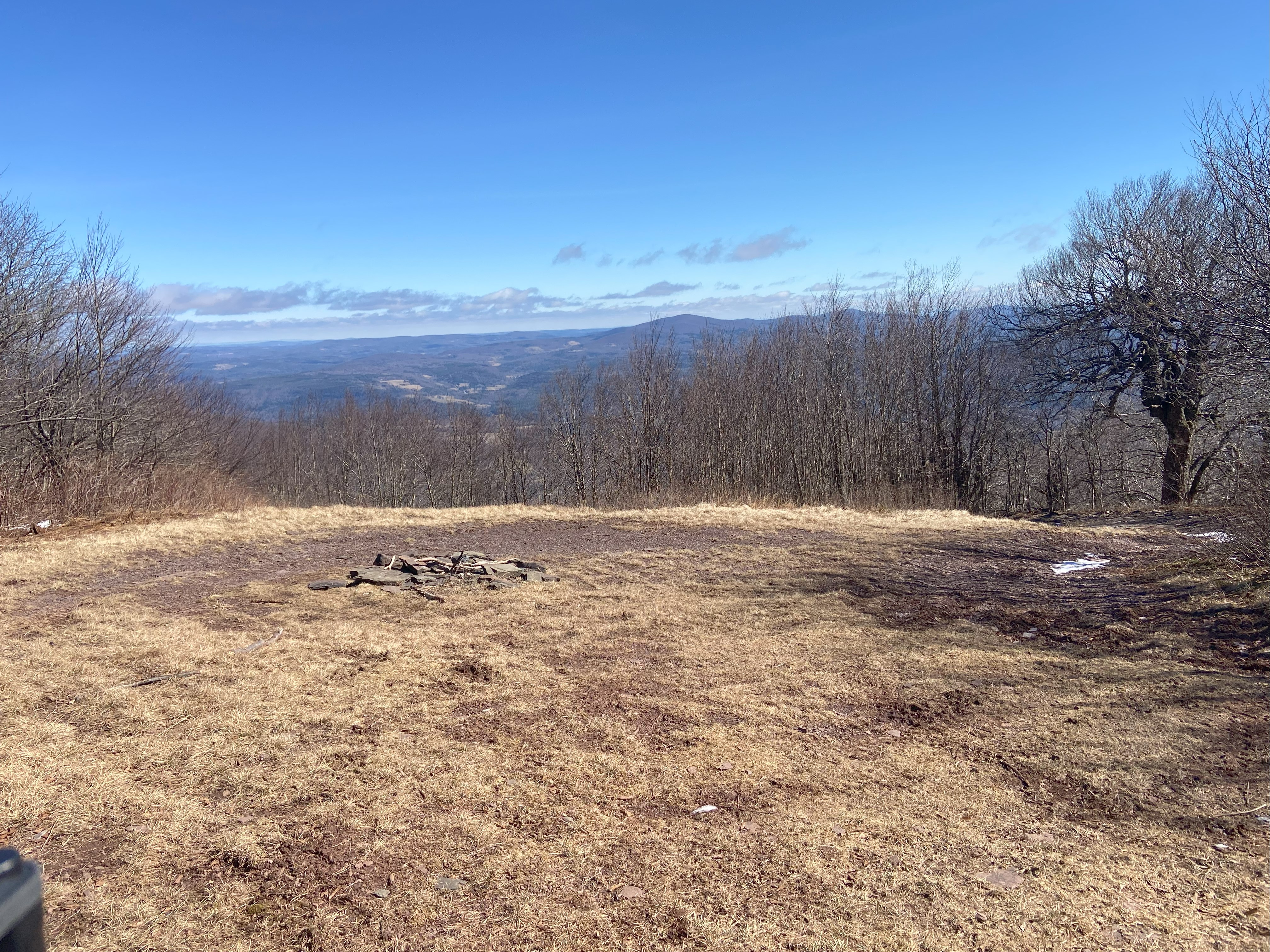
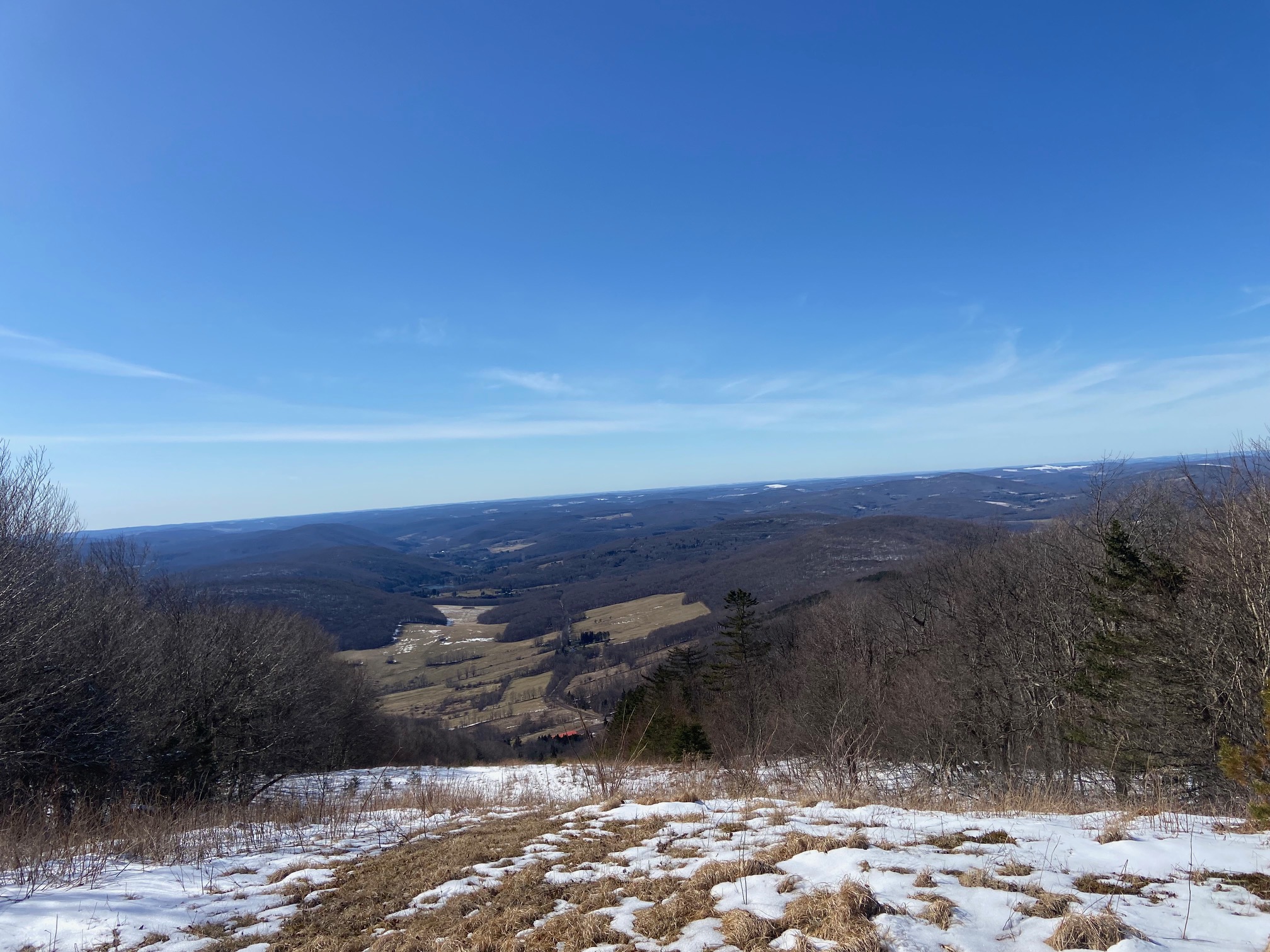
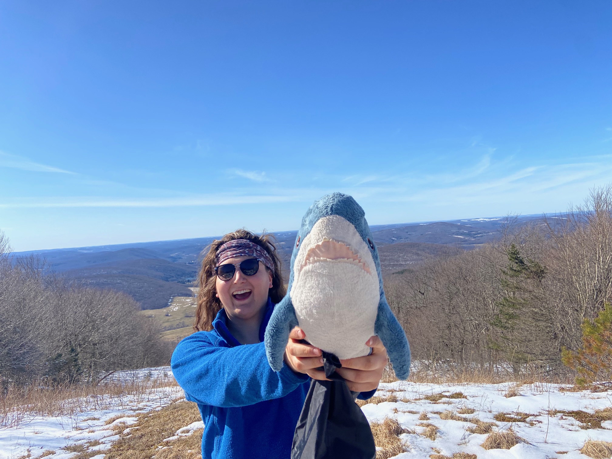
Reach out on peakbagger if you want additional information about this peak. Pisgah is the site of an abandoned ski area, with a road winding up on the northwestern side of the mountain. The property is posted, so I parked my van over in Andes and biked up the road to the gate, and then started up the main road. During mud season this was, ambitious, to say the least, and the slush further up the mountain certainly didn't help - steep and slippery! Nevertheless, the view at the summit was pristine: looking due west, there's nothing taller for a thousand miles, and I've never felt so on top of the world on such a short mountain in my life. If you get the chance, I would highly recommend this little gem of a mountain - just be sure not to ruffle any feathers in doing so!
Ticetonyk Mountain, March 26th
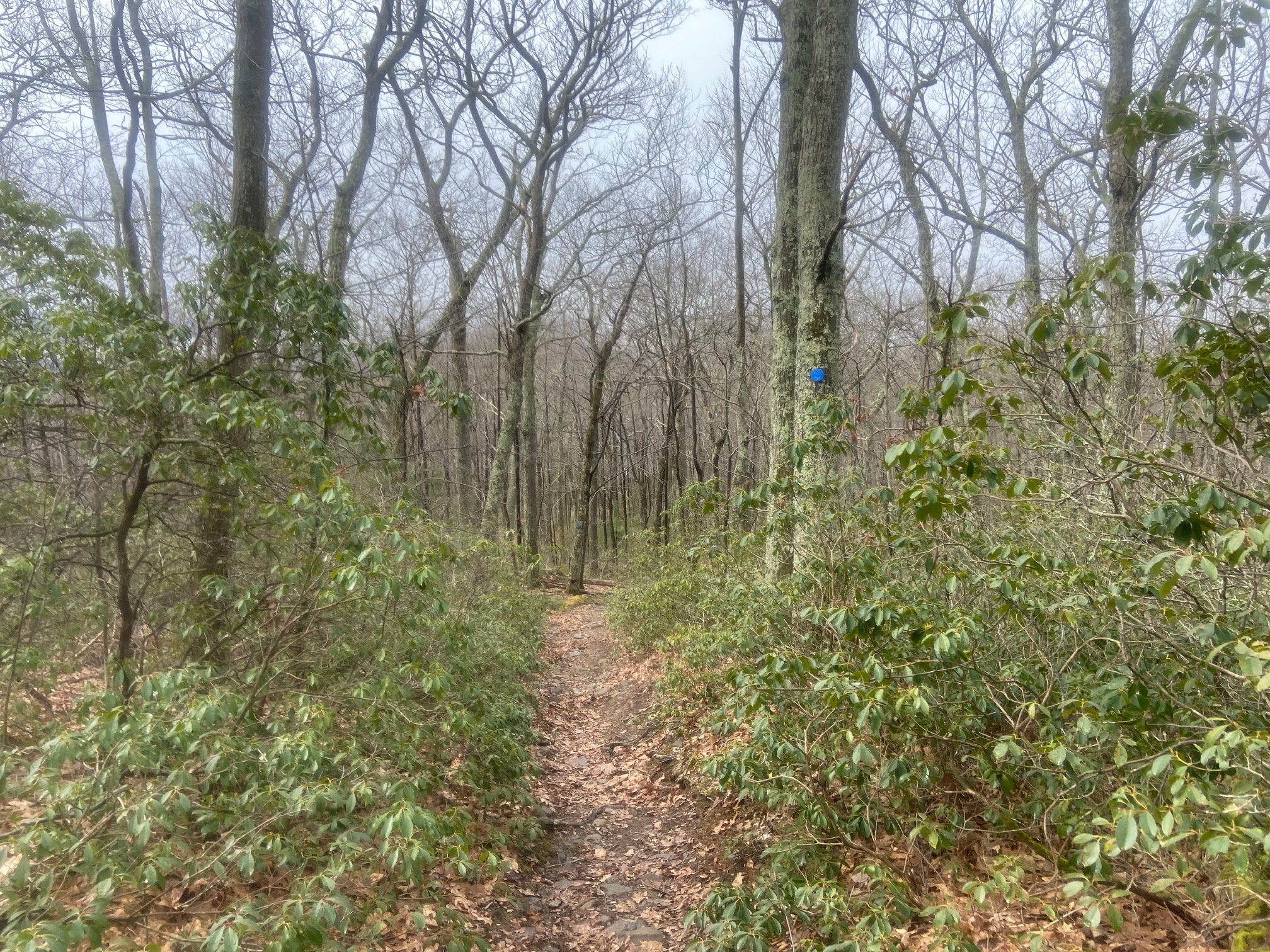
Ticetonyk Mountain I had tried to climb as the third peak for my project, but quickly found the prospect of bushwhacking again in the summer to be intolerable. I didn't think I would try again, but circumstance brought me here again. I started up the trail and took it to the ridge without issue. Right at the trail hooks sharply to the left, there's a heard path leading to the right that takes you to a posted sign which forbids hunting and trapping, but not trespassing, so I followed this route for a bit before whacking up to the summit. The woods are pretty open, but the summit itself is buried in dense rhododendron, and I figured the last 40 feet weren't worth it for me, so I got my photo just below and headed down. Overall a nice hike!
Mount Tobias, March 26th
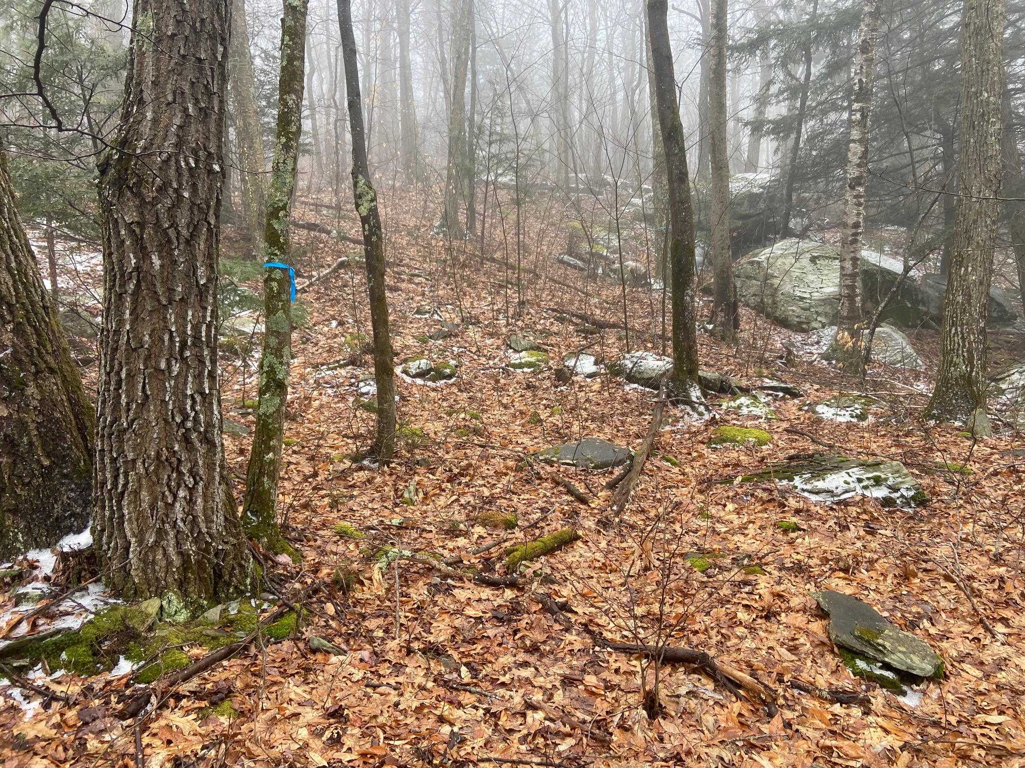
For Tobias, I parked at Kennith Wilson Campground and biked up Abbey Road all the way to the culdesac at around 2000ft. There was a pulloff earlier I could have parked at, and I did see what I assumed was another peakbagger parked there, but I didn't sweat it - my ebike really is changing the game for me. Anyway, the road past the culdesac is posted, but it's only the *road* that's posted, so I hugged the side of the road and avoided the rich persons house to whack through open woods all the way to the summit. The fact that the woods got noticeably healthier the farther you got from the rich person's house speaks volumes. Anyway, the summit itself had limited views of Ticetonyk to the south, and was quite beautiful. The way down was uneventful
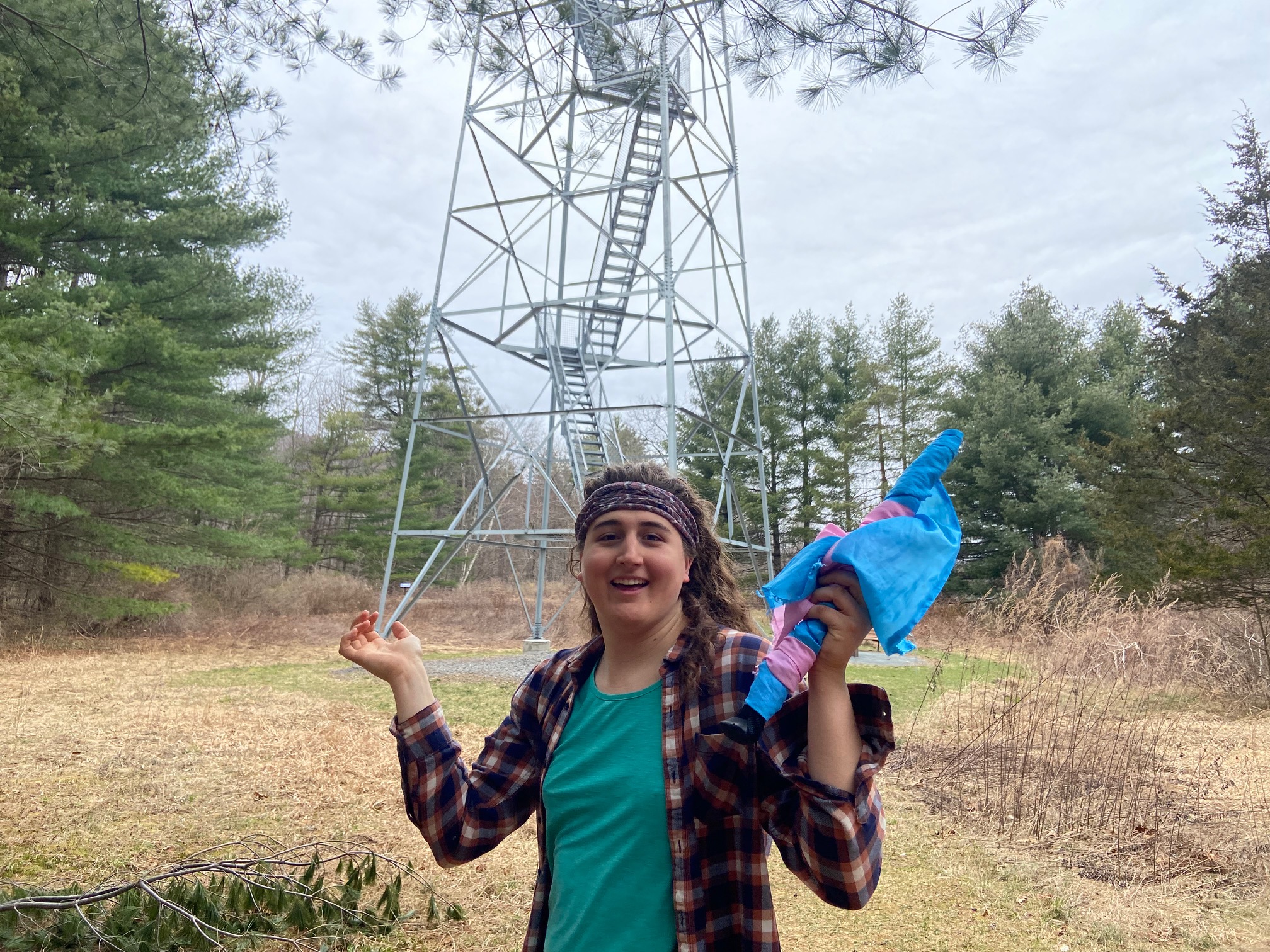
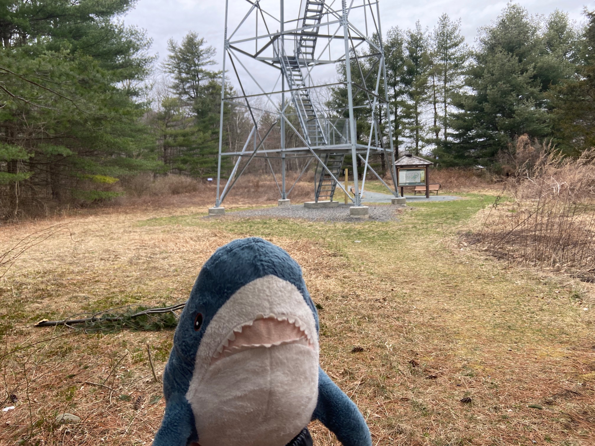
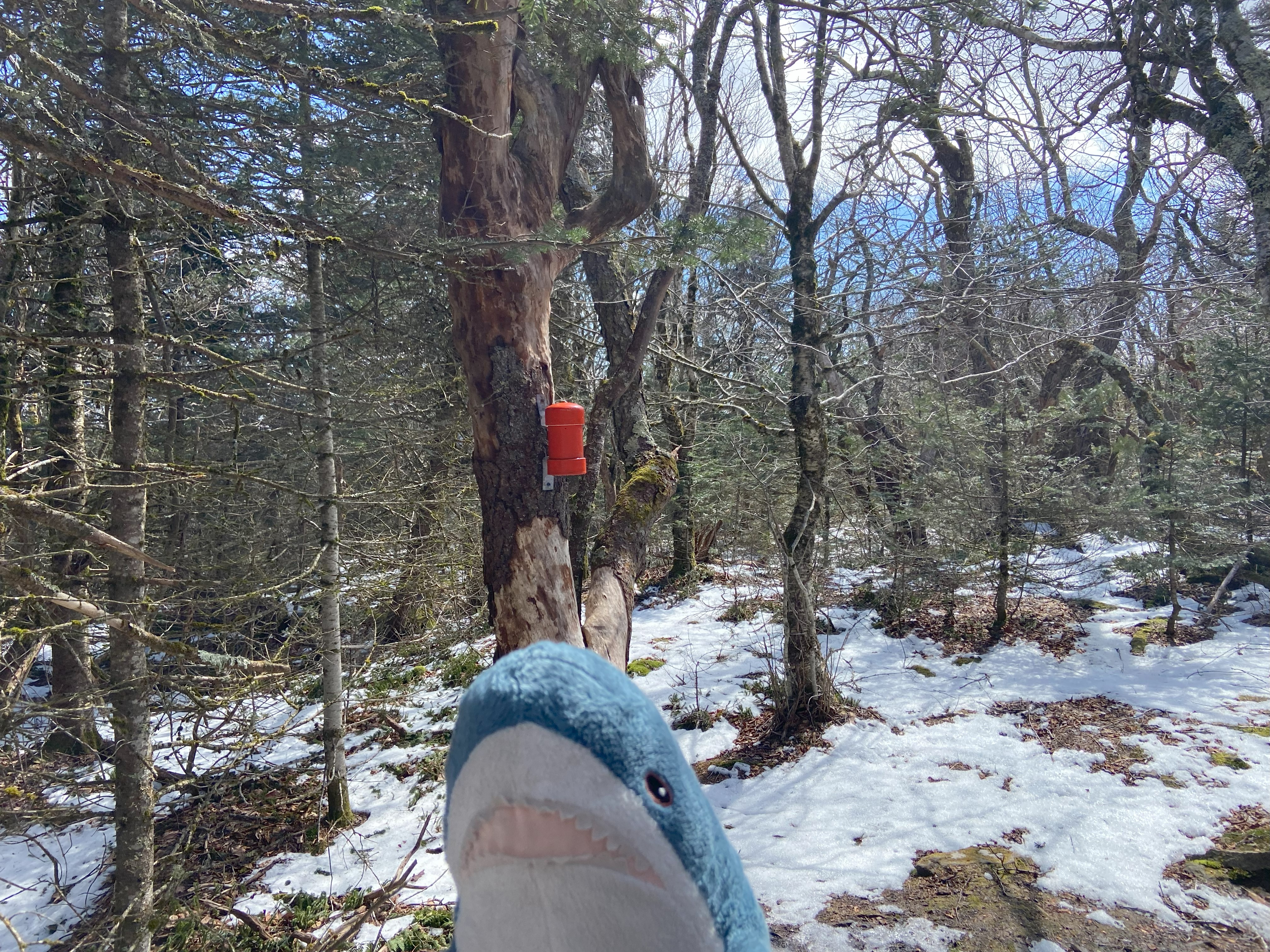
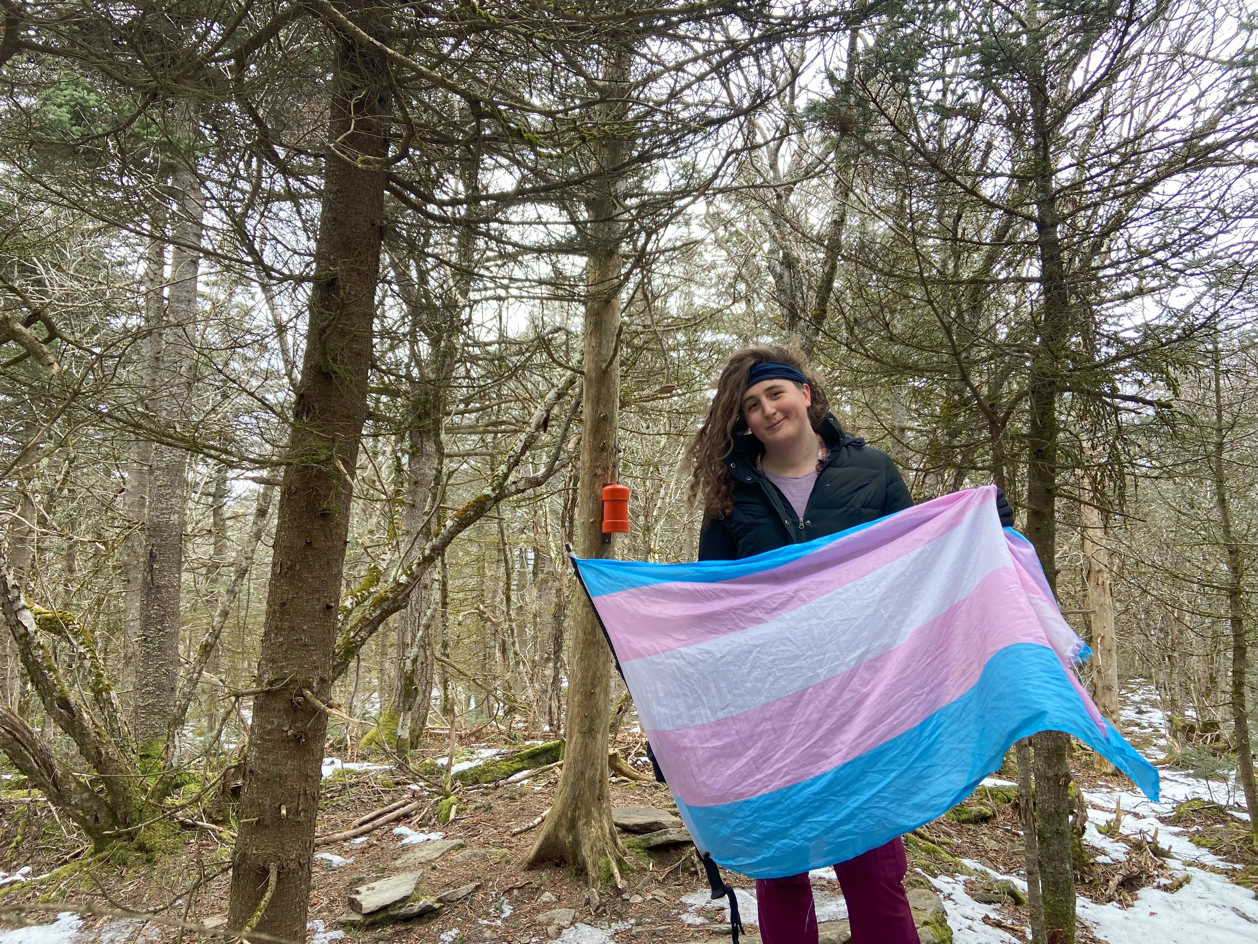
Upper Esopus Fire Tower, March 26th
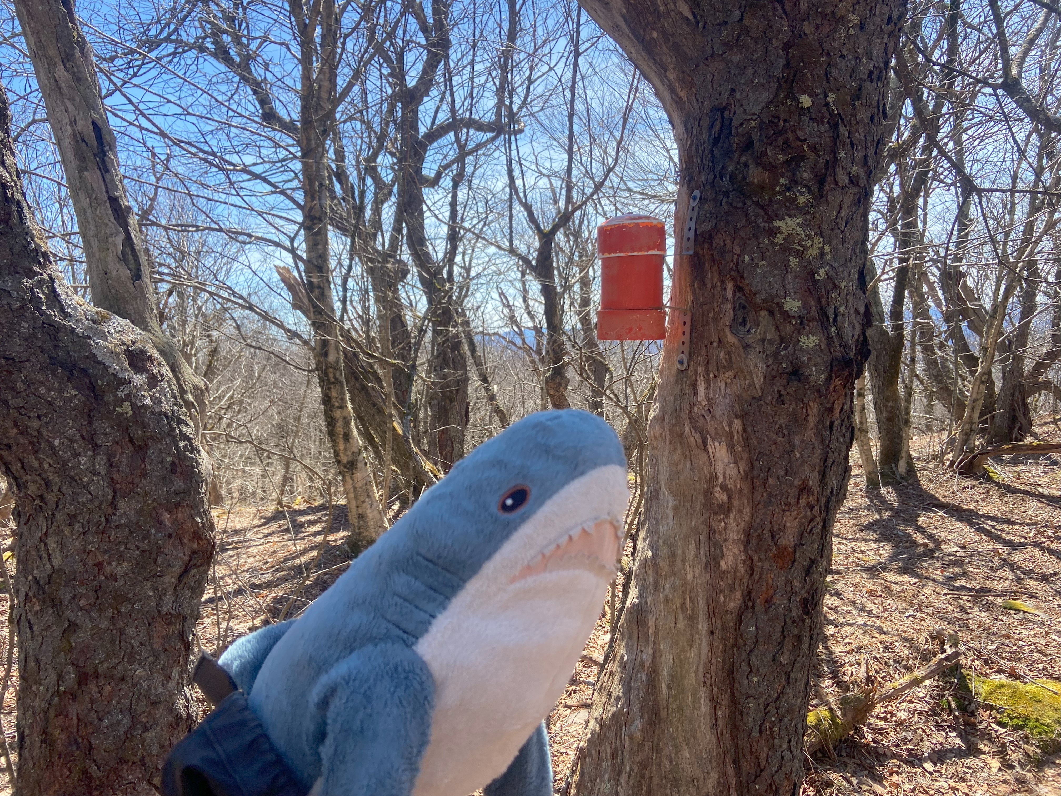
I didn't know this fire tower existed until I checked the official Catskill Fire Tower Challenge and found it. Apparently it's a restoration/reconstruction designed to be accessible without a hike, which is an admirable goal. That being said, I still don't have a high opinion of this tower's placement. It's not on a mountain, a hill, or even some high ground - it doesn't even reach far above the trees surrounding it. You can absolutely make an accessible fire tower that still makes geographic sense. Wayah Bald in NC and High Point in VA do exactly this with dirt roads leading to towers with ramps up to the tops, with pristine views of the surrounding areas. Fuck, even Kuwahi and Attakulla do this with paved roads and nearby facilities. Upper Esopus? Not only is it in a geographically bad position, but it also can only be climbed, and although my anecdotal experience is just that, I found it to be the hardest fire tower in the Catskills to climb. Not very accessible, if you ask me - I think disabled people deserve better. Anyhow, it's still an official fire tower on the list, so I got my photo and moved on
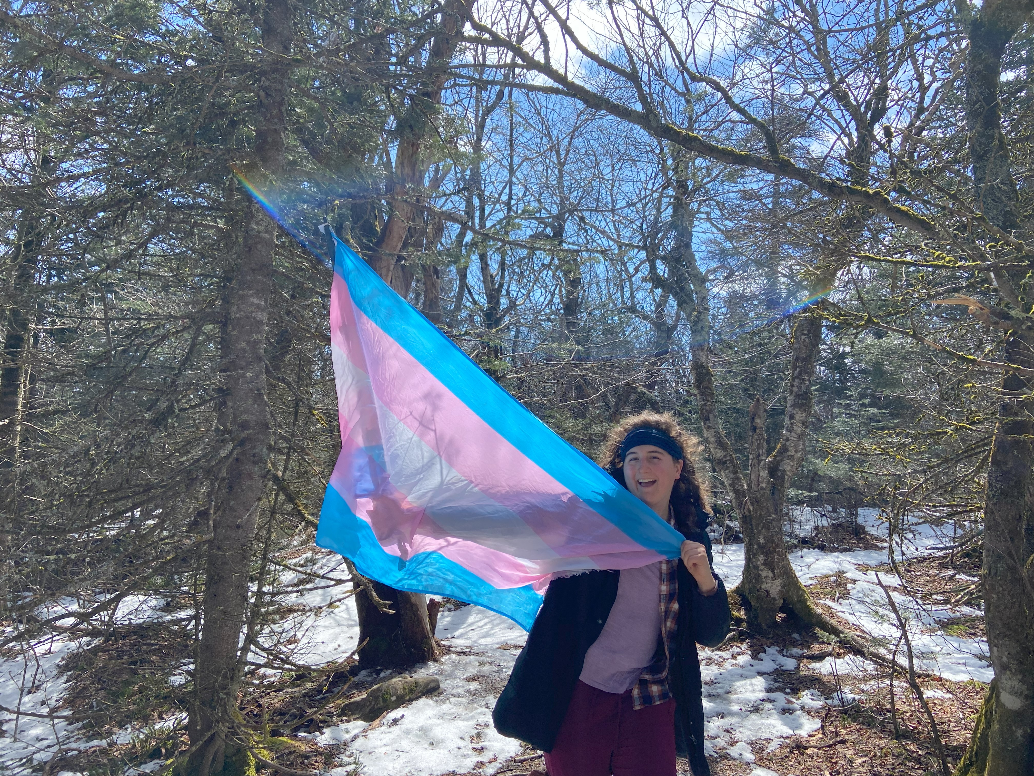
Kaaterskill High Peak, March 27th
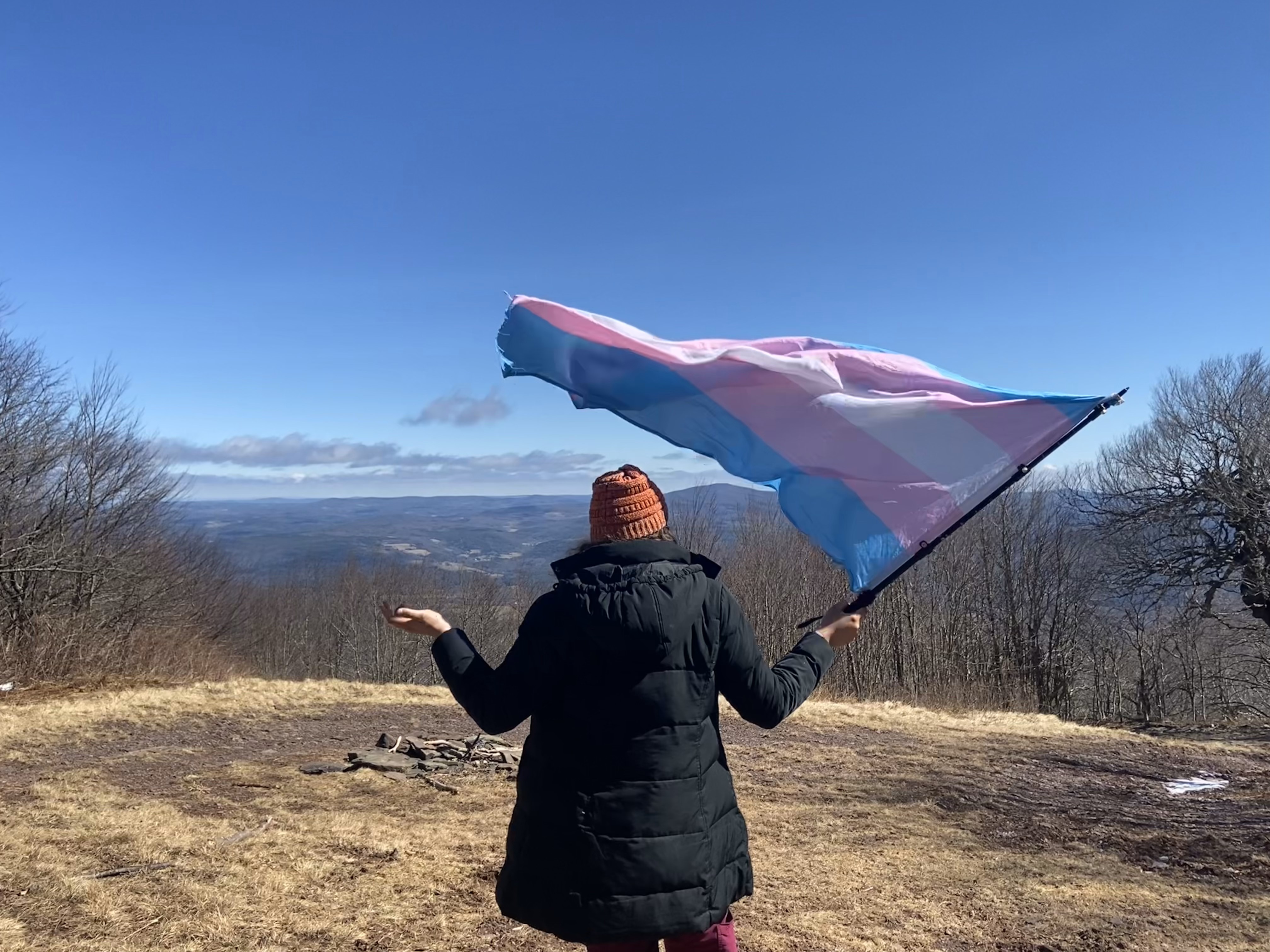
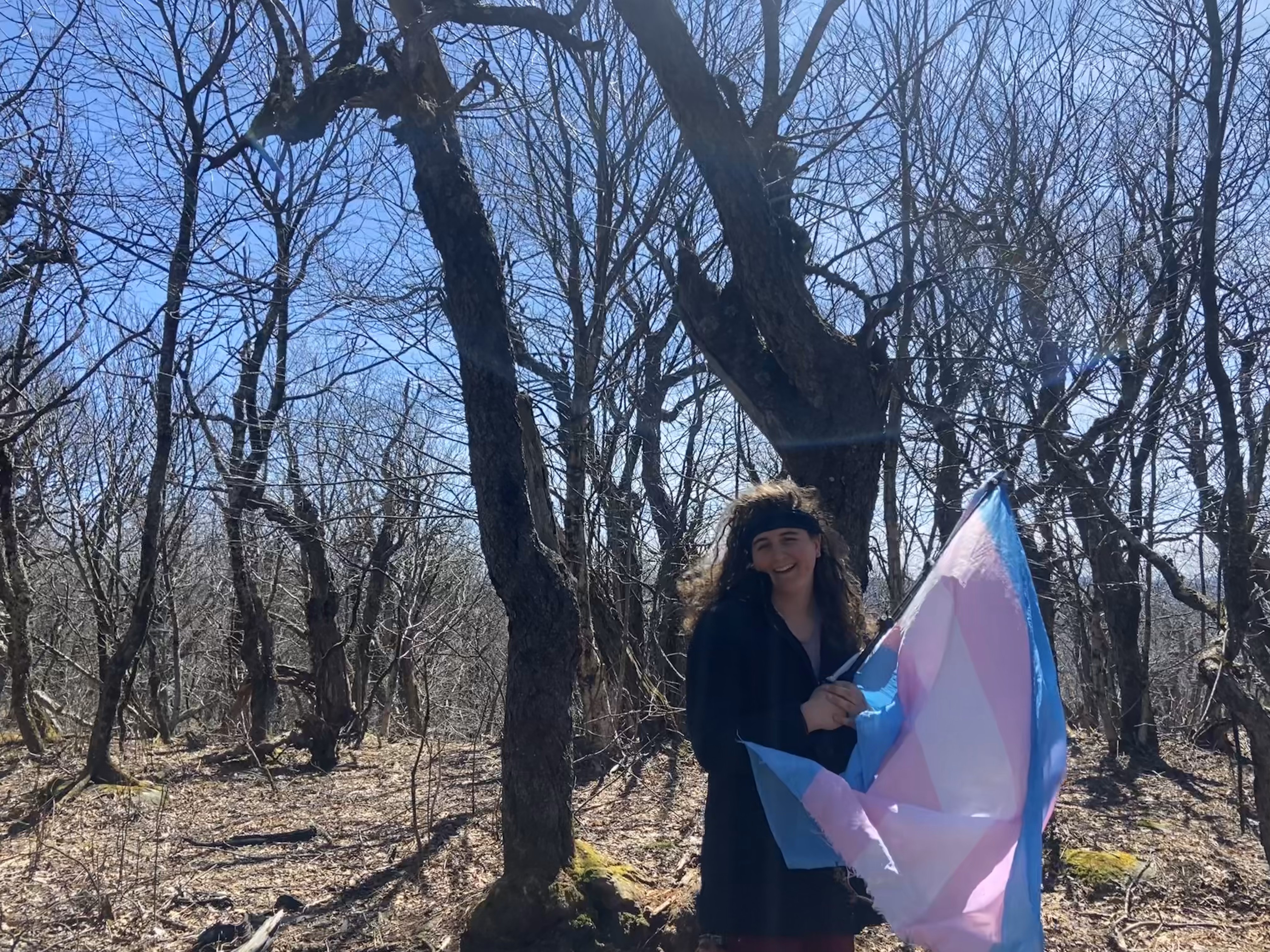
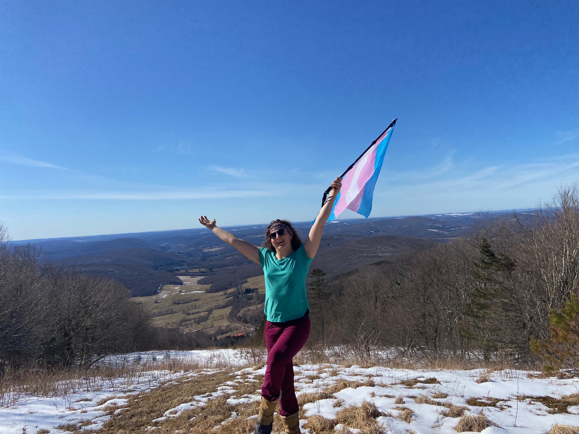
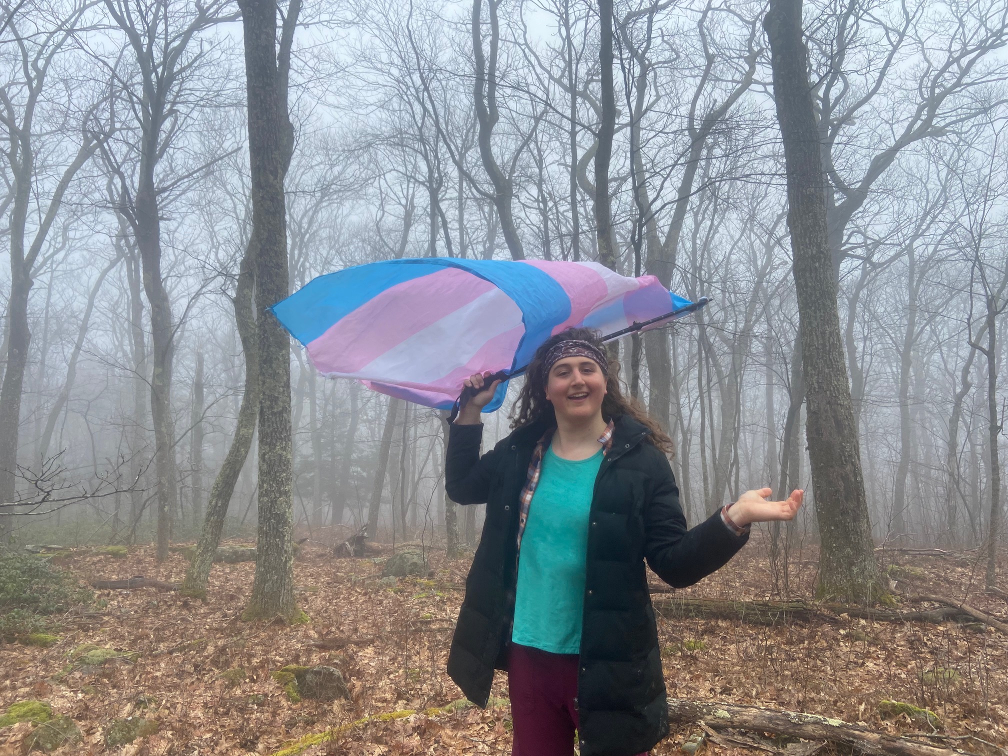
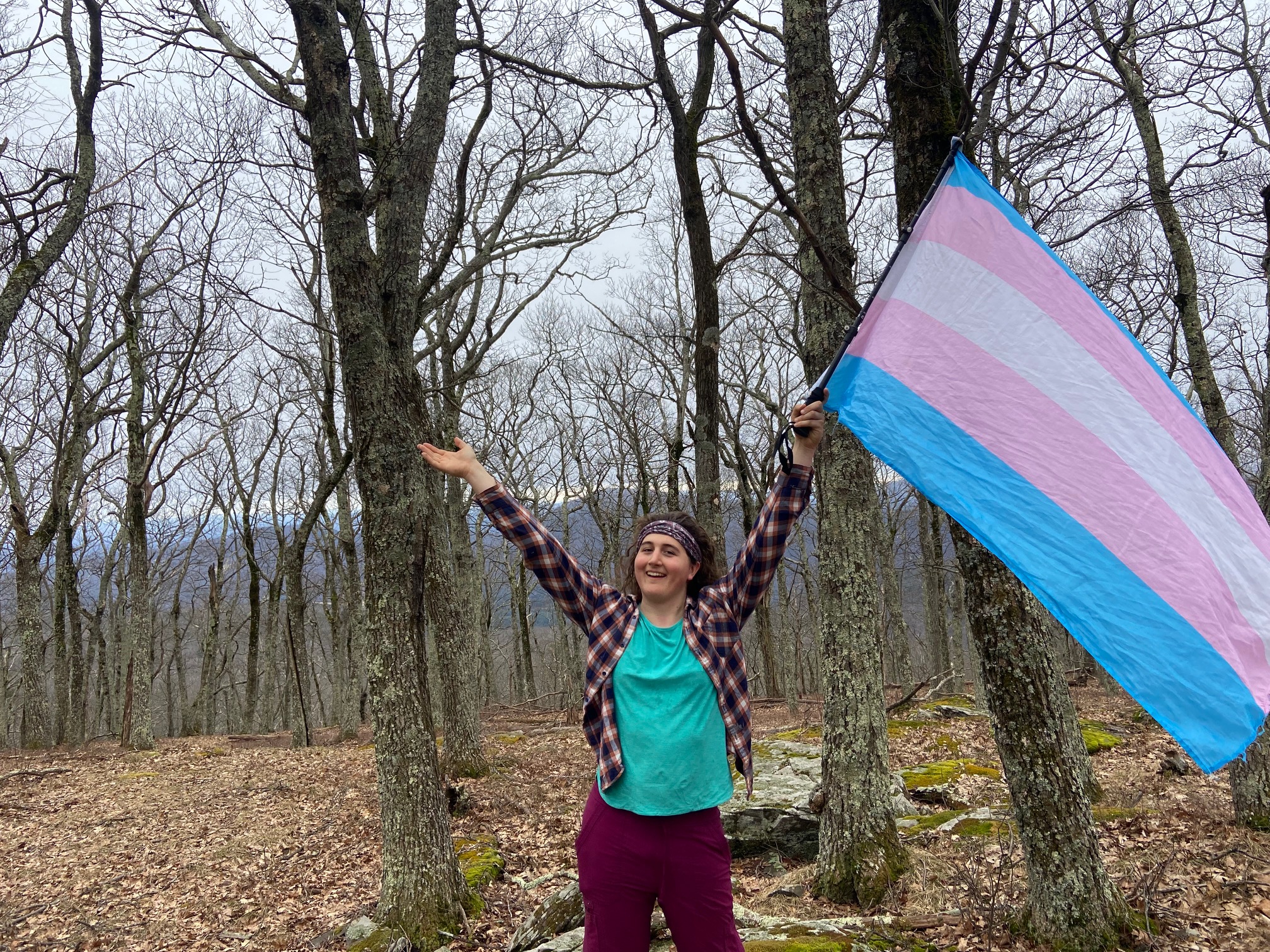
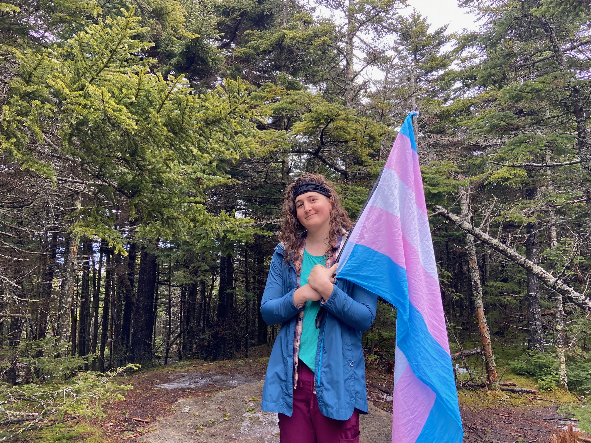
Kaaterskill was another mountain I tried doing last summer, and I only failed because of a lack of any food in my system - whoops. Anyhow, this time around I approached from the south, and since this peak is very well documented, I'll spare y'all the details. All I'll add is that the drainage on the snowmobile trail is abysmal to the point that it probably doesn't even serve it's function as a snowmobile trail that well, with all the water draining of Kaaterskill and Round Top sitting right on the trail - that's gotta cause accelerated snowmelt. Anyhow, conditions are currently quite icy on the northern approach, so I whacked along the ridge to get a more gradual way back to the snowmobile trail. A pretty hike with no views, but still. Also, fun fact, if you compare the photo of me here to the one of me on North Hancock, you'll find it to be a recreation that demonstrates the power of hrt :P
Sherrill and North Dome, March 29th
I find it funny how large of a trailhead there is for a pair of peaks with no officially maintained trail - although I'm not complaining, as the parking area off 42 provided one of the only viable overnight locations I found in the Catskills. The Adirondacks are, in this sense, much easier to deal with. Regardless, I started up and almost immediately got spat off the trail by following a deceptive path on the wrong side of the brook that the trail hugs up the initial ascent of Sherrill. After bushwhacking for about twenty minutes, I slowly made my way across and up the ravine, finding numerous old trailbeds that threw me off. Finally I did get up to the main heard path, and found it to be a delightful way up to Sherrill. Photos taken and on to North Dome, the approach to which was much snowier/icier than that to Sherrill, despite similar elevations/sun exposures. Regardless, I got to that summit, and then came back up and down to the trailhead. In total, the hike took me about six and a half hours, one of the longest hikes of this difficulty I've ever done. It's not that difficult, it's just a matter of being out of shape this early in the season leading me to getting my ass kicked. Regardless, I found the hike to be delightful this time of year
Bearpen and Vly, March 30th
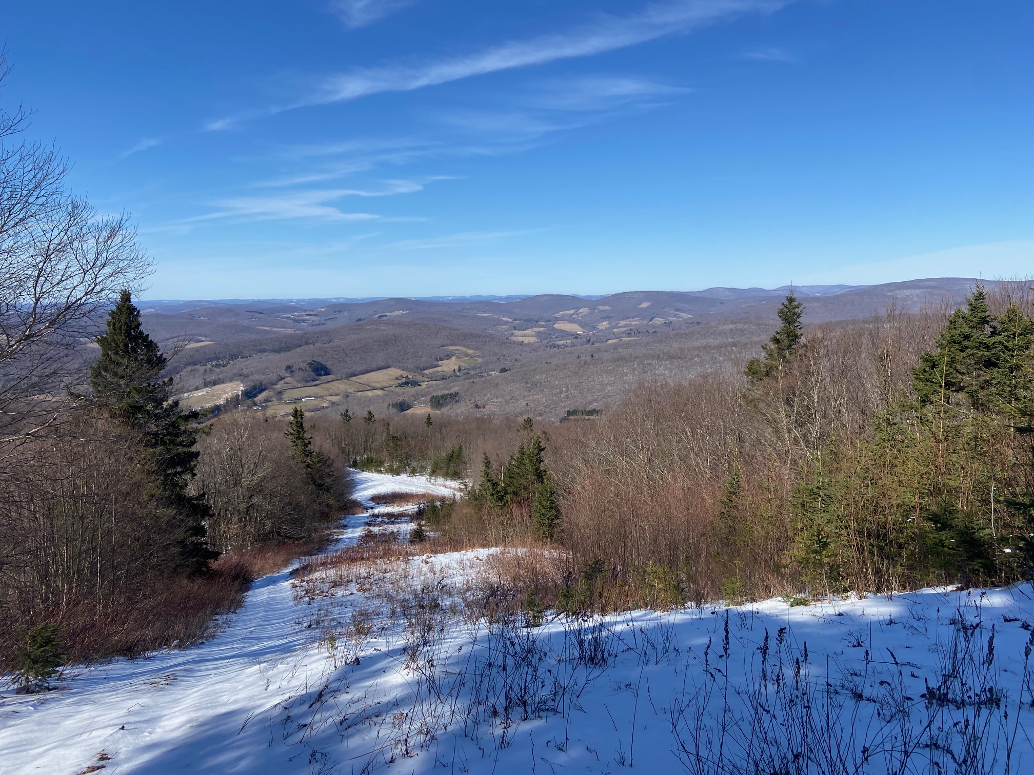
The road up to the col between Bearpen and Vly requires 4wd but not high clearance - there's no large rocks/divets in the trail, but it does get steep and the tread isn't always solid. The parking area on the southern side has room for about five cars, and I was able to get in early. Biking up was pretty solid, and I tried to follow one of the supposed snowmobile trails up Vly, only to find it wasn't taking me to the summit, despite what I saw on maps. So I tried to go up Bearpen, but found the trail rapidly deteriorating in quality and walked up from about 3000ft. Beautiful views up top. I almost considered not doing Vly due to needing to poop, but I soldiered up anyway, not wanting to have to return if I ever had to finish the 35s (I learned from my mistakes on Dorset and Gwenaden). Steeper, but doable. Got some photos at the summit and then biked down from the col. I was debating taking this trip to finish the 35s, and given that I would only need to spend five more days of hiking here, it most certainly could have been done. However, my two most likely paths out west later this year are a) up through Quebec, the Maritimes, and through Labrador over to Ontario and then Michigan or Minnesota, or b) down through the northern coastal states and then either the midwest or southeast. Neither of these paths go through the Adirondacks, but one of them goes near the Catskills. Thus, this trip was my last best chance to knock out another major list in the Adirondacks, while the Catskills could wait for longer. Perhaps I'll reflect negatively on this, like my decision not to stay in the Catskills for longer last July, but only time will tell