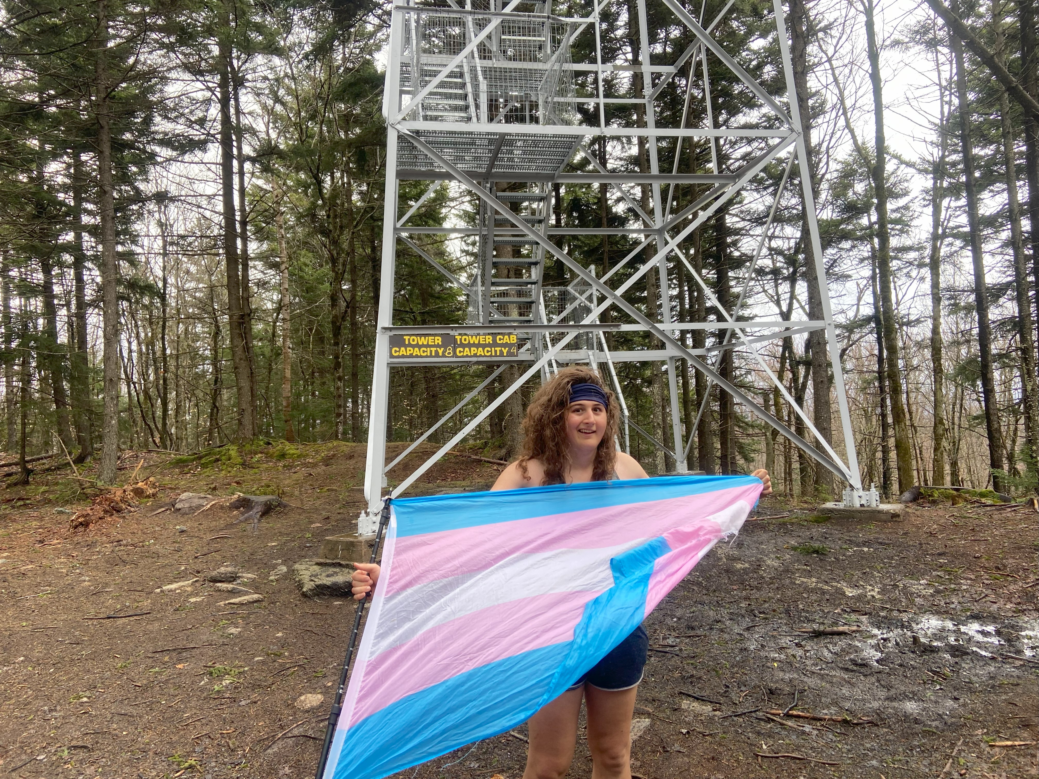
Western Adirondacks: April 6th-April 12th, 2024
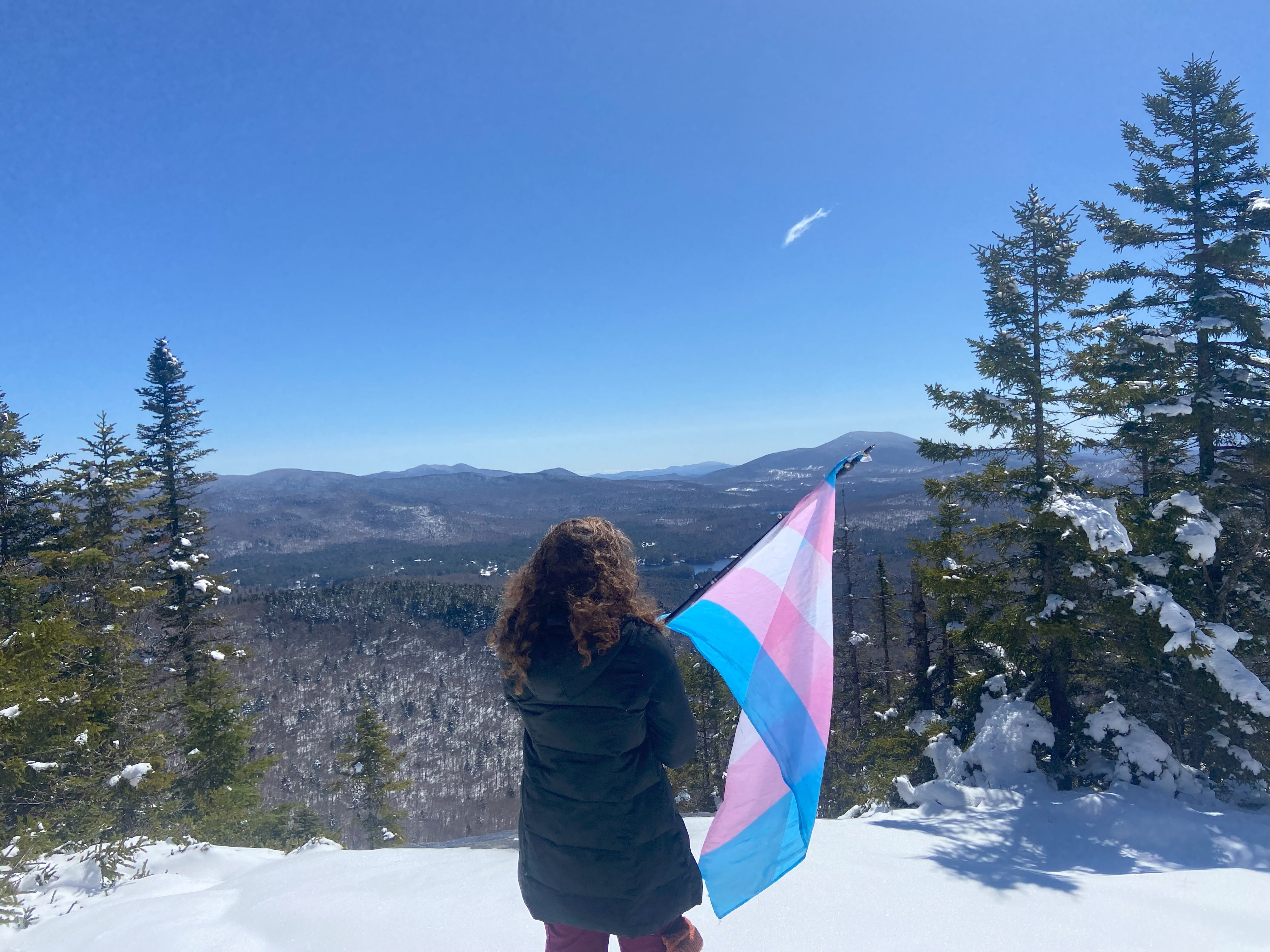
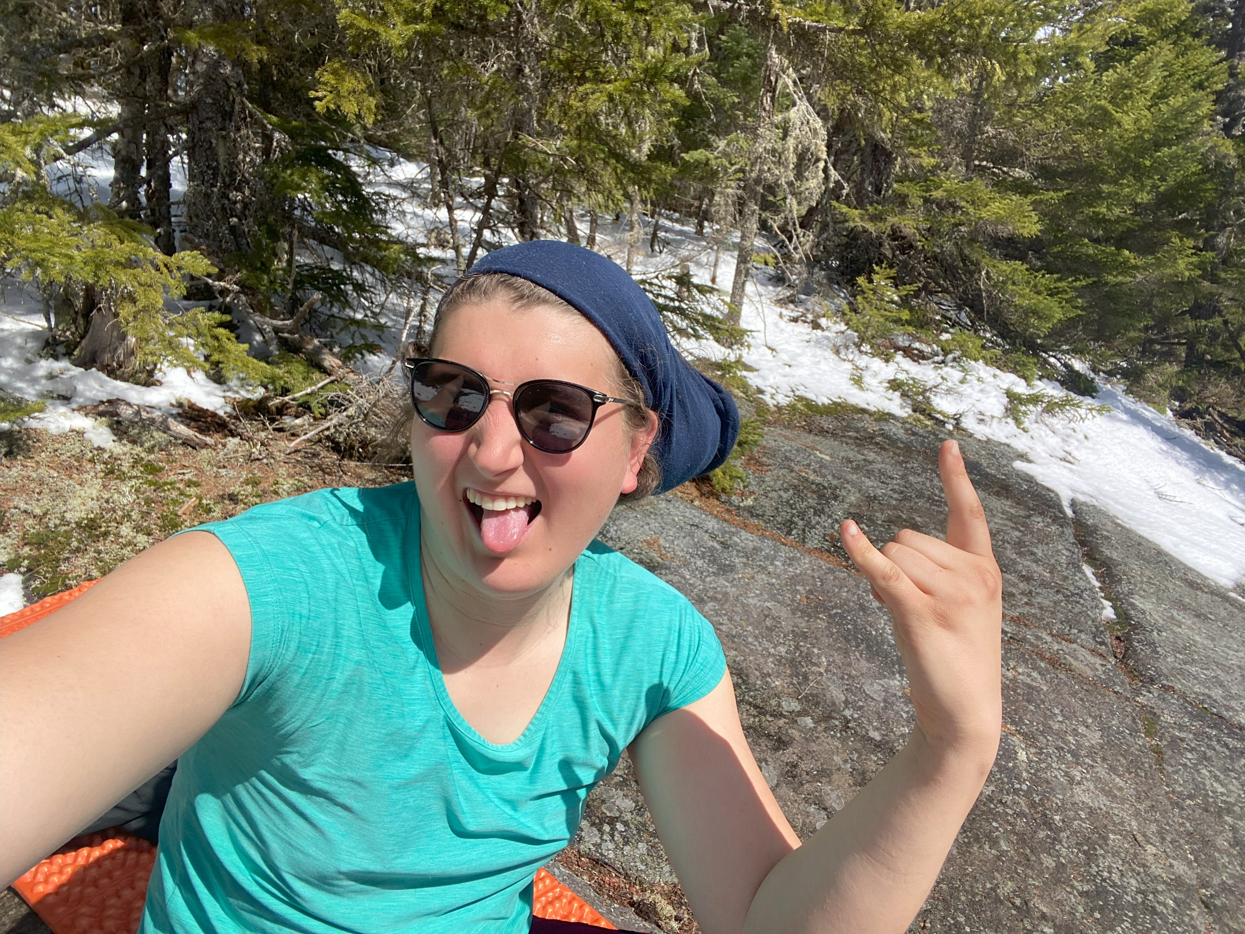
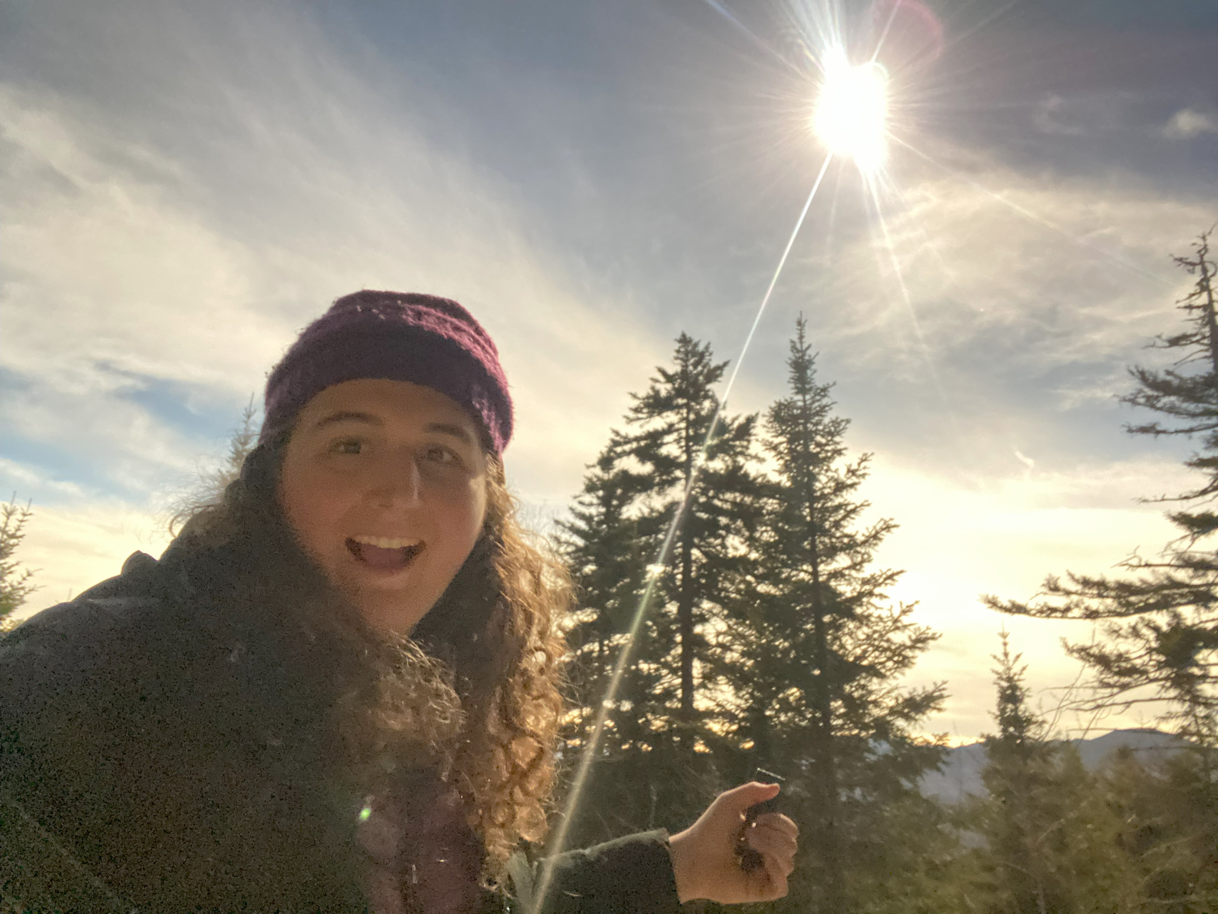
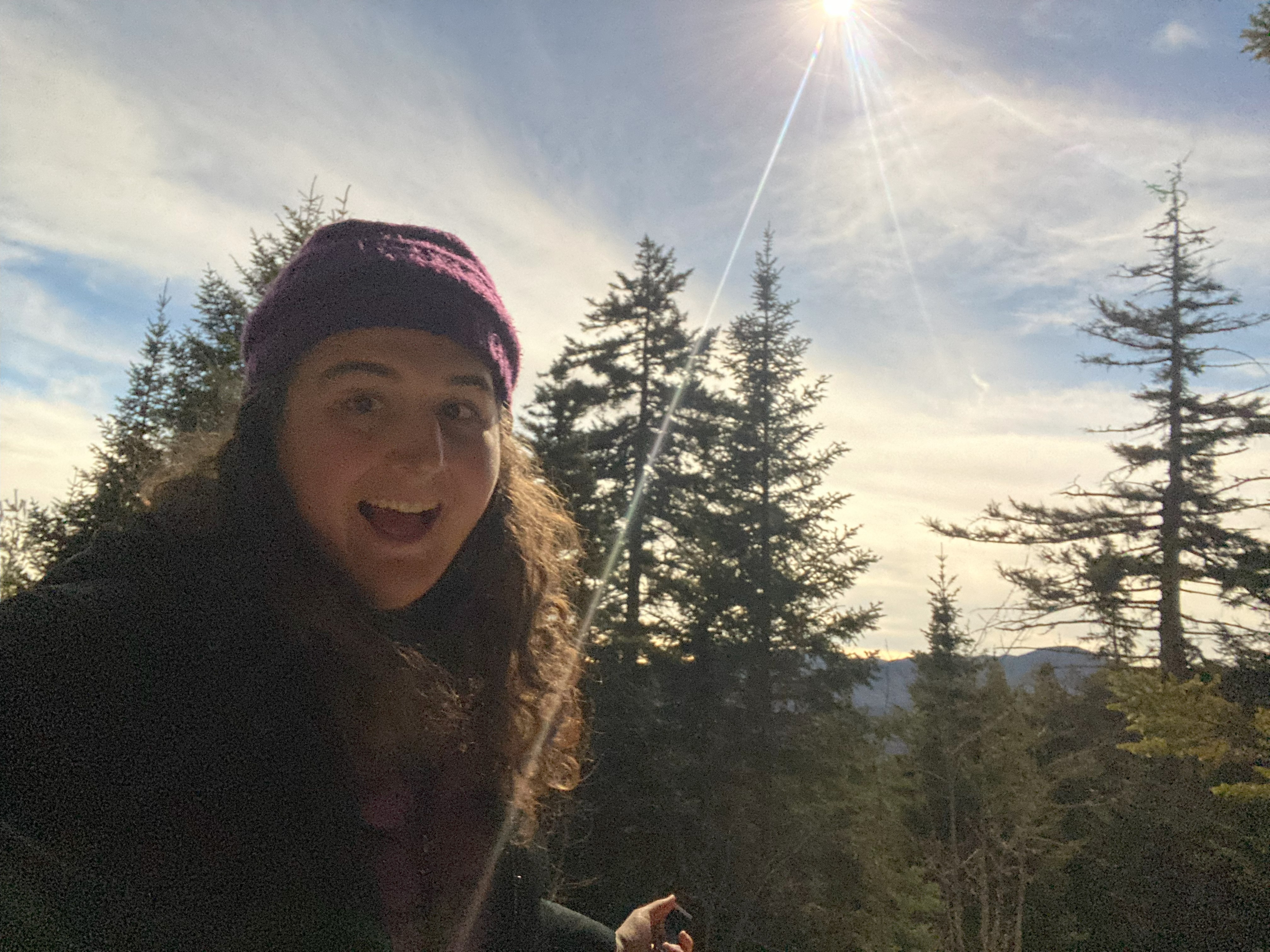
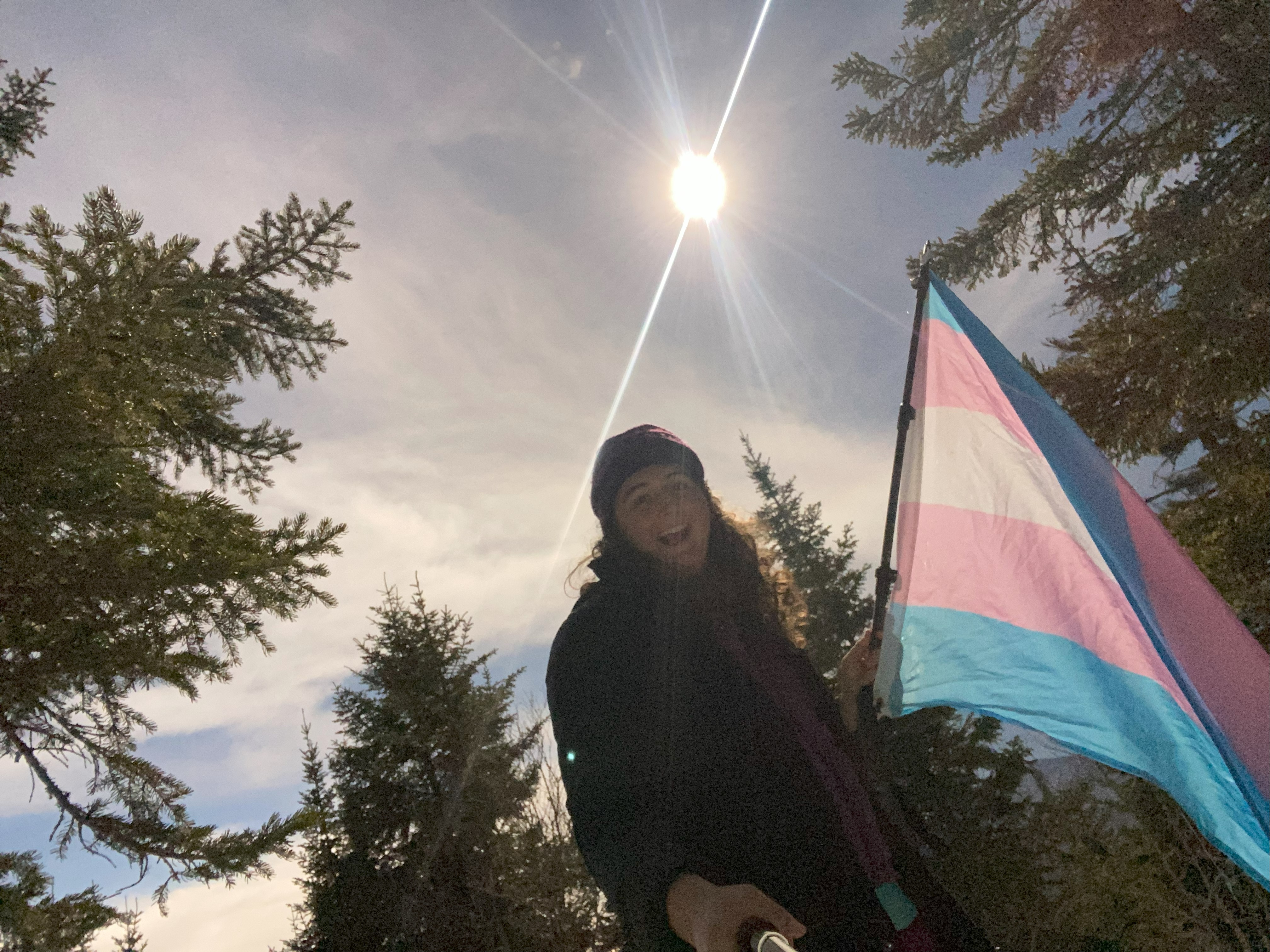
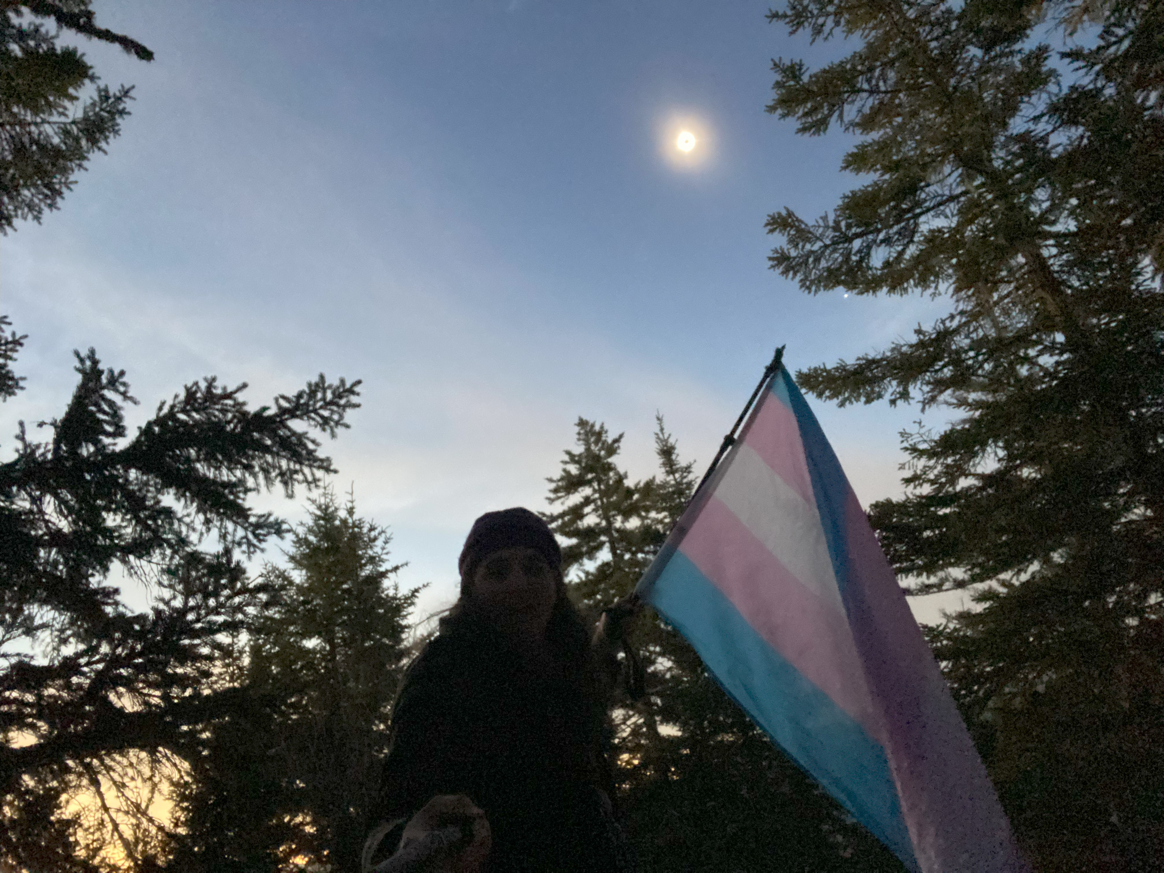
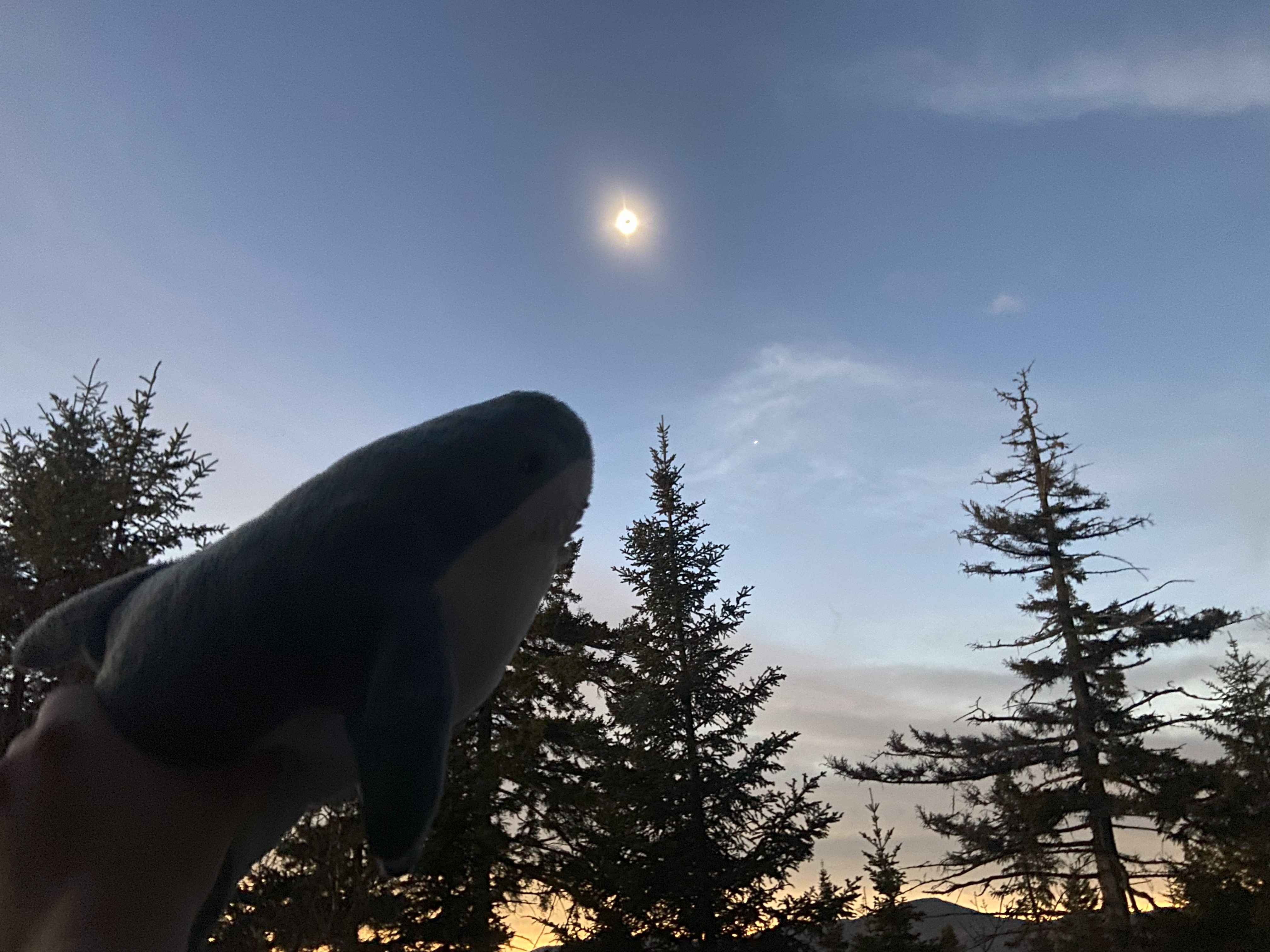
After three days of taking refuge in Keene and Lake Placid during the snowstorm, I decided to turn my sights to the western Adirondacks and knock out all of the fire towers around Long Lake, Newcomb, and Fulton respectively. I started out while the tail end of the storm was still going by going up Blue, as I was going crazy taking three days off in a row - more than I ever had on my last project. After this and Owls Head, I was able to go up Goodnow and get the coolest trans-pride flag mountain photo I've ever gotten: one during a total solar eclipse. The saturation of the photo wasn't great, and the angle was a little odd, but it'll be at least nine years before I get another shot at one of these if I do Osborne during the Arctic Eclipse - and I might, given how cool this shit is. I have no regrets about how this went down, even though I could have more-efficiently peakbagged - it was worth it. After this and banging out Adams, I went to the Fulton area and not only did the triad of fire towers out there, but also banged out the Fulton Chain Trifecta in the process, netting the third minor, official list I've done as part of my projects. Hitting Buck was the tail end of this, with the priority shifting to the eastern and central Adirondacks for the next week or so
Blue Mountain, April 6th
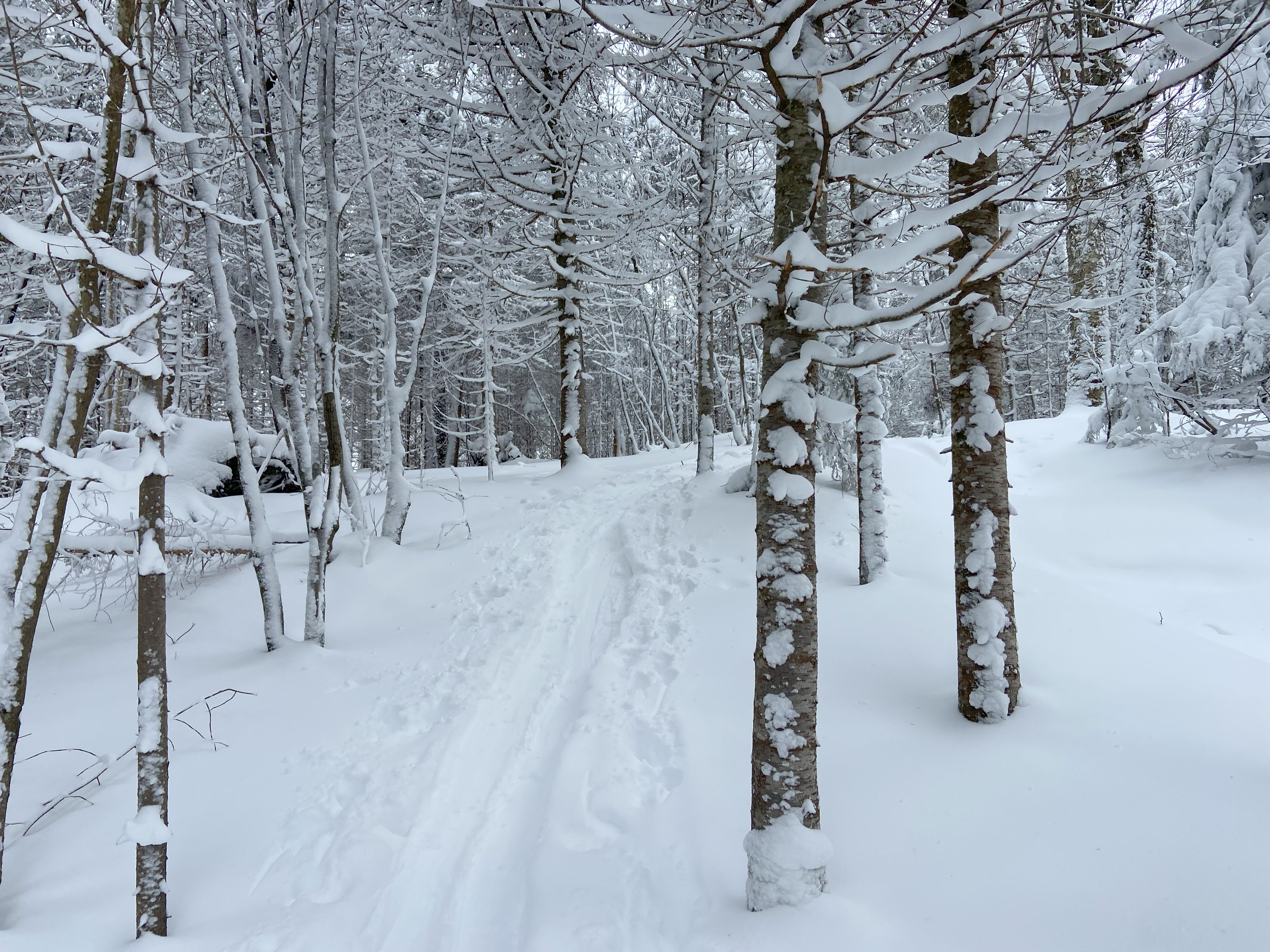
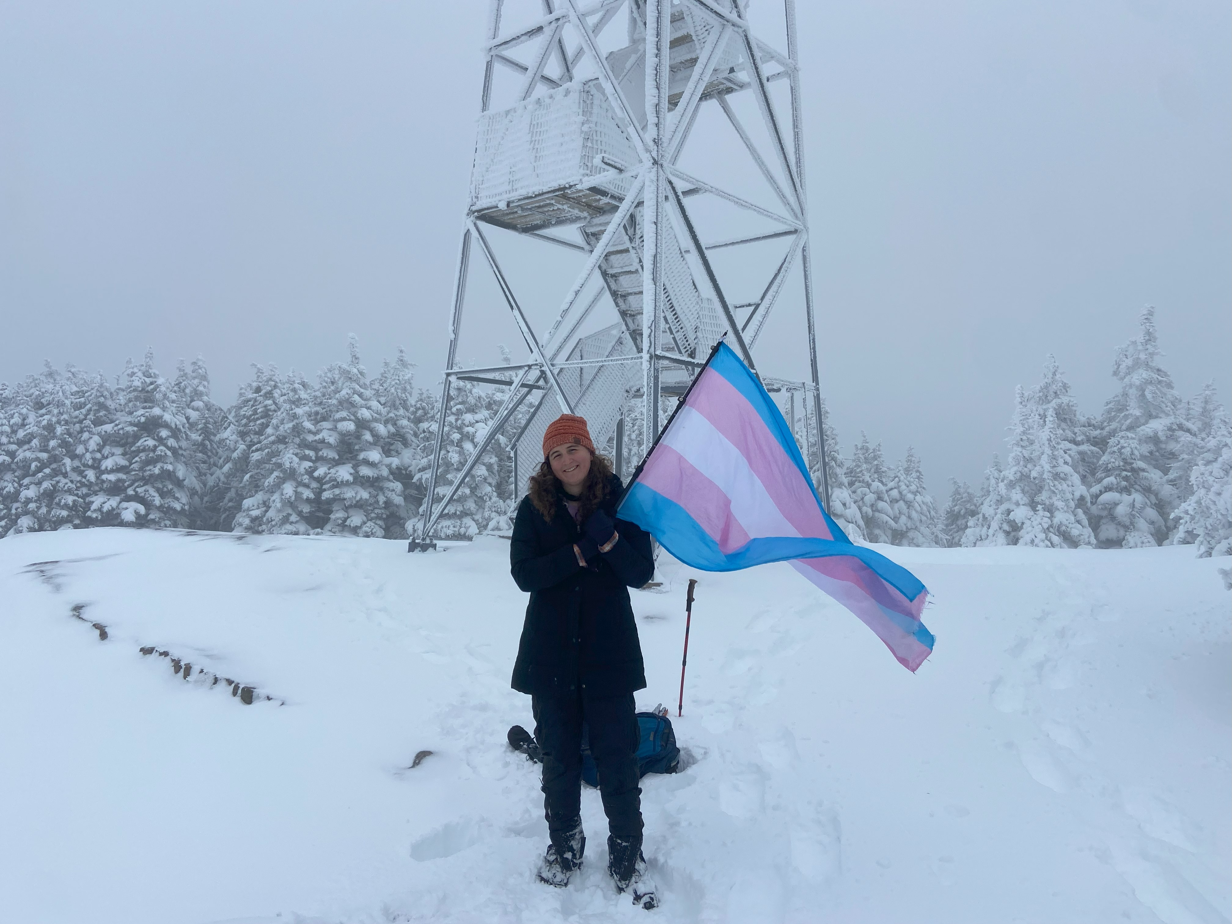
After redeploying from Lake Placid on the afternoon of the 5th, I tried to find a trailhead around Blue that would be safe for the night, with the snowfall expected to continue. I couldn't find one, and I figured that I would rather take the risk of an encounter with law enforcement than risk being stuck for a day in the snow. So I parked right on the side of the highway during a snowstorm, and despite a number of cars and plows coming by, I ended up alright - my theory is whatever state troopers went by that night took pity on me. Regardless, I started up Blue right after a pair of snowshoers and a quartet of skiers. Good powder at the start devolved into much thicker snow by the descent, and in either case, being the first person to pack out the trail for bareboots, it was a challenging ordeal for me. But, I got to the summit and got not a smidge of a view. Oh well, I got back down and went over to Long Lake for the afternoon
Owls Head, April 7th
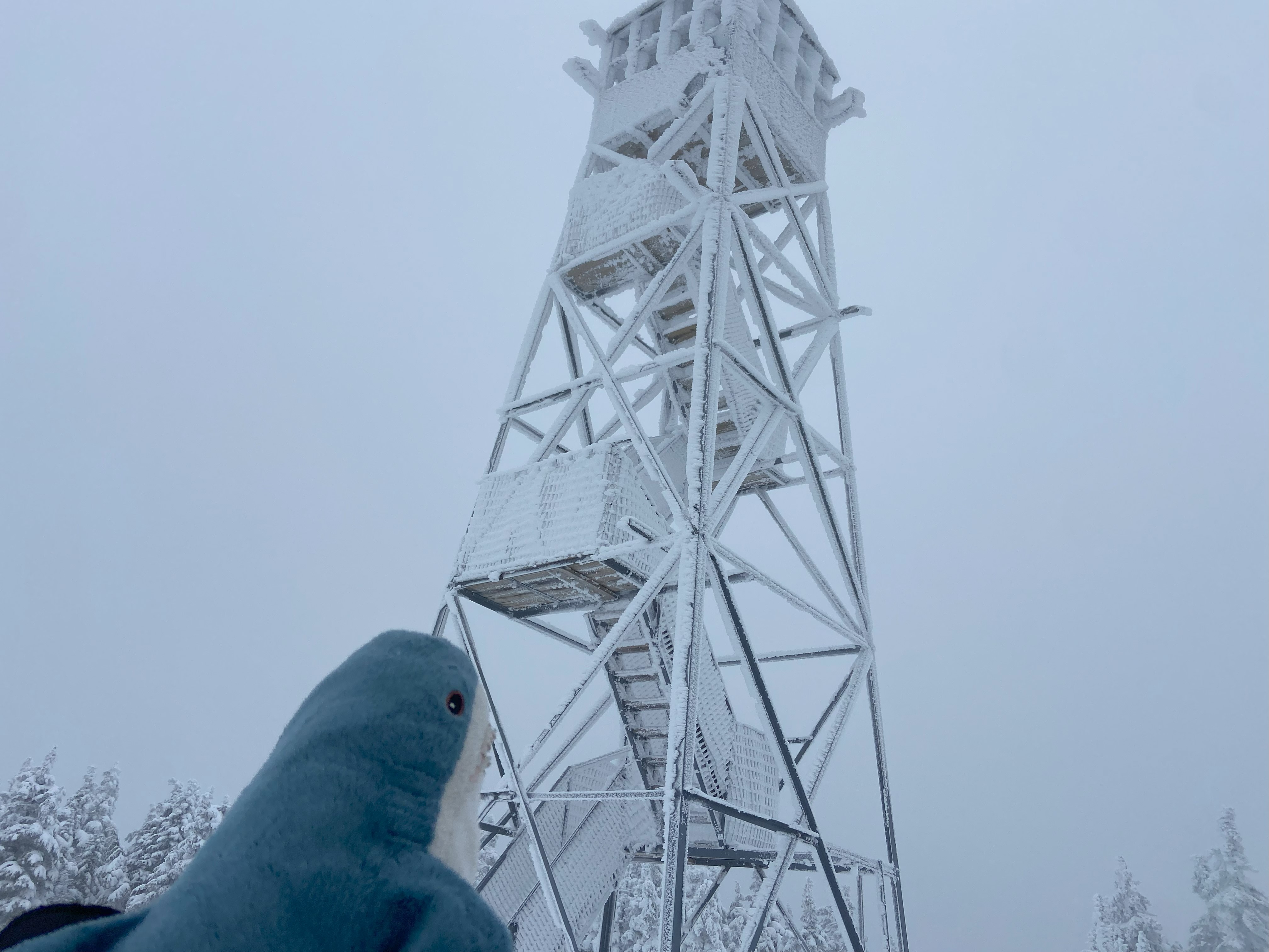
For Owls Head, the trailhead is pretty good for overnighting at - at least in comparison to Blue. After a much more relaxing night, I started up the trail and, while I appreciated the pack-out-ness of the trail, the slush was very thick and good footing was hard to come by. Regardless, the view from the top was fantastic, with a clear line of sight to Blue, Kempshall, and several other minor peaks in the area! The way down was uneventful, and I once again crashed in Loon Lake for the afternoon, noting the increase in people from the day before
Goodnow Mountain, April 8th
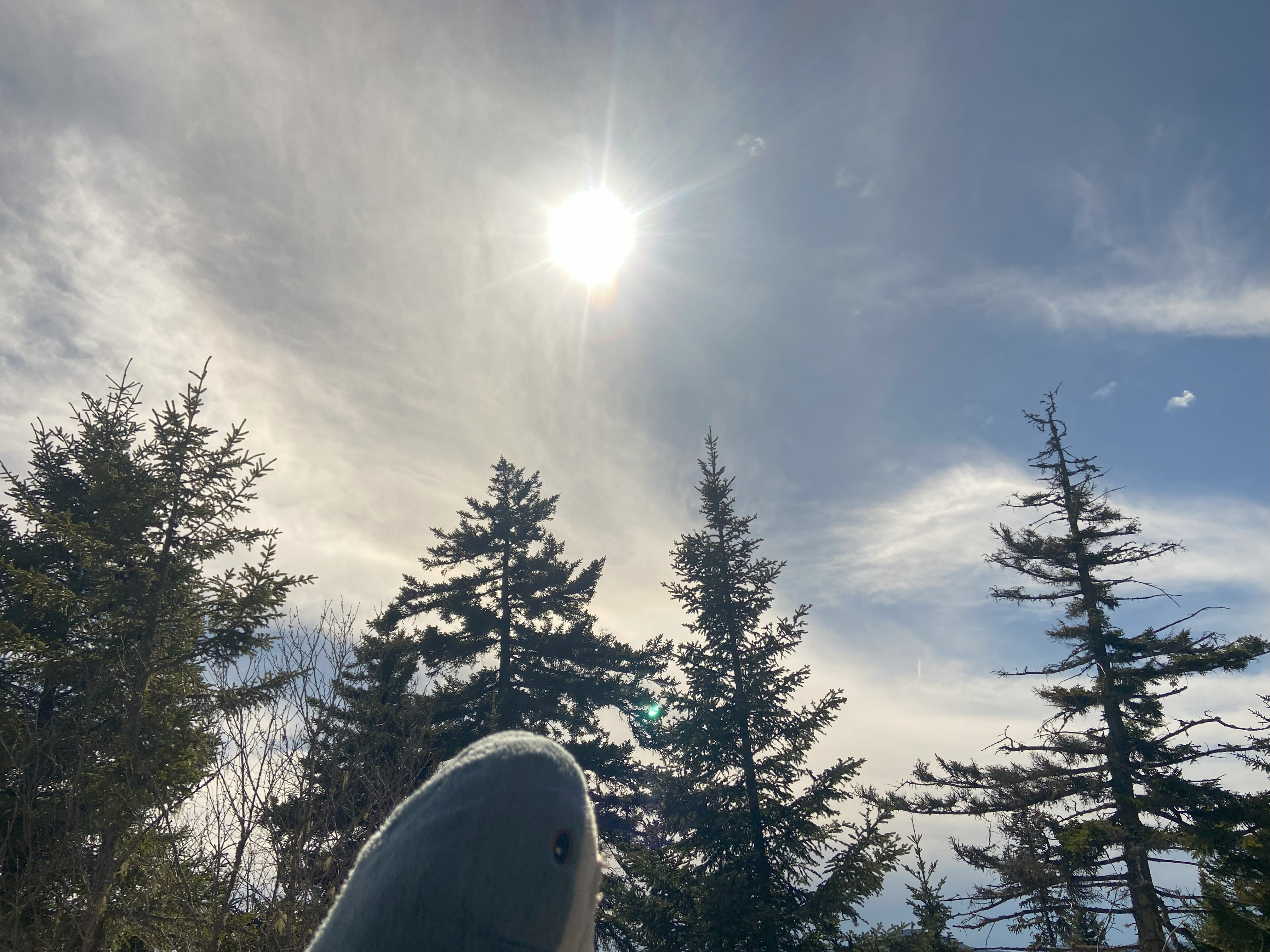
I read something recently that stated that, on average, a total solar eclipse occurs for a given area about once every 400 years. I don't know if that's true or not, but it does lead me to wonder: in what context will this eclipse where I am now be placed when the next one happens? 400 years ago these lands were Haundenosaunee, and while the Haundenosaunee remain here despite efforts by the settler-colonial regime to wipe them off the land, those efforts have fundamentally transformed the area into a state entirely out of step with the rest of the history of the Adirondacks. For dozens of eclipses prior, a way of life existed here that had its own rich traditions, continuities, and relationships with the land - some of which we are aware and some of which have been lost to time. I wonder how many people here throughout the centuries experienced an eclipse and found the same beauty and awe in the spectacle that I do today. I wonder how many of those people took comfort in knowing that, in the future, their descendants would get to experience that same beauty and awe. I wonder how those people would feel if they knew what would happen to their land and their descendants - if they knew that they would never get the same experience as they did. I wonder things like these a lot. I wonder what will be of the land and the Haudenosaunee for the next eclipse here. I wonder if the nightmare that is the settler-colonial regime of the United States will have gone the way of Rhodesia or Apartheid South Africa. I wonder if this will be rightfully restored Haudenosaunee land. I wonder if the horror that has preceded this eclipse in this area was a blip on the historical radar, or if we are headed into an even darker future. I wonder, because I cannot know. Not just because of the fact that I can't know the future, but also because, as a white person, I can never understand the gravity of this disposession, nor grasp the depths of this injustice - nor will I pretend to. But if my imagination is worth anything, I'd say it was - and is - one of the greatest crimes I'm aware of.
I was awake most of last night thinking about this and other things. I often wonder if what I do - take a trans pride flag up mountains - is even an appropriate thing to do. I constantly have to tell people who respond online to my project not to use terms like "conquering" or "claiming" to describe what I do - and it feels sometimes like I'm fighting the weight of decades of colonial mountaineering on my own. There's a more modern tradition of climbing and displaying flags at summits that I seek to promote, as I feel like an authentic expression of personal identity and accomplishment will always be a better framework in which to act than a vain declaration of ethnic conquest and triumph. And although I, and many other climbers, seek to promote that new framework - the old one remains entrenched in peoples minds. Doing what I do, am I reenforcing that old framework every time I don't emphasize the new one? Every time someone sees what I do and doesn't explicity say "conquering" or "claiming", do they just walk away thinking that's what I intended? Am I continuing to do harm when people think that? Fuck, should I even be here at all? Is it even appropriate at all to recreate on land taken in genocide? Is it even appropriate at all to recreate when that genocide is continuing? Should I even be writing this paragraph talking about my own white guilt when there are far more important things to be said on this matter, when there are far more indigenous voices and opinions to be listened to before my own? Should I just shut the fuck up? I honestly don't know, and I fear that my willingness to go ahead and do these things when I don't have answers to these questions speaks to some deep moral inadequacy on my part - and I also know that thinking like that is directly detrimental to the goals of Indigenous rights in this county. Indigenous people don't need white people crying about how guilty they feel, they need white people supporting the fight for an end to the genocide and the restoration of that autonomy and agency that was stolen. Yet here I am, not on the picket line or sabotaging a pipeline, but gleefully recreating on their stolen land - only speaking out to people I know irl and writing on my silly little blog.
I'm aware that no one person can fight every injustice, and that if you focus yourself on more than one or two causes, you end up stretching yourself too thin to be of any use. But I'm also aware that what causes we choose to fight for and how says a lot about ourselves - and sometimes I wonder if I chose wrong by picking "trans visibility in the outdoors". I'm gonna keep doing what I do, because I've had enough people over the years tell me how valuable they find if - even if on a very small and personal level. And because, I really enjoy it. If I wasn't taking a flag up these mountains, I would still be climbing them just the same, and I figure that adding a little sprinkling of positivity on top makes it more worth while. Ultimately it's up to you to judge what you think of me and what I do, and if your disapproval is for almost anything outside of transphobia, I'll understand and probably agree in a certain sense. The mind is a complex thing, and I'm still figuring out my own.
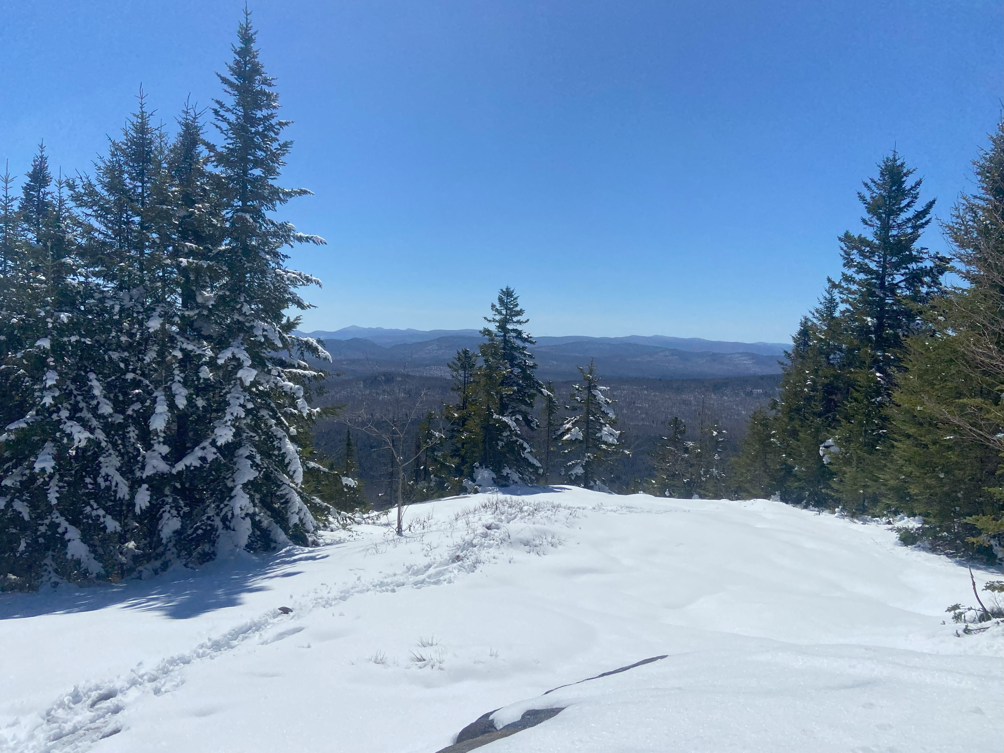
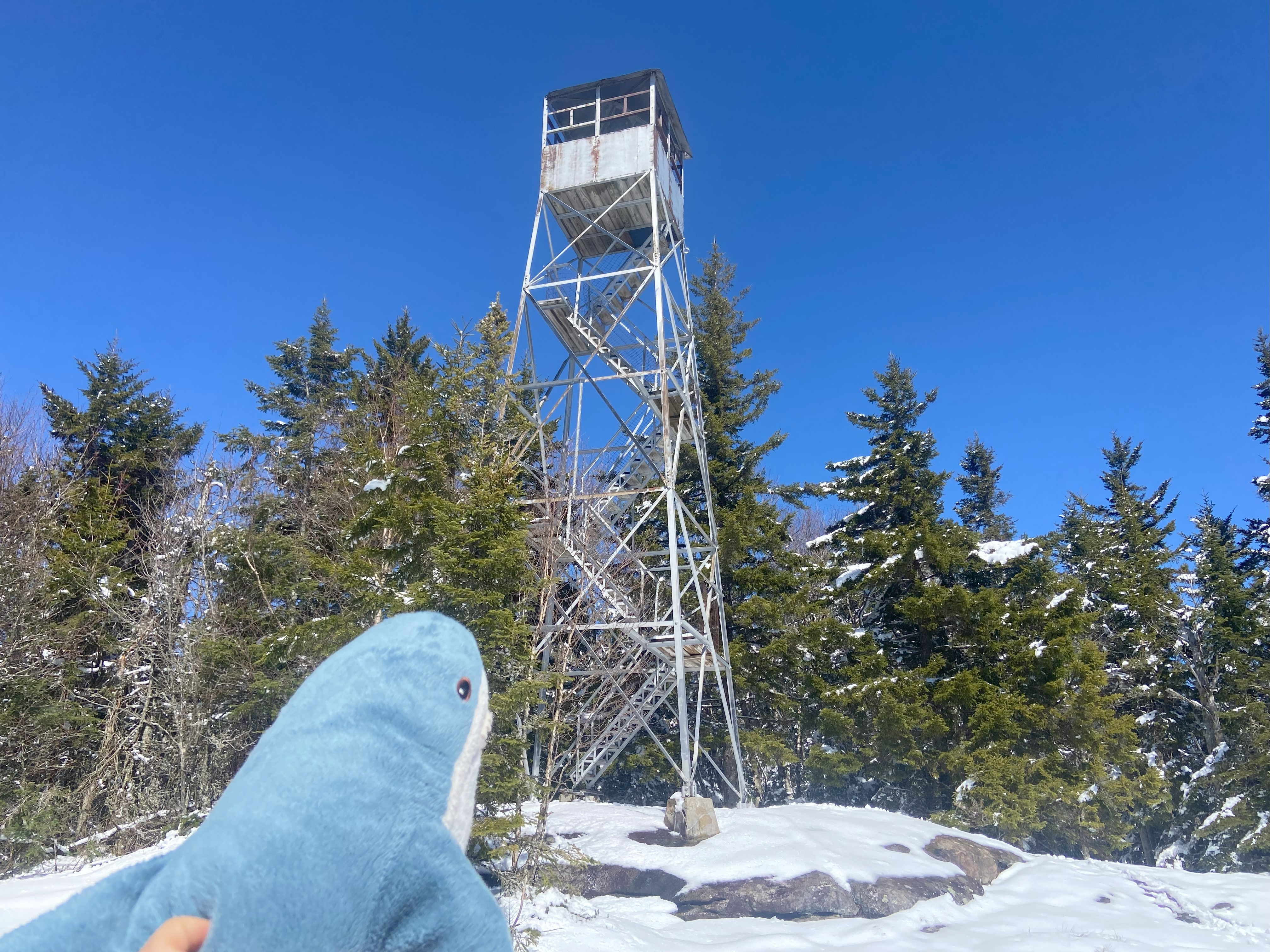
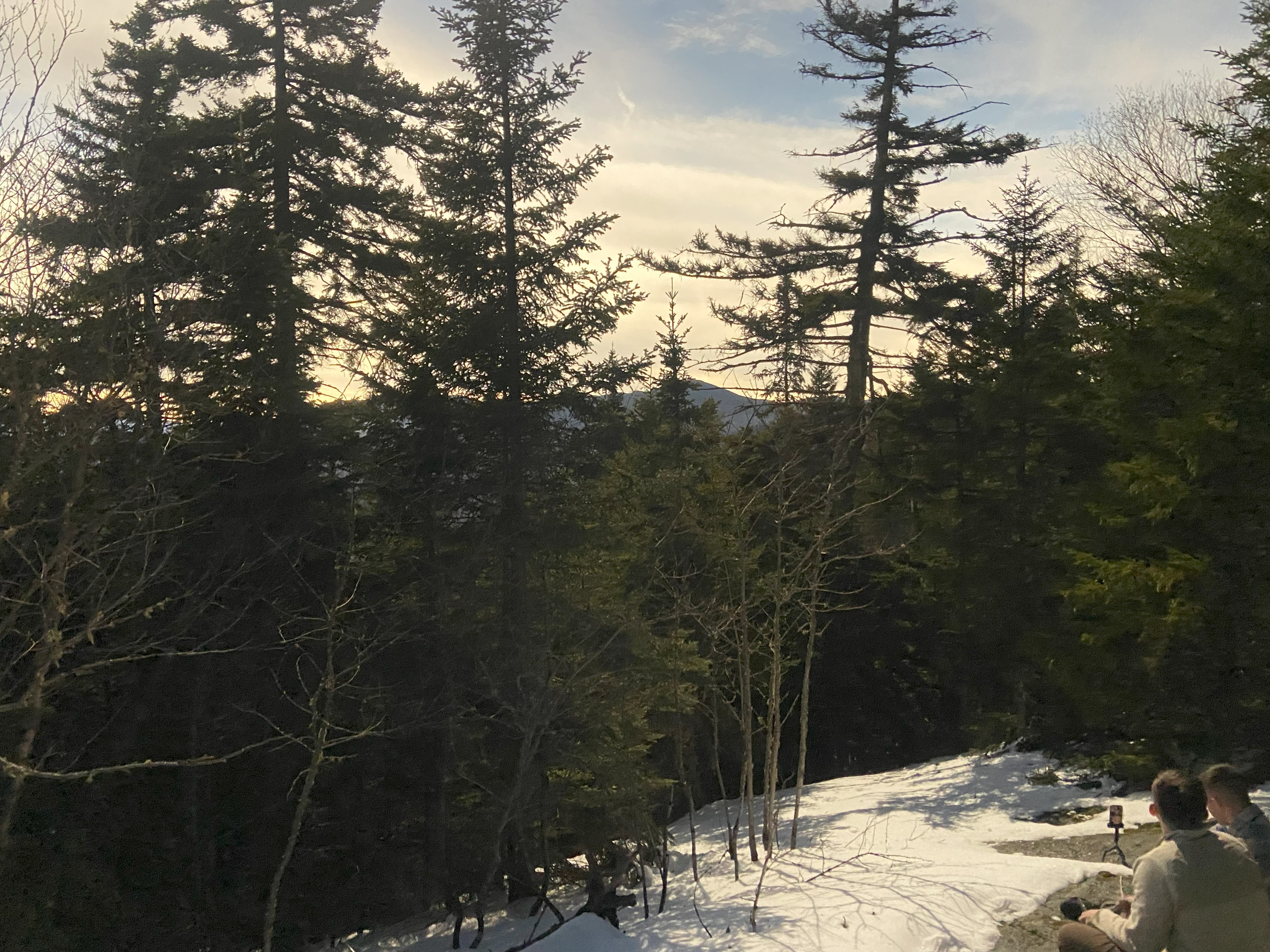
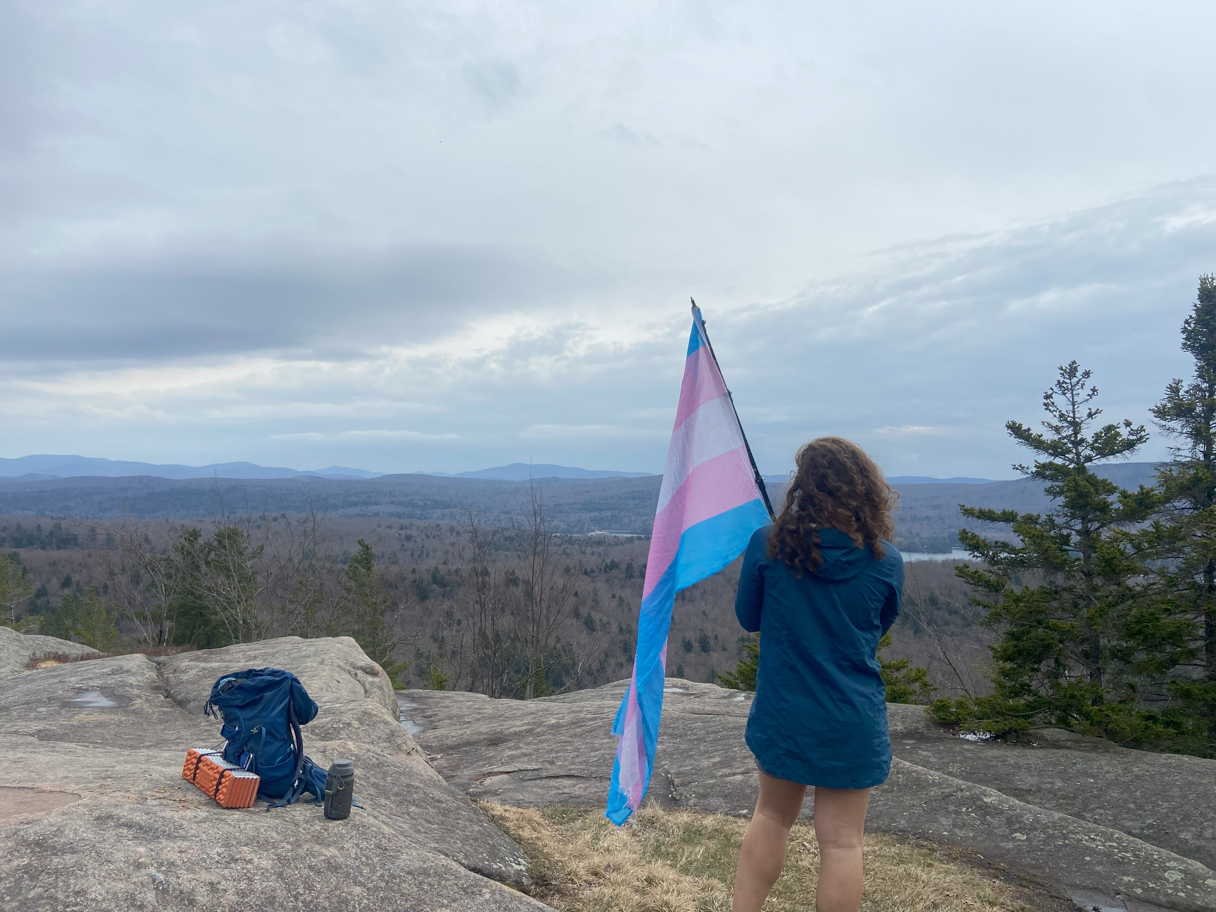
As for the events of today, I tried to camp out at the Goodnow Trailhead last night, and got told by a guy at 10:30 that I wasn't allowed to since it's private property. To his credit, he gave me directions for somewhere to camp, and I was able to sleep alright on land for the Santinoni State Forest. I got back to the parking lot at around 7:00, and lingered there until around 11:30 as more and more people showed up ready to hike for the day. When I got up to the summit, I found it to be a relatively good place to see the eclipse, but there were far too many people. Upon suggestion of a friendly guy who gave me a pair of eclipse glasses, I went to a rocky outcropping about a quarter mile from the summit along the ridge. It was here where I got my photo, as I judged that an unobstructed flag photo during the eclipse would be more valuable than one with the fire tower in/near frame. After hanging out sunbathing for an hour, I noticed it had gotten colder and the eclipse was already halfway through! Right before totality, about ten people joined me on the outcropping, but they were friendly and I didn't mind it. I eventually got my photos and was not disappointed. For sure, with more planning and space I could have gotten some better photos - to say nothing of having a photographer and/or better equipment, but for a selfie on a mountaintop with only two and a half minutes to get it right, I don't think I did too bad of a job. This was the third eclipse in my life and my first totality as a woman, and I was not disappointed by the experience :)
Adams Mountain, April 9th
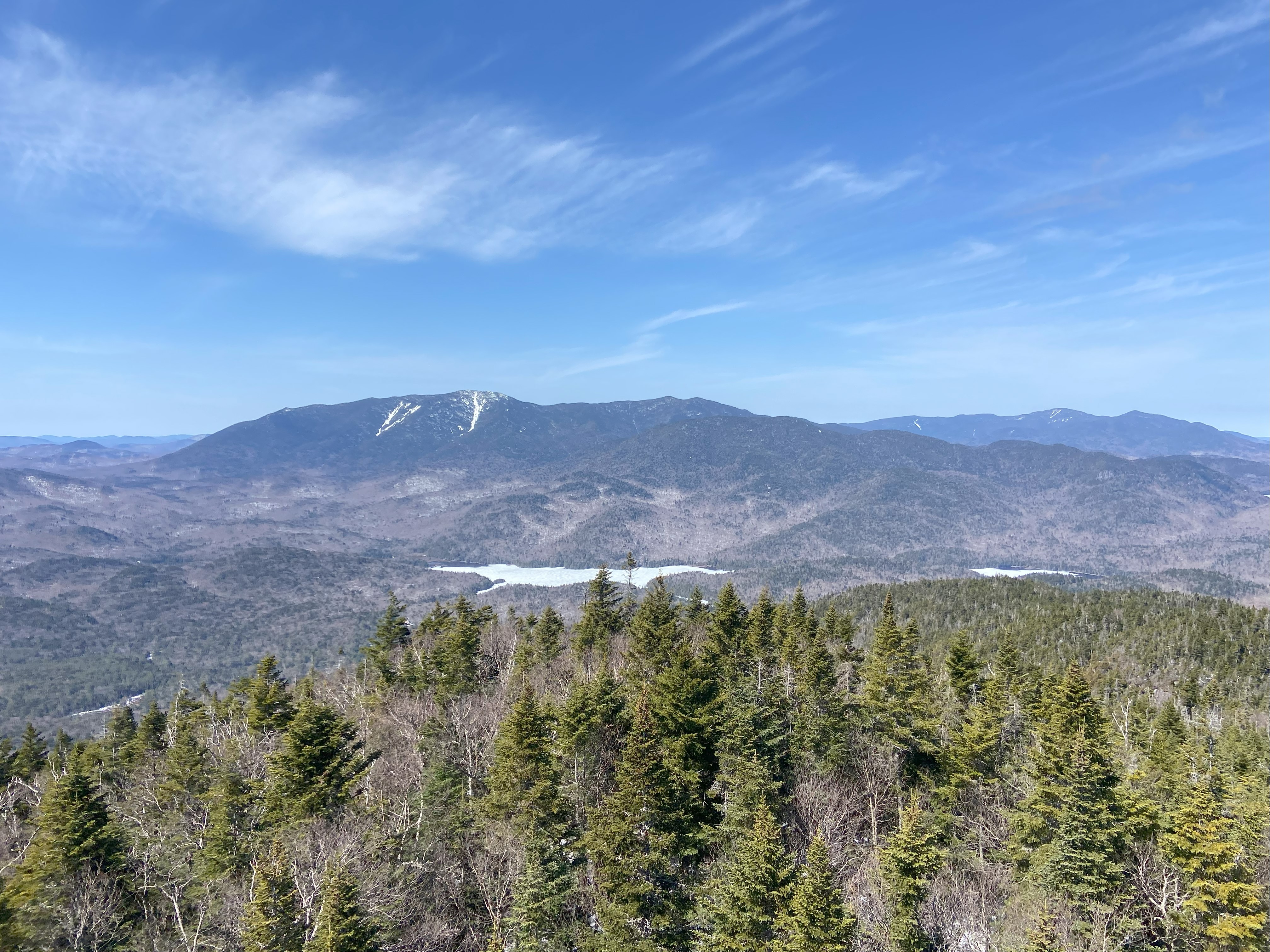
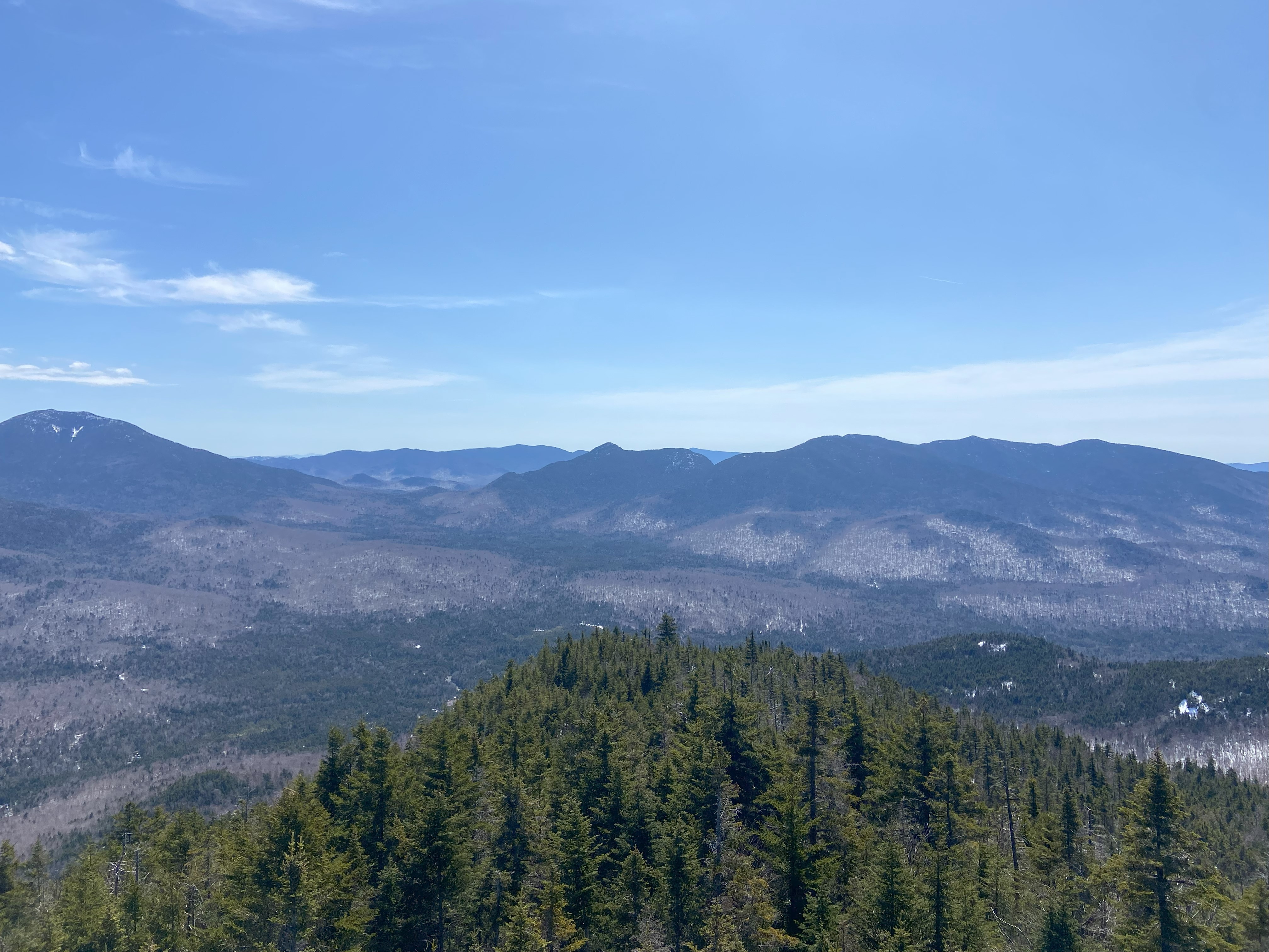
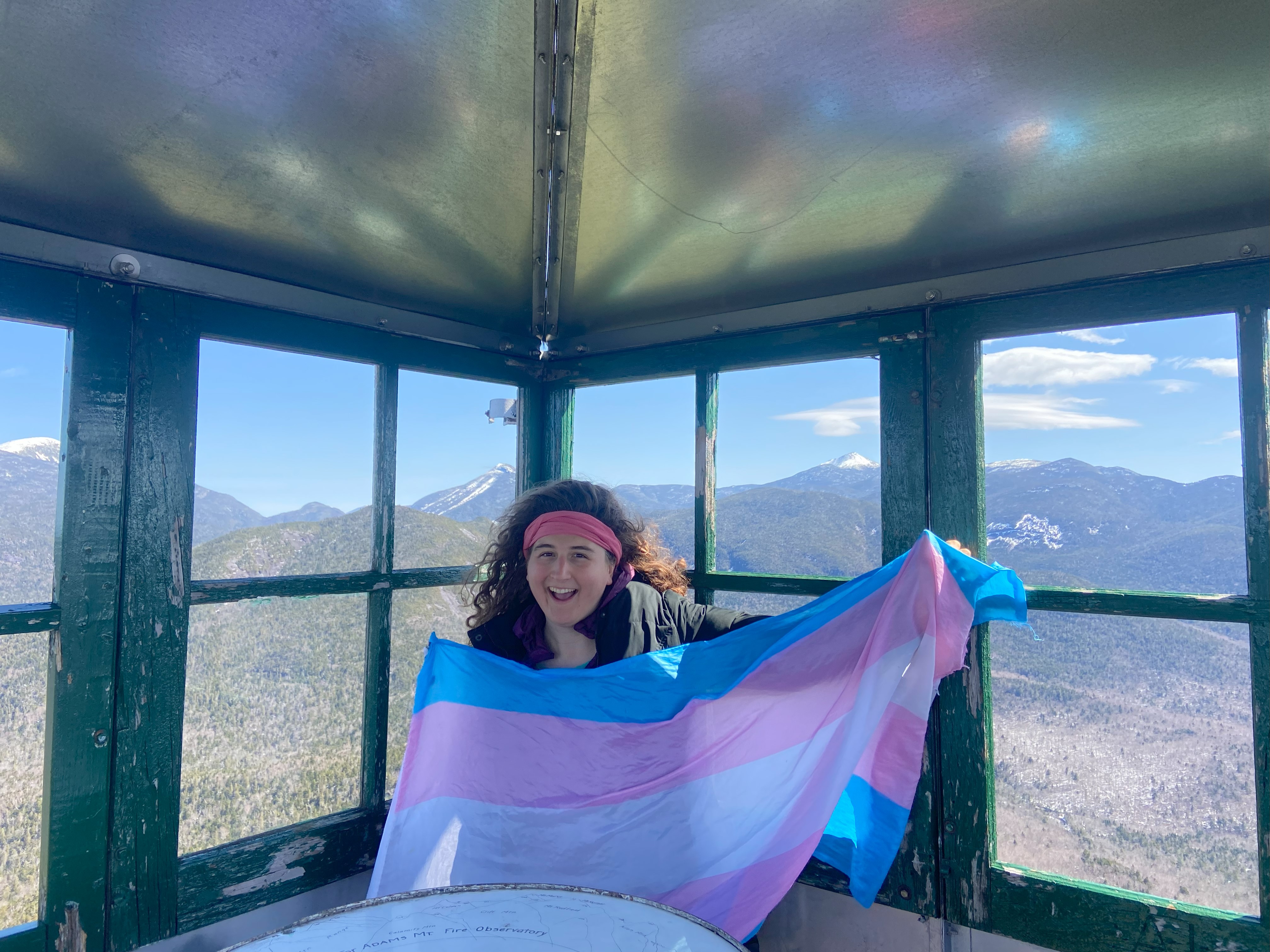
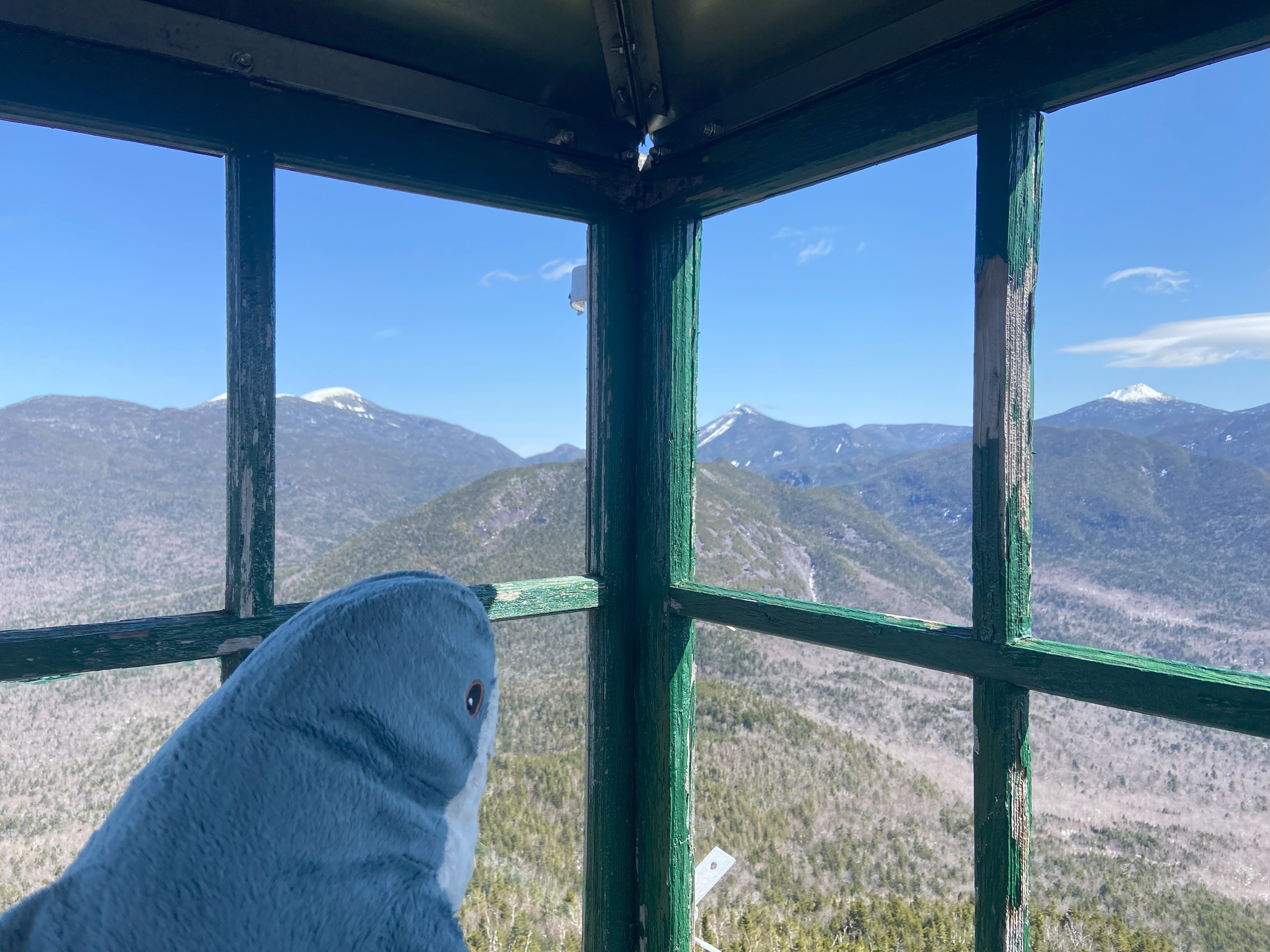
I was excited to do Adams, as I hadn't been hiking in the high peaks in over a year and a half, and because I had repeatedly seen this fire tower from both Panther and Allen, and I wanted to give it a shot. I found it surprising that almost all of the pavement past the first bridge on Tahawus Rd has been taken out and replaced with a dirt road. I truly can't imagine why this was done, as the road couldn't have possibly deteriorated so substantially in a year (because they likely would have had to have teared it up last fall). Honestly I was dumbfounded, but at least the dirt road in it's place wasn't horrible. I camped at the Adams trailhead and started out. There was still a fair amount of snow round these parts, and hard ice in the morning gave way to structureless slush later on. And the trail? Classic high peaks trail: very steep, very craggy, and very poorly maintained. But hey? It's the high peaks. I've done the 46 enough times to know what to expect here. Once I got to the summit, I climbed the fire tower and was greeted with the best views I've had all year. You could see seventeen of the high peaks, along with at least eight fire tower peaks in the distance, plus several other prominent mountains. Absolutely spectacular, and if it weren't for the eclipse hike the day before, this alone would make it one of the best hikes I'd done all season. No regrets :)
Stillwater Mountain, April 10th
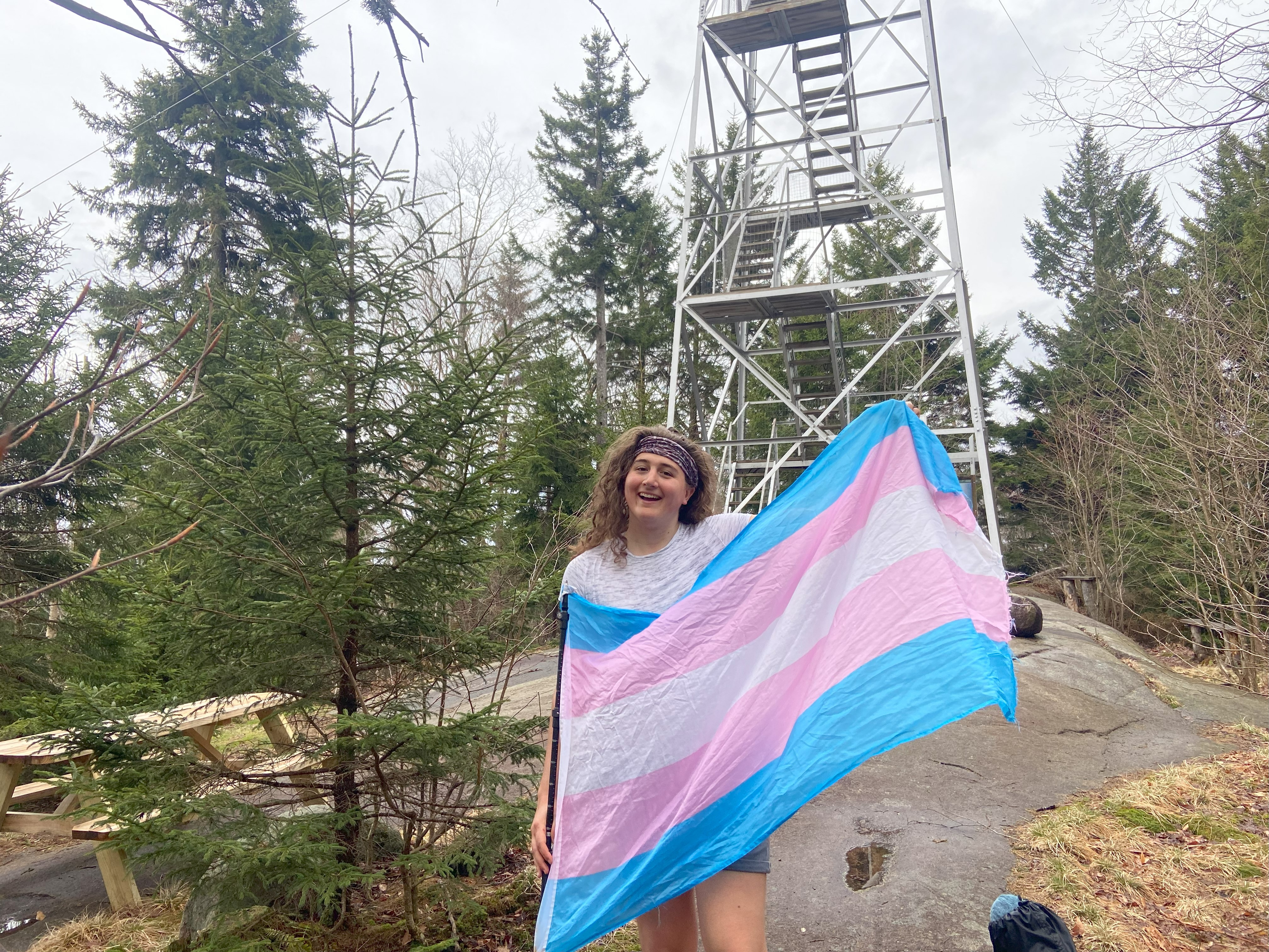
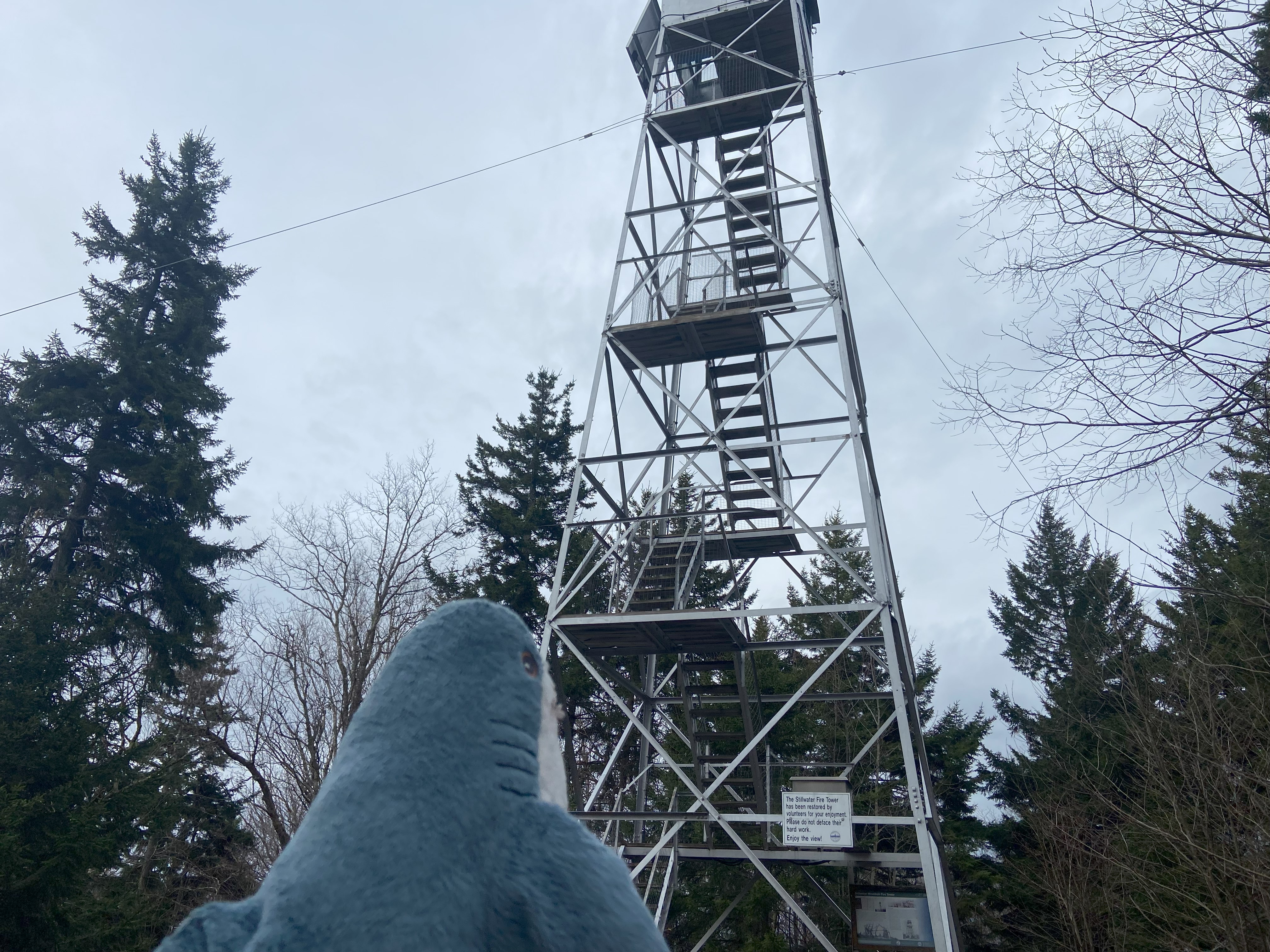
Considering there was a forecast of heavy rain supposed to start up mid-morning on the 10th, I knew that Stillwater, being so far off any paved roads, would have to be the first priority, as I was seriously concerned about the road being washed out/too muddy to drive on. So I drove there the night before and camped at the trailhead, which is actually really nice. The road itself is dirt, but has good tread, so I wouldn't see any problem with doing it in a sedan on a rainy day - although be careful of heavy rains and high winds, as the road wouldn't be high priority for the highway department and you could get stuck there for a bit. Minus a few brief, yet intense showers overnight, it was pretty dry, and the way up and down was delightfully easy. I didn't climb the tower, as I figured I would get good views later in the day. The drive out was straightforward, and I breathed a sigh of relief when I got back on paved road
Rocky Ledge, April 10th
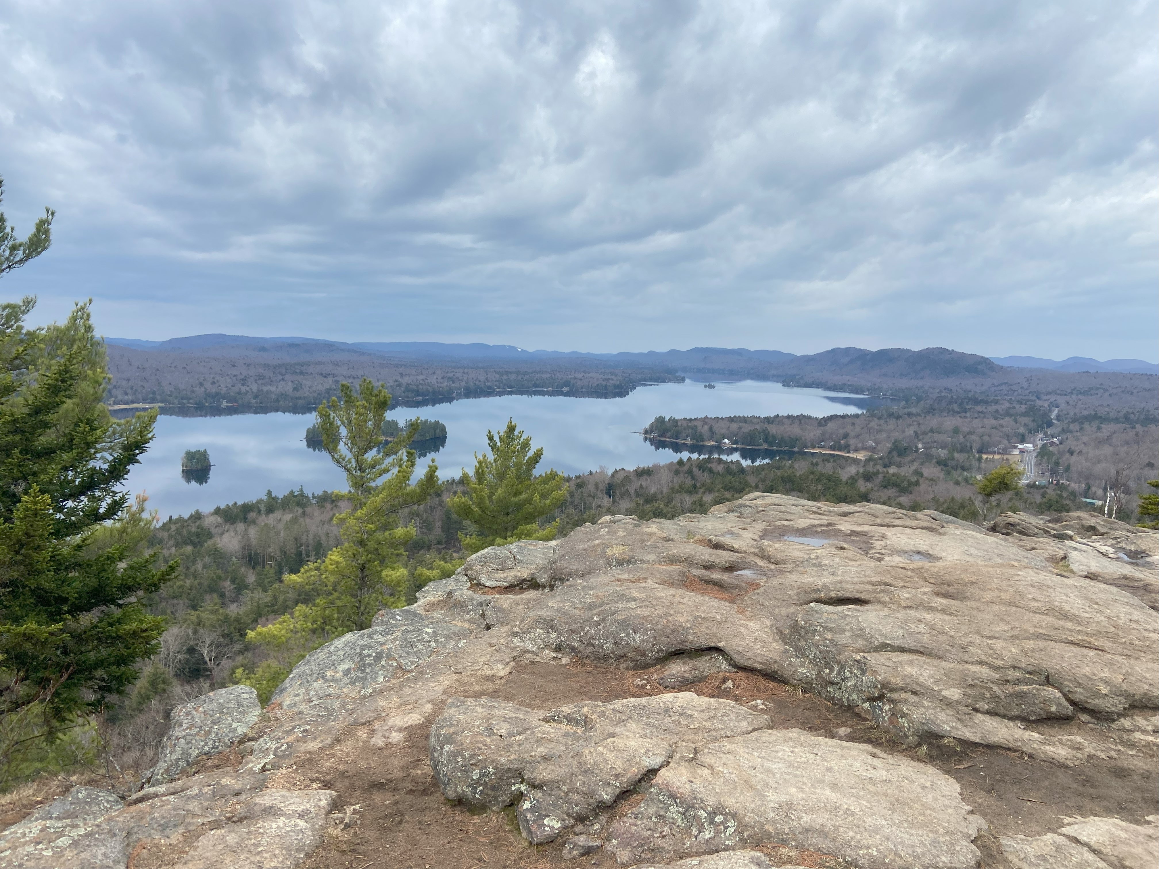
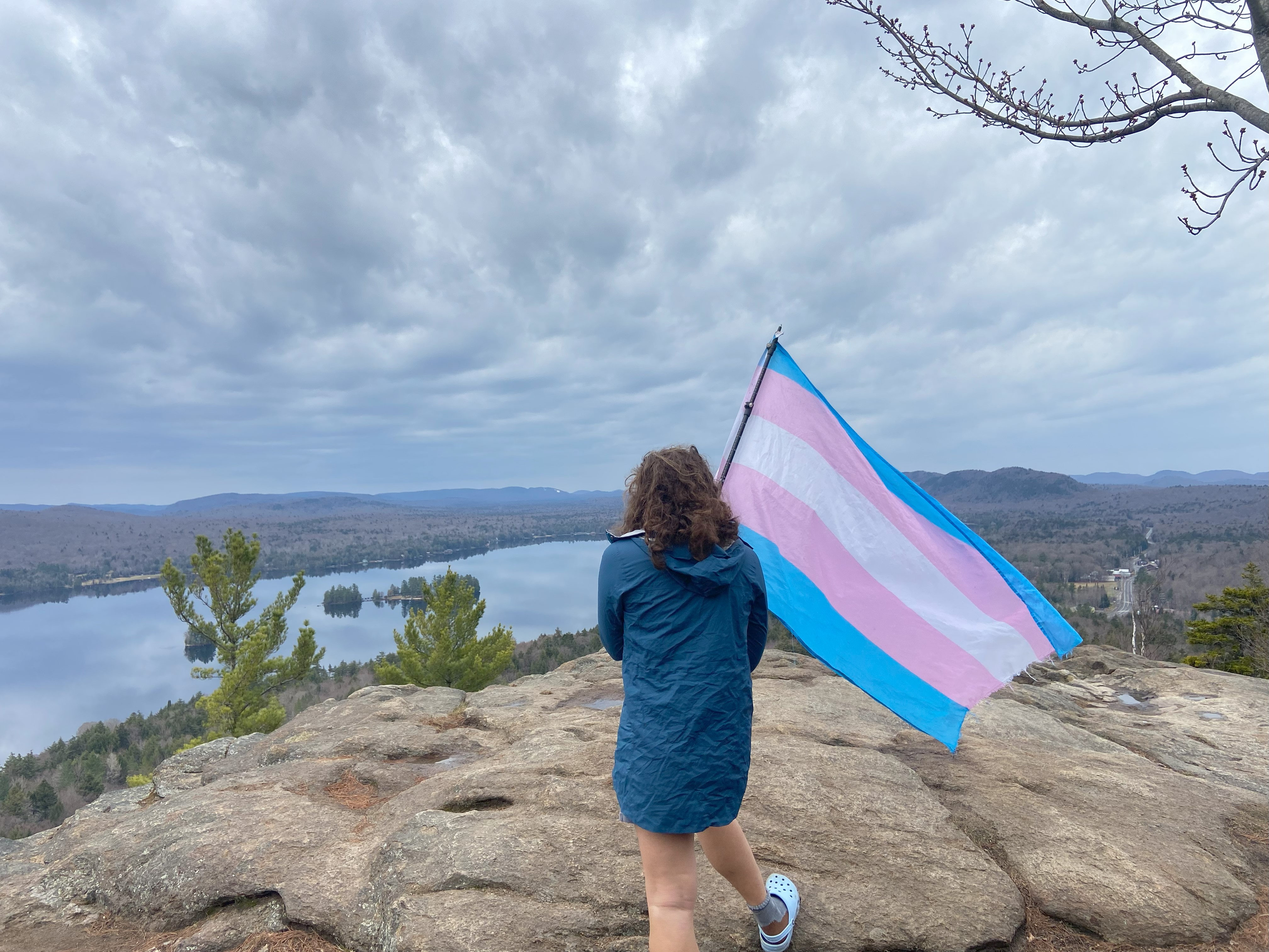
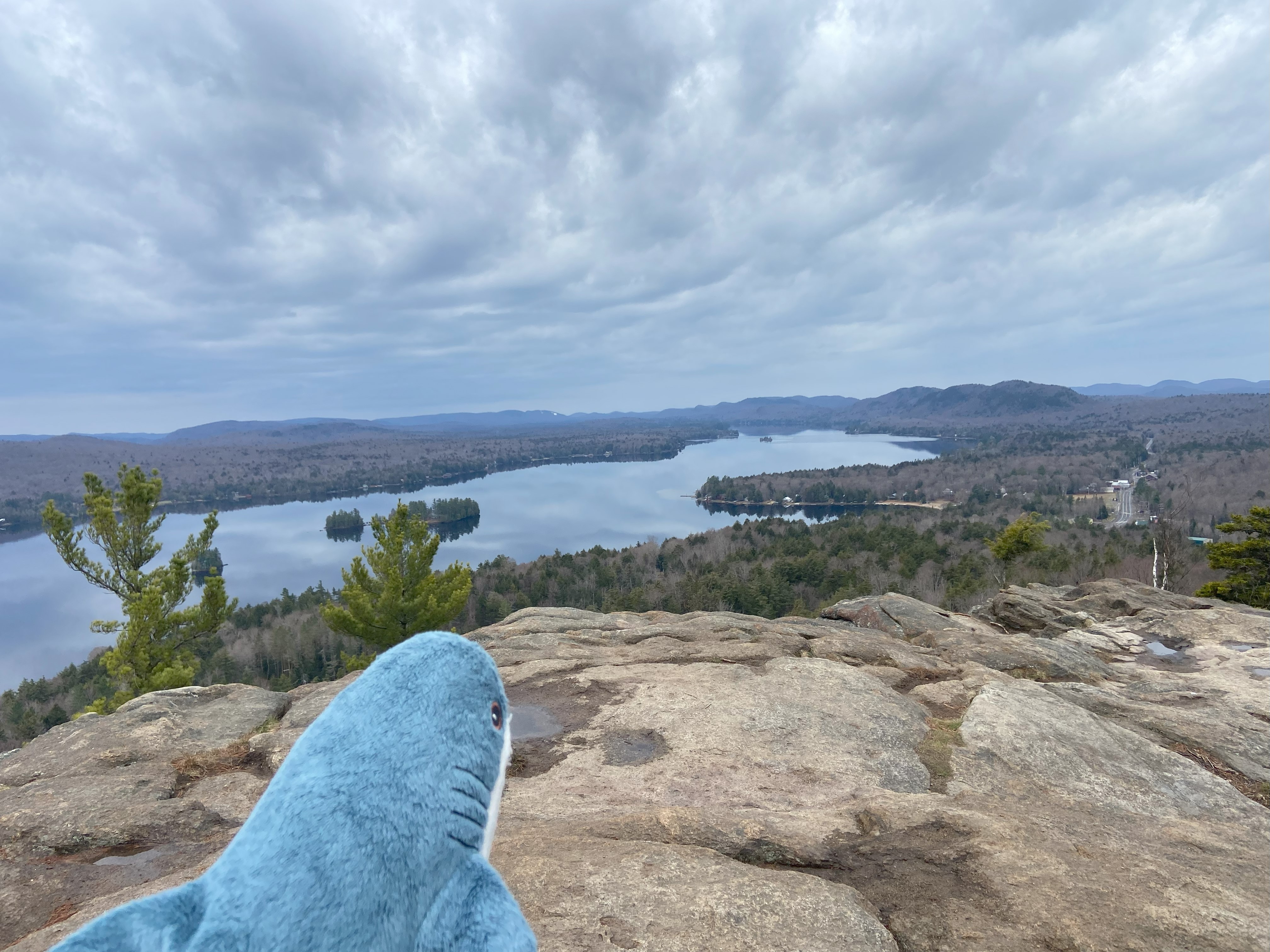
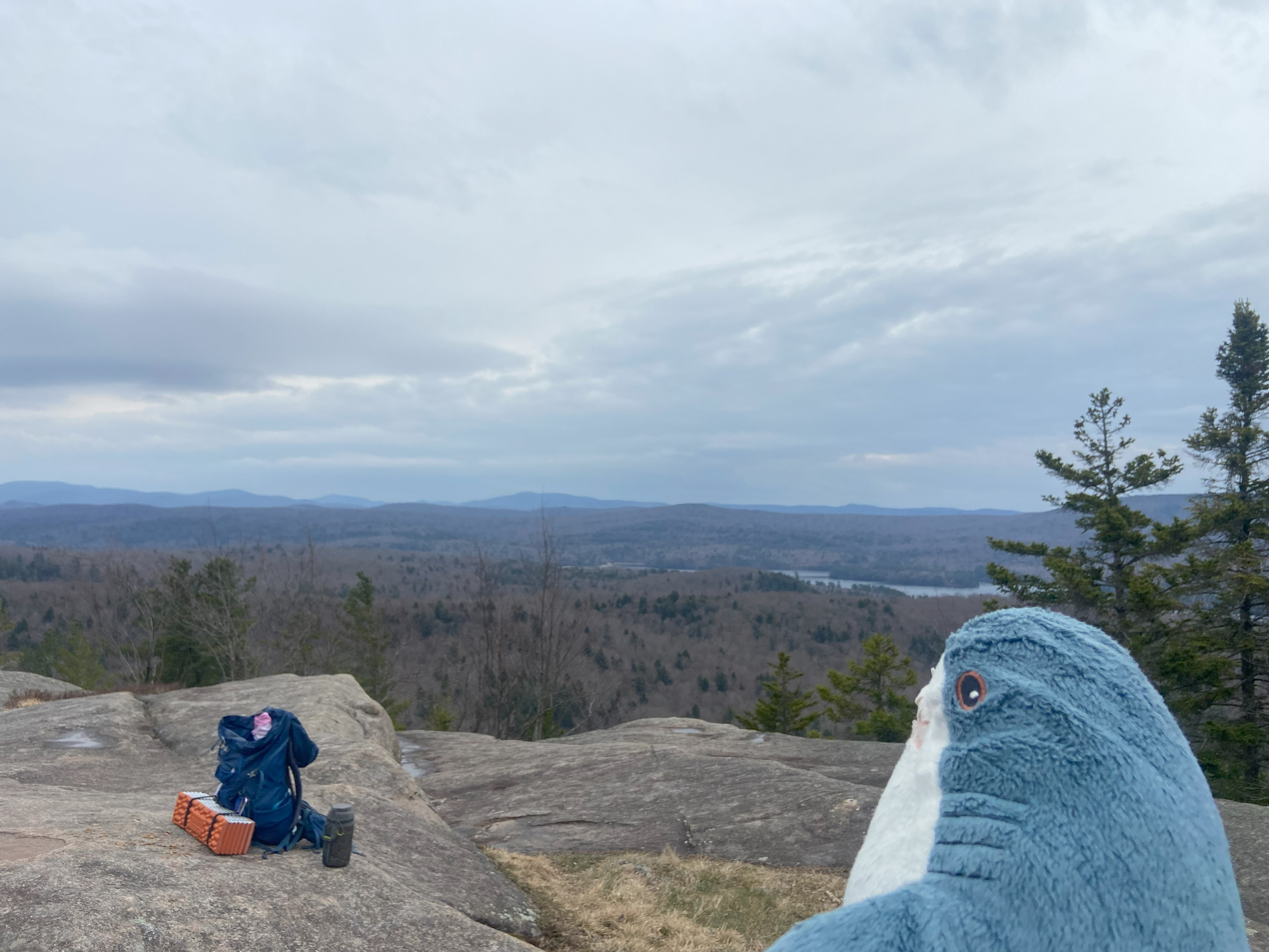
The heavy rainstorm forecasted for the area failed to materialize, so I decided to climb Rocky and Black Bear to finish off one of the shortest and easiest official lists on this website: the Fulton Chain Trifecta. Going up Rocky was straightforward, with some bad drainage here and there causing mud, but with the whole hike so brief as to make that not matter much to be frank. The views were good and I was soon off to Black Bear
Black Bear Mountain, April 10th
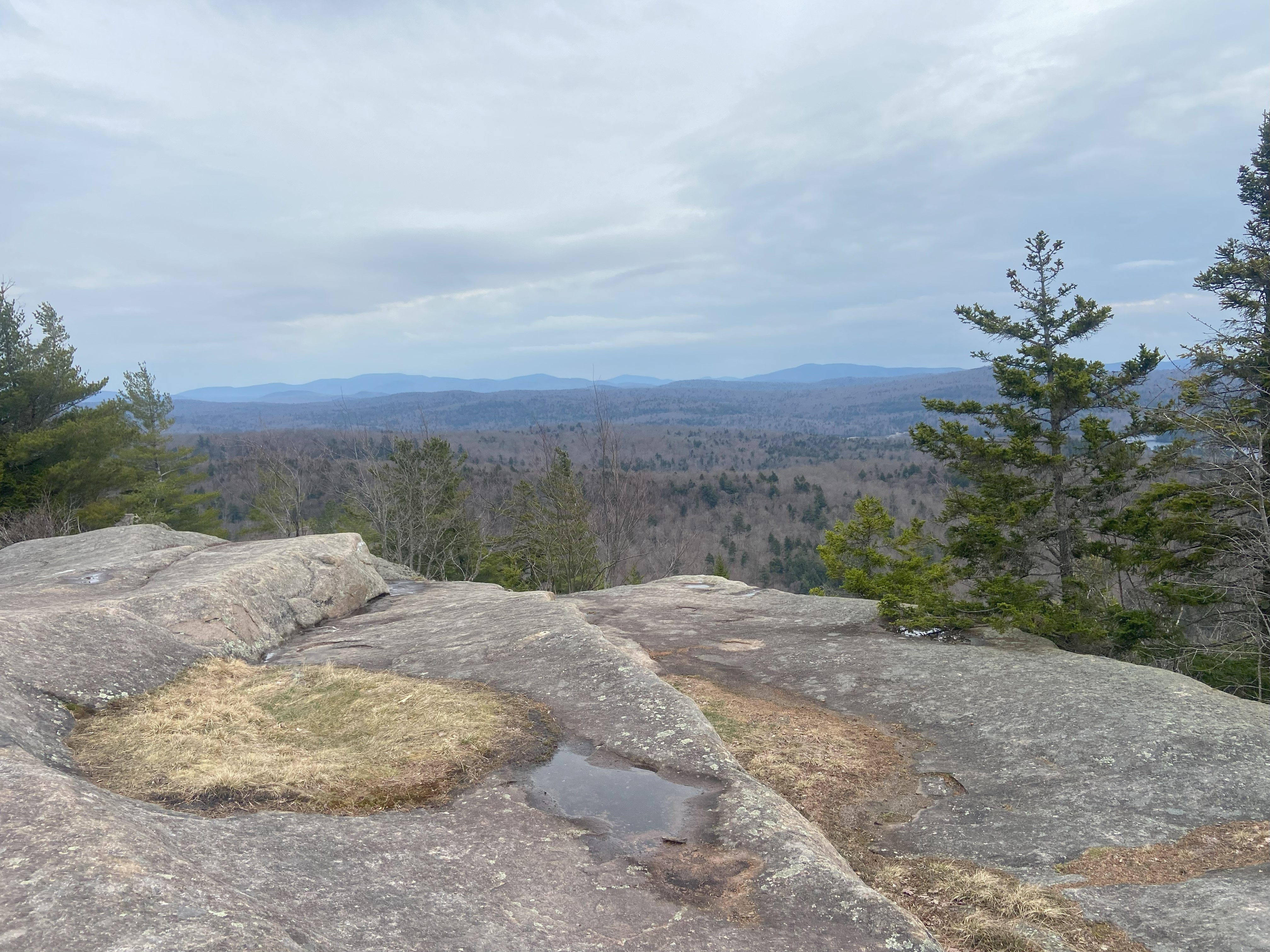
After scarfing down some leftovers, I started up Black Bear, and found the approach to be rather muddy and poorly maintained - but nothing unheard of for NYSDEC, unfortunately. I went up the western approach and was supprised to find a handline on part of the trail! This makes this mountain one of only half a dozen or so in the Appalachians I've done with such a think on it - and that's counting Gothic's cable as a handline! It got even finnier when the second handline was made of p-cord, which was sketchy as hell, but which I rationalized was probably as strong as some of the weaker branches I typically hold on to. Anyhow, the views were great and the descent uneventful. I spent the rest of the day relaxing and talking on the phone with my lover back in Vermont. A good day all around :)
Woodhull Mountain, April 11th
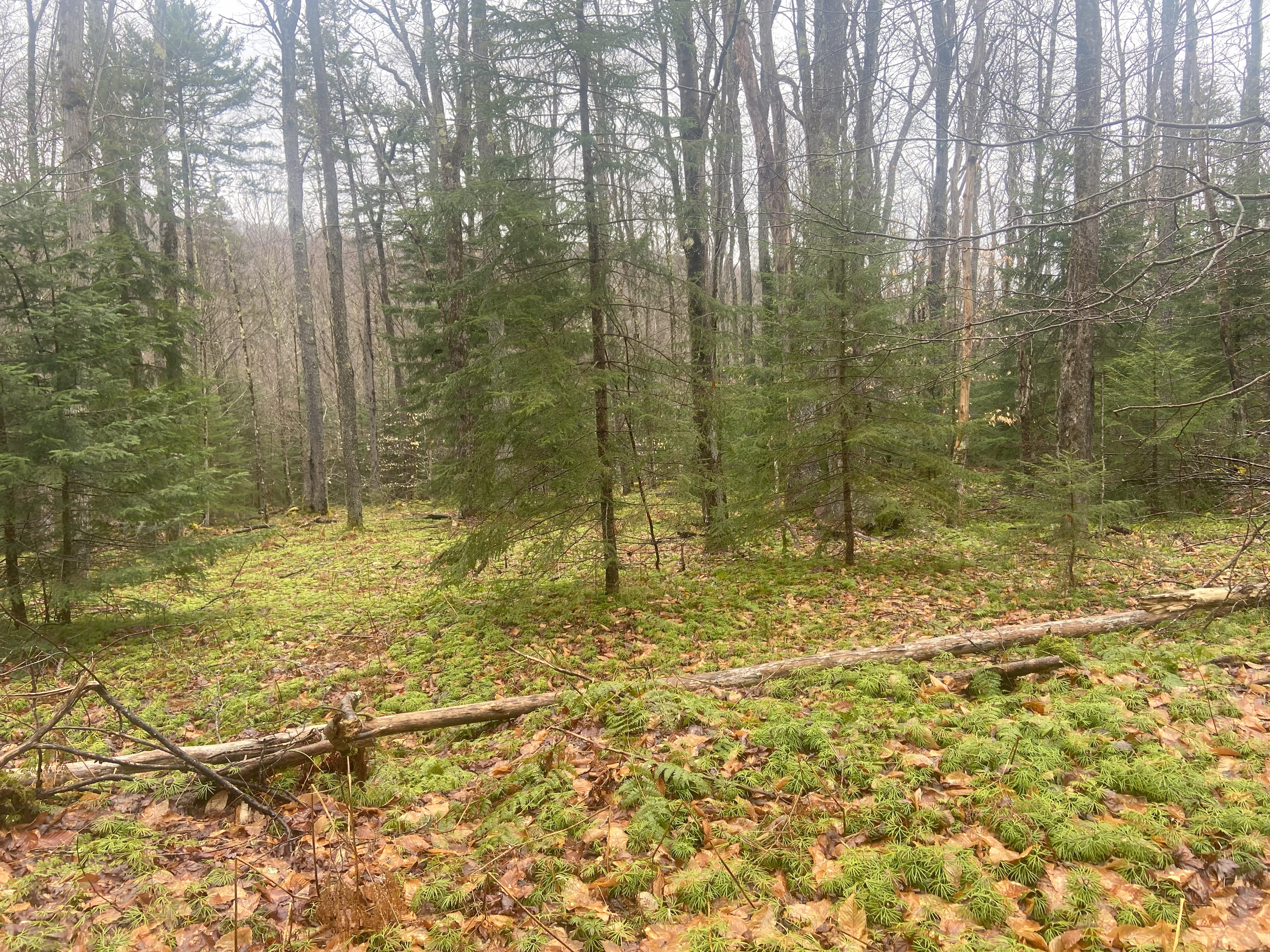
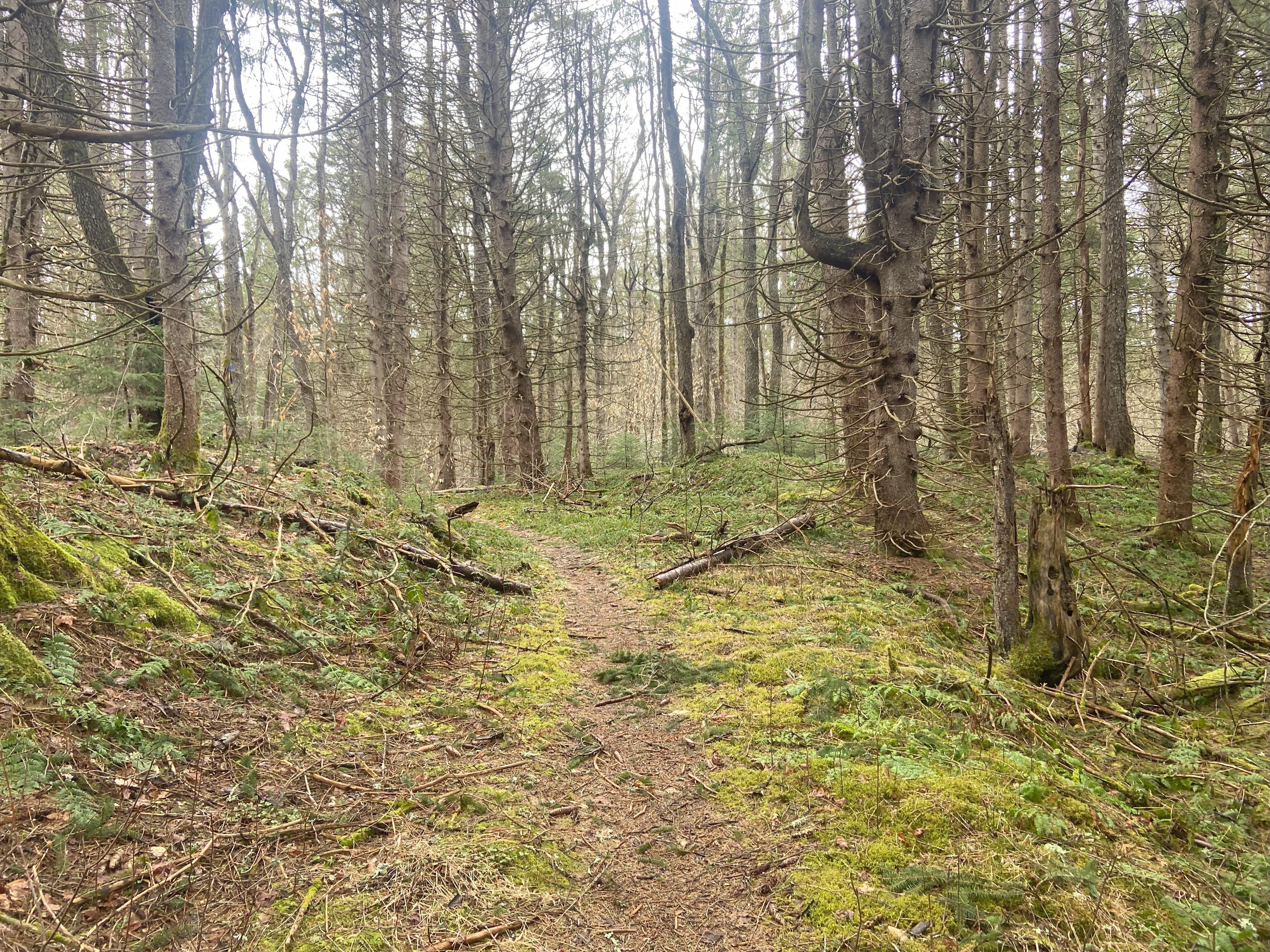
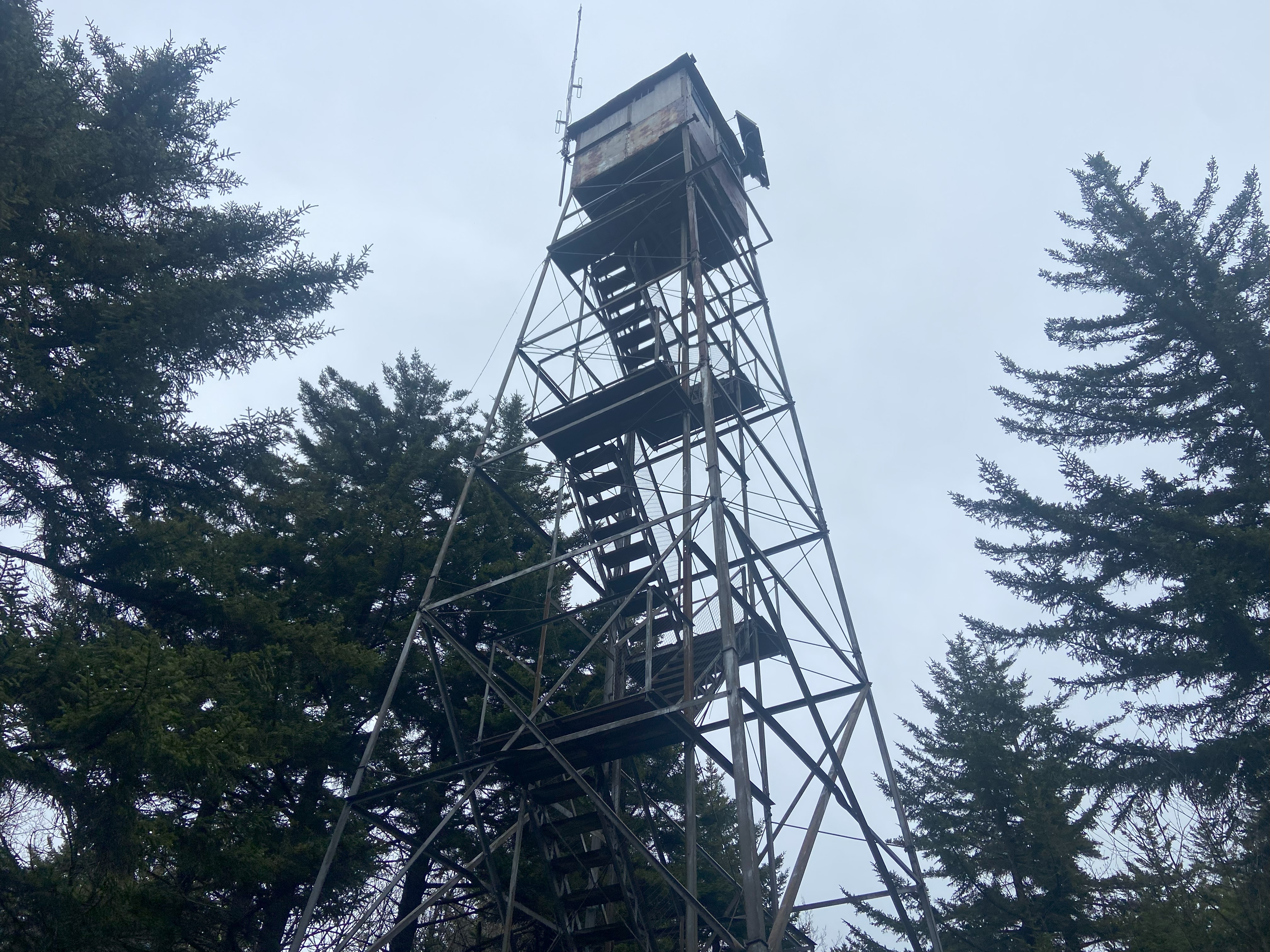
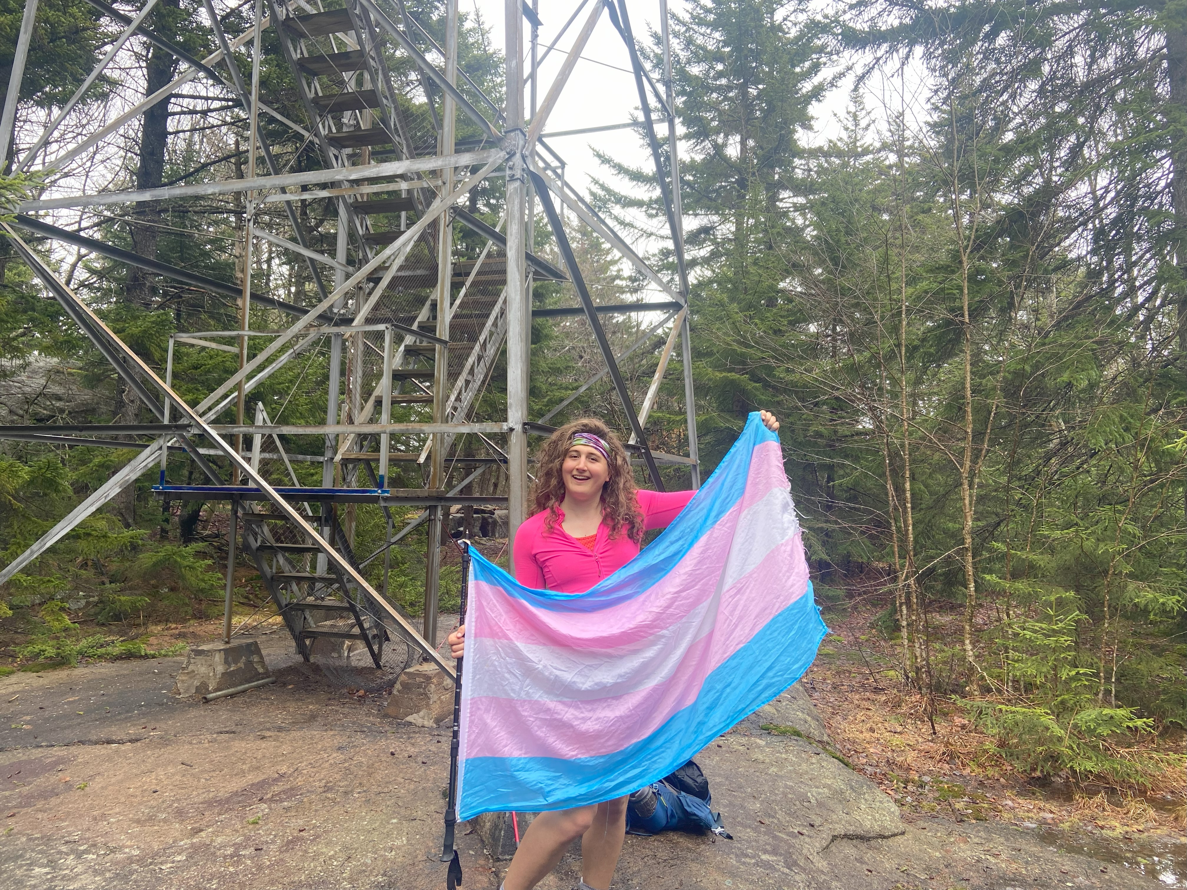
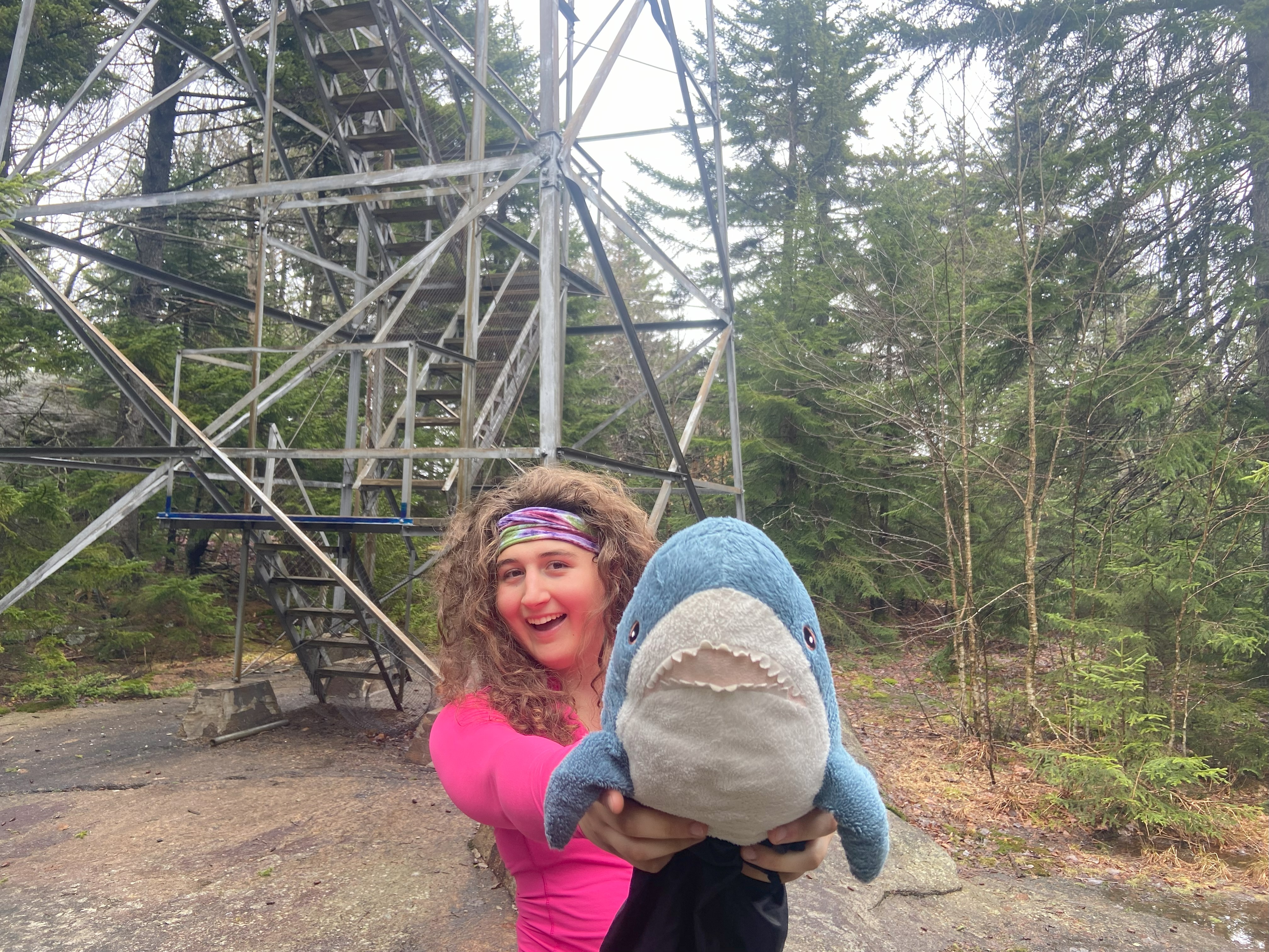
Woodhull ended up being substantially shorter and easier than I expected. I was prepared for the 14 mile slog I had read about and was expecting the hike to be the equivalent of Allen for the Fire Towers. However, there are two roads that start from the trailhead beside McKeever. One looked well-maintained, but is a more indirect route. I took the less-maintained one to the left, and got on my ebike, figuring I would ride it as long as the road was good enough to allow it. That turned out to be 5.5 miles in, which effectively turned a 14.5 mile day into a 3.5 mile hike with a bike ride before and after. Technically there aren't any motorized vehicles allowed on the road - and I imagine an e bike is included in that - but I found it to be pretty alright nonetheless, and would highly recommend biking the first part of this trail. After coming across a bridge, it turned into a hiking trail, and was pretty well maintained by in large - minus a few characteristic bogs, of course. I wasn't able to ascend the fire tower due to high winds, but the way back was enjoyable, and I finished hours before I was expecting to - which was quite nice
Bald Mountain, April 11th
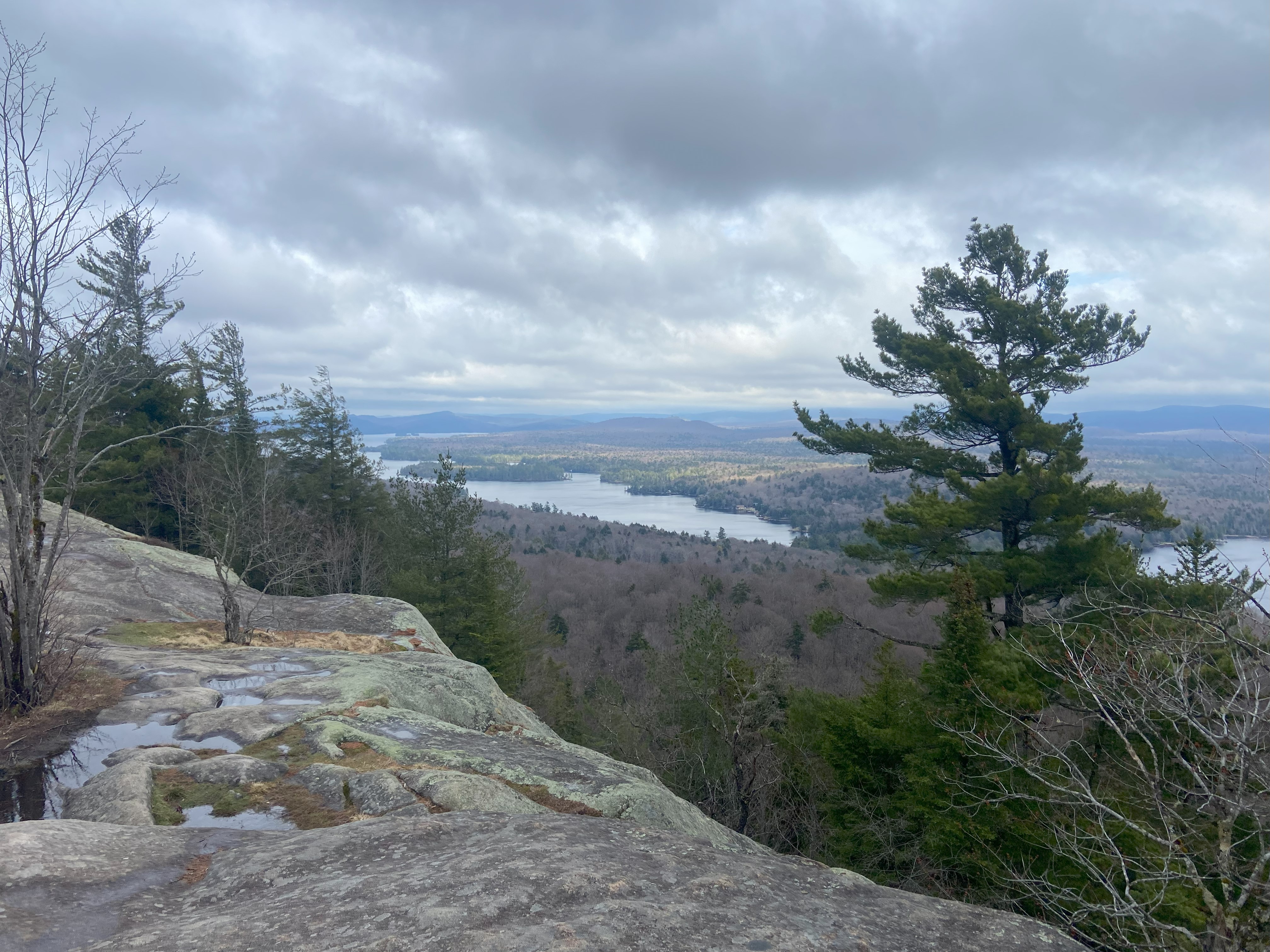
Bald Mountain was a simple up and down I did with all the freetime I had after Woodhull that I wasn't expecting to have. Nothing particularly notable here other than the van-living lesbians I saw on the trail along with the general bouldery-ness of the trail being comparable to Giant at times - which is wild tbh. Anyhow, afterward I set out for Long Lake to relax for the rest of the day
Buck Mountain, April 12th
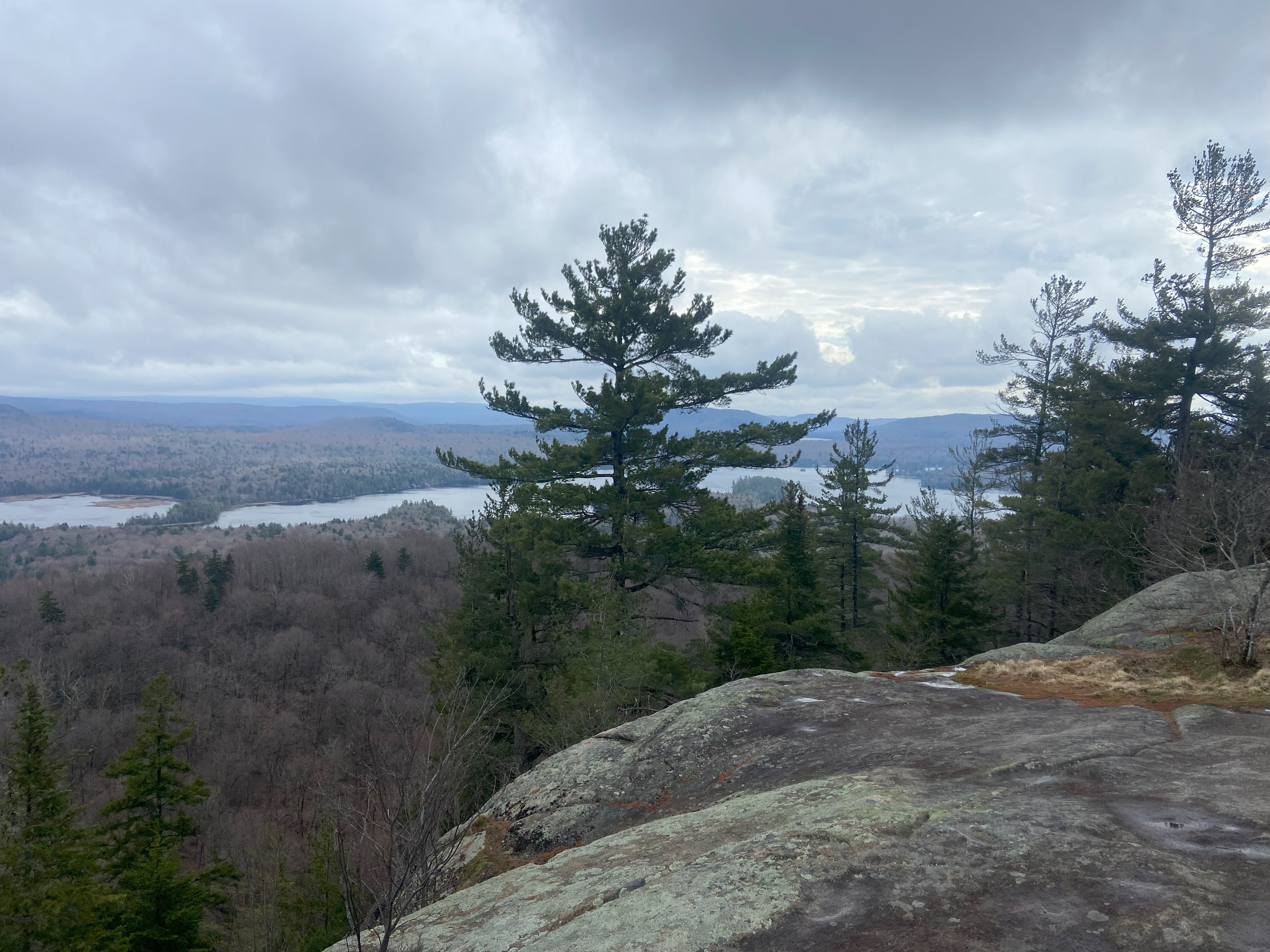
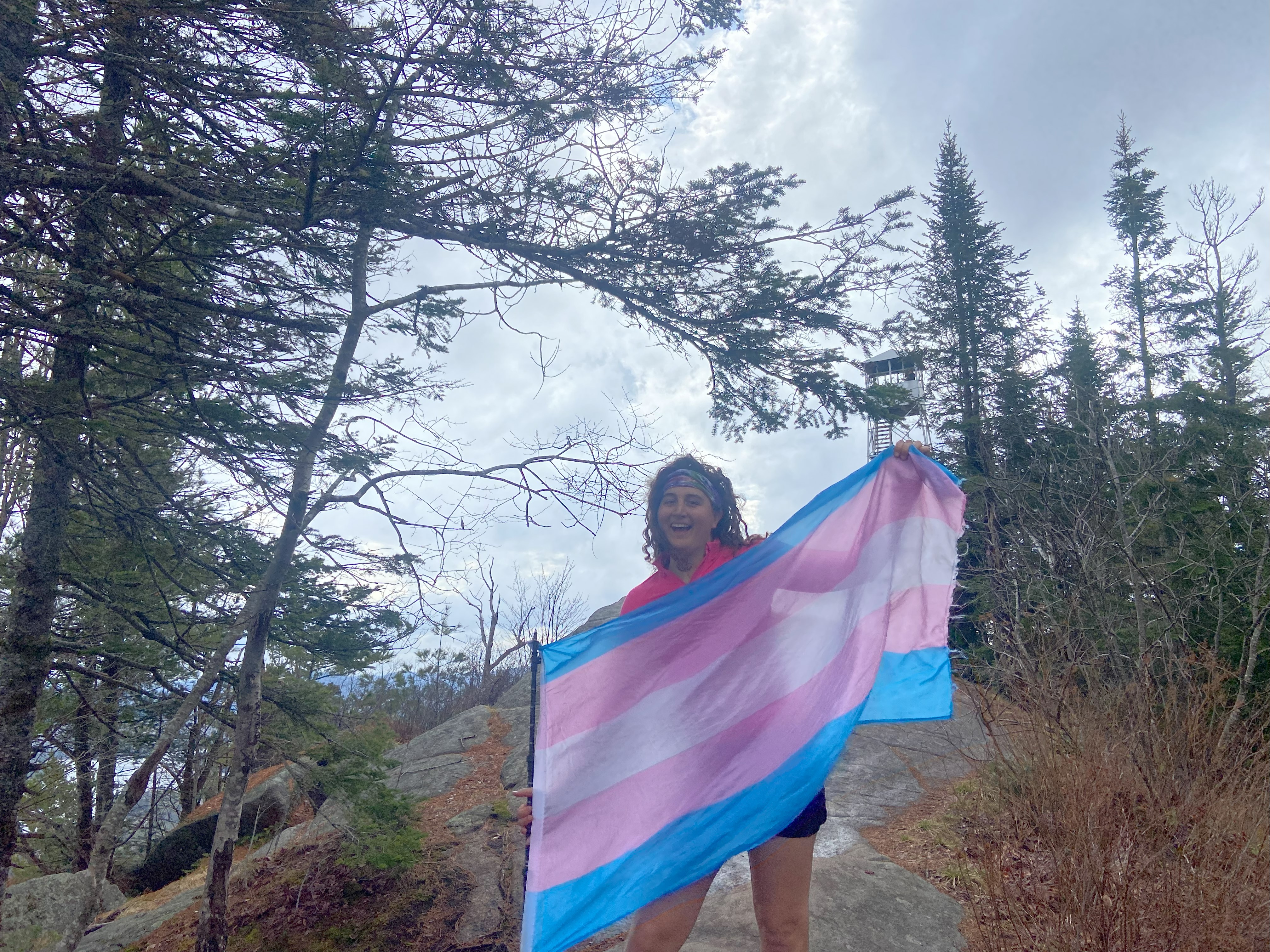
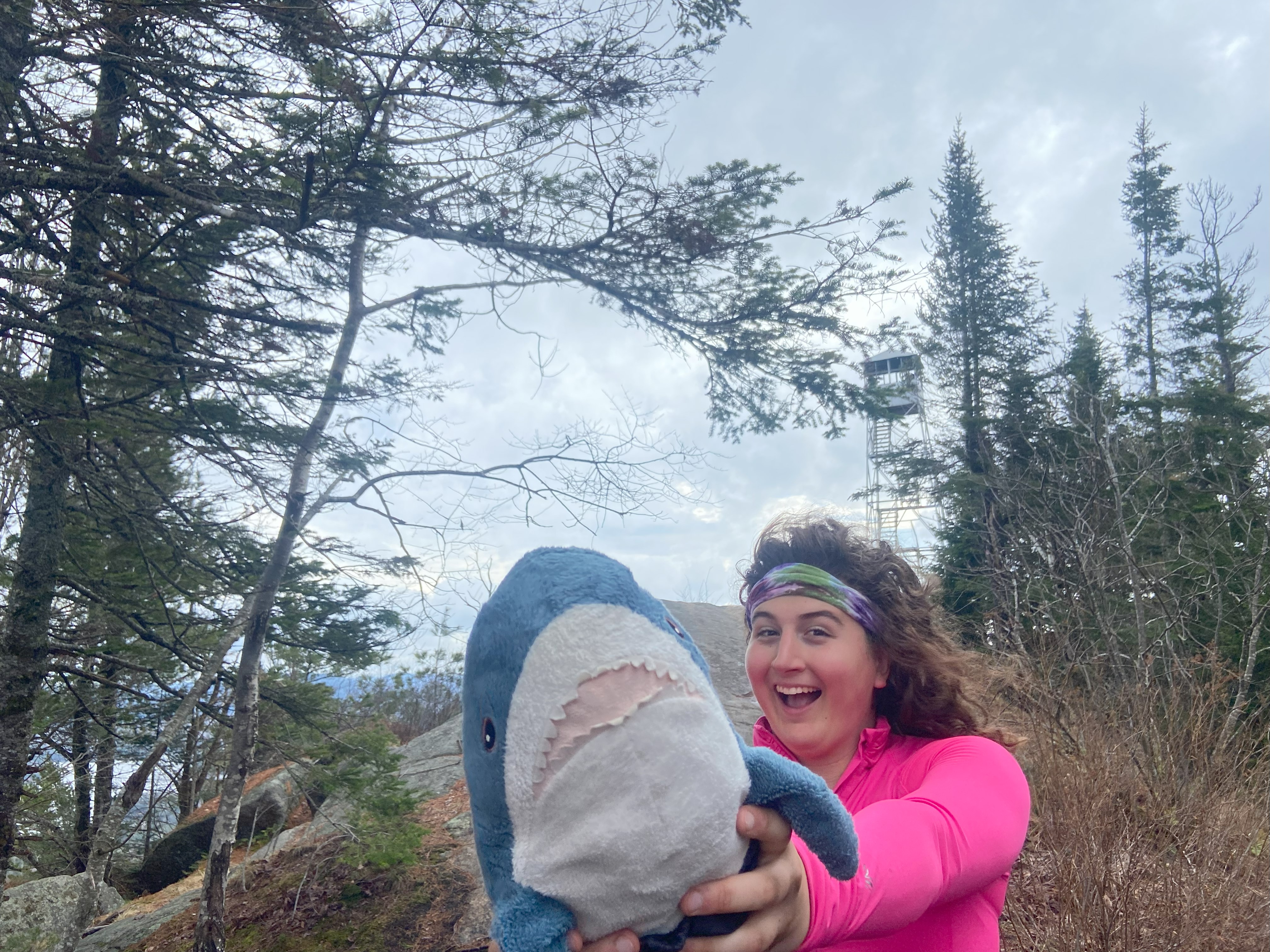
I was able tp sleep at the Buck Mountain trailhead despite the fact that it's not NYSDEC land, and that it's not technically allowed to car camp at the trailhead. That being said, it's sufficiently far off the main road that I figured the only way I would get busted would be if someone patrolled it, which I didn't think would happen on a weekday night. I was right. After scarfing down some food, I went up. This one is interesting, because the fire tower is brand new, and there are a number of well-made wooden steps and rock staircases that are also new. At the same time, the drainage is the worst I've seen this year with the possible exception of Kaaterskill - which is a low bar, to be clear. It's bad, and I can only imagine it's so bad because they prioritized fire tower/stair construction last season, so hopefully they'll come along and finish it. In the meantime, it's my least favorite fire tower I've done - anywhere. Anyhow, I got my photos at the top, slogged down to the bottom, and then drove to Lake Placid to crash and rest the rest of the day
