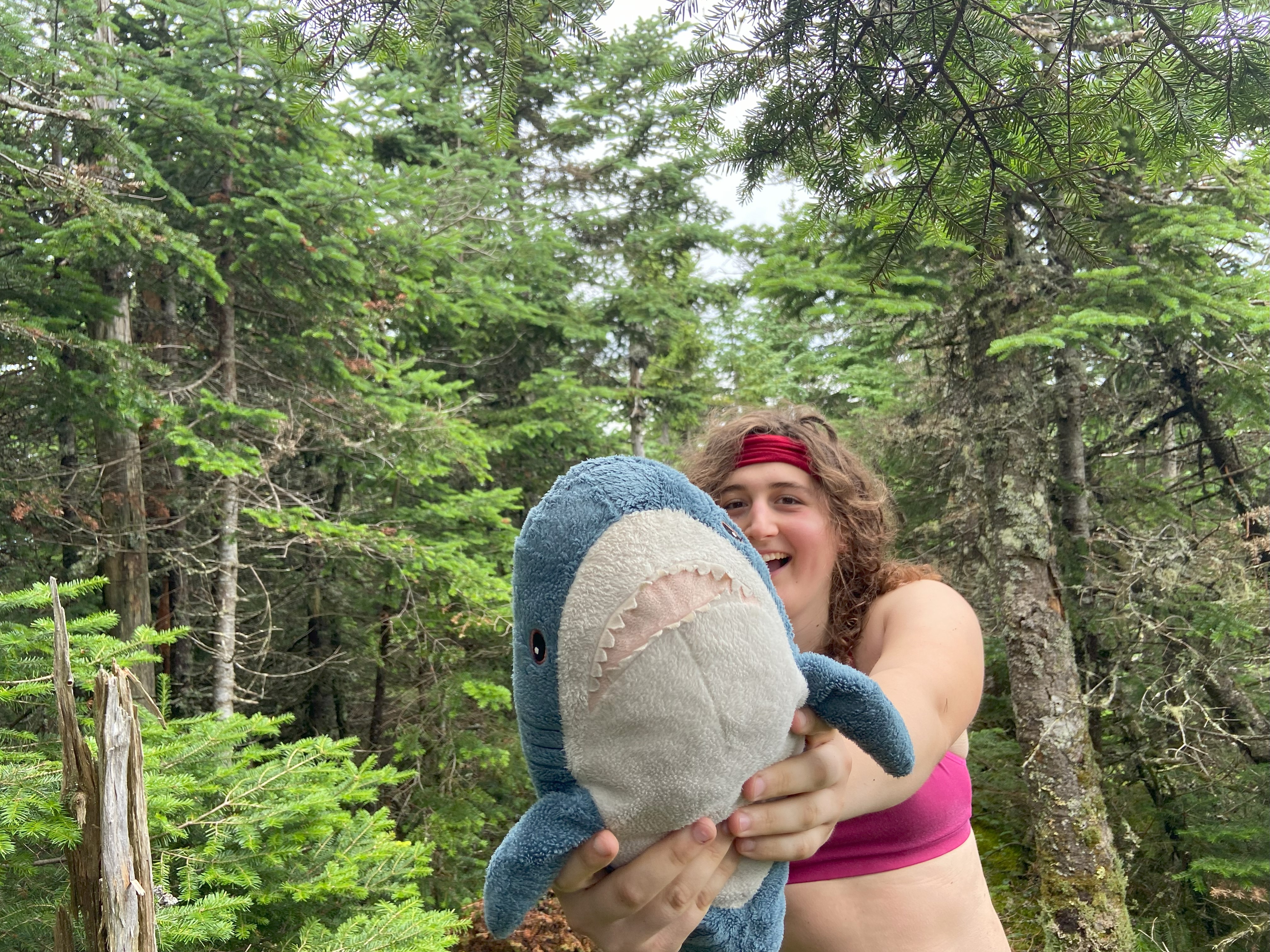
New York and the Northeast Kingdom: July 8th-July 17th, 2024
After recovering from my sickness and climbing most of the peaks on Ossipee, I decided now would be a good time to work on finishing off my New York Fire Towers along with clearing up some peaks in the Northeast Kingdom of Vermont. I got five days off from my job and I was originally going to finish the fire towers along with the Lake George 12sters, but I still had to rebuild my hiking abilities, so I only climbed 4 of the 8 mountains I was planning, but it was still good and I finished the fire towers!!! After spending a few nights with Mara and working, I went out to the Kingdom and biked up East, and hiked up Hor and Putnam - finally finishing the P2ks in Vermont! Now it is only the triplets in Maine that remain...
Crane Mountain, July 8th
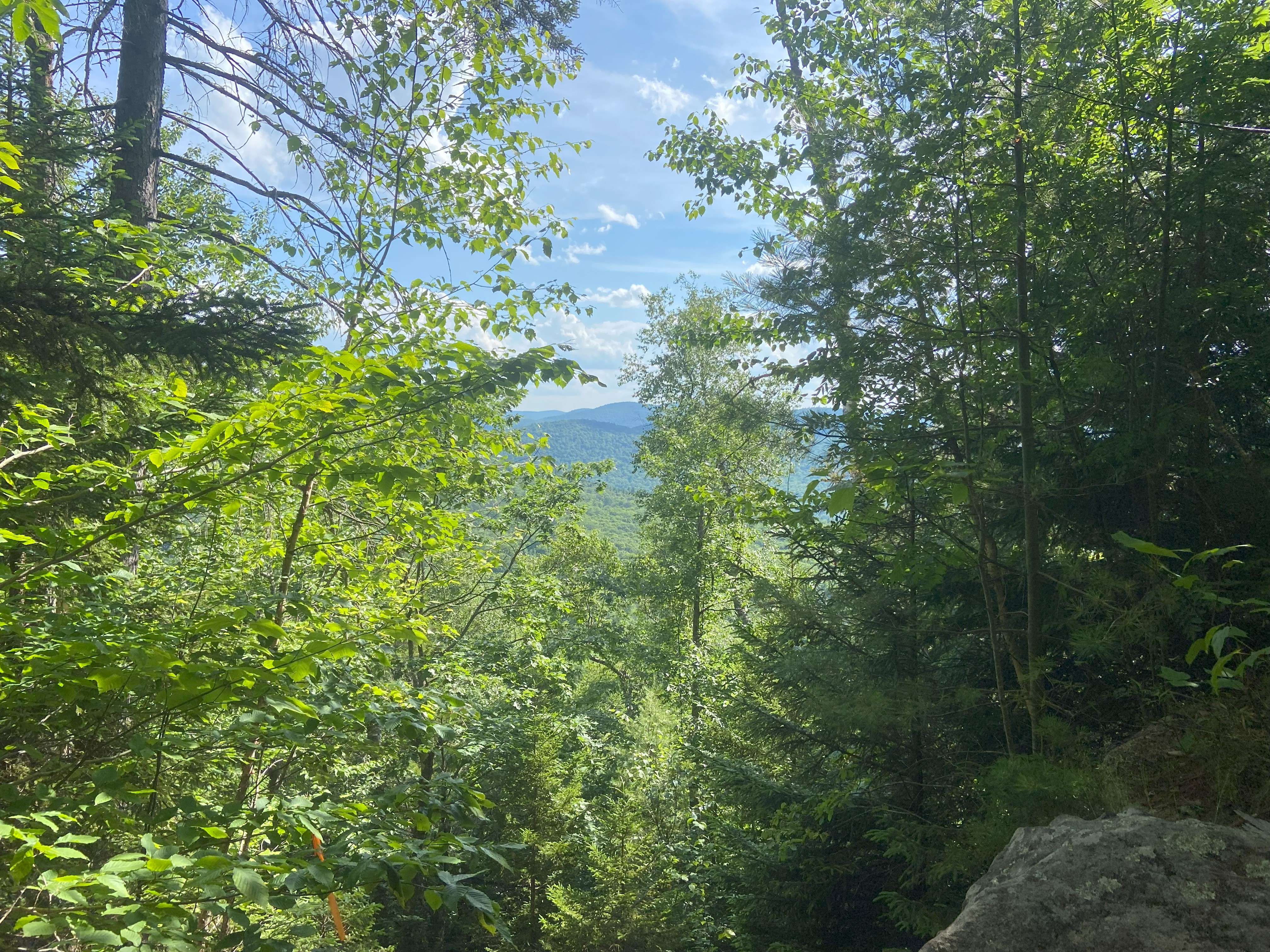
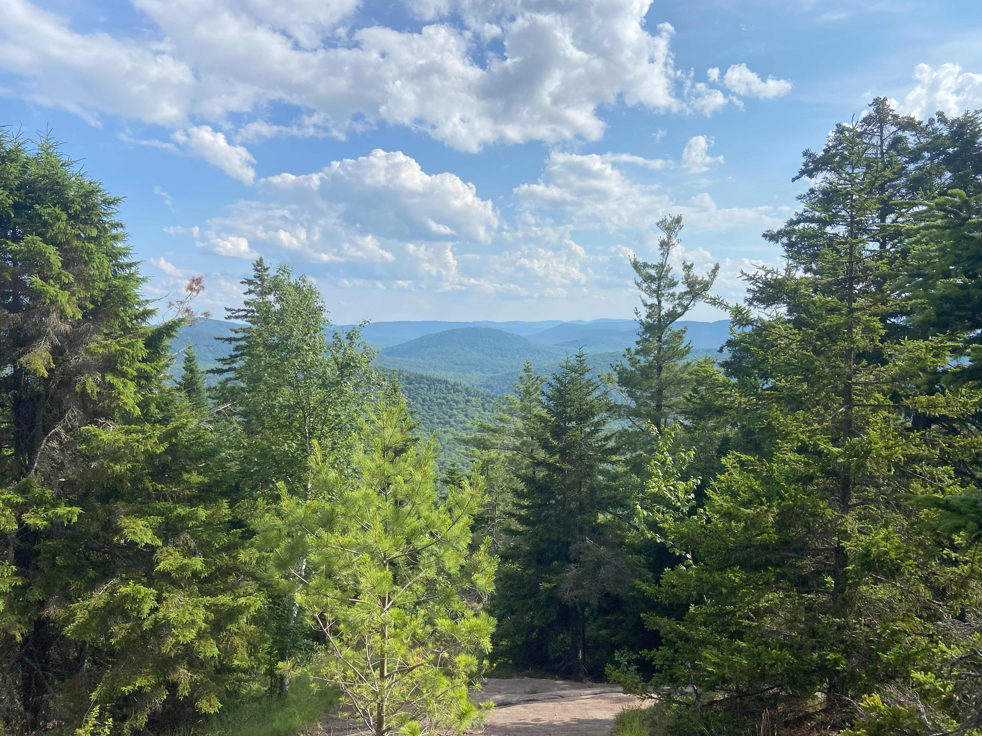
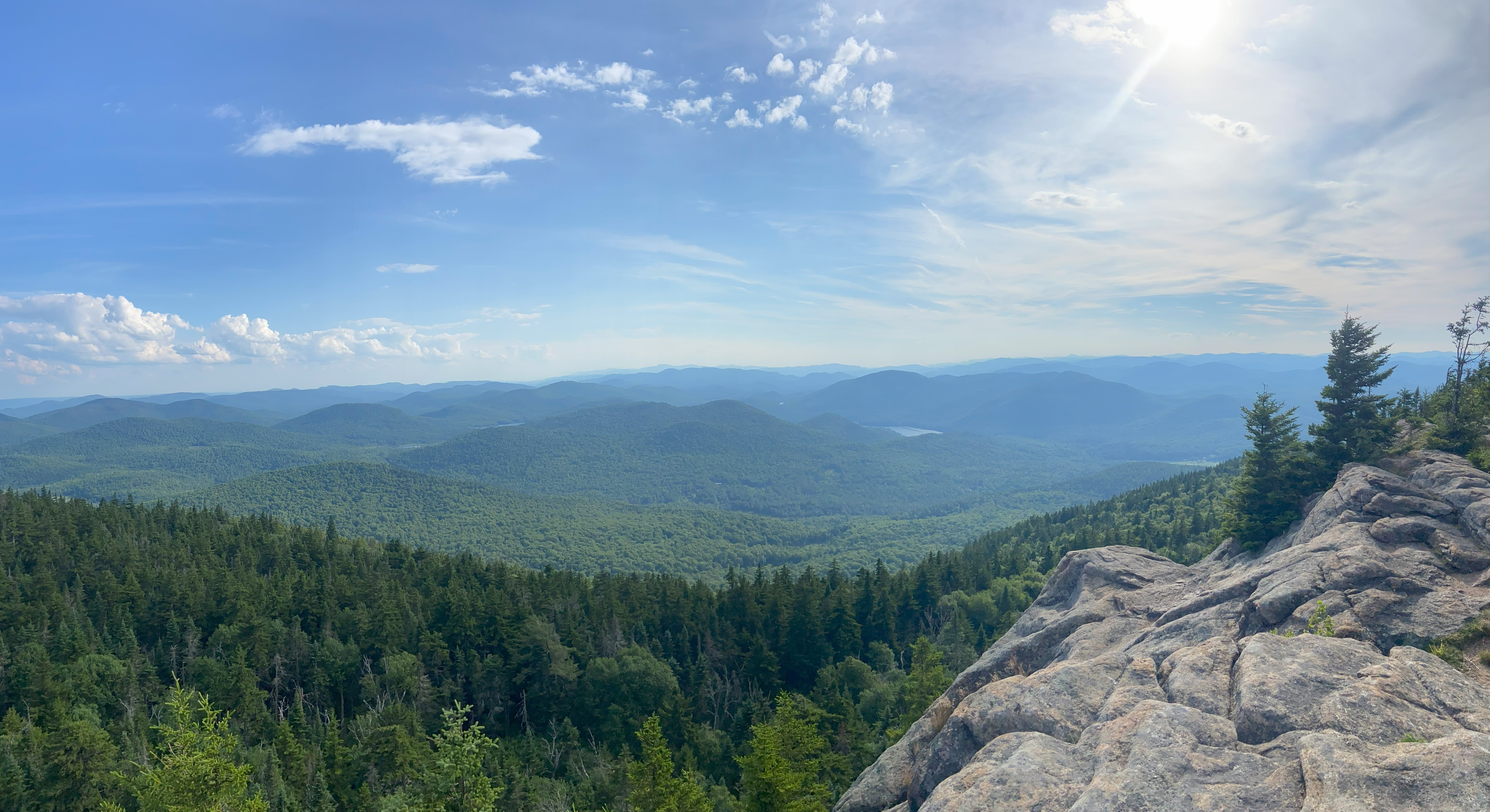
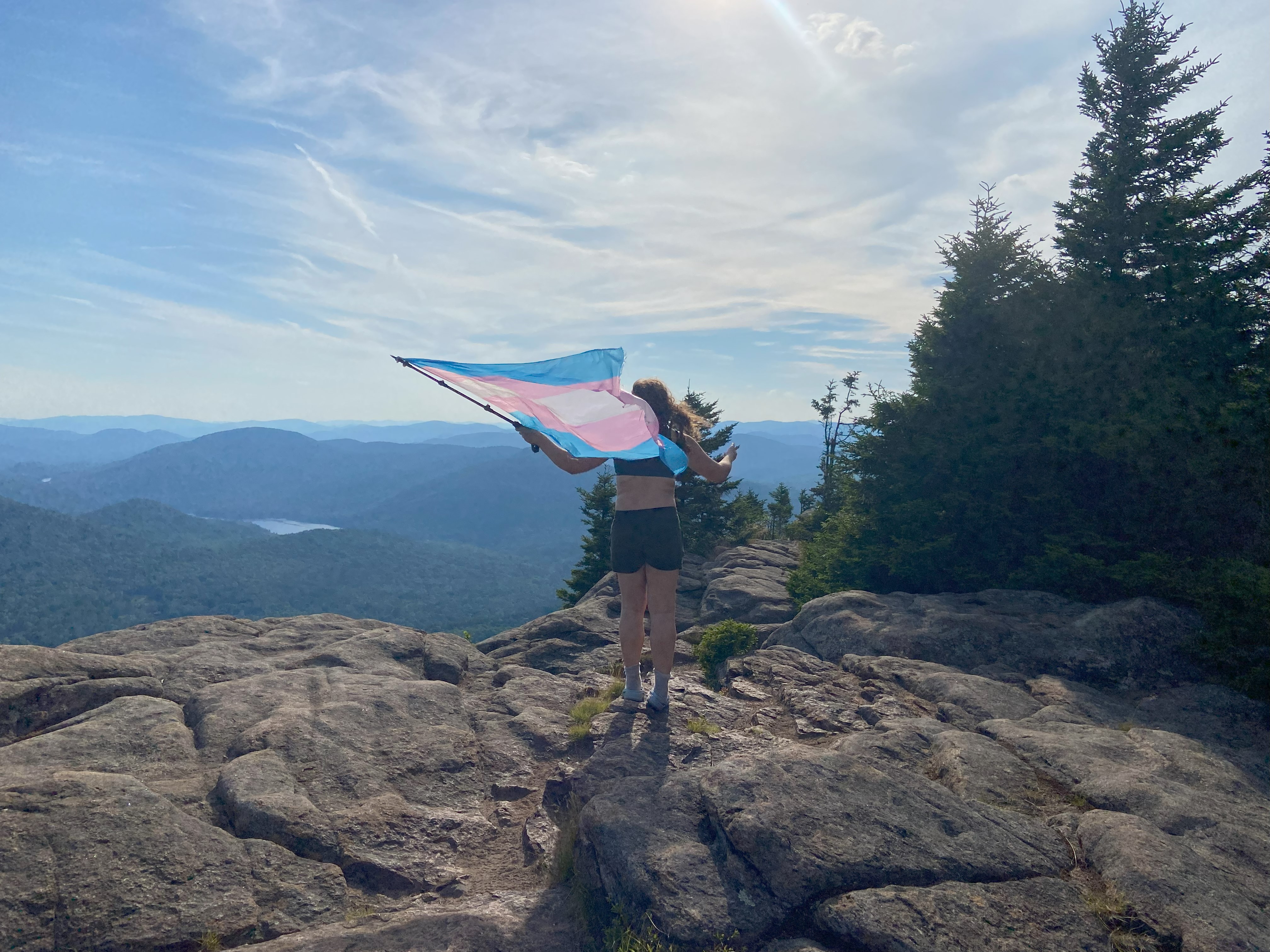
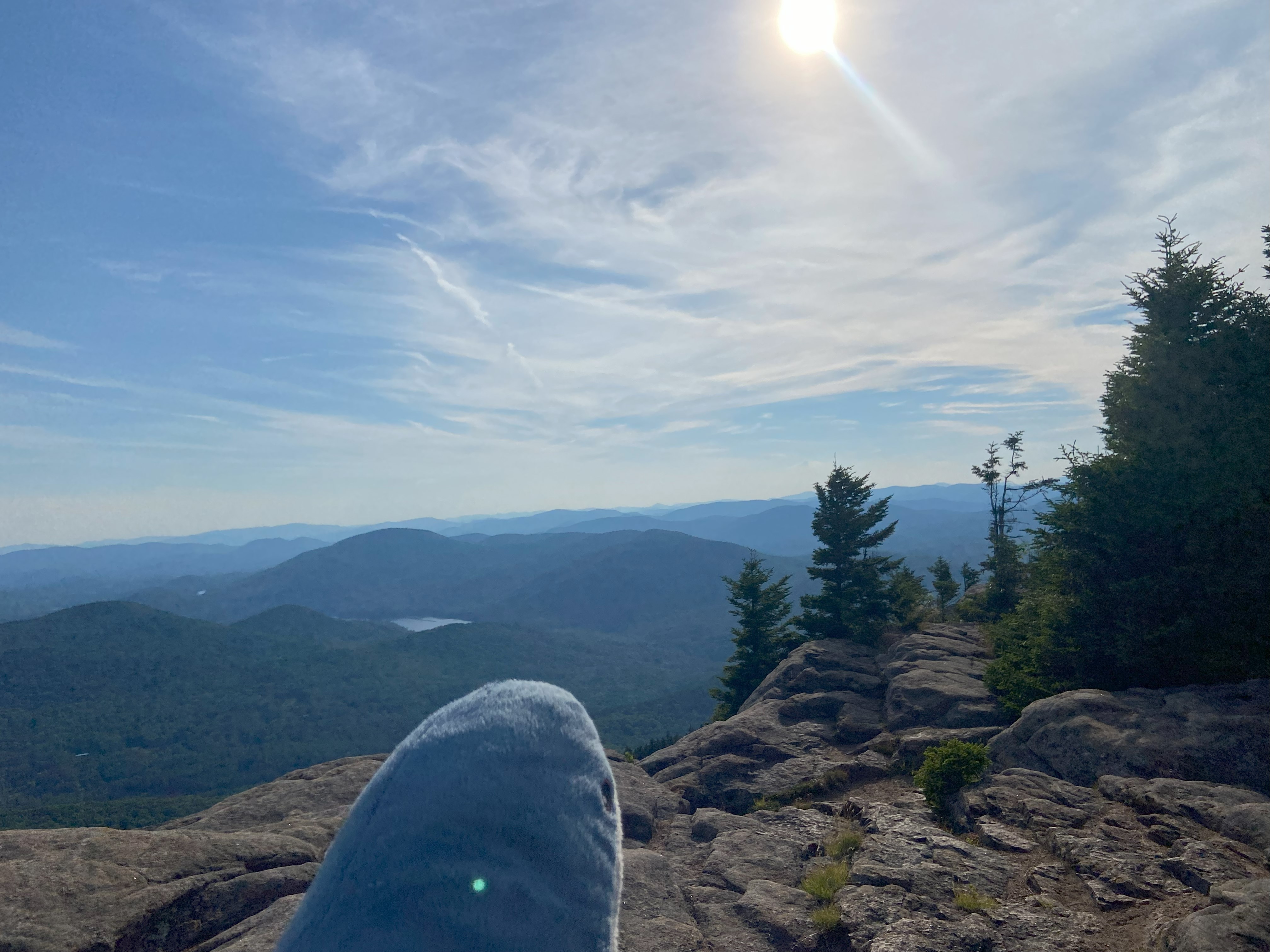
Crane mountain is one that I did in the fall of 2020 when I was living in Wevertown, and I was looking forward to doing it again now that I've transitioned. Now that this one is out of the way, save Cube in NH and a subpeak of Fuji in Japan, there is no significant peak outside of Alaska that I did before I transitioned that I haven't done since then. The way up was steep as shit, being reminiscent of Little Spencer in Maine, but with ladders instead of handlines - that is to say, steep. The view at the top was delightful and the last panoramic view of the Adirondacks I think I'll have for many years, which gives me mixed emotions. I love this place and consider it a home of mine, and it just feels a little sad to let that go even though I'm being called to go out west. It feels cliche, but I genuinely feel like my time here is limited, and my destiny lies somewhere else, at least for a few years. Nevertheless, it was nice to go out with a bang on this one :)
Gore Mountain, July 9th
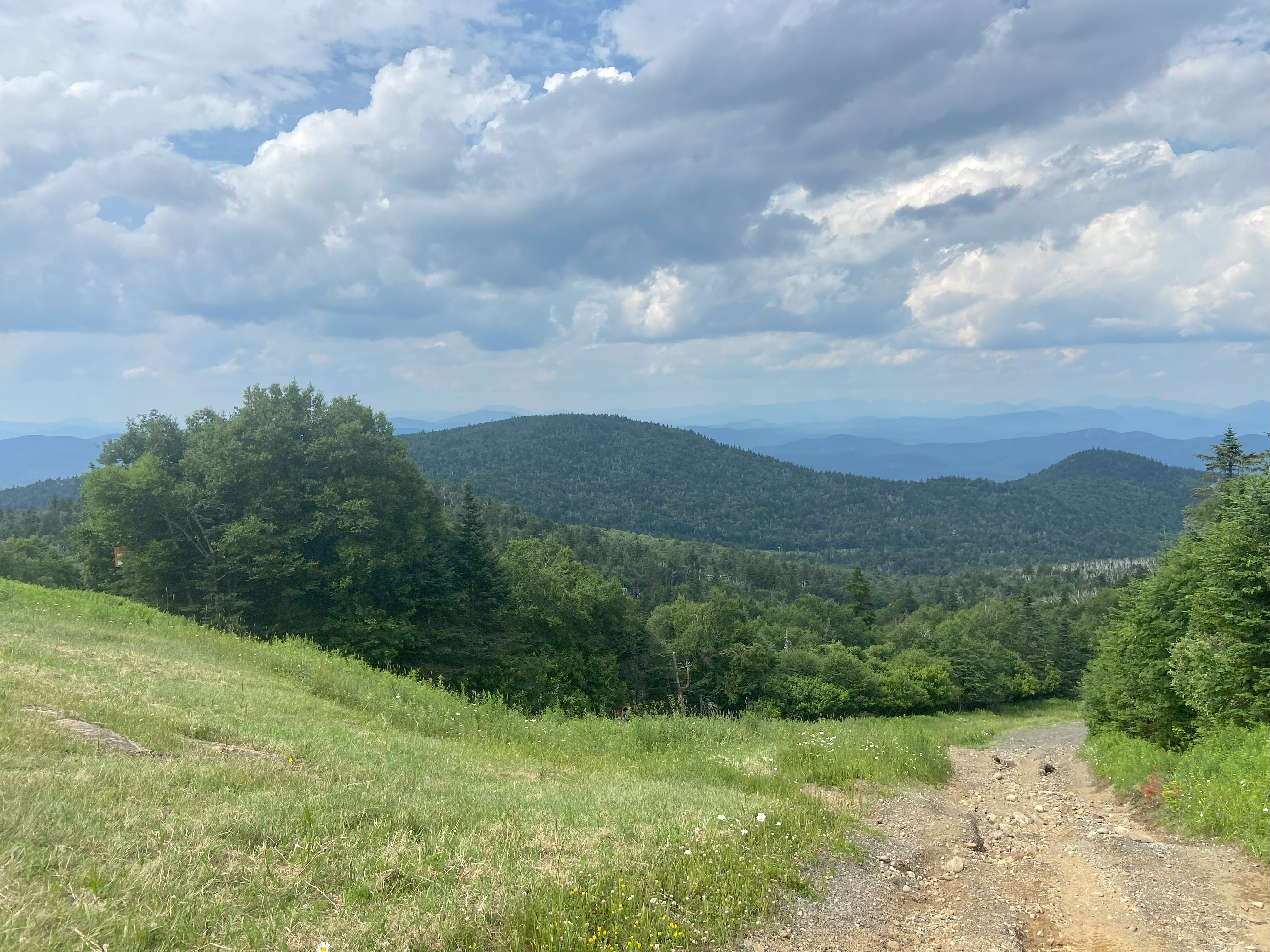
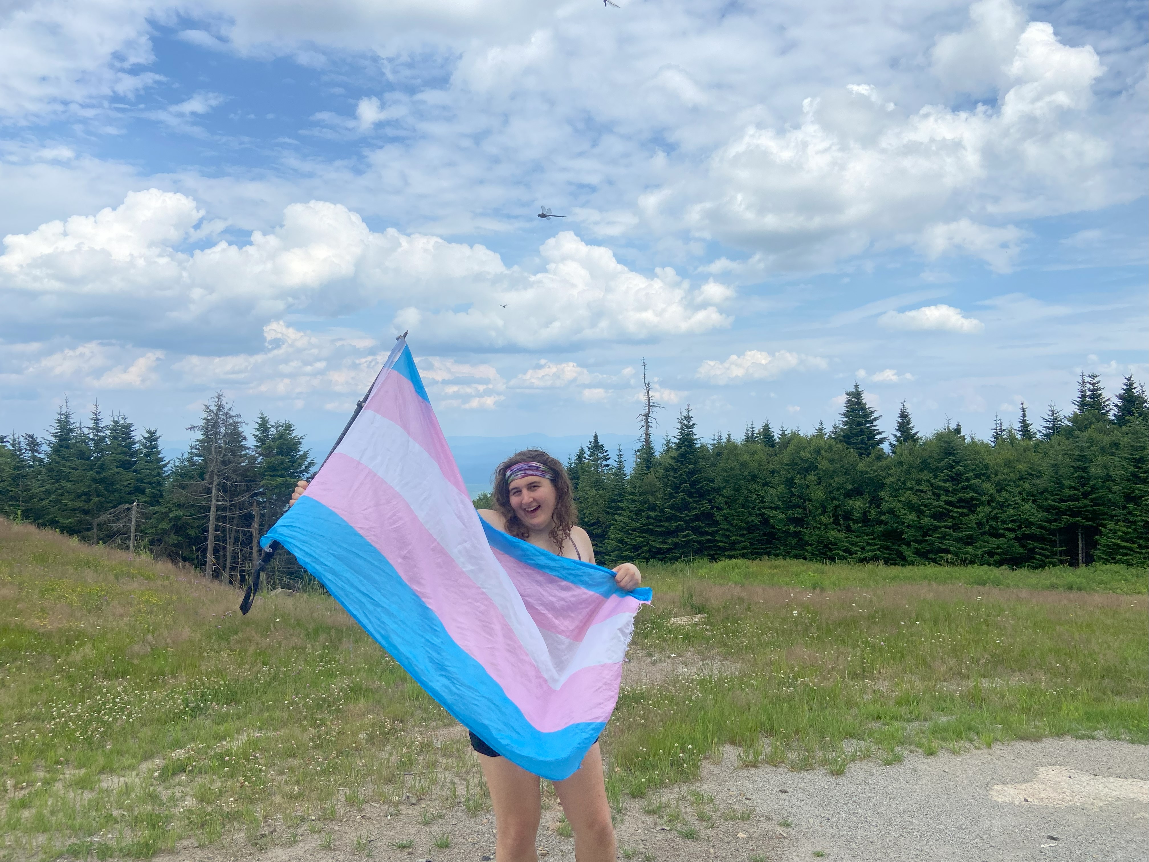
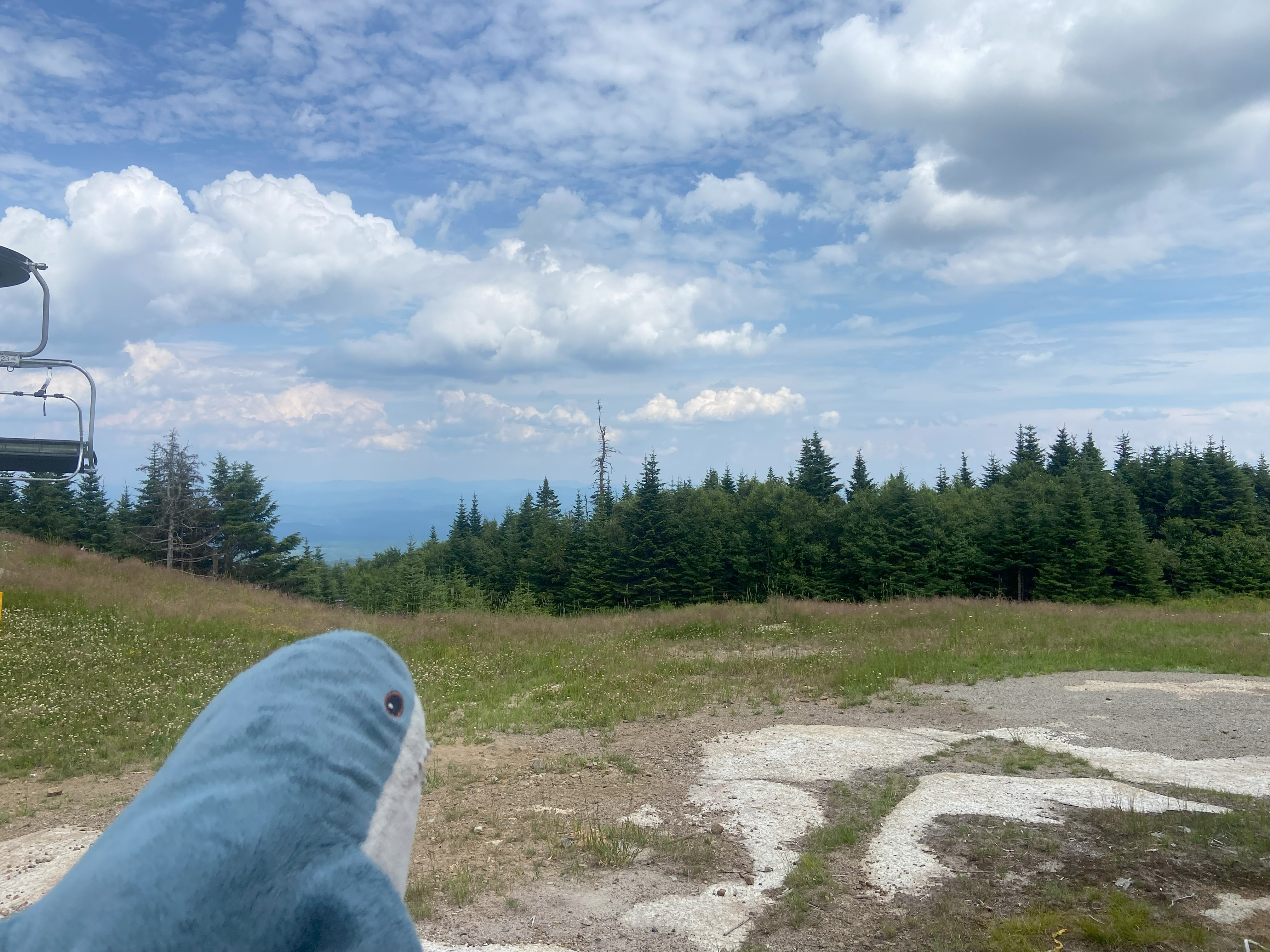
Gore was a mountain I tried to do back in 2020 when I was living near North Creek, and I remember getting to within spitting distance of the summit and getting annoyed at the road and the fog before turning around. I was debating going up from the ski area, cutting off a few hundred feet of elevation gain in the process, but I figured the steep slopes and exposed sunlight would do more harm than good - a wise assessment. It was hot, it was humid, it was rainy, and those things would have sucked outside of the woods. The Shaefer trail is in good condition, especially since I met a crew corridor clearing it on the way up. The summit is alright but honestly worse than other ski mountain fire tower peaks - Burke, Killington and the lot. Overall a decent mountain though!
Wakely Mountain, July 10th
Wakely was one of two mountains that I wanted to do back in April that had roads closed to the trailhead, the other being Pillsbury. I made the assessment at the time that the snowpack would probably be too much to pack out myself in April. Honestly, looking back I probably would have been okay, but I think it was the right call to make regardless. Anyhow, the road to this trailhead is easily doable in a sedan, and the trail is well maintained. The summit probably had good views in the tower, but there was distant thunder and I didn't want to take my chances in an open metal compartment on top of a mountain in those conditions - I like to live
Pillsbury Mountain, July 11th
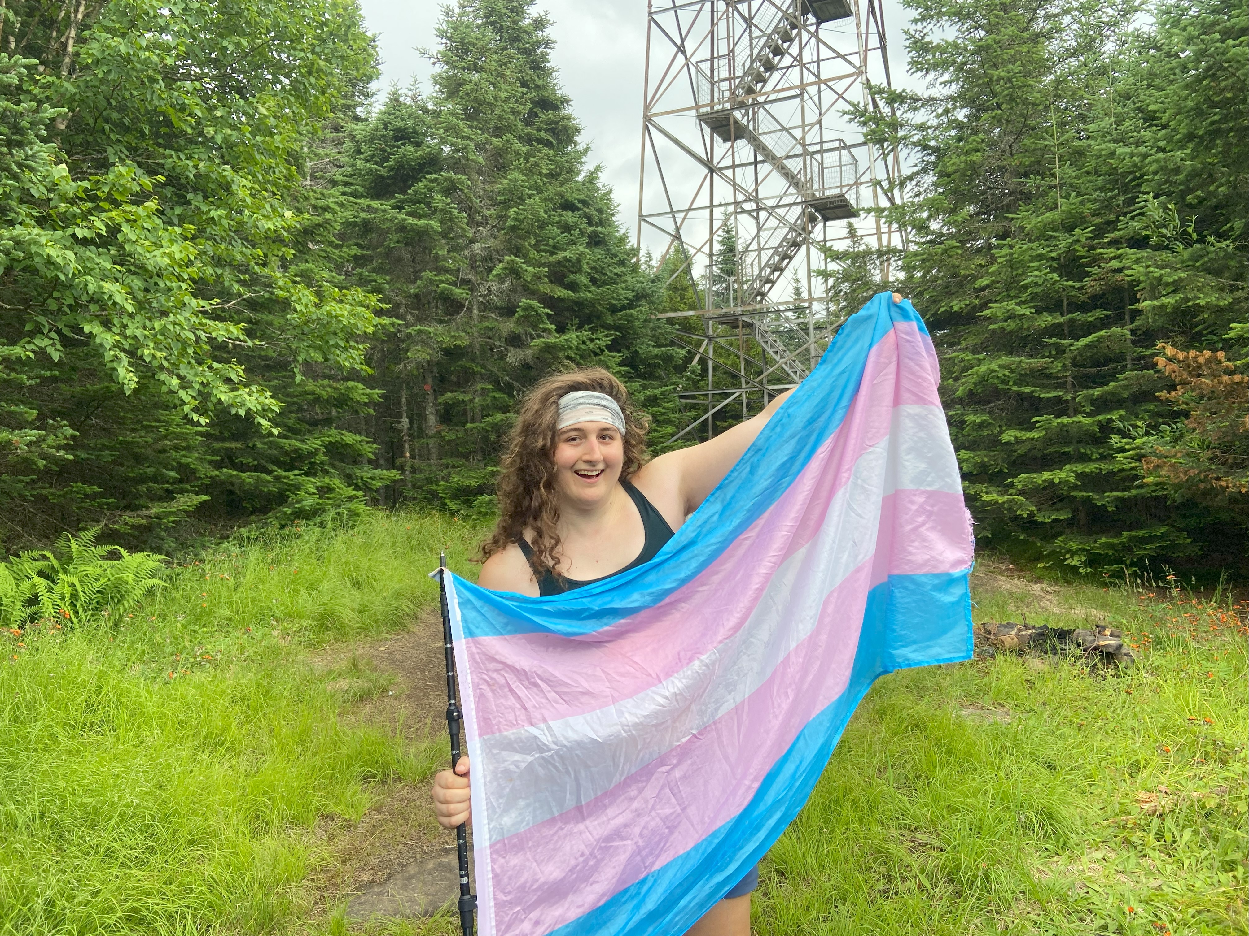
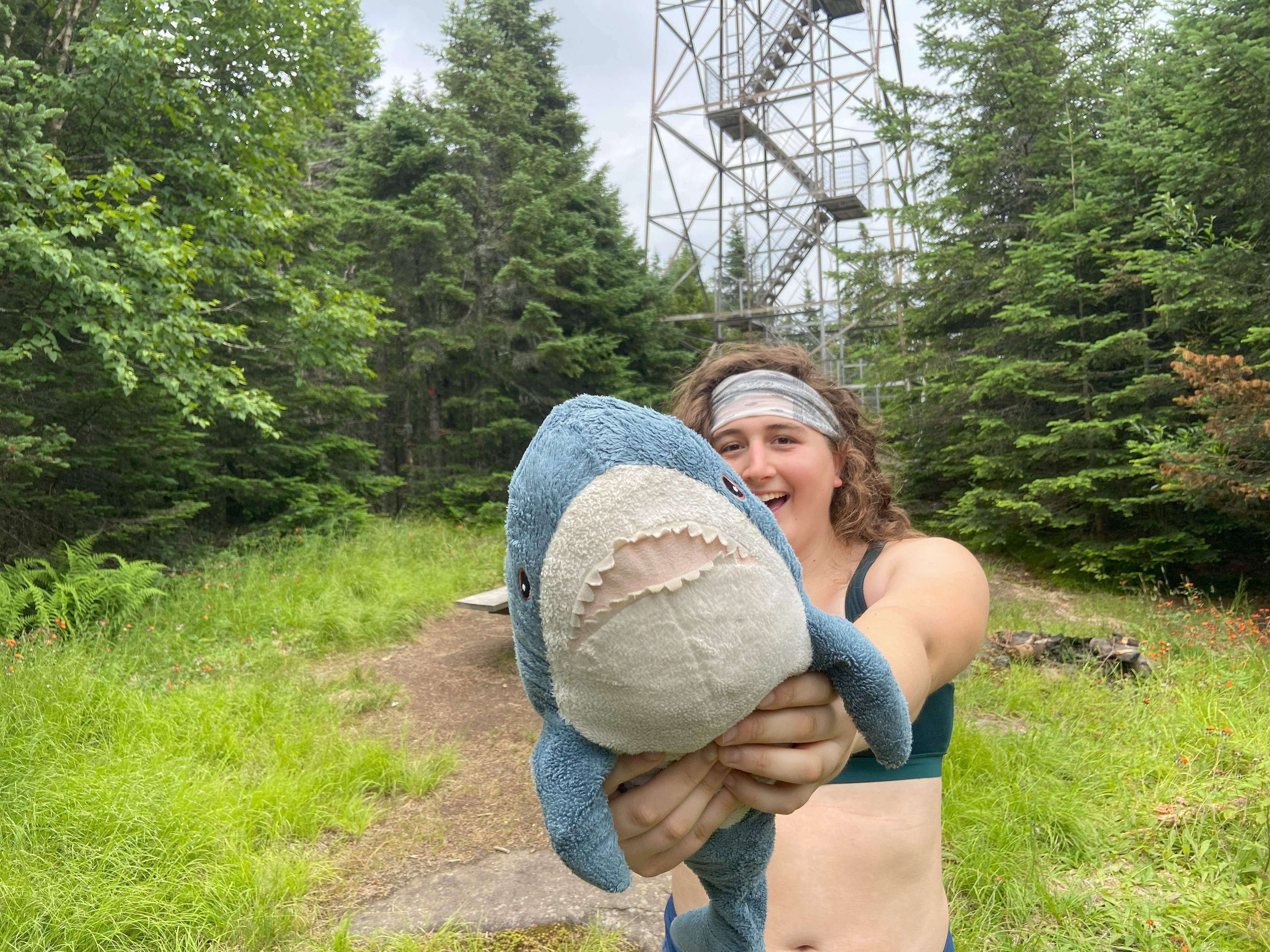
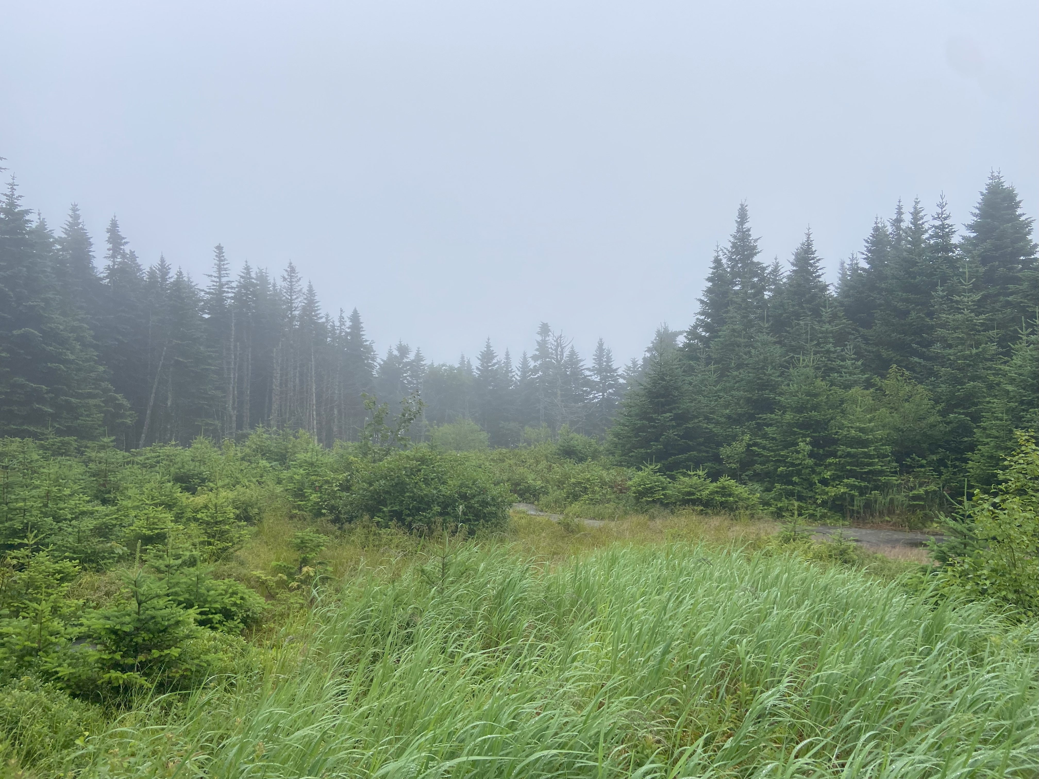
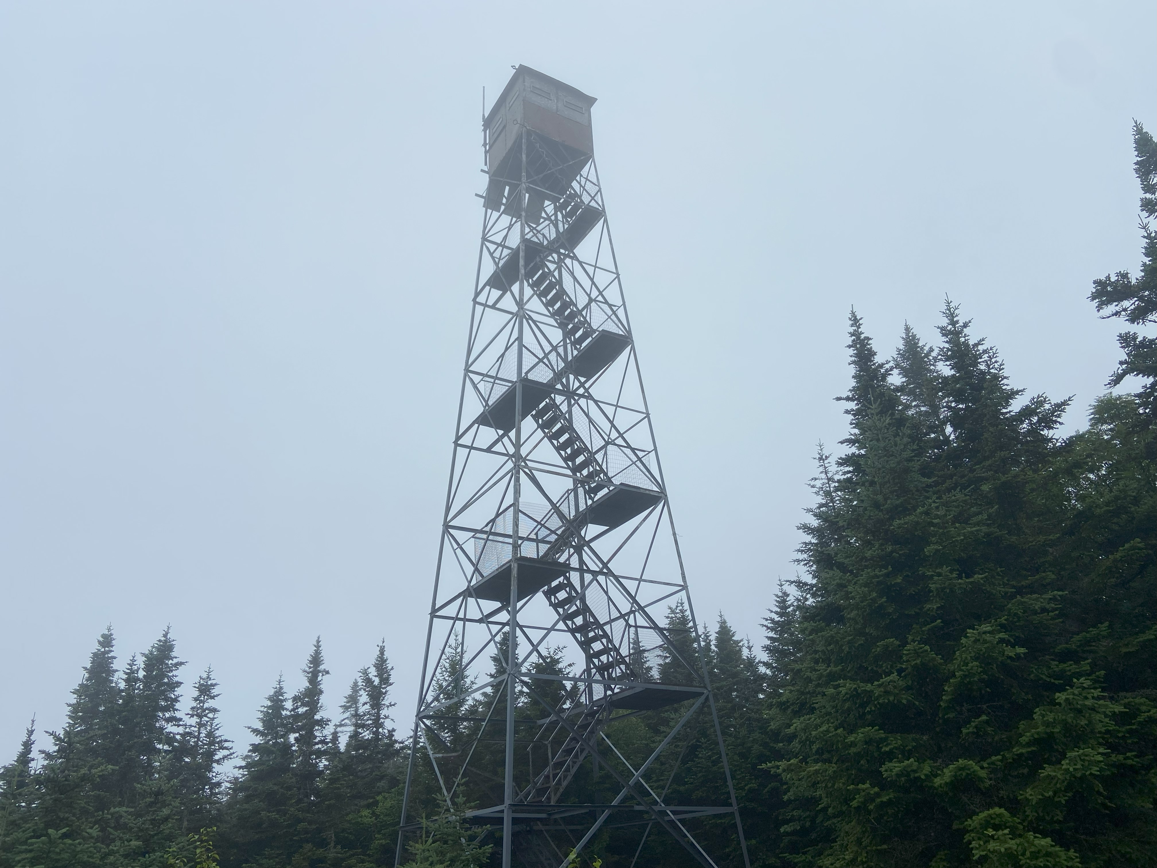
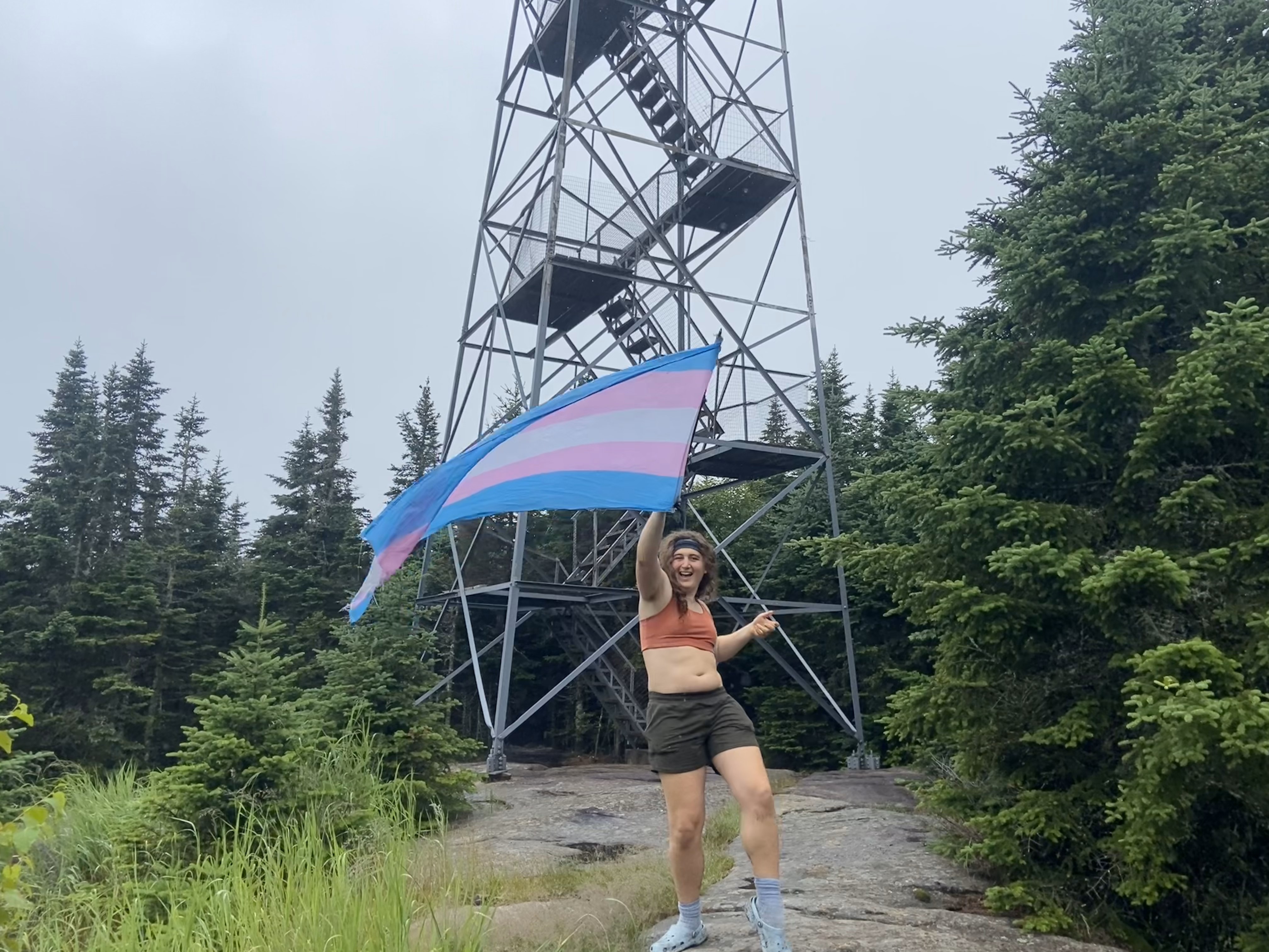
Pillsbury was one of two mountains that I wanted to do back in April that had roads closed to the trailhead, the other being Wakely. I made the assessment at the time that the snowpack would probably be too much to pack out myself in April. Honestly, looking back I probably would have been okay, but I think it was the right call to make regardless. The road to the trailhead is easily doable in a sedan - to include military road. Sometimes people say a road needs 4wd and you can't tell if they're a city slicker who's full of shit or someone who knows what they're talking about. People talking about Military road to this trailhead saying it needs clearance are city slickers who are full of shit - the Cowpens effect. Anyhow, the trail is well maintained and it was nice to finish on a delightful mountain. 33/33 New York fire towers baby!!! This is the fourth major official list that I've done as part of my projects so far, and I can't wait to soon finish my next one!
East Mountain, July 15th
Getting to this mountain was an adventure. I read previous reports and decided to drive on Radar Rd from 114, which starts with a bunch of private property signs that caused me to stop and reassess. After seeing three cars blow by me, I figured that since I knew this was a popular adventure for the locals, I would probably be fine. And wow, I've never seen a road change so much back and forth: it's paved, then it's dirt, then it's 2-track, then it's paved, then it's dirt, then it's super well maintained dirt. Usually dirt roads are consistent or slowly deteriorate, but this one just doesn't know what it wants to be. The whole thing is doable in a sedan, but there are some ruts due to recent flooding that might make for some careful maneuvering. Additionally, just after the junction with John Irwin Rd, there is substantial rutting heading up Radar Rd as well as the final section of John Irwin Rd. Considering this is clearly an abandoned area, I don't expect these issues to get fixed, so you definitely need high clearance and 4wd to drive up either of these roads past the junction
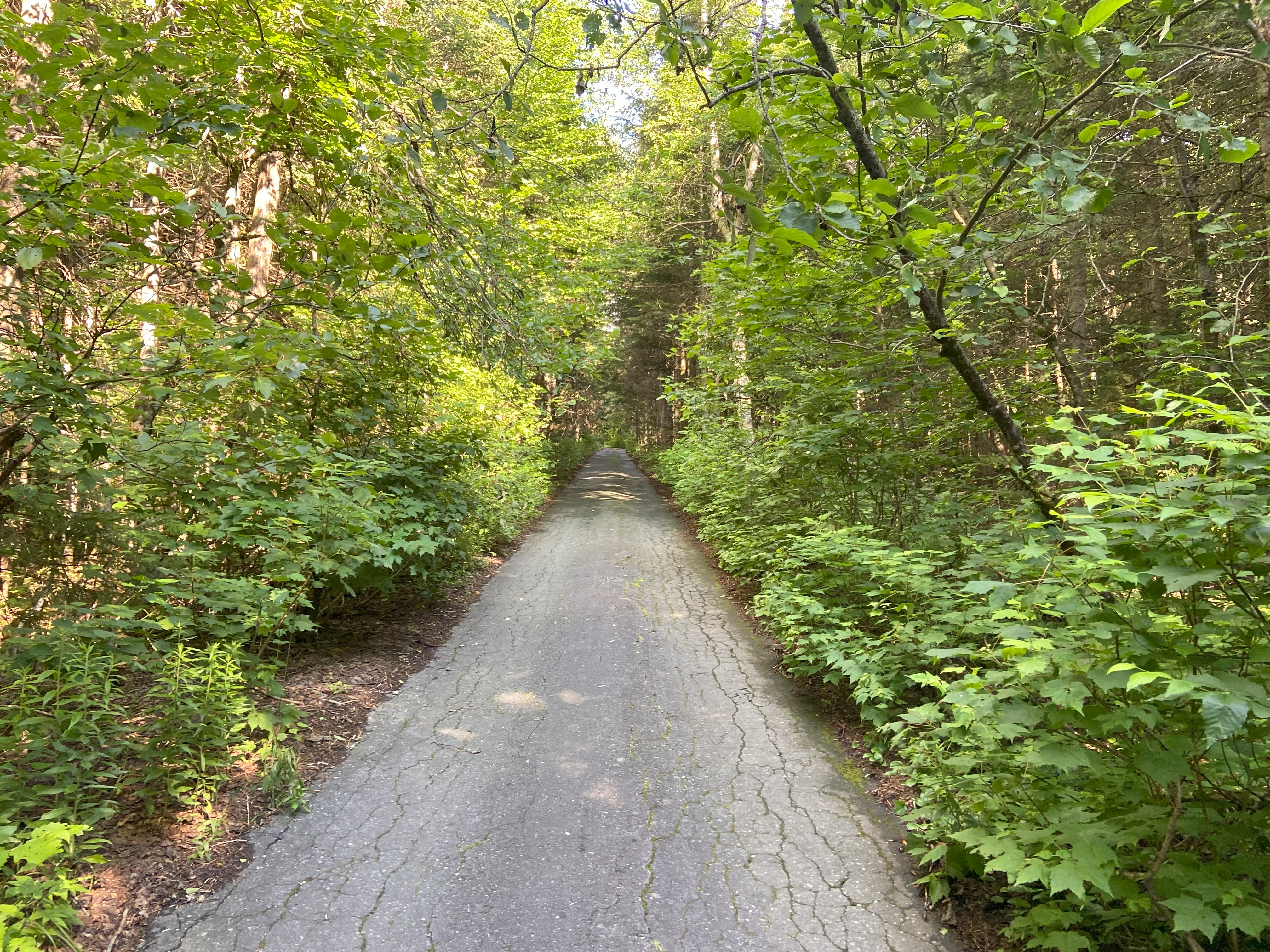
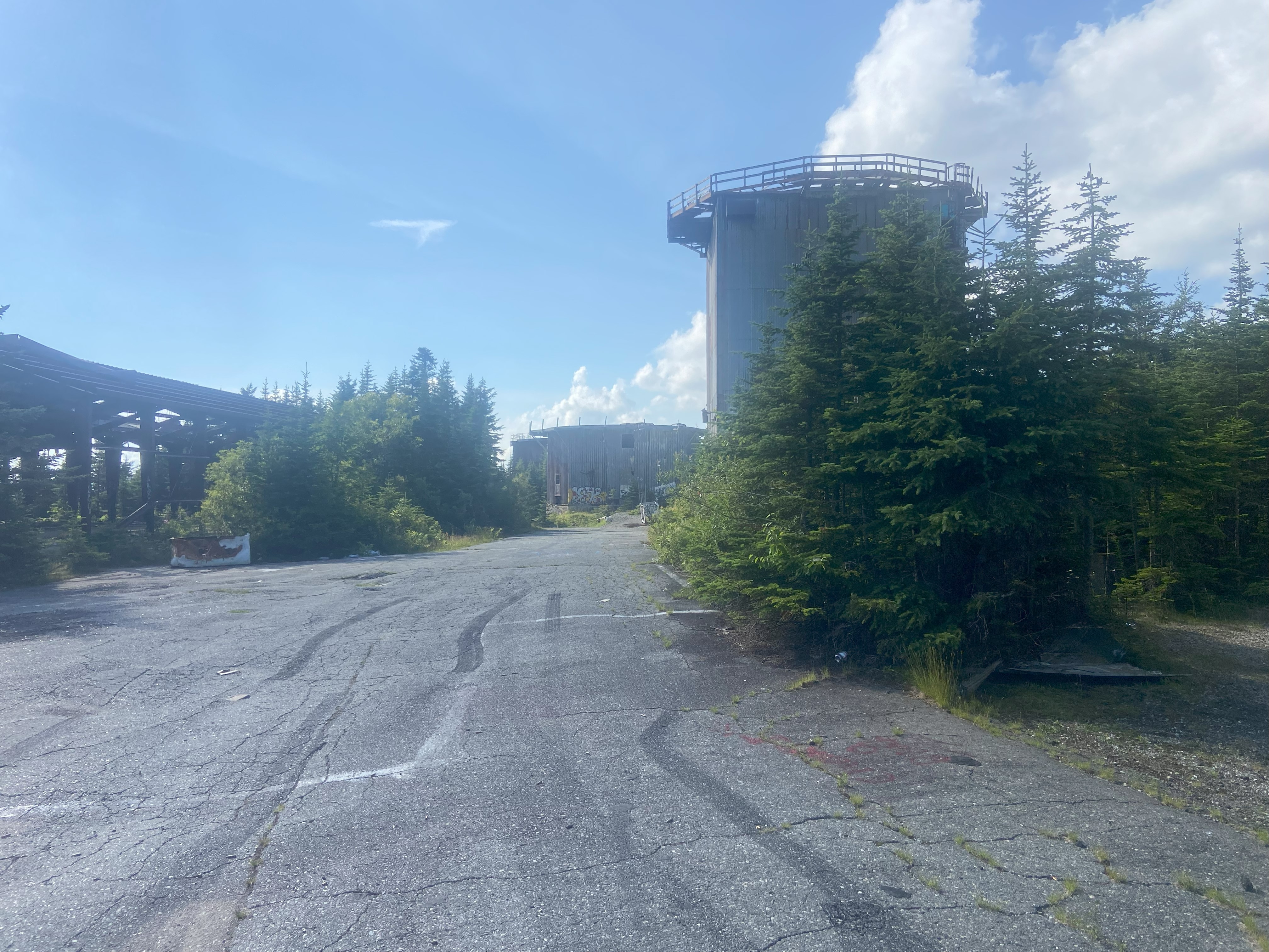
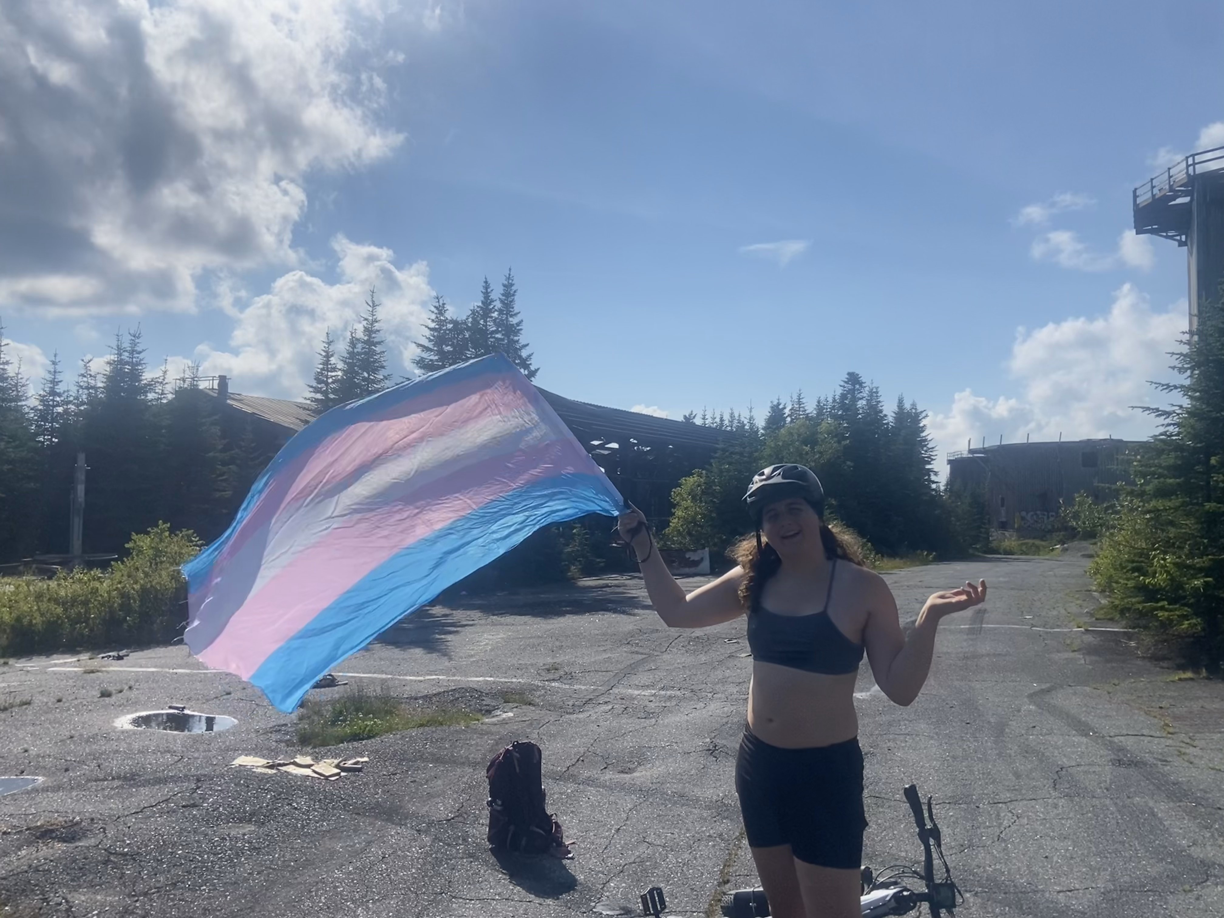
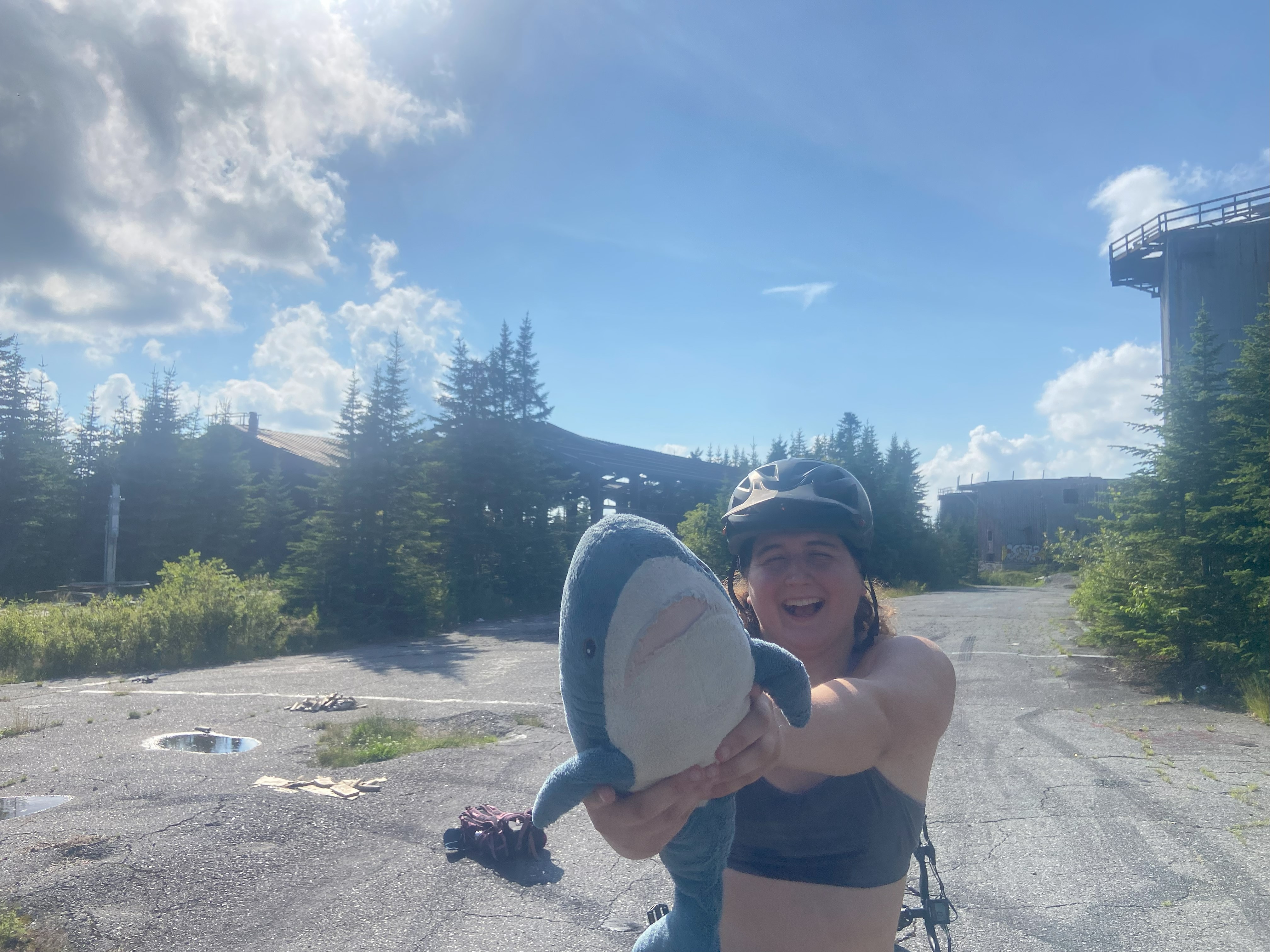
Anyhow, after this, I called it in my van and biked up the rest of the way. Most of Radar Rd up to 2200ft is dirt and of decent quality, but where it's bad, it is quite bad. Then the funniest thing happened: the corridor significantly narrowed, there was a huge boulder blocking the road that people drove into a floodplain to get around, and then it was paved and good quality the rest of the way up. Roads only last like 30 years, maybe 40-50 if there's little-to-no traffic, which means that since this road is in good shape, all of this craziness must have happened since I've been born, which is crazy. Anyhow, the bike up was hard but fun, and the installation at the top was weird. I hear you can climb the structures, but I would recommend against that for safety reasons. I got my photo, headed down, and headed out. I would have never done this peak if it wasn't a P2k - take from that what you will
Mount Hor, July 16th
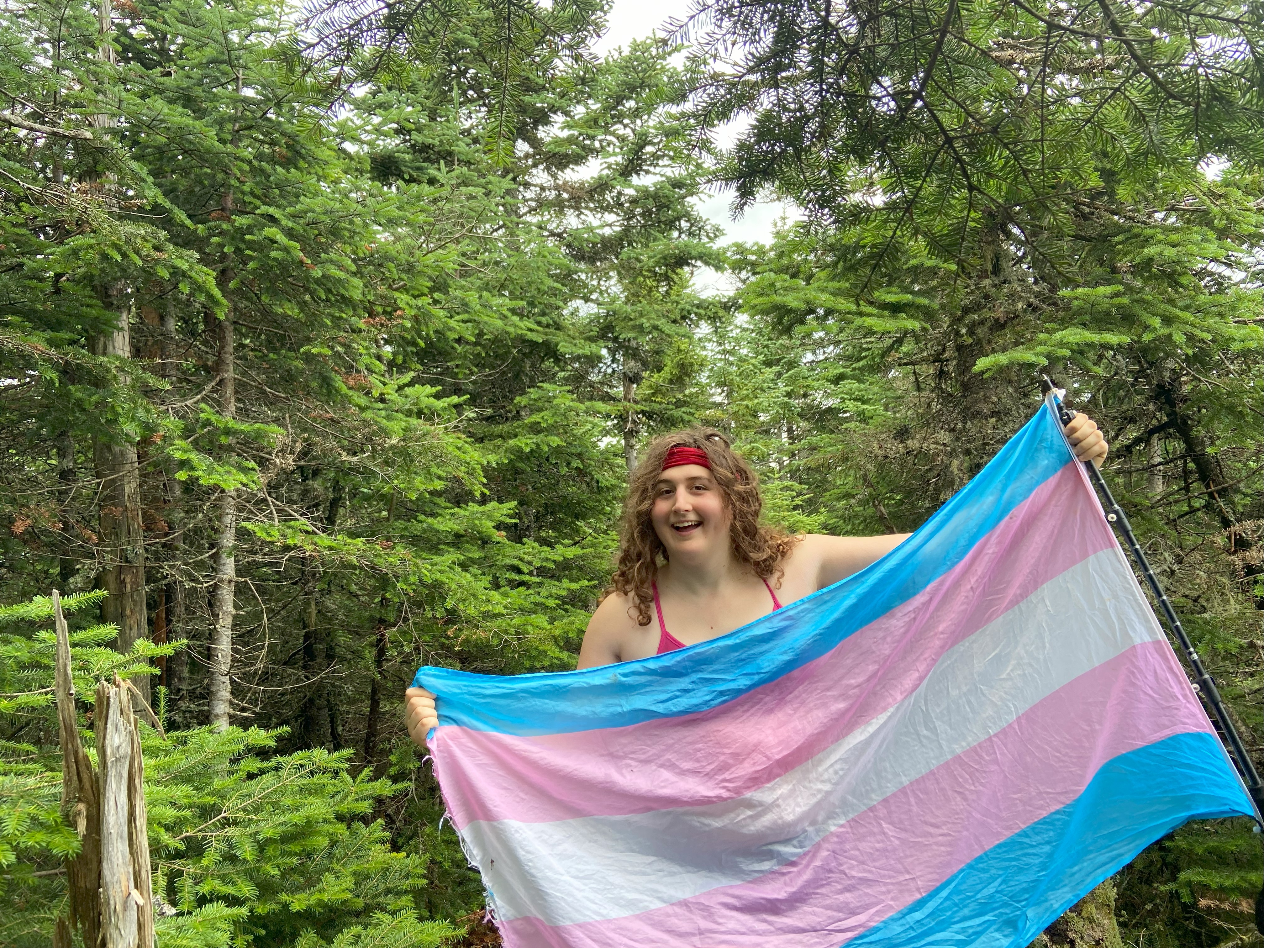
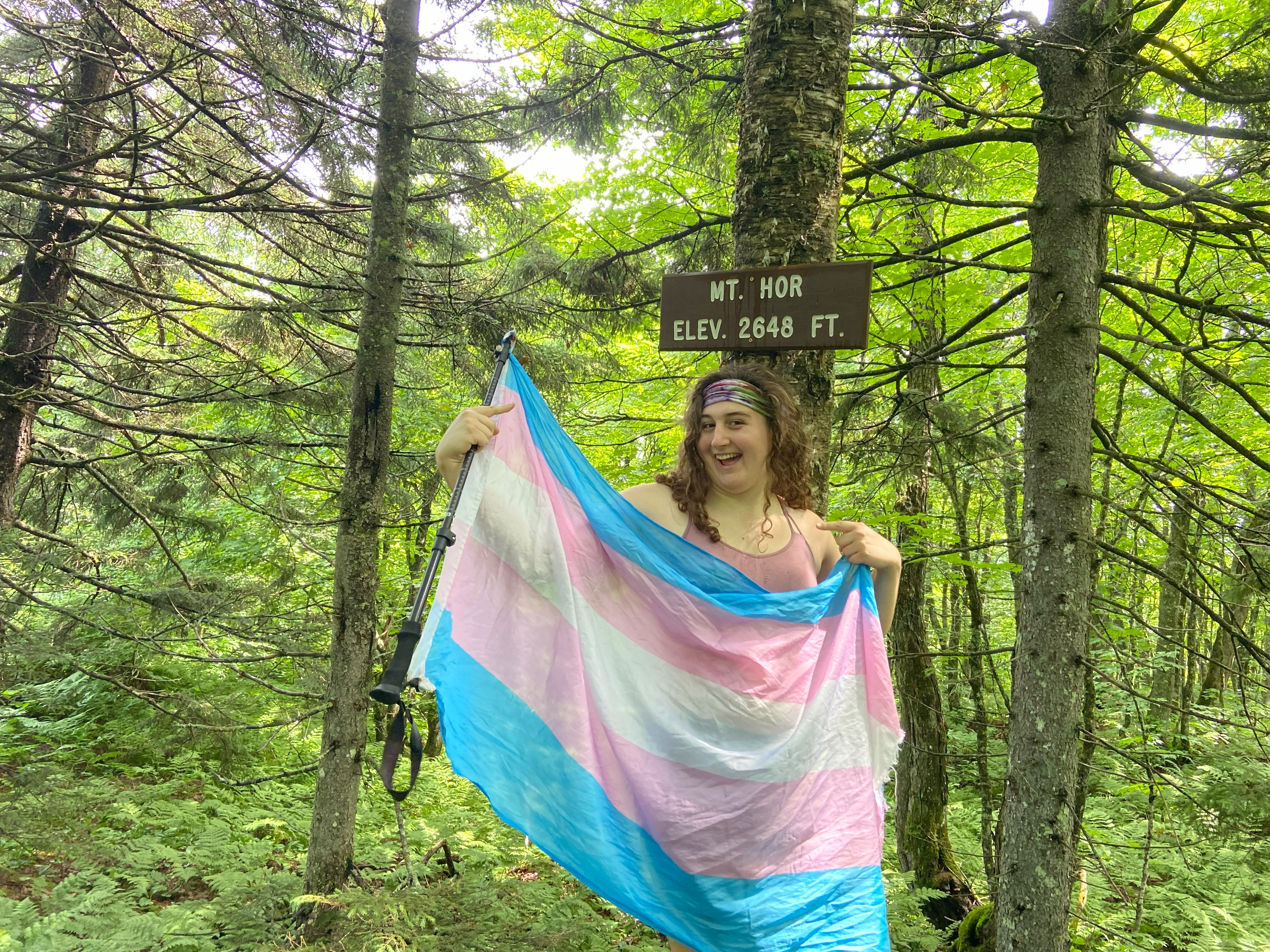
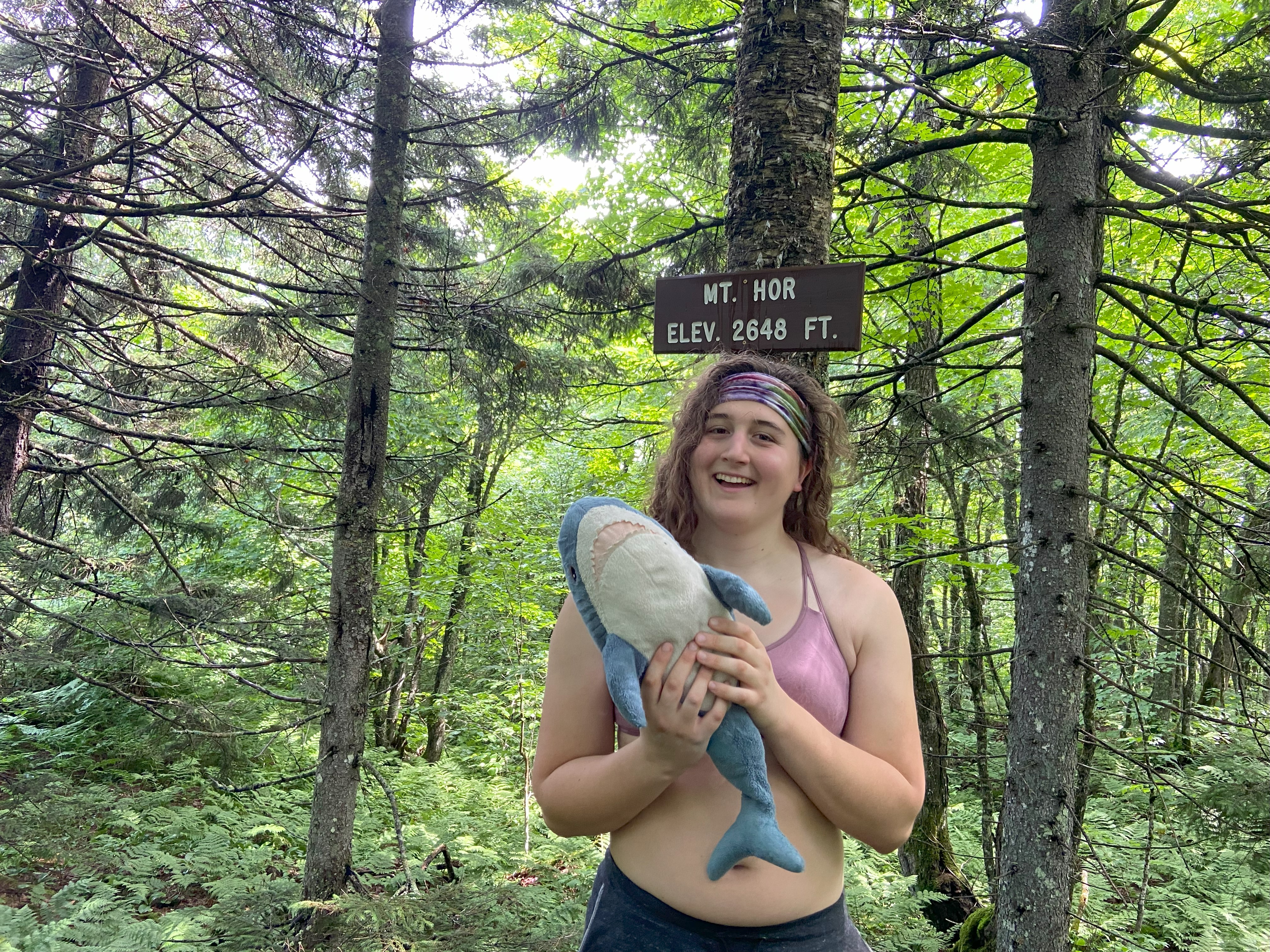
From the CCC road, Hor is a simple walk up a decently maintained trail to a summit with no view. That being said, there is a summit sign, which makes for great photos ;)
Mount Putnam, July 17th
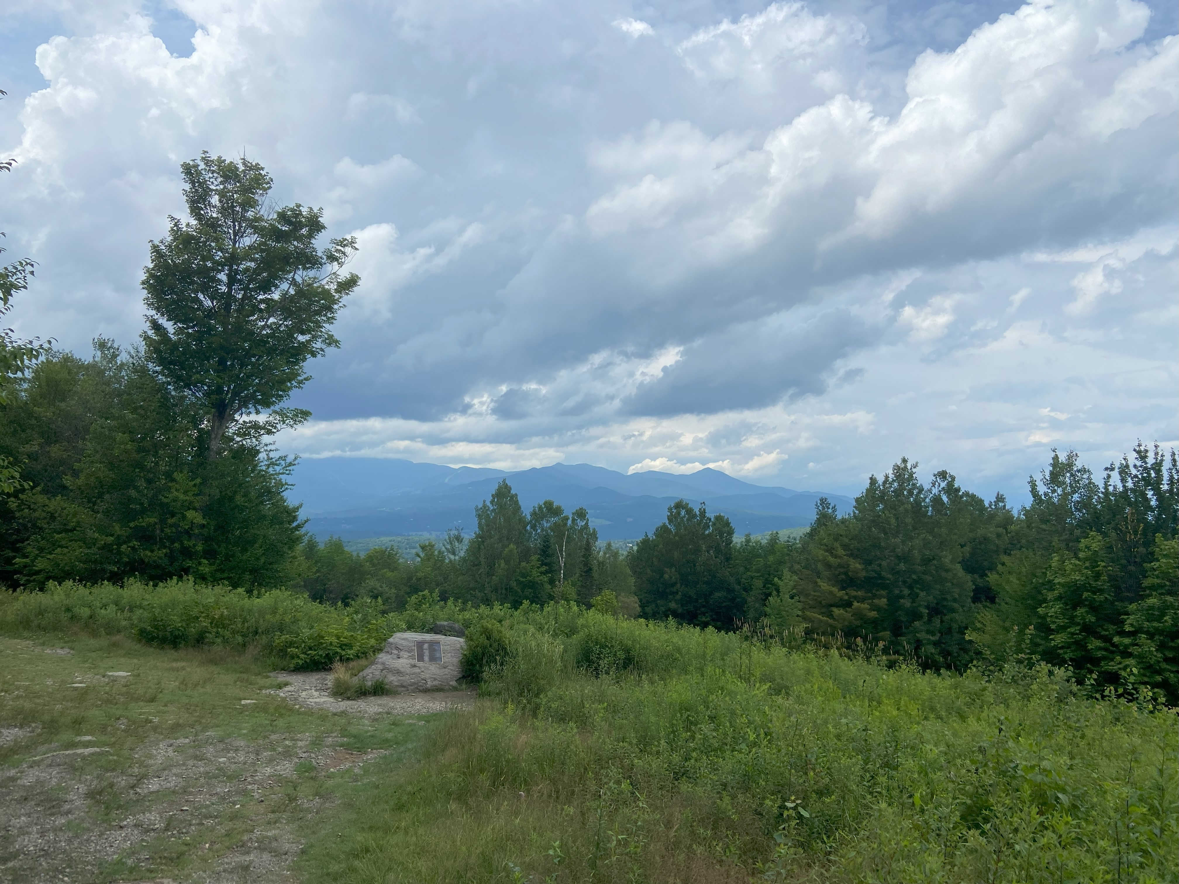
Originally I was gonna do Putnam from Middlesex and do Hunger with it, but I was simply to tired, and wanted to try out the Pinnacle Meadows trailhead to cut off some elevation. The road up to the trailhead is decent although there has been significant flooding recently here which has led to some washouts along the sides. That being said, this seems a popular enough hike with a good enough trailhead that I expect the road to be repaired in the next few months. The road starts out as a path you can bike up to the outlook, which is very pretty. Immediately reentering the woods, you have the option to take an abandoned trail to the left, which I took both up and down and found to be decent if muddy. Anyhow, the way up to the ridge was agonizing and I definitely need to give myself more zero days to physically recover and whatnot. The summit was wooded but cozy, and the way down was great except for some knee and foot aches
