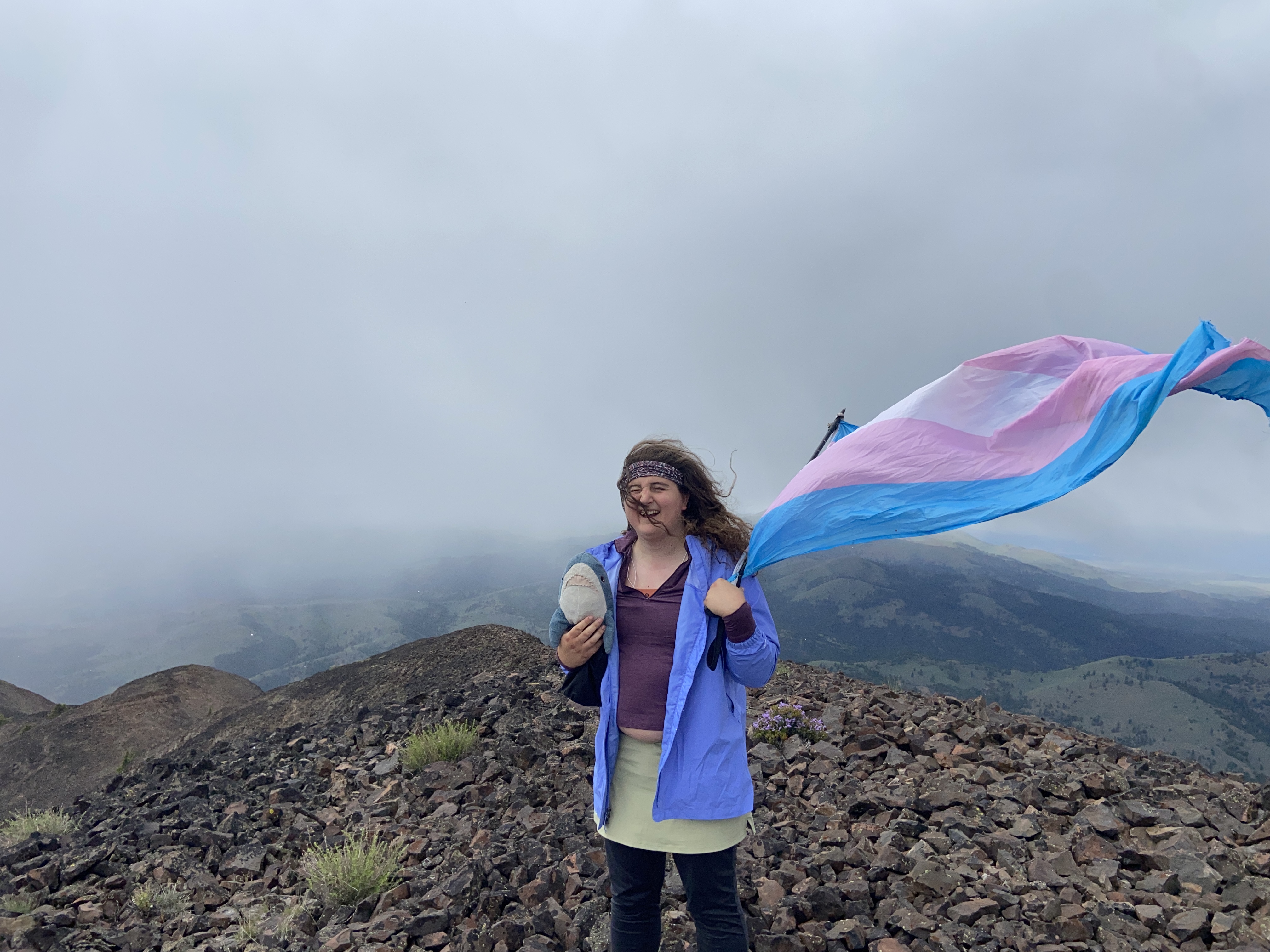
Junetime: June 2nd-June 30th
After the challenges of May, I took a while to ease myself back into hiking, since stress takes time to recover from both emotionally as well as physiologically. Anyhow, I eventually got back in the saddle after doing a pair of peaks in the cascades and decided to head out toward the Blue Mountains to hike for a few weeks. I knocked out two of the mountains I had been wanting to do last year but couldn't due to weather/wildfires. Things were going great, and I then tried to take a lesser done path up Lookout and failed miserably due to literally thousands of downed trees on the trail. I then tried to go up Bullrun but a tree down prevented me right at the start of the road. Pretty sad tbh, and I decided to just go back home and do shorter trips to the Cascades and Coastals, since driving ten plus hours to hike in Eastern Oregon was just as onerous as doing the same in Northern California. So I reoriented myself to try and hike there
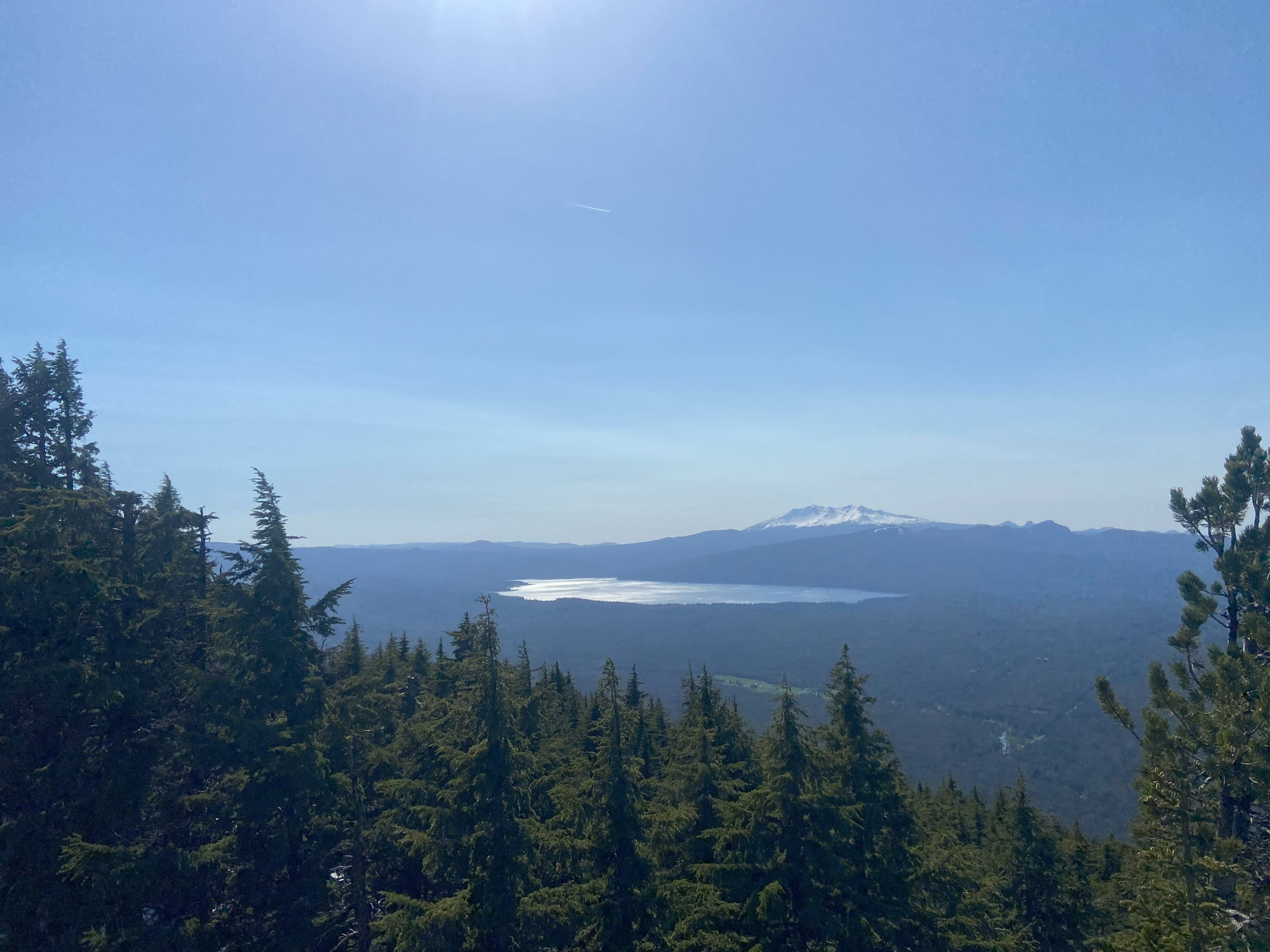
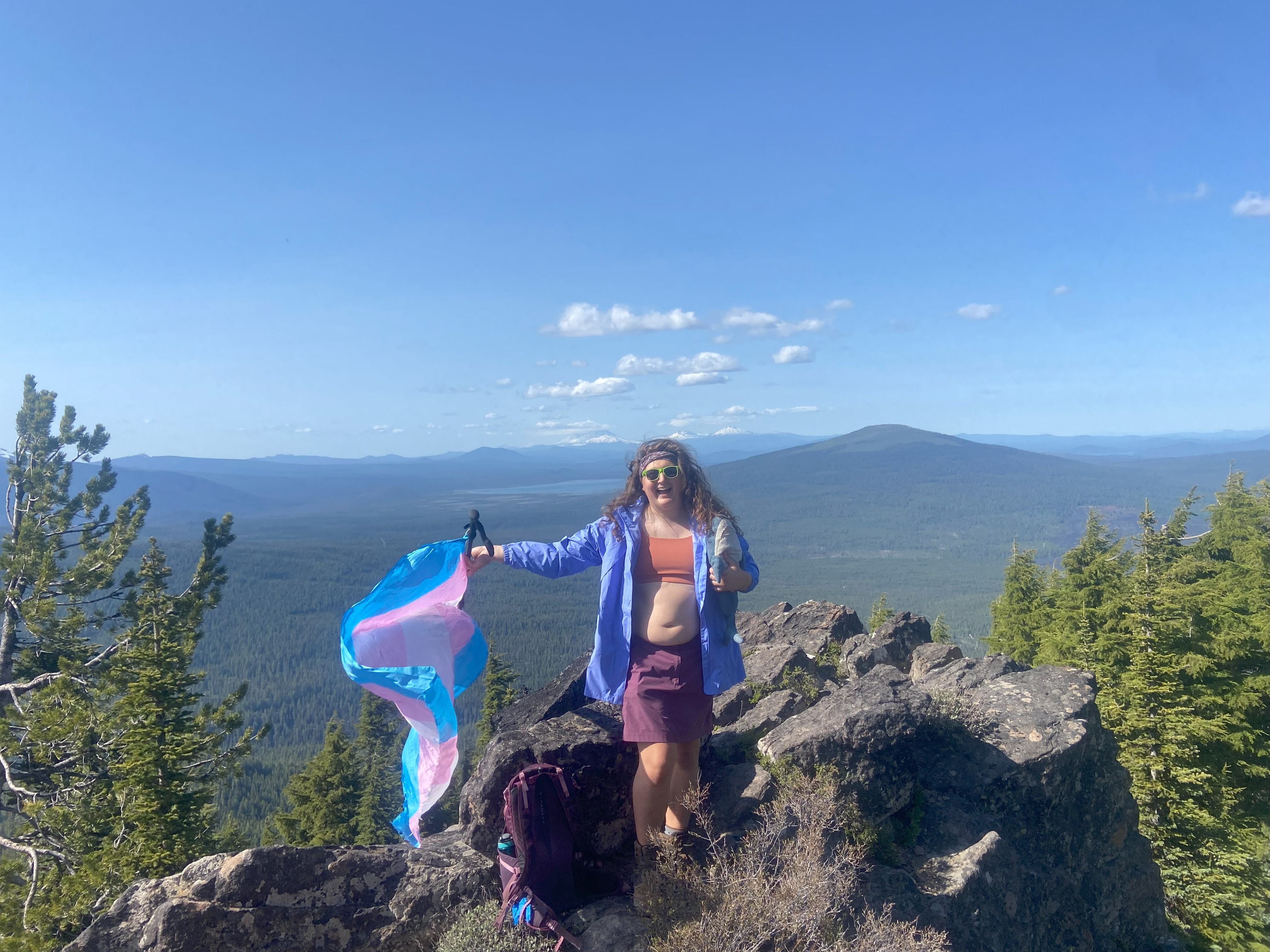
Odell Butte, June 2nd
Odell was driving along the well-maintained dirt road to 6500ft where the gate is closed and then walking up the rest. The views were spectacular, the foliage was fascinating, and it was a good hike, clear of snow :)

Mount Tom, June 10th
Gotta say, this peak is pretty disappointing. Eugene has nearly half a million people living in the area and this is the closest major mountain. There could be multiple hiking trails leading up a state park or protected forest, or at leasta nice lookout at the summit. But no, not only is it just a dull dirt road up, but the summit itself has been destroyed by mining. This peak had so much potential but apparently private property is more important than collective good. Tom is a relatively straightforward drive that is easily doable in a sedan. Starting from McGowen Creek Road, you'll keep going until you see a fork in the road - go left. I went right and was able to make it back to the main road but if you choose that path, have a high-clearance vehicle you don't mind being scraped up. You'll turn onto Mt Tom Rd until you reach a t-intersection - head left. Eventually you'll be greeted with a locked gate at around 100ft shy of the summit. If you proceed, you'll find the aforementioned mining site where the summit used to be. Personally, I think 100ft shy for a peak of this caliber is fine, so I just got my photos and headed down without bothering since it was a weekday and I didn't wanna run into some uptight middle-management figure angry at me for trespassing
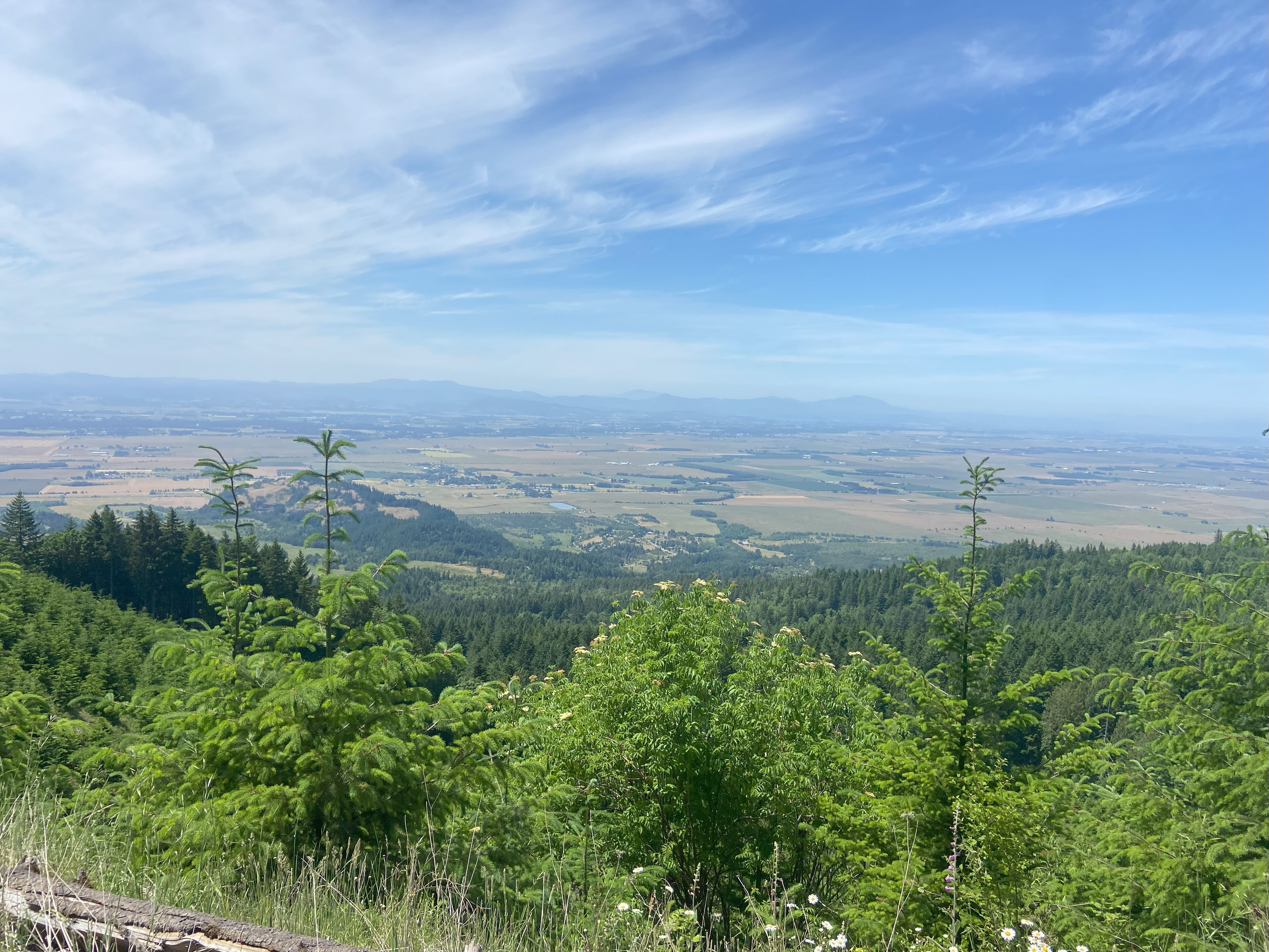
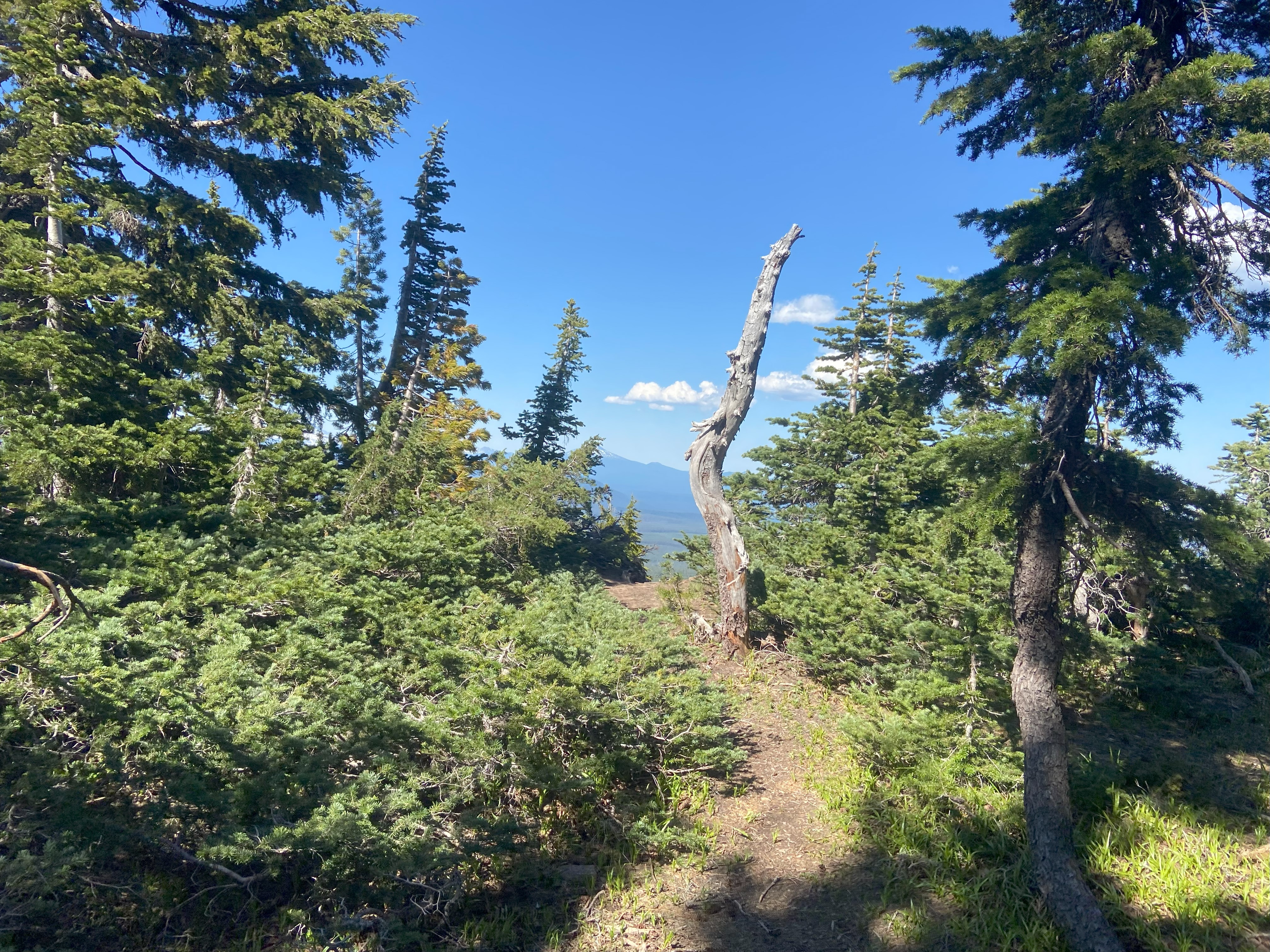
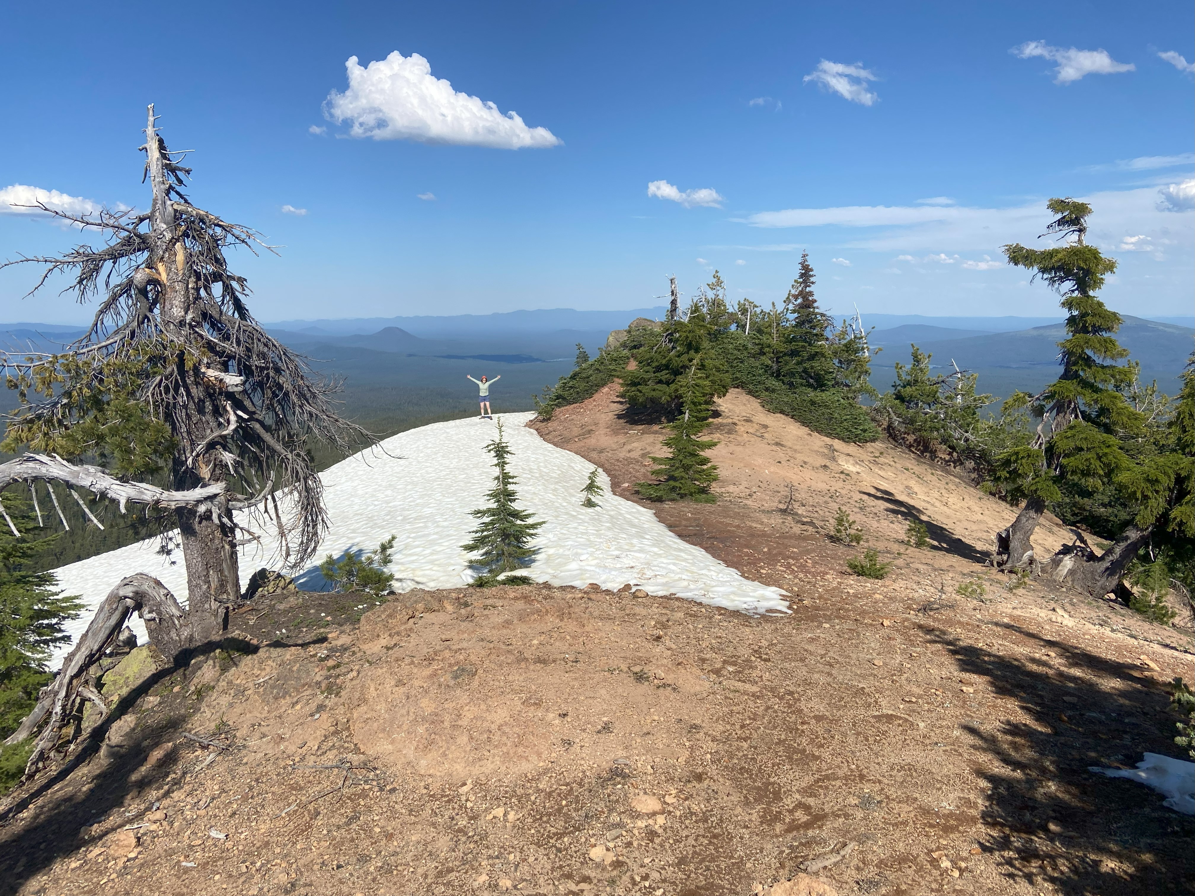
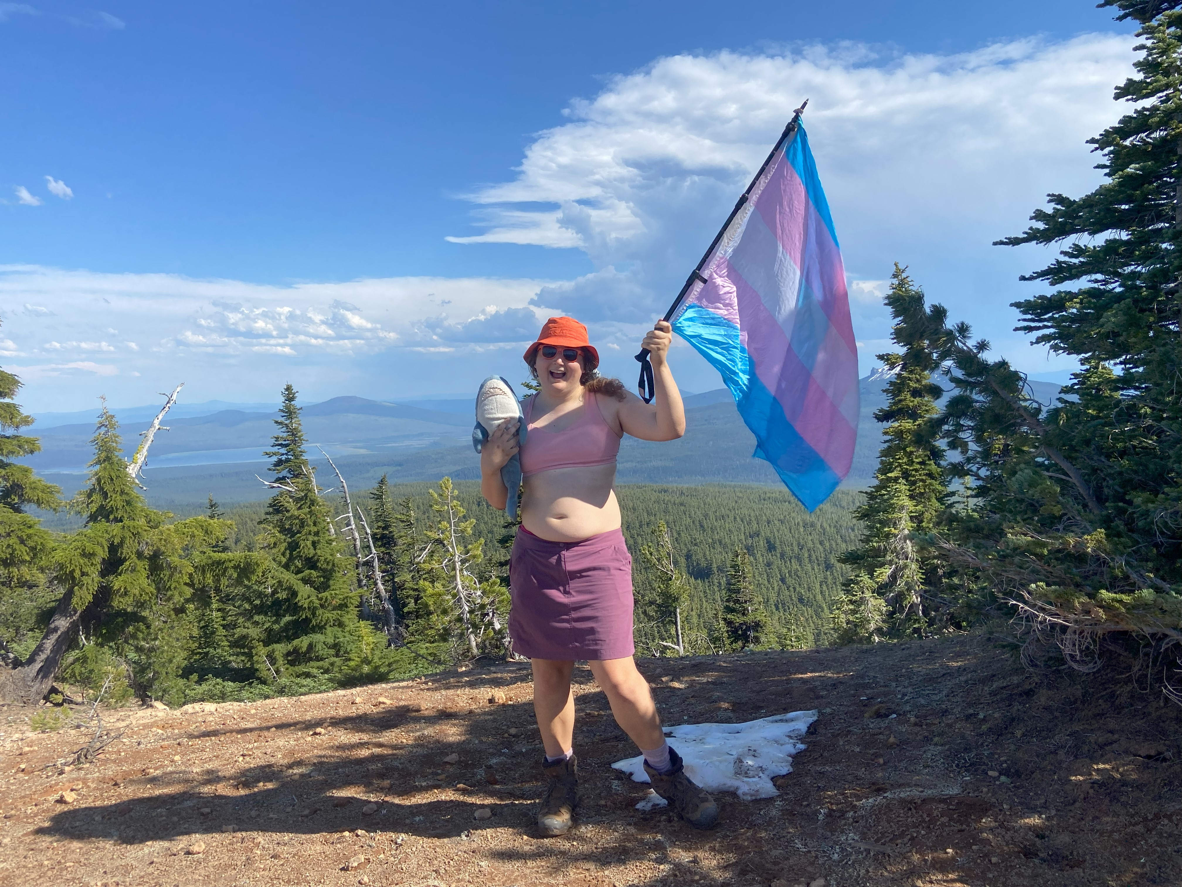
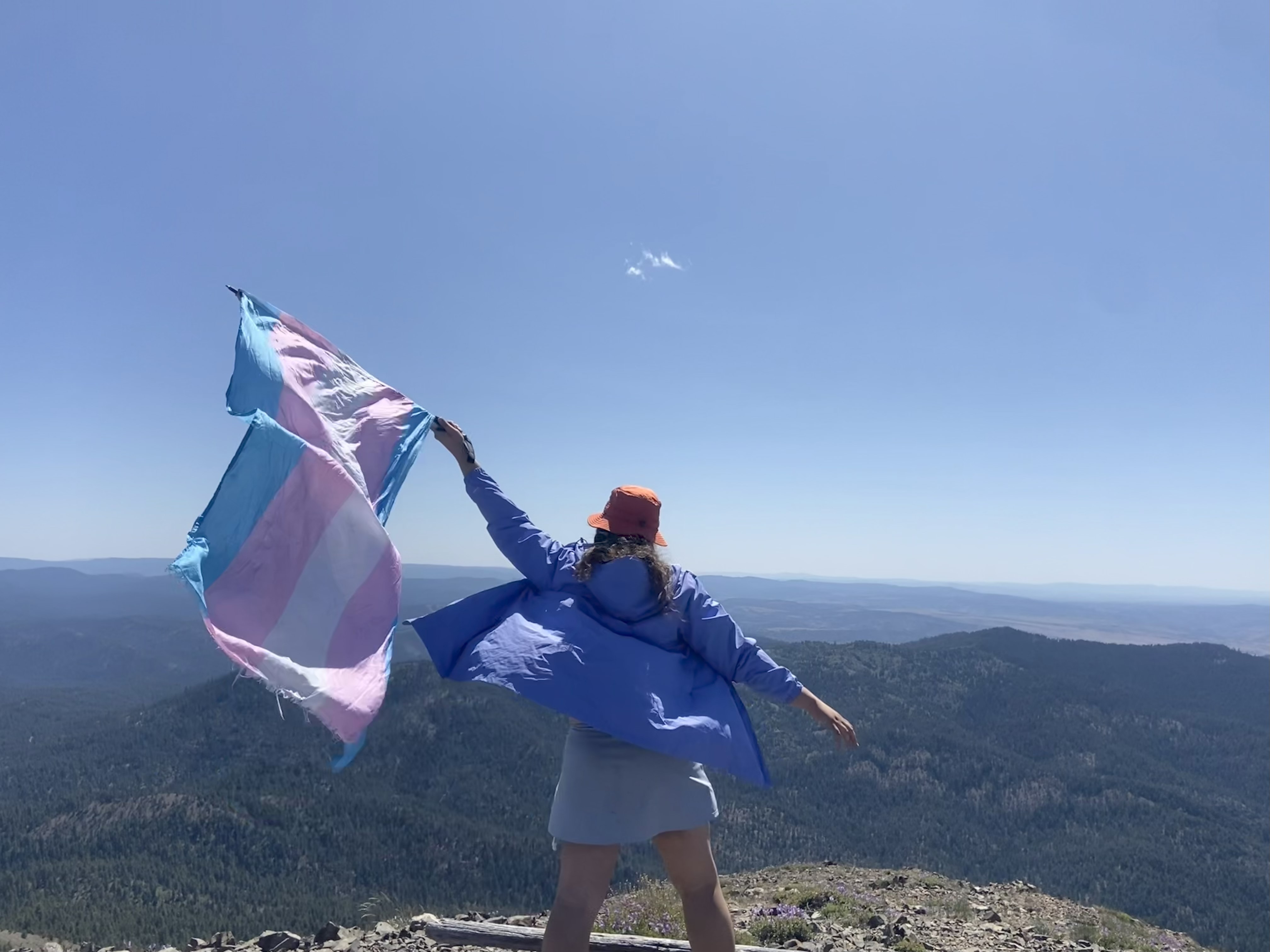
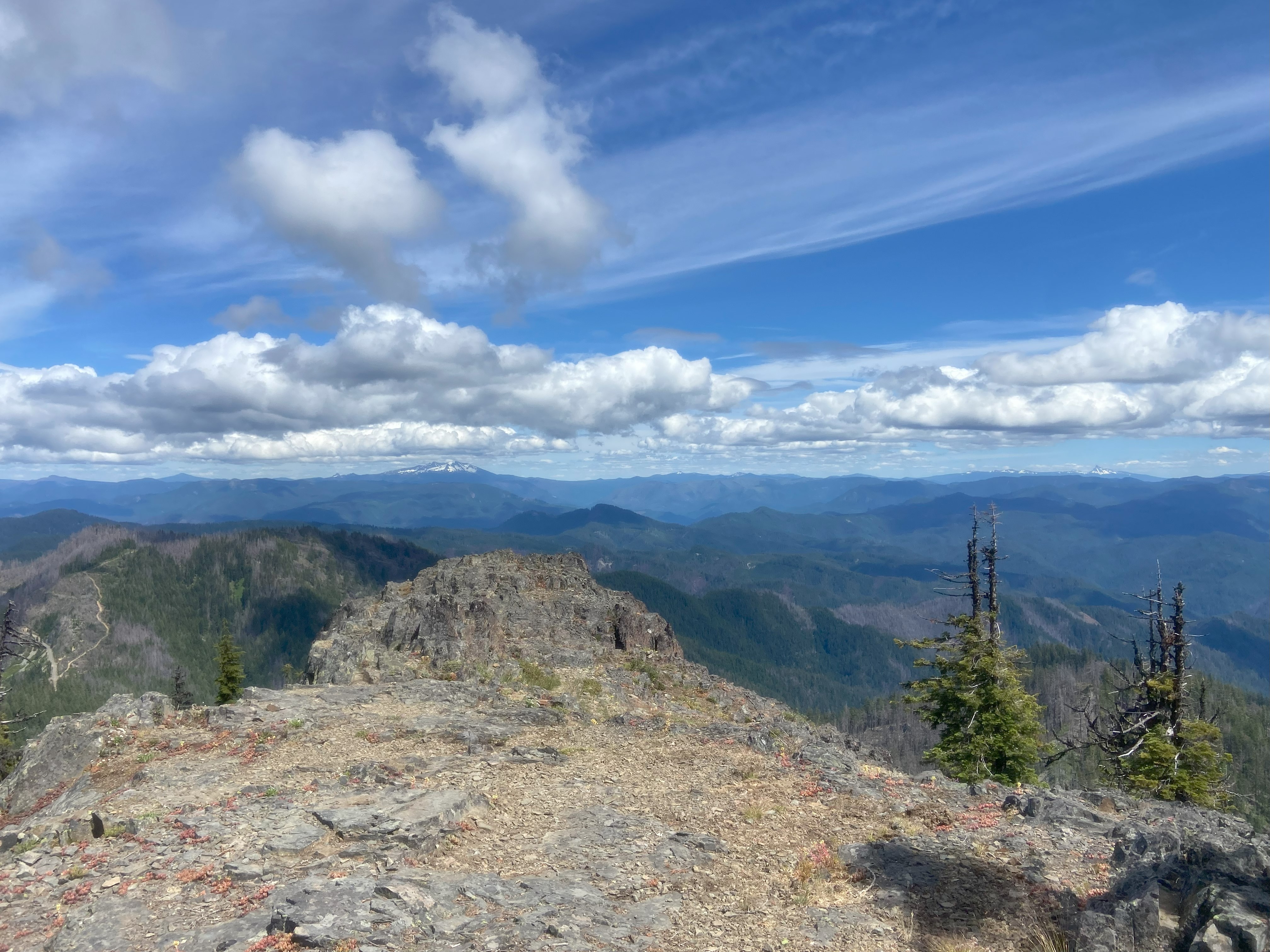
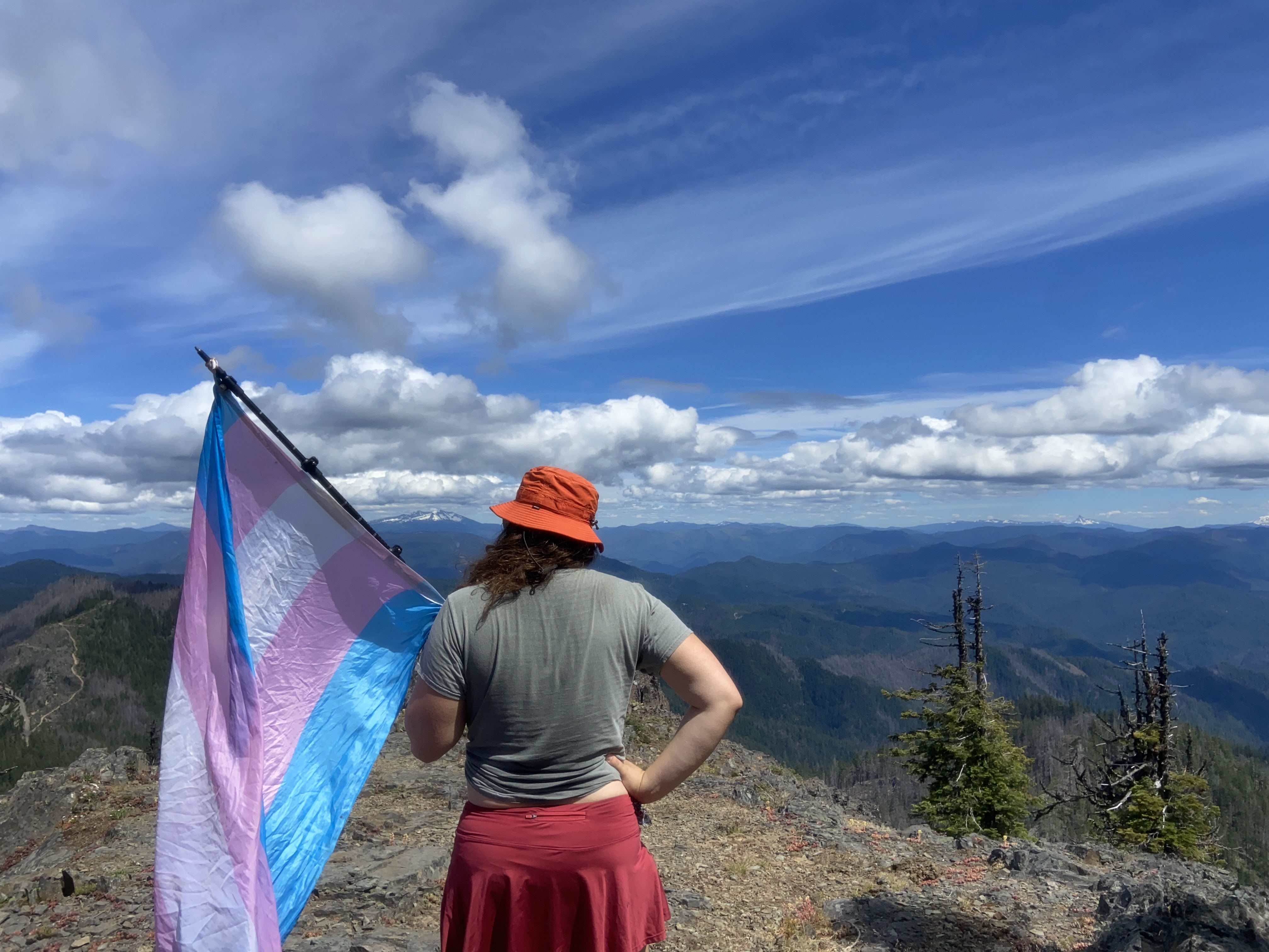
Fields Peak, June 18th
Fields was one of the peaks I wanted to do the previous fall, but couldn't since the access was closed for wildfires. I considered doing it in November but I judged it too challenging for where my body was at with the snow and whatnot. Then I camped at the campground before the dirt road two nights before this and didn't climb due to poor sleep. So you can understand my excitement when I finally climbed it! I took a wrong turn at the second intersection leading up to the trailhead and ended up parking my van and biking up some rough roads up to the trailhead, and was frustrated a little ngl. Although on the bike back there was some pretty significant erosion that might make accessing the trailhead challenging in a sedan - although it is just that one section and I would expect them to regrate a road like this. Anyway, the hike up was delightful and I meandered my way up at about half the pace I'm used to as I get myself into shape for the summer - although my descent speed is the same, go figure. I ended up walking up the meadow to the summit to avoid some snowbanks on the northeast slopes. Fantastic views all around, would recommend
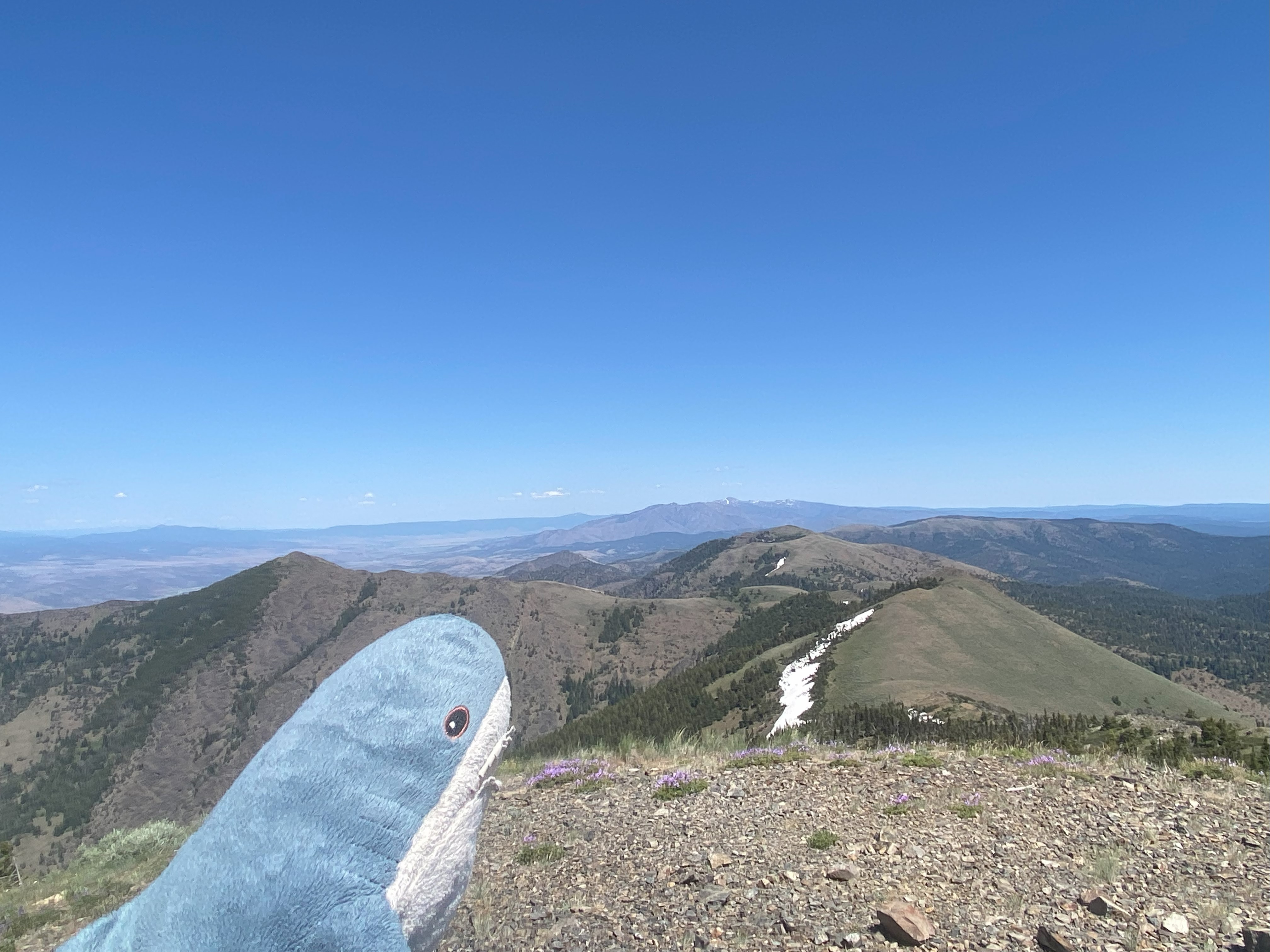
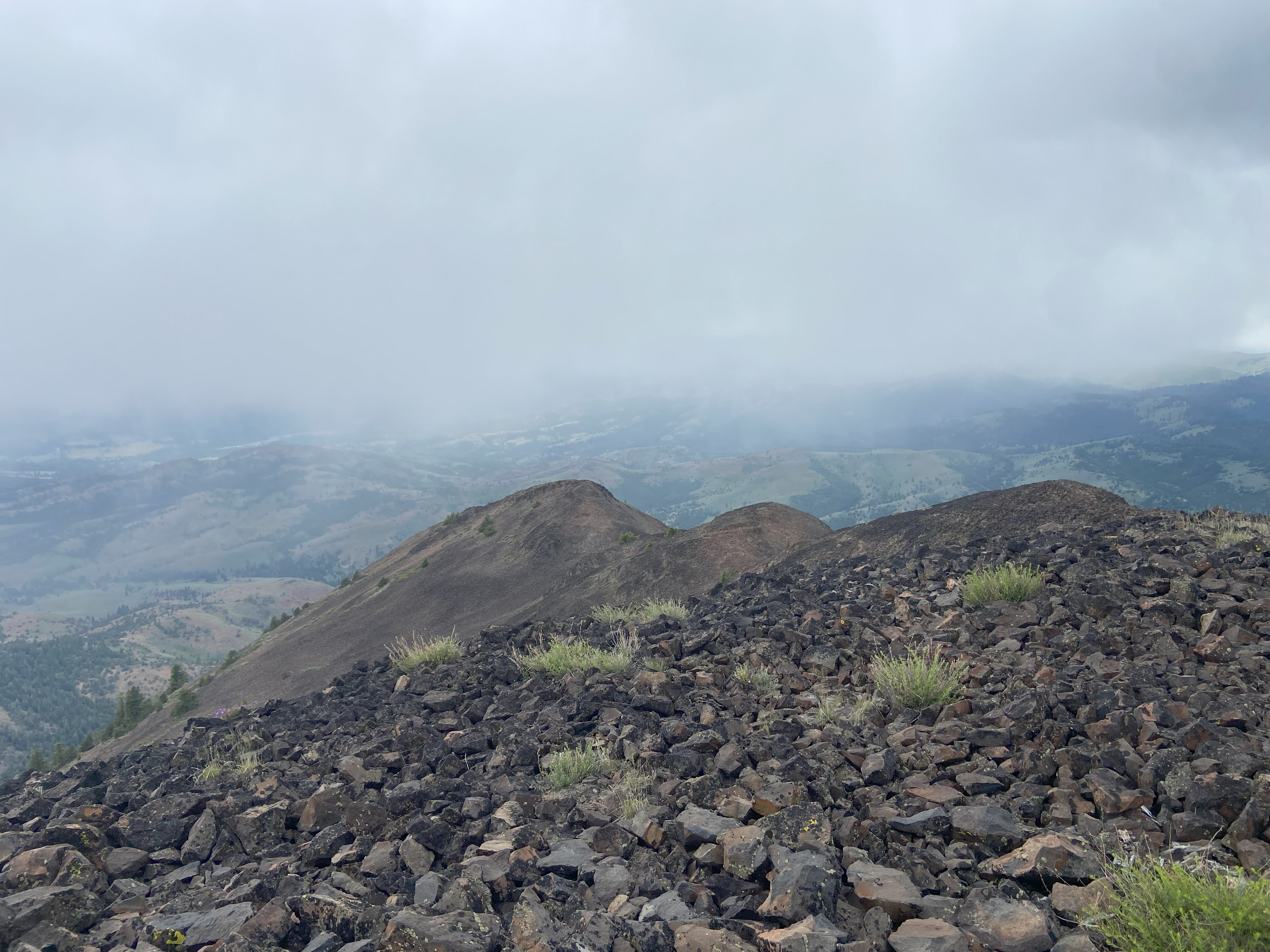
Ironside Mountain, June 20th
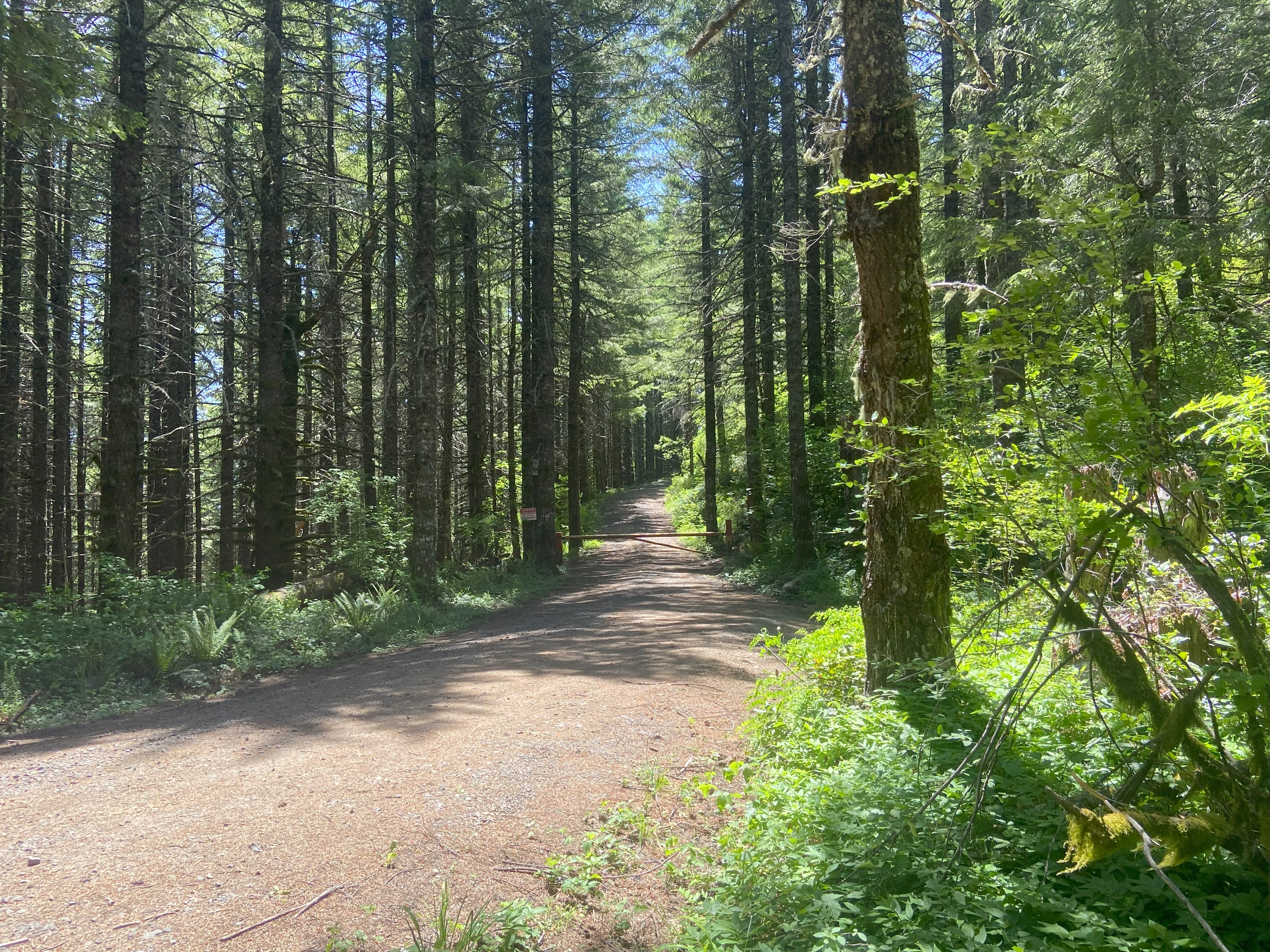
Ironside was a mountain that I wanted to do last fall as part of my 'Long Covid List' and nearly did do, but it started to rain that morning and I was worried that the approach would get hazardous to drive on if it was muddy. Having driven said approach from highway 26 and then NF16 to NF1684 to the junction with the spur road, I can say it's totally doable in a sedan, and doable in light rain and mud. Cosmic irony determined that I would have the same weather conditions here that I avoided last fall! Rainy with light snow toward the summit. It's funny, there were strong cold fronts I dealt with in Mid june while hiking in both 2022 and 2023, and I got one here again too - much better than that blasted heatwave in 2024! Anyhow, the road past the junction in high-clearance, 4wd, and I honestly wouldn't recommend it unless you're pretty confident about your driving skills. Anyhow, I biked that road to the saddle and then walked along the ridge to the talus field. This was a bit of a mistake, as if you hang to the south of the ridge you can avoid almost all the troublesome vegetation. There are several animal paths up the talus, and they help as it's pretty loose for most of it. Anyhow, the ridge is beautiful and the peak has wonderful views in all directions! I got snowed on right as I got there and I didn't linger long, as while I had taken warm clothes, I didn't prepare for sub-freezing wind chills. The way down was uneventful. I will note that the western side of the road is posted in two places but the summit area isn't and the road is still unposted, but be aware that that could be a problem if the summit is private property. I don't think it is since there's a summit sign and whatnot, but still, be aware
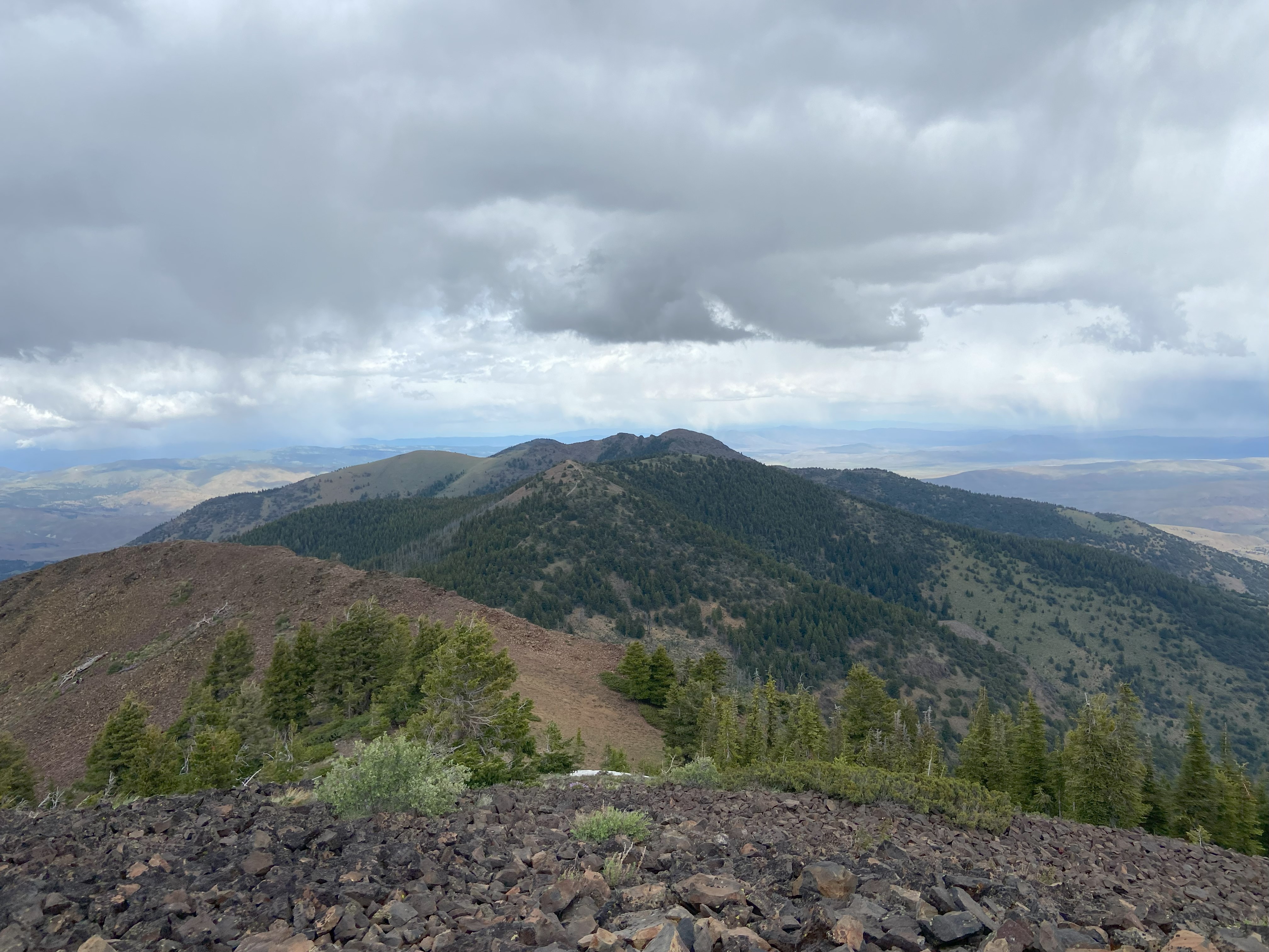
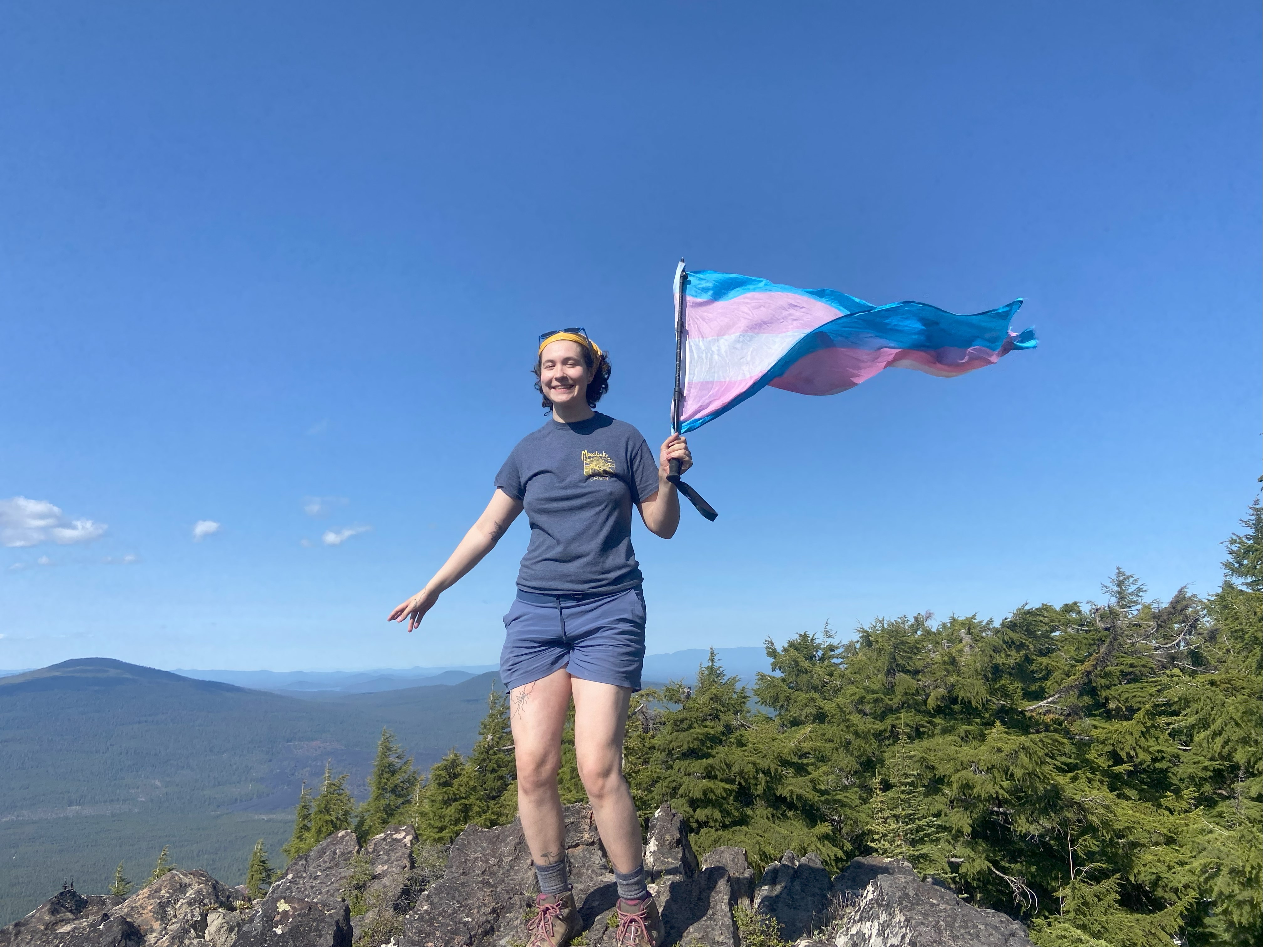
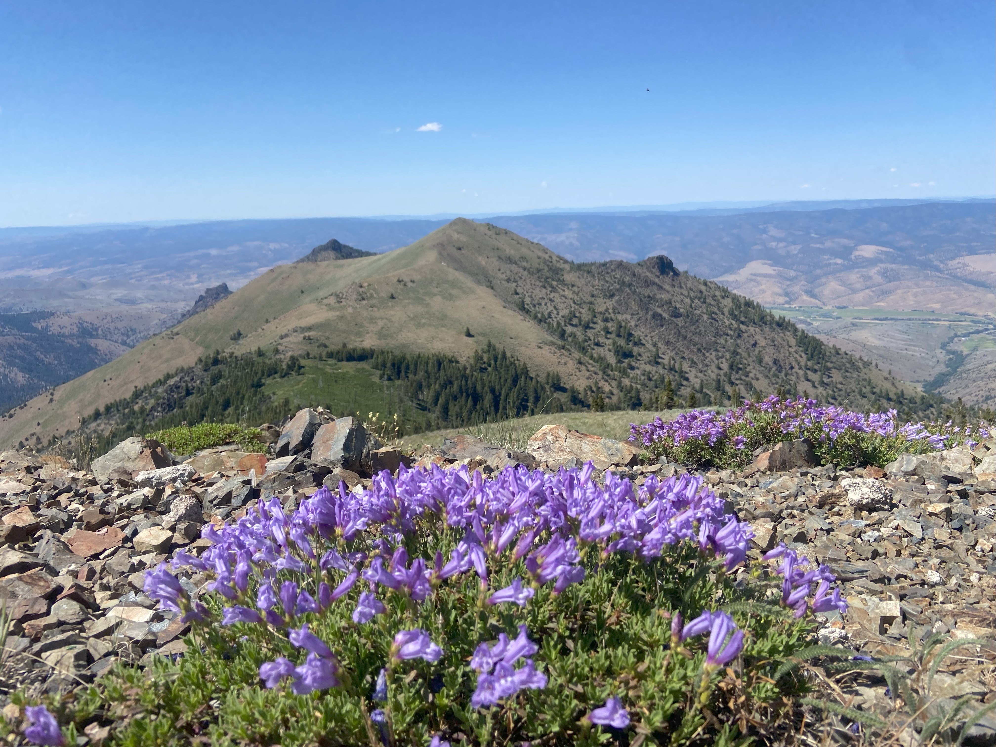
Bohemia Mountain, June 27th
For Bohemia I approached via Daniel Mick's GPX route up NF 22 to NF 2460 and found the route circuitous, but doable in a sedan until the last descent off Grizzly and last ascent up Fairview, which require high clearance and, in wet conditions, 4wd. After my hike, I decided to try and descend via Sharps Creek Rd since I saw a sign which said "begin county maintinence", and I figured it might be a better road. This was NOT the case. The road is good in most places but is pretty badly eroded and is steep as hell! I was burning rubber going down at less than 10 miles an hour. I would not recommend this route and it didn't save me any time - and that was on the descent, so don't even bother for the ascent. Anyhow, the trail up Bohemia is clear and cleared, and it was a delightful hike. No scrambling to speak of, however, so I don't know what some of those other people are talking about, unless they went off the trail I guess. Anyhow, beautiful views at the top and I wanted to drive up Fairview afterward, but the gate was closed and I was lazy
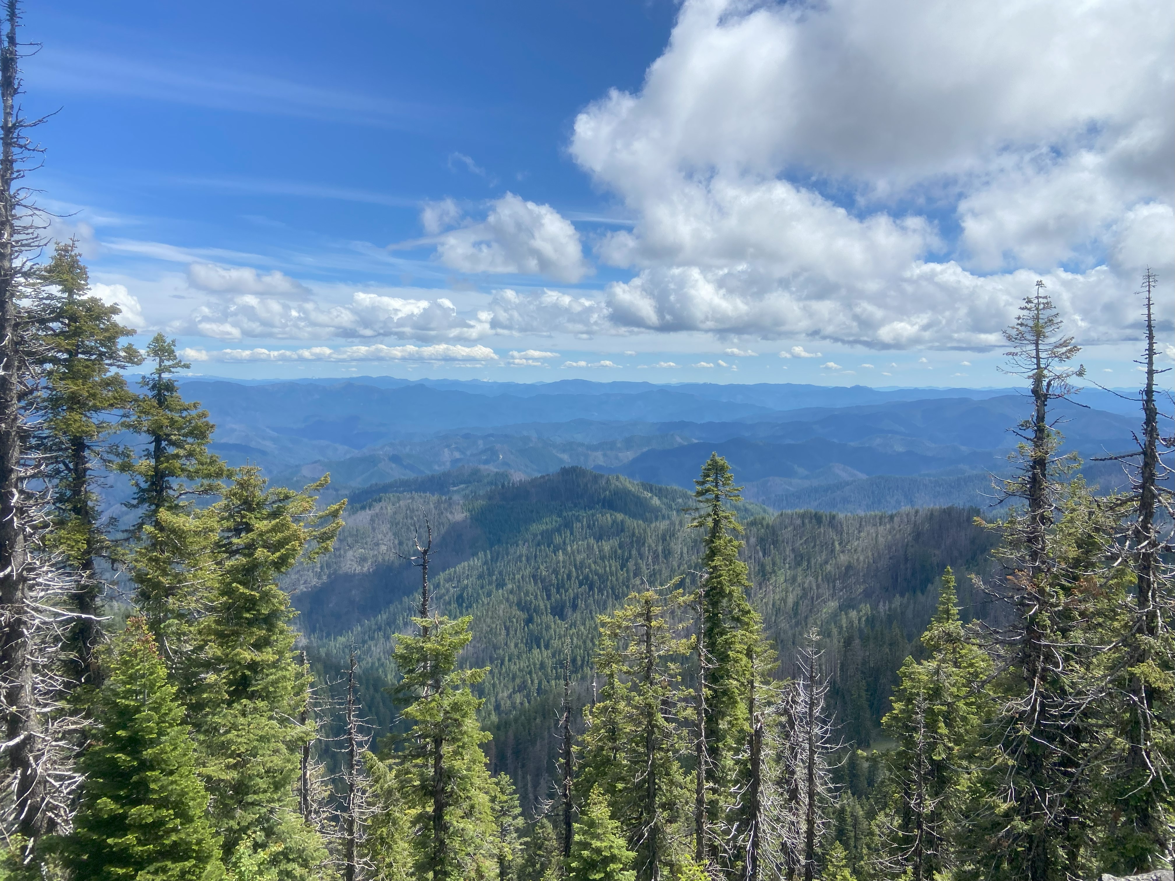
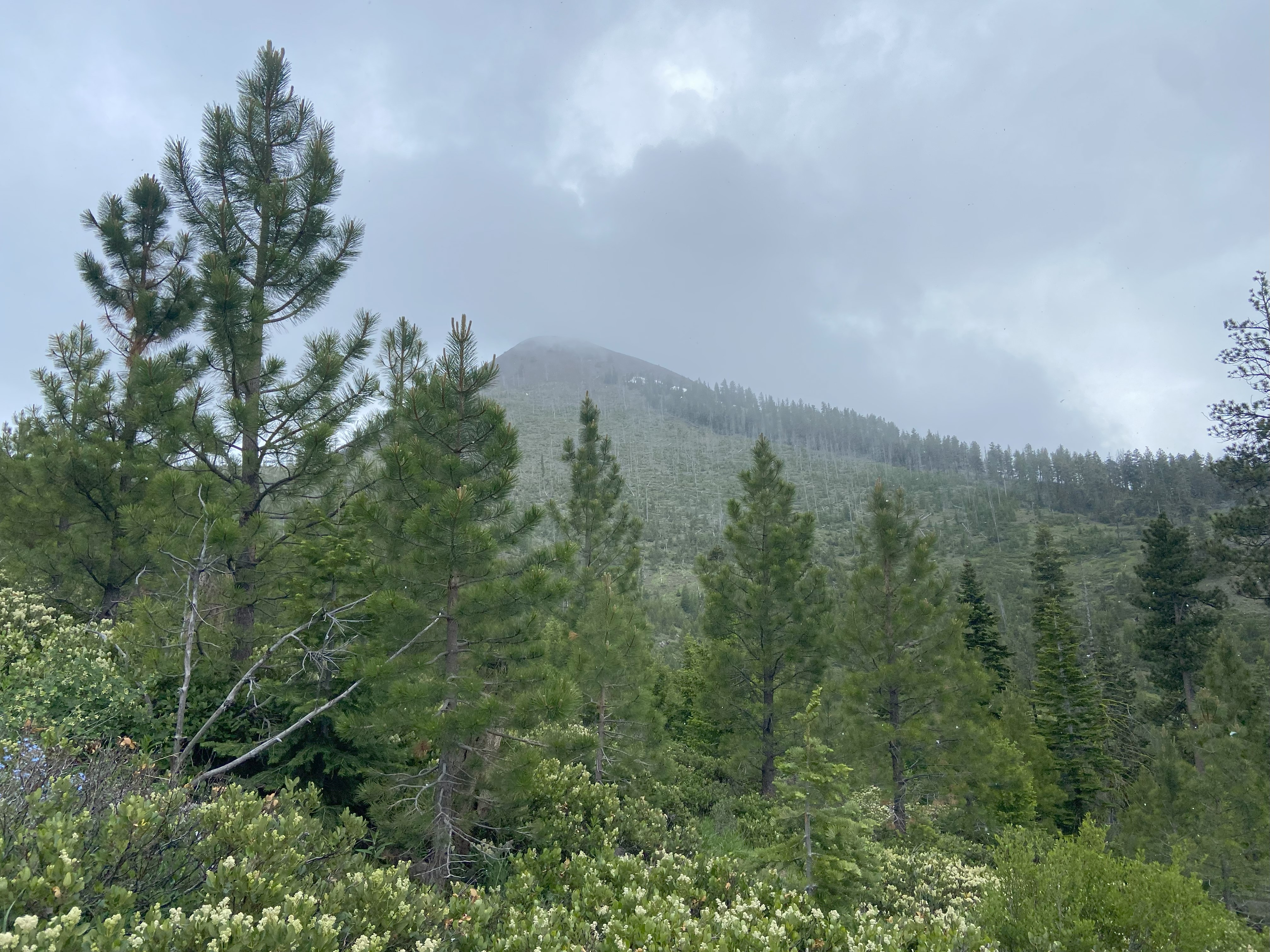
Twin Peaks, June 30th
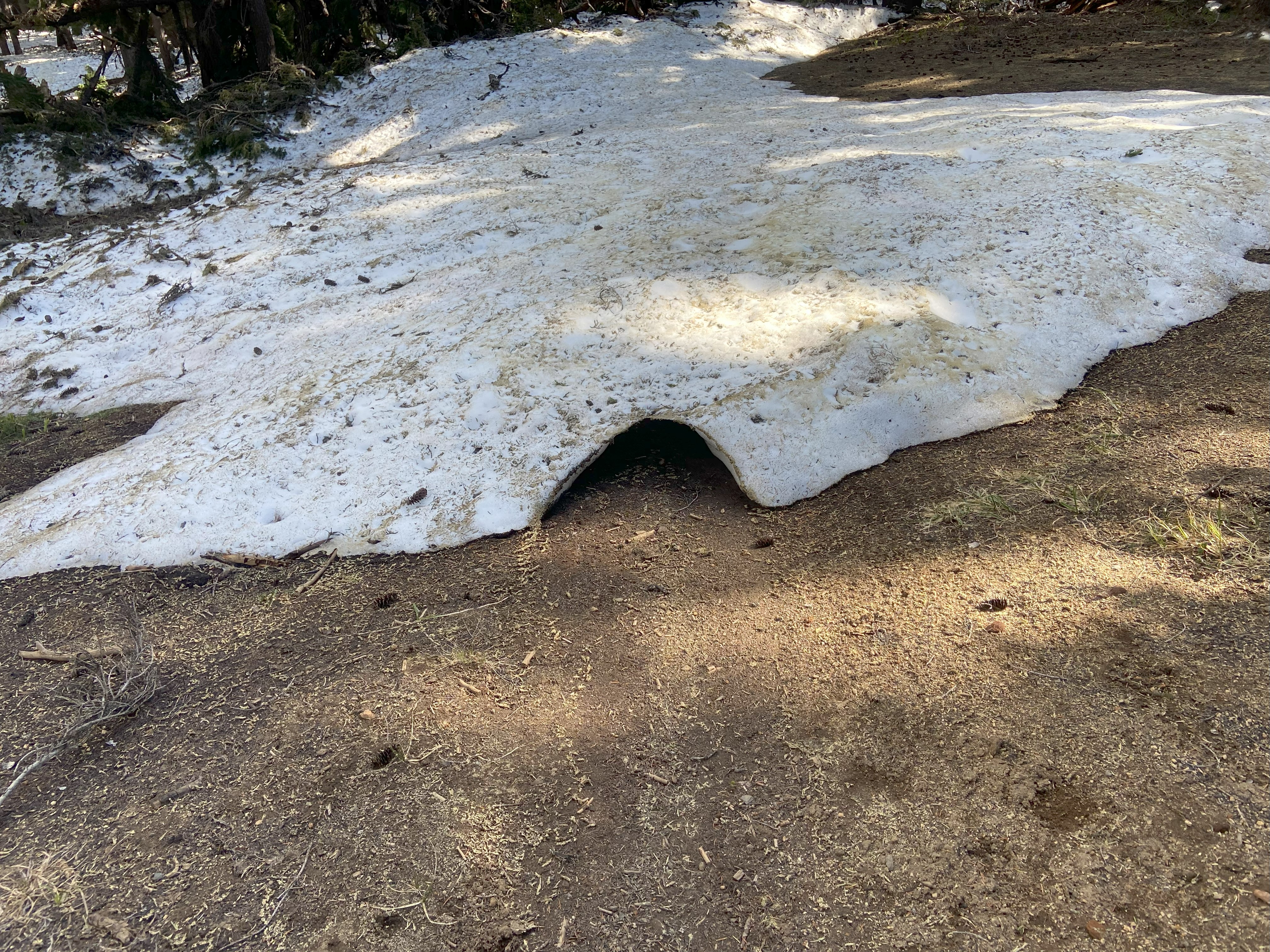
The road to Twins trailhead is paved and the trail is clear and blazed, so I won't speak much other than to say there is a lot of snow left on the trail, but it's gradual enough that you shouldn't need any spikes. Very pretty hike!!!