Yellow Spot, Roan High Knob, and Beech Mountain, March 25th-26th
Yellow Spot, Saturday March 25th
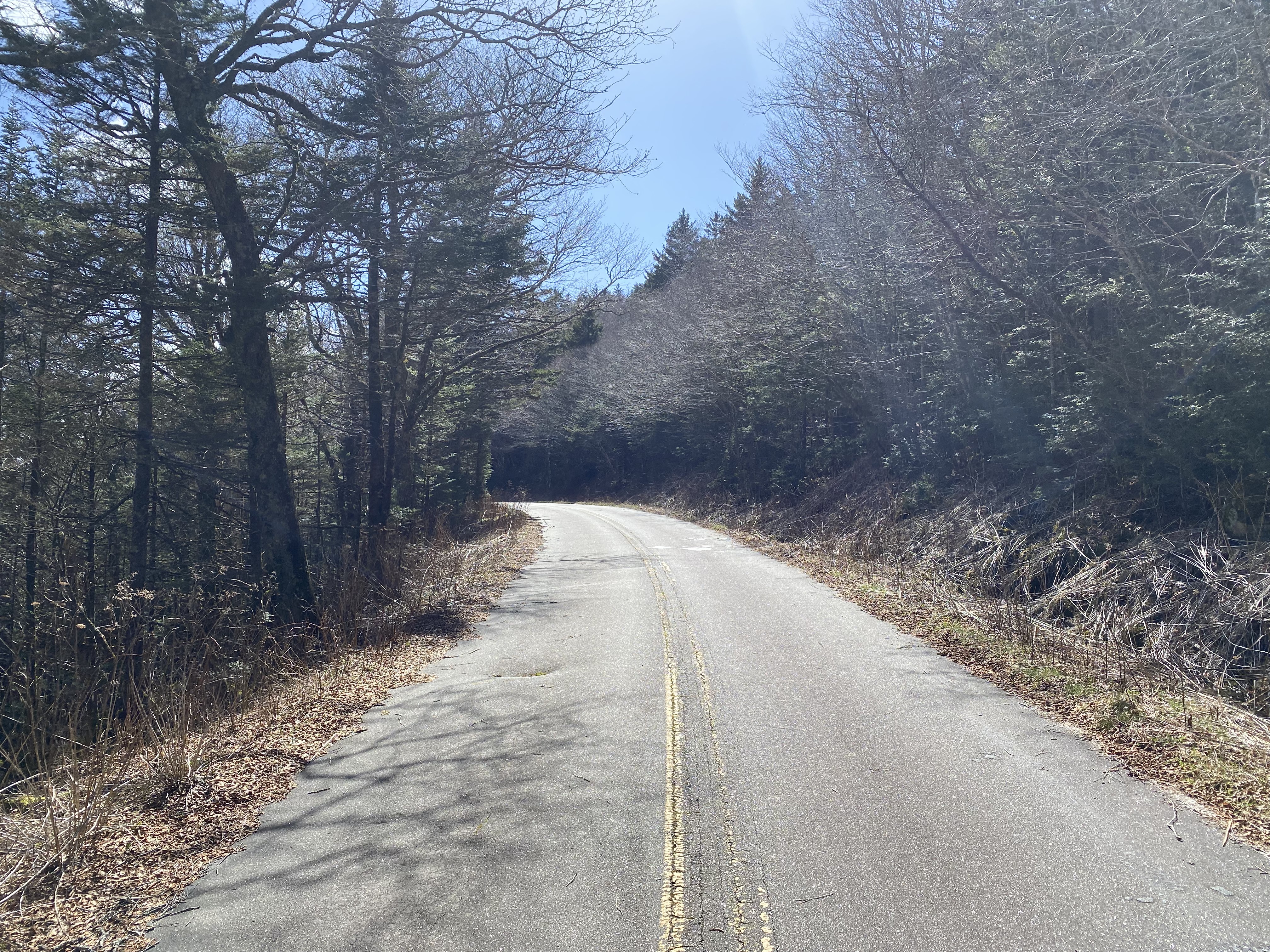
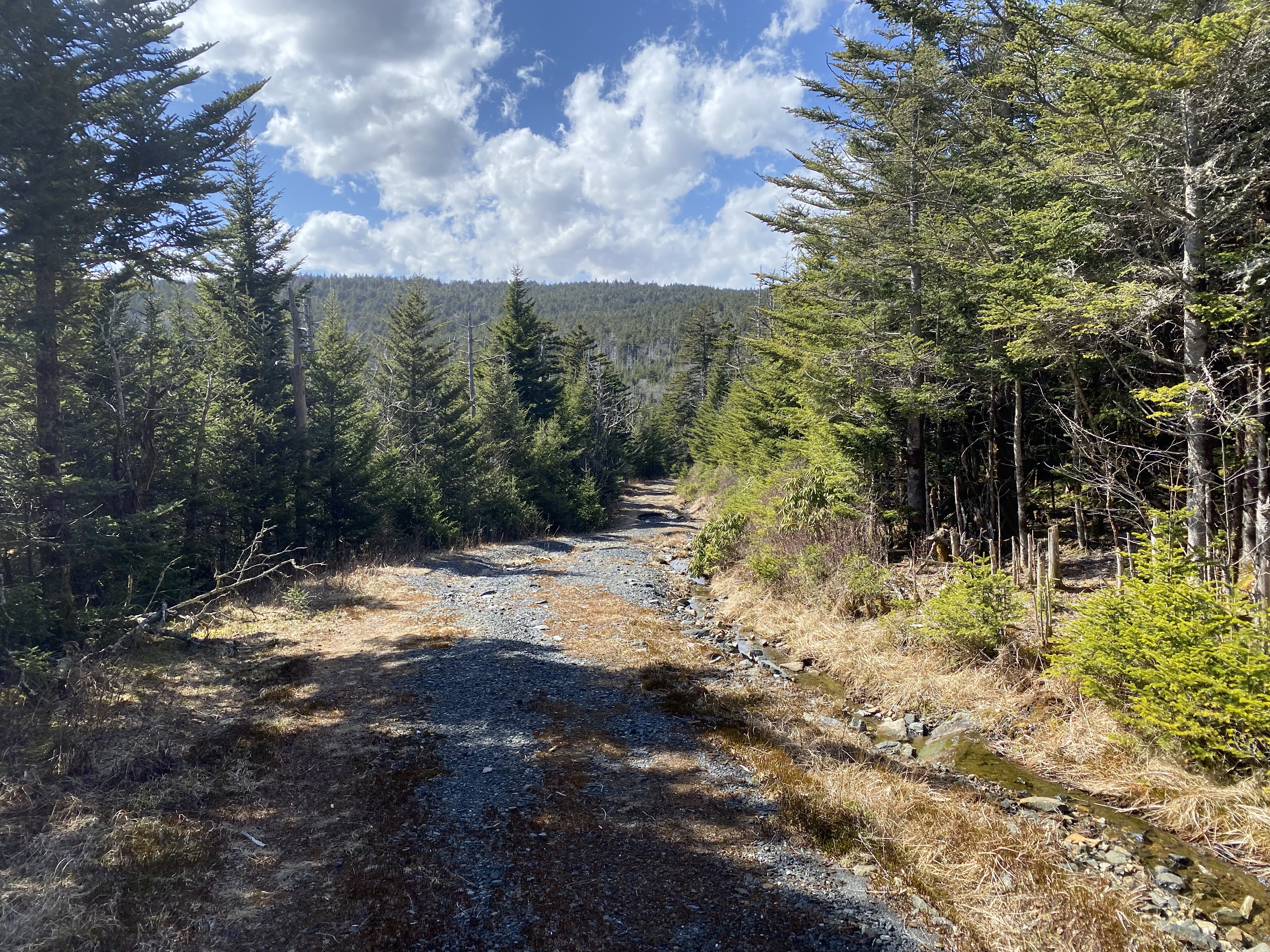
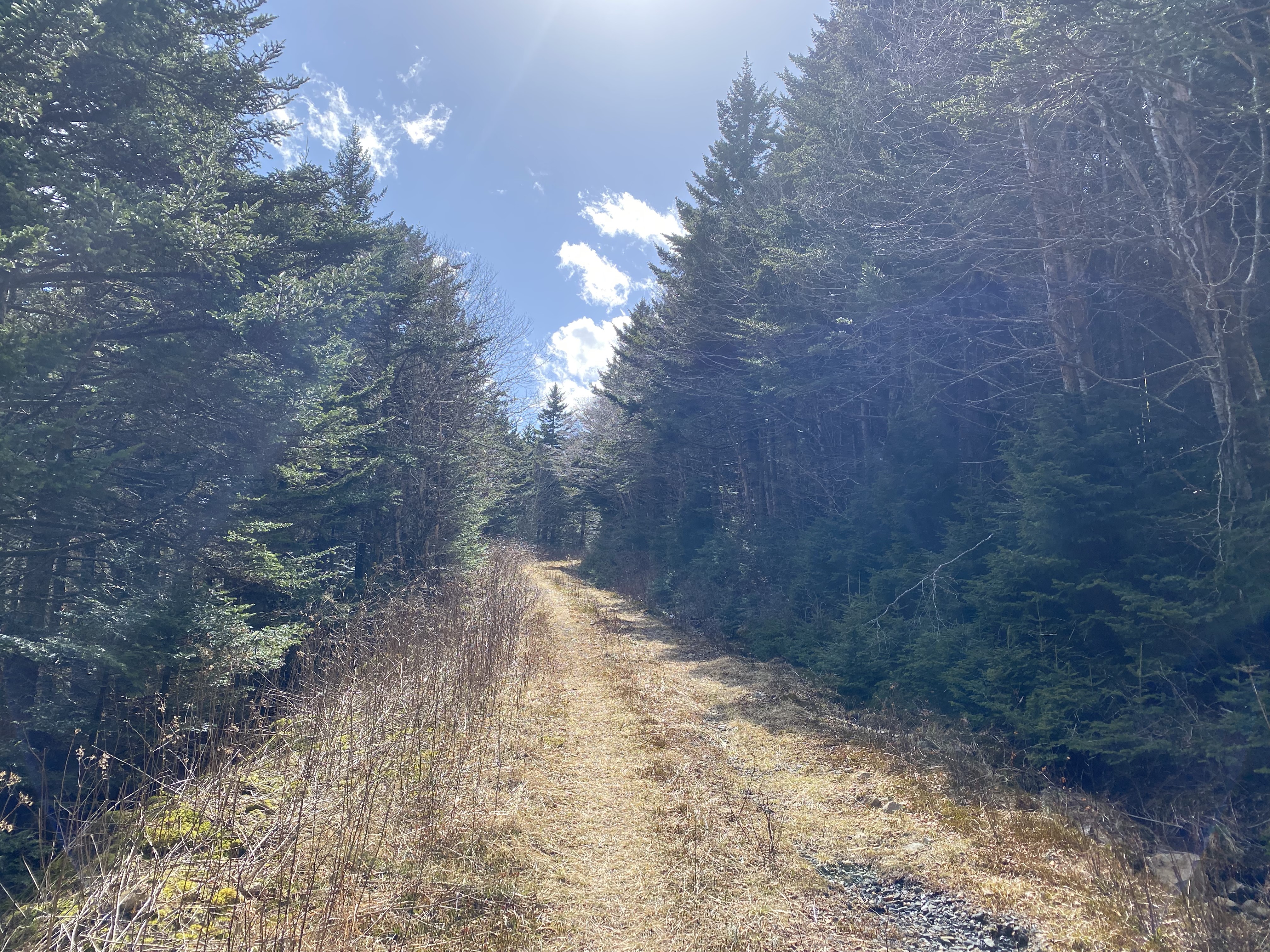
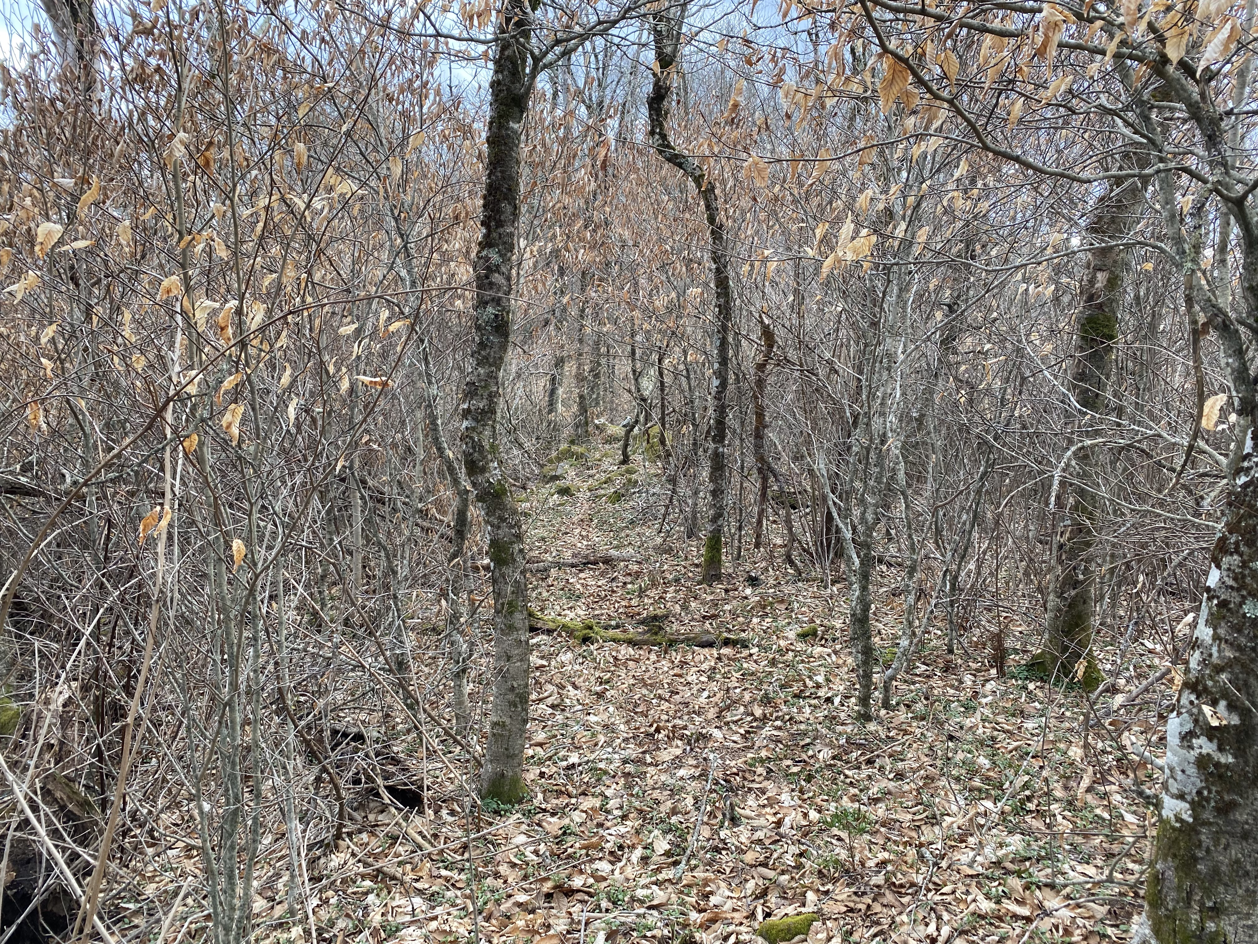
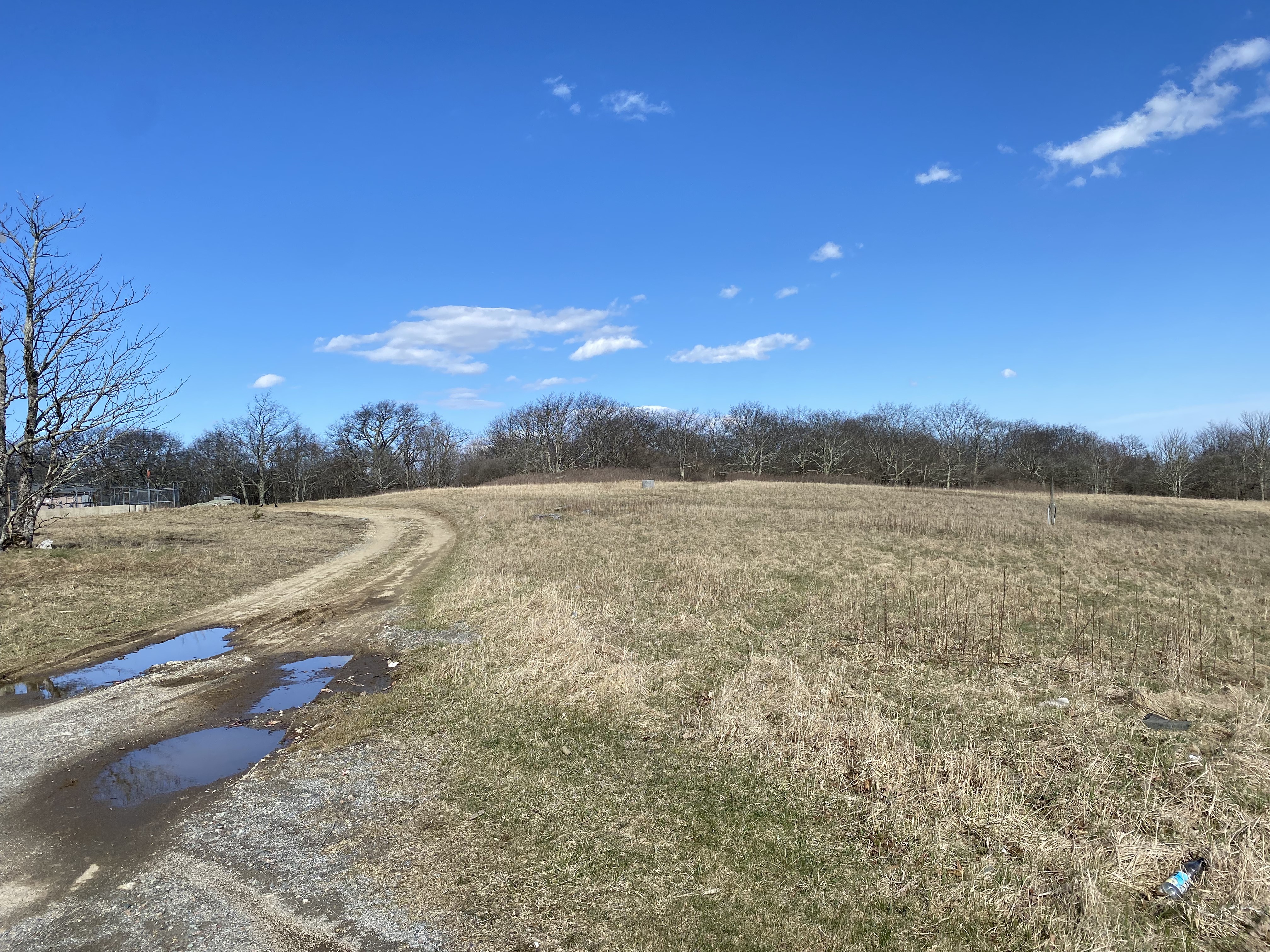
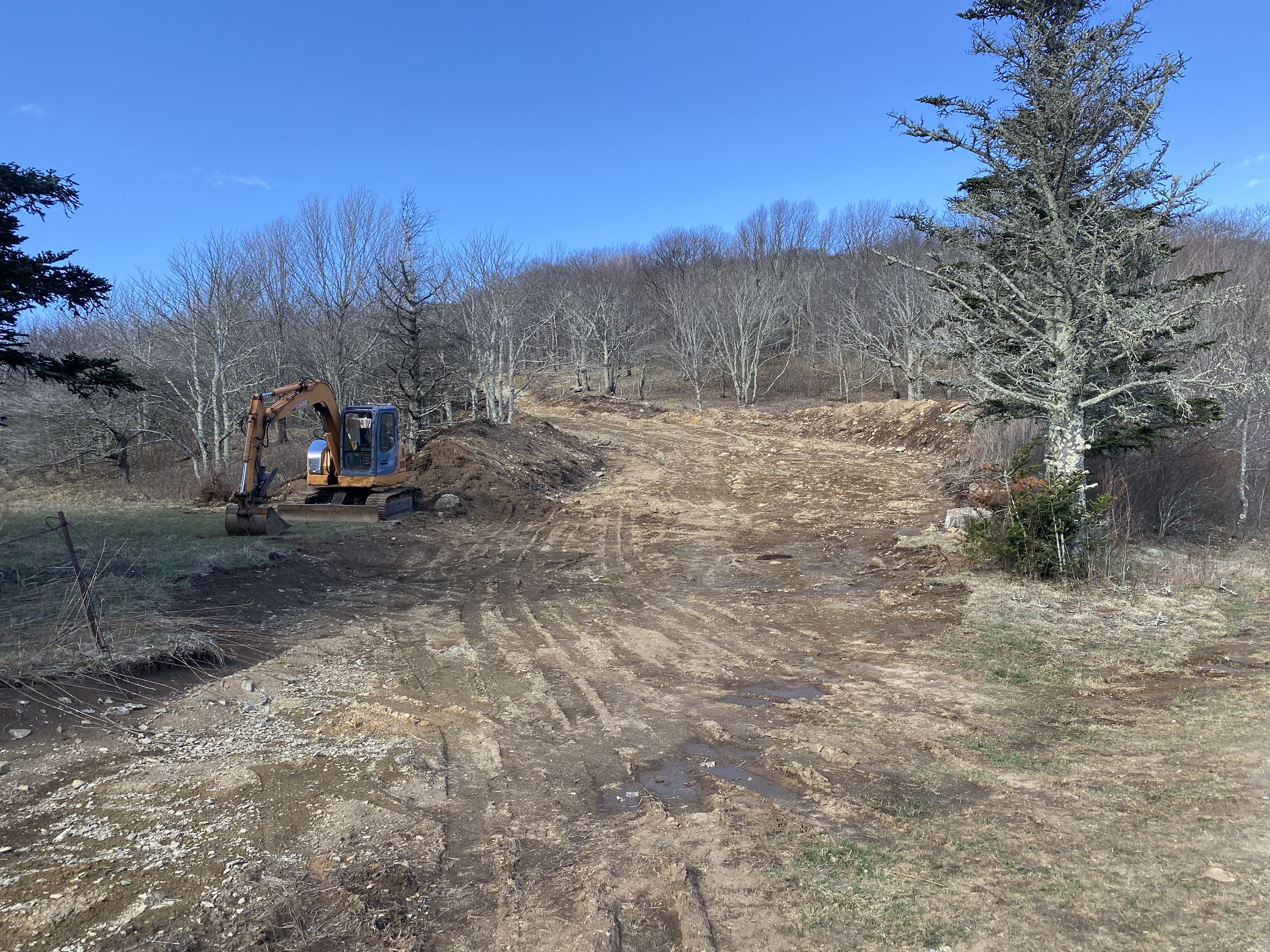
The day before this hike, I drove all the way from the Upper Valley in New England to just past Harrisonburg in Vriginia, which made for a reaaaaaaaaaal long drive. After stealth camping in the parking lot of an unnamed government building and proceeding to do all of the grocery shopping for the next week, I drove the rest of the way to the Roan Gap trailhead where I was planning on doing Roan High Knob, Bluff, and Yellow Spot. However, I got to the trailhead at 15:30, and being a good-weather day on a weekend meant that there were a ton of people around. So I decided to do Yellow Spot first, and then see if I had the stamina to do the other two. I biked up the access road to Roan High Knob until about 5900ft, where there is a gated dirt road on the lefthand side. Biking down the road was no problem at all, with a few minor washed-out sections and the road in overall good shape. There is a sign saying "no motorized vehicles past this point" at about 0.1 miles in, and is right next to a cool (seemingly) abandoned shed with a picnic table inside. I would have gotten photos of that but I was speeding by on my bike on the way there, and was too work out on the way back to get any shots of it
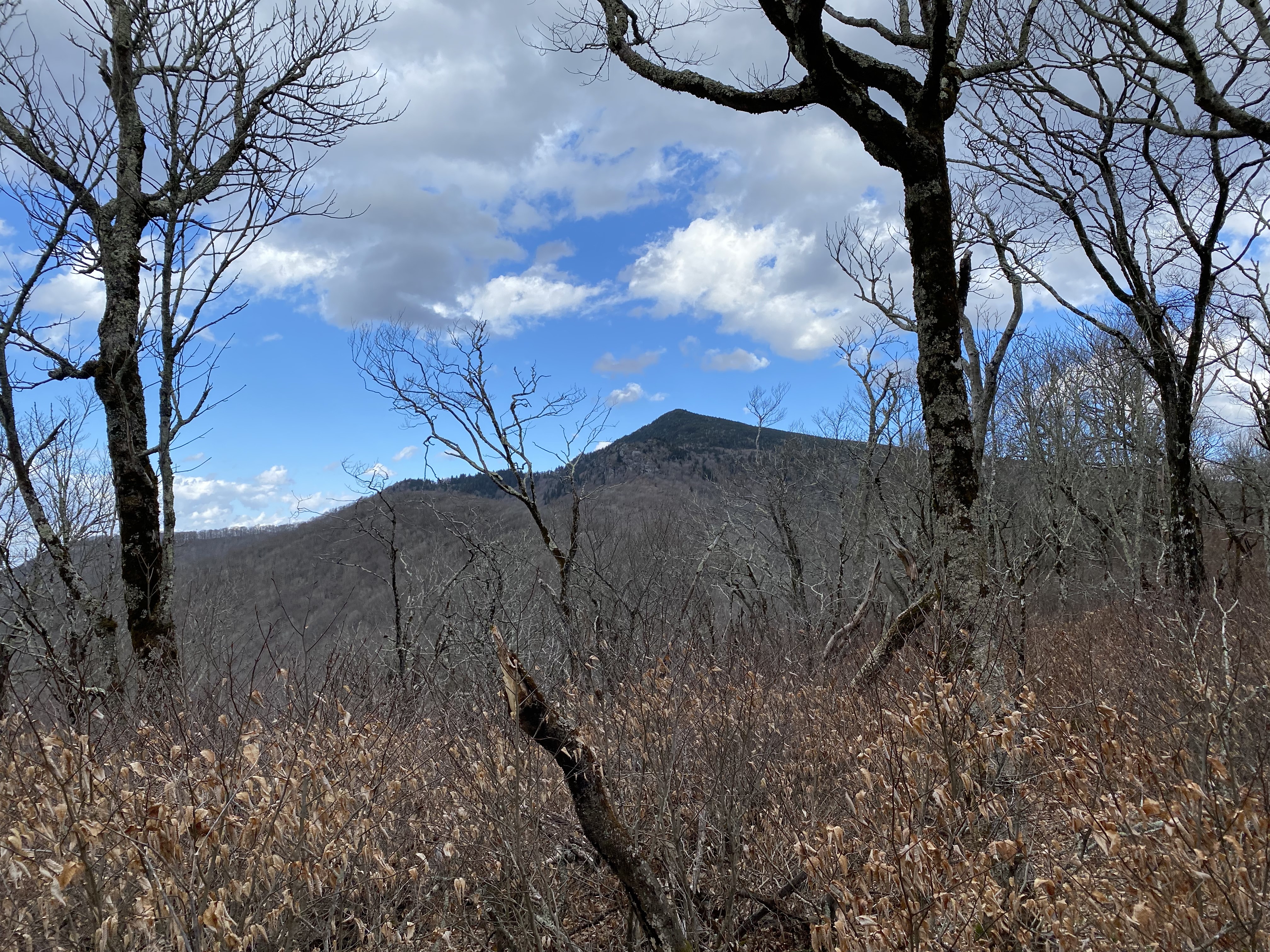
Toward the end of the dirt road, there is a sharp curve to the left at around 5600ft, at which you take a left for a couple hundred feet before veering off to the right at the ridge, where you can find a well-defined heard path leading to a delightful outlook of Yellow Spot
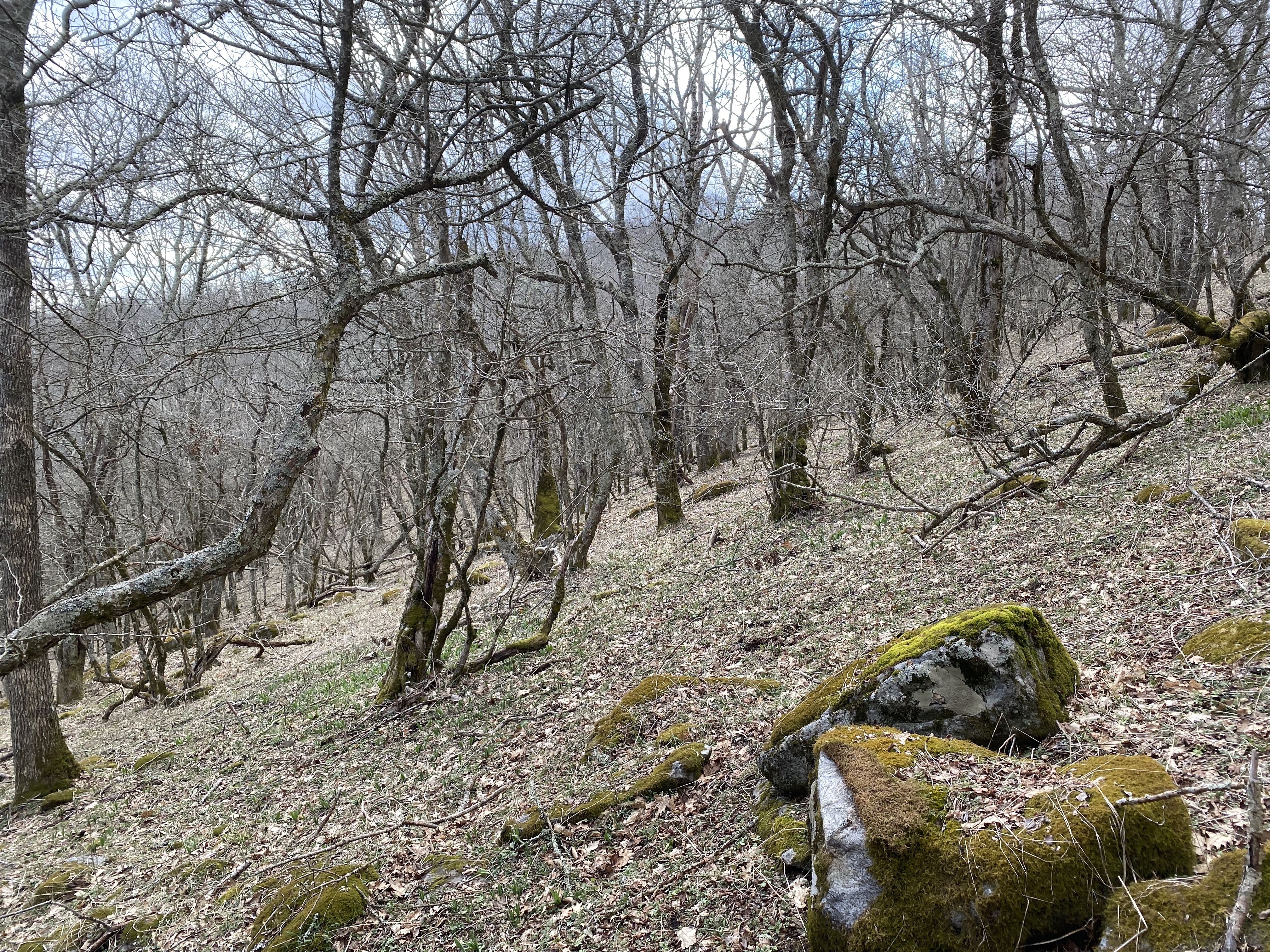
Going down from this outlook was a bit of a challenge, and I decided to follow one of the dirt chutes on the left side. If it was rock this would be a solid class 3, but there's a bunch of loose dirt and leaves instead, so make with that what you will. I would not recommend going down this path while raining, though it had rained earlier in the day and there didn't seem to be much mud there. Regardless, from here I followed the ridge another hundred feet before coming to another rocky point, which might have had a similarly-nice view. However, I was more interested in traversing the ridge than getting basically the exact same view a second time, so I proceeded to the right to go down. Big mistake. I didn't know this at the time, but the entire northern side of the rock formation was cliff faces, and unless you are prepared for a technical descent, I would strongly recommend veering to the south, as I eventually did after finding no path down on the northern side that I felt was safe for me given my skills and circumstances (can't do a technical descent solo with no rope or rock climbing experience, after all)
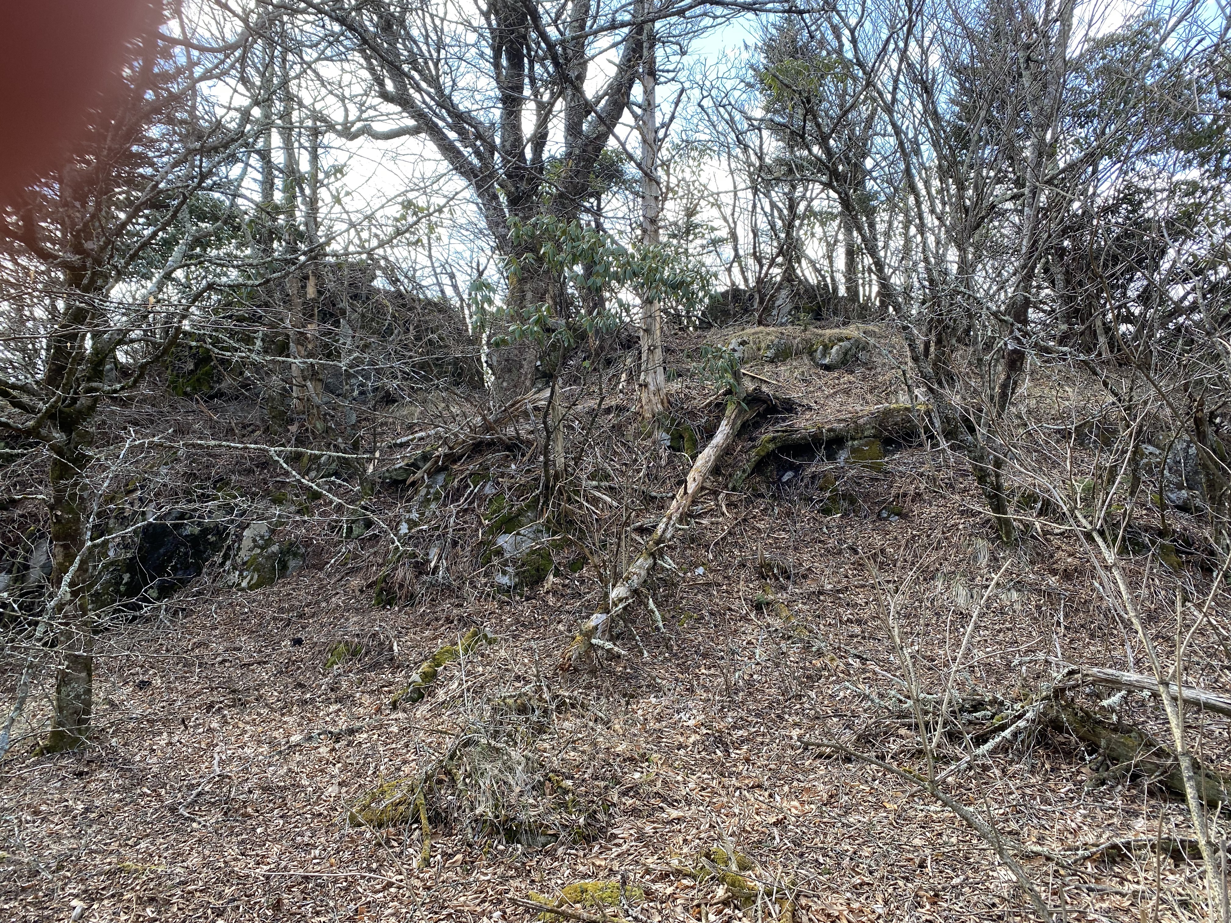
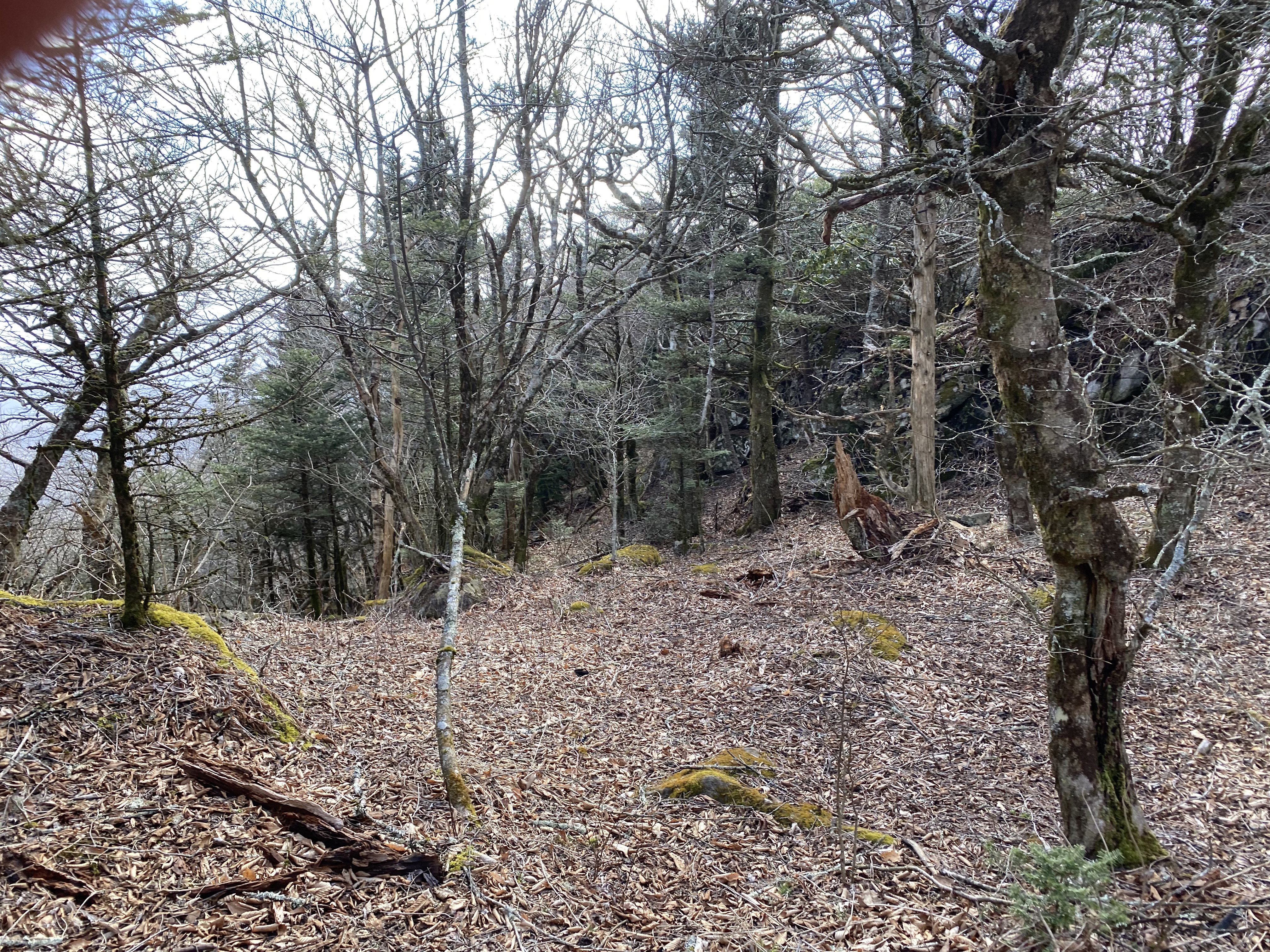
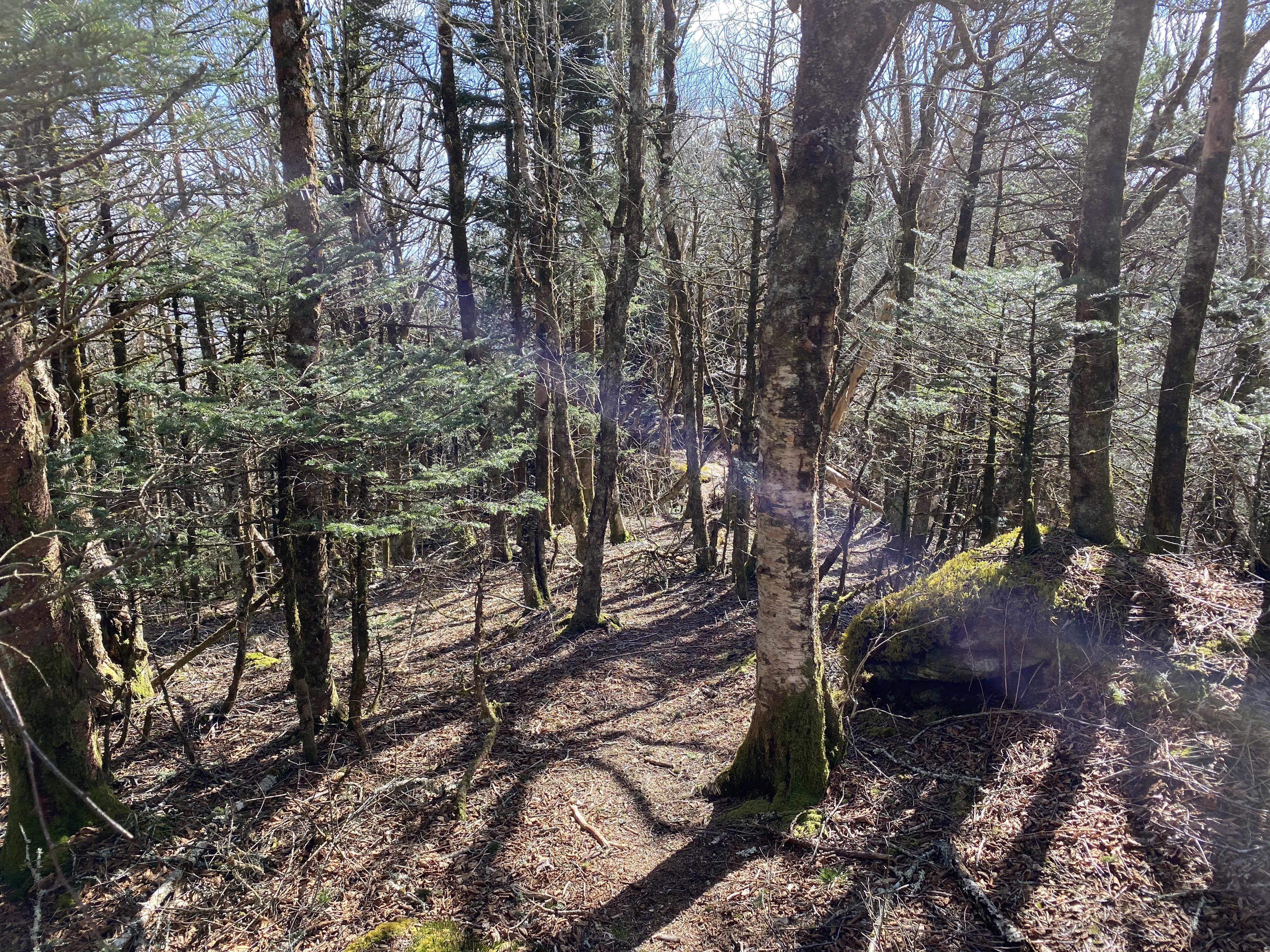
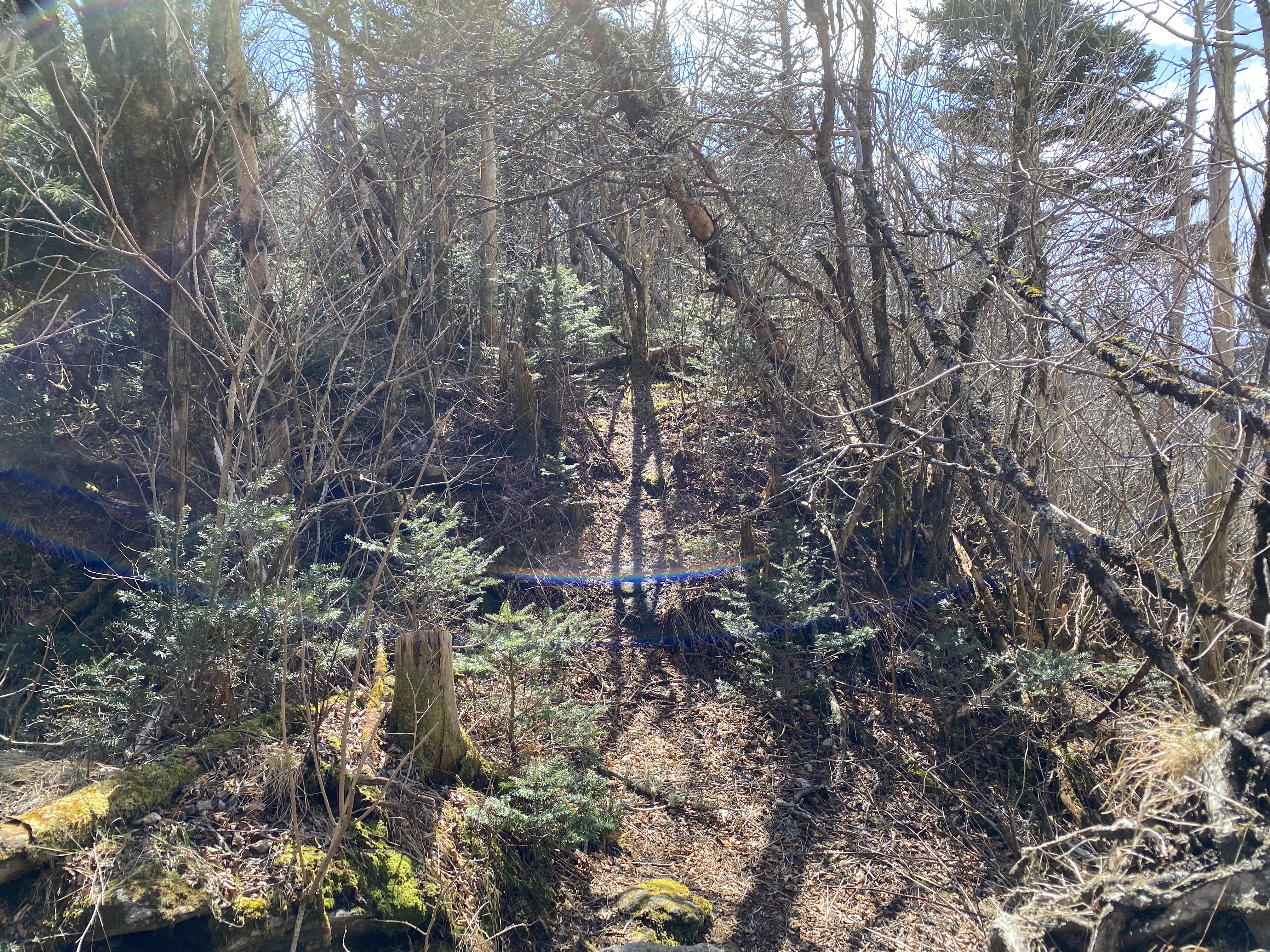
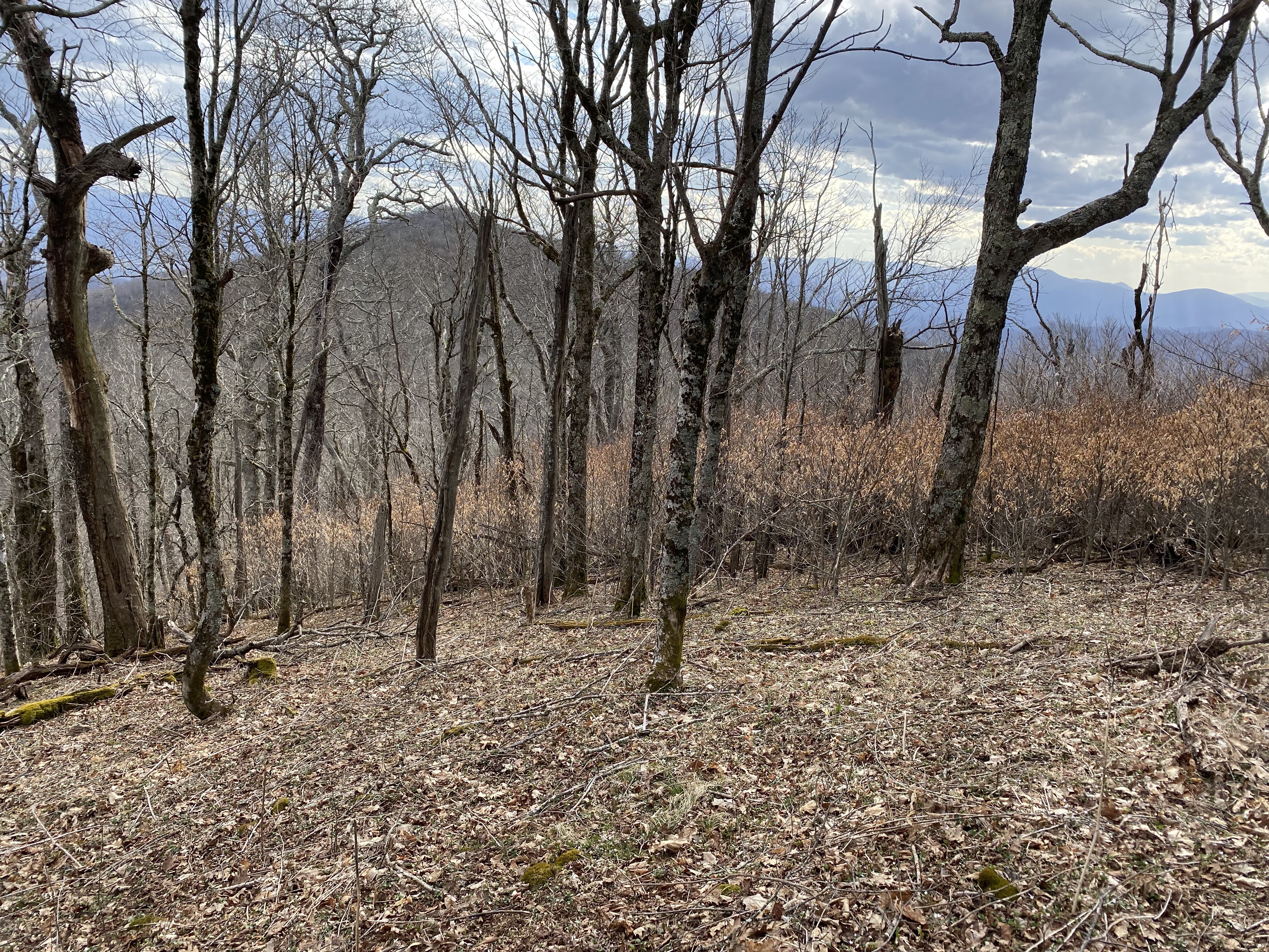
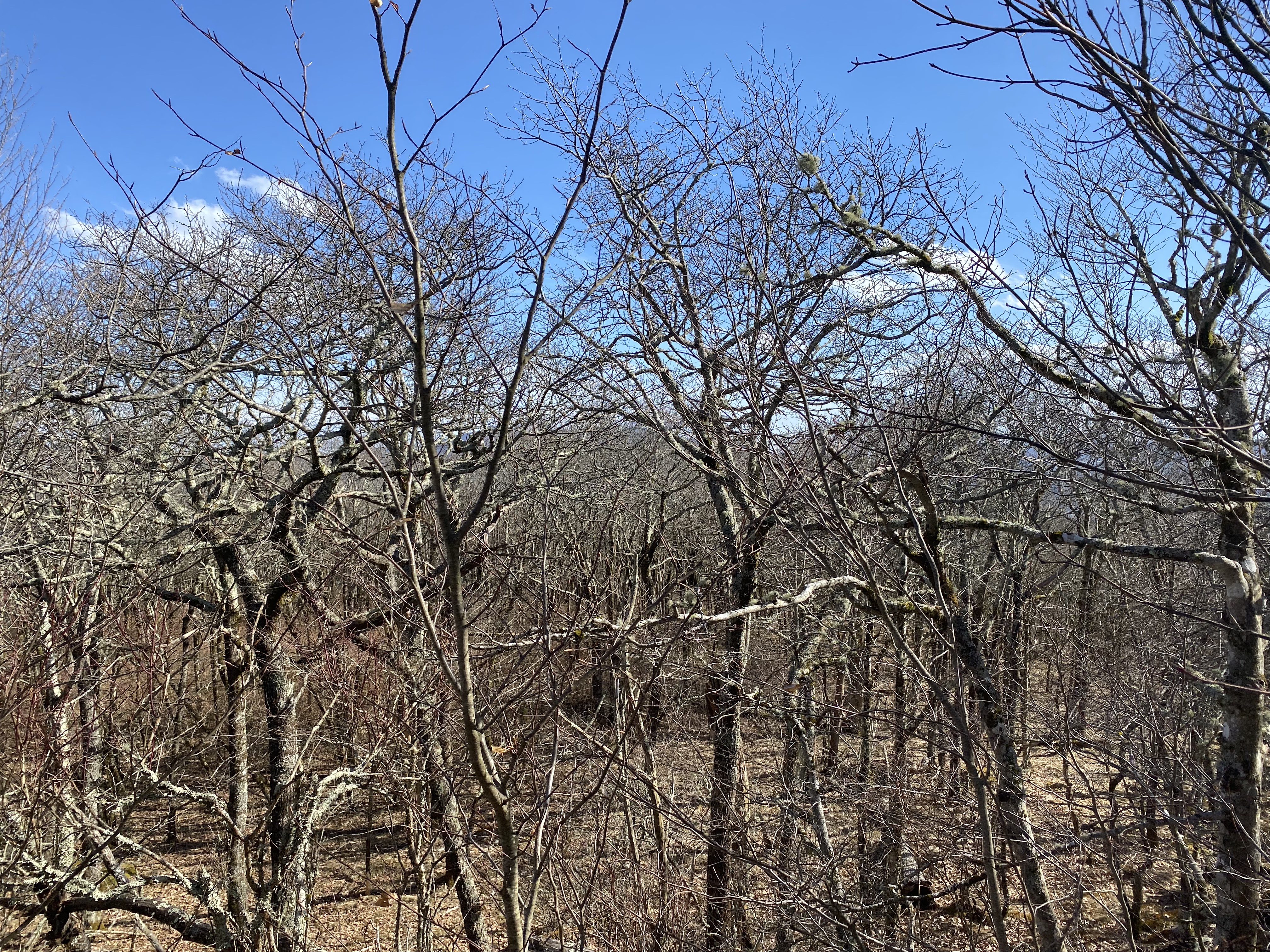
I thought I had lost the heard path, so I traversed the southern side of the ridge for about half a mile before linking back up to the main ridge and finding a heard path once more. I followed the path for most of the rest of the way to the peak before Yellow Spot which AllTrails calls "Fork" and which Caltopo calls "Haw Patch". It was immediately after this peak that the USFS-private property boundary starts, and although it was posted I saw no signs forbidding trespassing, so I cautiously proceeded. I found a hunting blind after a few hundred feet, but won't post photos of since it was on private property. Given that it wasn't hunting season and there was clearly no one there, I decided to follow what looked like an ATV trail right to the summit, and was able to get a few, poor quality photos at the summit due to poor lighting and due to the top of my tripod ripping off during an earlier bushwhacking section
The traversal back to the dirt road was better than the way out, as I stuck closer to the heard path, and I eventually found, by pure coincidence, a top of a tripod that was compatible with my own! No, I didn't lose mine and find it on the way back, the original top of my tripod snapped clean in half and I carried the pieces with me though the hike. Still though, finding the exact part you're looking for just lying in your path is a total coup, and was by far the best thing to come out of this hike for me! Anyway, by the time I got back to the road, daylight was fast receding and I was absolutely exhausted - I'm no ashamed to say that the first hike as part of this project kicked my ass
Roan High Knob and Roan High Bluff, Sunday March 26th
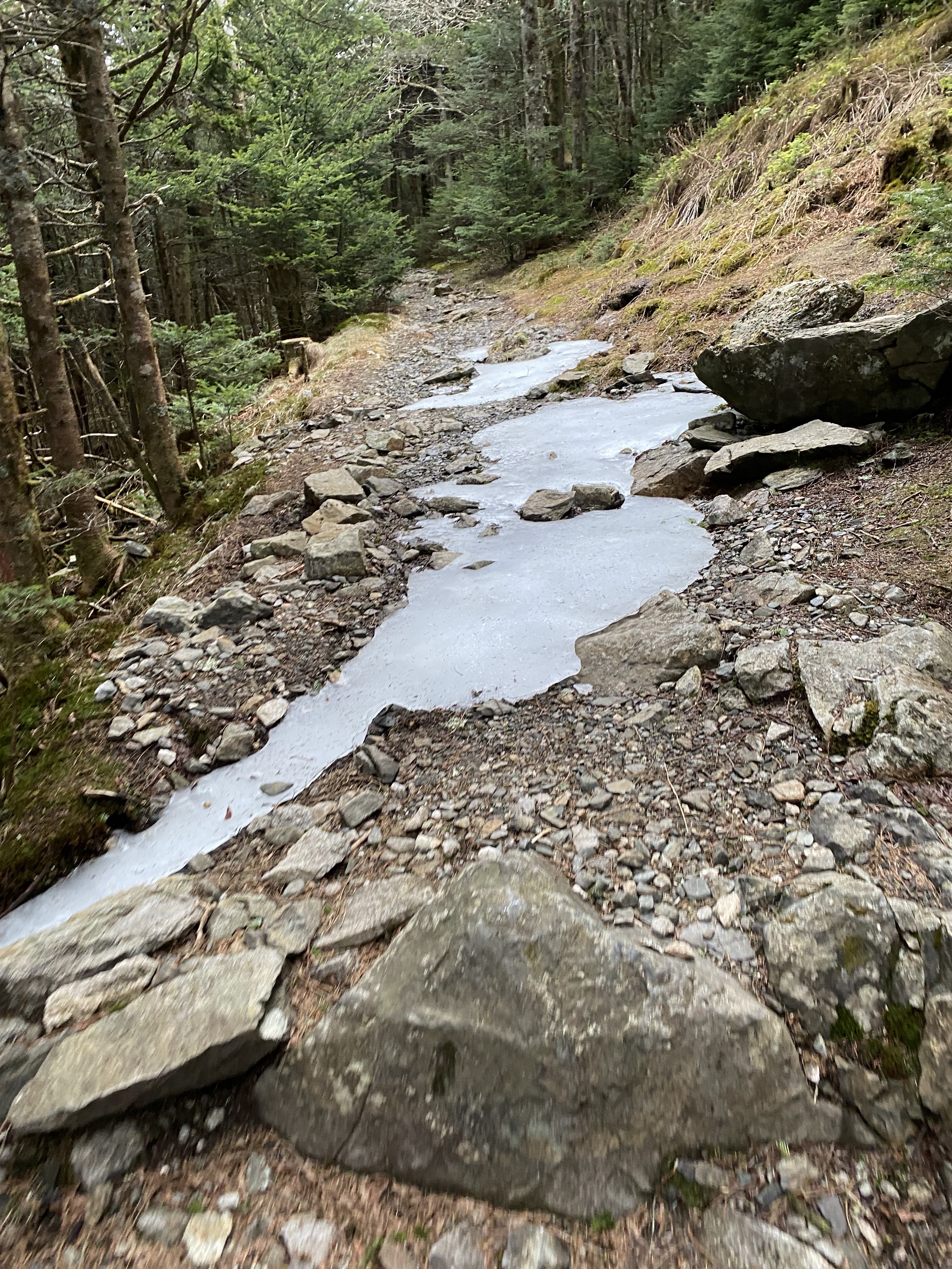
Right after the crack of dawn I started back up the access road to Roan High Knob, walking my bike all the way up since I wasn't in shape enough to ride it up in it's own right. At about 6000ft I found an access point to the AT and locked up my bike for the quick hop over to the Knob. The trail was in good condition, and there was a bit of ice on it in sections that was easily avoidable. The spur to the summit goes to an AT shelter 100ft from the summit rock, and although the summit is a restricted area for firewood collection, there was no signage asking people not to climb on top of the rock pile at the summit. Here too I got some bad photos, although I did have a functioning tripod that time
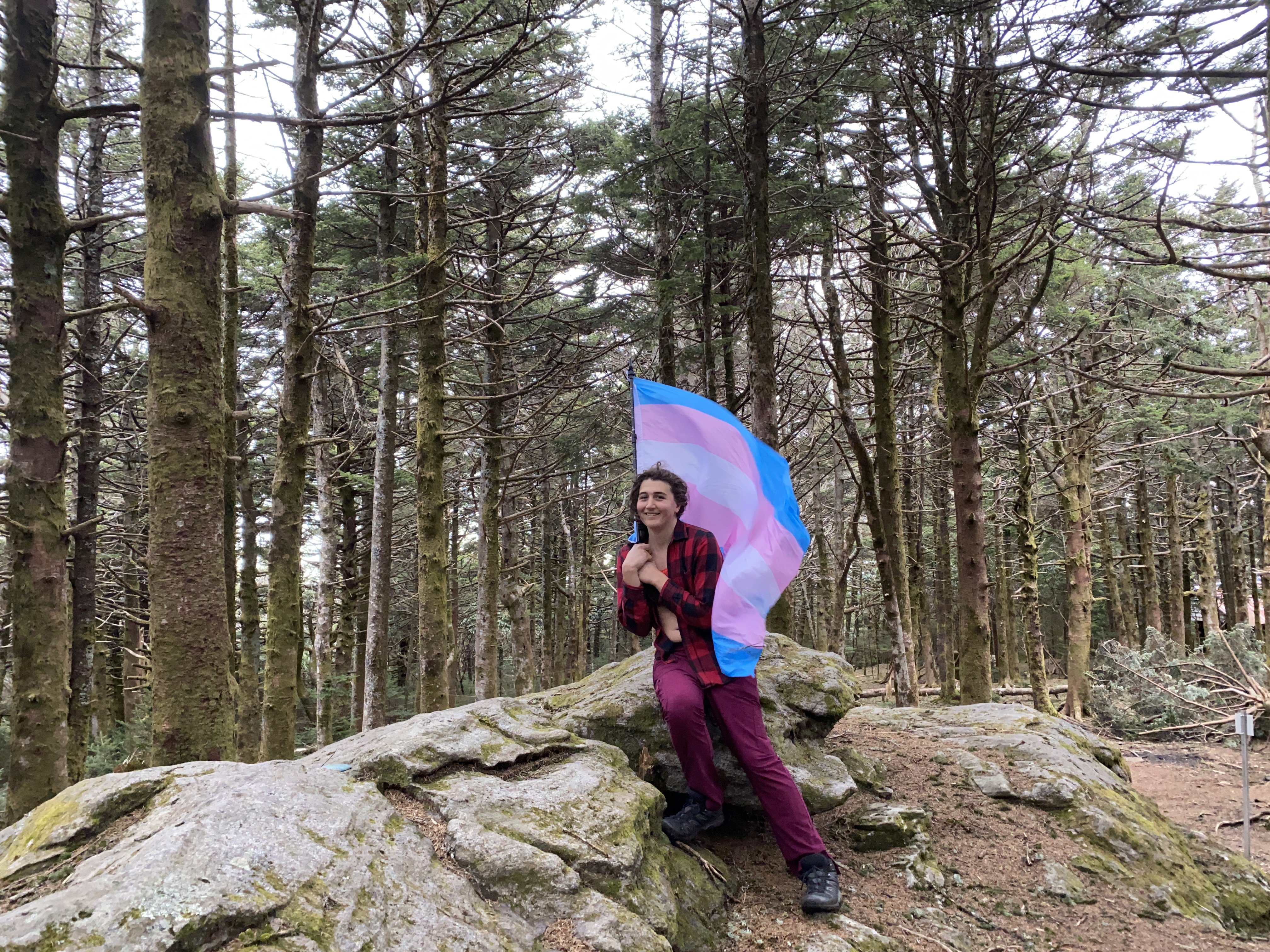
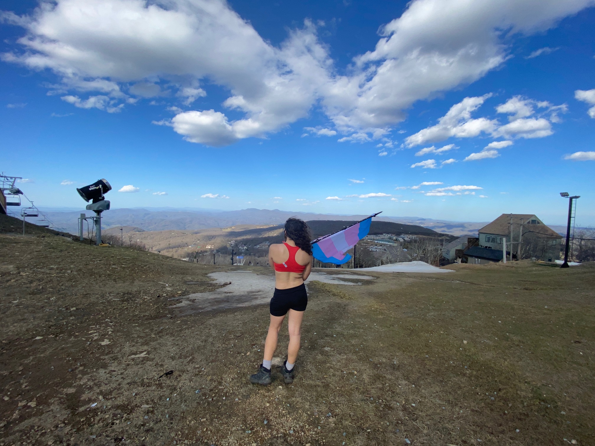
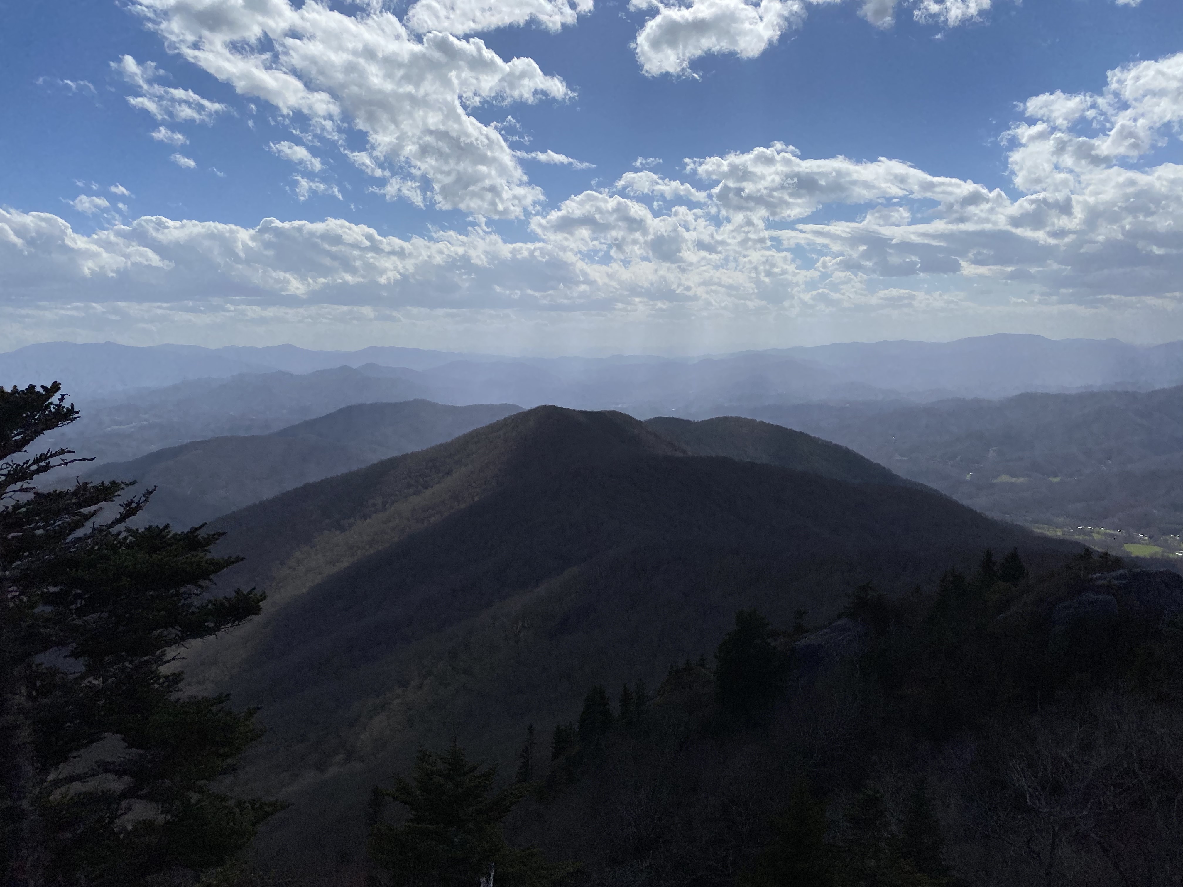
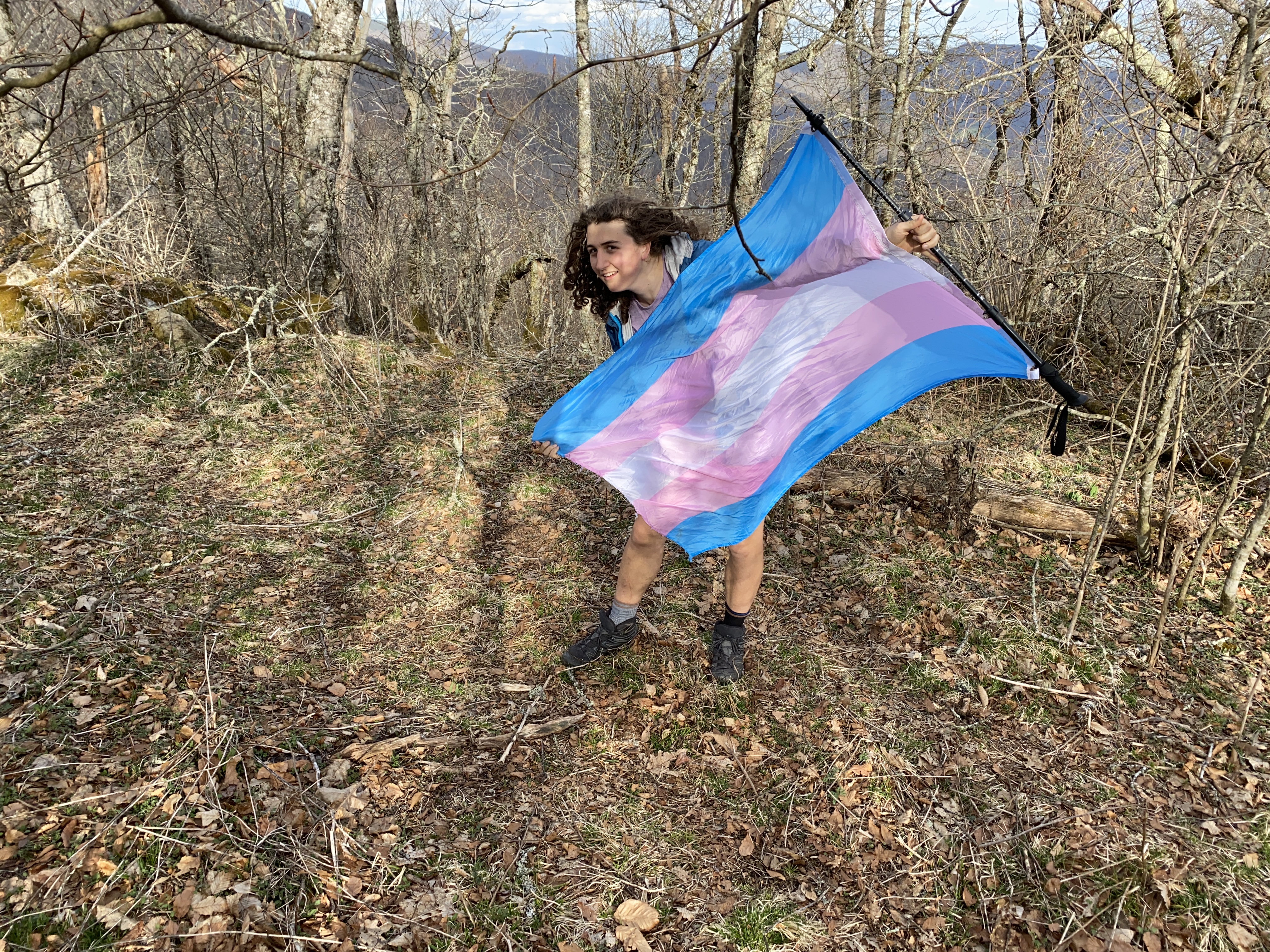
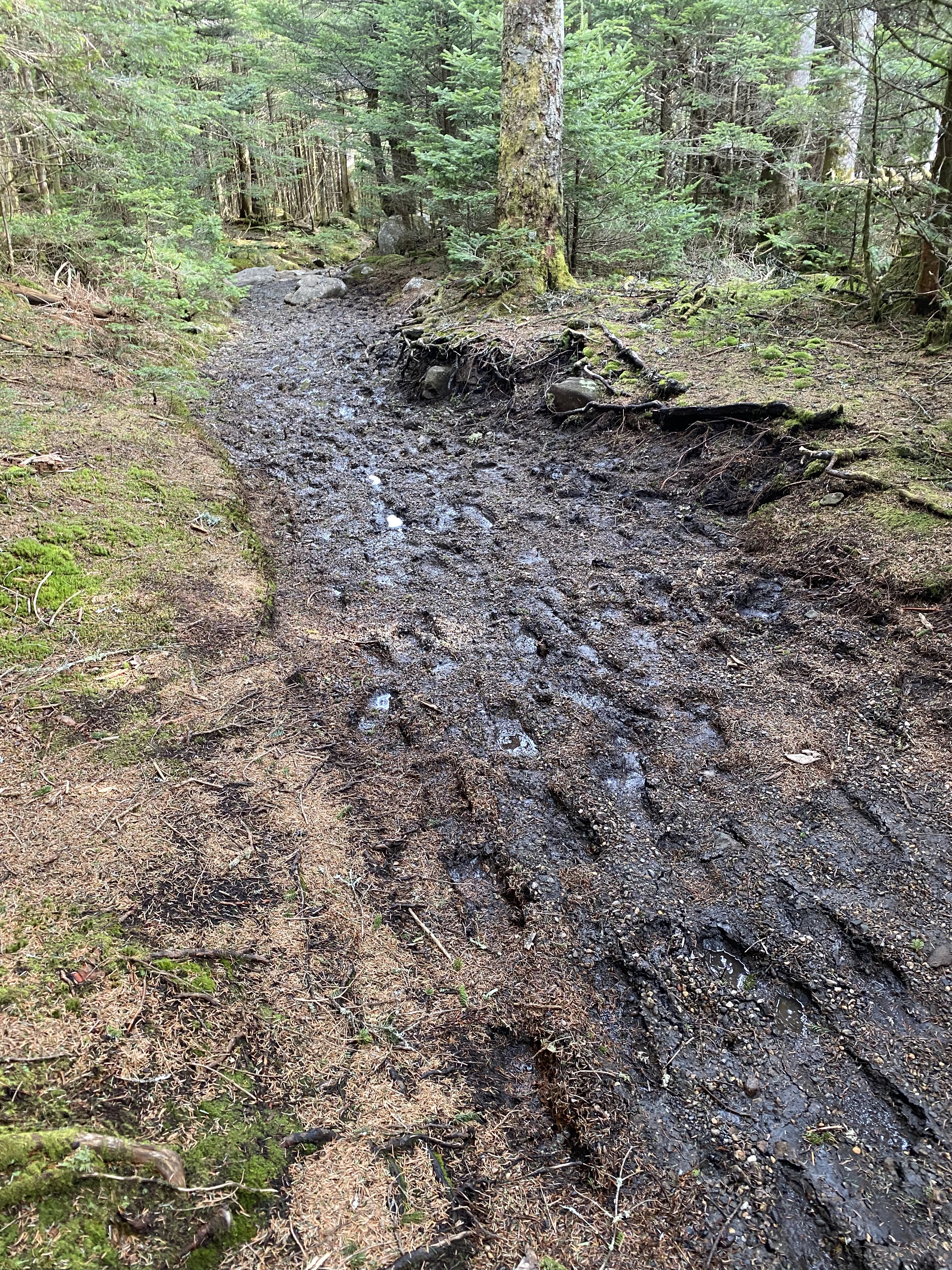
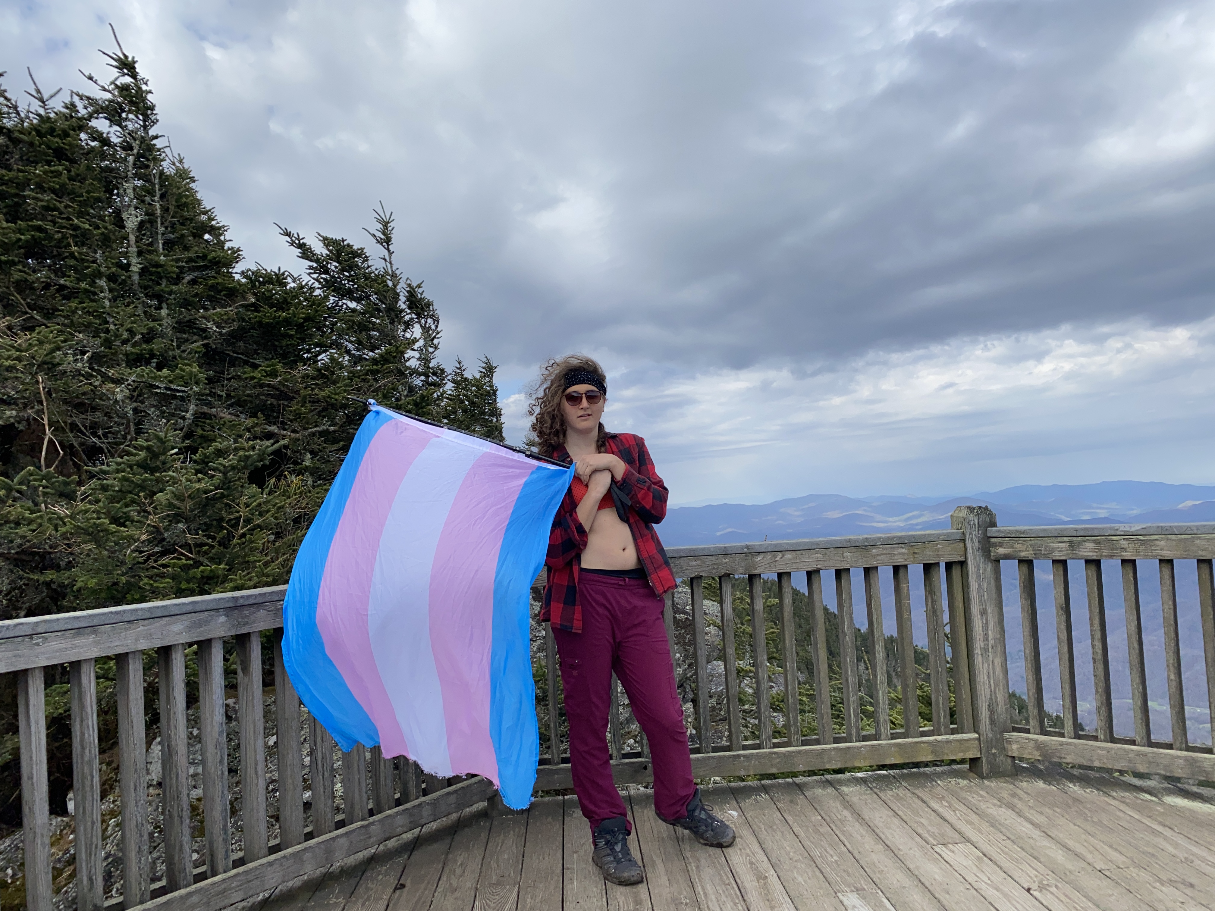
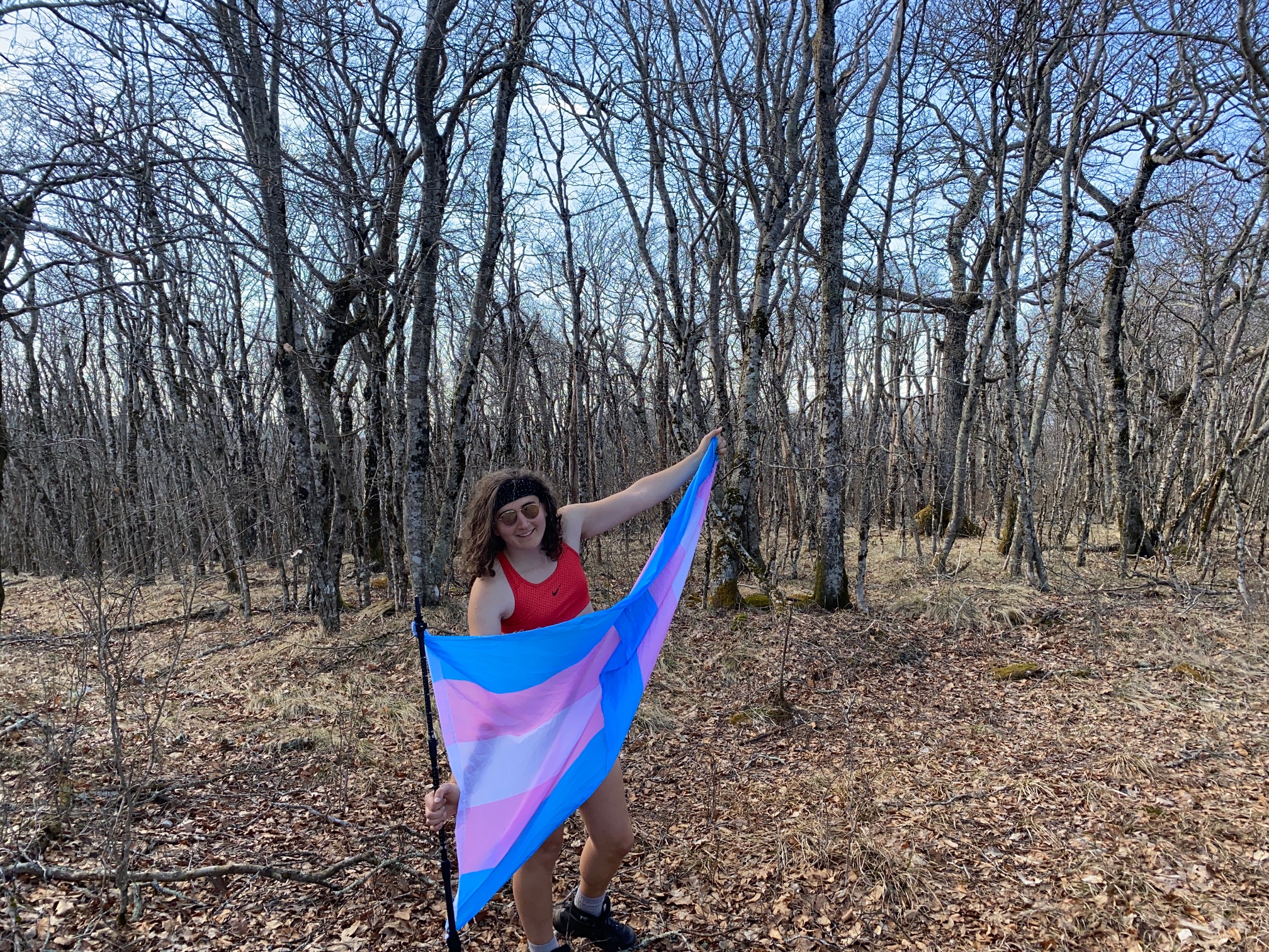
After getting my photos I headed back to my bike and walked all the way up to the parking area next to the peak of Cloudland before biking over to the trial to Roan High Bluff - which was a delightful ride considering I was the only person there. The hike along the trail to the Bluff was fairly muddy, but nothing an experienced hiker would be phased at. The summit itself is restricted due to vegetation preservation efforts, but is fairly uninteresting on its own. The outlook was quite nice, and I got a lot of satisfaction as I was waving the flag above the town below where I could hear church bells ringing. Of course not everyone who's transphobic is religious, and vice versa, but there's a strong trend - particularly in the Bible Belt. And to literally have a pride flag flying above during the services was delightful
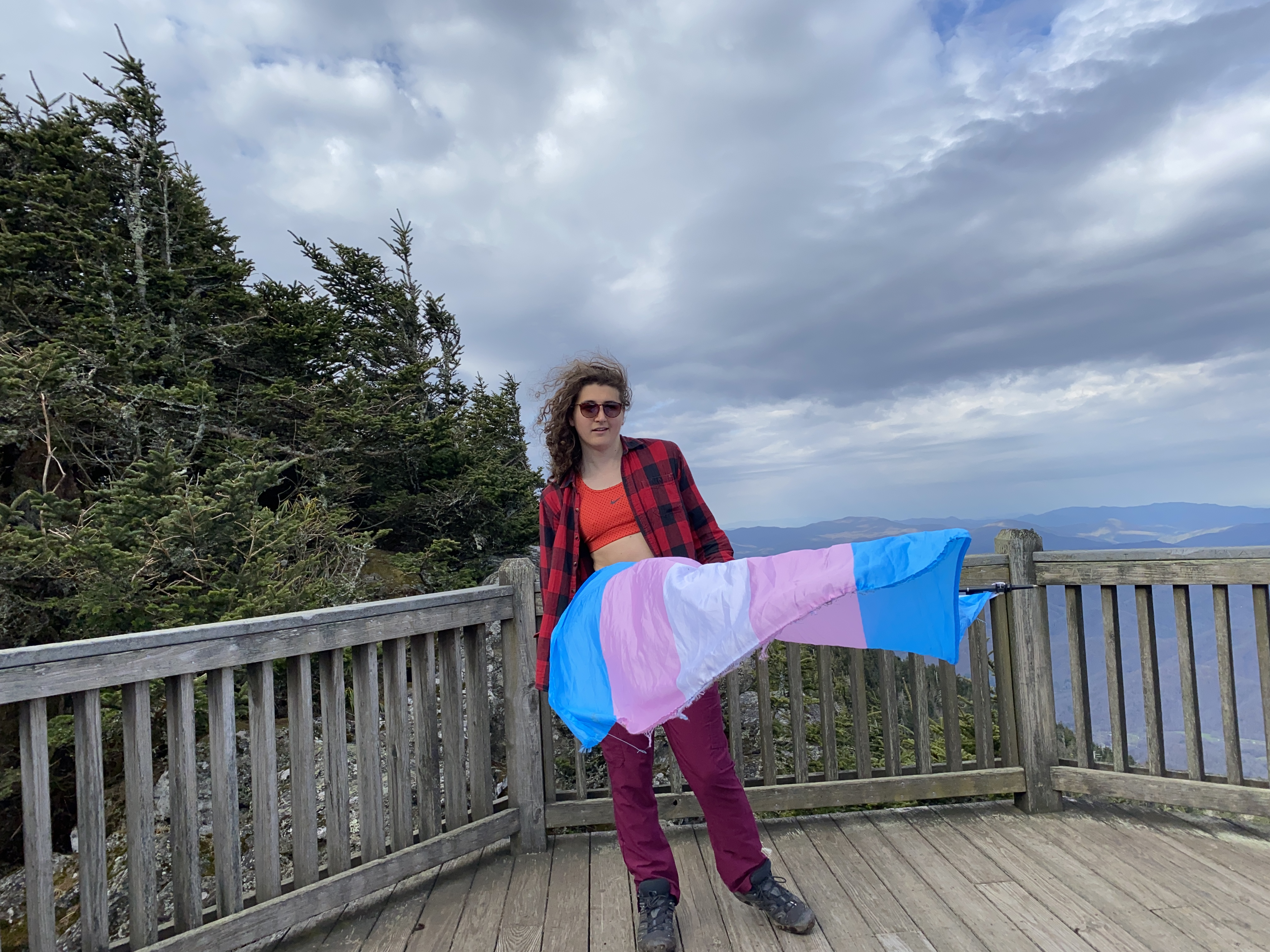
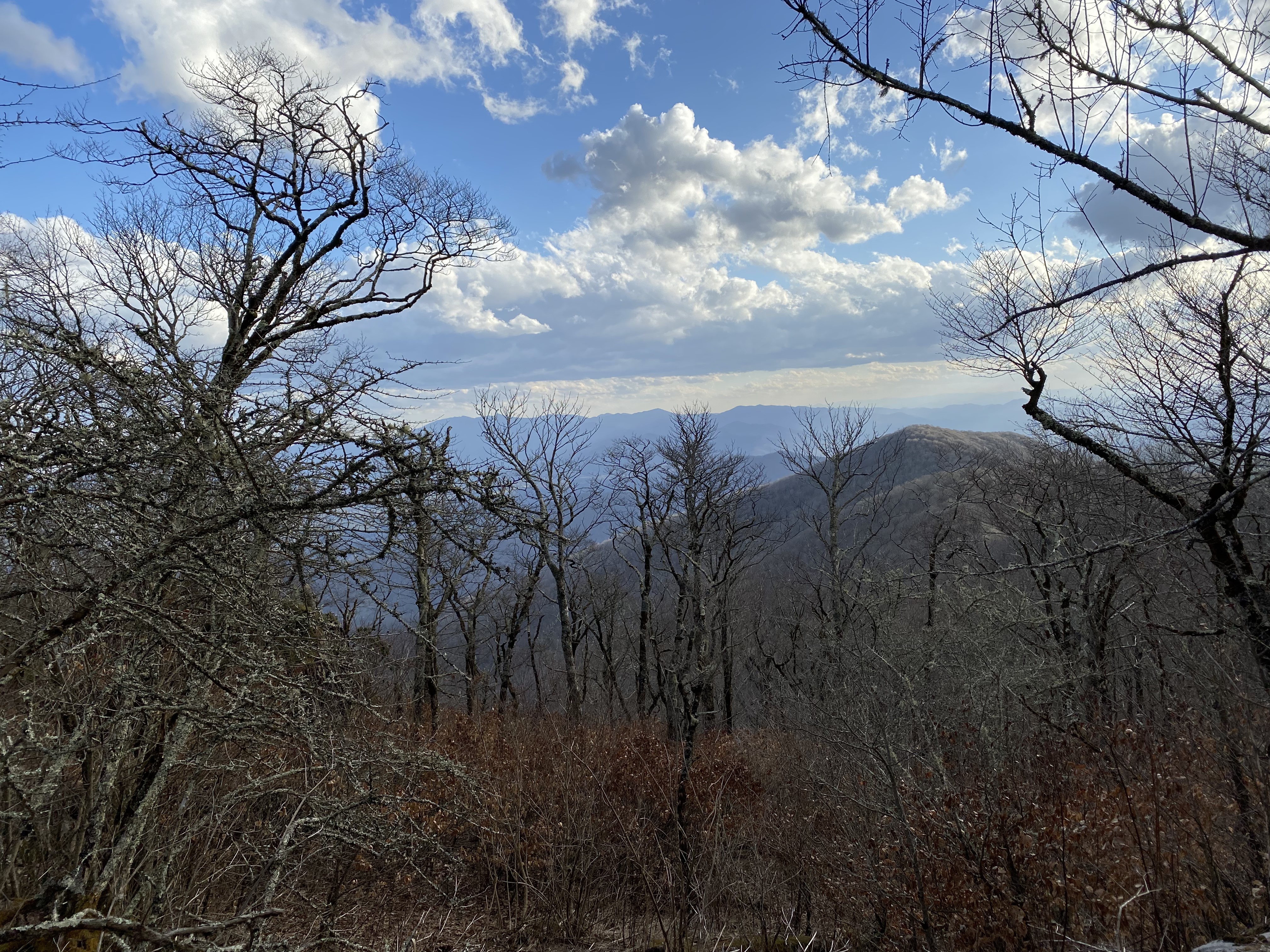
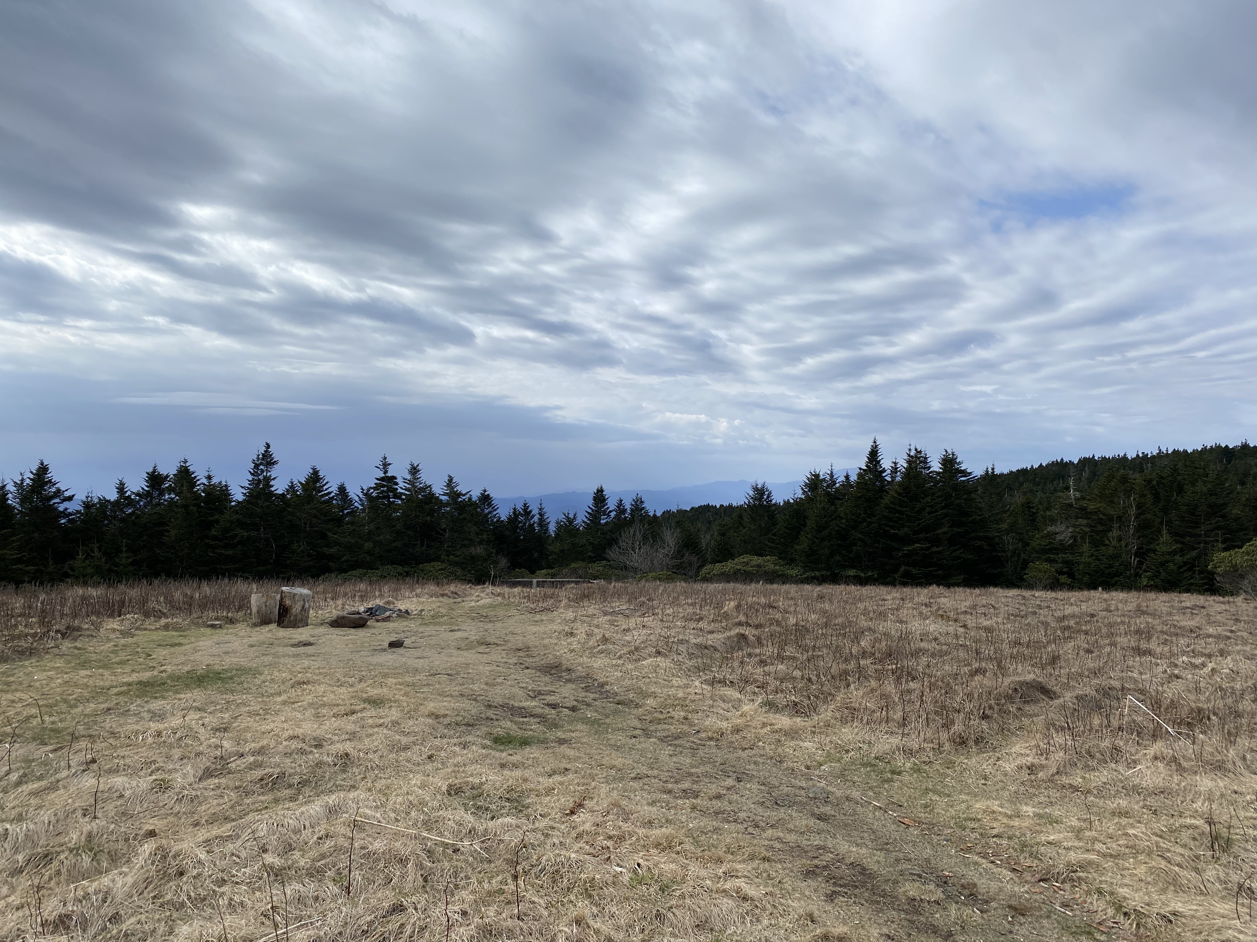
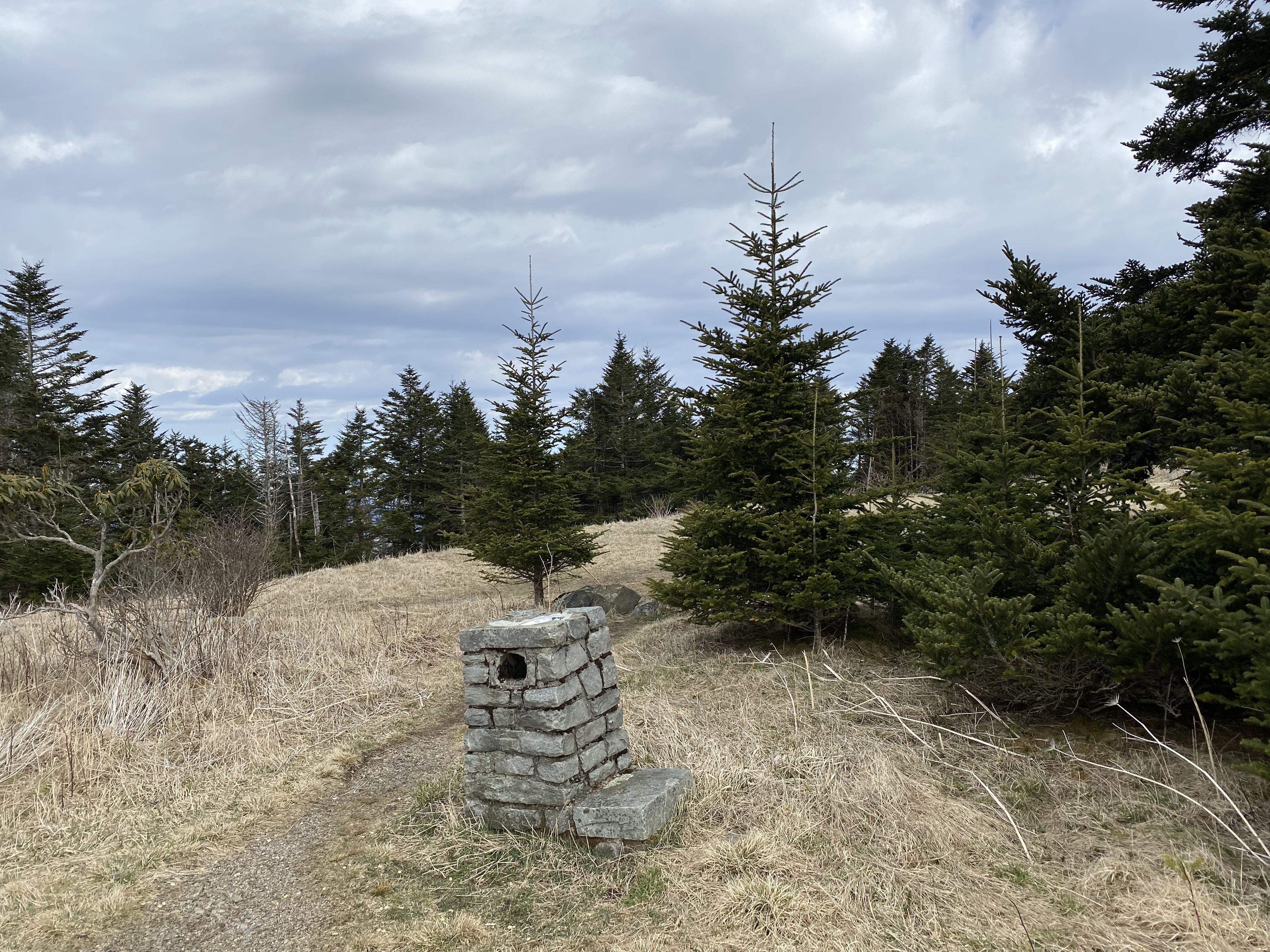
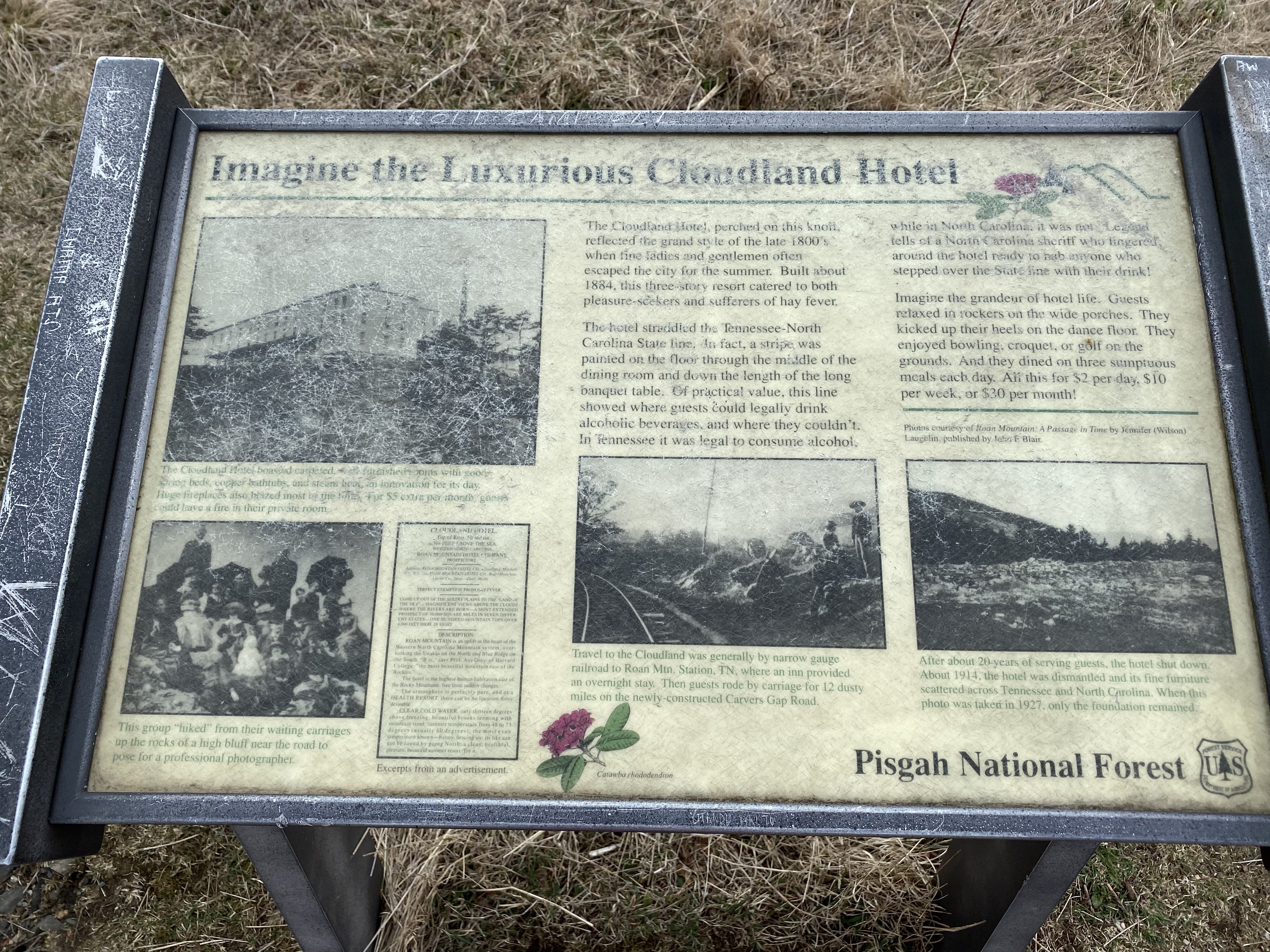
Biking back to Cloudland was fairly nice, and I was able to hop ove rto the summit, which offered some nice views to the south-southeast. I also saw a sign that was idolizing a hotel/resort that had previously existed on the mountain, talking about how luxurious it must have been - and for only $2 a night! Be sure to ignore the fact that an average rural worker made only a small fraction of that per day back then, and also ignore how the resort was almost certainly segregated - cause otherwise, how could we idolize our blood-stained past!?!?!?
Beech and East Beech
After a nap back at my van, I decided to head over to Banner Elk to get reception and figure out what to do next. There are a lot of peaks on the list spread throughout the northern bands of the Blue Ridge in NC. I eventually decided to do Beech because it was literally in the view of where I was parked, so I drove up and parked near the col between Beech and East Beech - I did have to pay though. I got back on Zelda (that's my bike's name) and rode over the subpeak between the two mountains, which hosted a private development complex - because where better to house rich people than at what would have otherwise been a peaceful and scenic peak?
I found a driveway under construction right at the base of East Beech, and while there was signage that forbade hunting, nothing was said about trespassing - this will probably change in the future, as it's almost certainly a rich asshole building up there. I hiked up about 0.1 miles to the end of the road and then had an easy bushwhack up to the summit.
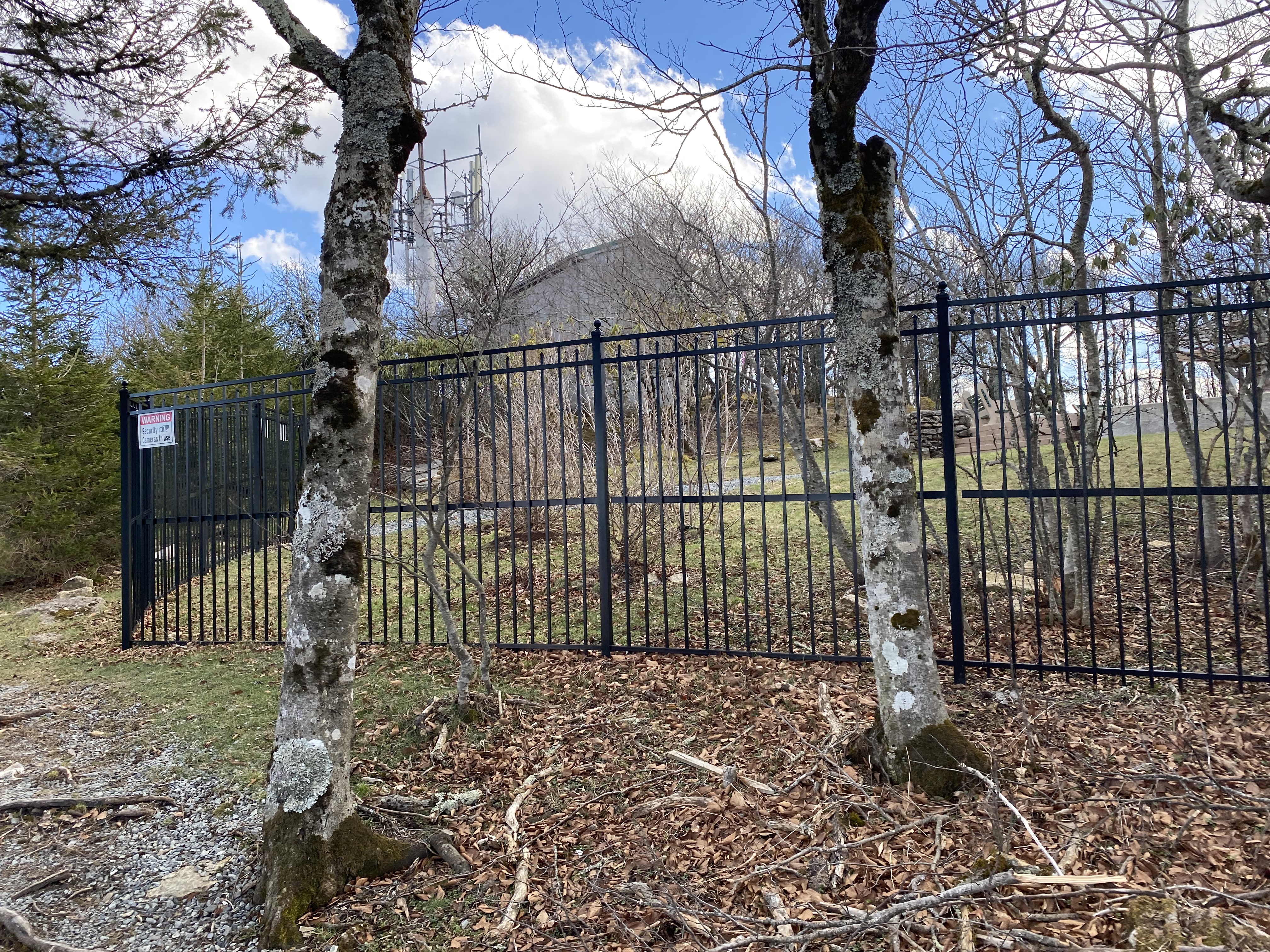
From East Beech I biked back over to the col and started up one of the residential roads to the summit before crossing over to follow Oz road to the summit. Obviously don't do this during the winter, as I cut across several inactive runs. The summit itself seems to be closed off to the public, so I just got my (poorly angled) shot at the top of one of the runs before cutting down the residential road on my bike.