Kuwahi Backpacking Loop, April 3rd-5th
My original plan was to do a five-day backpacking loop in the western Smokies, and in the process knock out every 5000fter west of 441 save Nettle Creek, Newton, and Hanging rock (all of which are significantly separated from the AT and the rest of the peaks on the ridge). The plan was to start from Lower Tremont and go to Campsite 21 the first day, hike up to Collins and over the top of Kuwahi to Campsite 69 the second day, go along the AT to Derrik Knob the third day, hike over to Campsite 9 the fourth day, and then back to Lower Tremont on the fifth. The goal was to hit Sugarland Mountain, Mount Collins, Mount Mingus, Kuwahi, Andrews Bald, Silers Bald, Cold Spring Knob, Mount Davis, Brier Knob, Thunderhead Mountain, De Armond Bald, Blockhouse Mountain, and Mount Squires in that order. Feel free to read the full story below, but I decided to bail on the second night after stealth camping on Mount Love due to an overestimation of my abilities at this point in the season. And even though I couldn't hit Mingus or Andrews, I still knocked out all of the remaining peaks to the east of Cold Spring, and the whole ordeal taught me some valuable lessons about backpacking solo - of which this was my first time, although I'd obviously had previous experience. That plus it helped whip me into shape
Lower Tremont Trailhead to Campsite 21, April 3rd
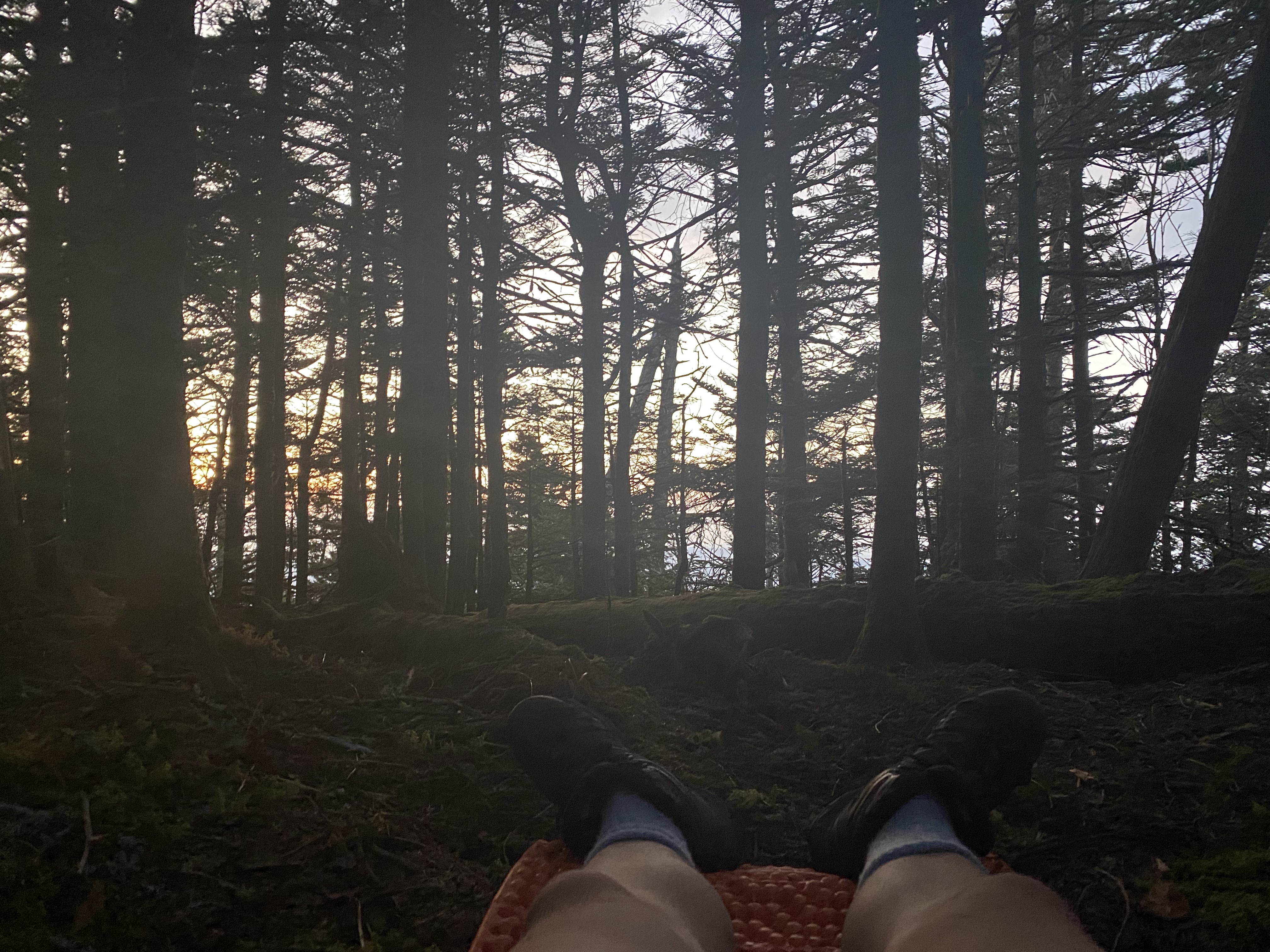
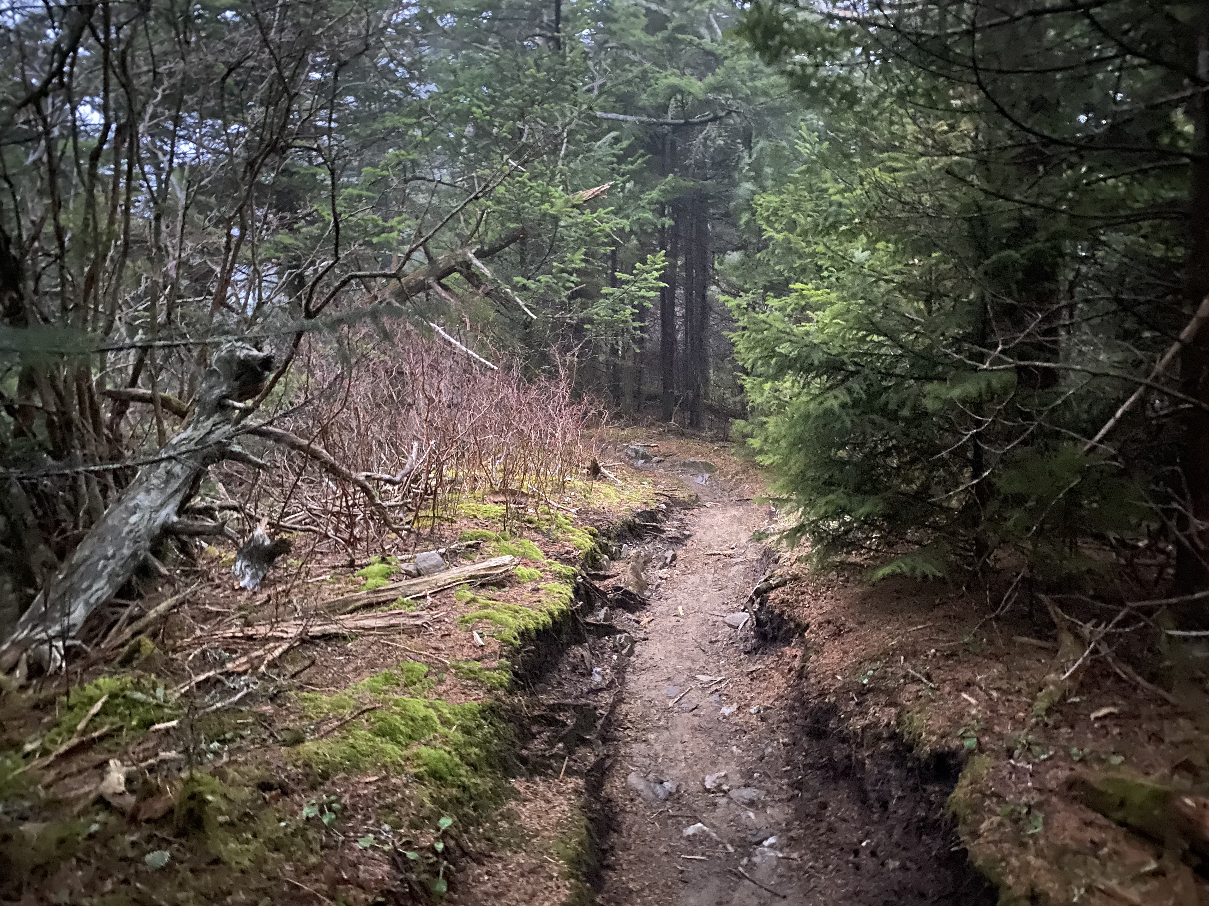
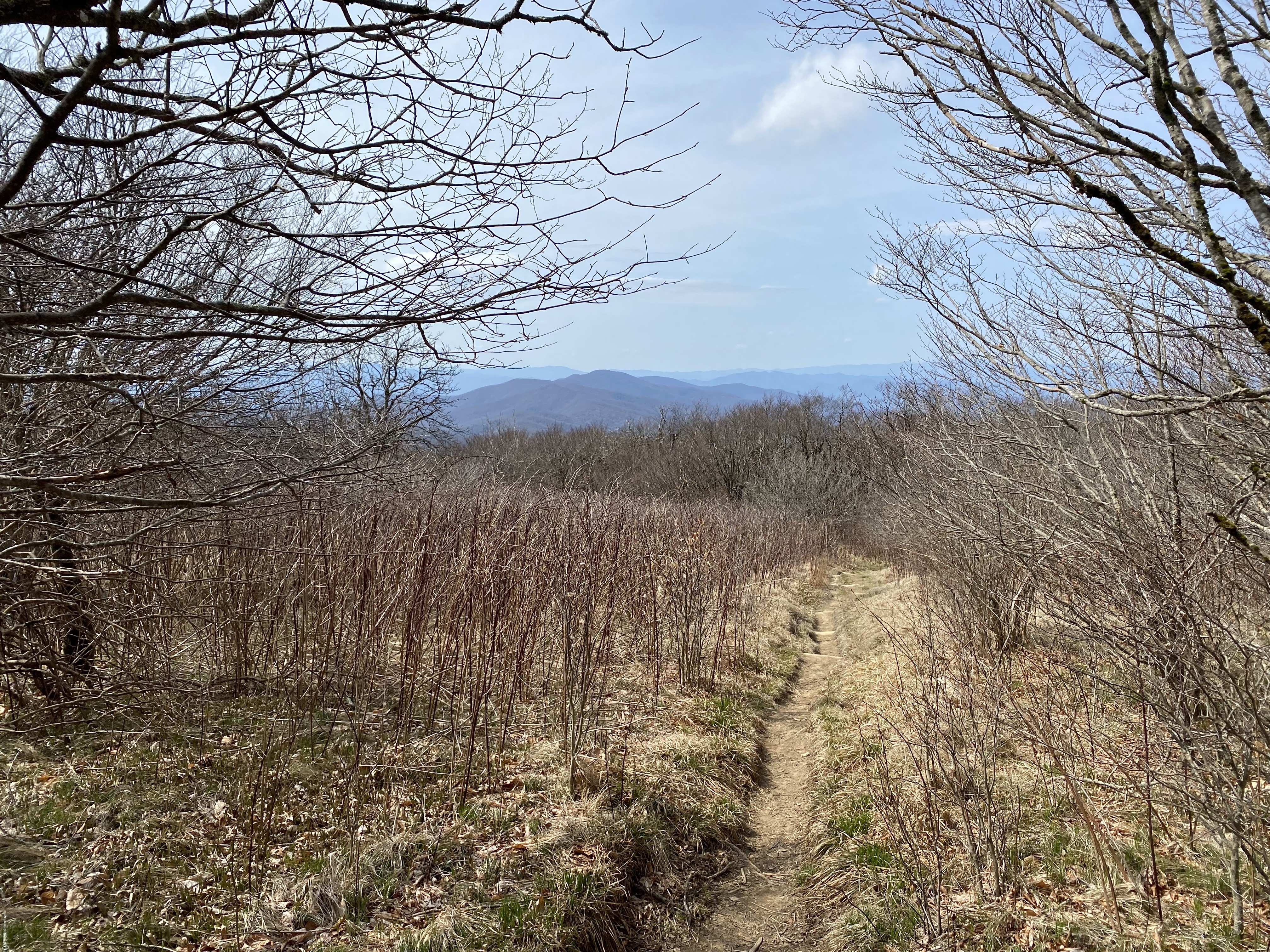
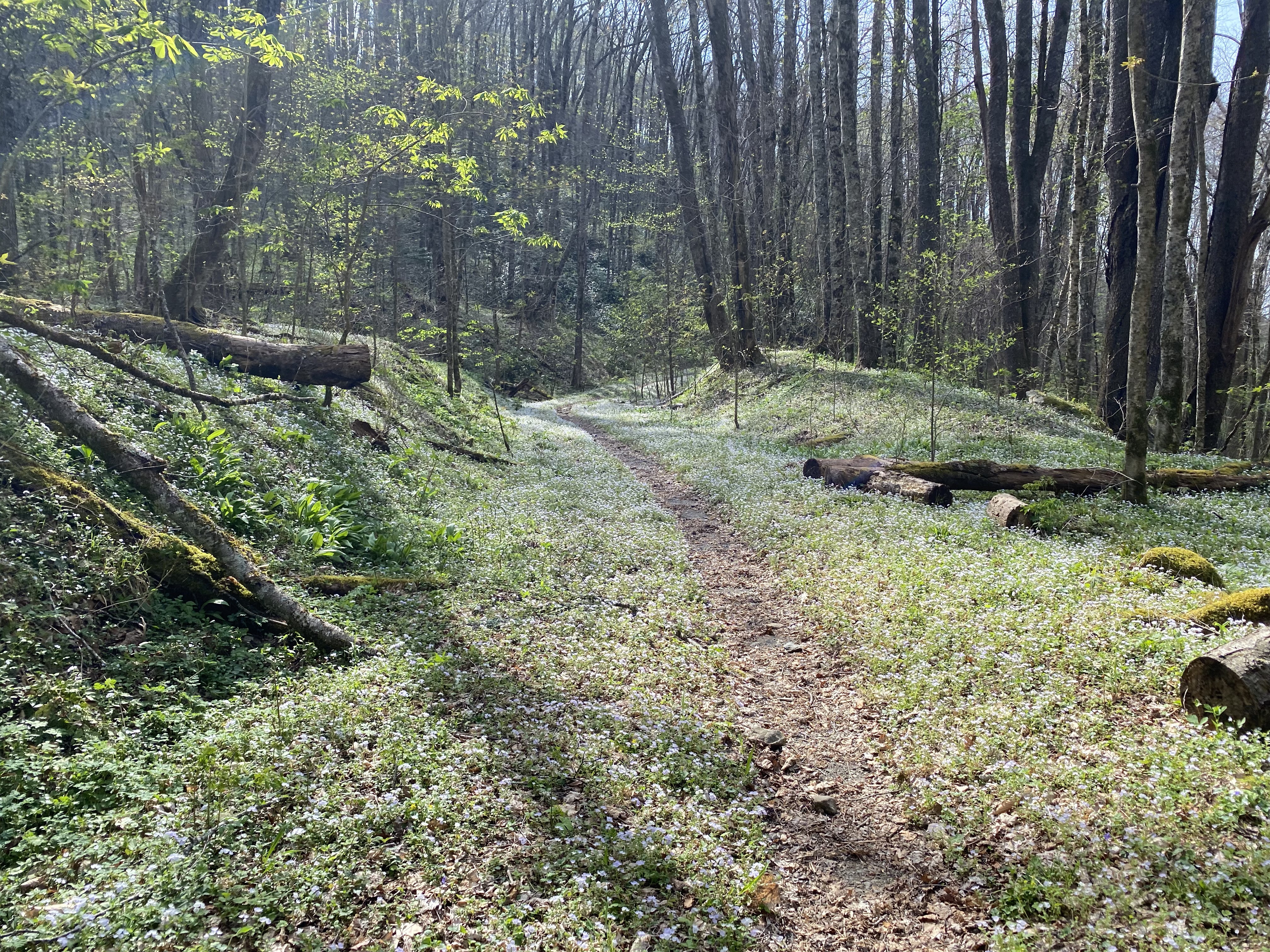
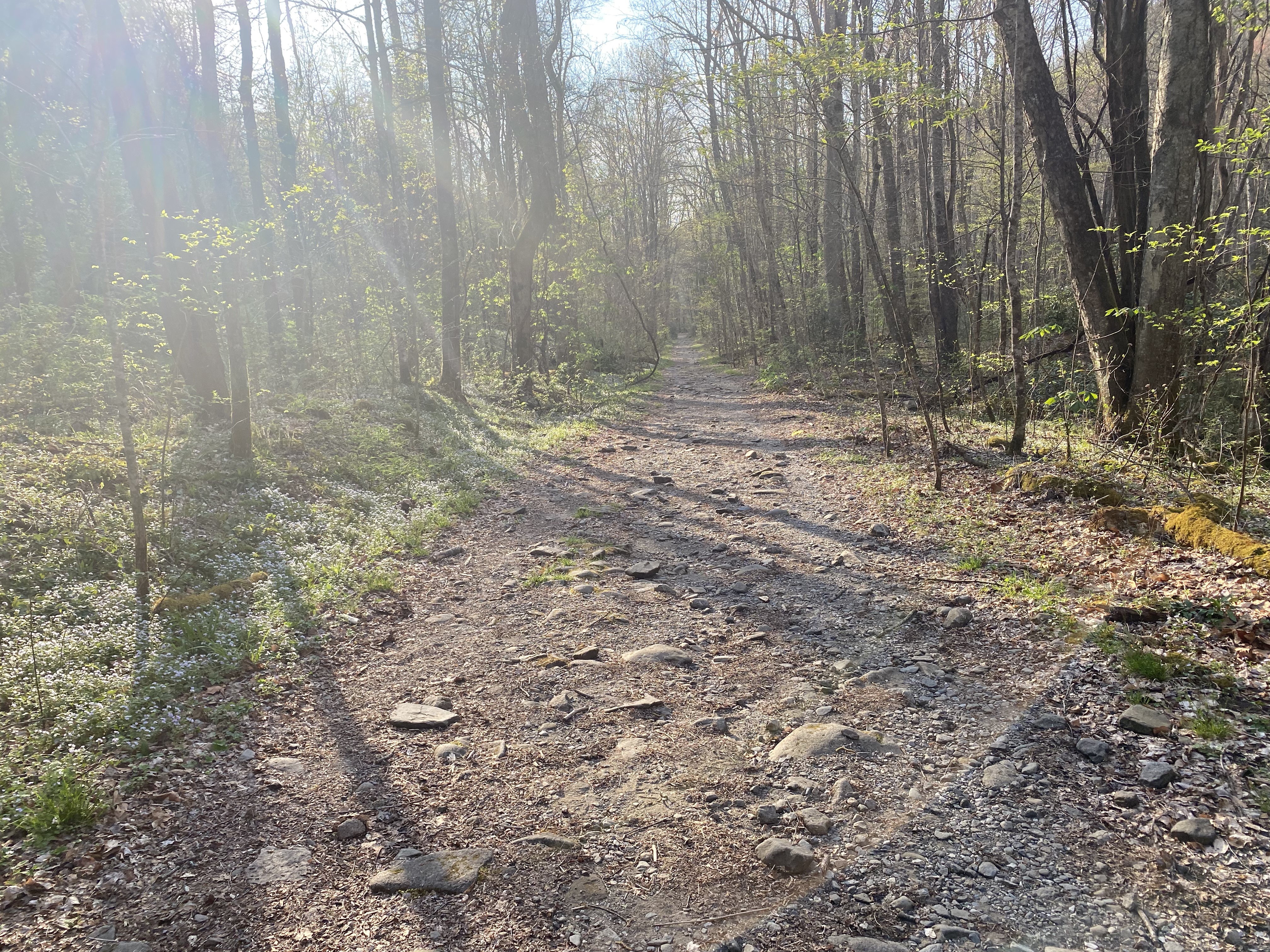
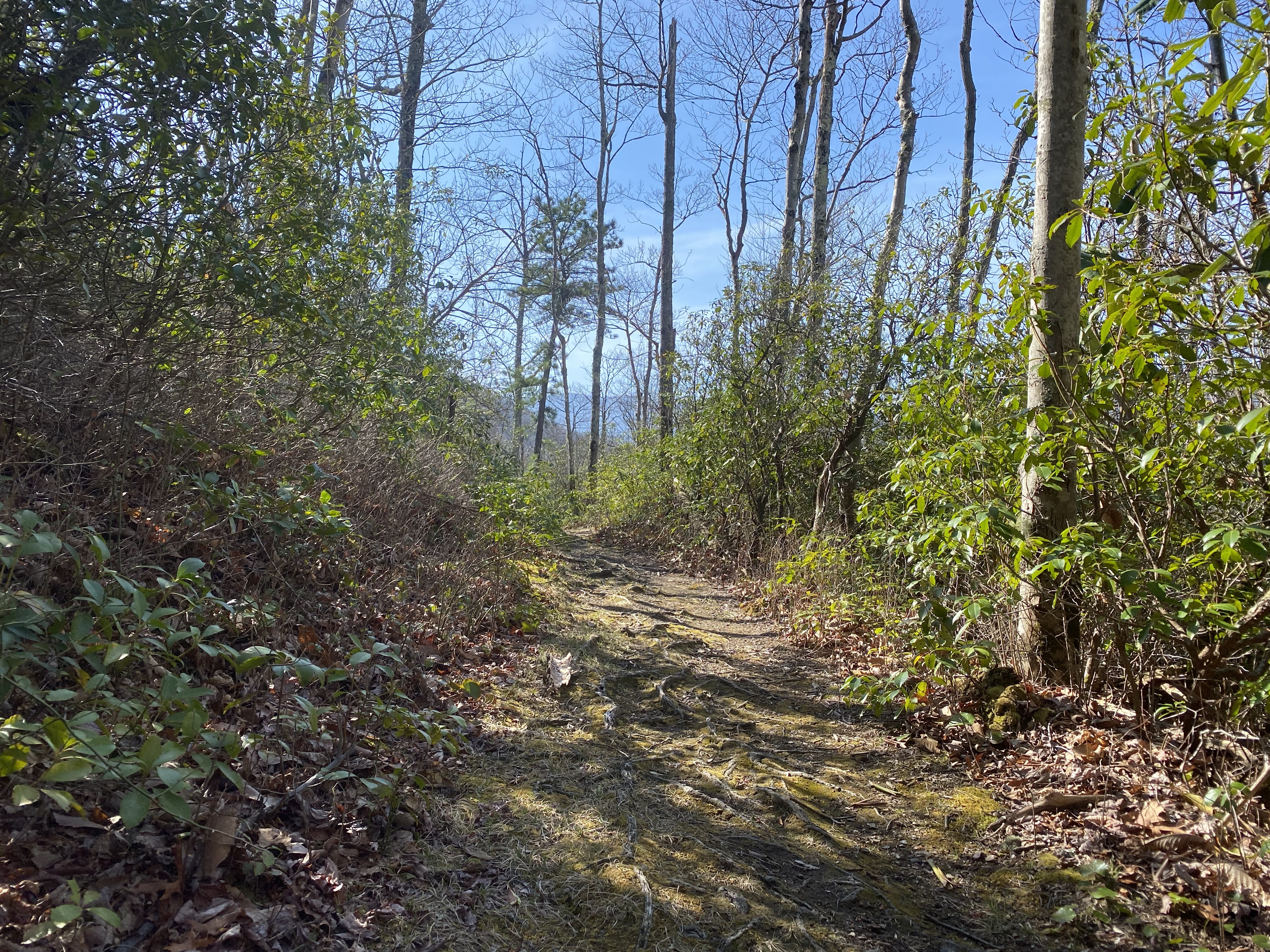
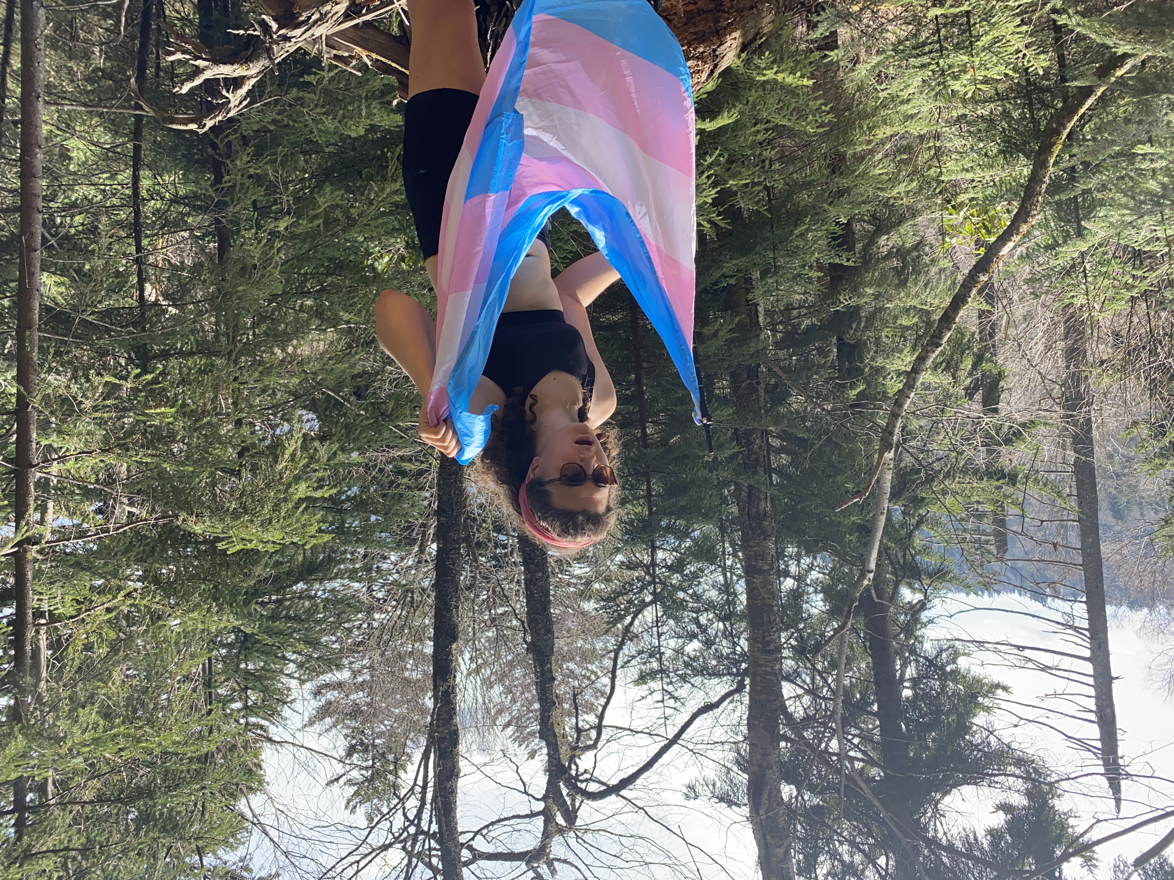
I parked my van at the institute at Tremont just across from the door to the visitor center. I was initially worried that they wouldn't permit overnight parking there, even though I had my annual parking pass. Spoiler alert but that didn't end up being a problem at all! After loading up all my shit I started up the Lumber Ridge trail, which was a fairly well-maintained trail minus the few unfortunate blow-downs. Continuing on the Megis Mountain trail I came across an old cemetary, which was quite an interesting little thing and a sobering reminder that communities are displaced in order to create national parks. And, obviously, the white people displaced in the 1900s to create the park that were the descendants of the white people who committed genocide in displacing indigenous people from the territory in the 1830s. This is rightfully Cherokee land and should absolutely be returned to them with additional compensation for the brutalization they've suffered at the hands of state and federal governments - not that that in any way makes right what happened and is still happening. The same goes for all indigenous groups displaced at the hands of white people. I don't think you can responsibly enjoy the outdoors without taking a firm, pro-indigenous stance on this issue (and if any of y'all have things you'd like to add/say, feel free to dm me on one of my socials - I'm just a white lady who's trying to do her best and is open to learning and growing on this matter). It is for this reason that I am using the indigenous name of the mountain, Kuwahi, as opposed to it's colonial name, Clingman's Dome. Anyhow, the rest of the hike was much the same, with nice trails leading up to the delightful little campsite
Campsite 21 to Mount Love, April 3rd
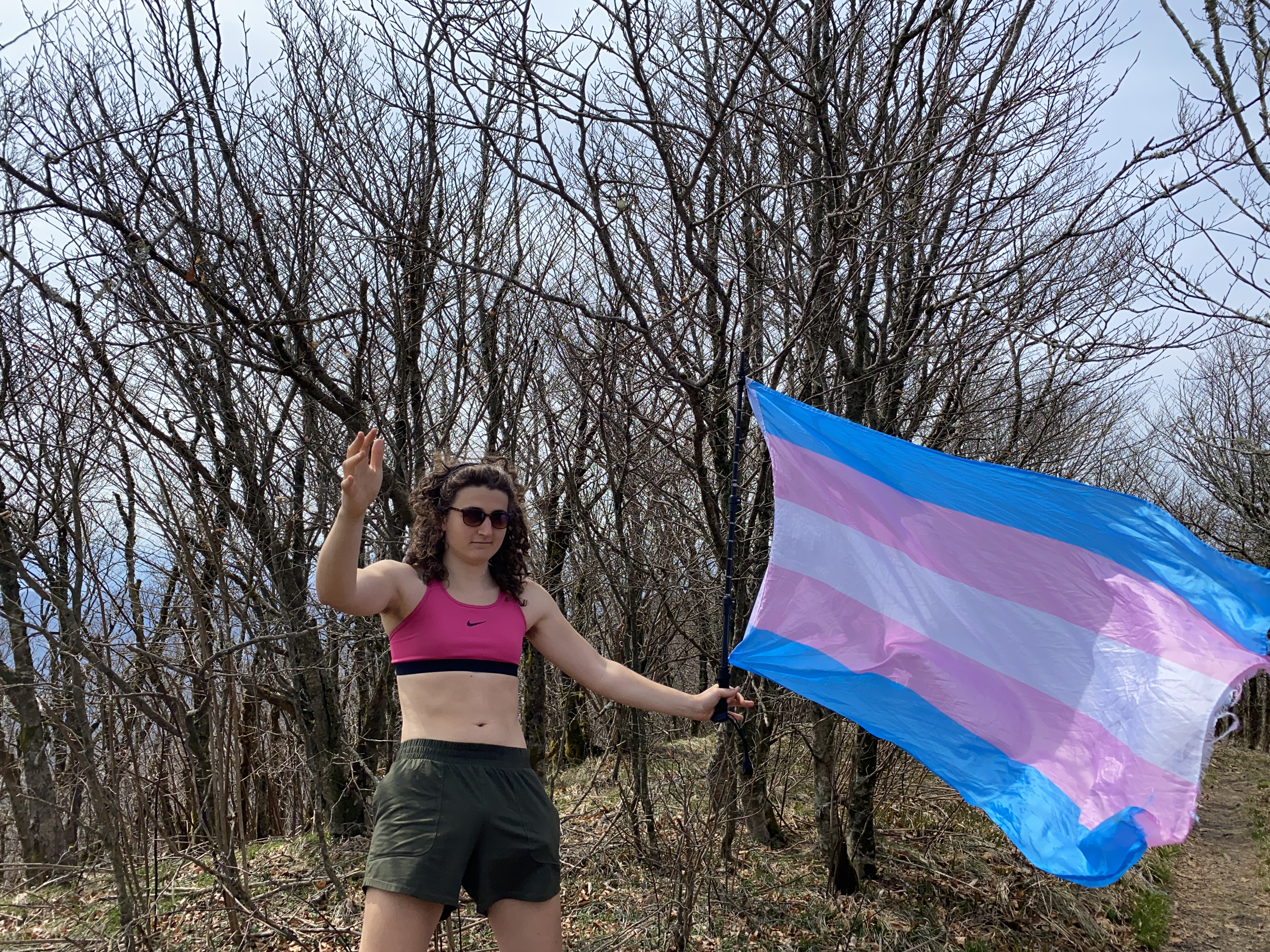
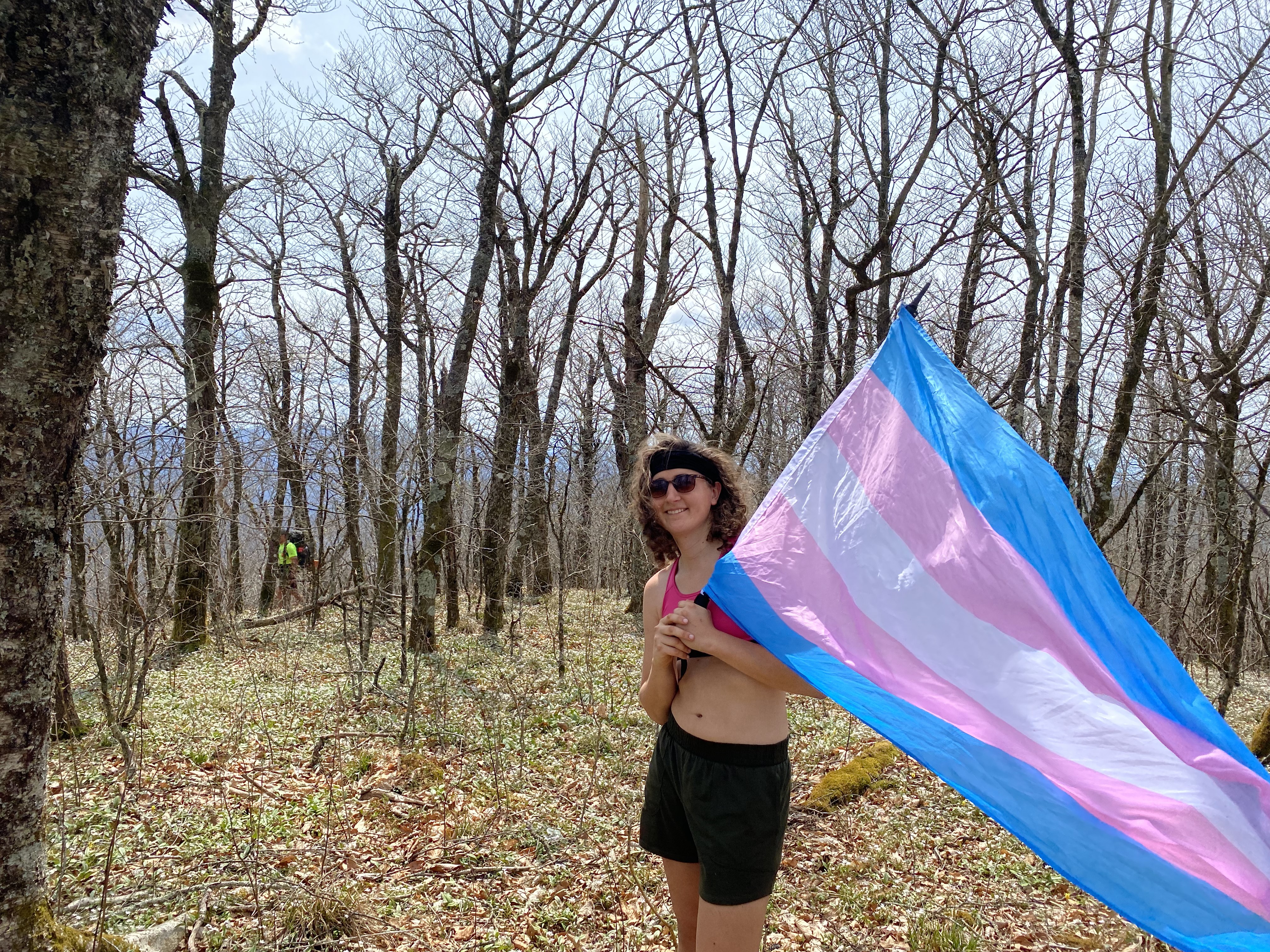
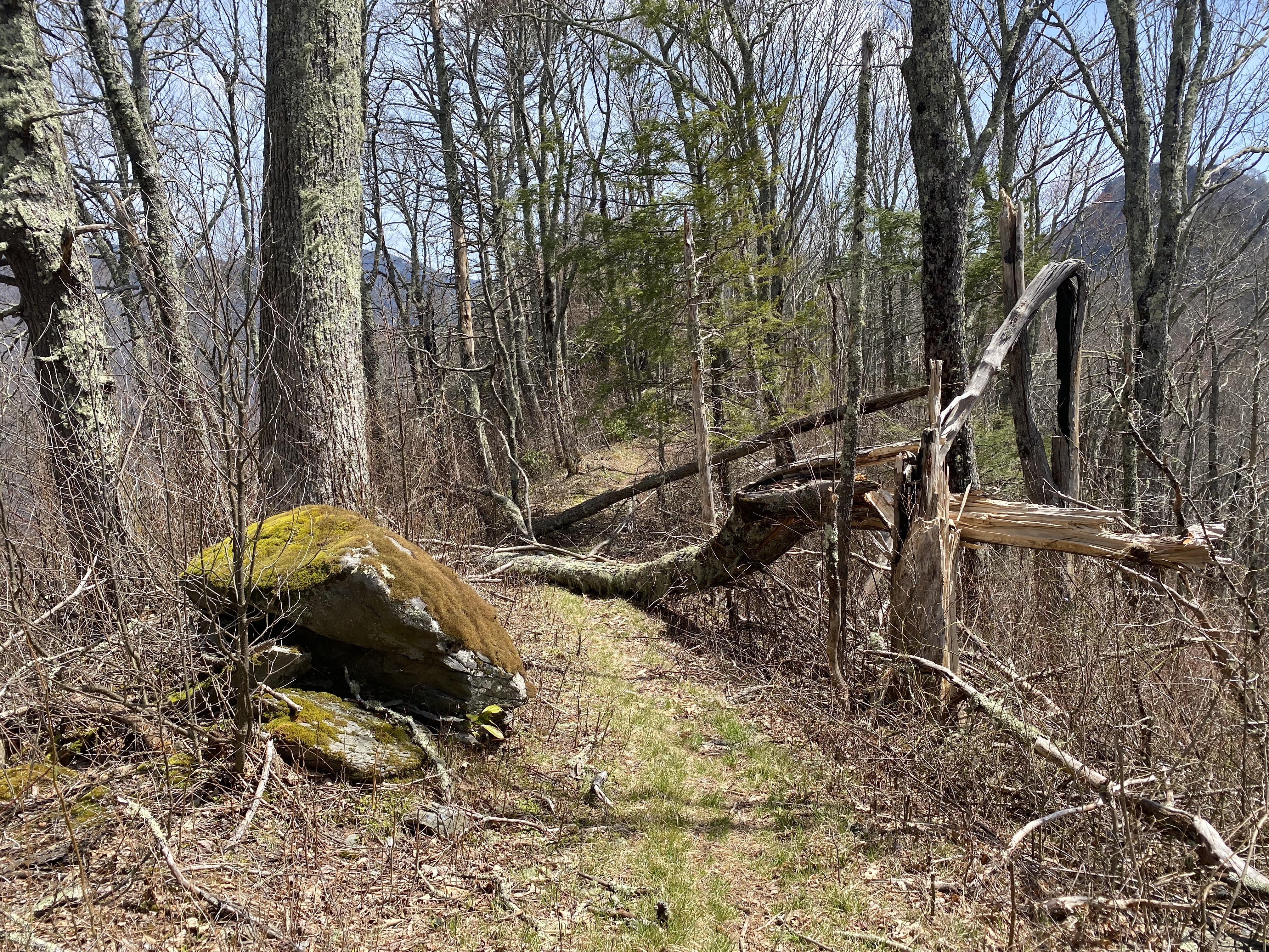
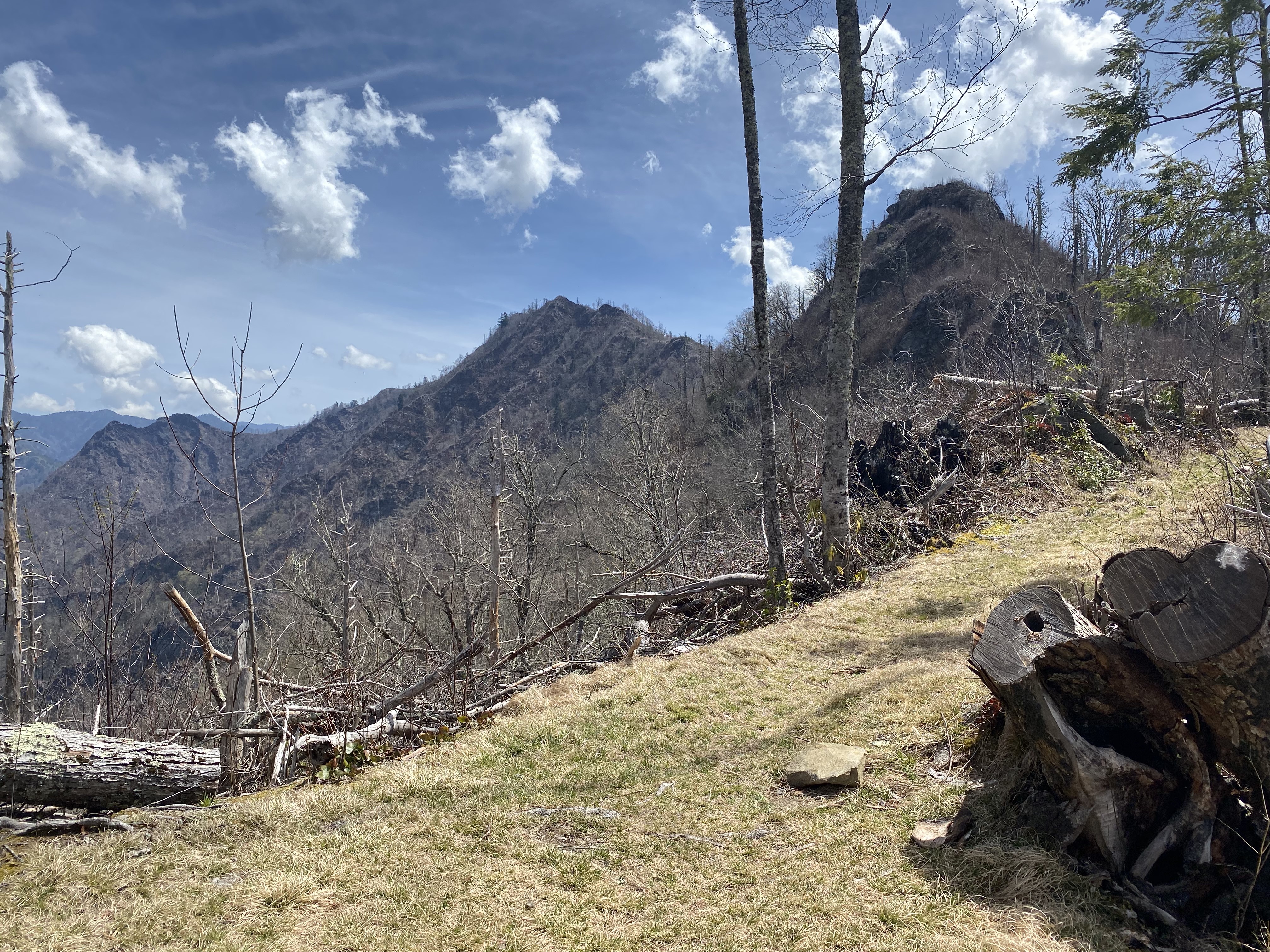
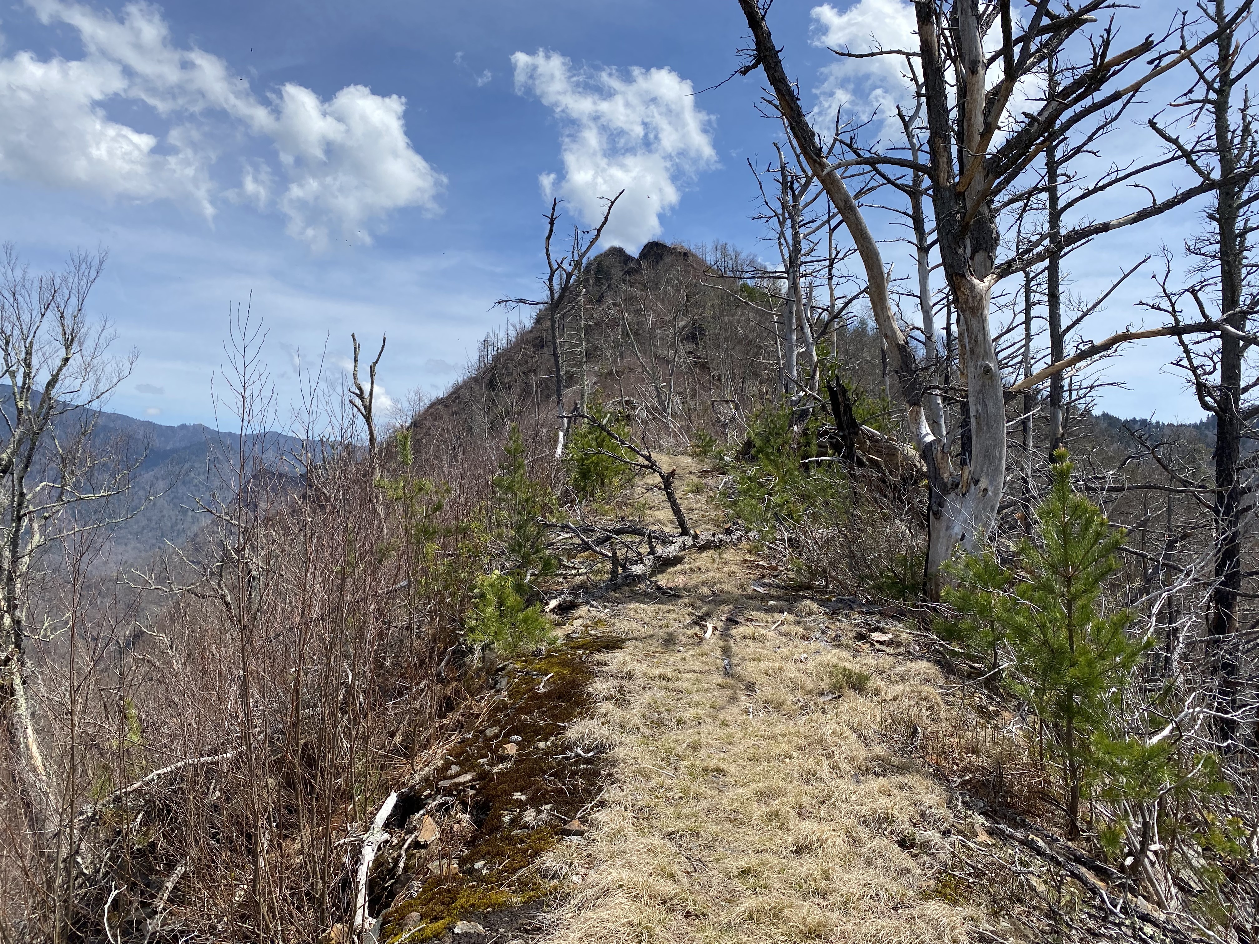
Day two saw me make a delightful ramen-onion-mushroom breakfast before starting up Huskey White Trail and Sugarland Mountain Trail - both of which were delightful. I should note that, after the intersection of Sugarland Mountain trail and Rocky Creek Trail, there are significant burn areas that make the ridge rather exposed. For me, this meant dealing with a lot more sunlight than I was prepared to, and my 2L of water quickly ran out. By the time I got to Sugarland, I was pretty exhausted, but I still soldiered up the 0.2 miles and 300ft of elevation gain for the bushwhack to the summit. The summit itself was pretty typical for a ~5400ft elevation peak, but I can't show y'all because my phone was dead by this point! Luckily I had a battery pack, but that was in my main pack, which I had dropped at the trail to save weight. By the time I got back down and charged it up, I had no water left, and I just couldn't safely go back up to get the photos, and then hike another several miles that day. So I went about 20ft up the bushwhack and took my photos there - but rest assured, the flag did fly over the peak, I just couldn't capture that specific moment. Onward to Collins, which was a nice little peak. By this point, I had ascended nearly 5000ft of elevation with a 40lbs pack over 14 miles, after three days of hard hiking in a row. My plan was originally to go down to campsite 69, but that would have me losing 2000ft of elevation to regain the next day, and I just didn't have the strength or time in the day to do that. So I stealth camped near the summit of Mt Love, which is definitely something I would not recommend for reasons of preserving the wildlife and not getting fined, but which I did anyway due to my circumstances. I should have known my physical limits better and planned a more reasonable day - because not only was I planning on doing all of that, but also was going to hop over to Mount Mingus, which wouldn't have been a good idea at all for me in that moment!
Mount Love to Lower Tremont Trailhead, April 3rd
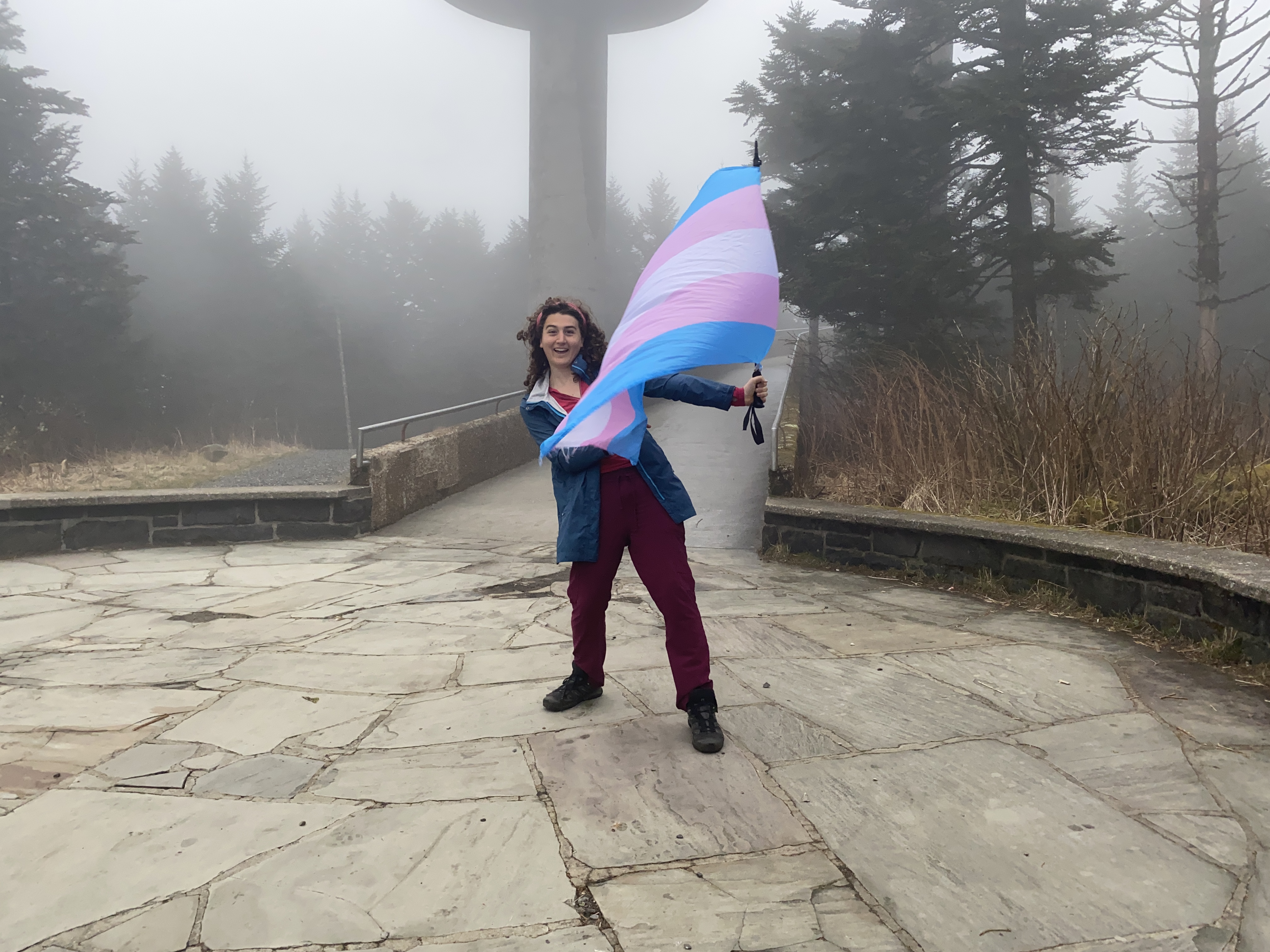
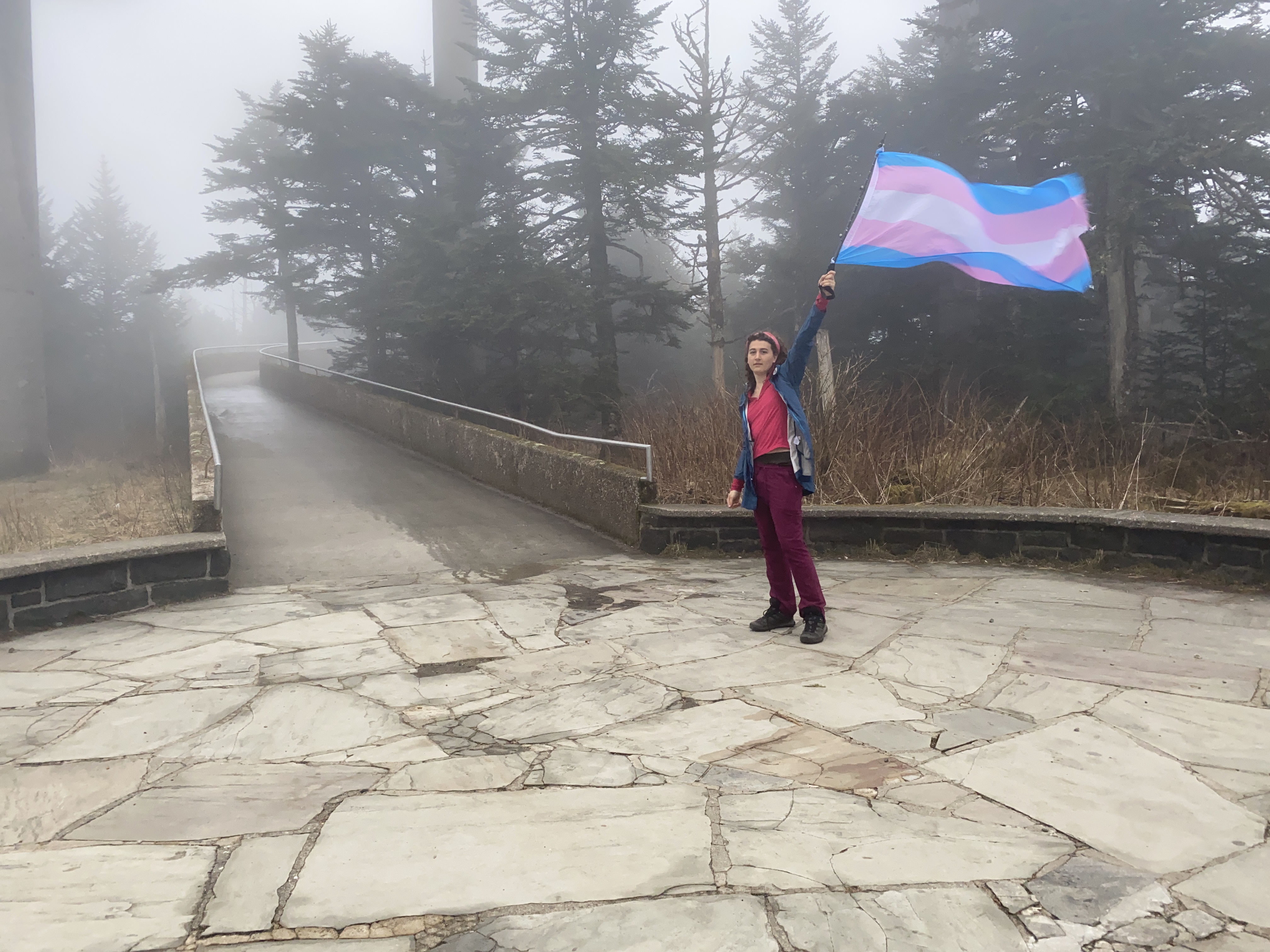
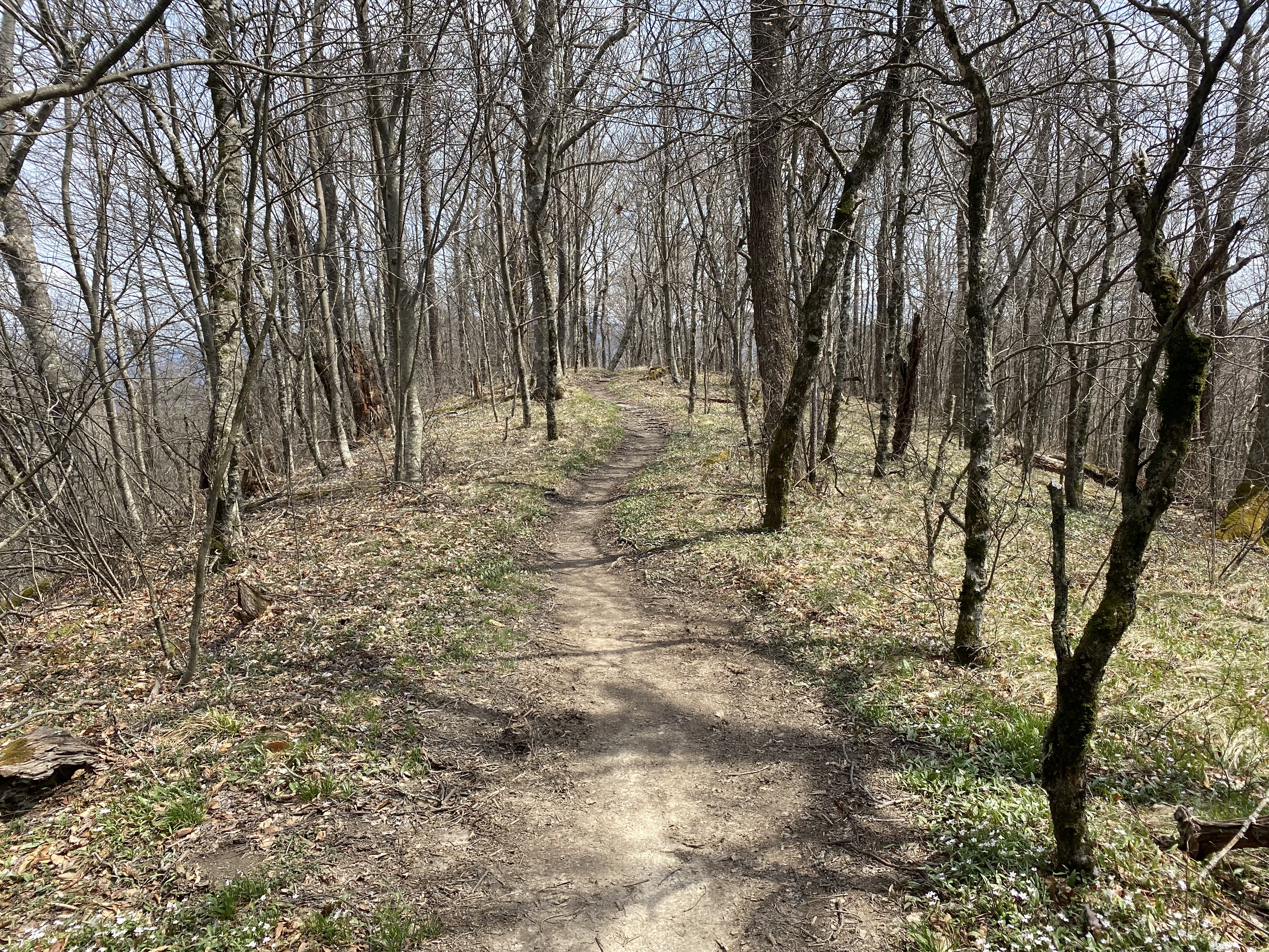
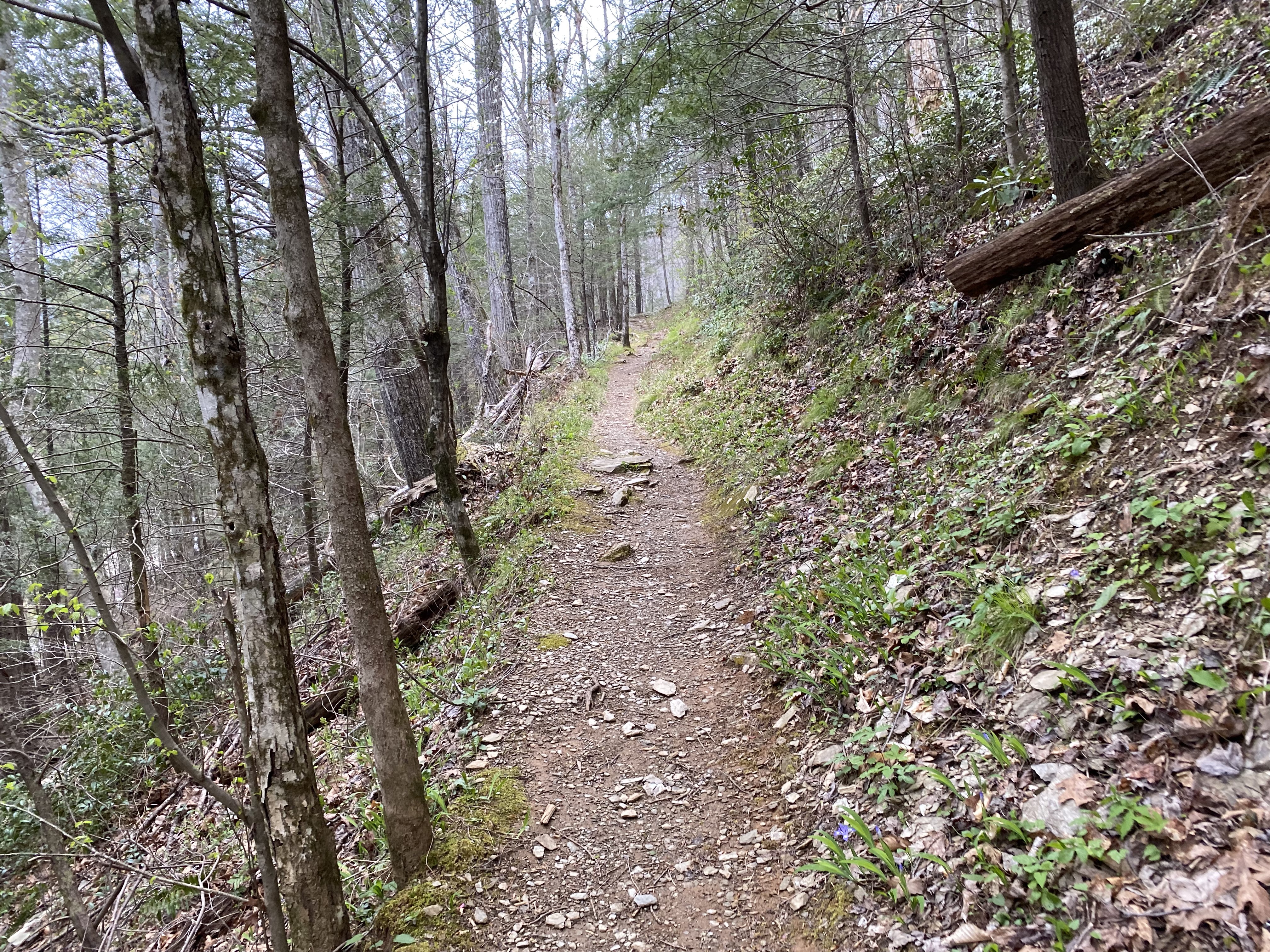
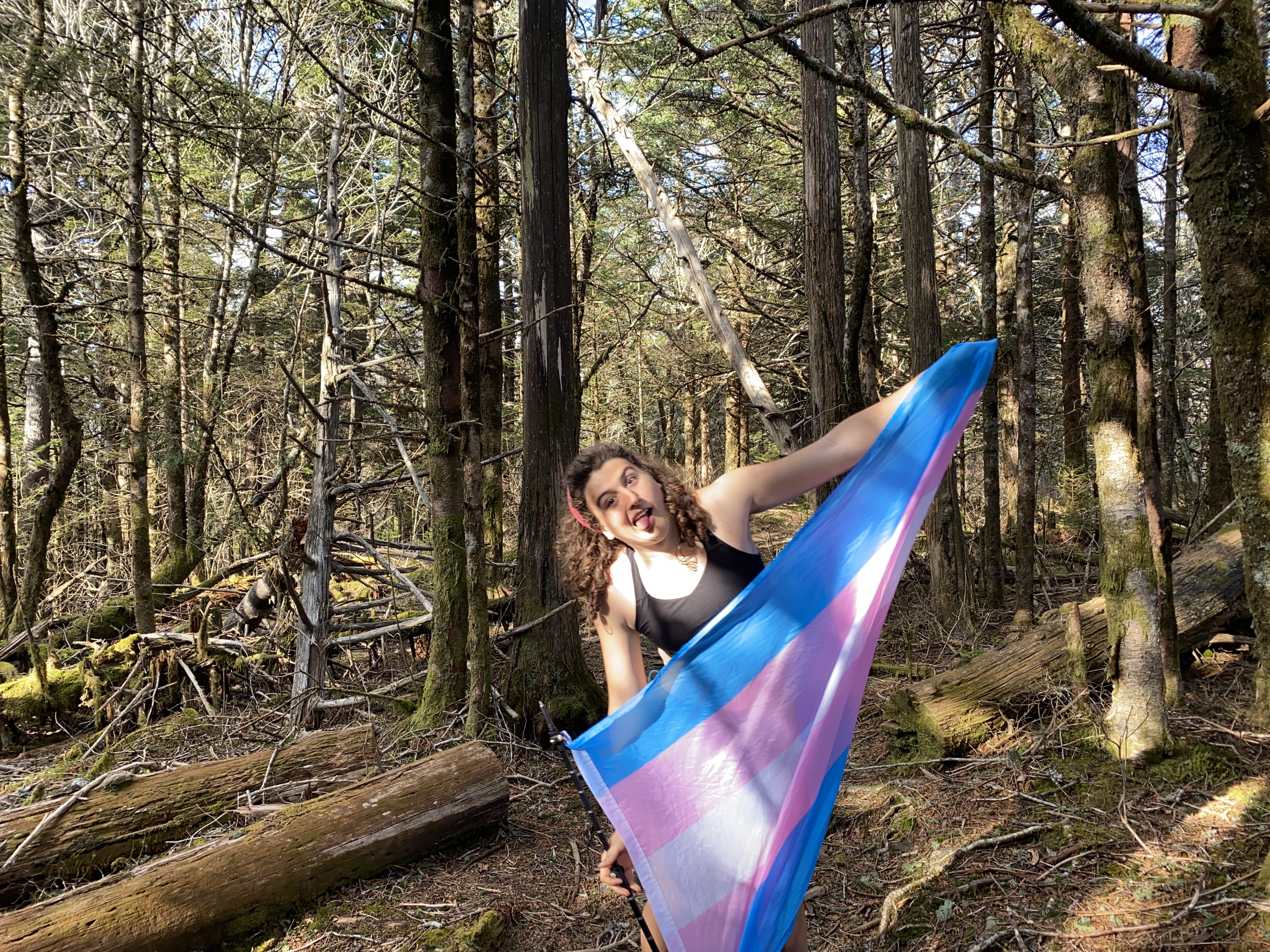
I ended up getting all packed up and ready to go the second before a ridgerunner passed by, and I was able to avoid a ticket by saying I camped at Collins Shelter. Nevertheless, I pushed on to Kuwahi. I knew this peak was really touristy, but I was quite frankly shocked to find a total of twenty-or-so people go up and down the fire tower at 7:30am on a rainy, foggy Wednesday in April. Still, I ended up getting about 2-3min at the summit to myself, and got some nice photos out of it! Onward to Buckley, Jenkins, Silers, and Cold Spring - all of which wer on the AT. I met some delightful through hikers at one of the shelters before Jenkins, and used the time to eat my breakfast. Jenkins was nice and had some beautiful wildflowers on it, and Silers and Cold Spring were both largely similar. Nice photos on each. IT was at Cold Spring that I made up my mind to bail because I was just pushing myself too far with the shape I was in and I just didn't have enough or good enough food packed for the rest of the loop. So I went on down from Cold Spring along Miry Ridge Trail, Lynn Camp Prong Trail, Middle Prong Trail, and then finally another three or four miles on Tremont Road. These trials were well maintained save a few rather-significant blowdown sections on Middle Prong, but god it was so much. By the time I was on Tremont Road I had done at least 18 miles of hiking that day with a 40lbs pack following four days of difficult hiking for me. I was at my witts end, but I made it. I'll have to return for the peaks to the west of Cold Spring, but that to-nighter will be a piece of cake compared to this with the better planning I'm gonna do and the better shape I'm in. Lessons learned, let's see how well my next solo backpack goes