Chunky Gal Mountain and Sandymush Bald, April 7th and 10th, 2023
Chunky Gal Mountain, April 7th
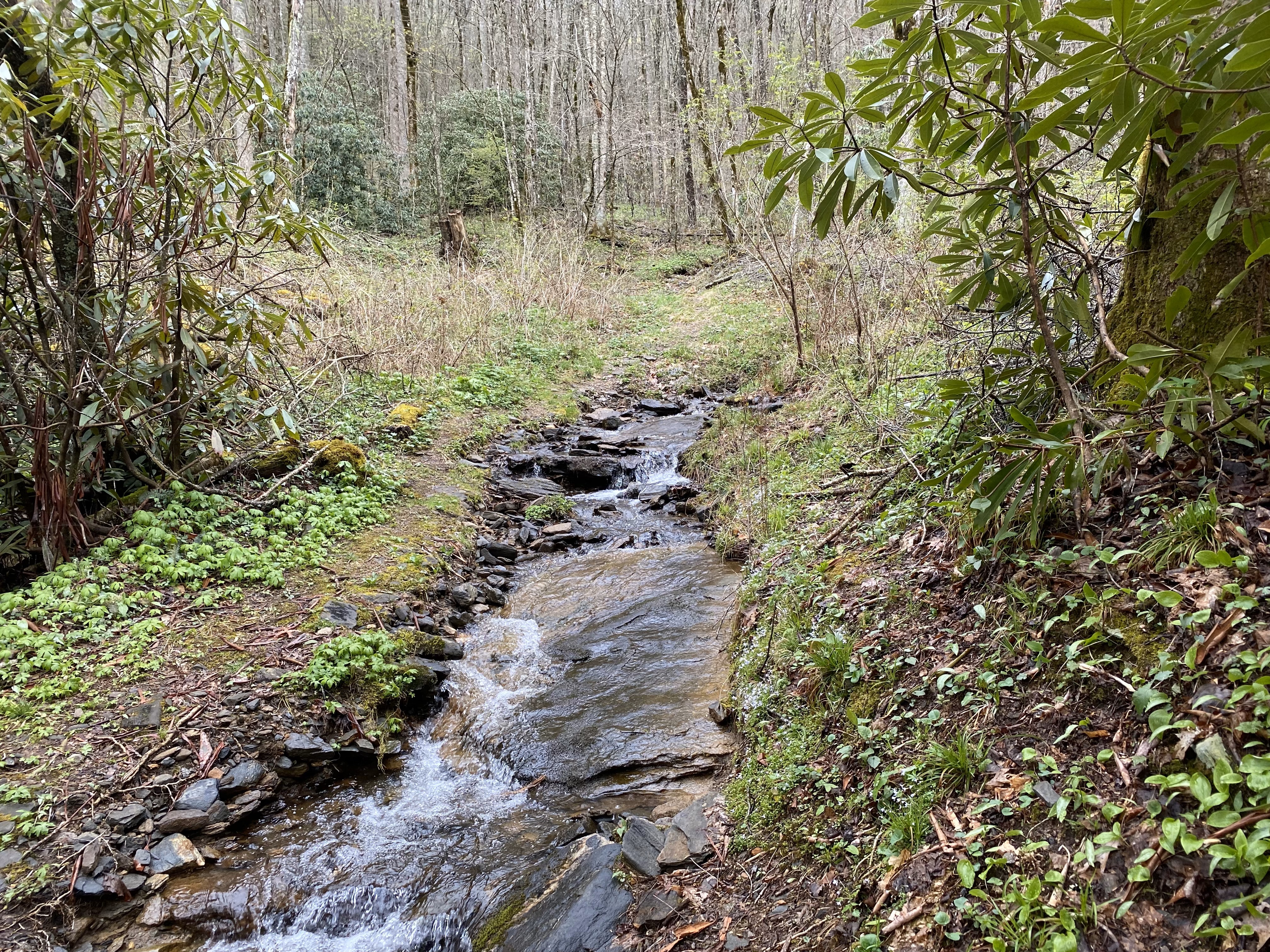
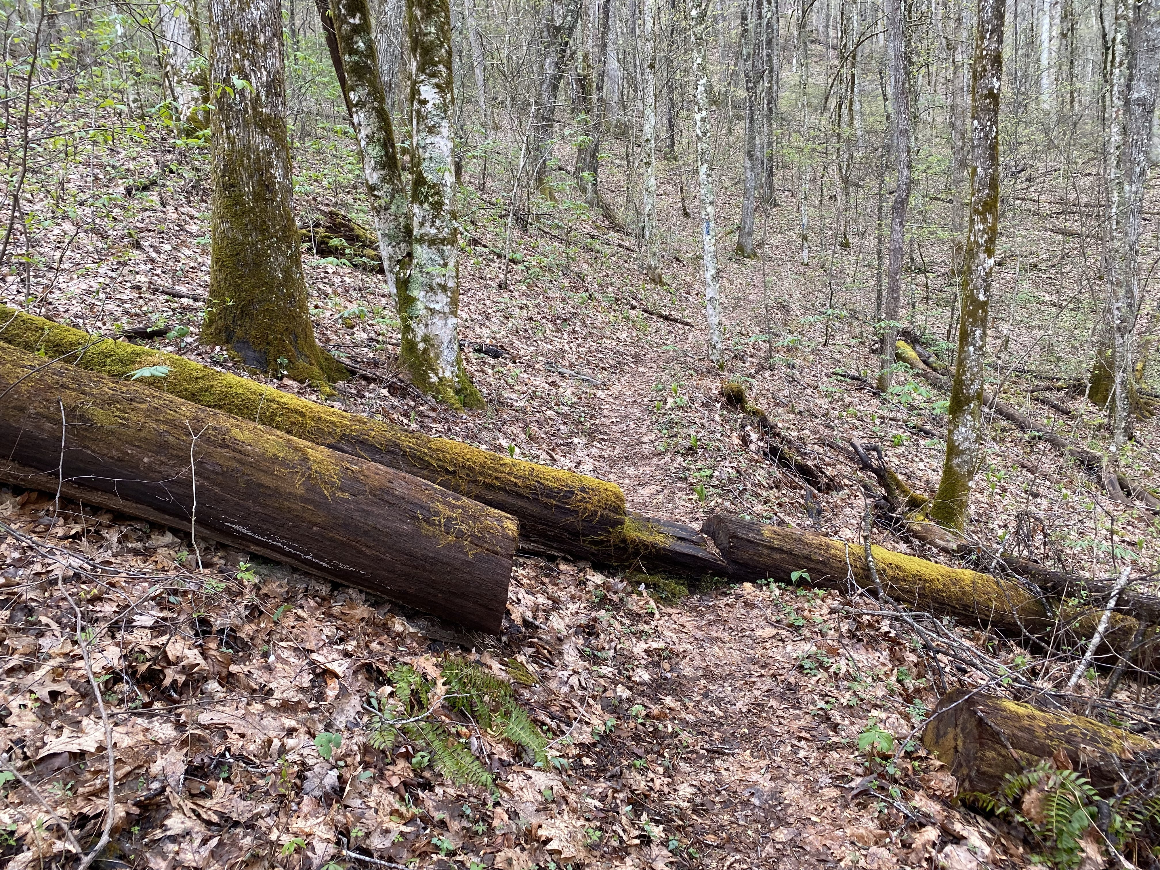
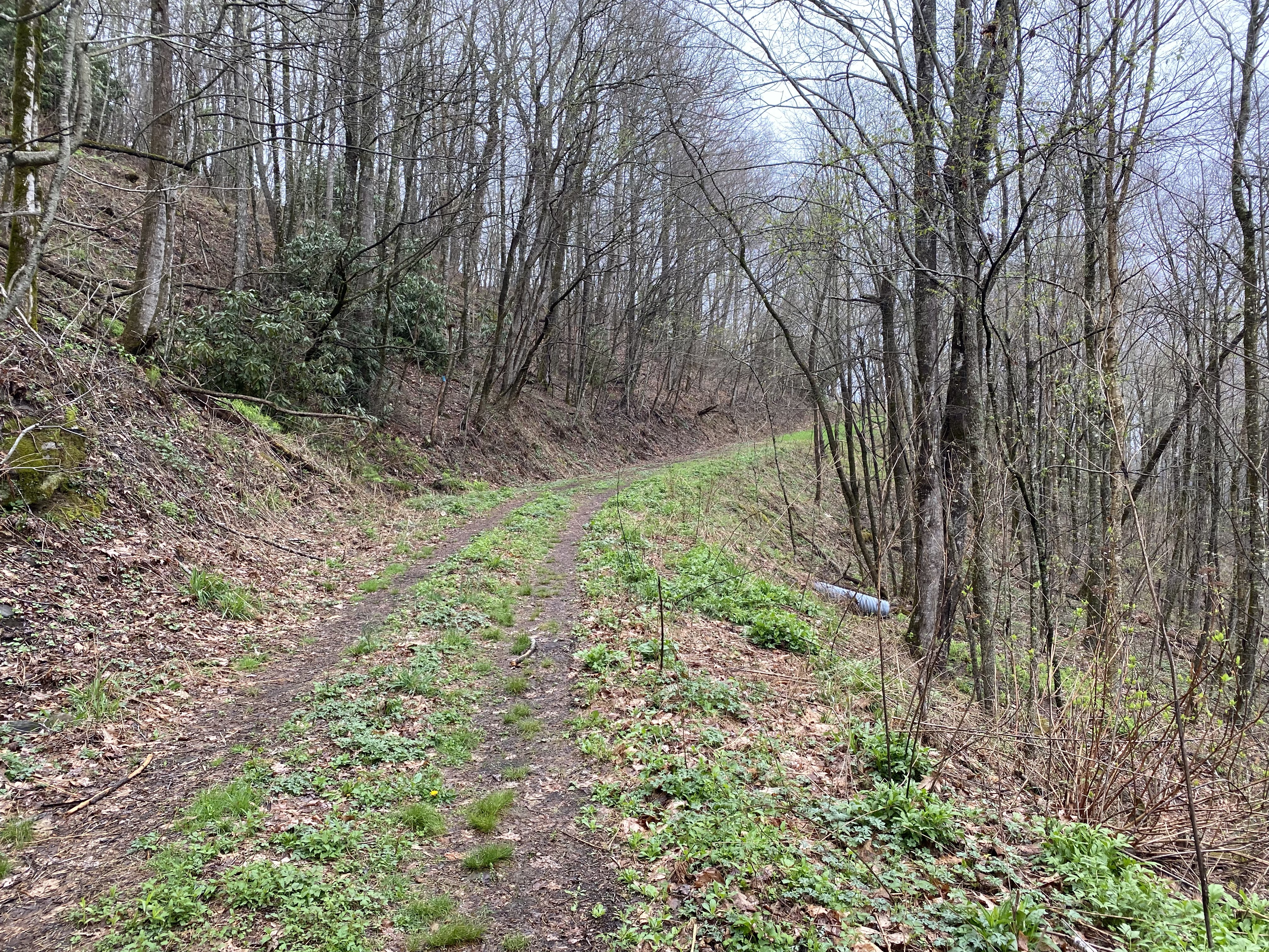
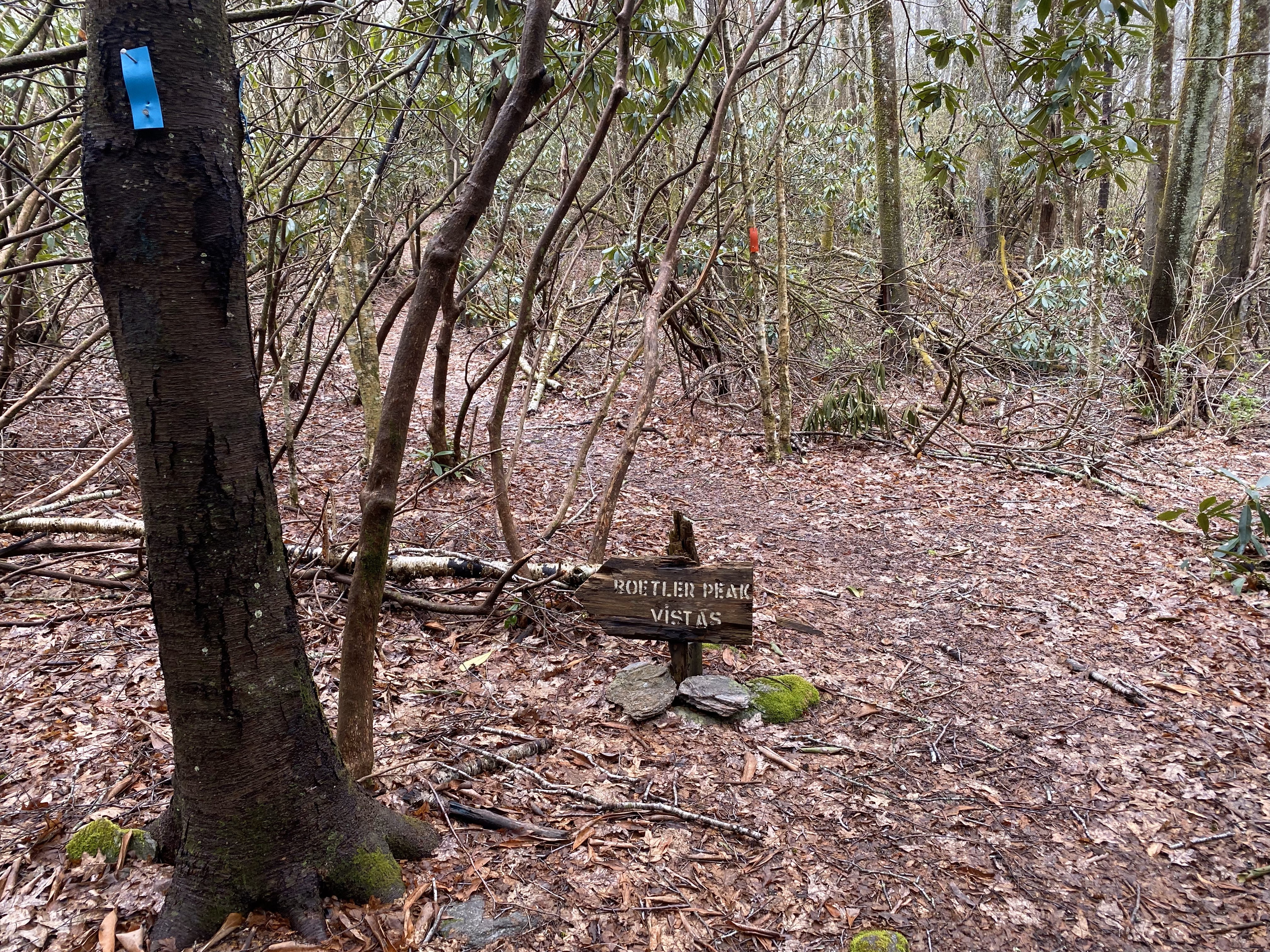
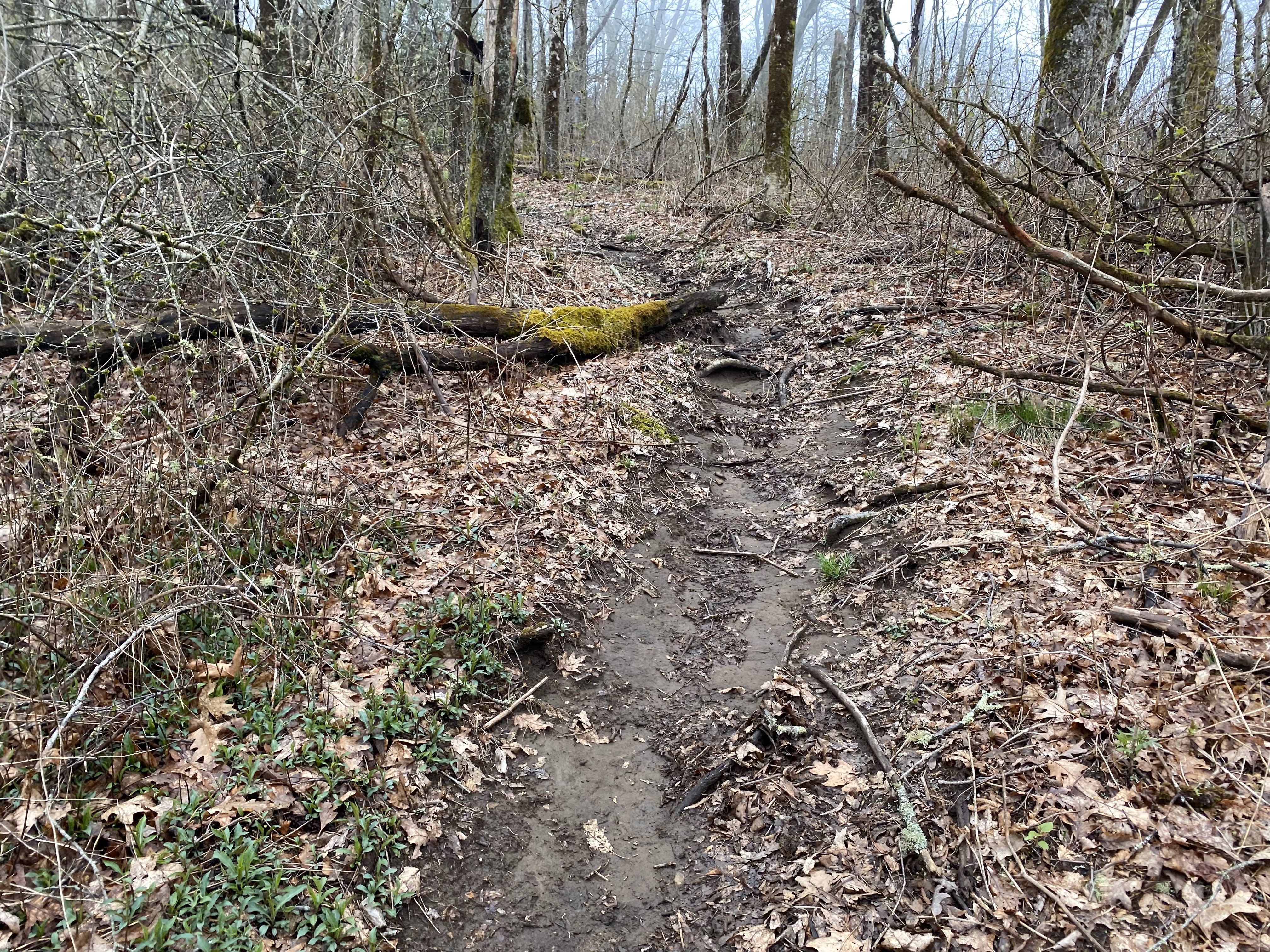
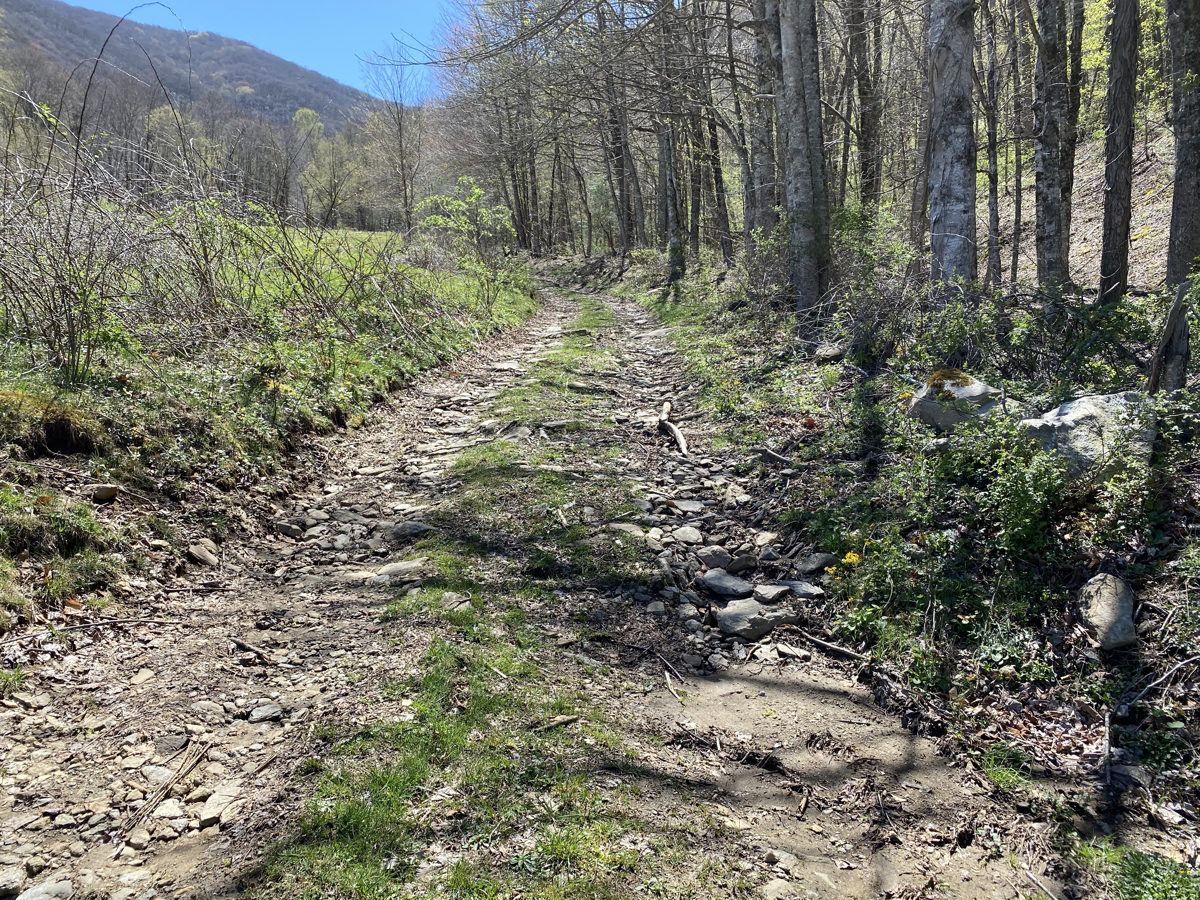
So this peak is listed on Peakbagger at "Boteler Peak", but every map I could find calls it "Chunky Gal Mountain", which is a far superior name, and the one I will be using here. I followed Bradley R.'s excellent trip report on Peakbagger and have nothing to add on top of that report. I will say that the ATV road that parallels the trail looks like it follows it to at least 4700ft if you wanted to bike up and bushwhack the final little distance to the trail. Anyhow, I'm going to add pictures to Bradley's report, so enjoy!
Sandymush Bald, April 10th
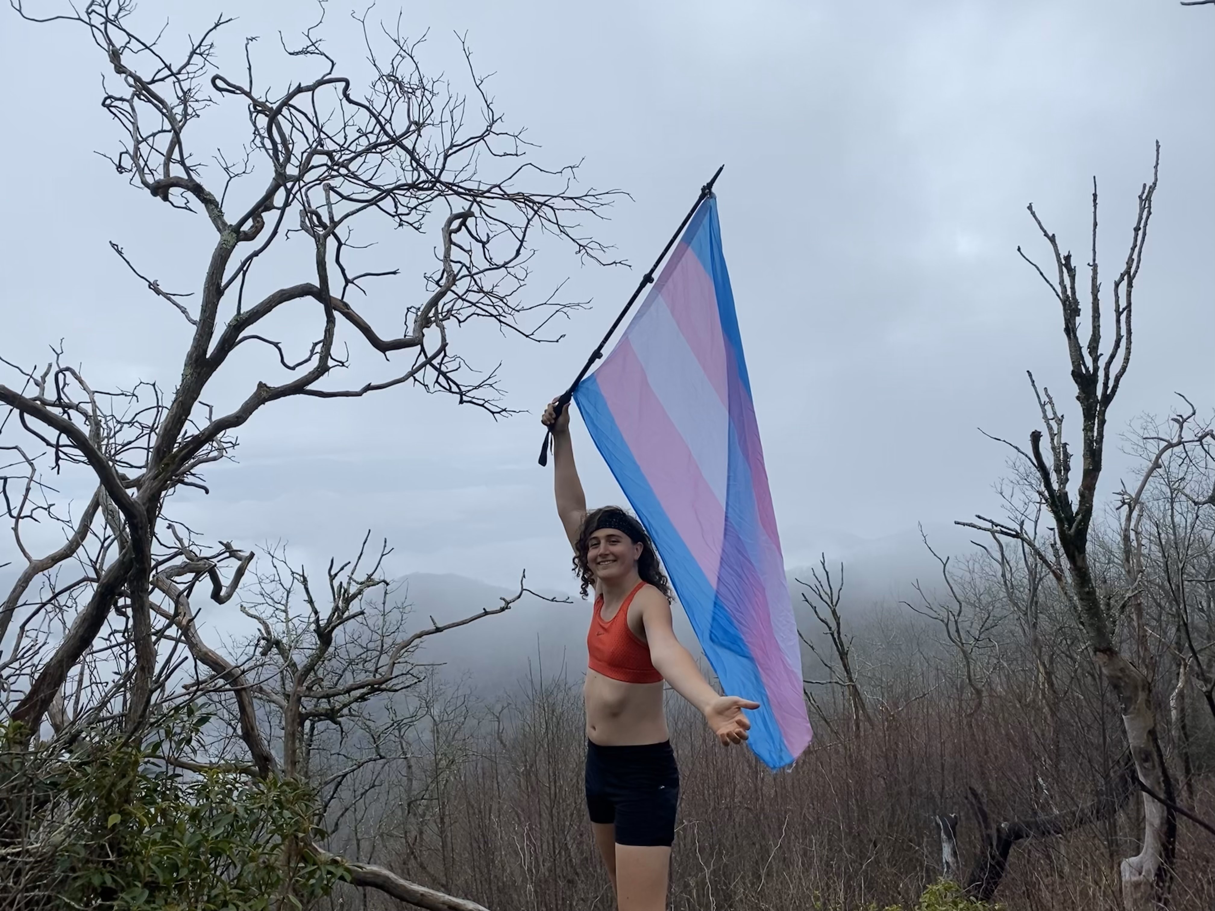
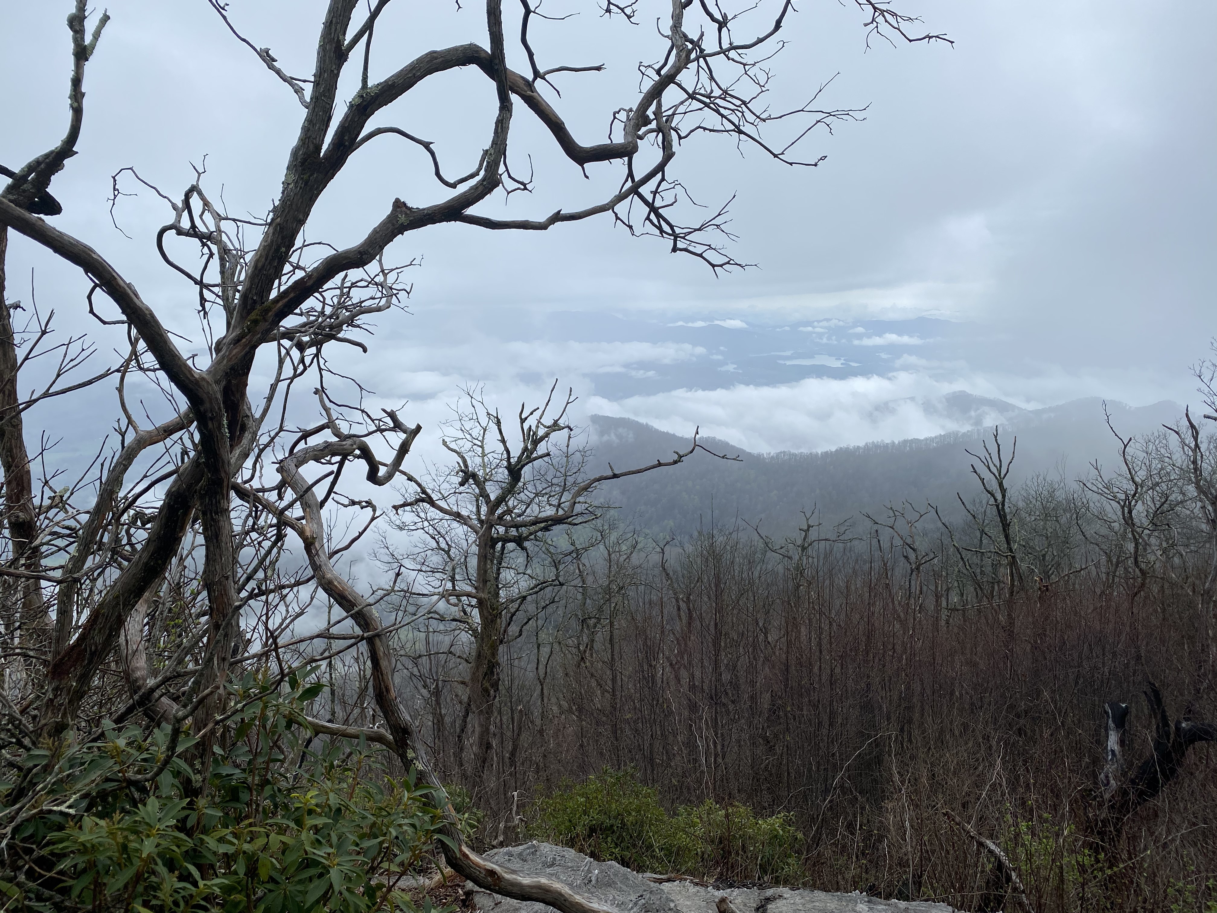
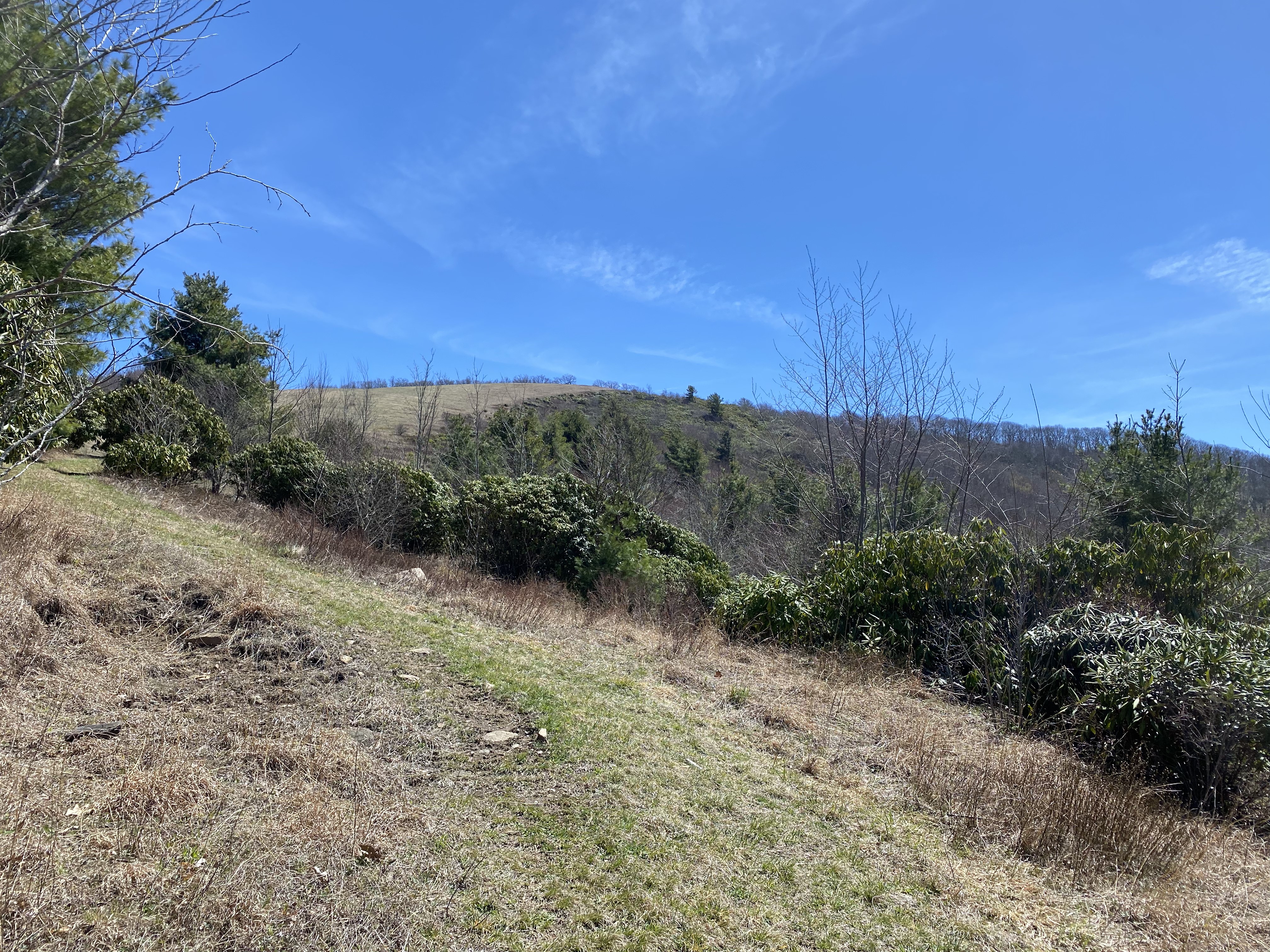
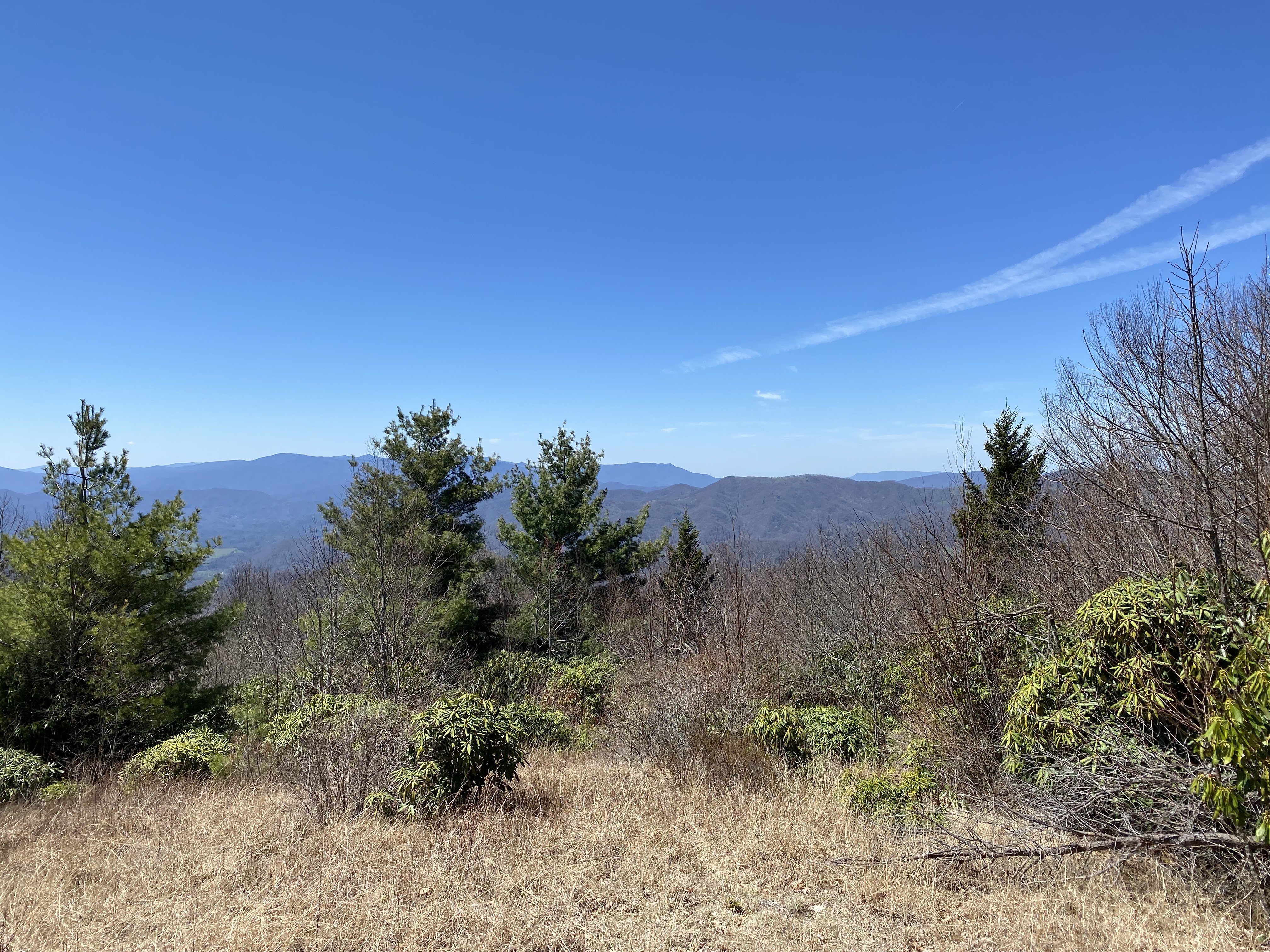
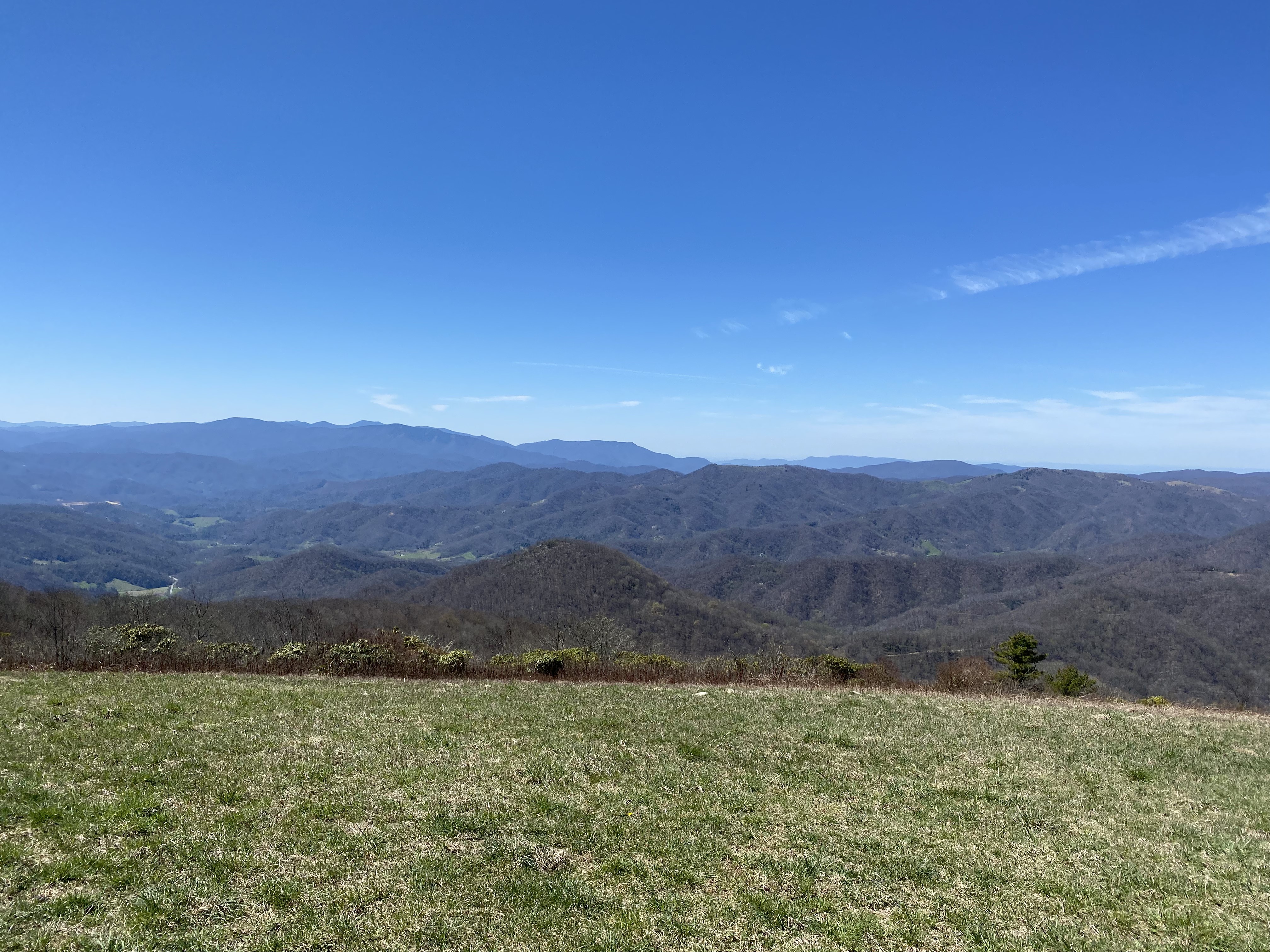
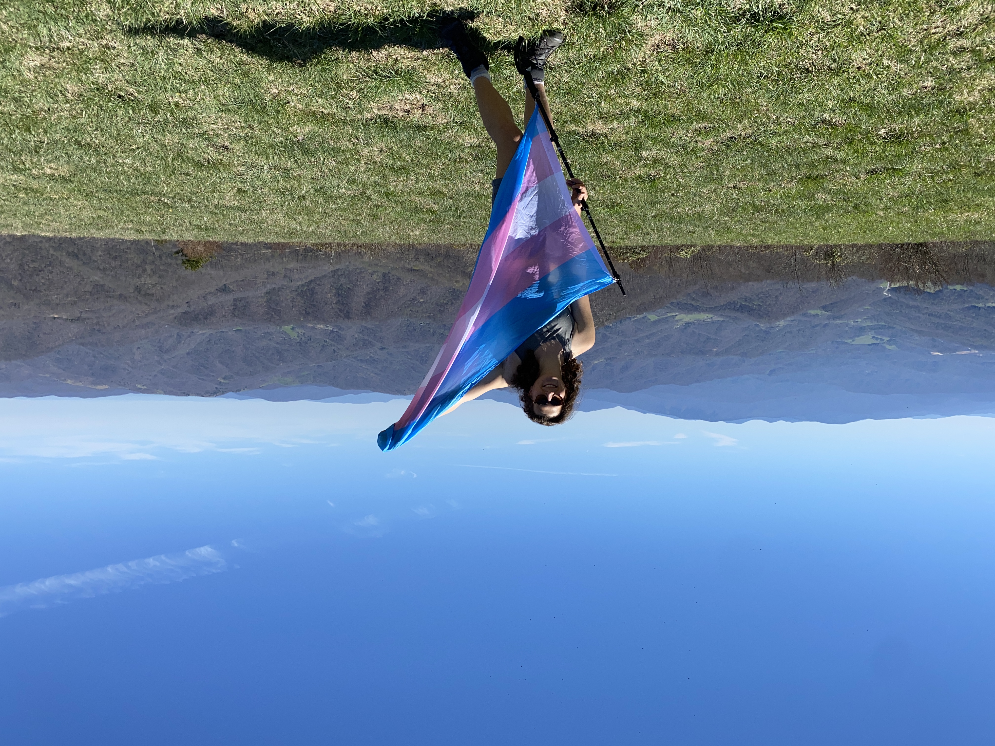
Everyone's reports on Peakbagger are accurate about this mountain needing permission from Sandymush Cabins, and one of them gave me the number to call, but for the life of me I can't remember which report that was in - and I can't find it anymore! Oh well, its 917-719-5835. The lady immediately granted permission to hike without even asking questions, and was quite friendly. The address to go to is 19001 NC 209 Highway. NOTE: google maps took me about a mile short of this address, so be sure to push on until you see the blue-white striped mailbox with 19001 on it - it's hard to miss if you're looking. I parked off to the left in front of the gate, being sure not to block any traffic coming in and out. And even though I got permission, I still left a note on my windshield explaining what I was doing - just in case. Anyhow, after lugging my bike over the gate I started hiking with it up the mountain. Going up was pretty straightforward, with the road quality being steep but good until about 4100ft where it got switchbacks which made the whole thing easier. Around 4650ft, there's a fork in the road, going left will take you to the cabins, so go right through the more shaded section. I was wondering if I would have to bushwhack to the summit when I stumbled across the bald. And let me tell you what: I have been disappointed by the "Balds" I've come across over the last few weeks, with most of them either being straight up wooded areas or just being a mix of small trees and thick fucking thorns. I was promised meadows to walk through on some peaks, and I was beginning to wonder if I was deceived. This bald makes up for all of that. It's just meadow grass with fantastic views of the Smokies and the Roan Range, with bits of the Attakulla Range visible on the north side of the slope. As I lugged my bike up it, I could clearly see that this was a maintained area, with either grazing or mowing being the reason for the openness (I suspect mowing due to the lack of shit), but I didn't care. I got my great photos and then proceedroaed down the other side, as I was planning on doing Crabtree next
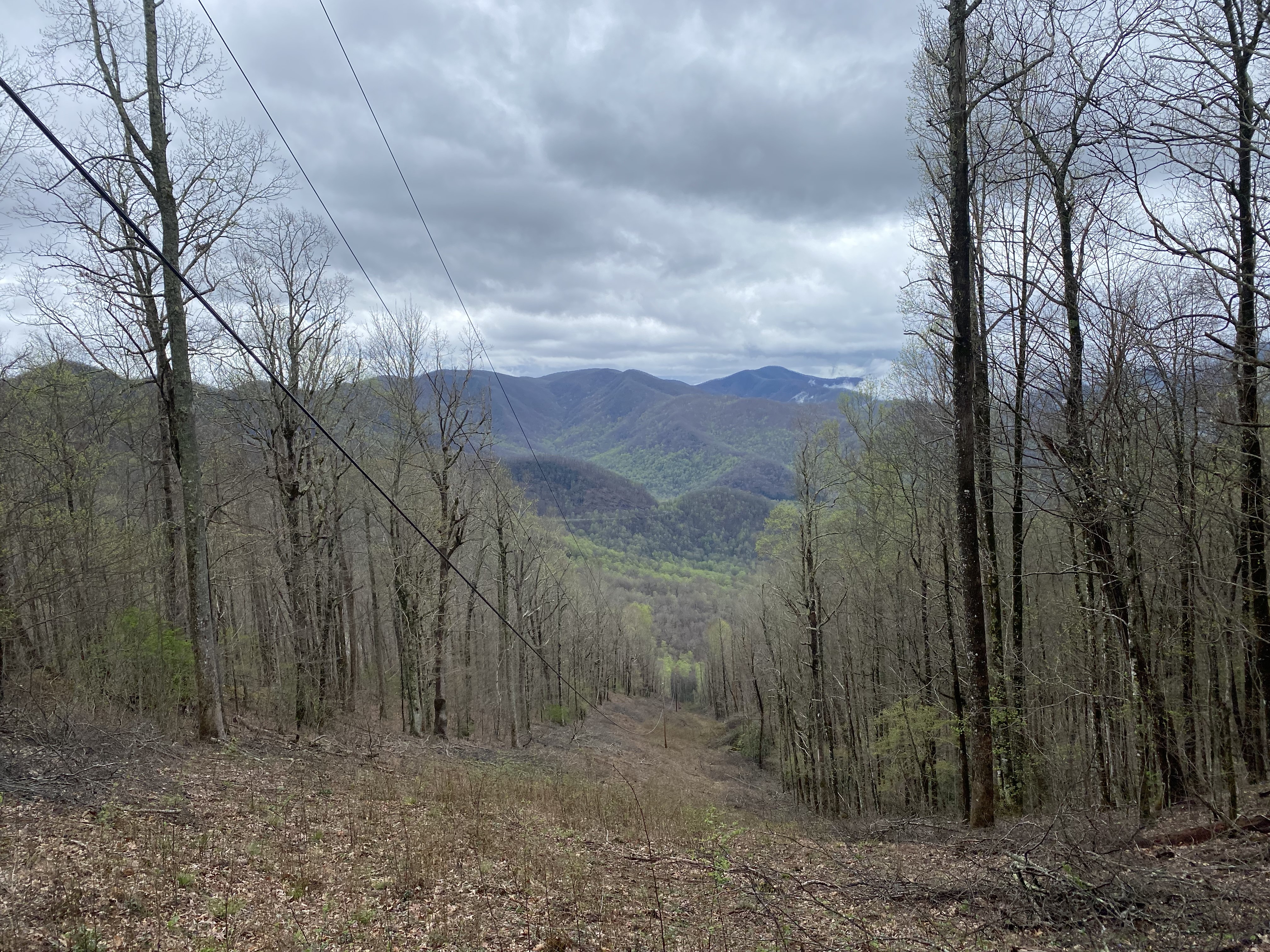
Now, people on Peakbagger had been talking about traversing the ridge for quite some time, and this was supposed to be my time to do that, but I started running into problems. Firstly I had to jump a barbed wire fence (with my bike, mind you) in order to get out of some substantial brush, as the road just kinda fades into the woods. Following that road brought me to the col of the peak between Sandymush and 4960. This was an open and green area, and it looked like there was a clear path forward. But it was at this point that three things ocurred to me. Firstly, the road headed down from this col would have spit me out on the wrong side of the valley below, and would have required another 800ft of elevation gain. Secondly, I only had about half a liter of water left for about 6 miles of ridgeline hiking. And thirdly, Crabtree is owned by some rich asshole, and even though the caretaker of the property frequently grants permission to hike, not having that permission could lead to prosecution in a way that is just much more likely than trespassing on game lands. Each of these things alone and I would have pushed on, but together they just made me turn around. So I lugged my bike back up the path I had just ridden down, climbed back over the fence, climbed back to the summit, and then set down. For people who are experienced mountain biking, the way down must be fairly nice, but for me, it was miserable - there's a lot of loose rocks and mud which mean you have to go really slow and put a lot of your weight on your wrists as you constantly break. It was safe but I wouldn't do it again. Just hike this road if you don't like rougher mountain biking. Anyhow, overall good hike