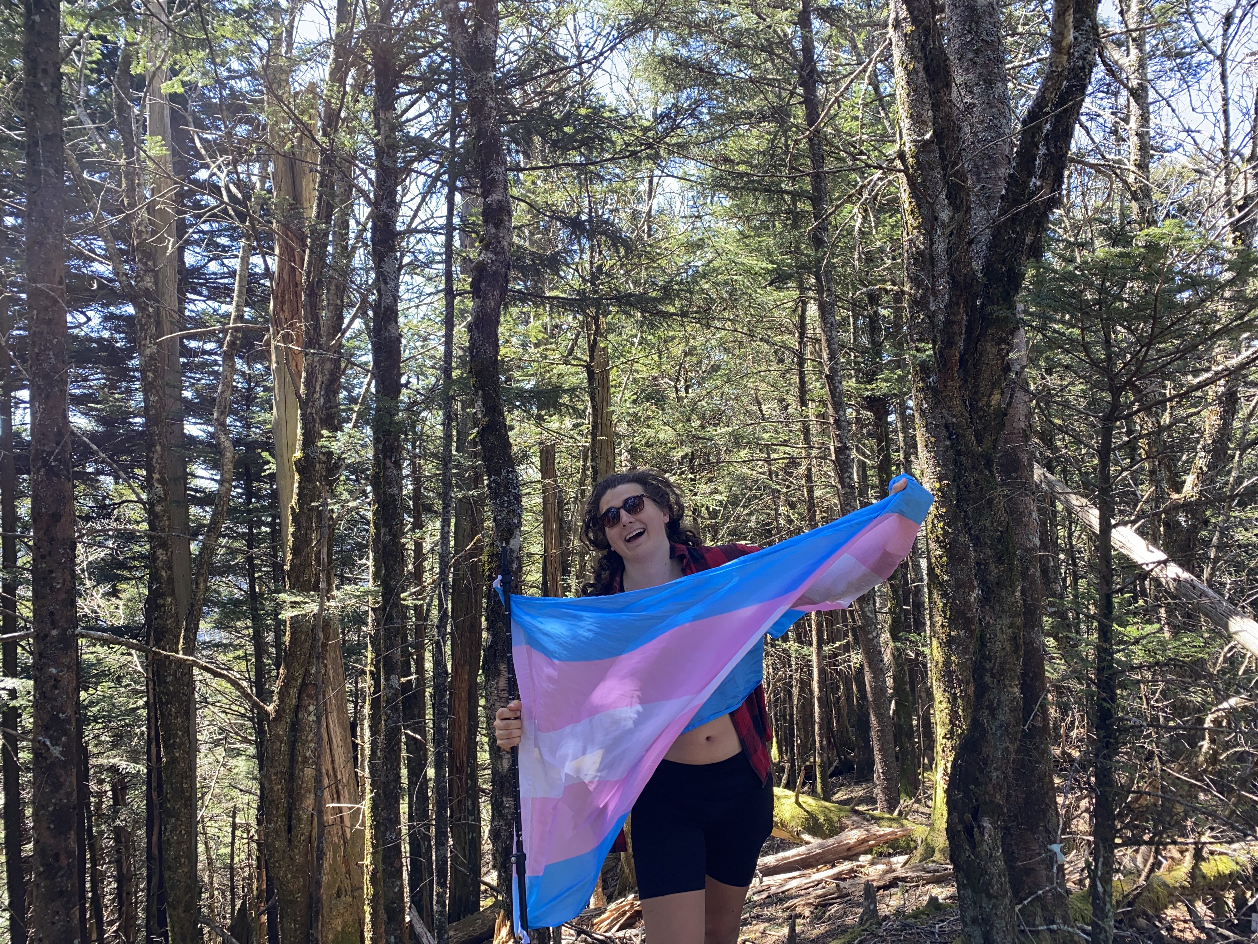
Guyot Backpacking Loop, April 11rd-13th
After learning some hard lessons from my previous Clingman's Dome backpack, I was ready to take on my second big backpack in the Smokies: a loop from Baxter Creek up Sterling, Big Cataloochee, Guyot, Pecks Corner, and Cammerer, along with the peaks in and around each of those summits. It too was supposed to be a 4 night backpack, with the caveat of this time I did a much better job packing snacks and choosing which meals would be best. That, plus I dropped almost ten pounds from my pack compared to last time, which gave me a lot of confidence in my ability to do this. It ended up being two nights, however, due to factors that you'll read about. But even though my planning/preperation still wasn't good enough to execute the original route, it was still a whole lot better than last time, and I think that I have finally learned my lesson - either make it a one-nighter or suck it up and pay for a bunch of dehydrated meals, plus pacing myself better. Anyhow, enjoy!
Baxter Creek Trailhead to Laurel Shelter
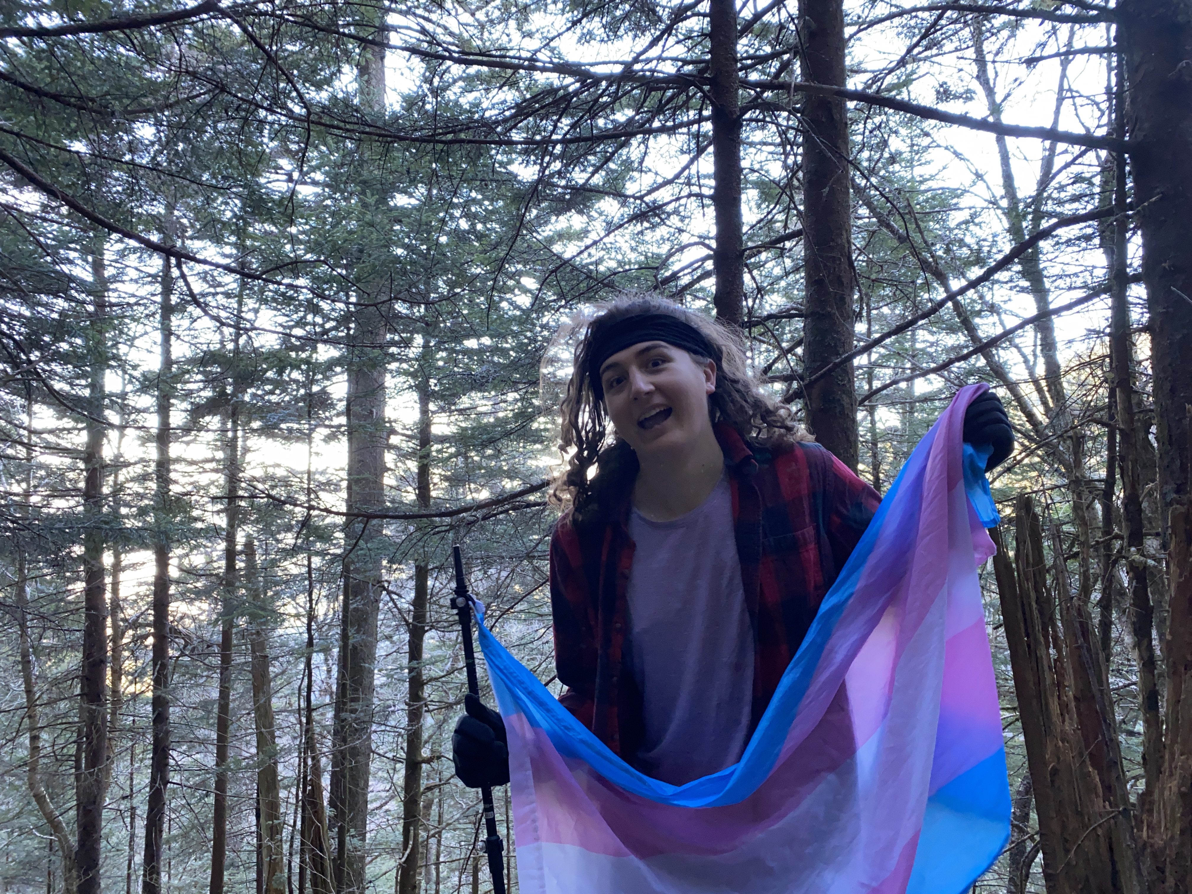
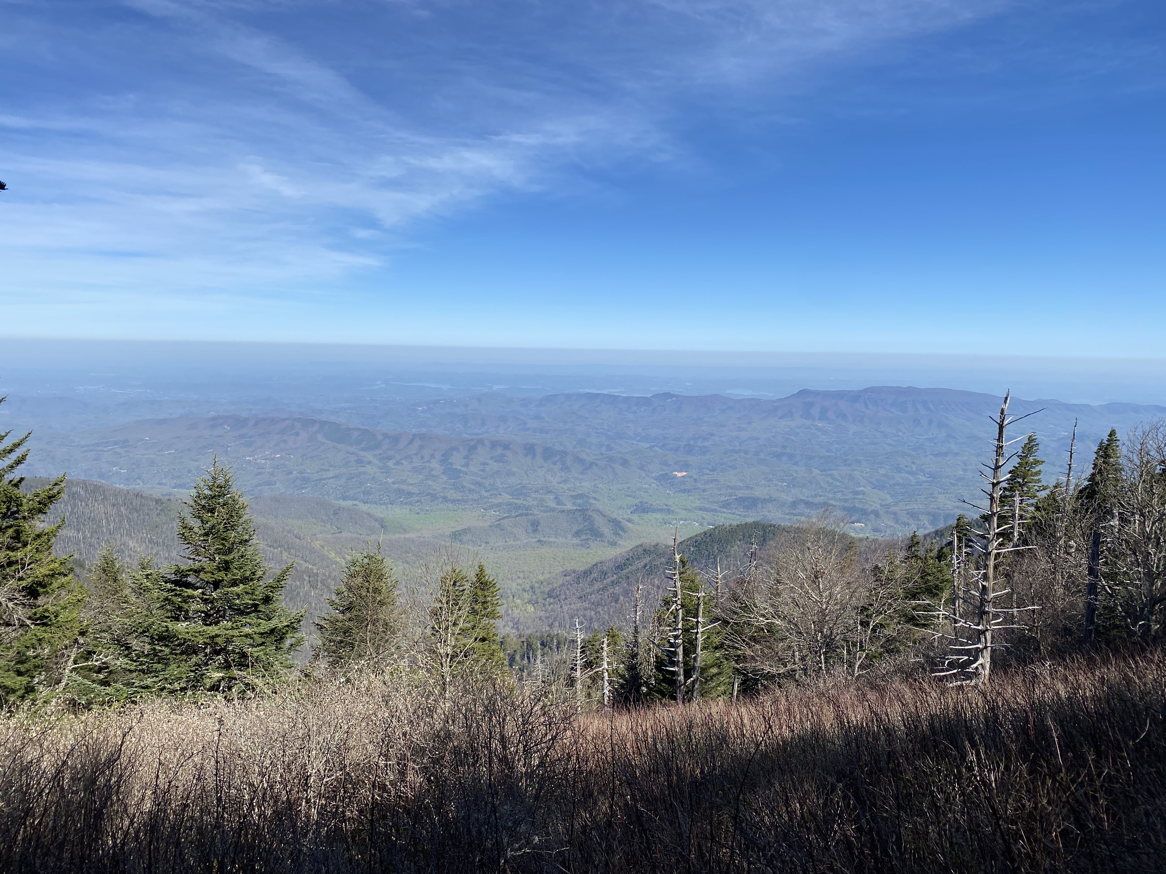
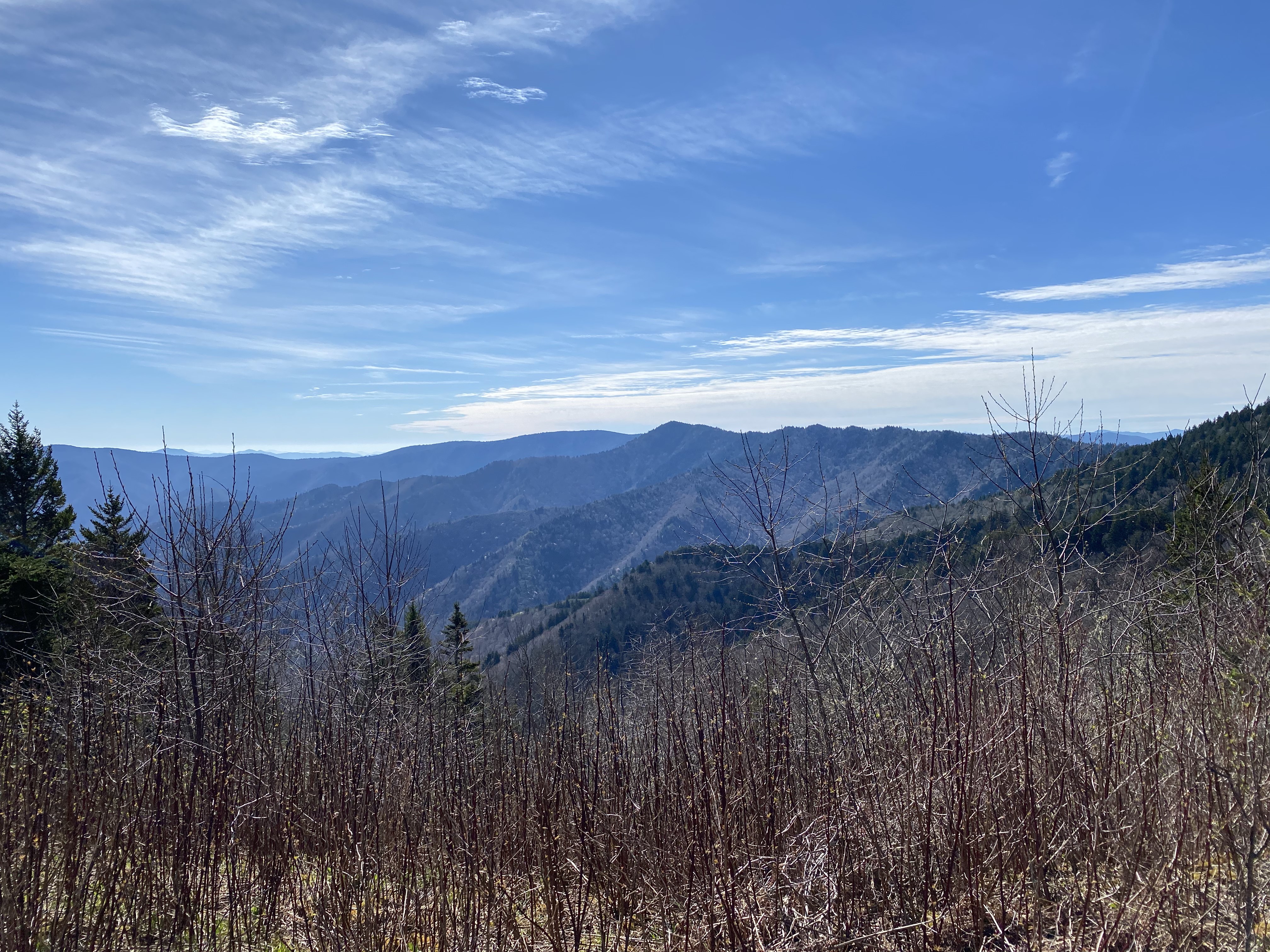
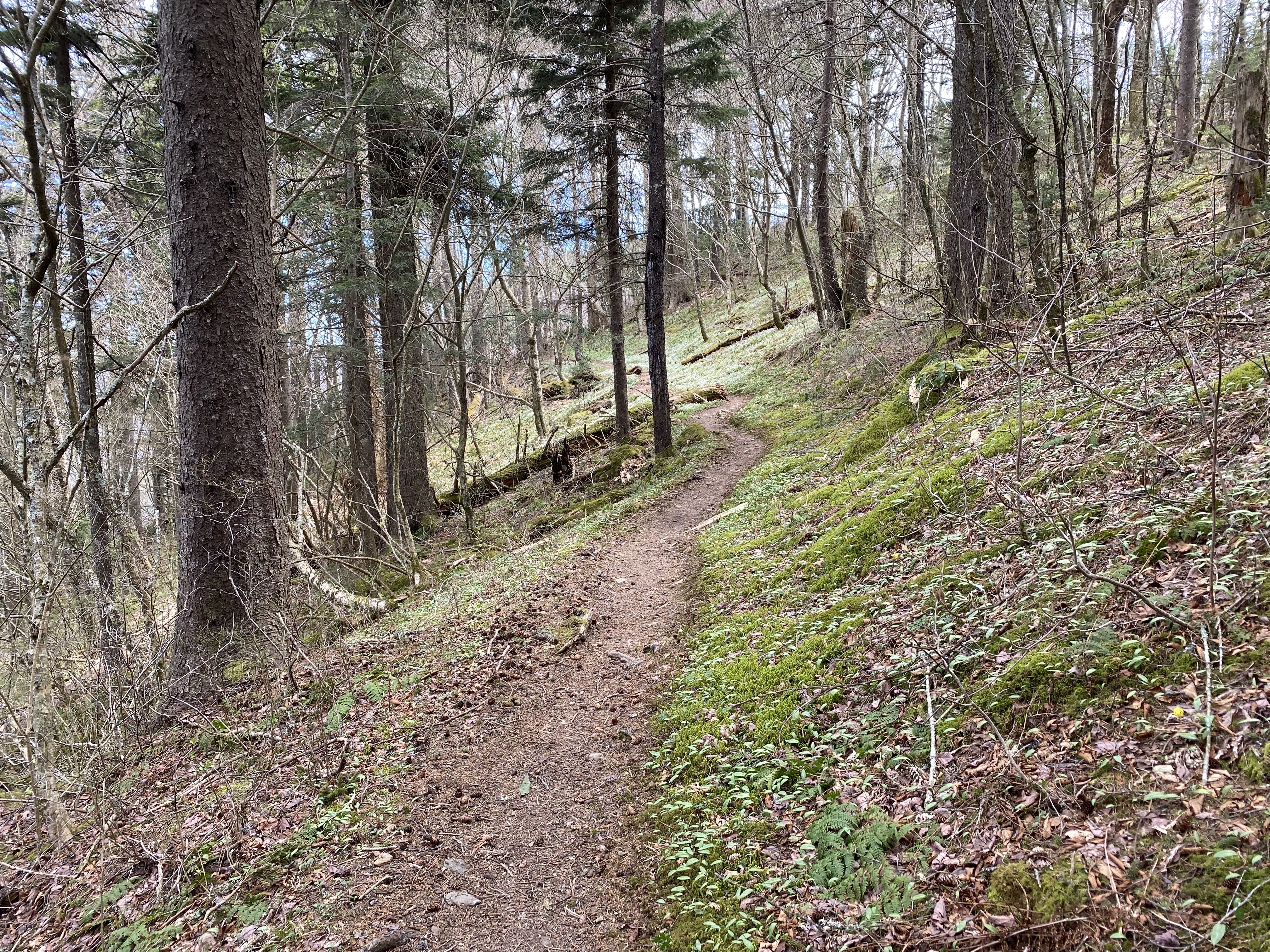
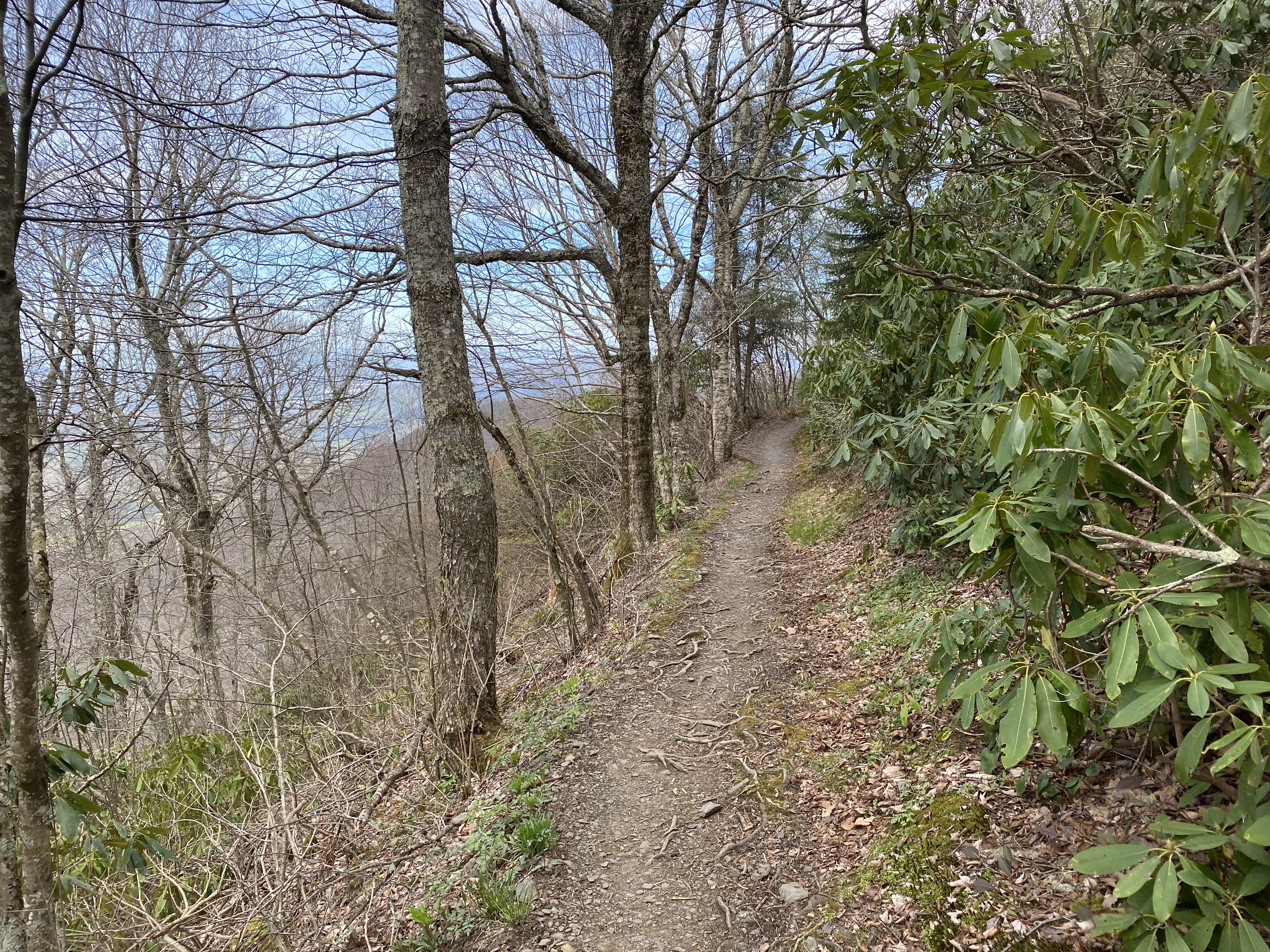
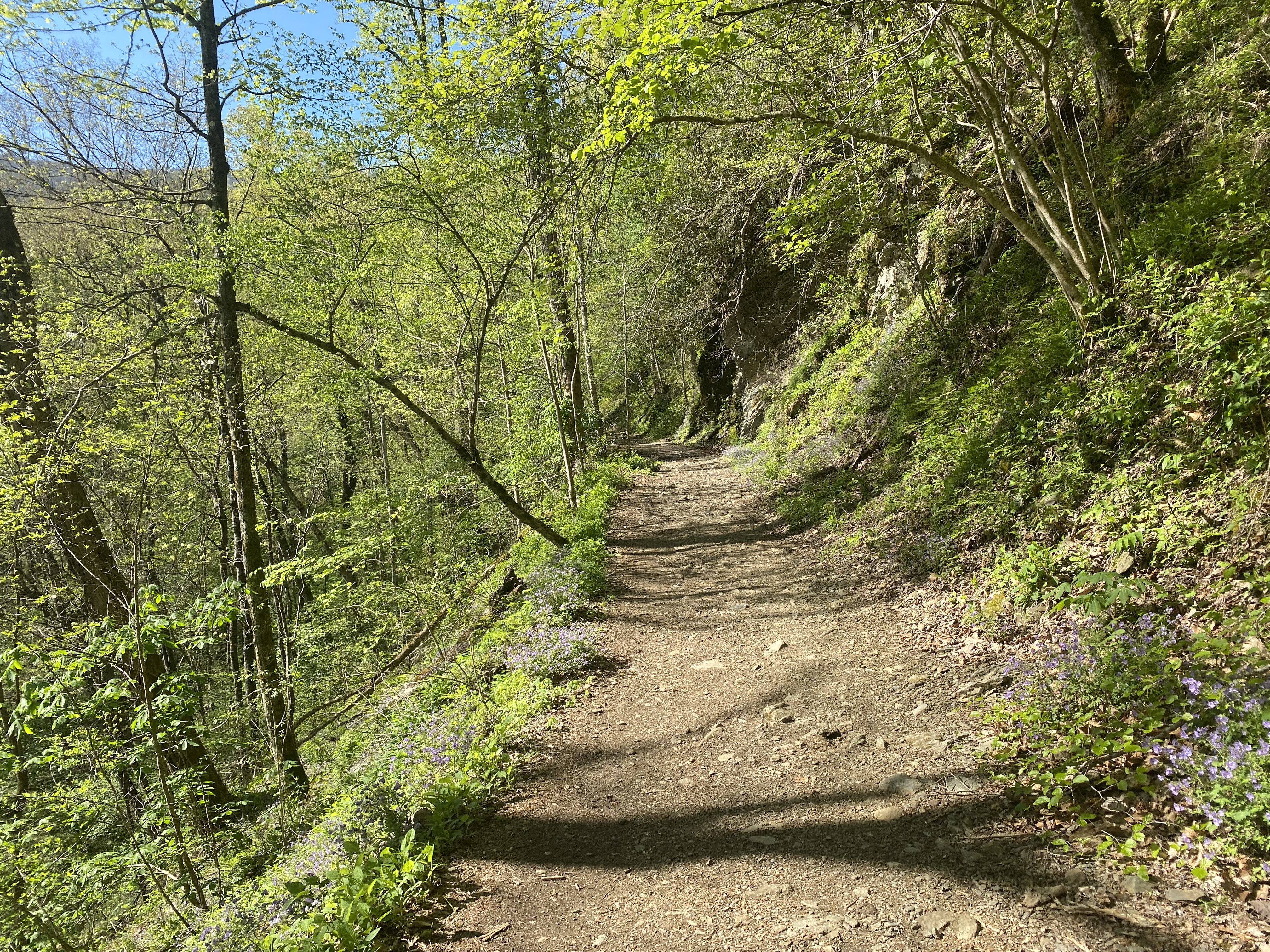
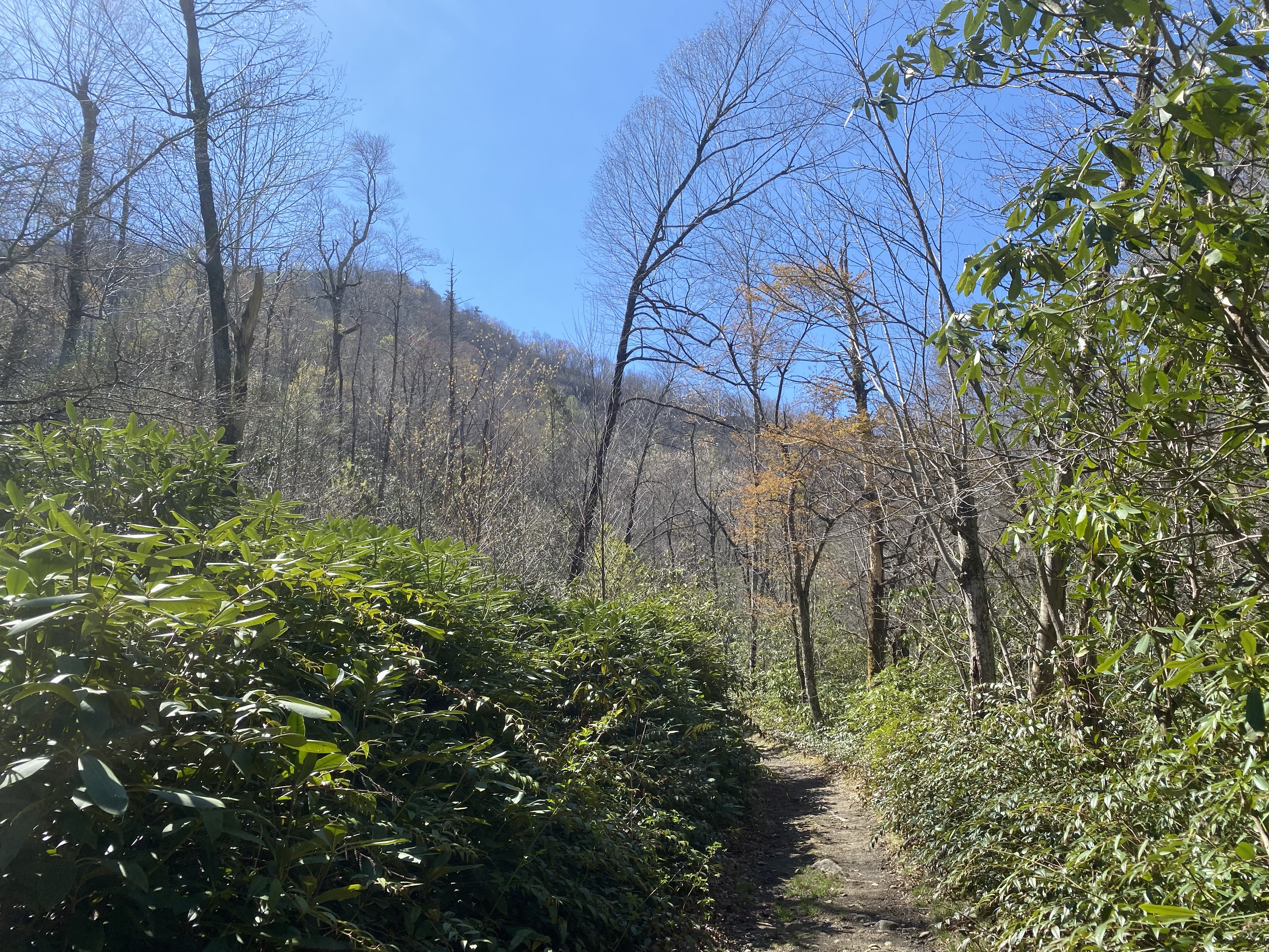
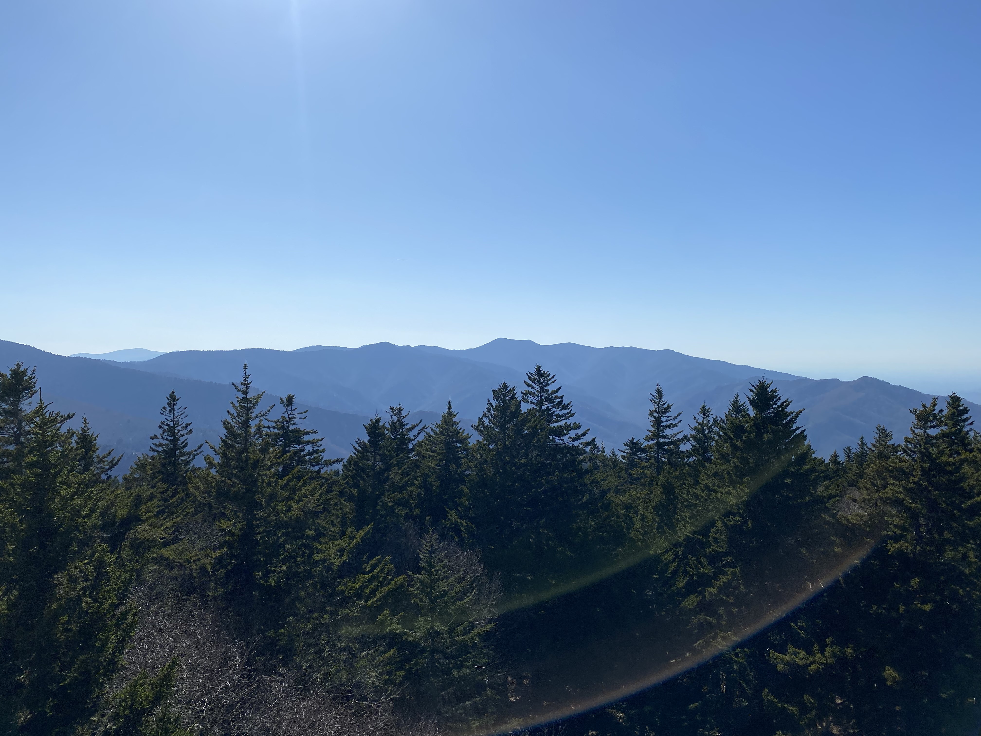
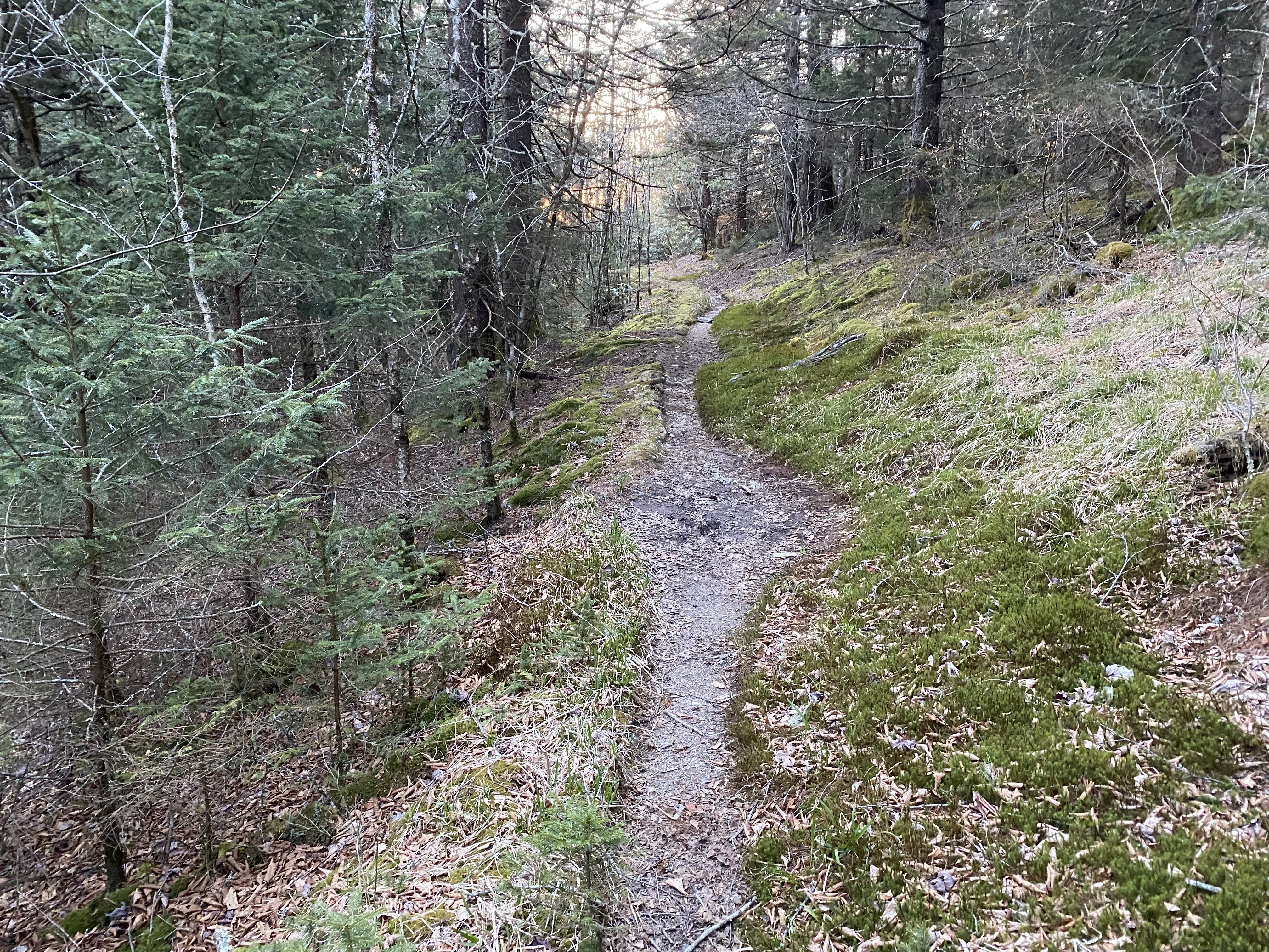
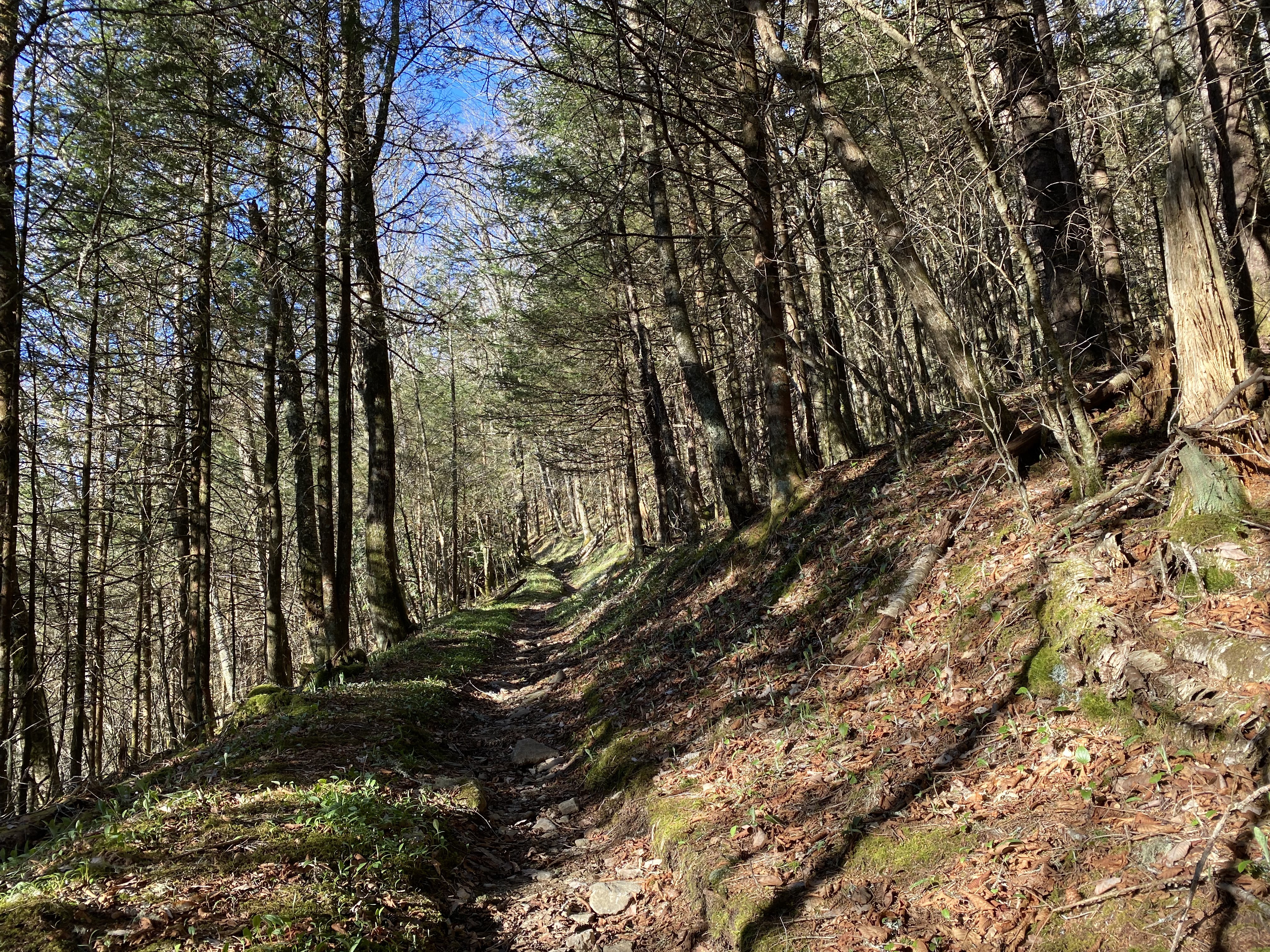
I started off my parking my van at the Cammerer parking area, since that's the only place it seemed right to leave my van for a couple nights without causing any issue. That area has a bright streetlight over the trailhead, so if you're worried about having your car get broken into, this might be a good place to put it. Anyhow, I hiked along the road to Big Creek Trail and was having a great fucking time - the trail is very well maintained and has a gradual incline which took me from 1800ft to 3000ft without me really registering any elevation gain. After breaking at the junction with Swallow Fork Trail, I started up that one, which was overall a decent trail, but which has some overgrowth for the first quarter-mile or so. Finally I got up to Sterling Ridge, and it was here that I realized I had to make a decision about which peak to push for, since I had limited time and energy. I eventually decided to go for Sterling over Indian Knob because I was still scarred from trying to bushwhack on my previous backpack with my 50lbs pack, even though I would have been totally fine to head over. The woods from the ridge to Indian knob look pretty sparce, so the bushwhack shouldn't be too much of a problem for anyone who knows what they're doing. The Benton MacKaye Trail to Sterling was pretty nice, and the views from the fire tower were good, but the top of the tower is rusted and structurally iffy - I didn't linger long there. Going over to Laurel gap was a nice traverse, with me getting there right at sundown. I was able to befriend a few thru-hikers on the Benton MacKaye and had a delightful campfire with them as they described extensively their subsistence potato and spinach growing projects - to the point of one of them having plans to build a second basement just to store his potatoes. Those are the kind of people I love to meet out here
Laurel Shelter to Tricorner Shelter
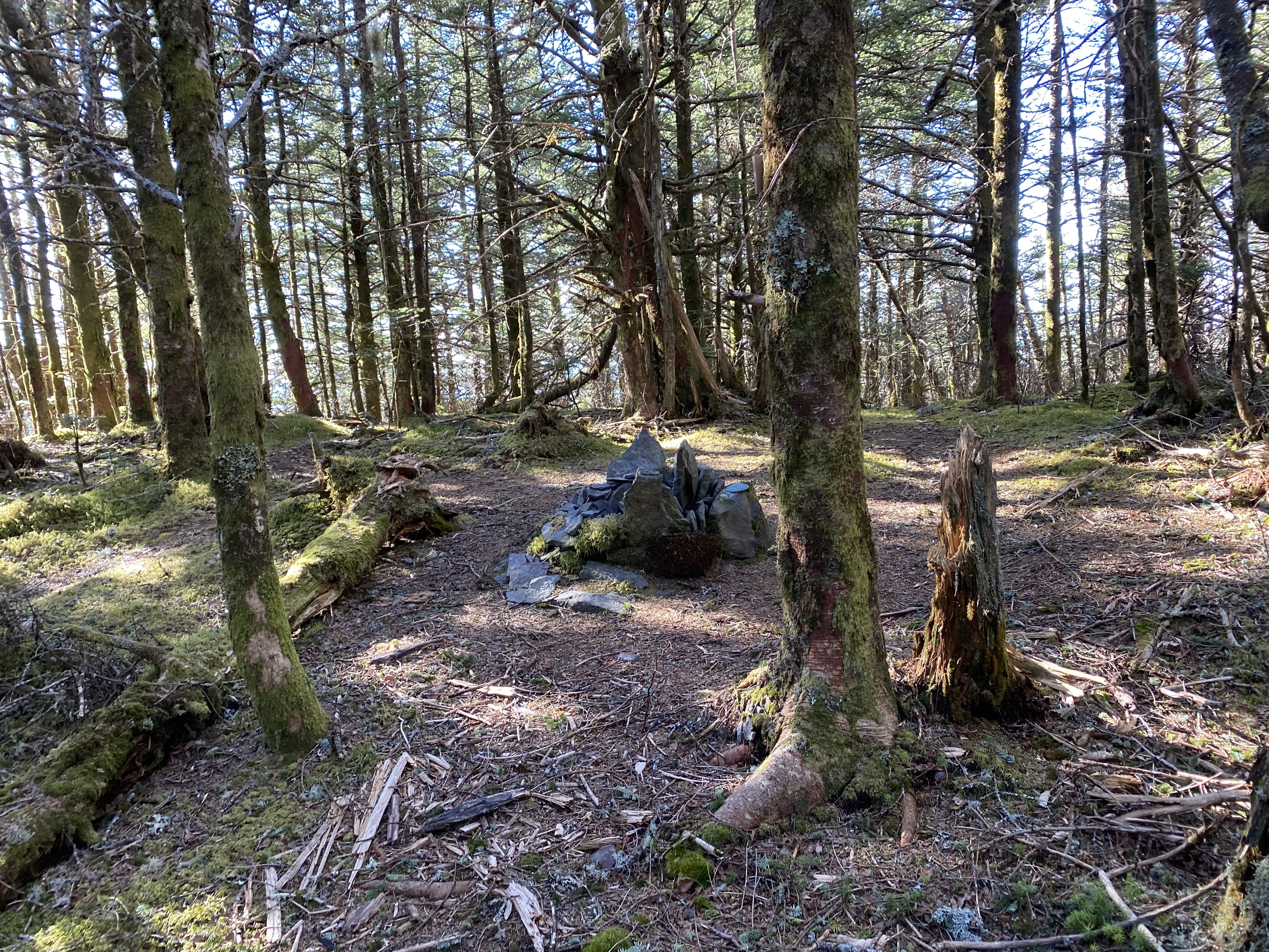
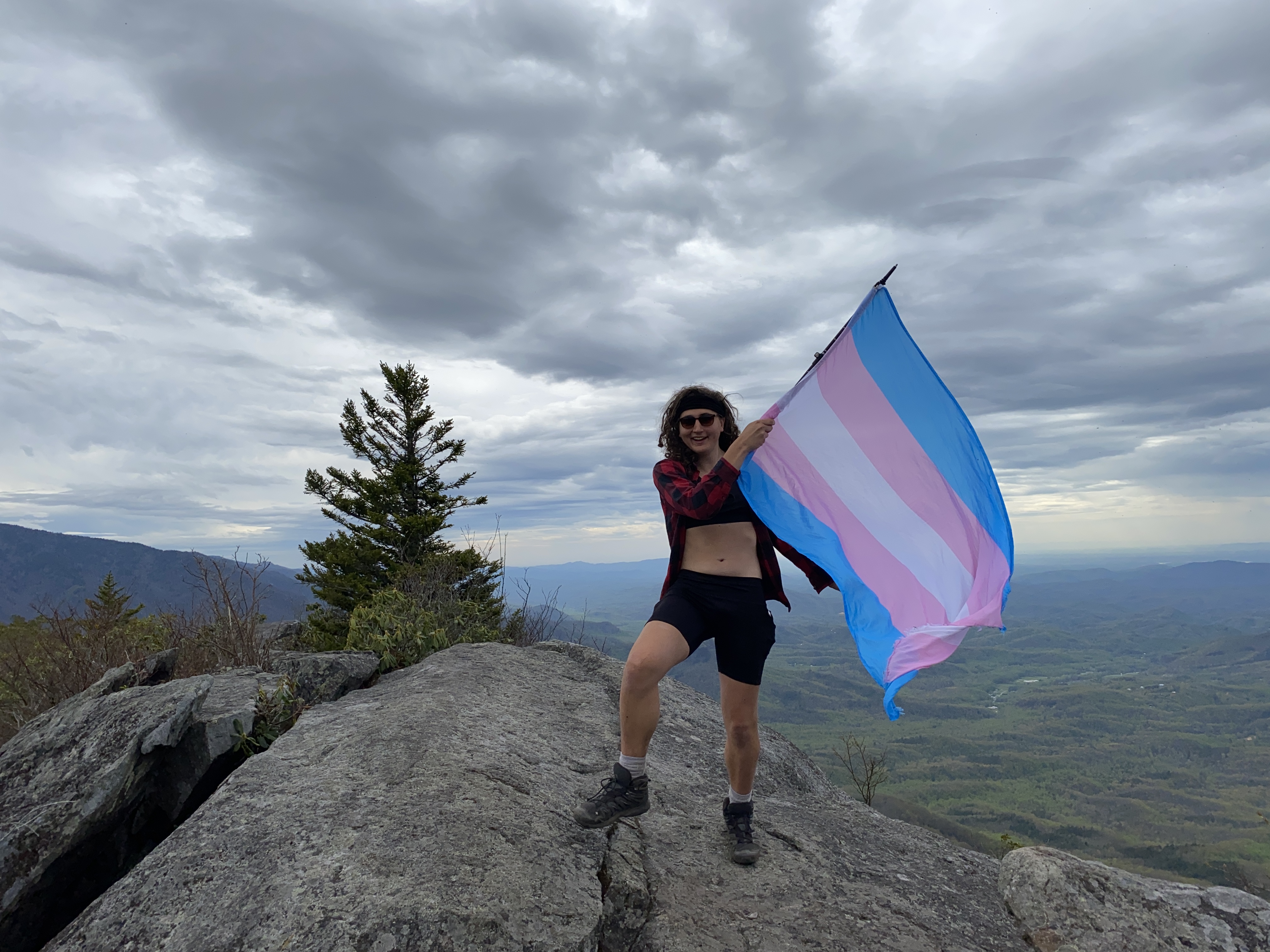
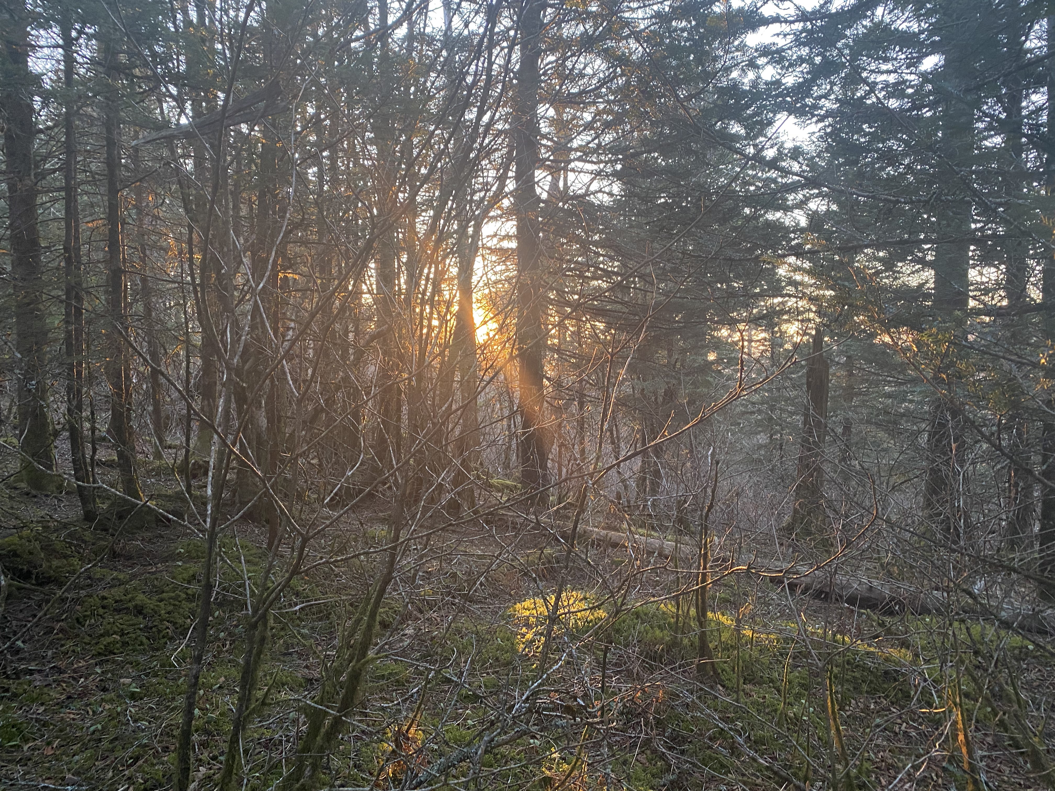
When I woke up I knew that I had pushed myself too hard, having done around 4800ft of elevation gain over 17 miles the day before, which is not the best way to start a multi-day backpack. Anyhow, I went up to Balsam corner and back down before breakfast, with the bushwhack being fairly straightforward. After eating, I went up Big Cataloochee, which felt really long even though the going was easy. Backpacking along the ridge toward the AT was fairly nice, with me almost missing Luftee due to being in the zone. A lot of deadfall on the route I took up that one. Over to Marks, where I was able to find a well-defined heard path toward Marks around Hardy between the col of Marks and Yonaguska. It was on this that I really questioned why I was even bothering to do all of these topographically-insignificant peaks when I'm pretty sure I'm a prominence-based peakbagger at heart. After some reflection on the way back through the intense deadfall, I decided to say fuck it and rework the mountains that I want to do down here. When I got to Tricorner, it was packed to the brim with thru hikers, so I slept on the ridge next to the horse-tie up area. It was then that I aldo decided to bail on my plan to go to Pecks, since I discovered that I now hate mashed potatoes and I was planning on having that two nights in a row. Better food planning since last time, bust still not perfect. Nice sunset tho
Tricorner Shelter to Baxter Trailhead
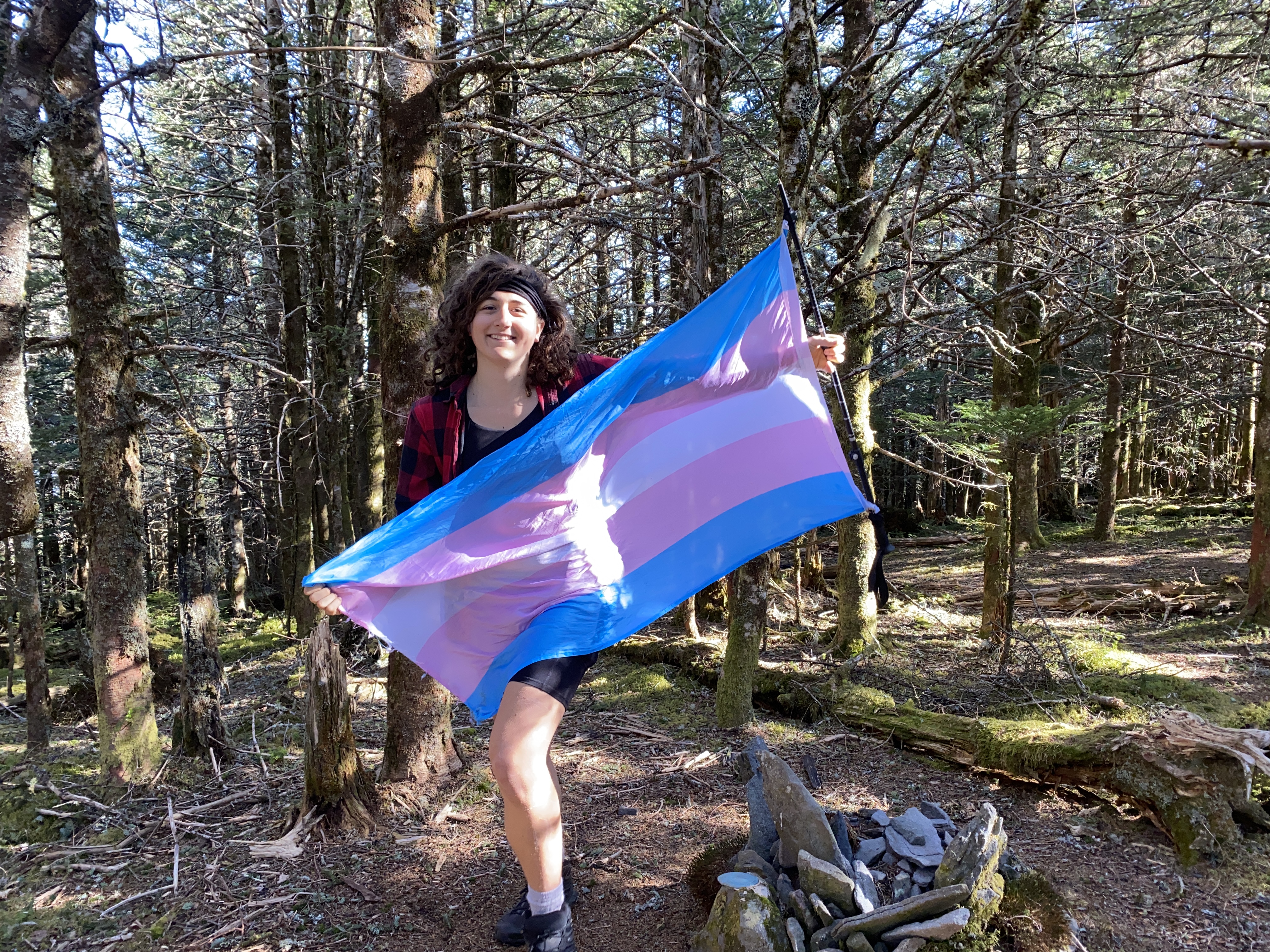
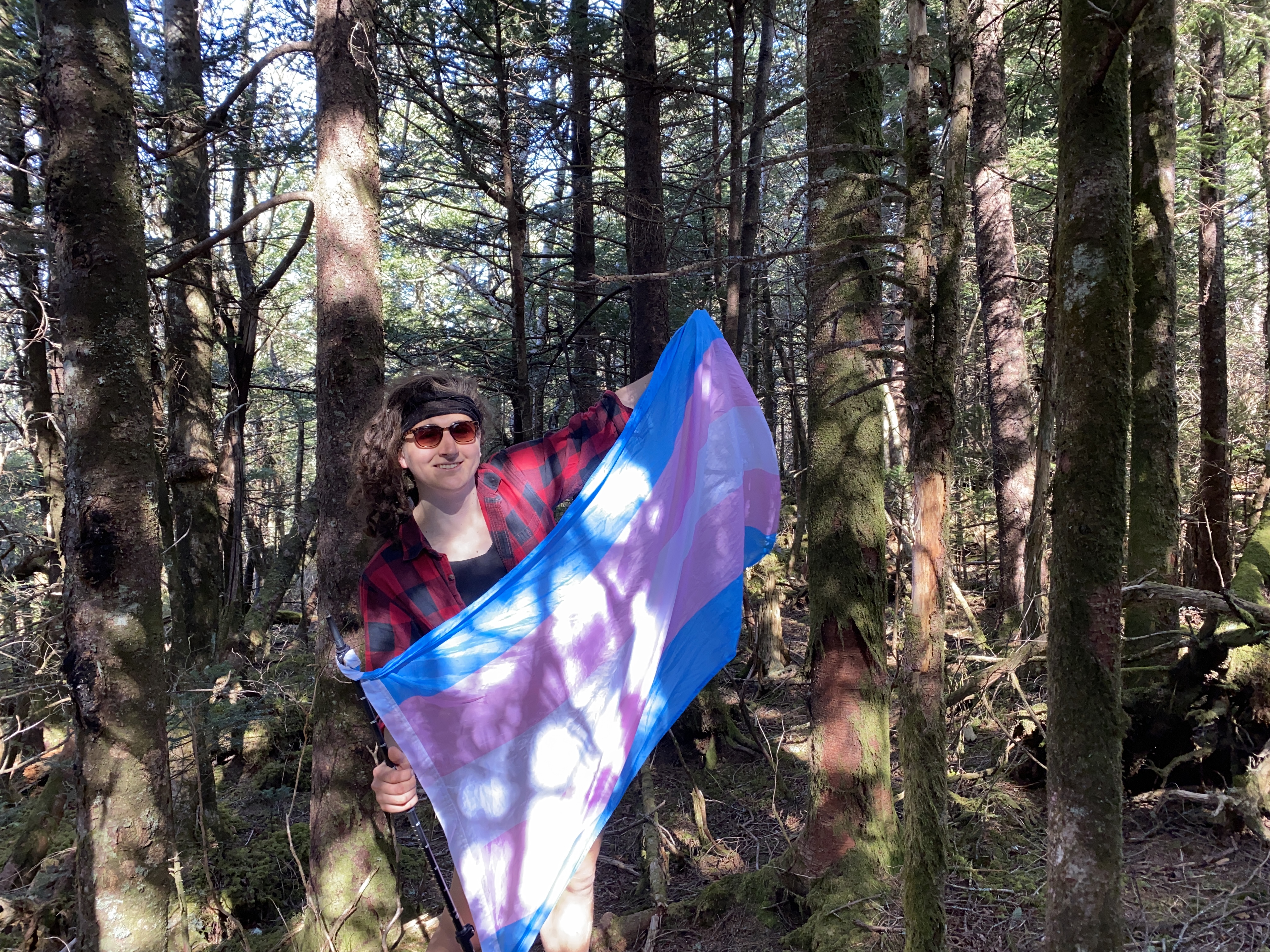
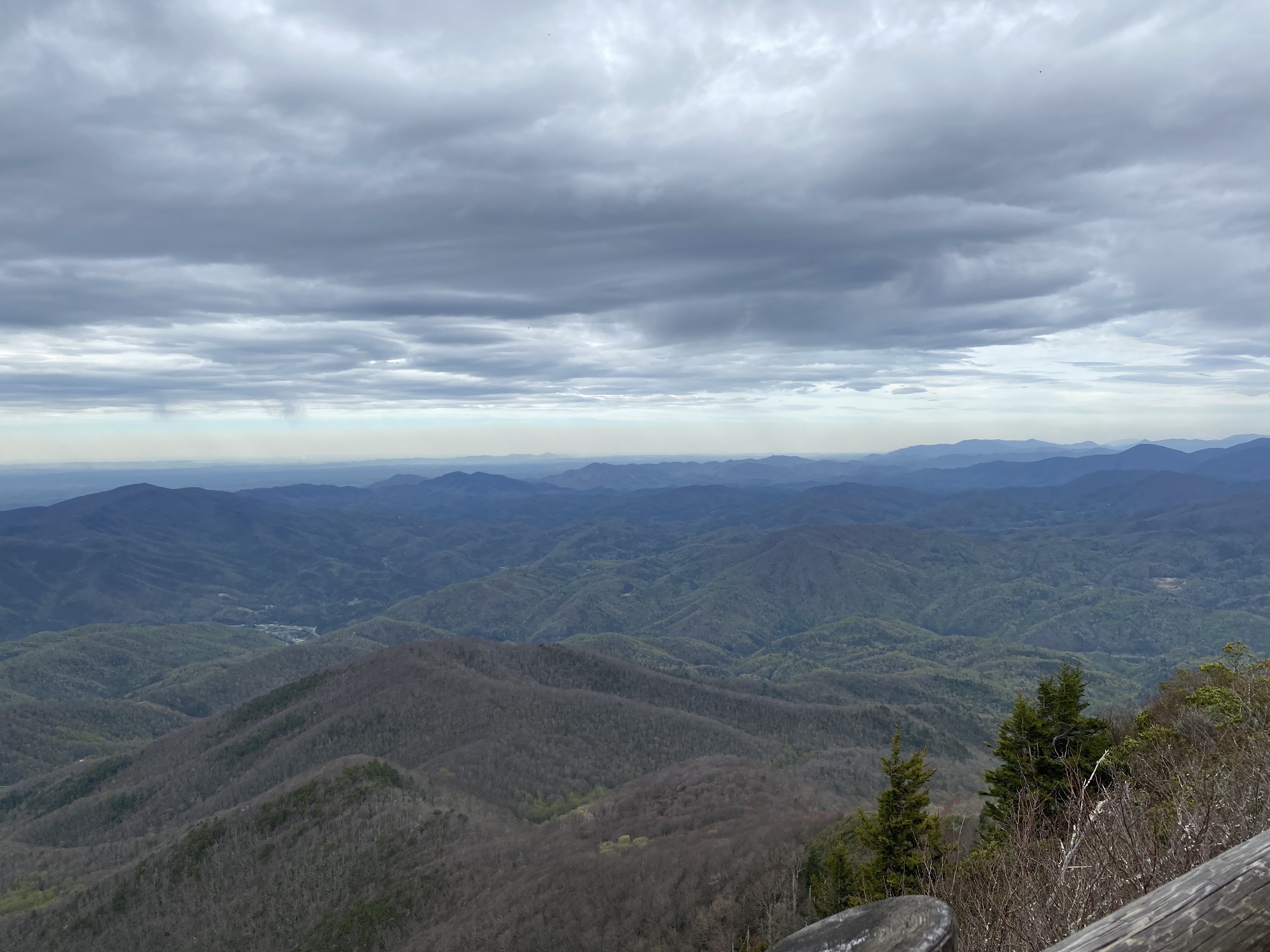
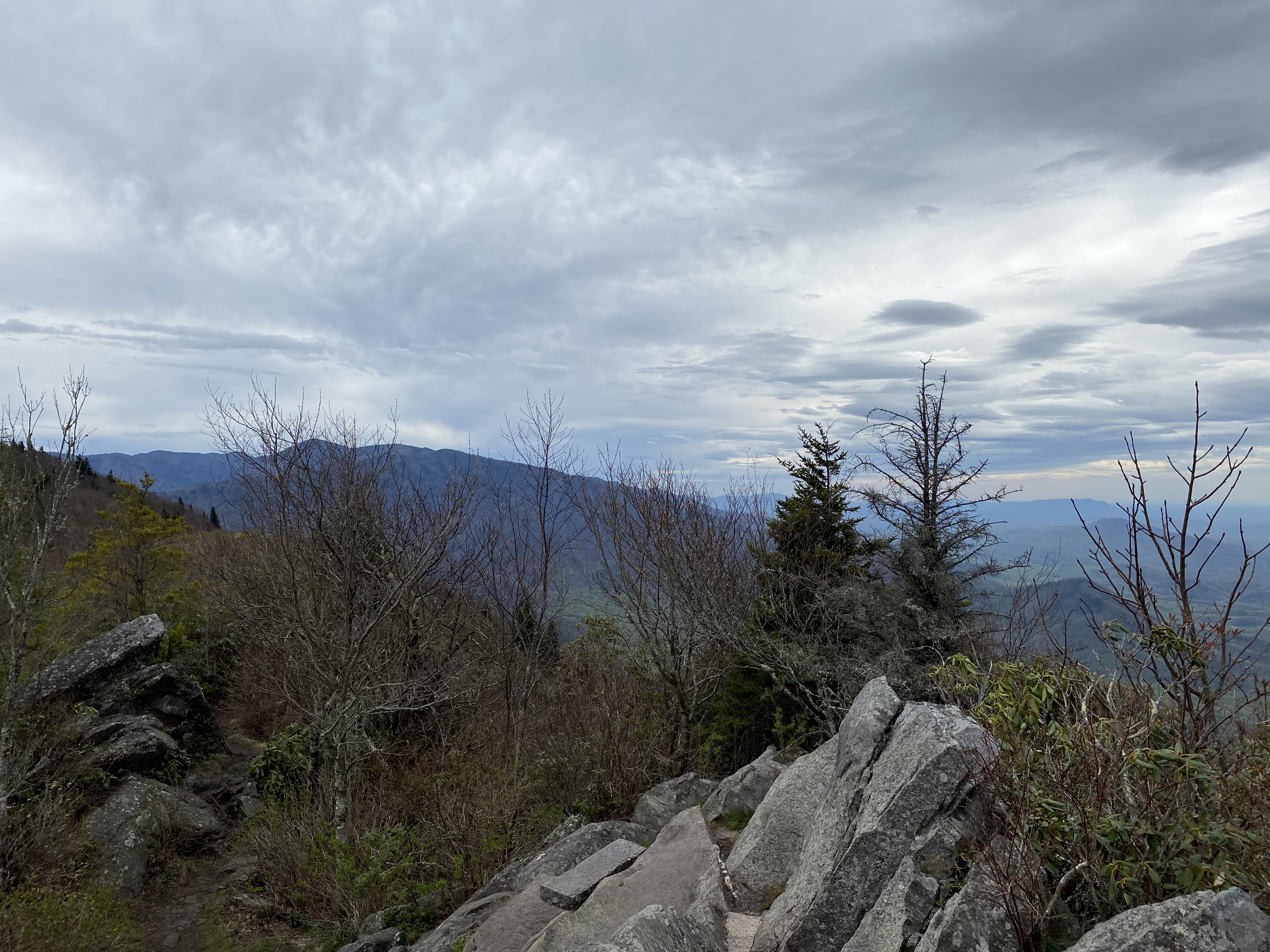
Rise and shine and up to Yonaguska, which was also deadfally in the route I took. After downing a bar, I went over to Guyot, and bushwhacked up the northern face towards the eastern side. I would recommend going farther along the AT before starting up, as I got caught on the ridge in some thick brush. Nevertheless the summit was nice, and hopping over to Old Black was also easy, with a fairly clear heard path up to the summit. Looking over at all the elevation I would have to lose going to Pinnacle Lead solidified how I wanted to rework my list, and if you wanna see the one I settled on, check out my peakbagger, but basically I swapped non-prominent peaks like Pinnacle Lead for the most prominent peaks in the southeast that aren't on the 5000fters list. Onward to Inadu with great views, and then to Cosby which had a vague path from the AT to the summit. Up Cammerer and on to the fire tower, where I semi-collapsed in the tower since I had only eaten that one bar the entire day. Bad idea. But I was able to befriend several of the thru-hikers that were stealth camping in the tower and I really enjoyed the social time. I find it funny how the BMT people talk about growing potatoes when they're off the trail while the AT folks talk about growing shrooms - the cultural differences are right there, folks. After eating a proper ramen meal, I went down the At and then the connecting trail back to the trailhead and limped back to my van. Solid day