Wine Spring, Siler, Copper Ridge, and Cheoah Balds: April 20th-21st, 2023
Wine Spring Bald and Rocky Bald, April 20th
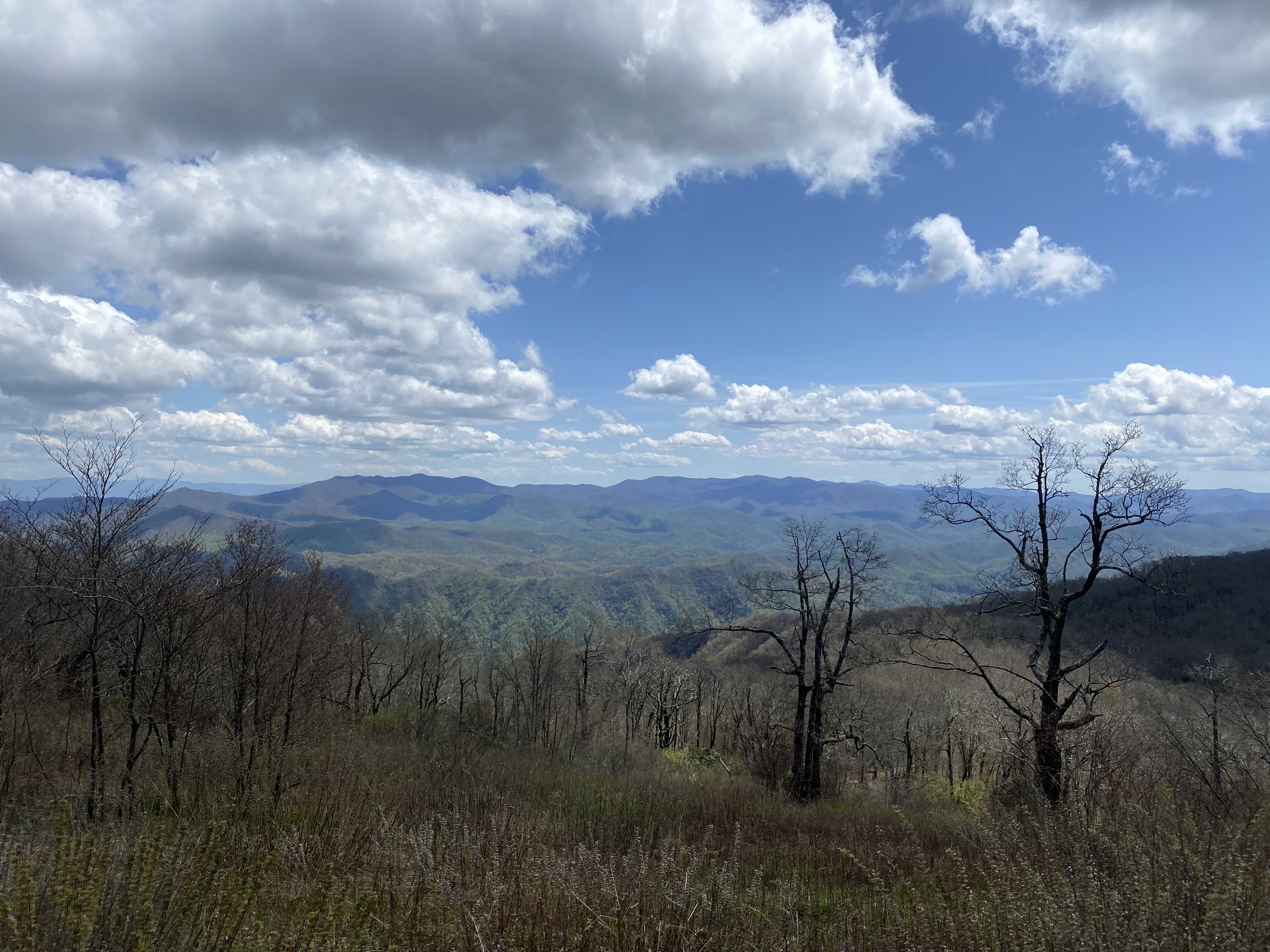
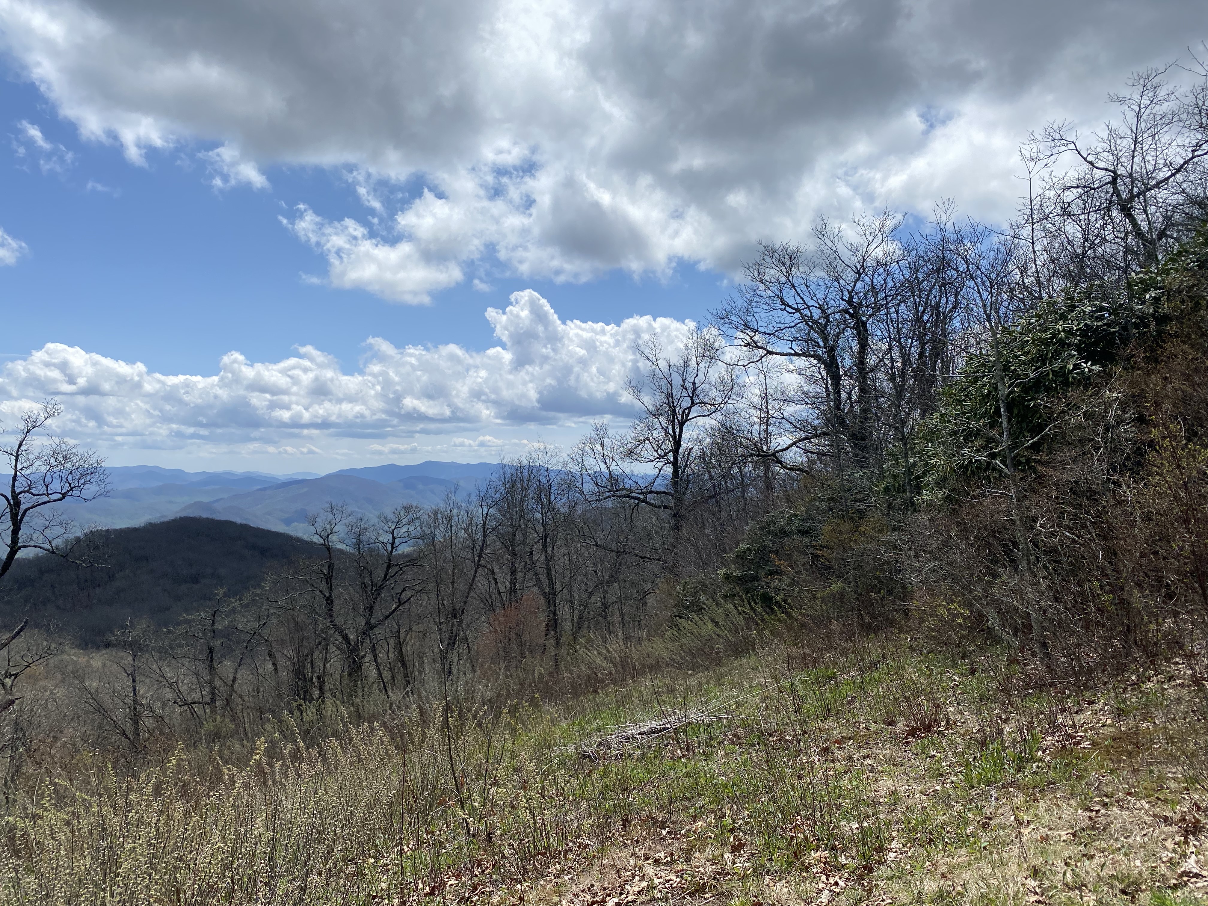
I followed the signs from Franklin up to the Wayah Bald fire tower, and parked at the col between that and wine spring. After an uneventful road walk up to the peak covered in towers and with no views, I set out along the ridge over to Rocky Bald. There was a relatively-maintained trail over to the col, and afterward there was a relatively clear heard path leading up the ridge. However, at around 5100ft I lost the path and so bushwhacked the rest of the way, with the open woods becoming more thorny near the summit. The walk back was delightful. Wouldn't recommend these peaks unless you're pursing the NC5k list, but they're not that bad either. I was going to head over to Wayah, and I probably should have, but I had a busy day planned and so had to push onward to Siler
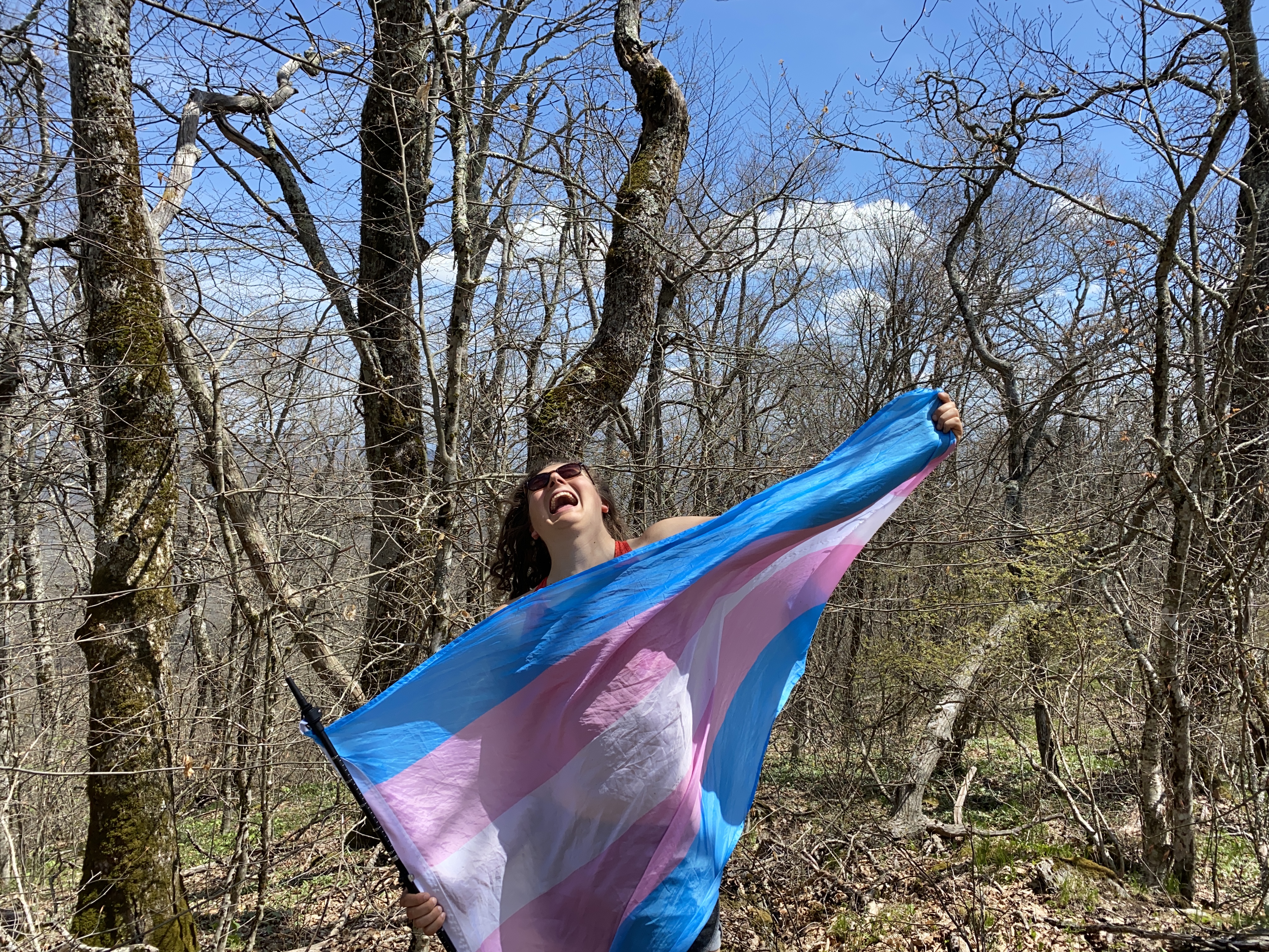
Siler Bald, April 20th
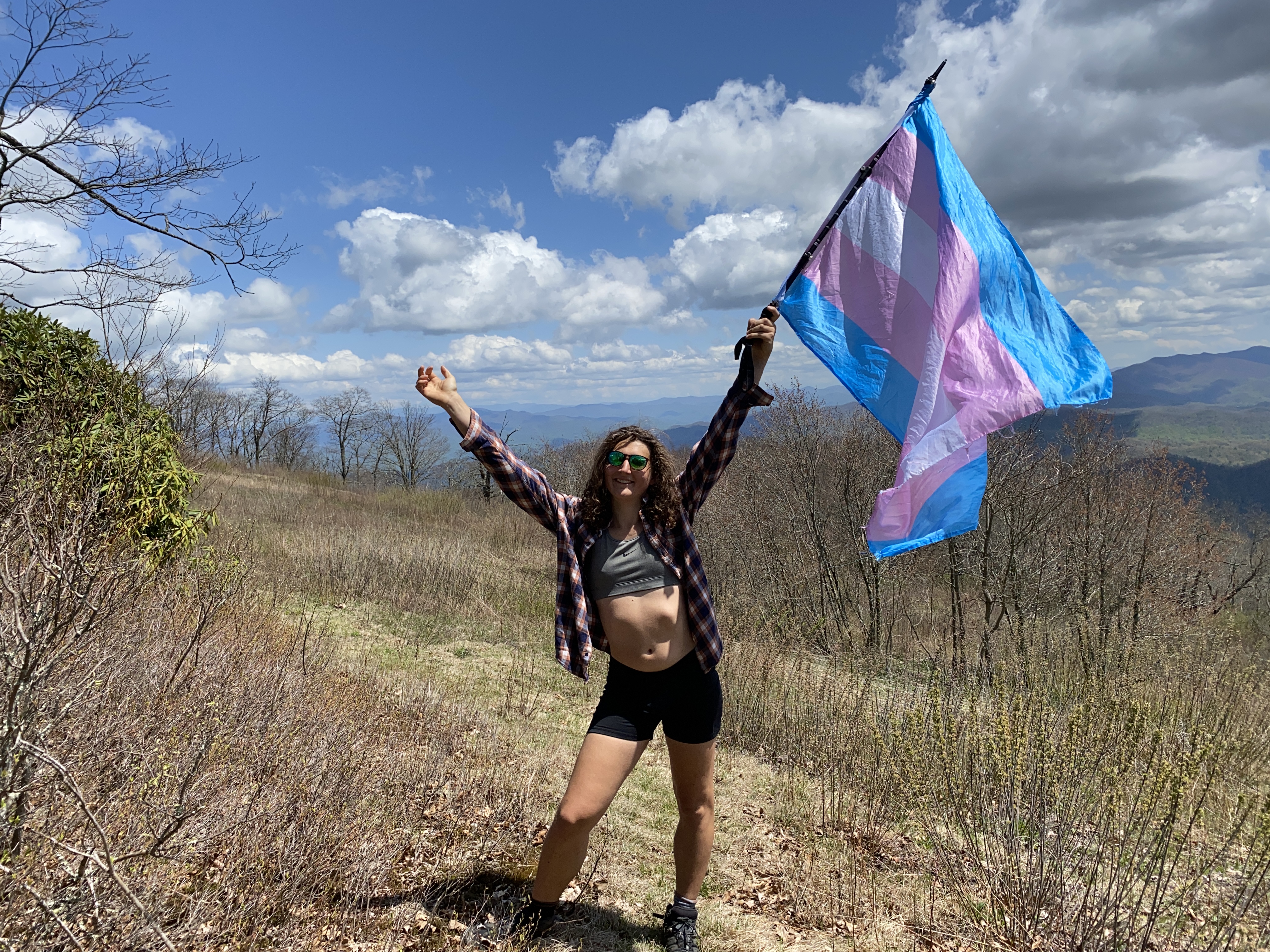
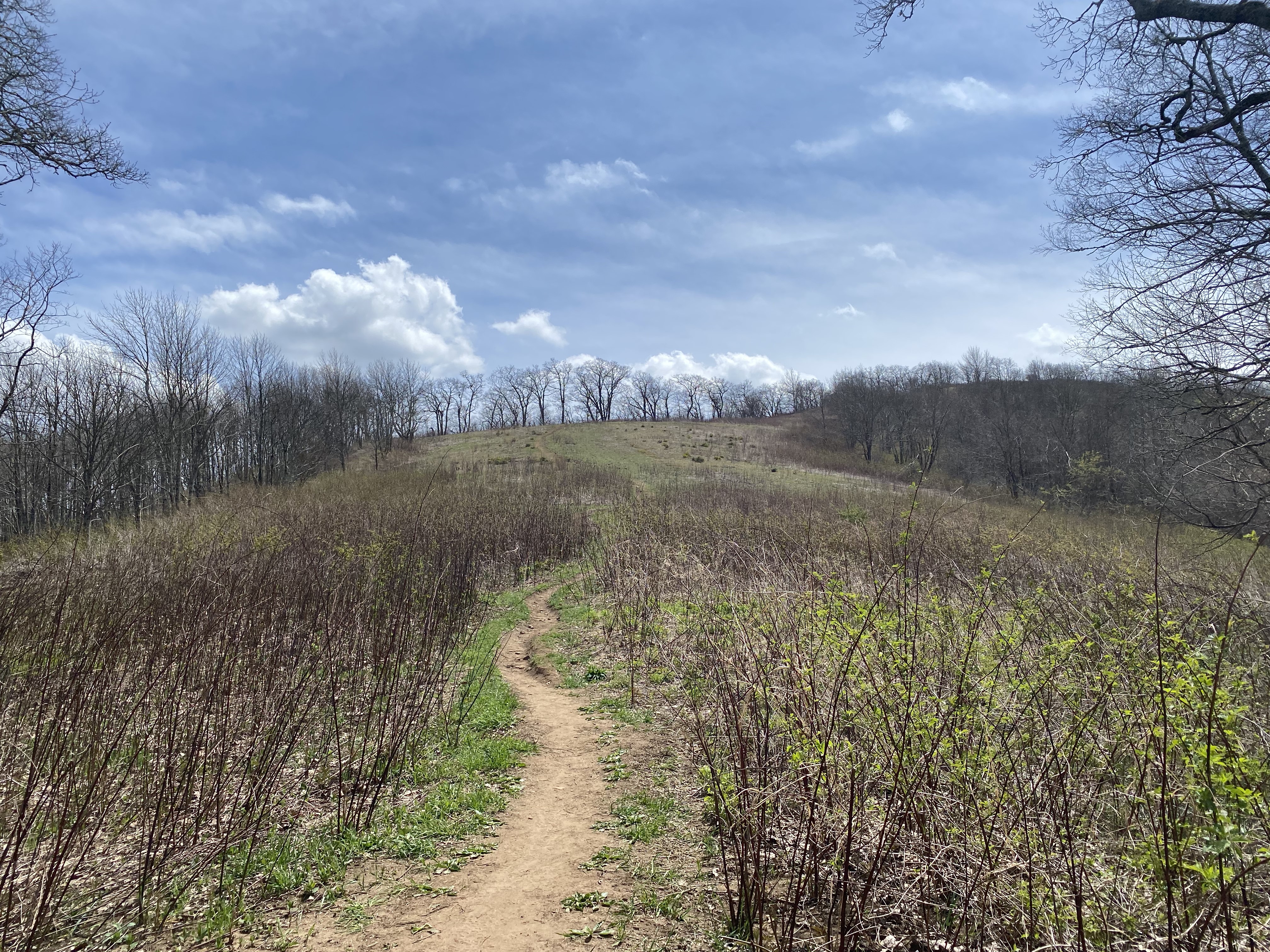
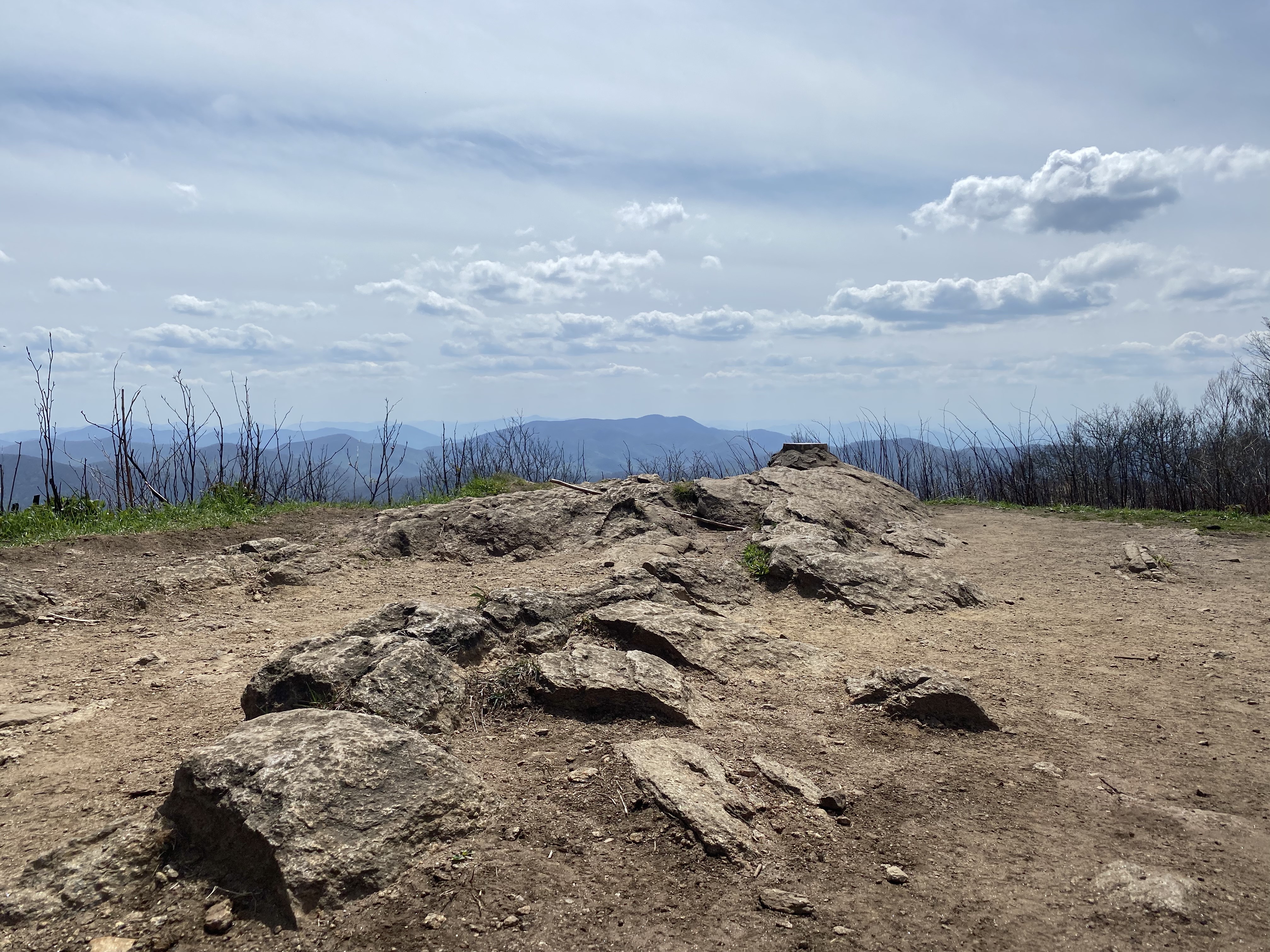
I started off on the AT from the col with Wine Spring, and got about a quarter mile in before realizing that I had no water and no water filtration on me. Ugh. After doubling back, I headed up the ridge, and found the AT to be delightful as usual. The spur up to Siler is beautiful, with open grass all the way to the summit. Definitely worth your time if you're thru-hiking - one of the better views I've seen so far
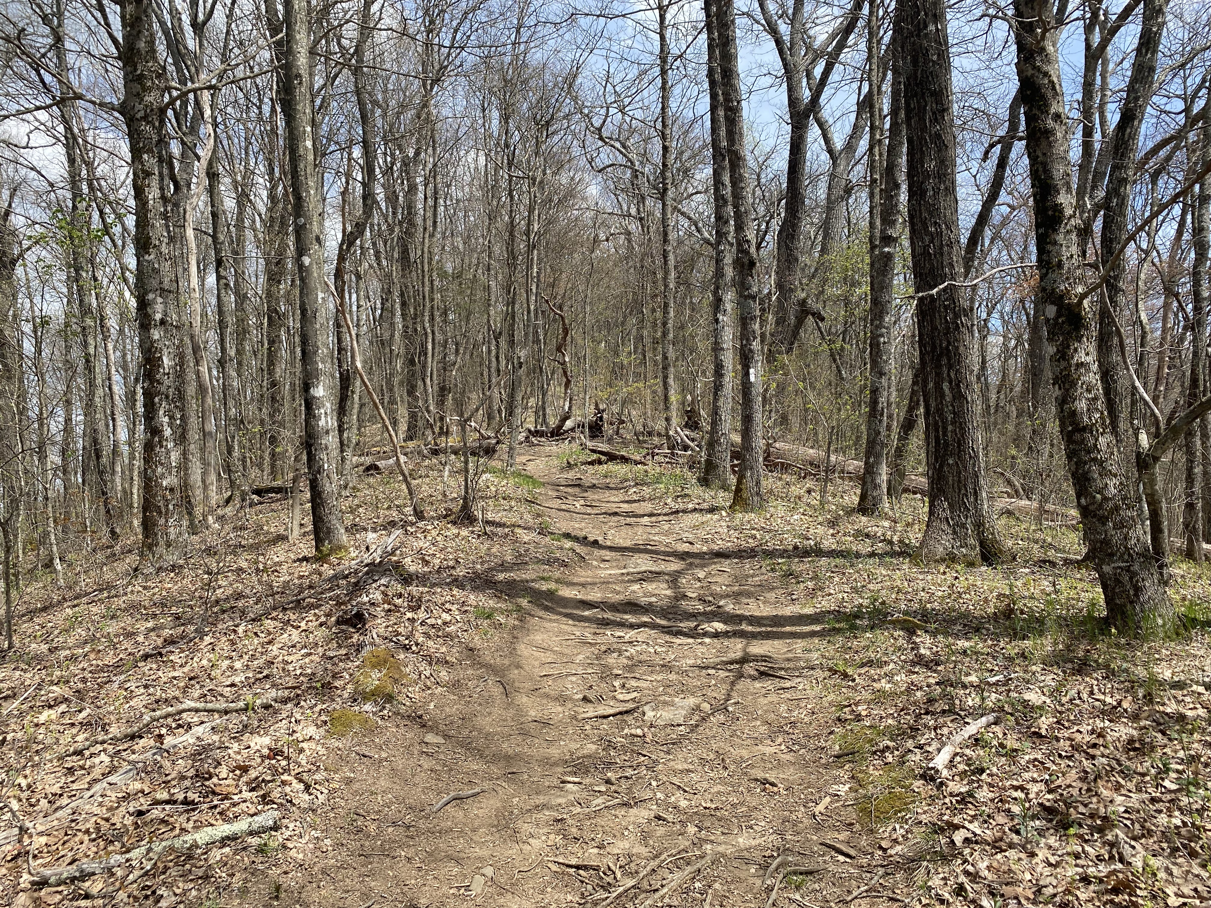
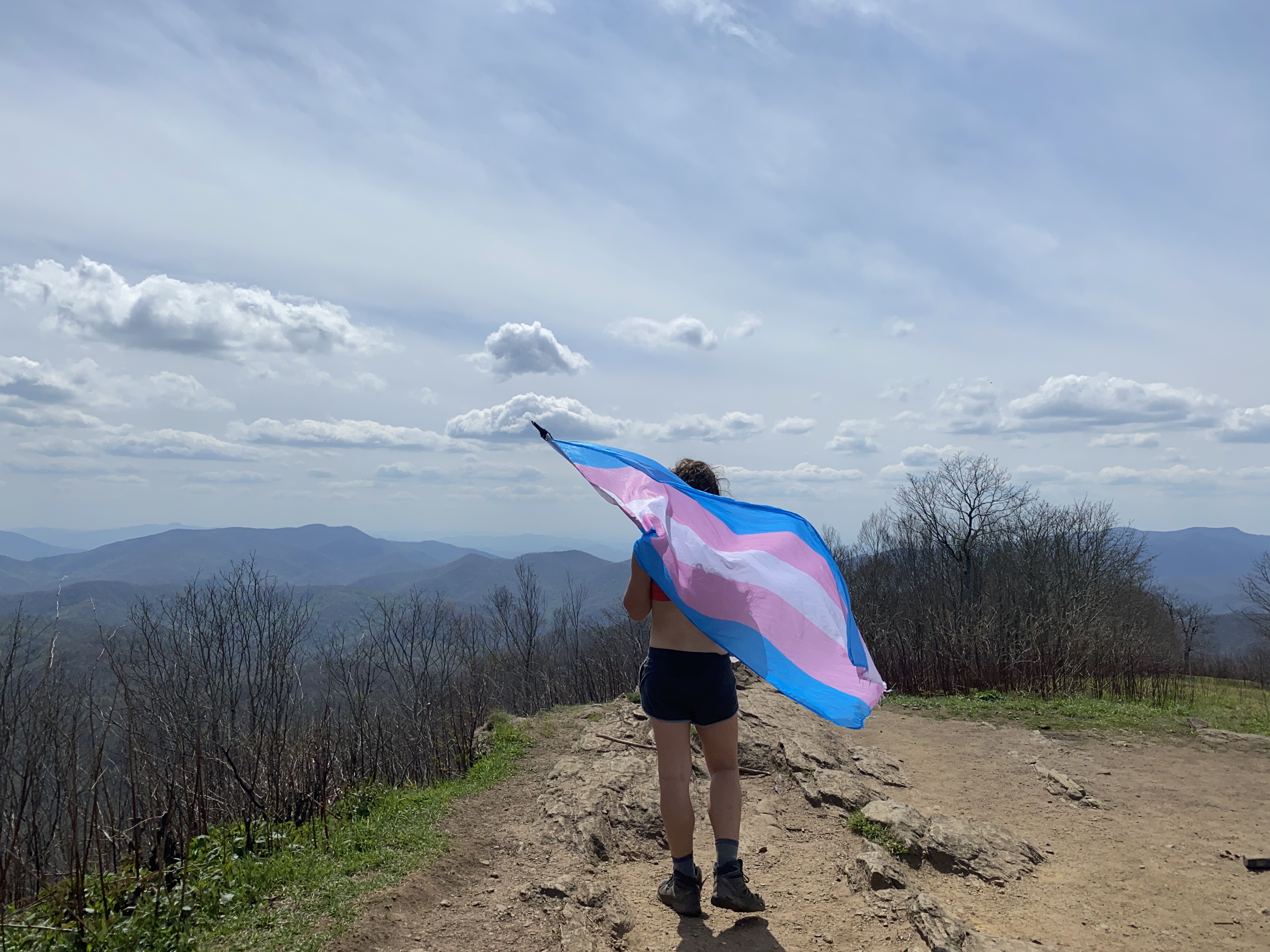
Copper Ridge Bald, April 20th
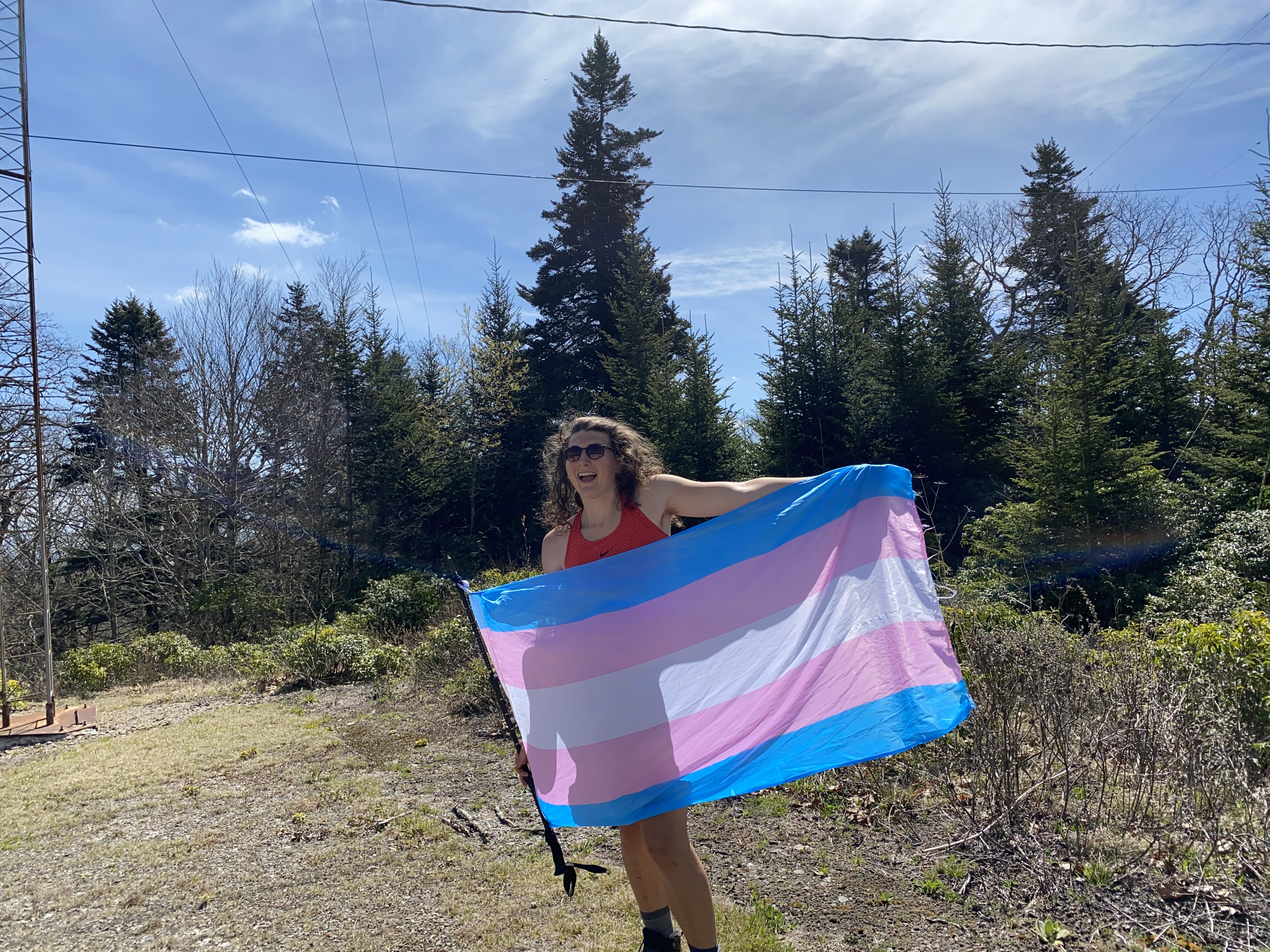
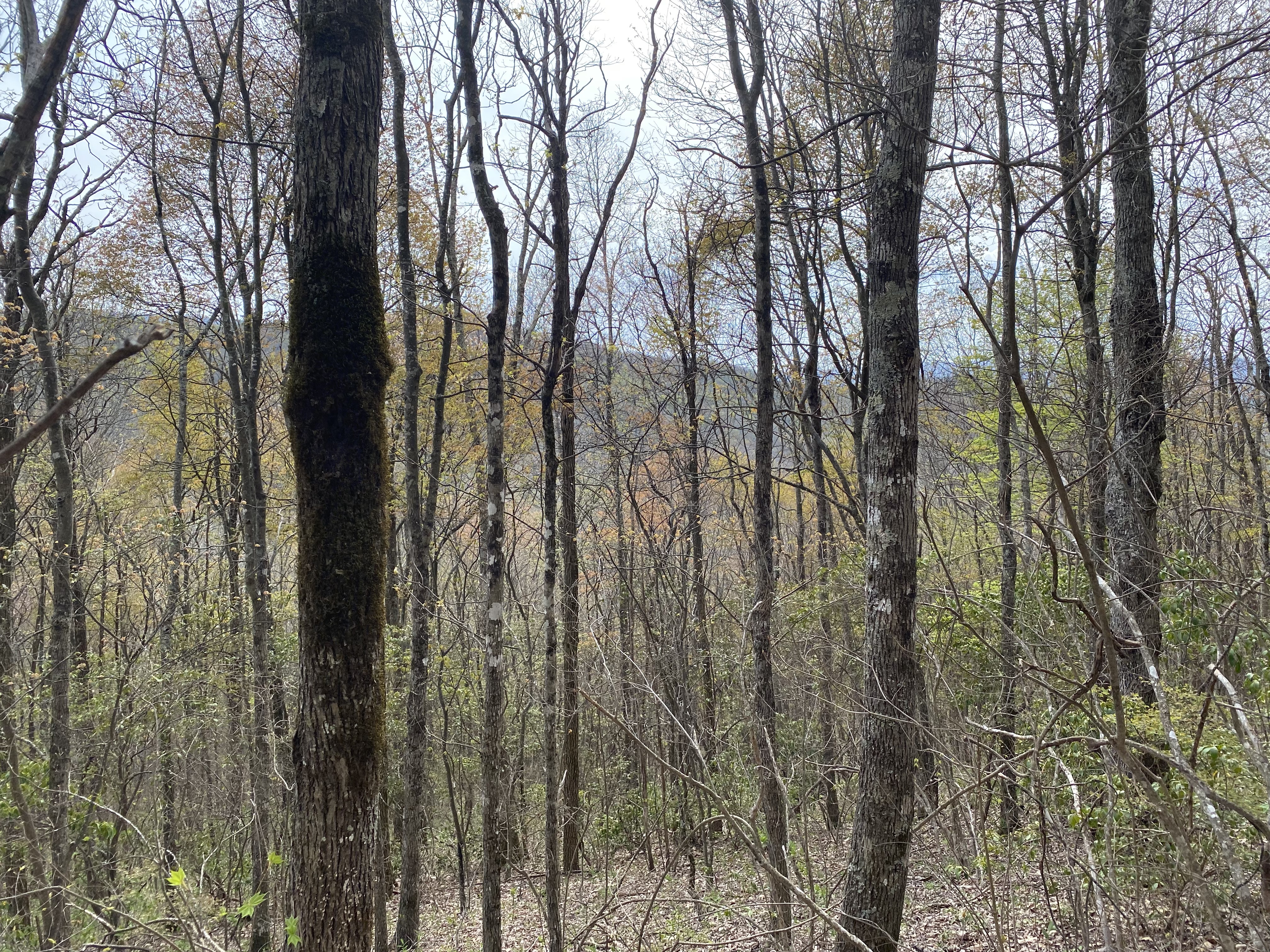
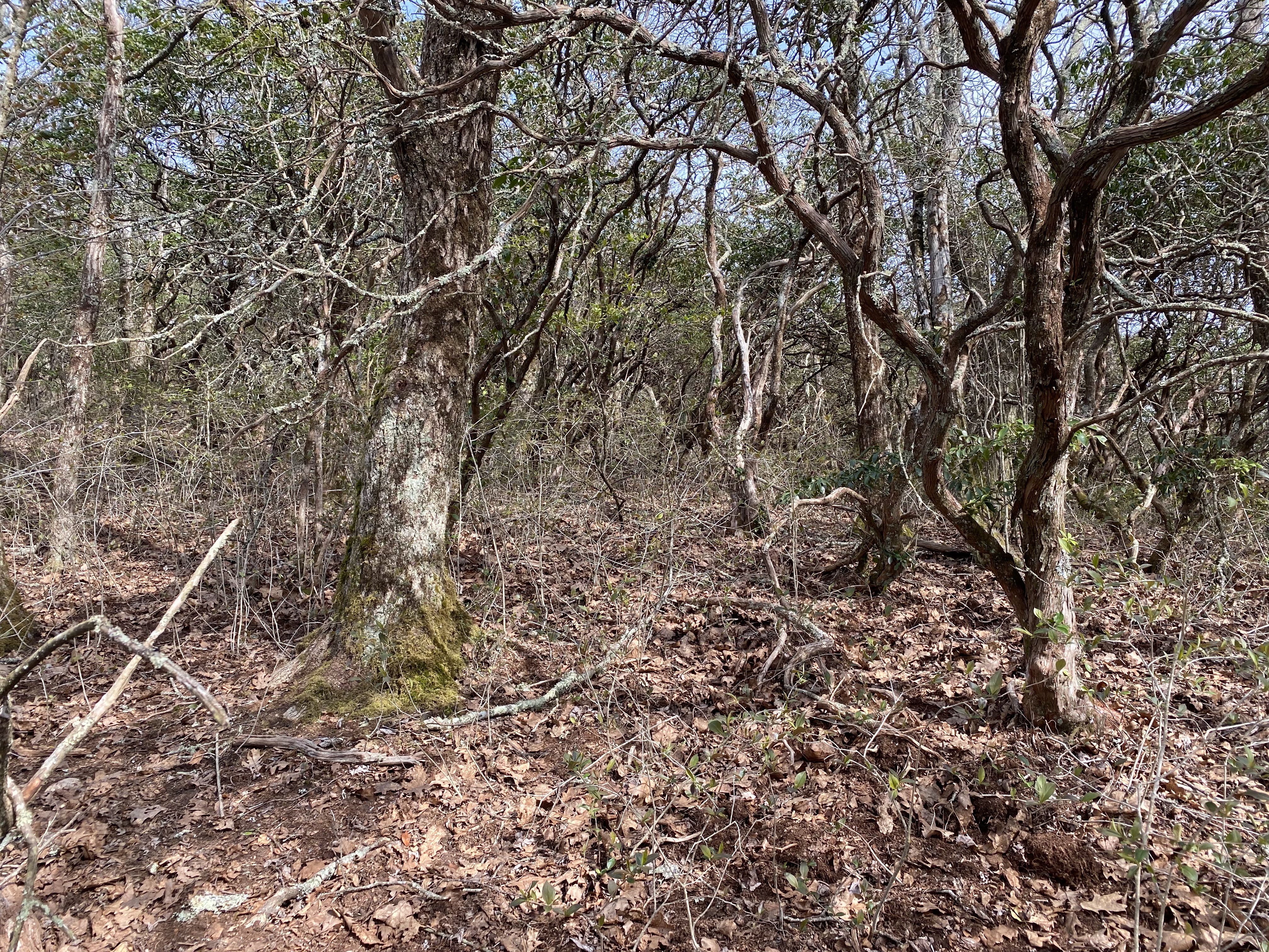
I took Ben Creek Road up to the AT and found no issue whatsoever dirivng up the dirt road - I even had reception at the top! Heading along the at was nice, and I ran into a few thru-hikers that I had met on Siler earlier that day - I should've messed with them and claimed that this was my first hike of the day >:) Anyhow, the final bushwhack up to the summit was pretty tough, and I couldn't find a good clear and flat spot to take a photo, so I took one back at the trail next to the summit. Once again, not really worth your time unless you're peakbagging imo - but that's why you're here isn't it ;)

Cheoah Bald, April 21st
Cheoah was nice because I started down by the Natahala River, so I got to feel like I really "earned" the ascent. Not that people don't "earn" ascents when they do them from higher trailheads, but I'm just not used to those being from the northeast where the highest trailhead is at 3000ft and most are well bellow 2000ft. Anyhow, I parked at a little pulloff right at the intersection of Ledbetter Creek and Bartram Trail, cutting off the last quarter-mile of flat hiking to the actual trailhead. I found no issues following the clear-path to the trail from the parking area
