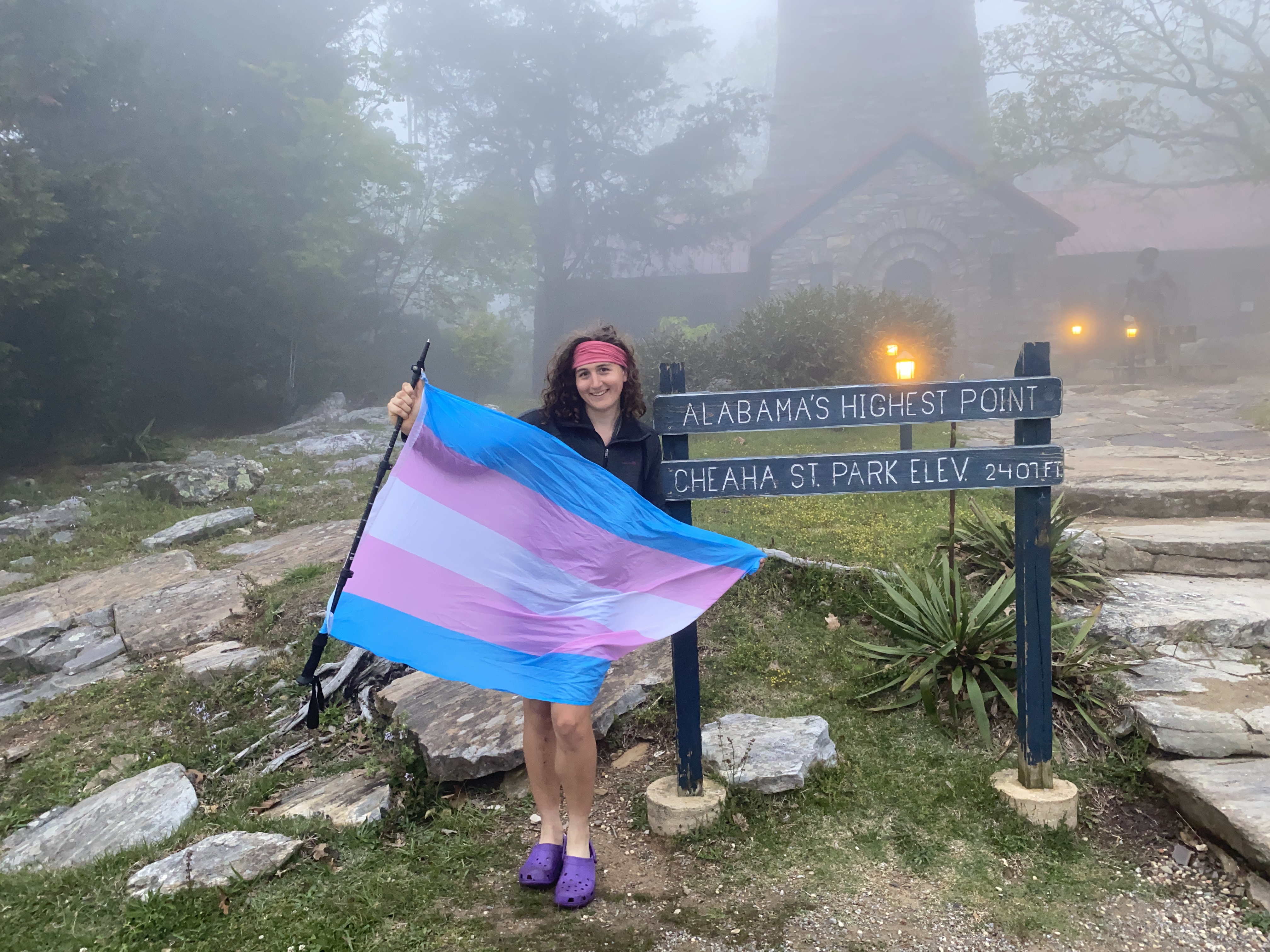
Ravencliff Knob, Blood, Yonah, Tray, Brasstown Bald, and Cheaha: April 25th-26th, 2023
Ravencliff Knob, April 25th
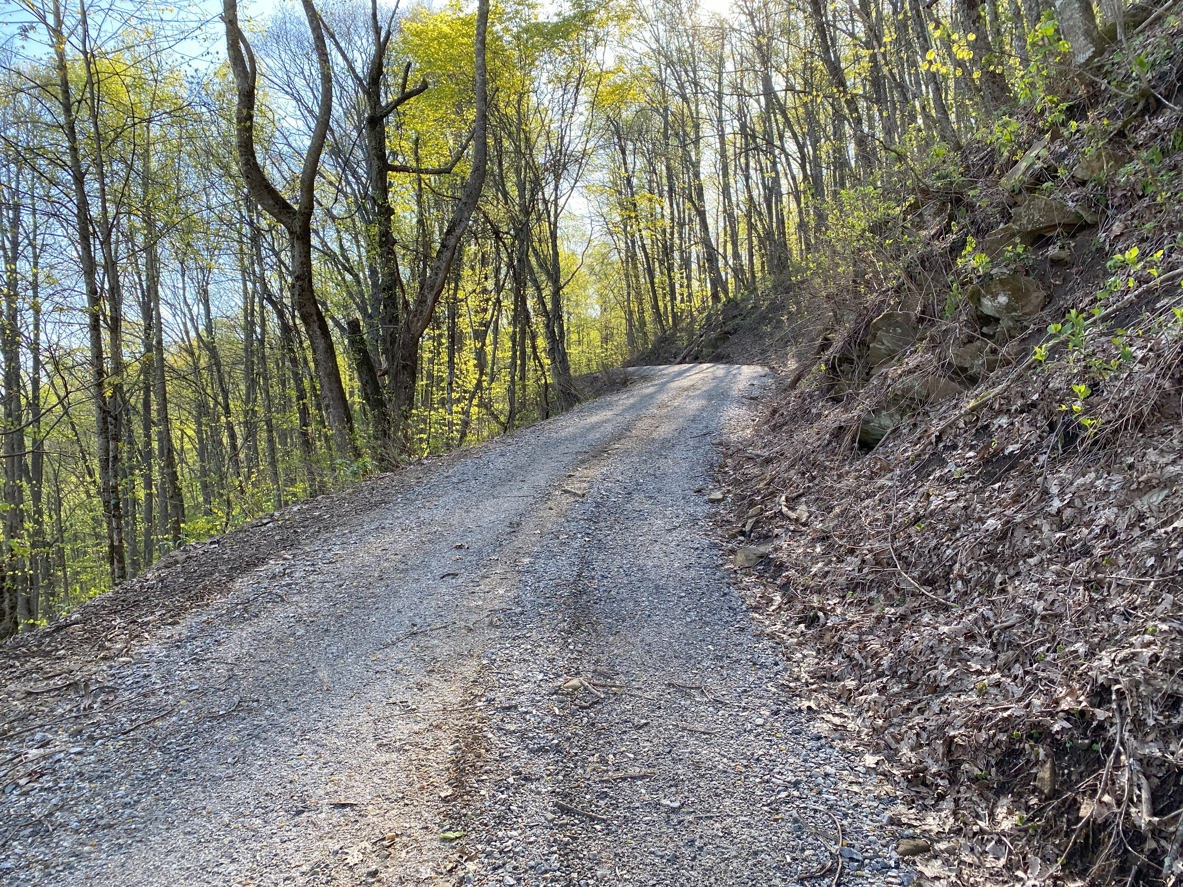
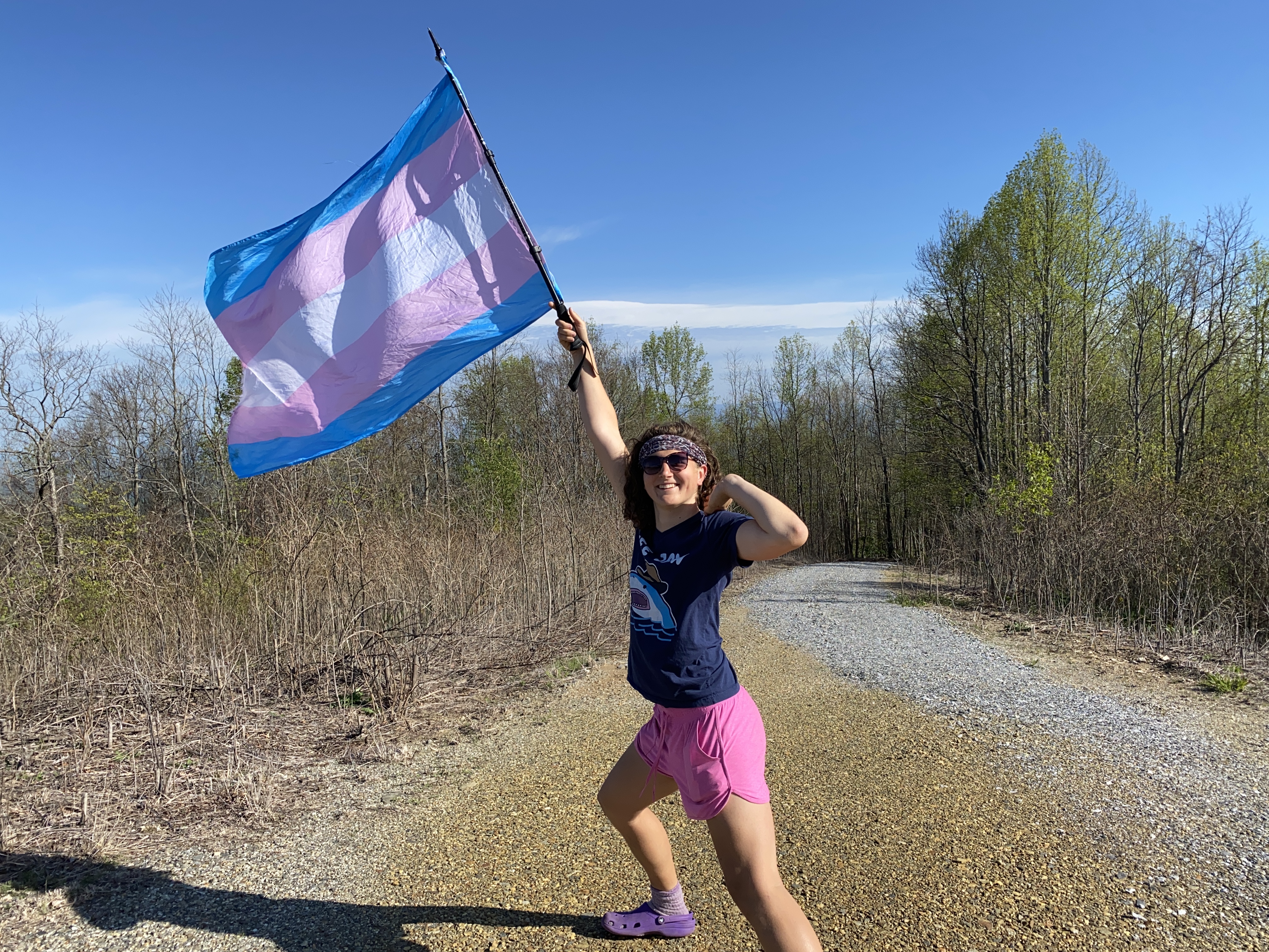
Following the previous trip reports will get you there alright, with me here to add that the whole road up to the summit is pretty drivable minus the gated final portion
Blood Mountain, April 25th
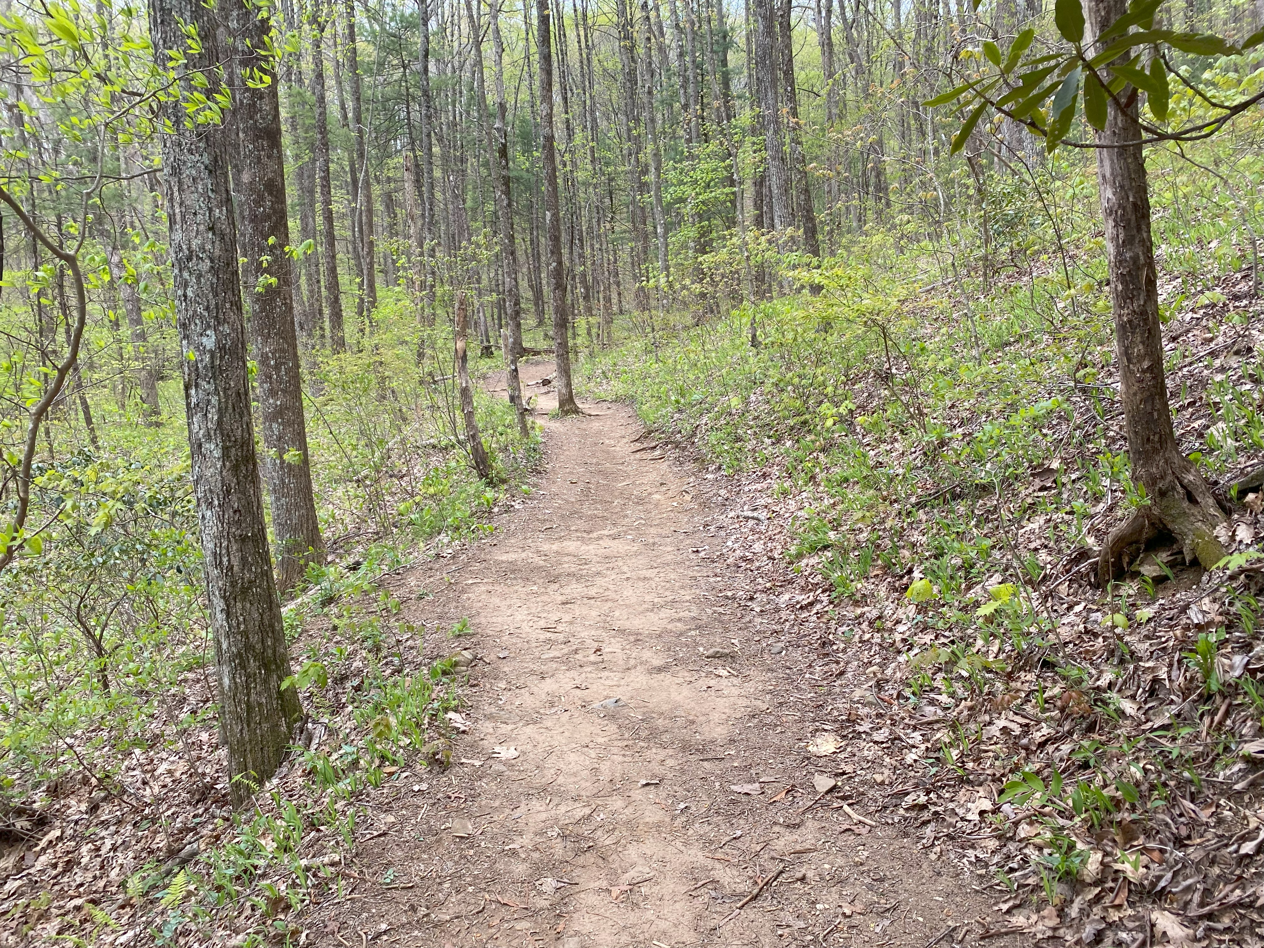
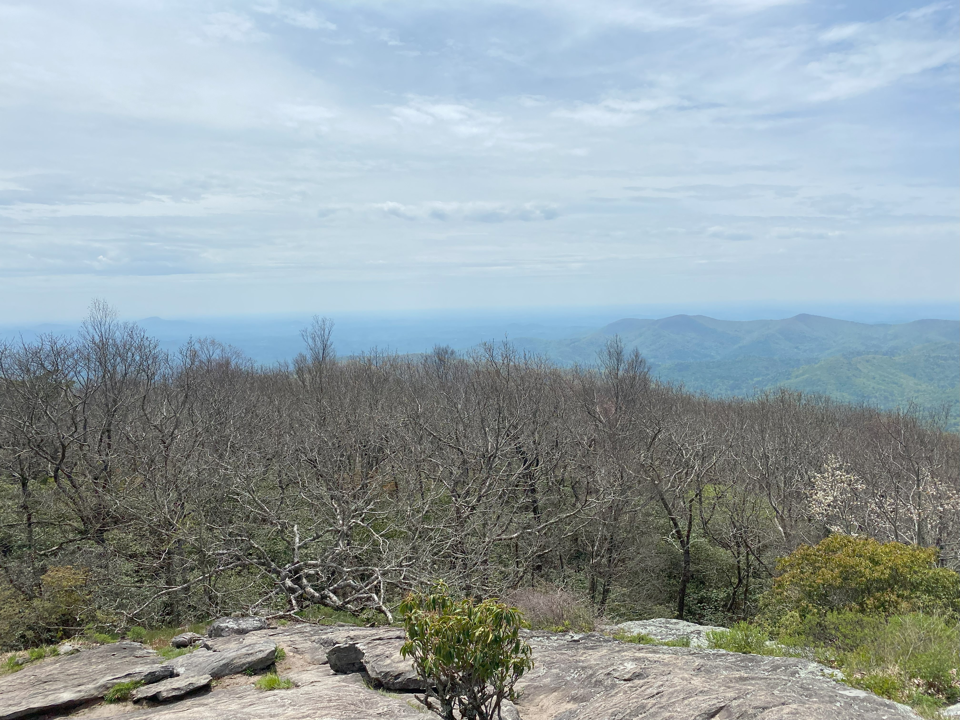
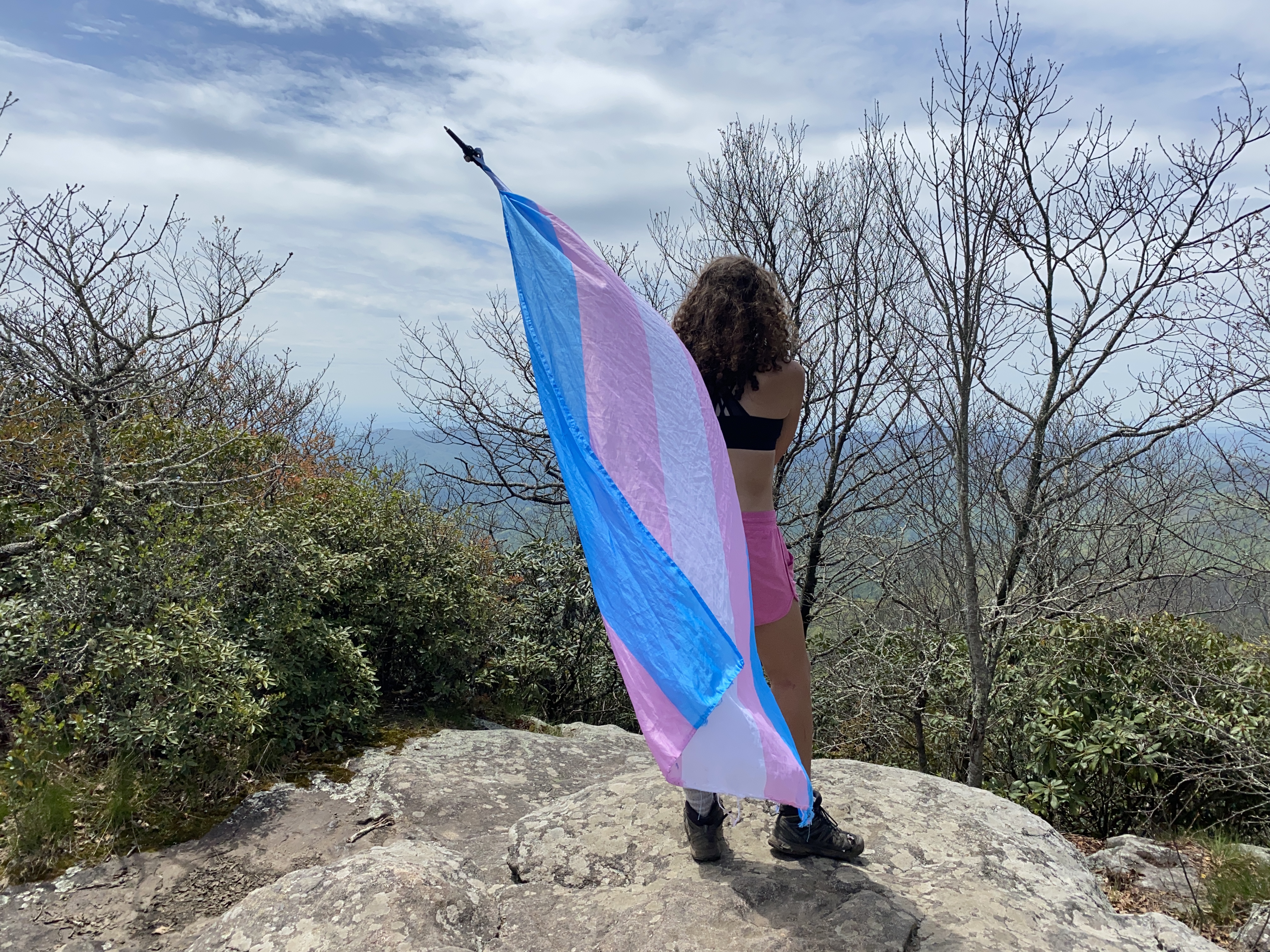
The AT route is well-documented for this 4000fter, so I'll spare you the details except to say that it was a delightful hike with some good views!
Yonah Mountain, April 25th
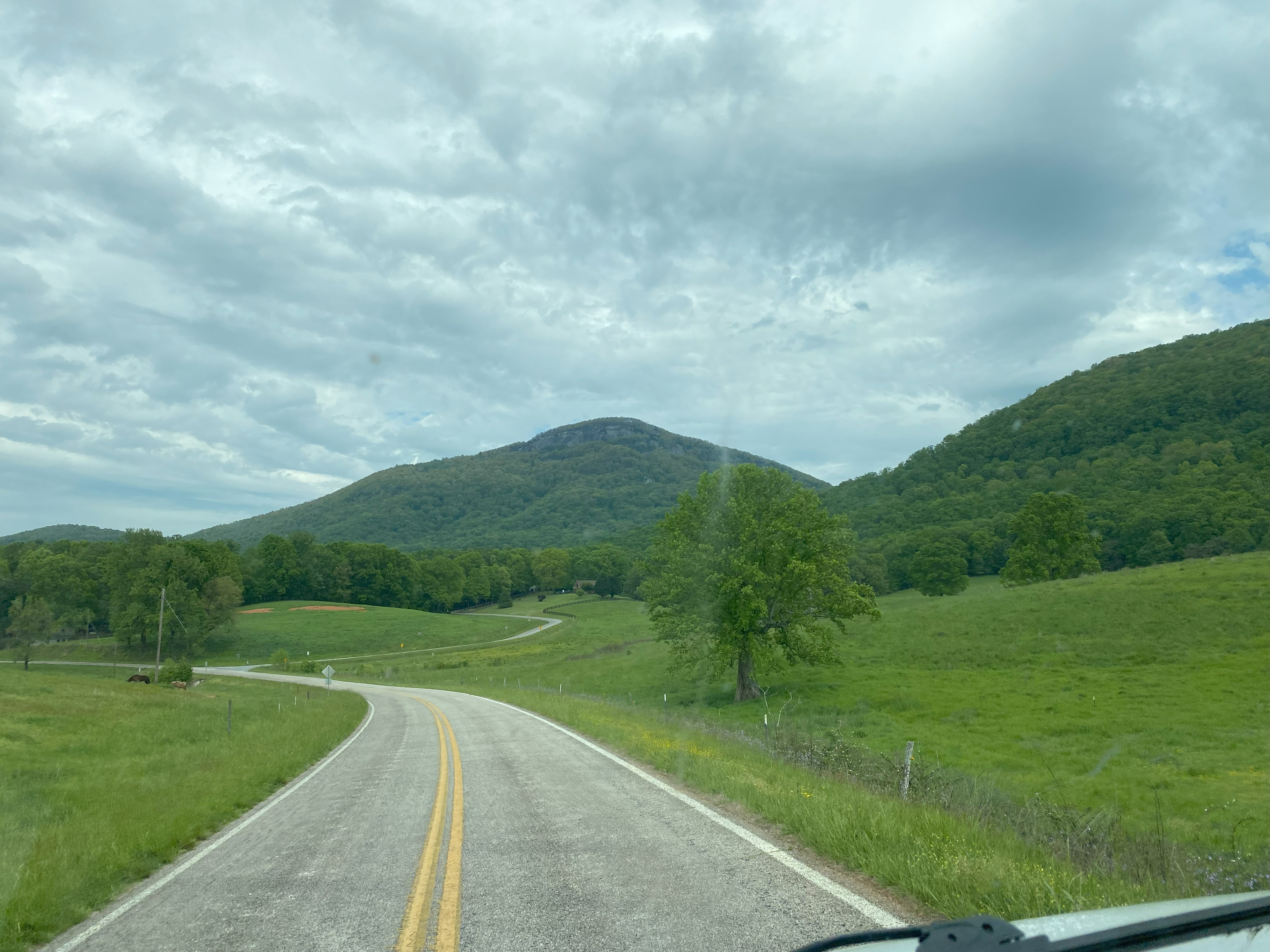
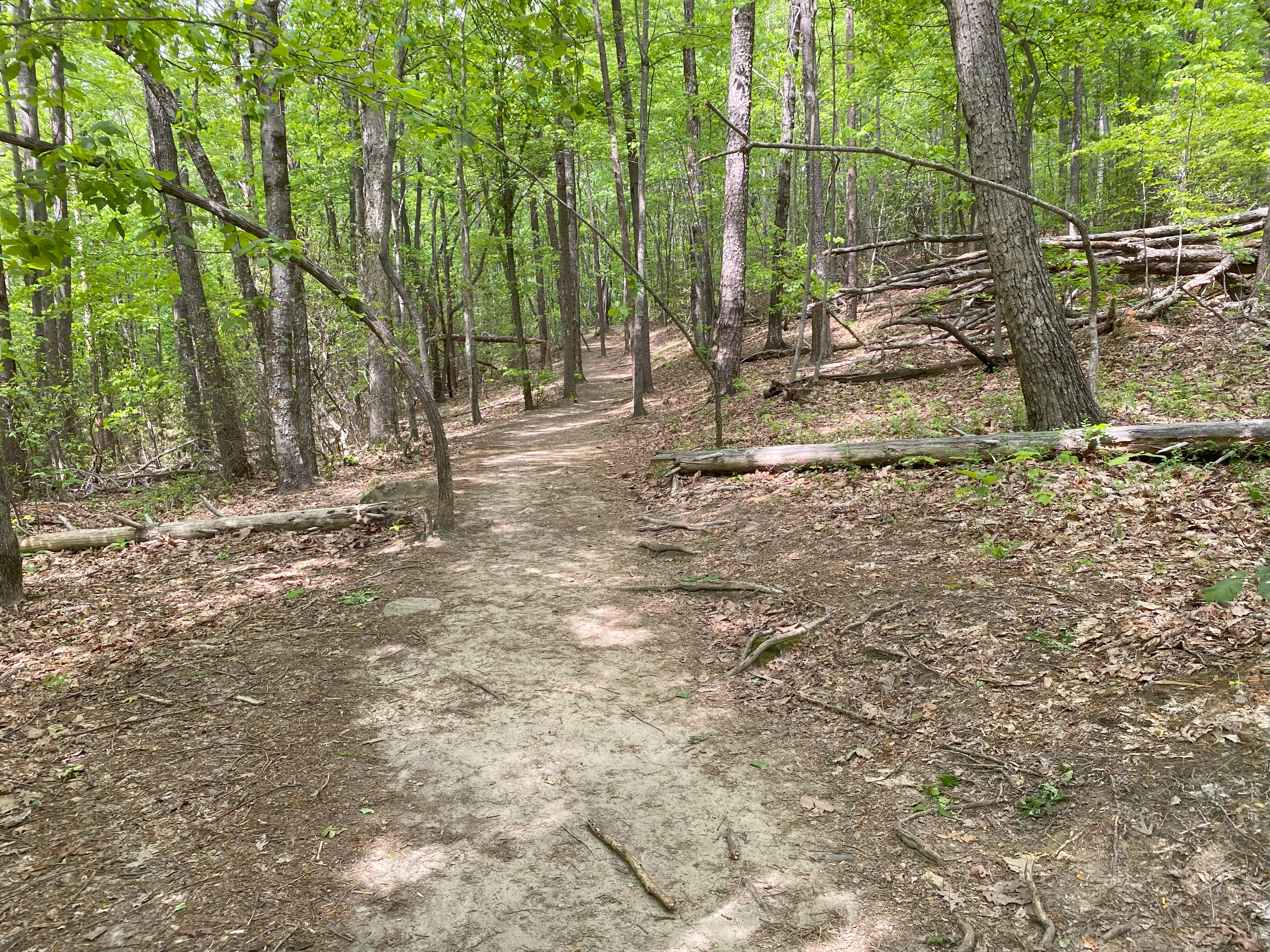
Go to the USFS trailhead on the western side of the mountain for this one. Trust me, none of the other roads are accessible - I tried. Anyhow, the trail is decent if confusing due to runoff and people cutting corners and switchbacks
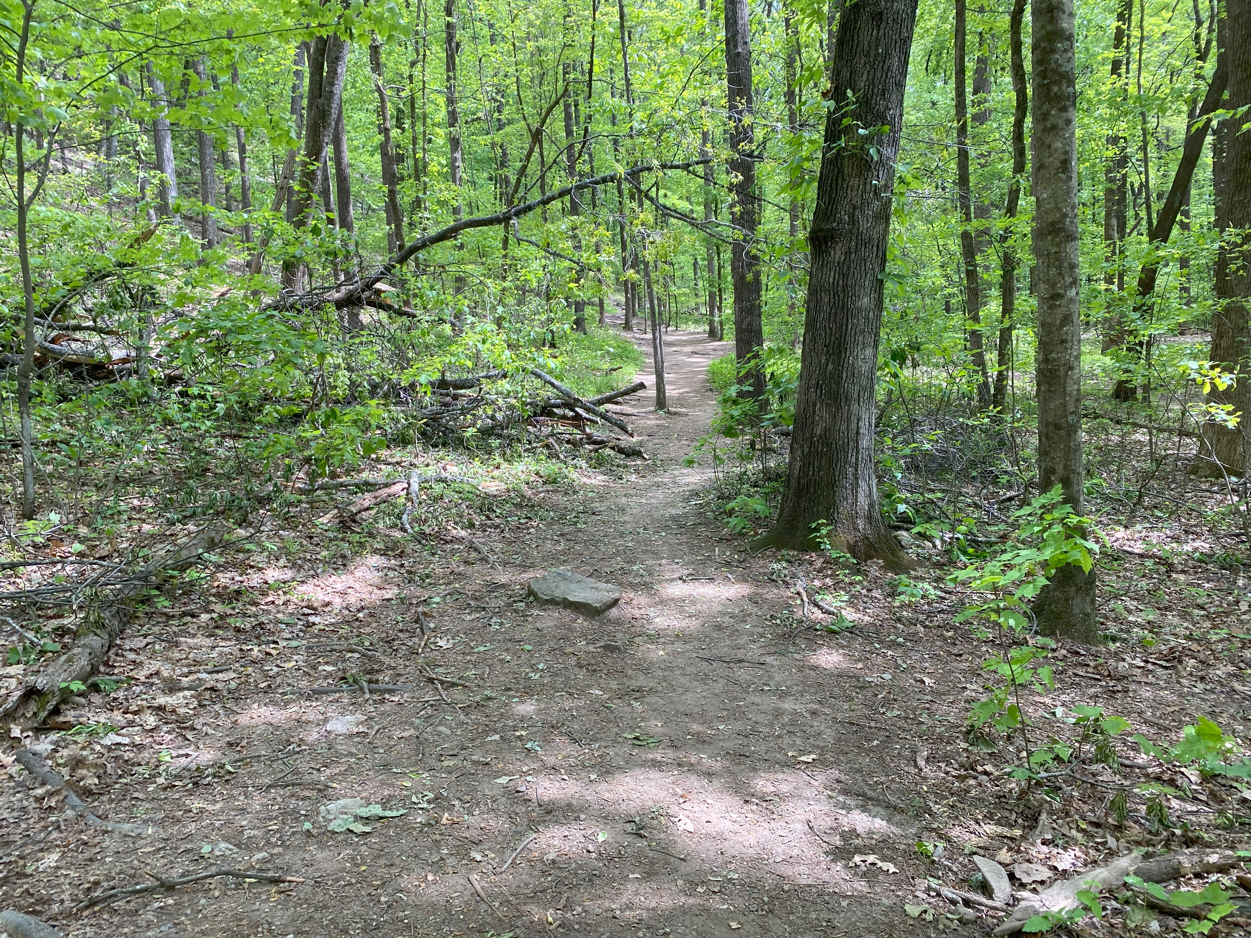
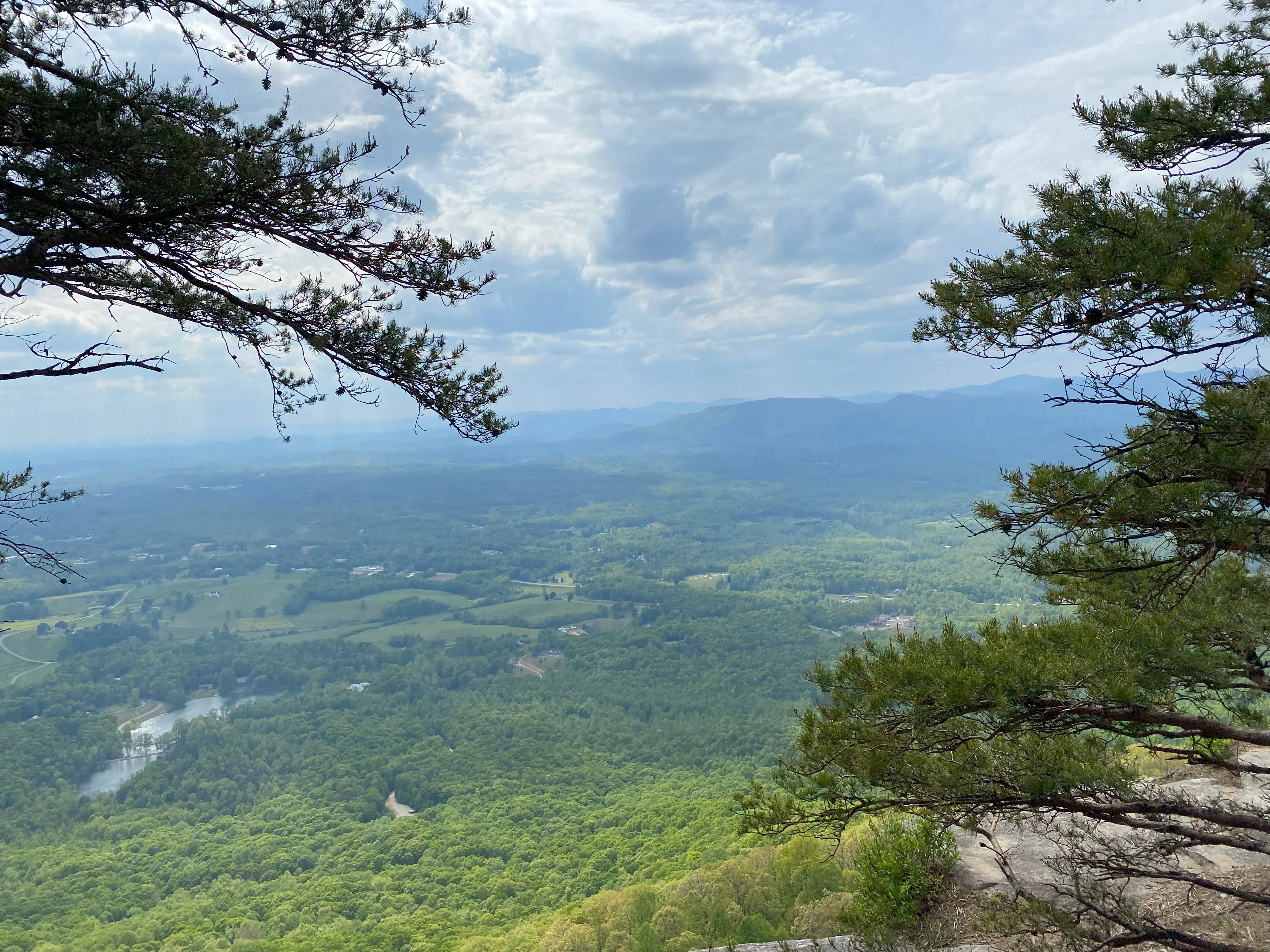
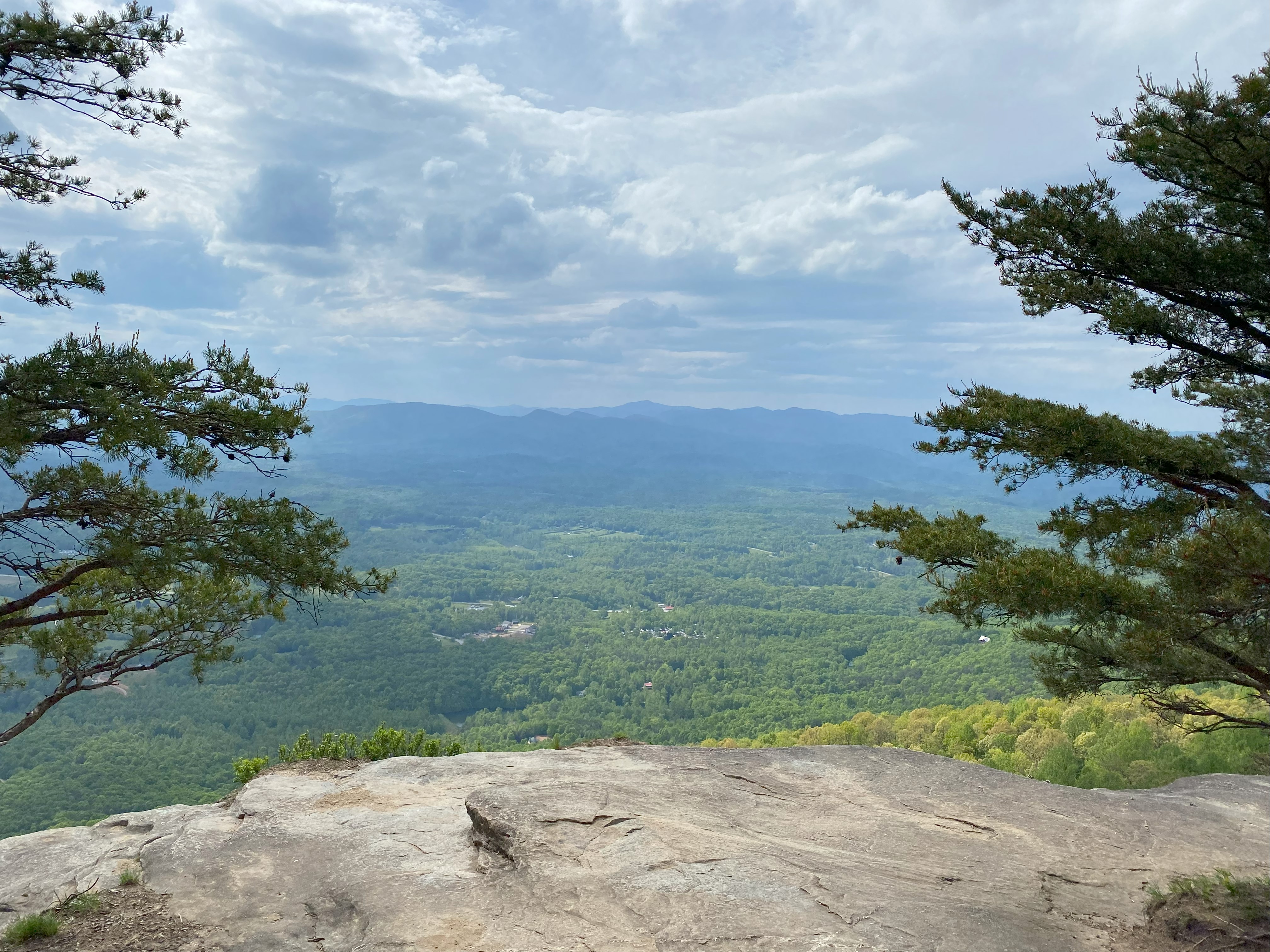
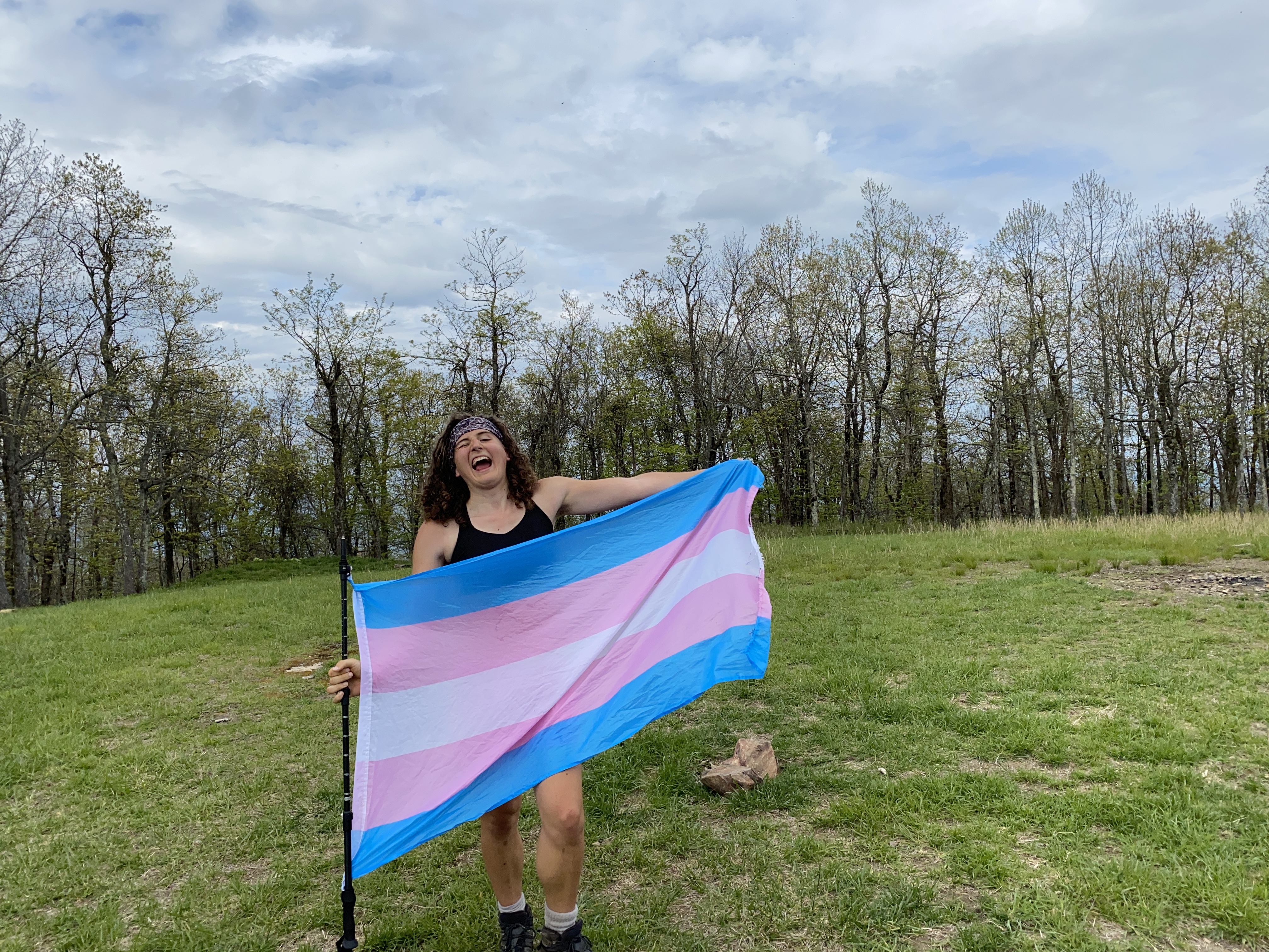
Tray Mountain, April 26th
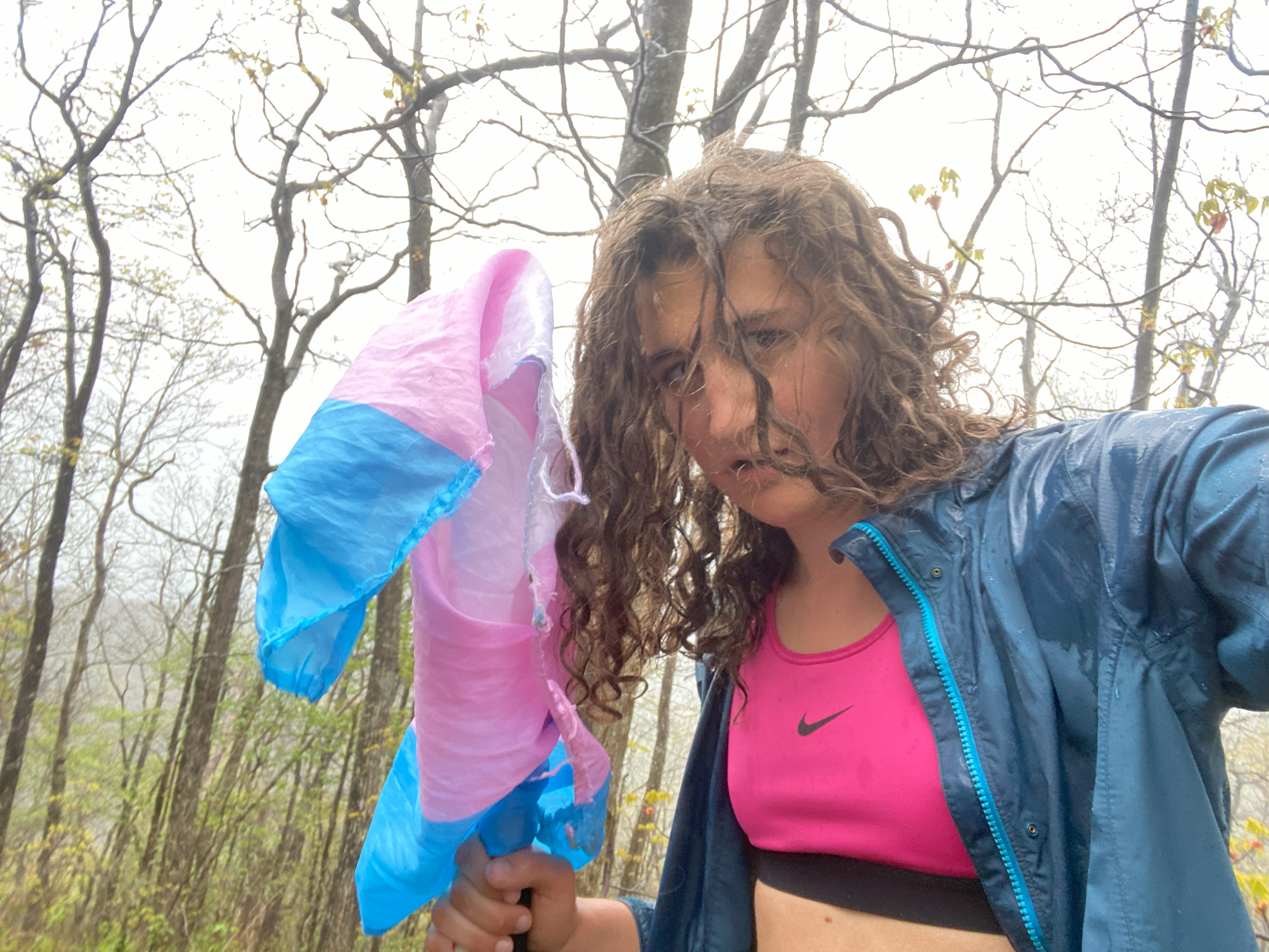
This mountain resoundingly kicked my ass. I drove up Tray Mountain Road from 17 up to about 3600ft, where some rut sin the road made me uncomfortable preoceeding. It was getting dark, so I resolved to push up the following morning. And as soon as I started, freezing rain. Well, not really since it was only in the low 40s, but it was definitely putting me on the path to hypothermia. Pushing up the road and then the at was easy, but I could only take one photo near the summit due to worries about losing my dexterity, so I push on downward. I took Indian Grave Gap Road down and that was good except for a ford at the very end which I got across carefully - be sure not to go down this way if you're in a sedan
Brasstown Bald, April 26th
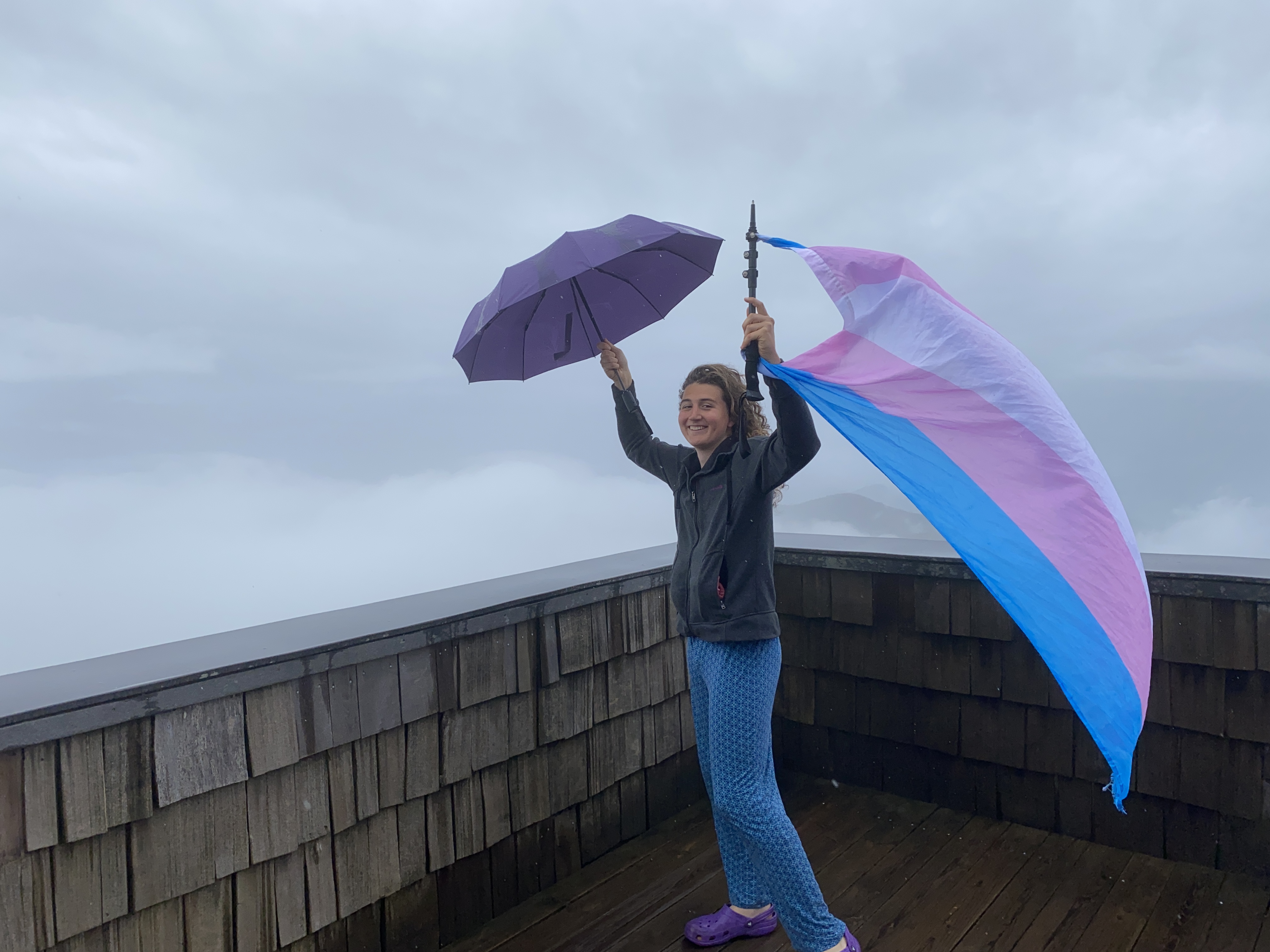
Right after Tray I moved over to Brasstown and parked at the visitor center and started up the peak. Paved, cleared, and with benches along the way, this should present no issue to the average peakbagger. Very limited views at the top due to the rain
Cheaha Mountain, April 26th
The drive from Brasstown to Cheaha took quite some time, and I ended up getting to the gate right as they were closing for the day, so I went down to the Cheaha Pinhoti Trailhead and biked up, snuck through the woods, and got my pictures at the summit right as it was getting dark. Be gay, do crimes
