Lookout, Hitch, Cross, and Longmont Benchmark, April 28th-29th, 2023
Lookout Mountain, April 28th
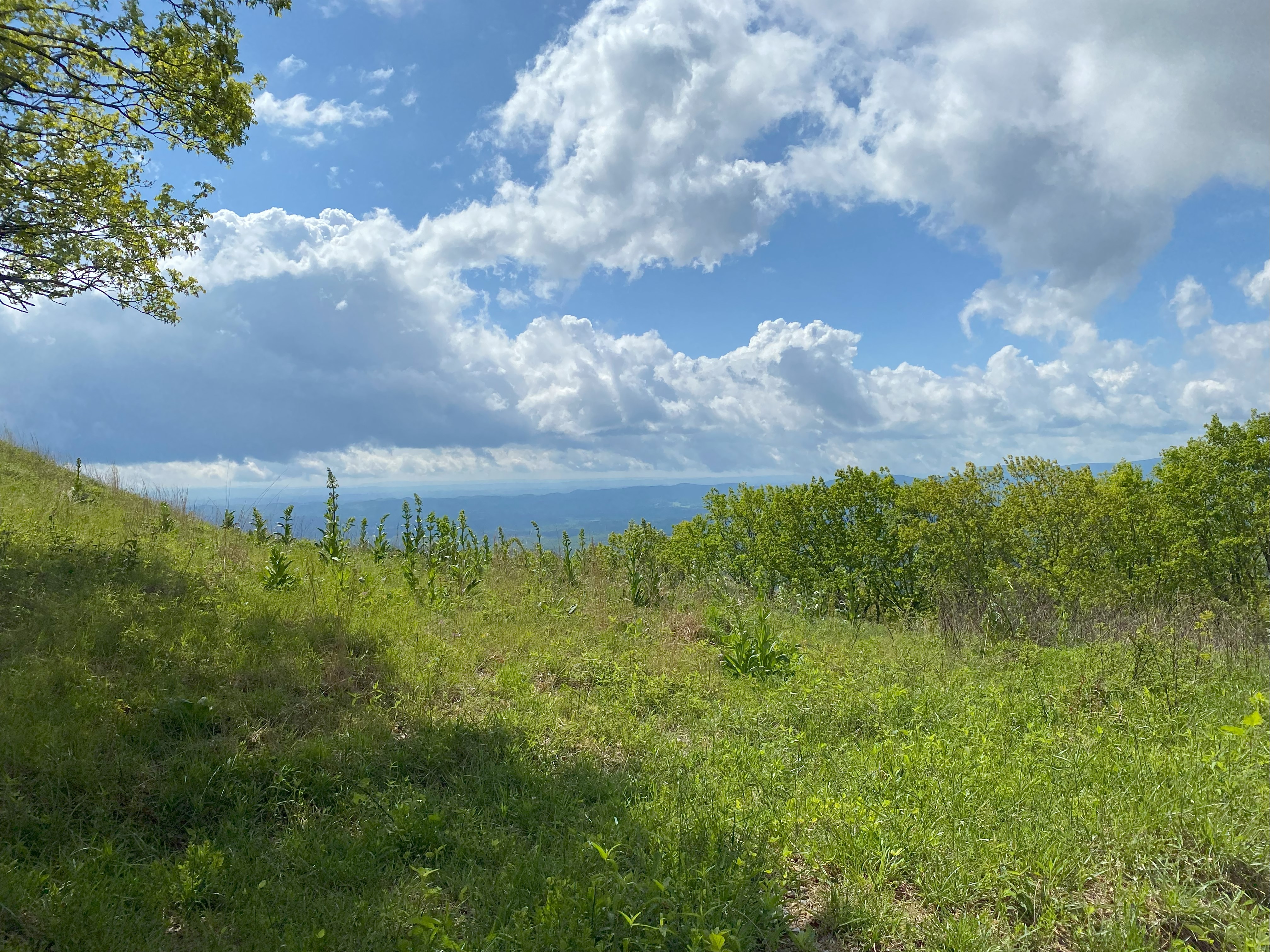
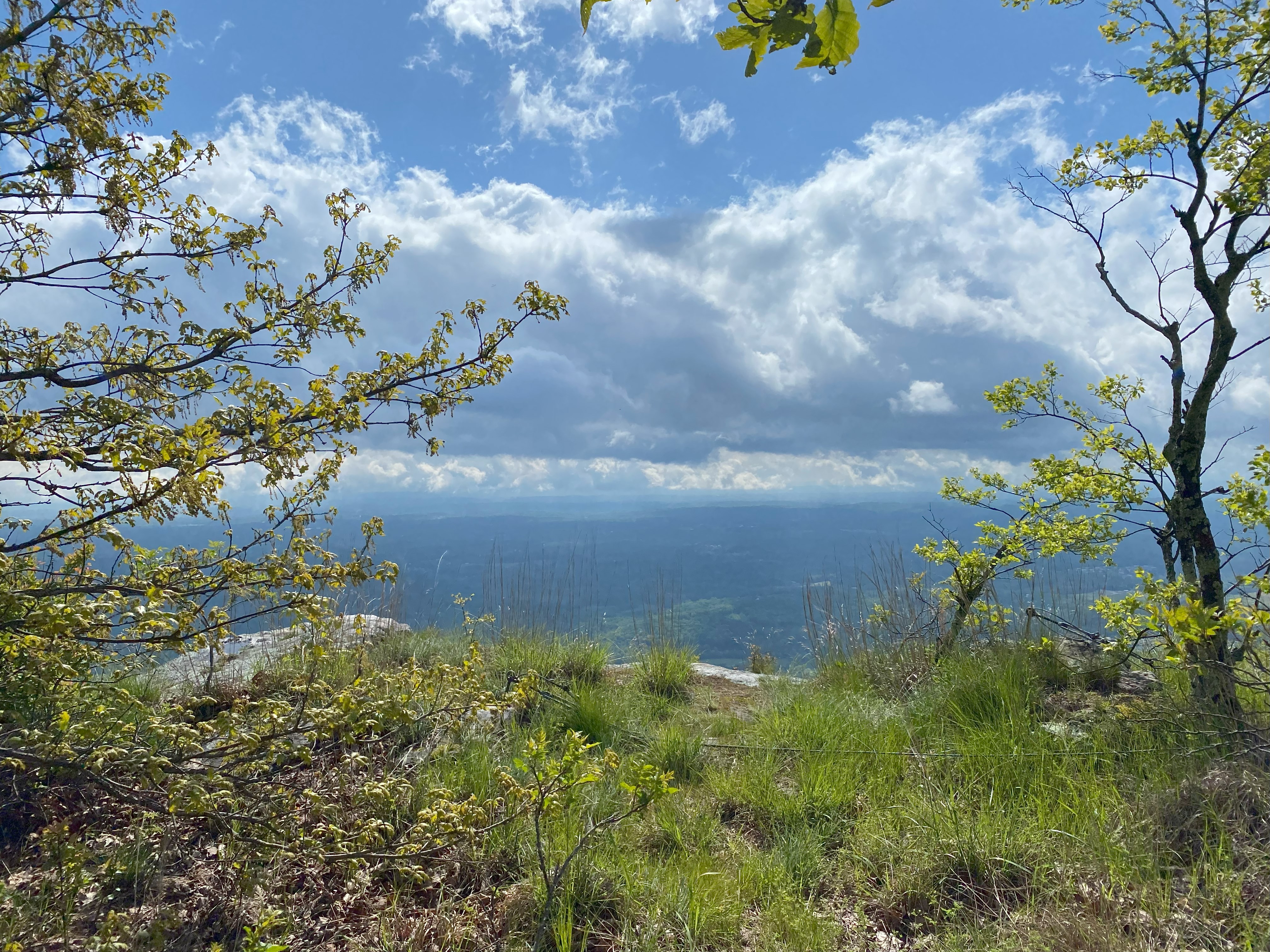
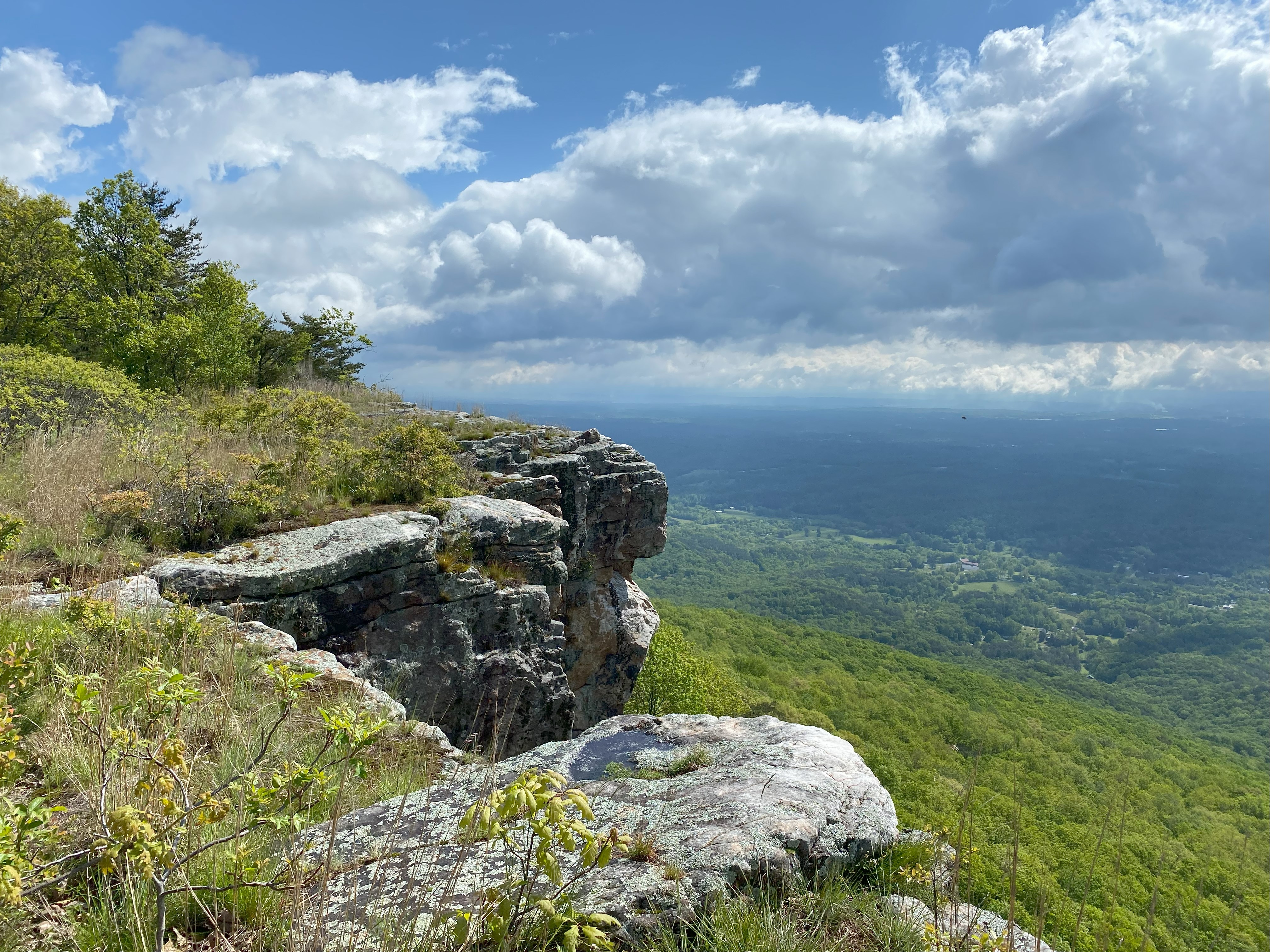
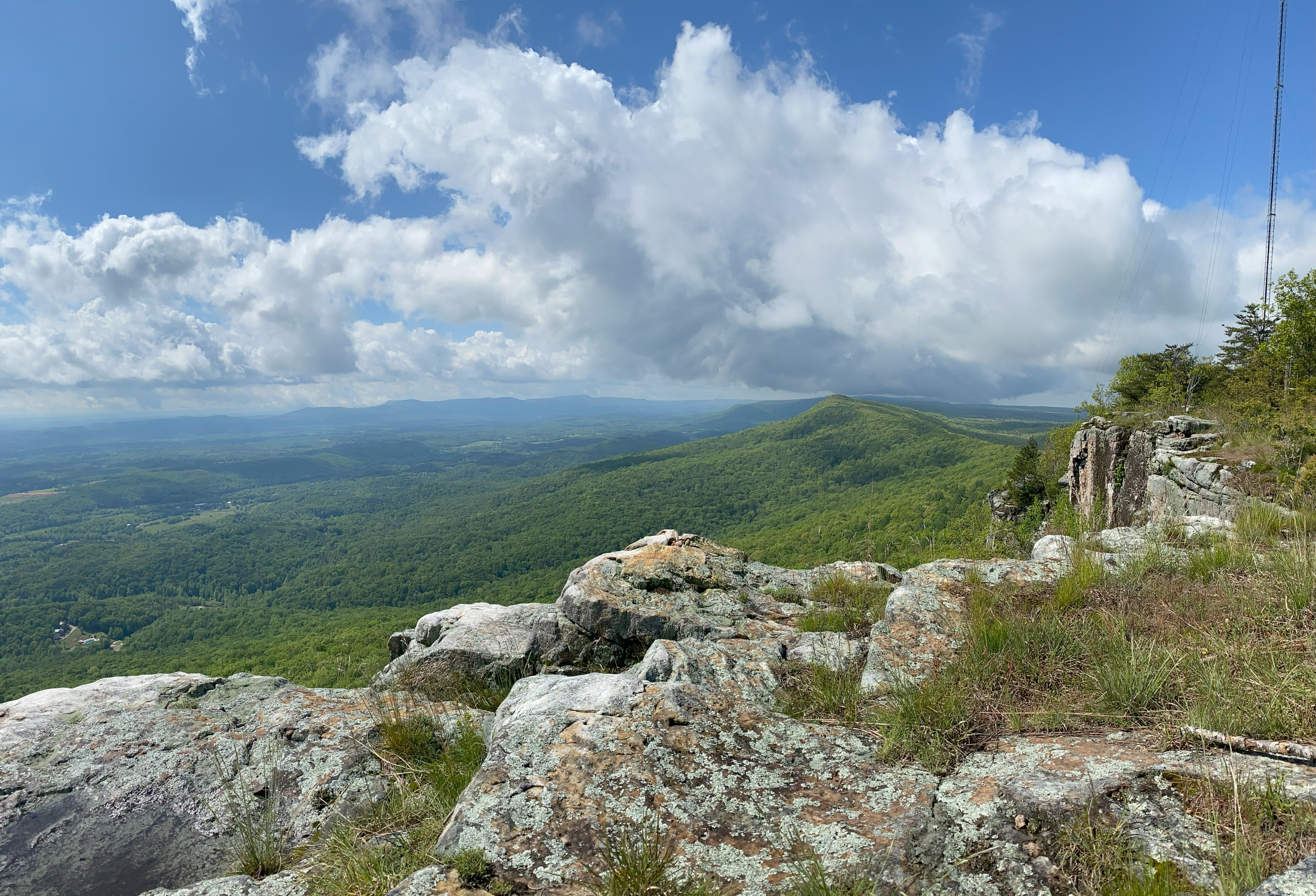
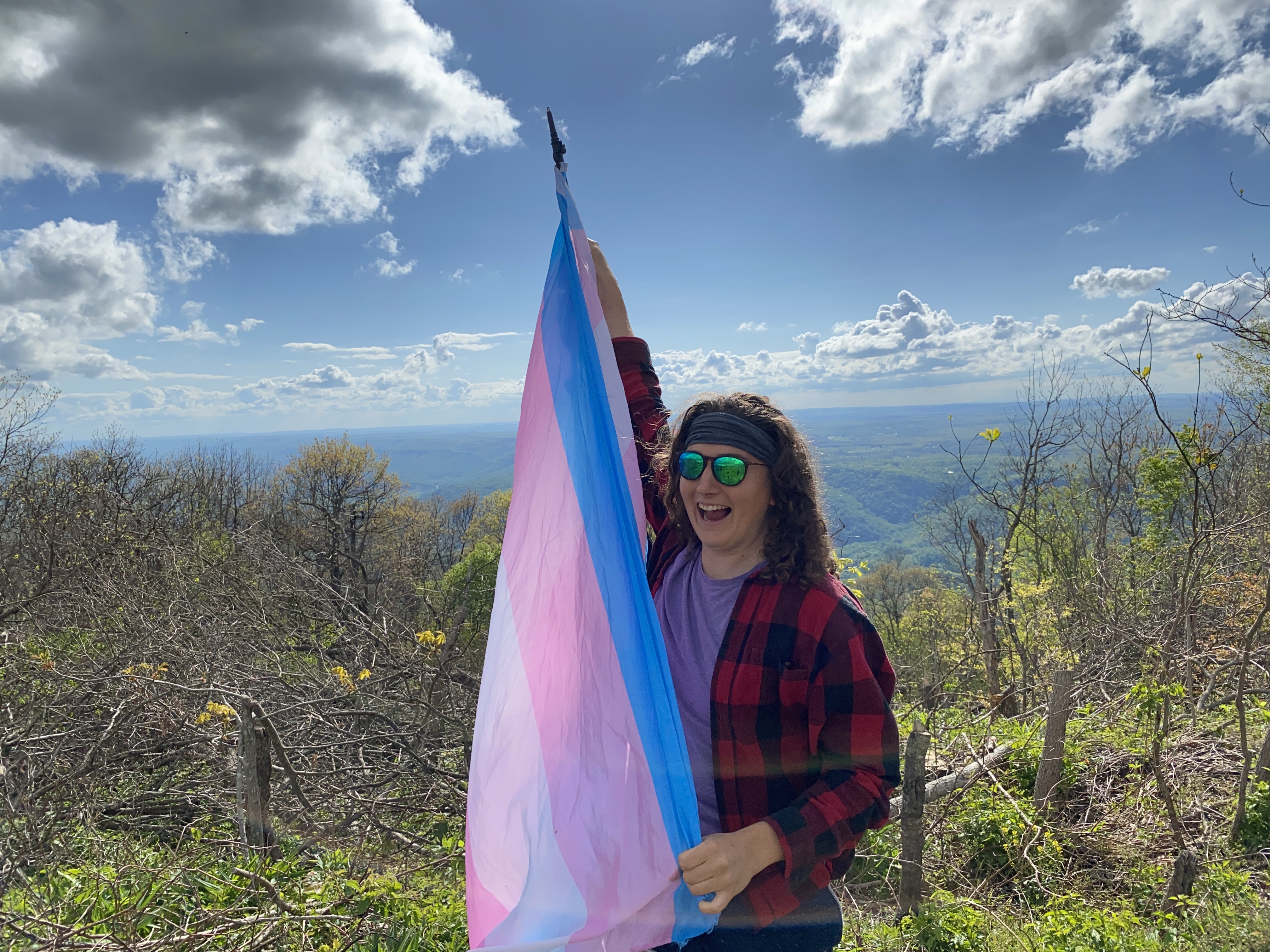
I did this peak starting from the unmarked, but free, trailhead on Durham Road. I biked along the road and over to the Cloudland Canyon Connector trail that led to tower road. Though not really because I ended up taking a shortcut which spat me halfway down the canyon and made me have to bushwhack with my mountain bike - which actually wasn't too bad of an experience tbh. Anyhow, I took the road up to the summit and almost decided to call it a day at the clearing just shy of the first tower, but I'm glad I didn't. The summit itself is georgeous and legitimately the best I've seen in the south so far - my jaw dropped at it. Fantastic peak that is well-worth your time - I'll let the photos speak for themselves on this matter. Biking back down and up Tower Road was straightforward, although I did have to hop a gate at the end with my bike. Do this hike, it's incredible
Hitch Mountain, April 28th
Taking the approach of Happy Top road to Hitch Mountain Road from the east is definitely the way to do it. Didn't have any problems on the way in, but on the way out my van slid into a ditch just off the summit. I was able to have reception and called a tow company to get me out, but had a terrible experience that ammounted to paying $400 for a guy in an F150 and a chain to jerk me out of the ditch after turning down an offer from another guy in an F150 to do the same thing because I had been misled by the company to think that an *actual* tow truck was coming. Fucking bullshit, if you get stuck, don't use Yate's in Crossville, cause you'll be livid at the service and the cost. Avoid the road if you're in a heavy vehicle and it's rained recently, and drive carefully
Cross Mountain, April 29th
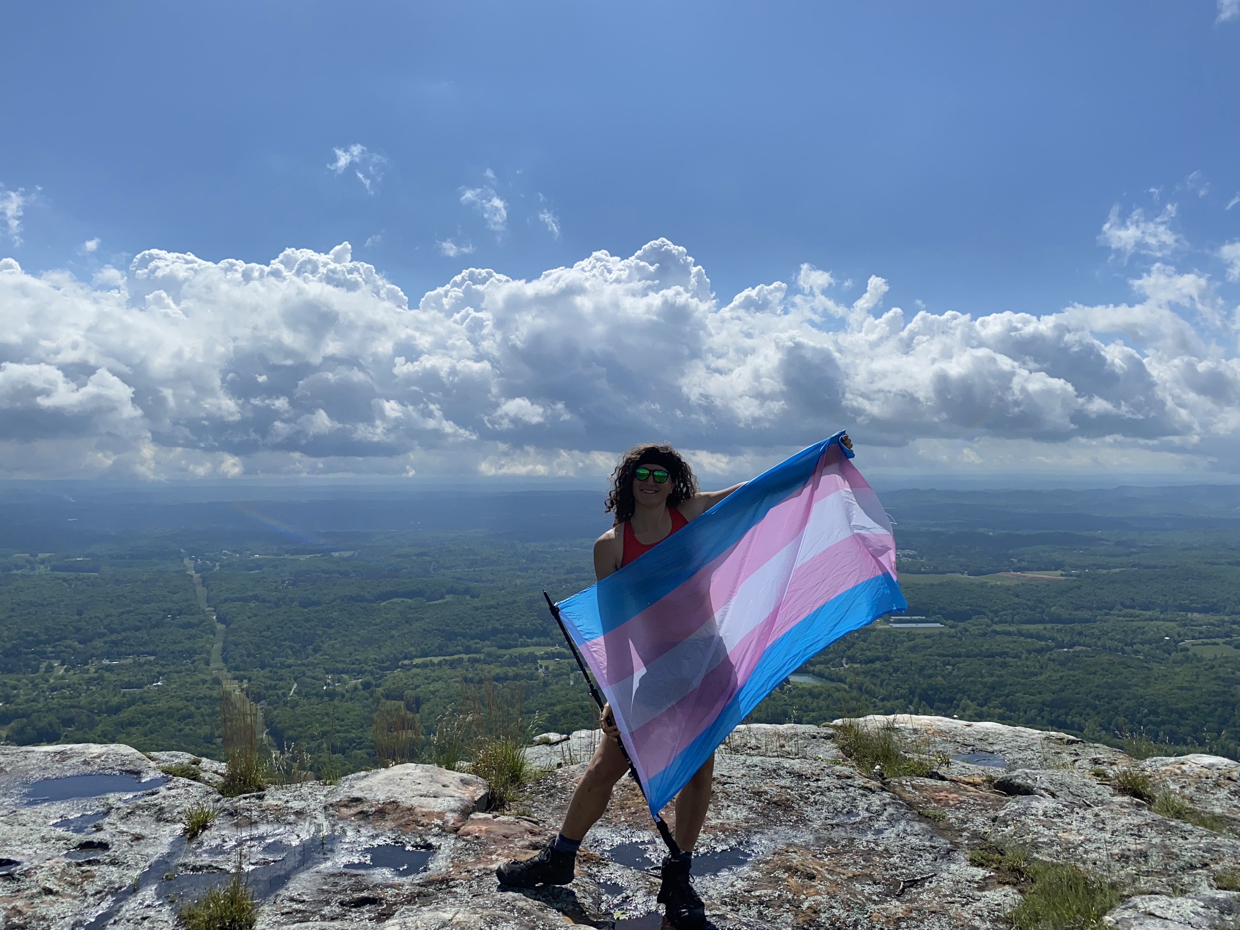
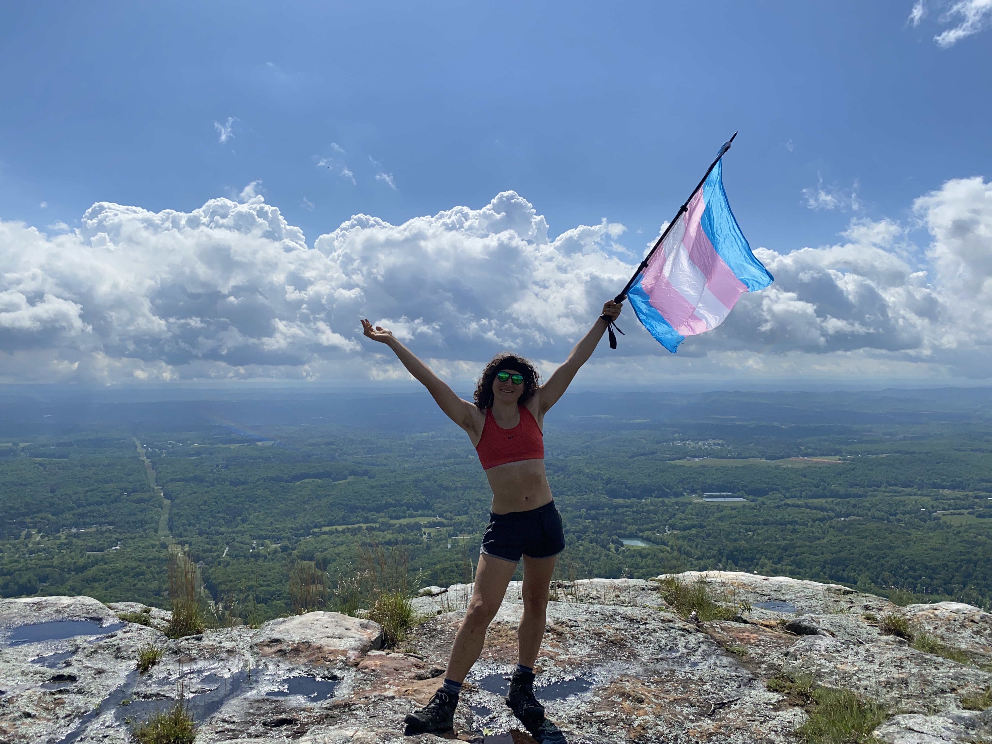
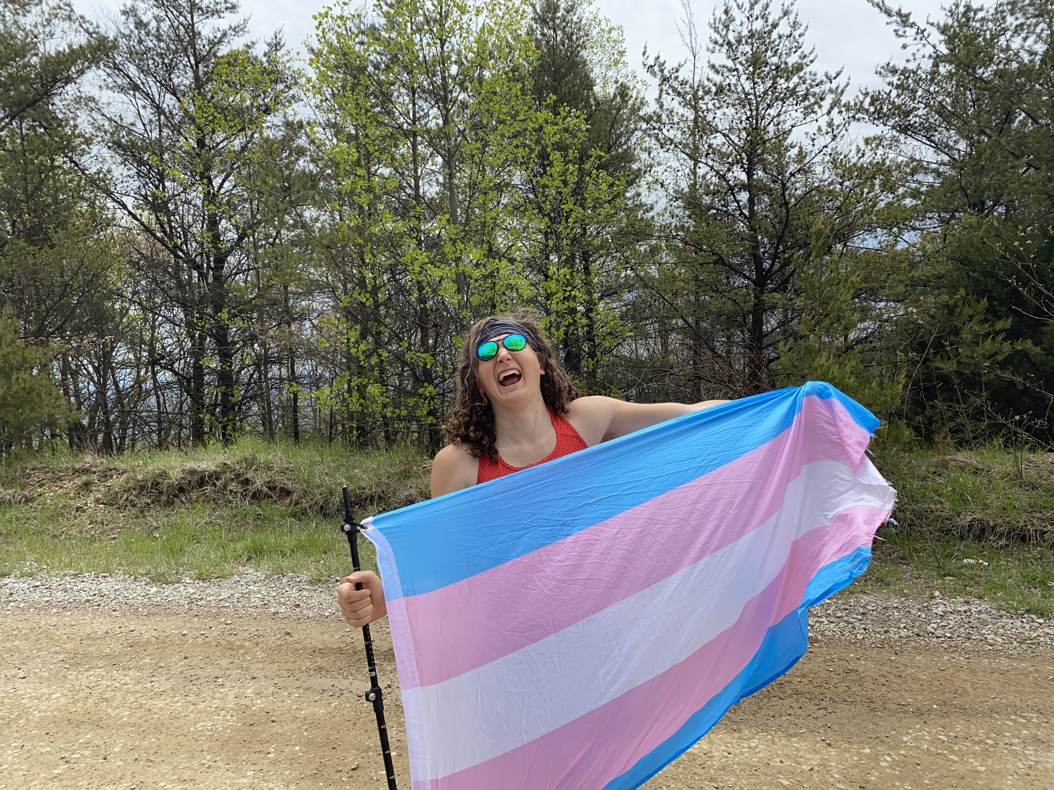
There are a fair mnumber of descriptions of Cross Mountain on peakbagger, so I won't regurgitate that except to say that Tom Layton's trip report is still accurate. I parked my van at the col at 2900ft and biked up to the summit without issue, I ended up getting my photo a little below the summit die to an issue of lots of ATVers at the summit that I wasn't comfortable taking out a full-sized trans pride flag in front of. Anyhow, got a good photo out of it!

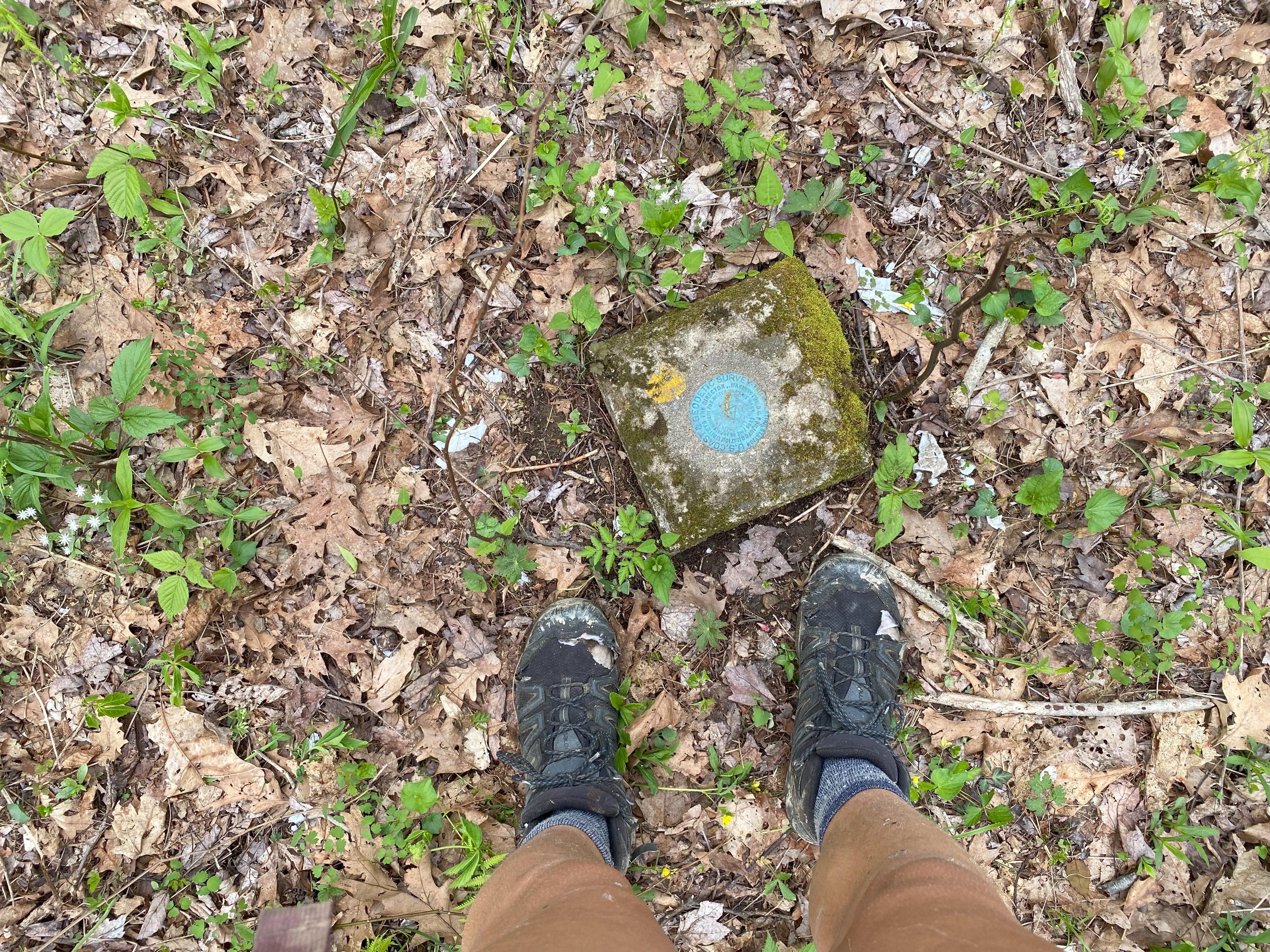
Longmont Benchmark, April 29th
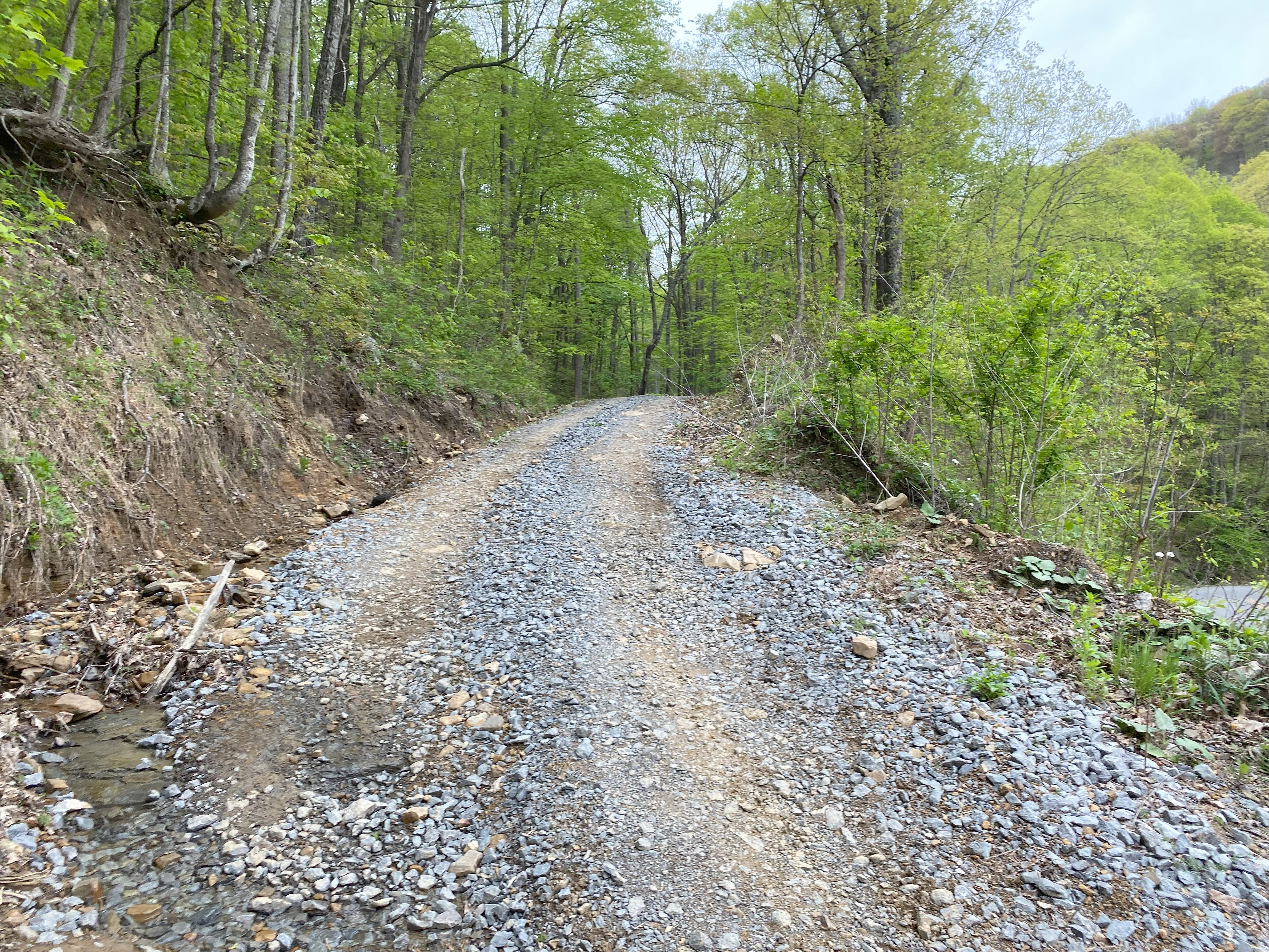
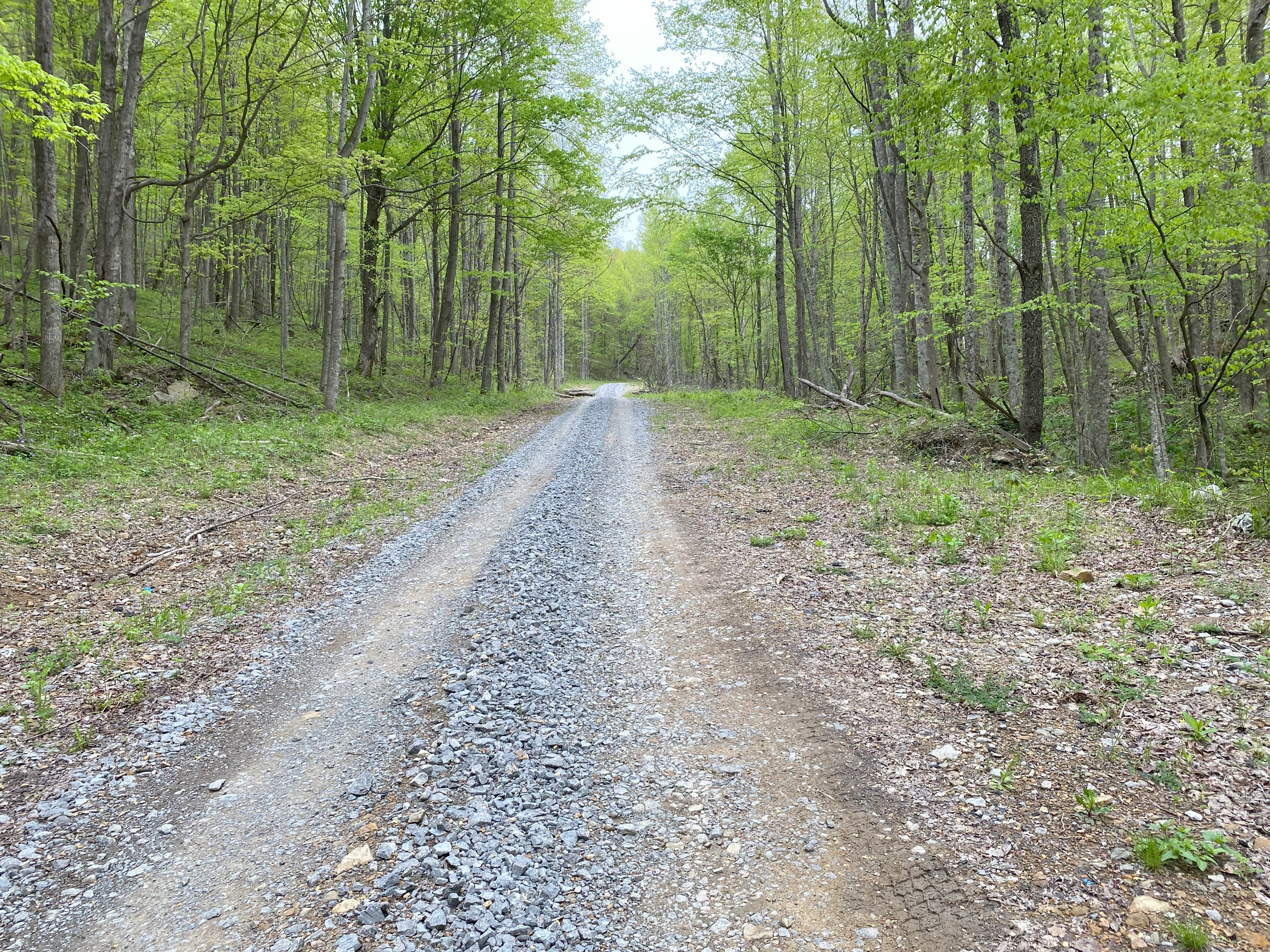
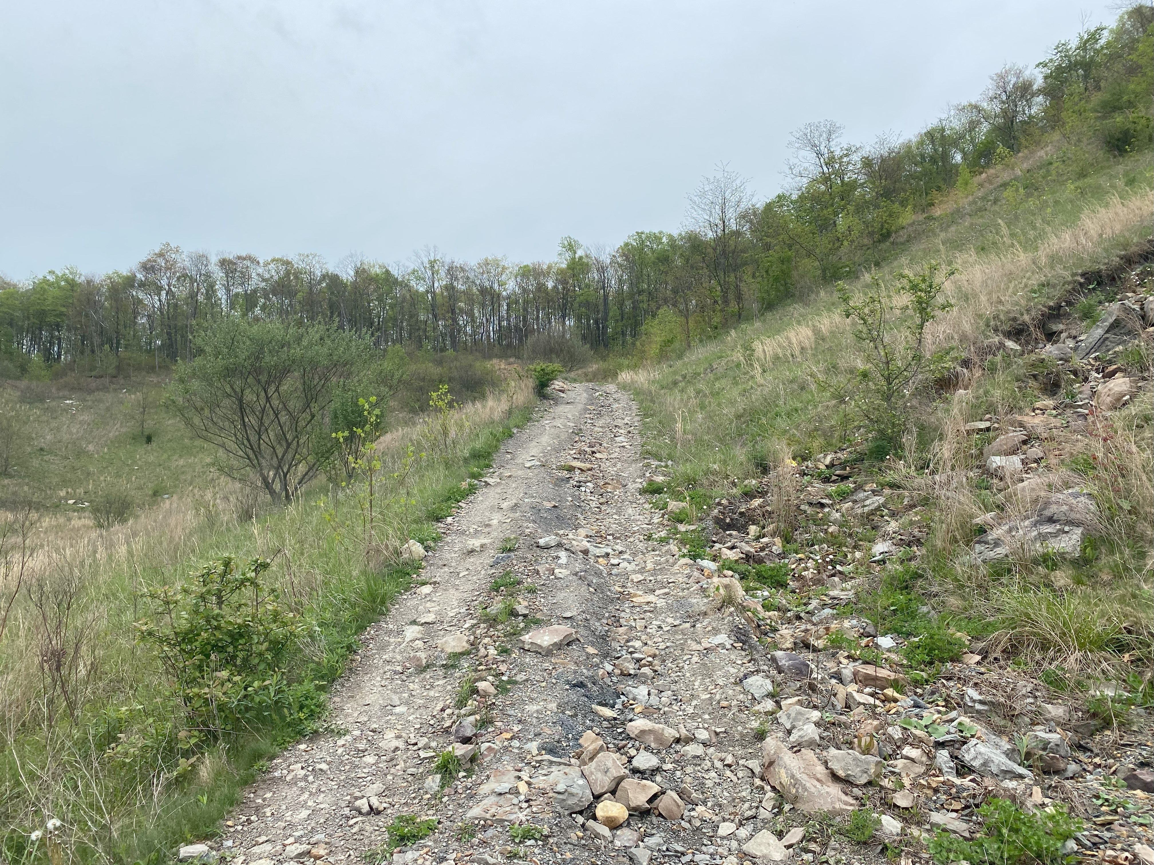
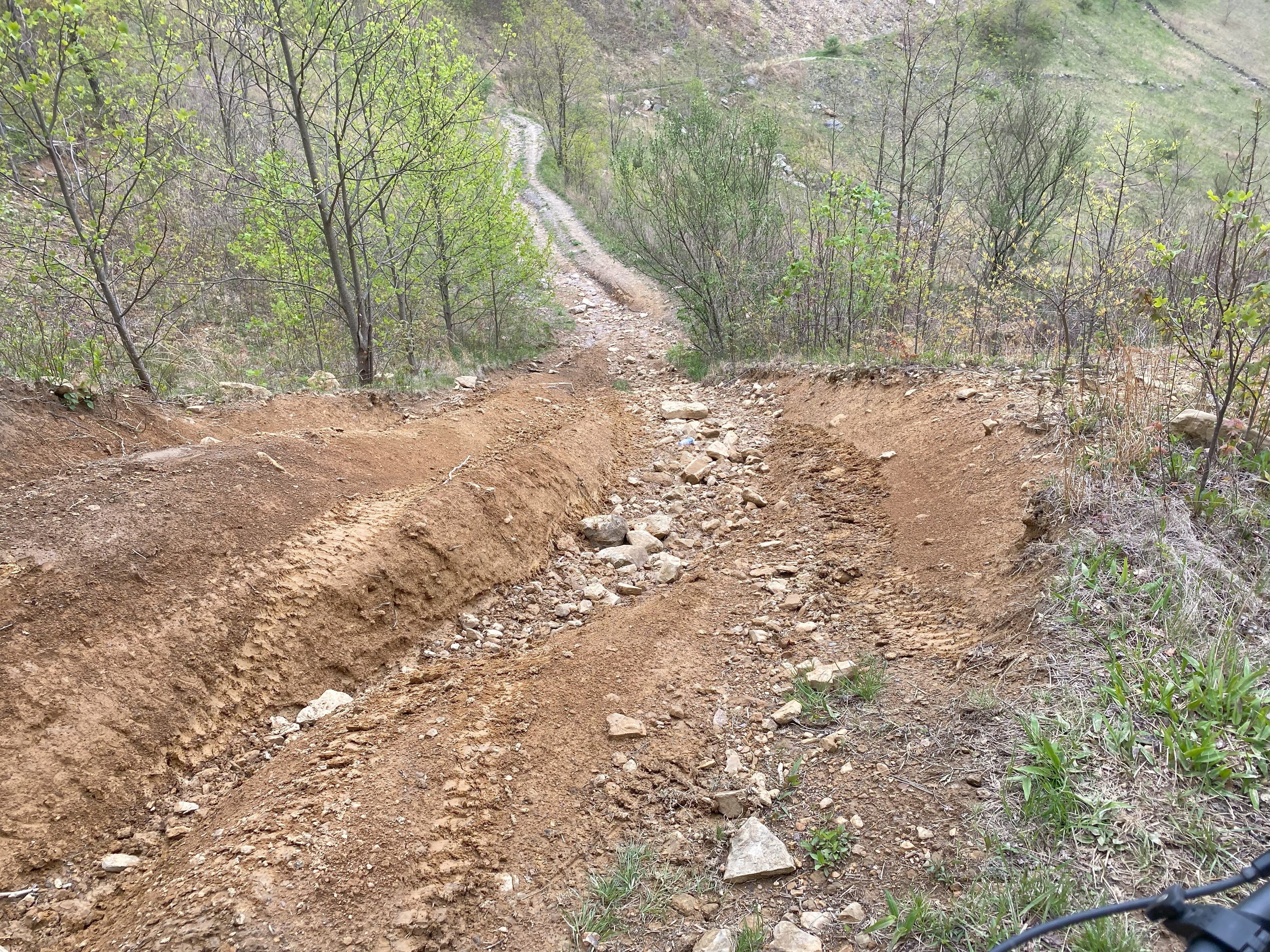
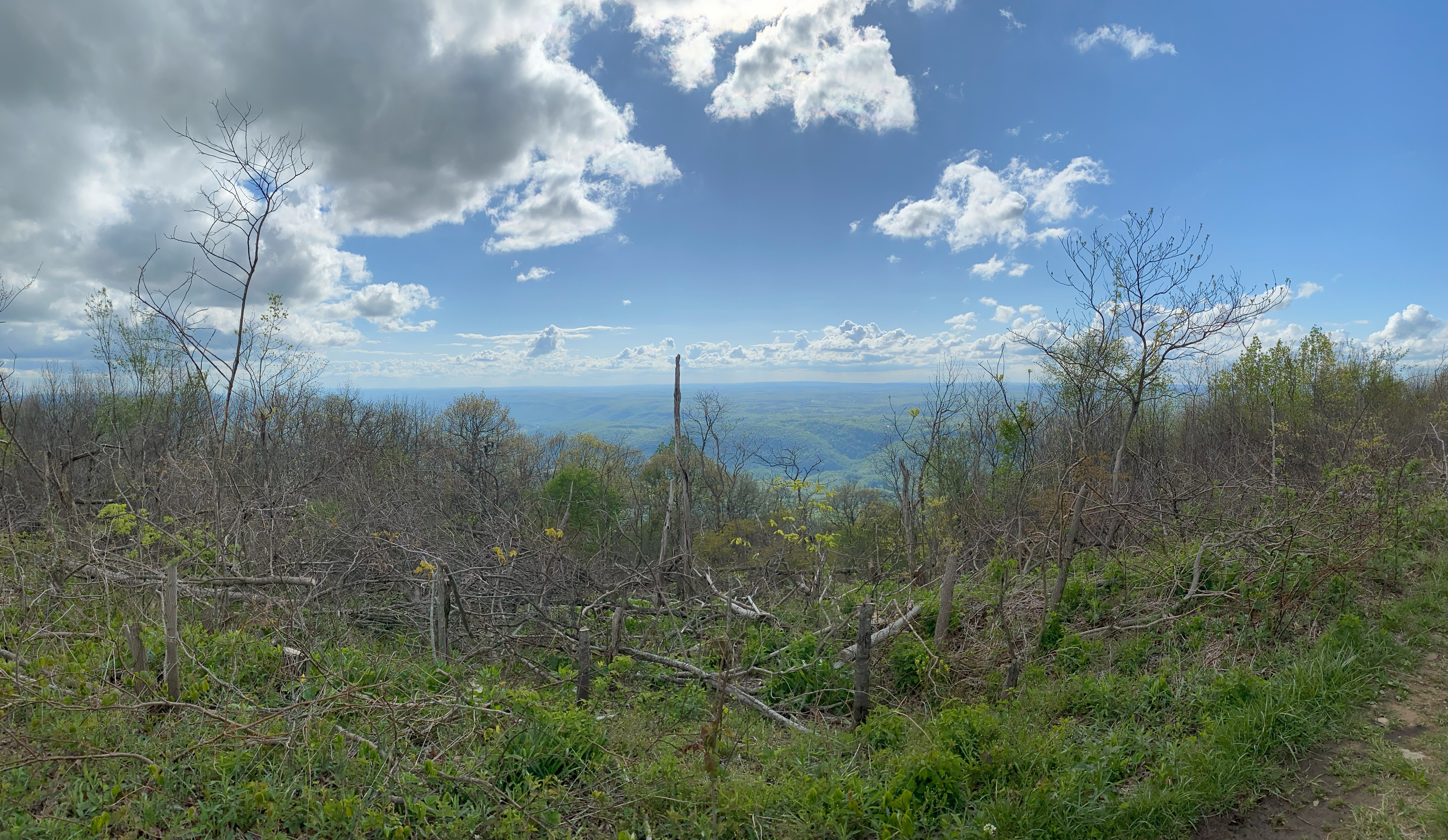
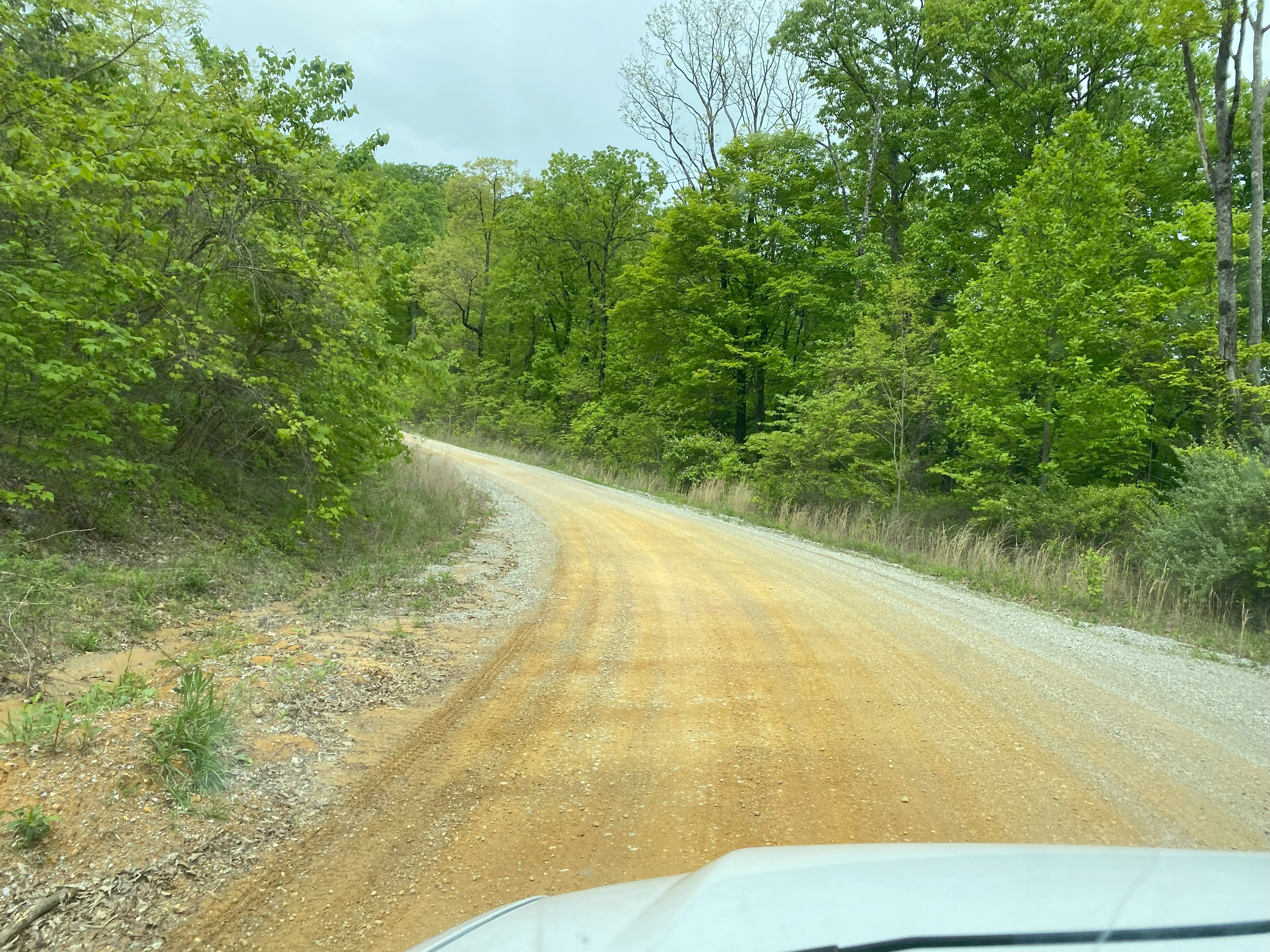
Being only the second peakbagger to do this peak, I get to be the one to write the first trip report! Fun stuff. You wanna take 74 from Middlesboro up to the hairpin turn at 2600ft. There's a pulloff just before the turn where I parked my van and took by bike up, unsure of the road quality. The dirt road is just above the turn, and while it starts out a little bit rutty, it quickly becomes a nicely-made road. You can easily take your sedan up to the clearing at 2800ft. At the clearing you can easily park, and you'll have to because the road rapidly deteriorates as you go north - my advise would be avoid unless you're in an ATV or OHV, although I did see a guy in a Jeep pass me on the way up, and considering there was really no where else to go, I assume he took that road up. Still, he would have been ambitious, as the road becomes very narrow, overgrown, rutty, and rocky. Anyhow, at the col you reach an ATV road from Kentucky Ridge State Forest, which owns the northern side of the mountain. I took this road to the east and found a junction after about 0.1mi. I decided to follow the path to the right, which led along the ridge to within spitting-distance of the summit. If you choose to bushwhack any portion of this, you won't have a problem, as the woods are pretty open around here. Accidentally stubbed my toe on the summit marker, and got some good photos up there! If anyone is looking for a challenge, I would be interested in seeing if anyone can approach the summit form the north along the ATV roads leading out of Chenoa, but that would be a significantly longer day. If you do that tho, be sure to message me, because I would be curious to see what it's like!