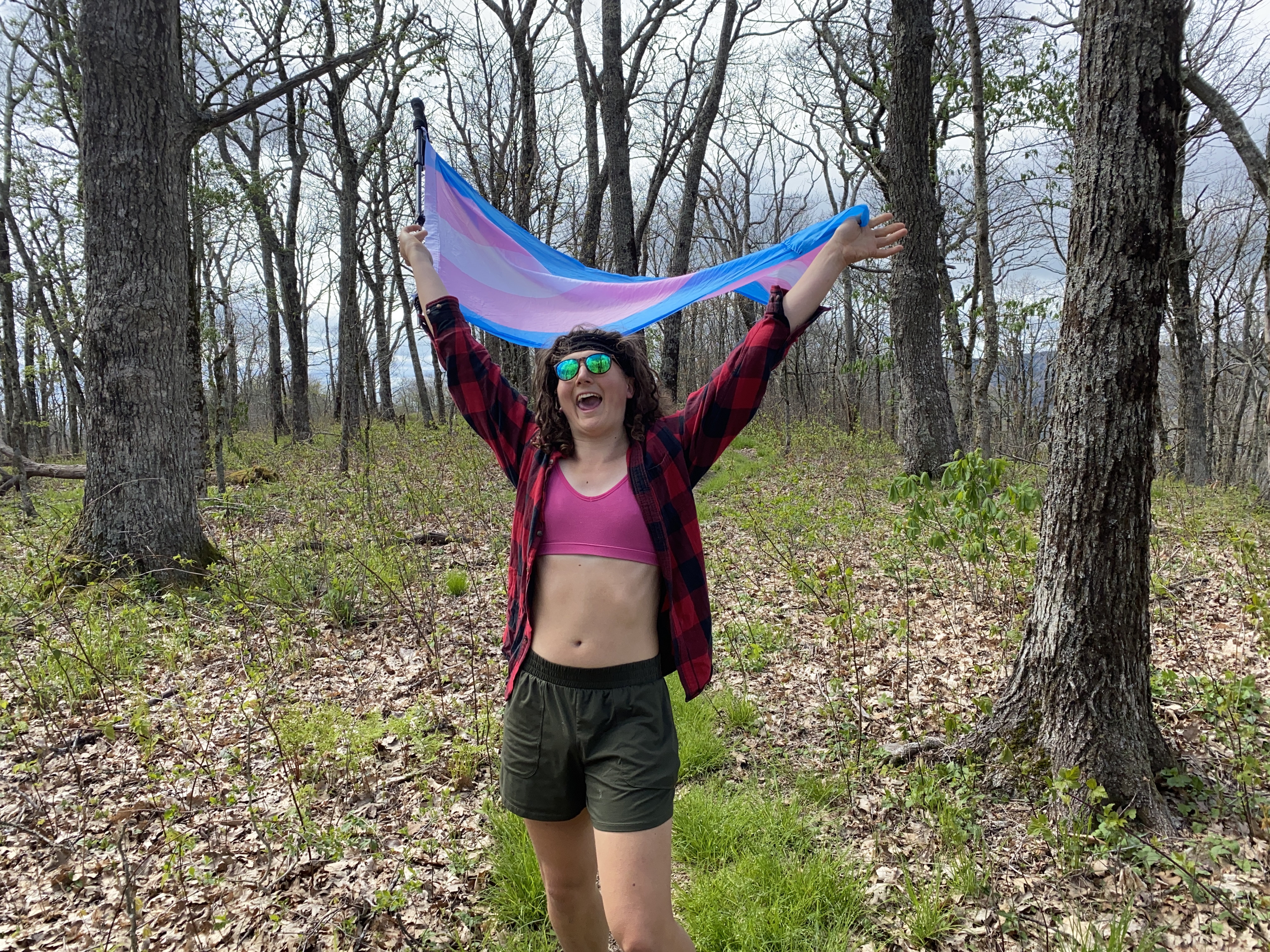
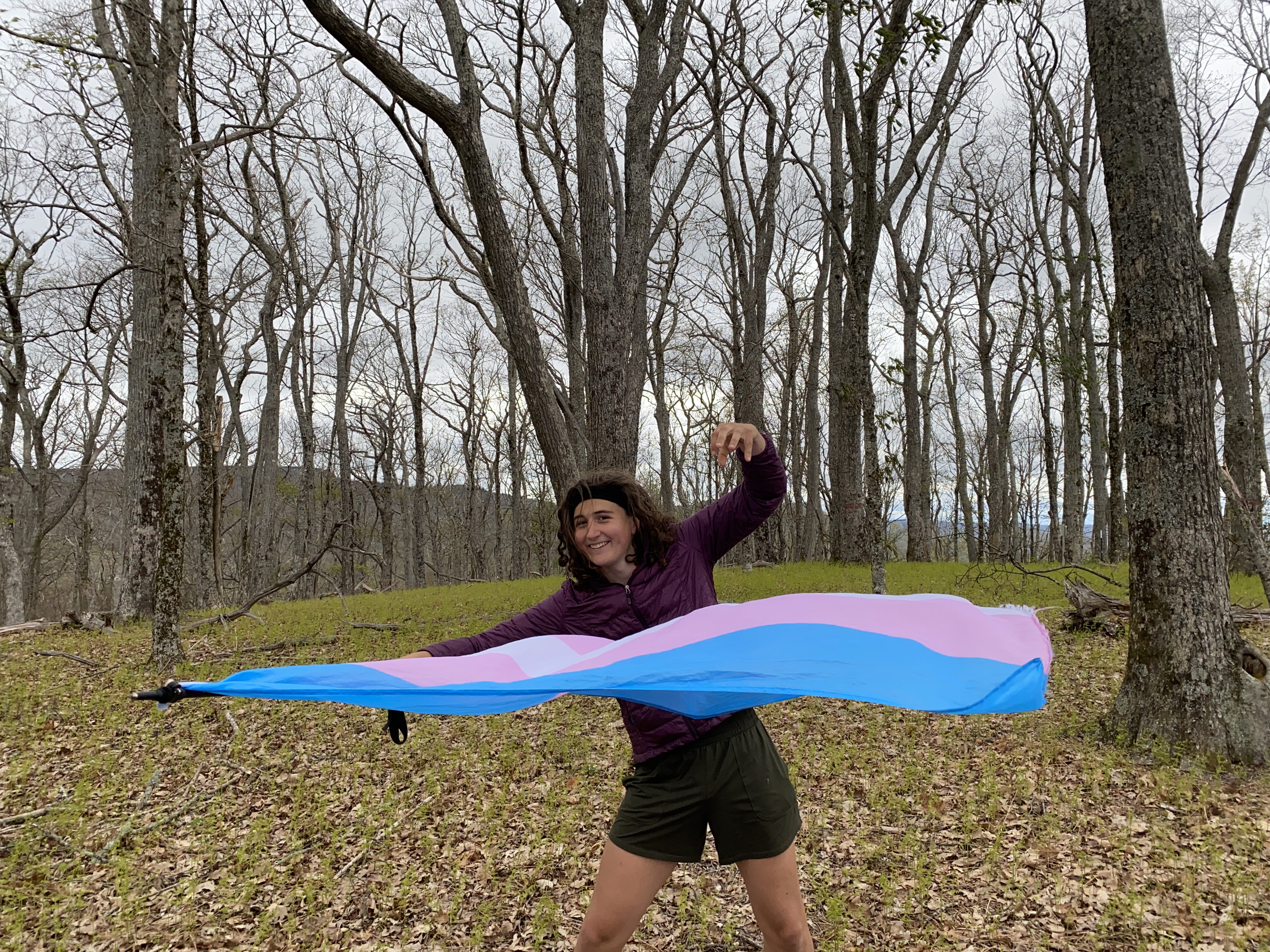
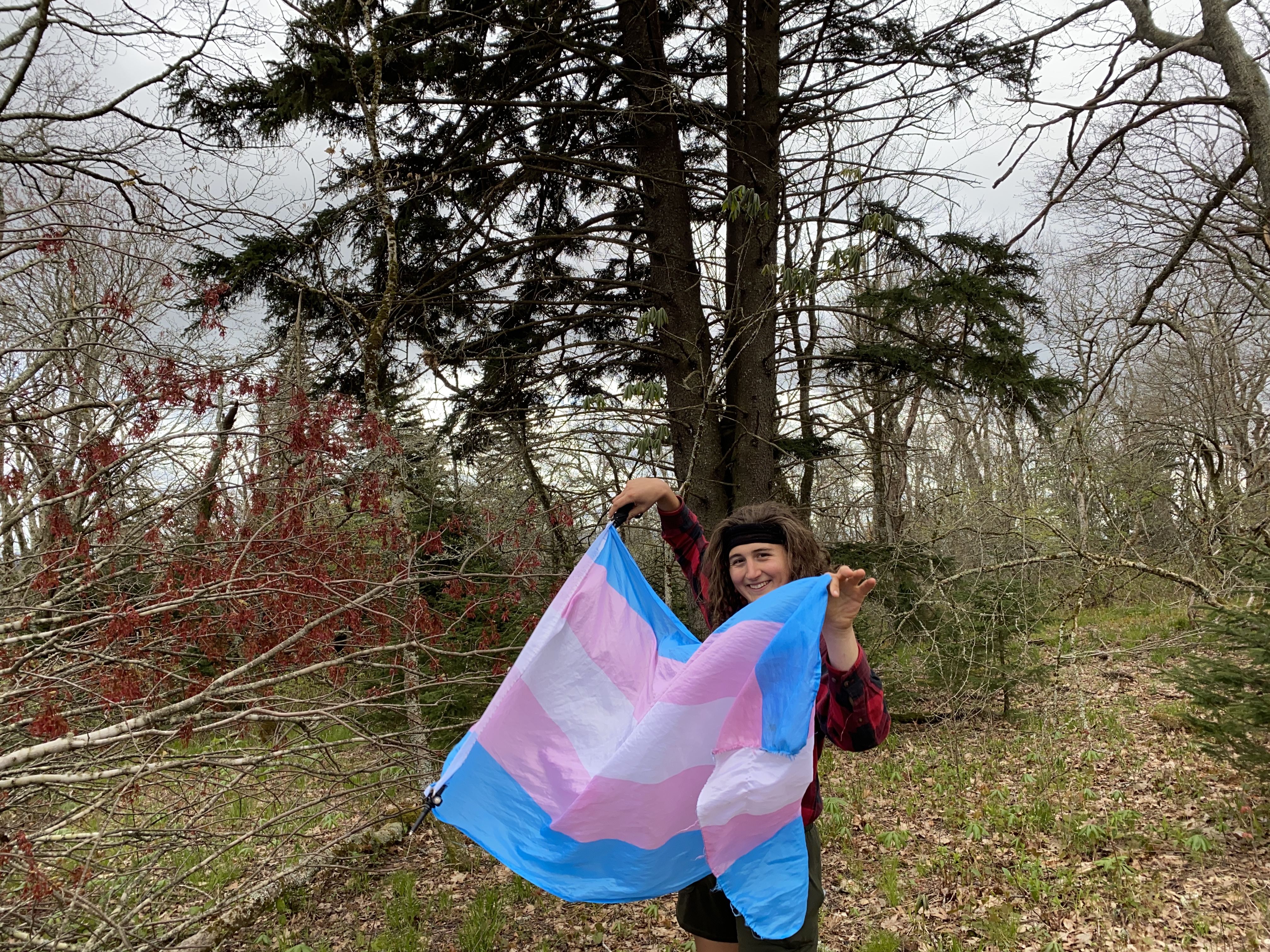
Big A, East River, Balsam Beartown, and Morris Knob: May 2nd-4th 2023
Big A Mountain, May 2nd
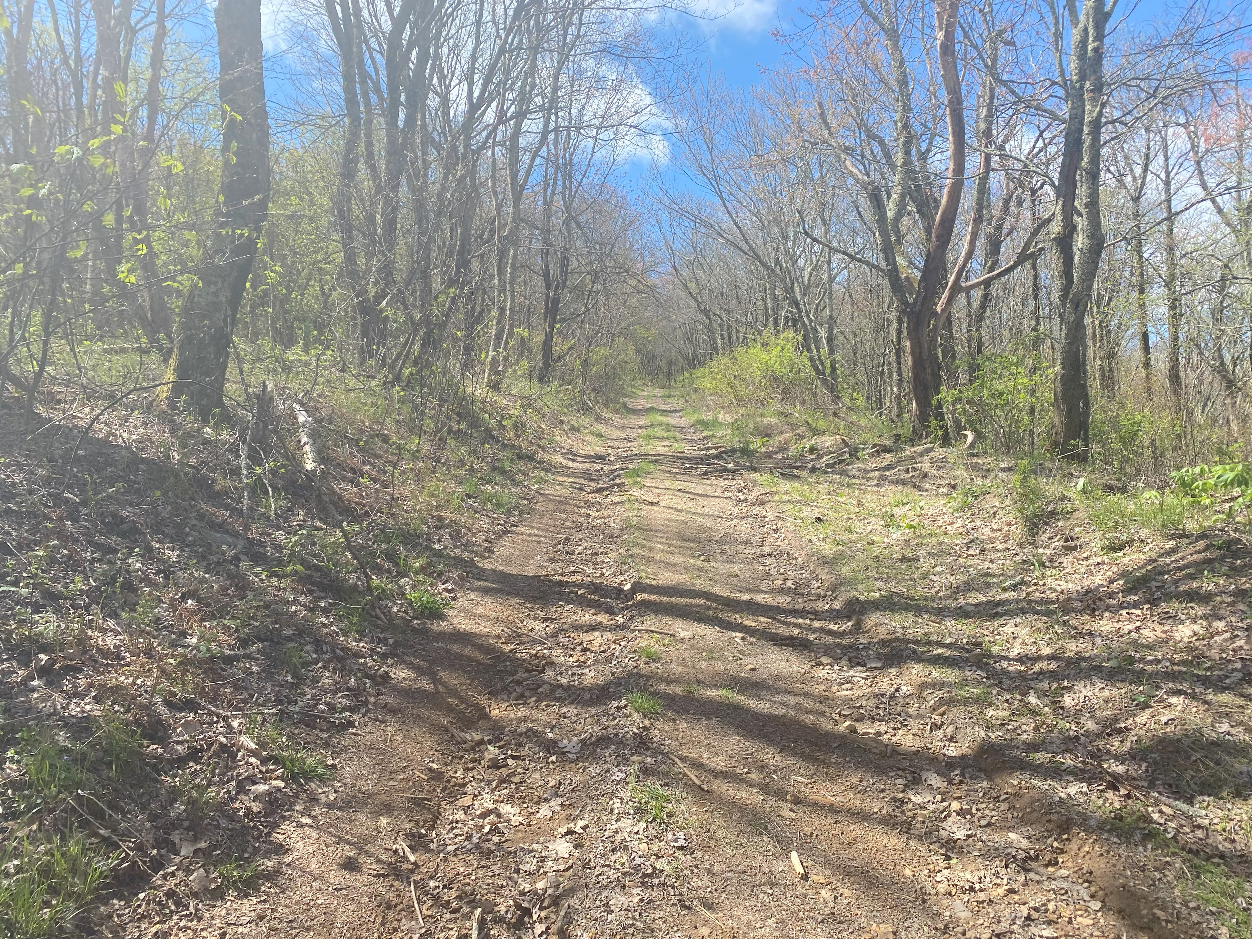
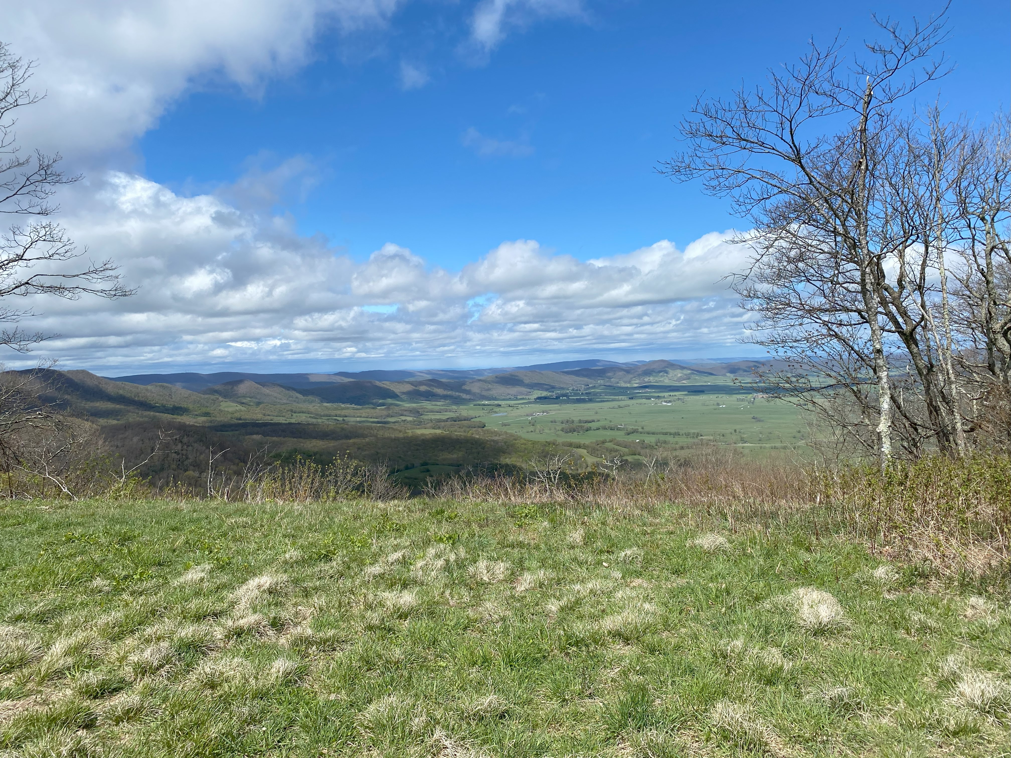
For Big A, I followed Steven Fishback's trip report, and I can confirm that the best way to approach Big A is from the north via the Fire Tower Road. That being said, I found the route to be pretty drivable all the way to the yellow gate at around 3000ft, which although it was open I didn't drive through as it was a weekday and I didn't want to disturb any workers who might have left it open (I would recommend high-clearance though for comfort). Anyhow, the walk up to the summit was nice and uneventful, with some nice views to the south/southeast
East River Mountain, May 2nd
After hiking Big A I made my way over to the East River trailhead, located at the end of 735. I was told online that this trail was permanently closed, and so I proceeded cautiously and found a "trail permanently closed" sign at the junction with 735 as it becomes a dirt road. However, the sign had an ATV crossed out on it, and that combined with the fact that I knew there were other ATV trails made me wonder if it was closed to ATVs, so I cautiously drove forward and found a trailhead a little bit farther forward with no signage. Hiking up the main trail to the north is hiking up a boggy ATV path until around 3600ft or so, where it goes off to the right and becomes much more of a hiking trail. The summit itself is actually a bit of a bald with some nice views. I spent the night at the trailhead in my van and until about 14:00 the next afternoon, and no one came to tell me to leave, so I think this trail is closed to ATVs, but not necessarily hikers, so take from that what you will. Also, the area right before 735 is cow pastures, so be prepared to drive very slowly to get in/out!
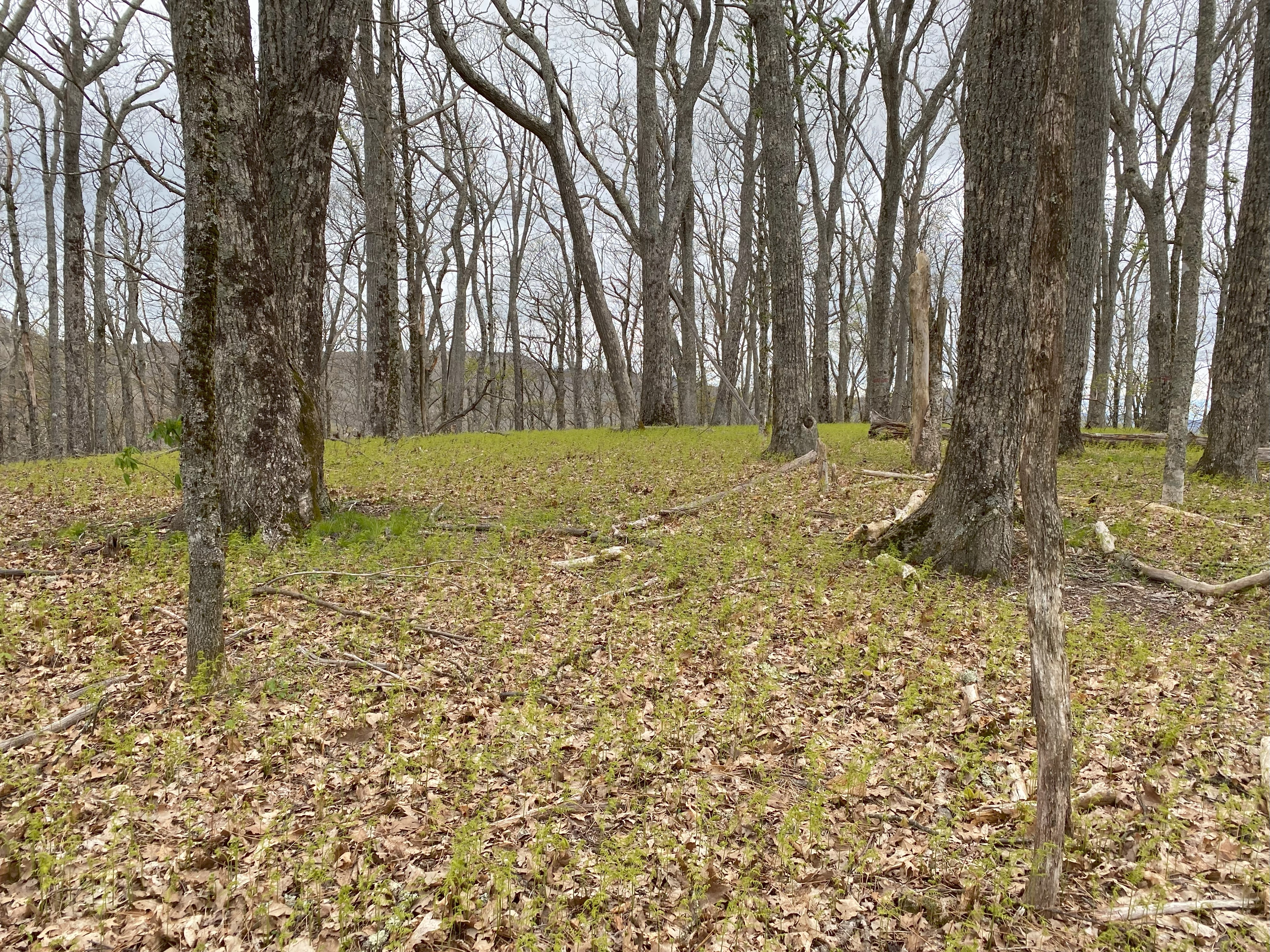
Balsam Beartown Mountain, May 3rd
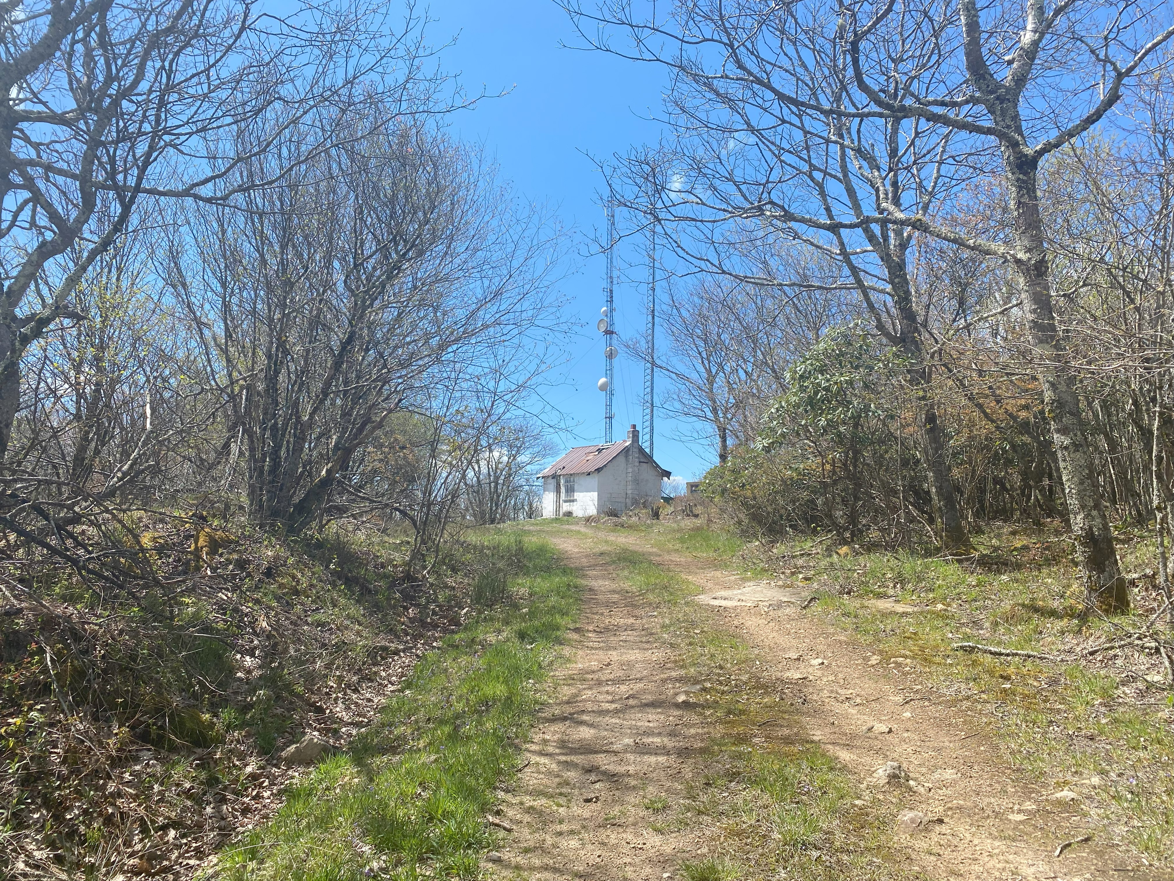
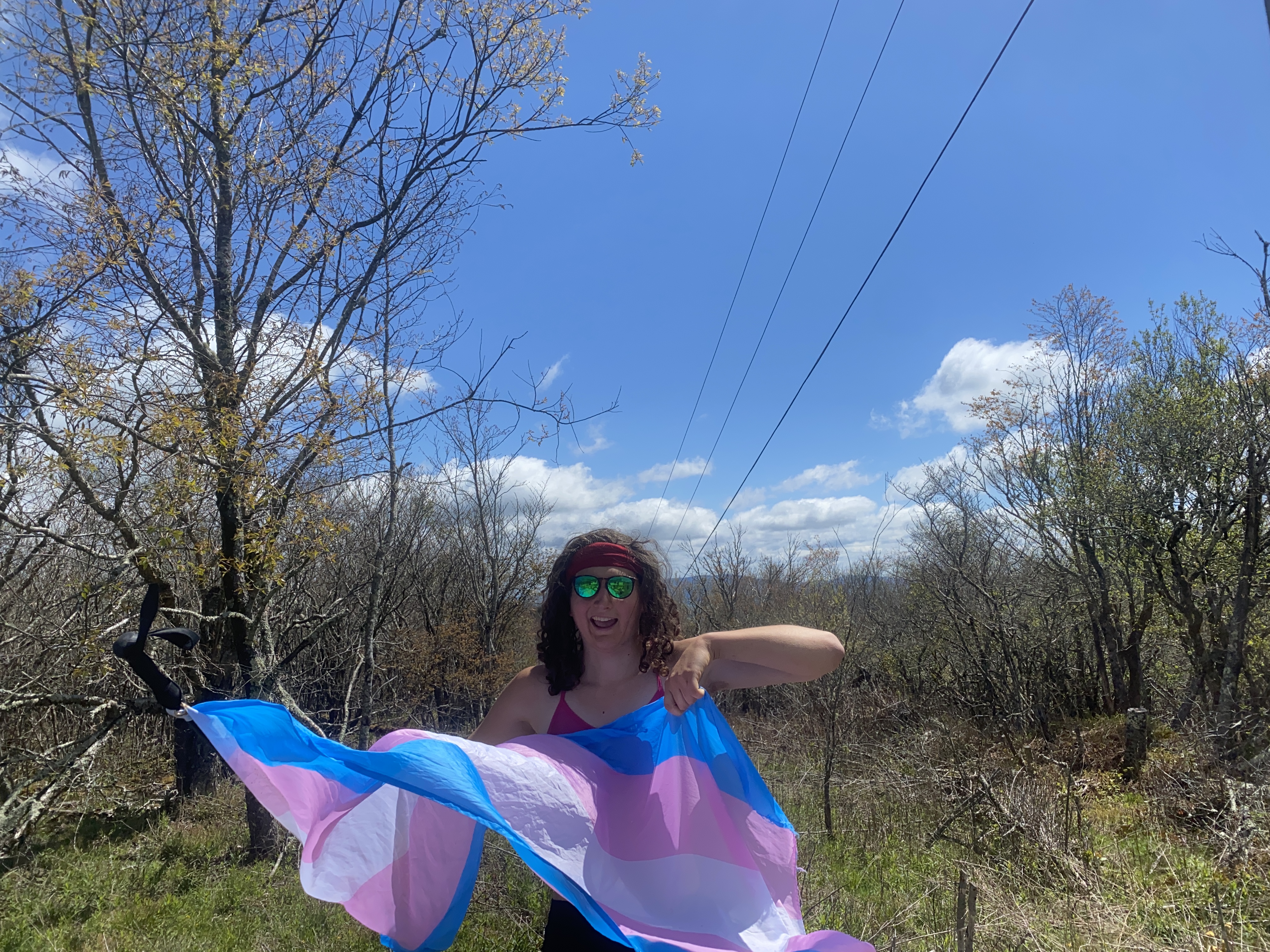
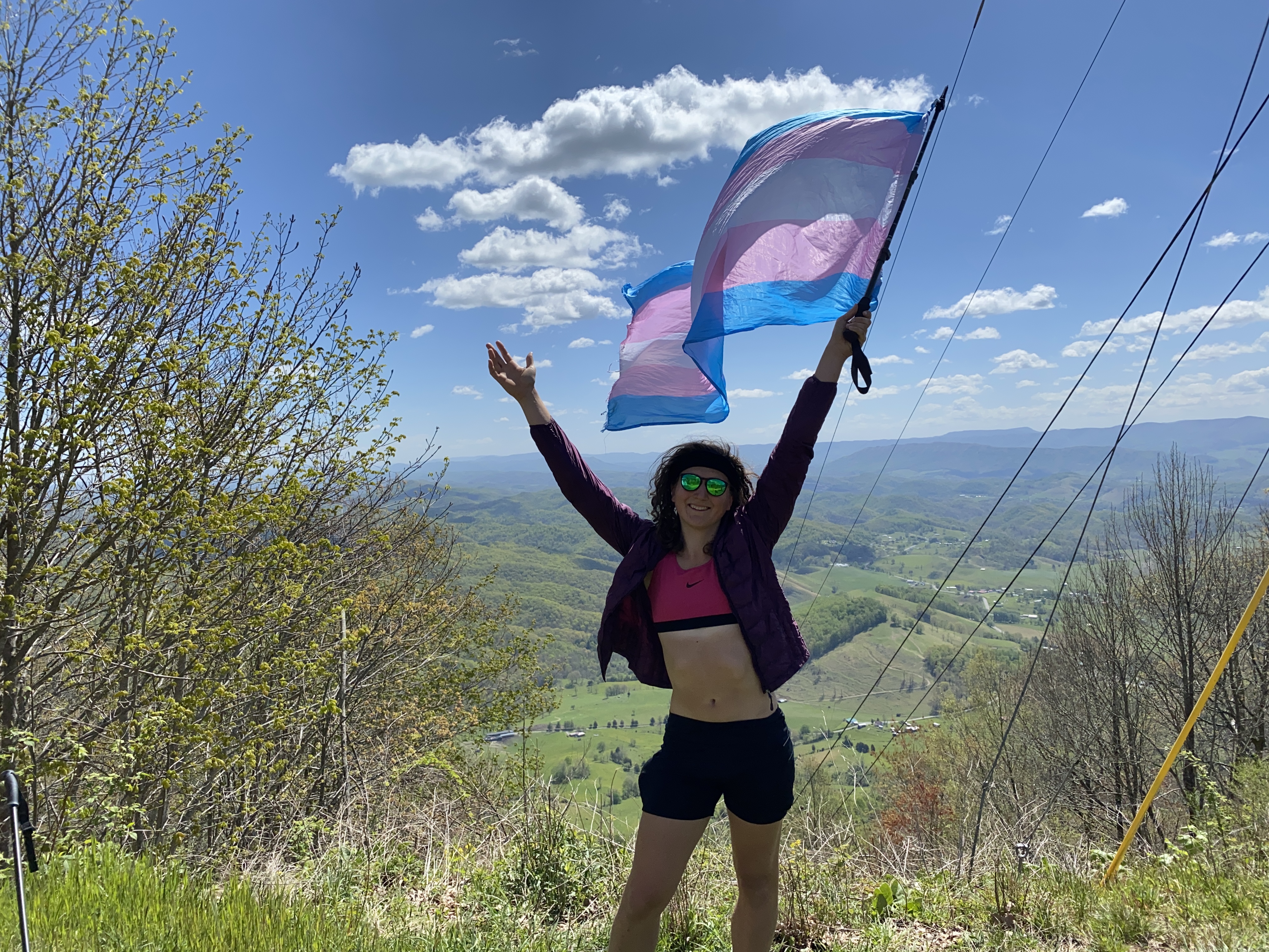
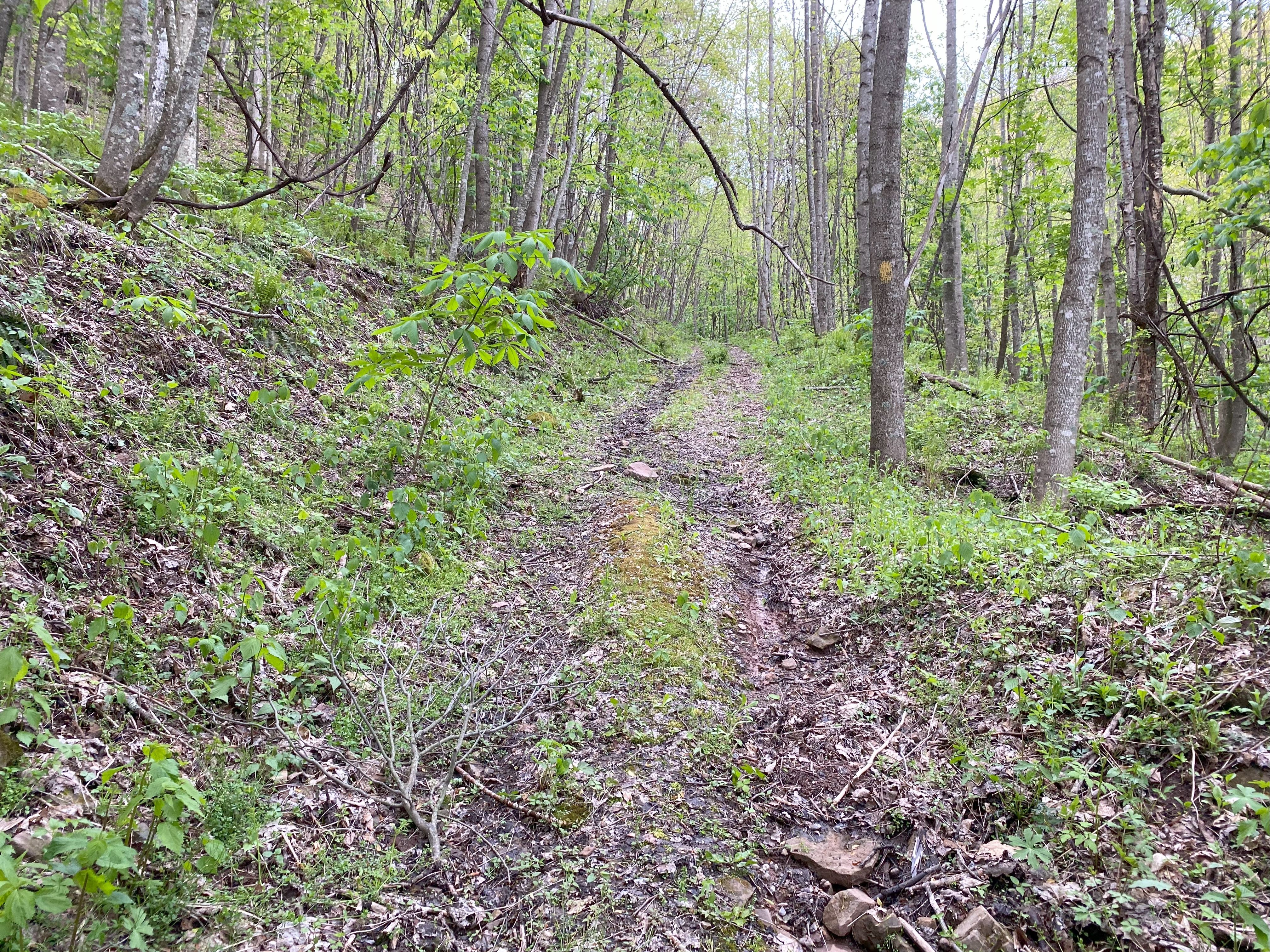
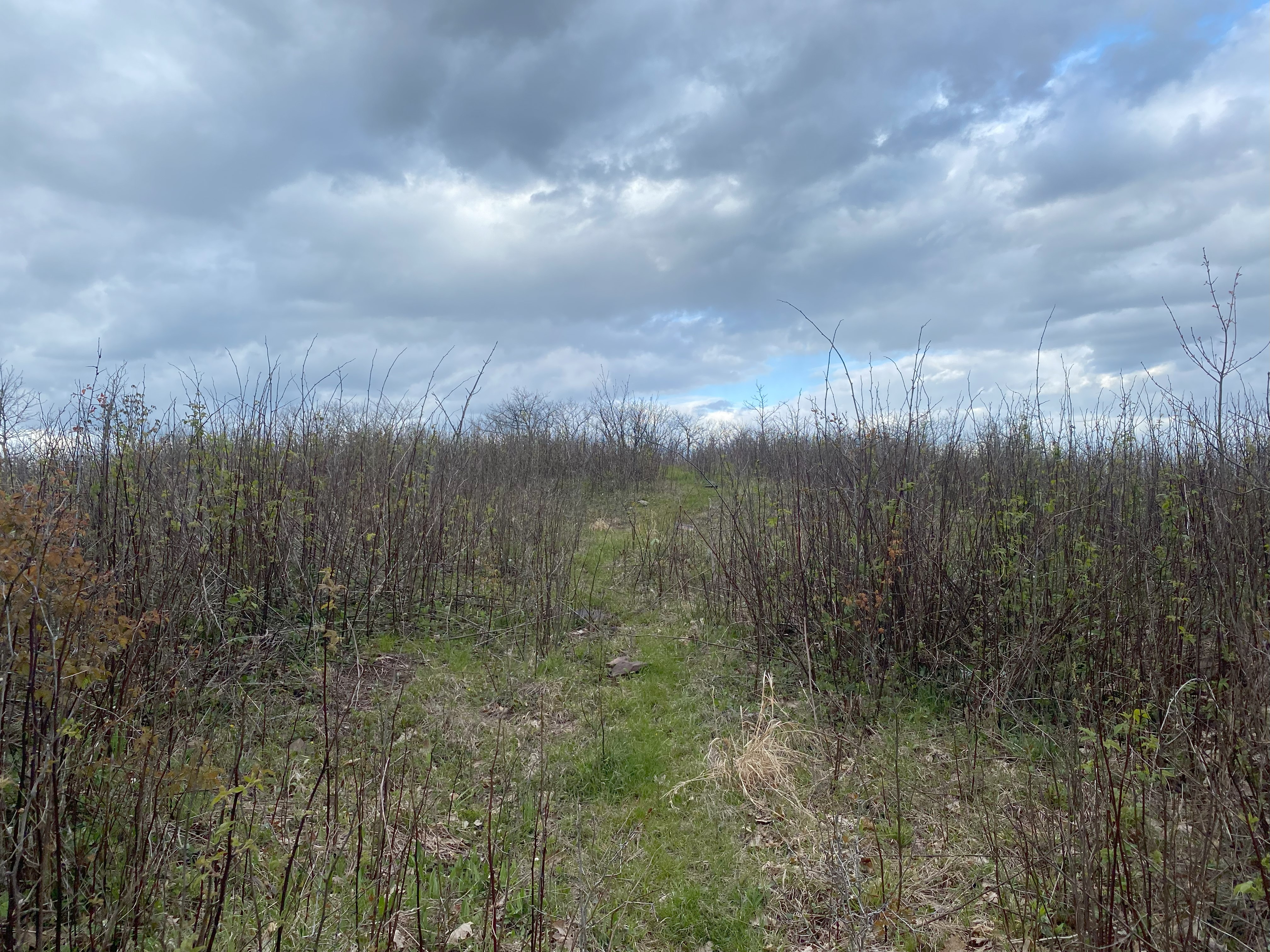
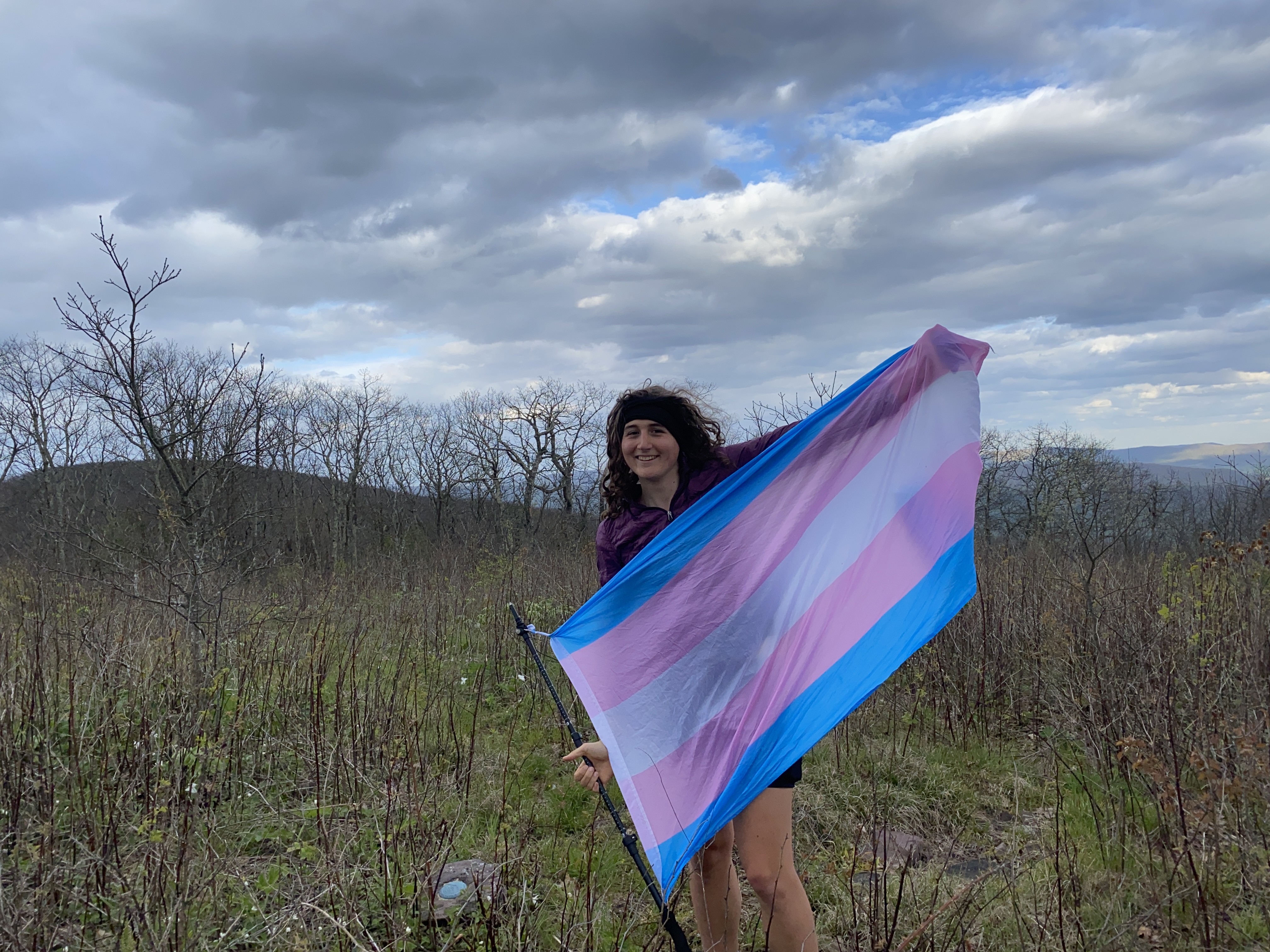
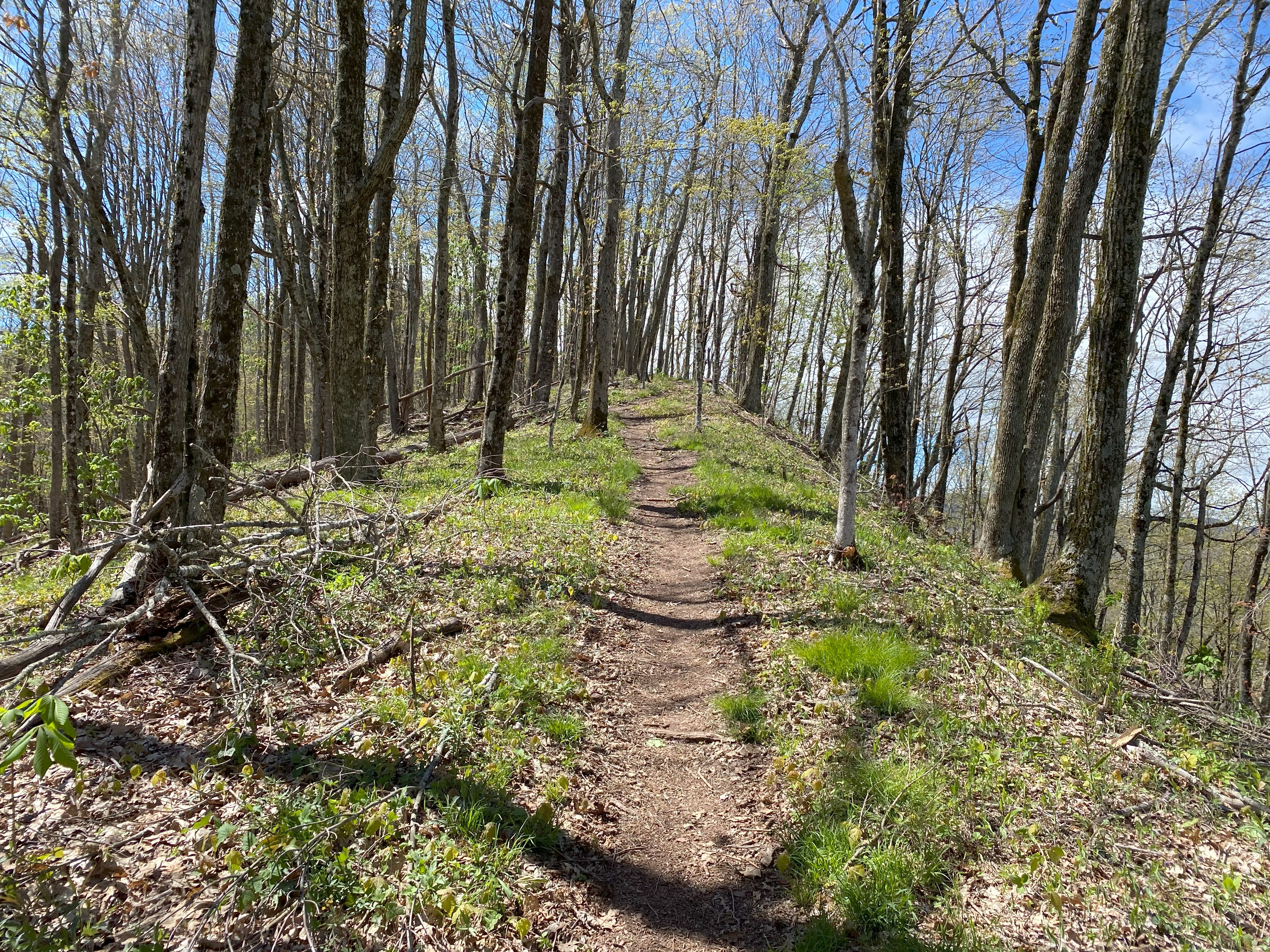
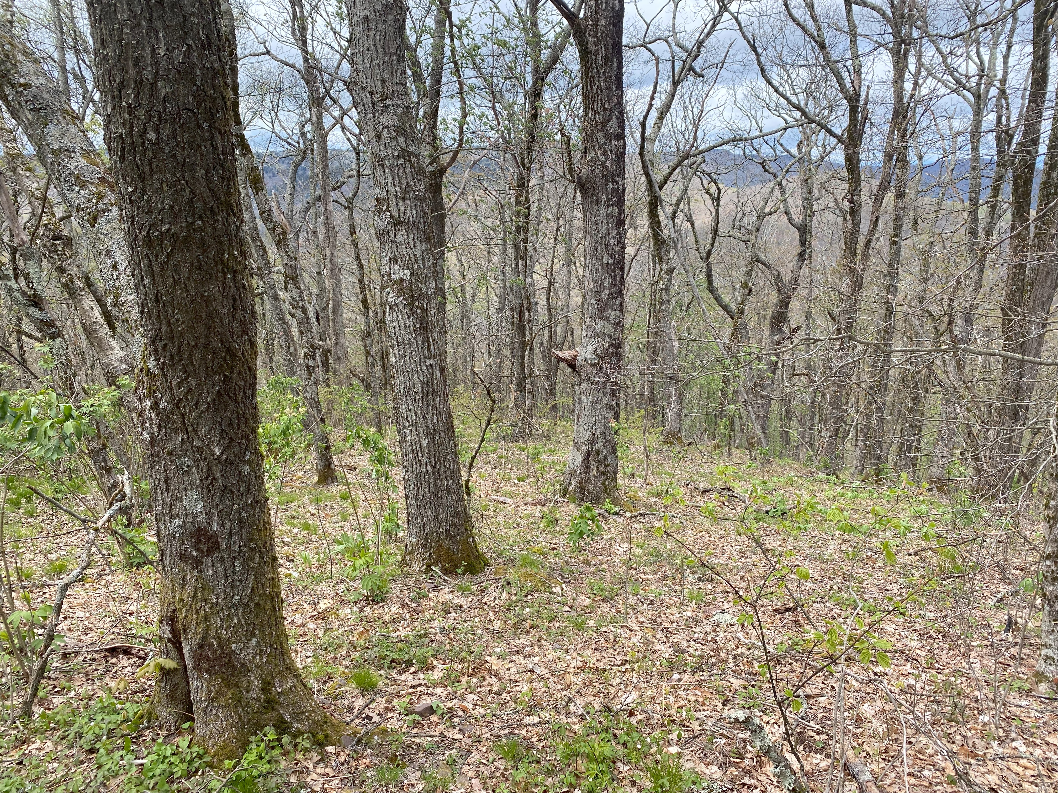
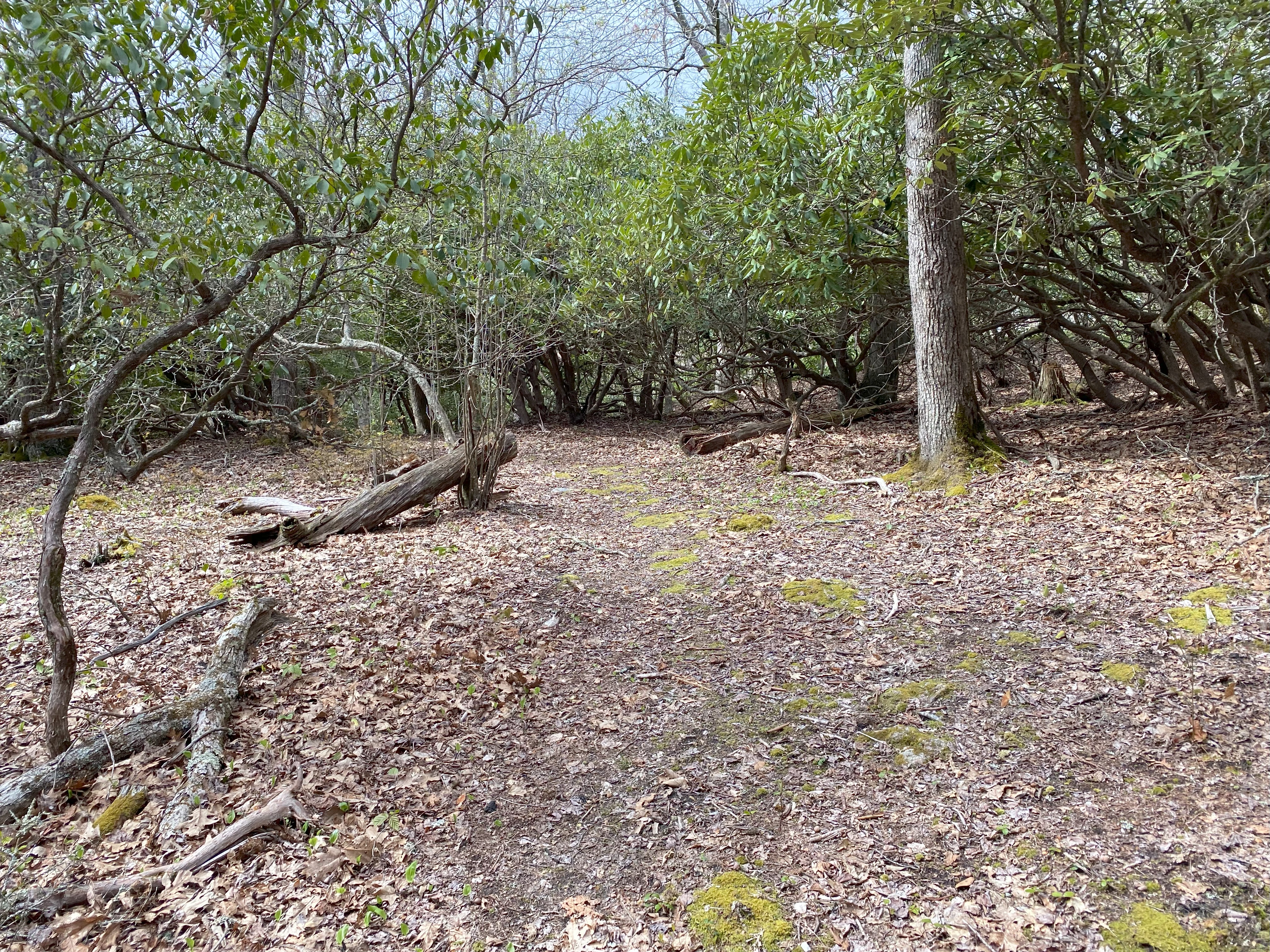
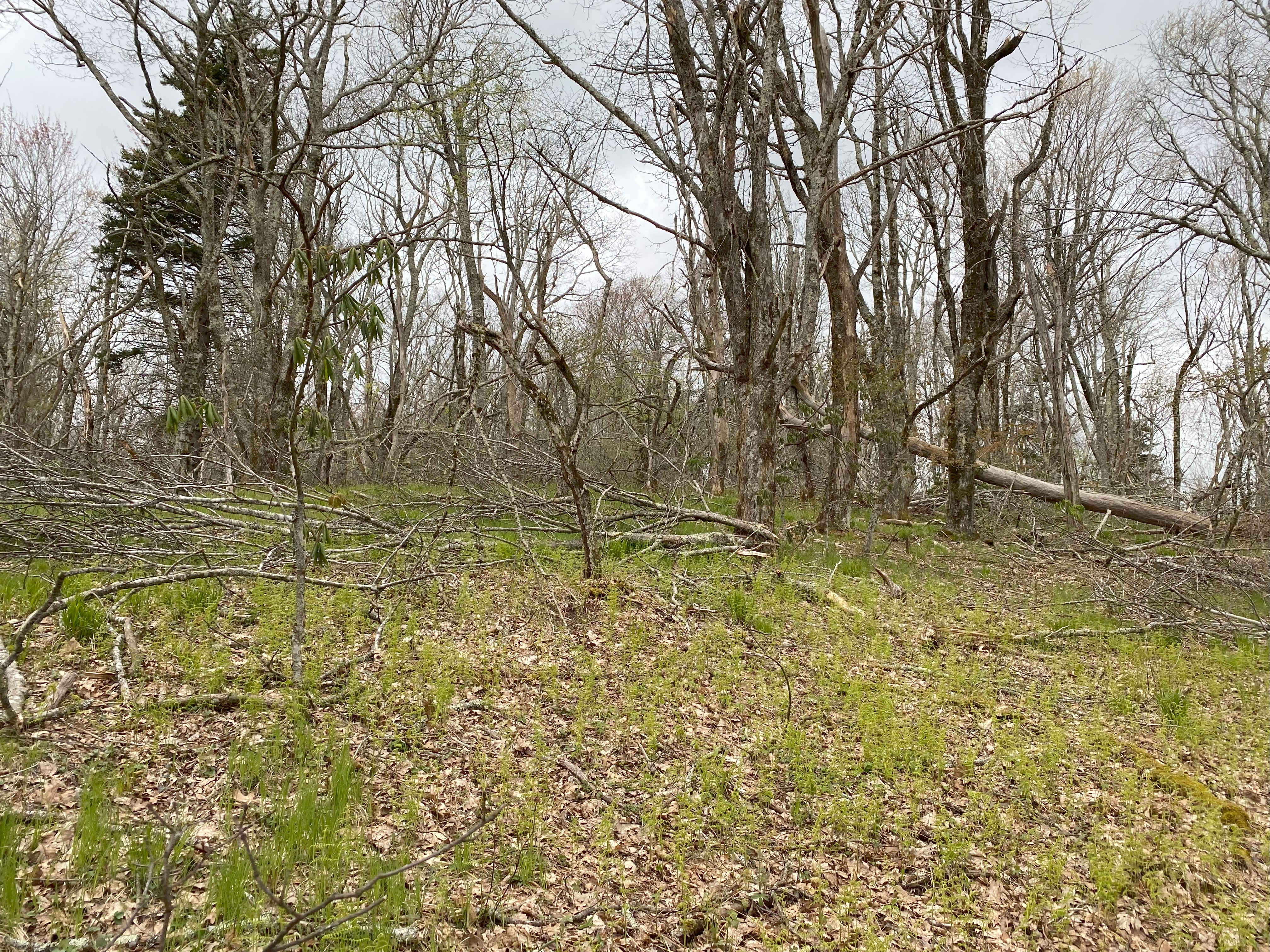
It snowed this morning, which was crazy because it's MAY in VIRGINIA - that's why I lingered so long at the east river trialhead tbh. Anyhow, after that madness was done and over with, I pushed forward and went up to the AT trailhead for Chestnut Knob on 727. Do be aware the final stretch of the road isn't maintained and does require high clearance. Anyhow, the AT up to Chestnut was delightful, and the views on top were great. I decided to take the standard route along the ridge of hugging the wilderness boundary. I quickly found myself spat out on an old ATV path which took me by a house at the col, which I have left unpictured for obvious reasons. From there I followed the path up the ridge and eventually it disappeared so I made the nice bushwhack over to the summit of South Balsam Beartown, and found a sparse forest up top. South Balsam over to the main peak was not fun, as the way is quite steep, but I eventually made it up the ridge and traversed deadfall all the way over to the main summit. Going back was pretty straightforward, with me ending up taking an ATV path around Chestnut all the way back to the AT, which I won't document here because it's definitely someone's driveway

Morris Knob, May 4th
Following the direction of previous trip reports, I parked at the chapel on the highway and walked over to the last house along the road and asked for permission to walk up. The delightful elderly couple readily granted that. The road walk up was long but uneventful, with the summit area containing no views. Whatever. Was gonna do Beartown Mountain after this but was simply too lazy for that hard of a bushwhack at that time