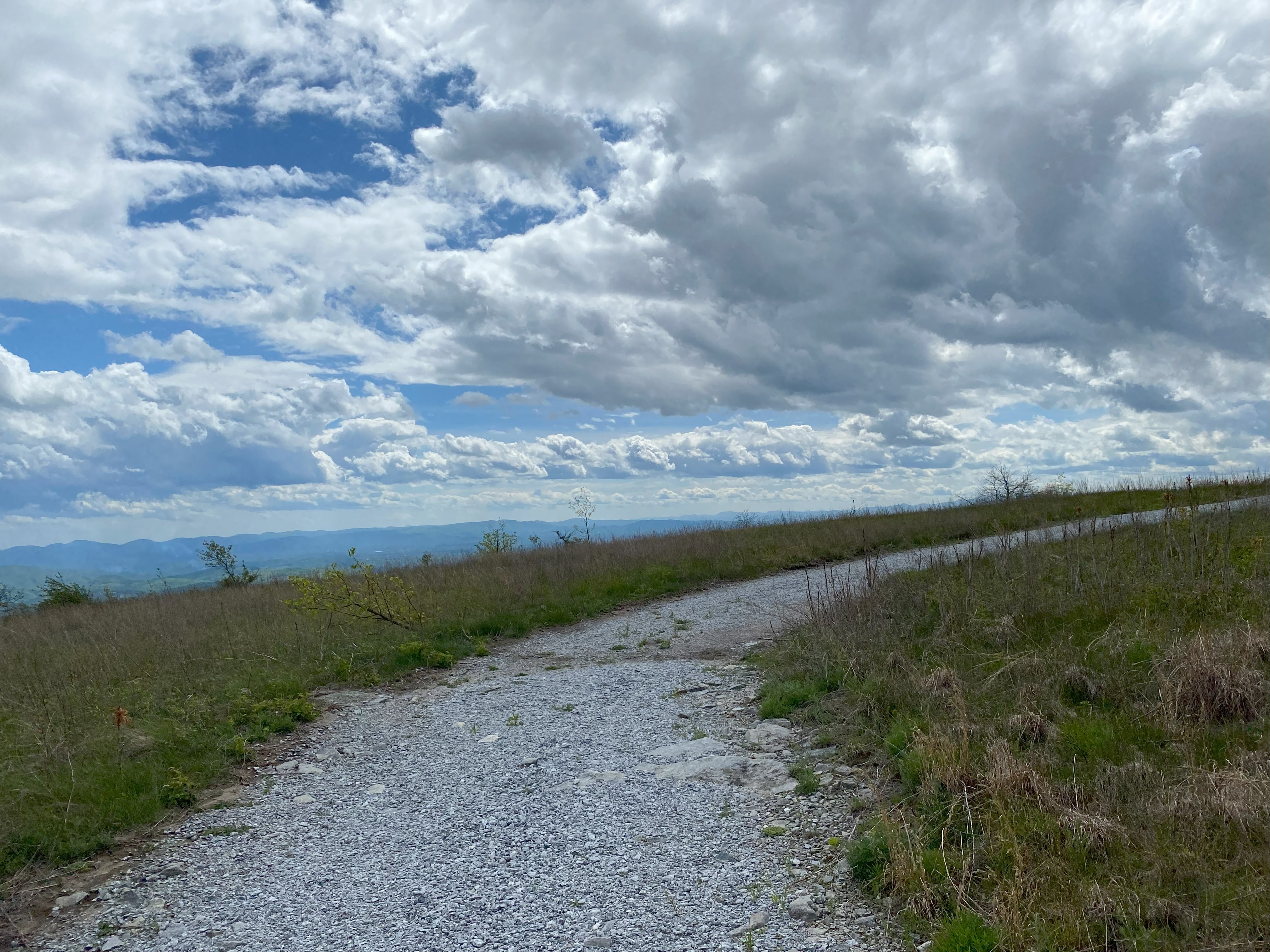
Icy Knob, High Windy, Little Pisgah, and Sugarloaf: May 7th-8th 2023
Icy Knob, May 6th
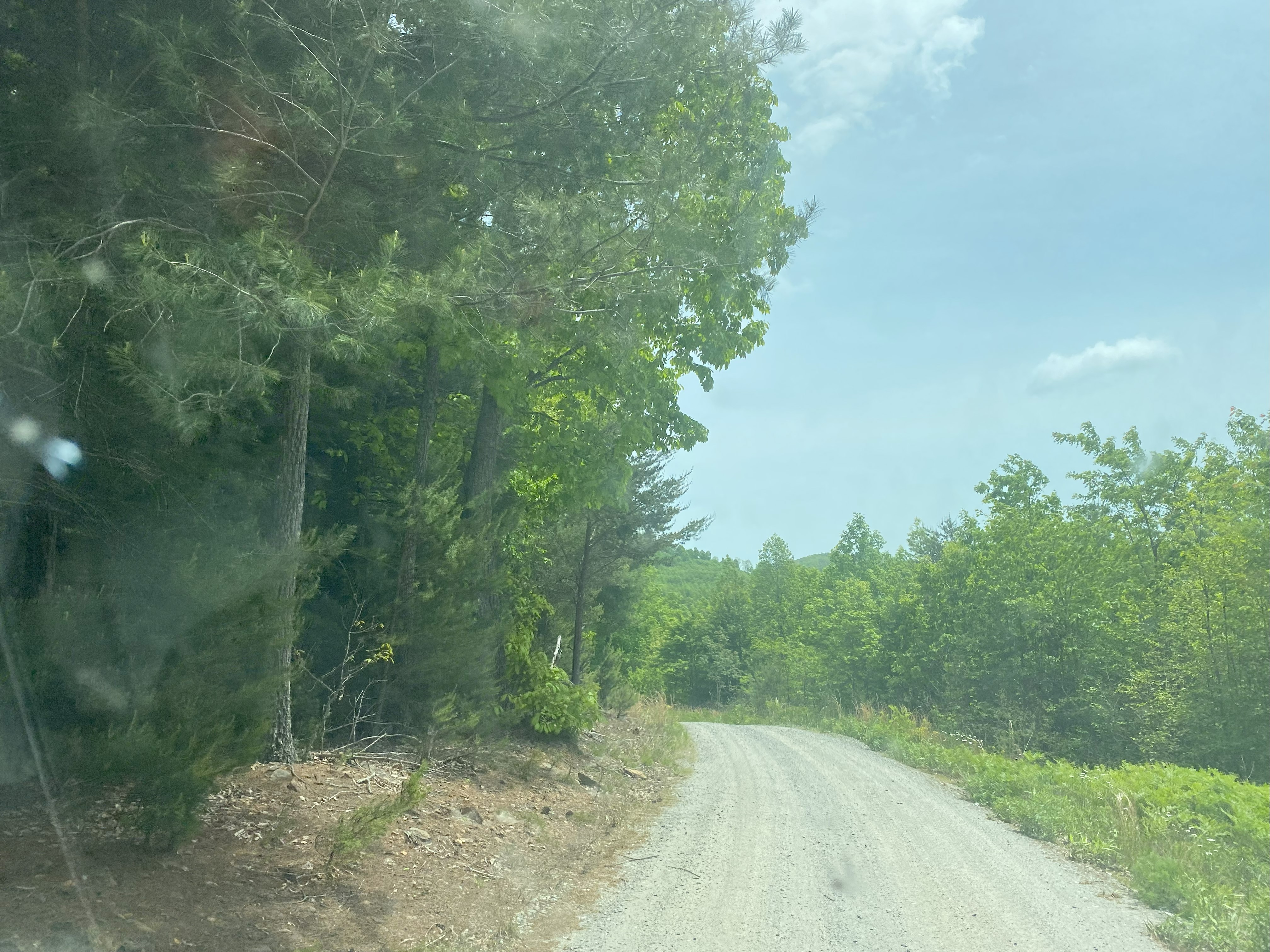
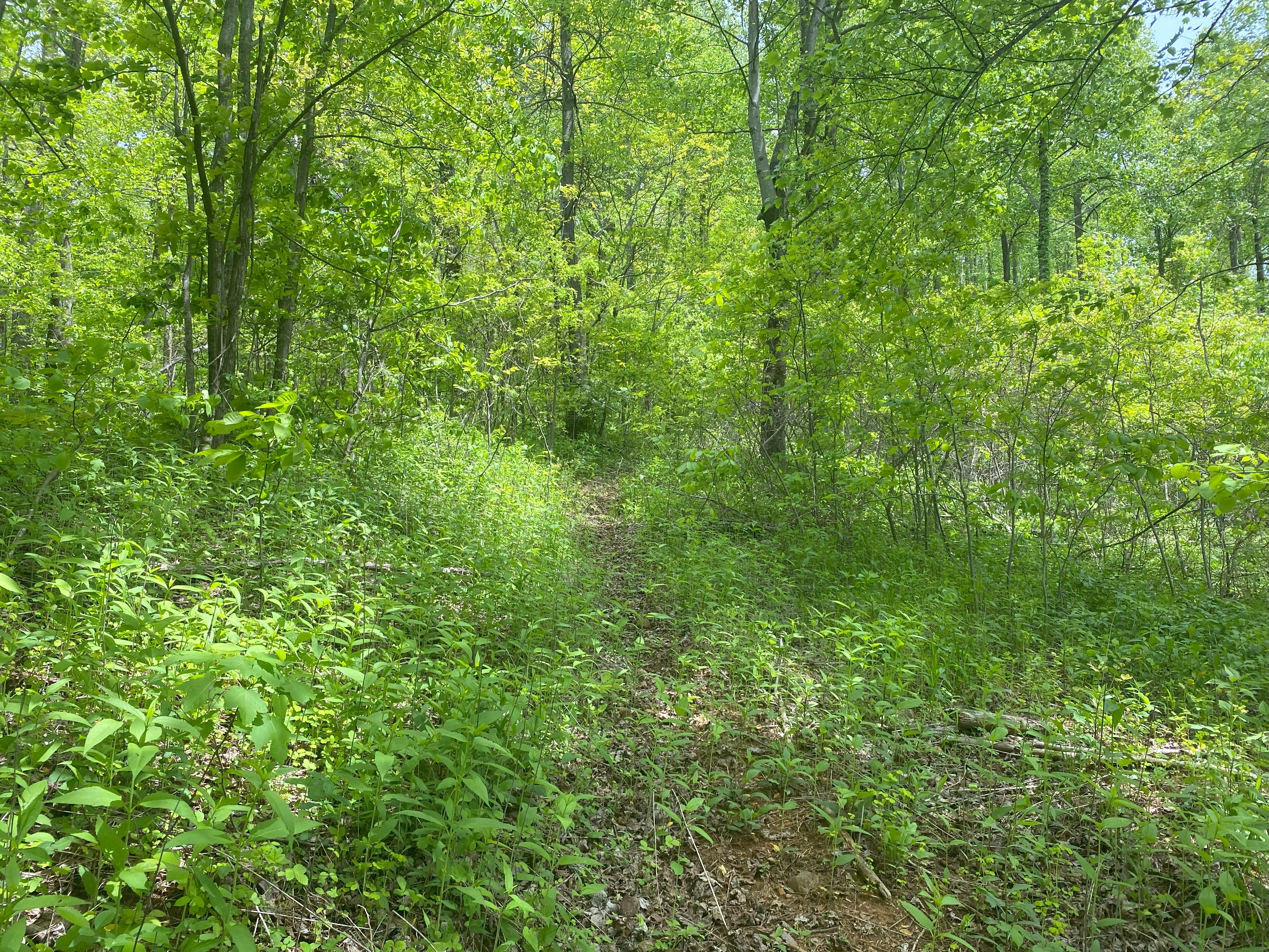
To rework a quote given by one of my physics professors in college when discussing Einstein's energy equations: "It's about damn time we applied Lists of John to something in the real world". In all seriousness, although there are several trip reports on Peakbagger for this Knob, none of them are particularly helpful, so I hopped over to Lists of John and the one trip report that was up there was detailed and helpful! Truth be told, I forget the guy's name, and I don't remember my account info, so check that report out if you get the chance! I took Roper Hollow Road from 64 all the way to about 2700ft south/southeast of the summit. The road is totally doable in a sedan and the game lands are beautiful. There's a pull-off with an orange gate across the road, I followed this gate up to the summit, and the first 2/3rds of this brief hike was nice, but the summit itself is incredibly thorny, so I ended up getting my pictures a little bit off the summit. Nothing was posted and there was no property demarcation I could distinguish - along with the fact that Roper Hollow is entirely on public lands. I say all this because there's a scary "don't trespass on this peak" warning on Peakbagger, and while the other side of the summit is a private community, the side I did is entirely on public lands with no warnings or postings. Idk what's up there but go this way and you'll be entirely fine

High Windy, May 6th
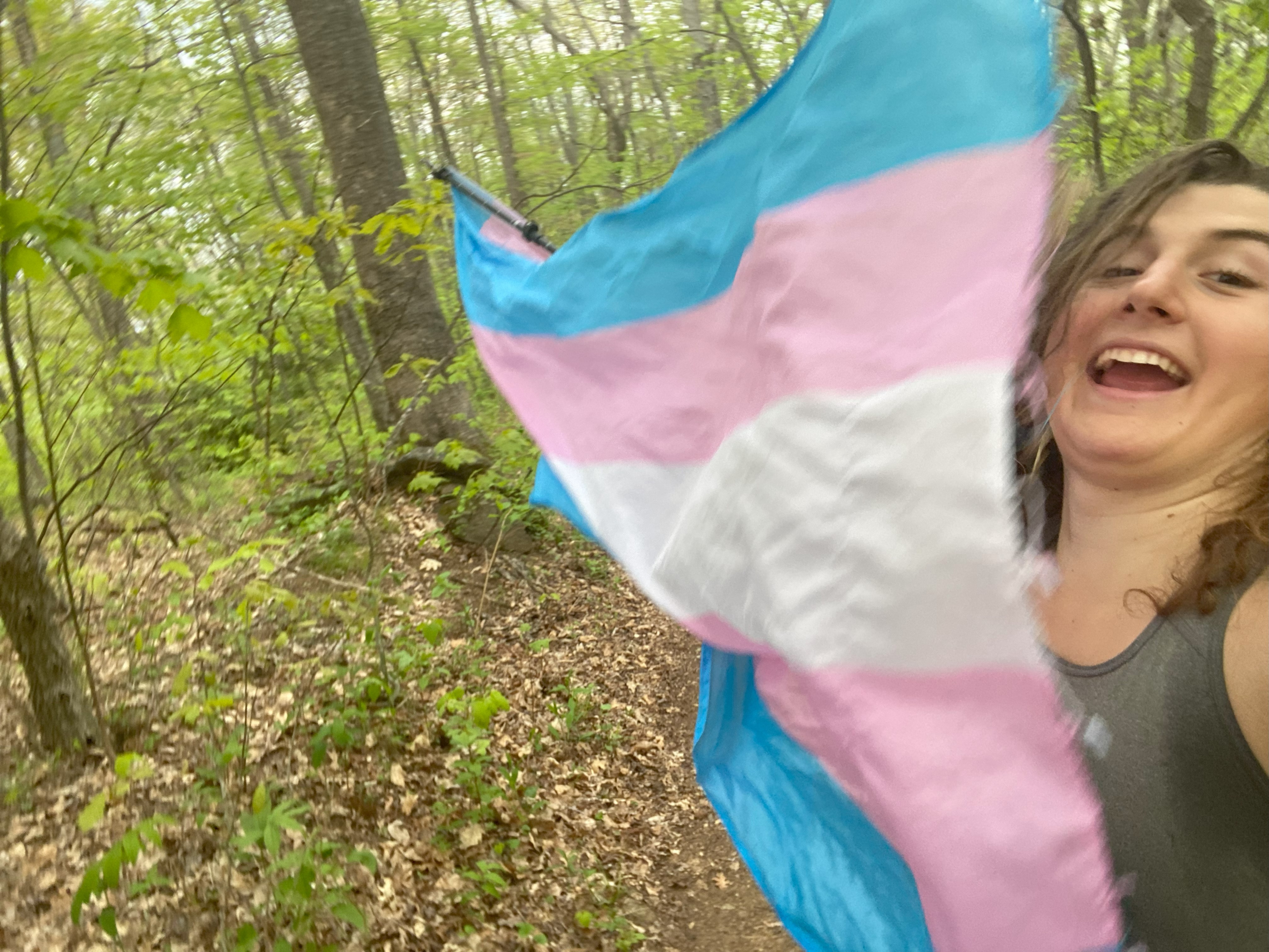
I followed Tom Layton's excellent trip report for this one, and I'll simply add that the YMCA center has free parking in the visitor's area and that the trail is maintained (albeit poorly) all the way up the ridge. My short-sightedness forgot to make sure my phone was charged before leaving, and so I had to get my shots at 3800ft with 1% left, but the flag did reach the summit nonetheless!
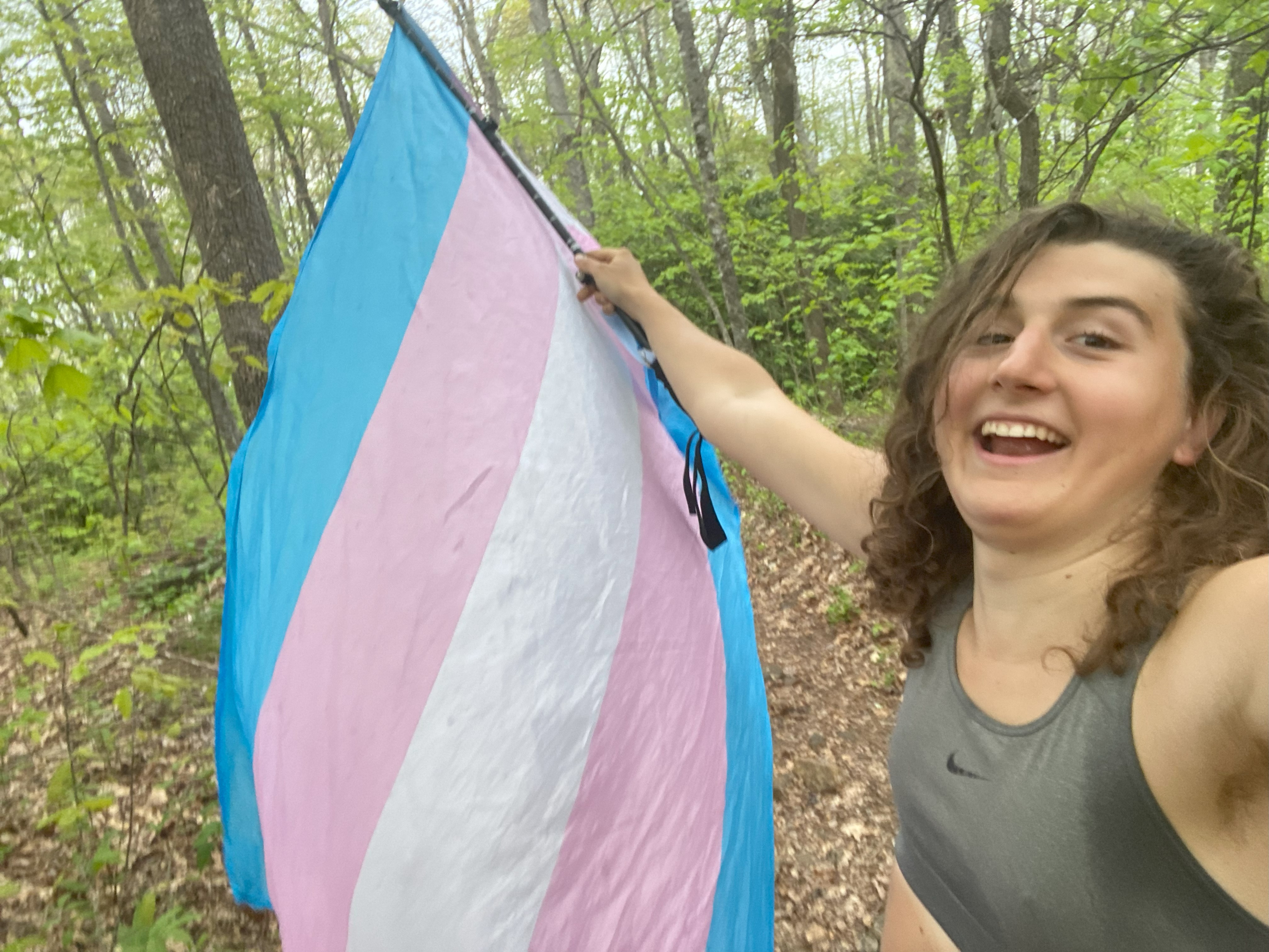
Little Pisgah Mountain, May 7th
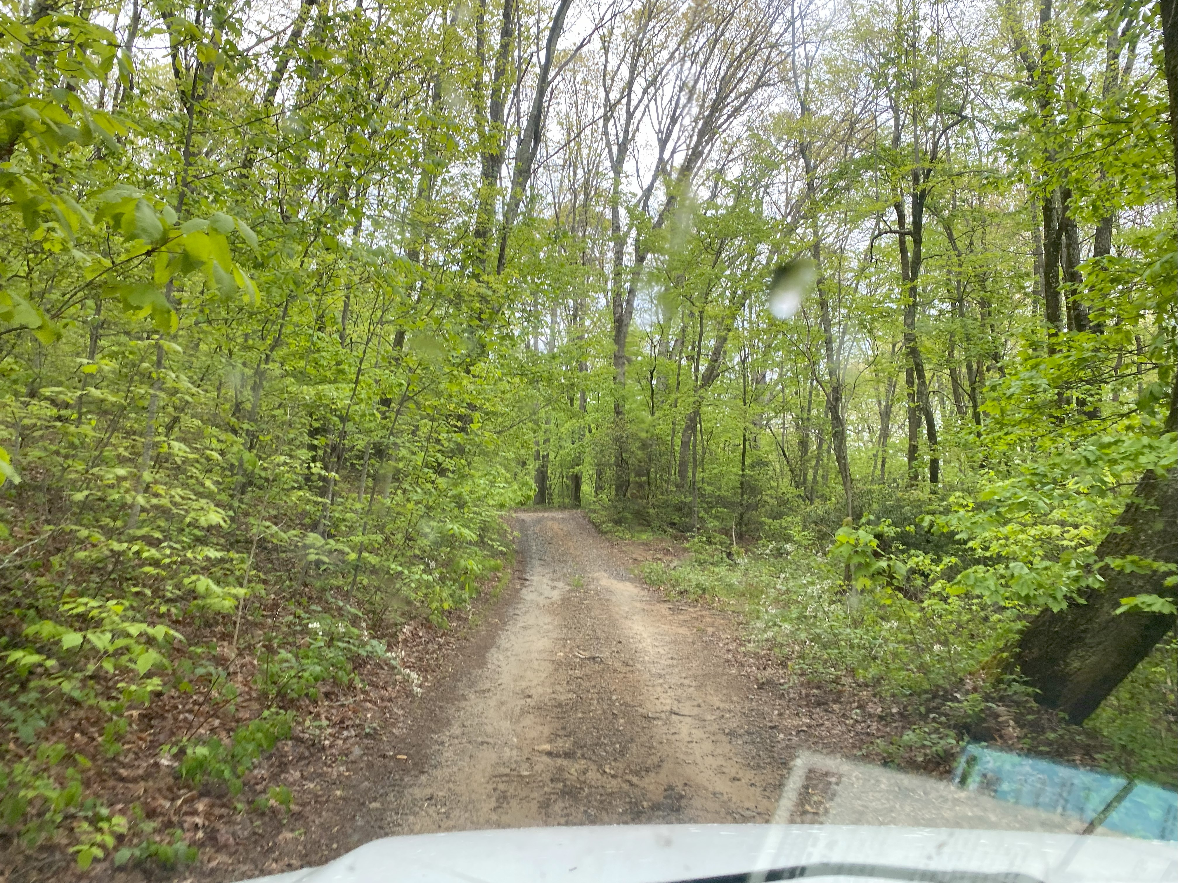
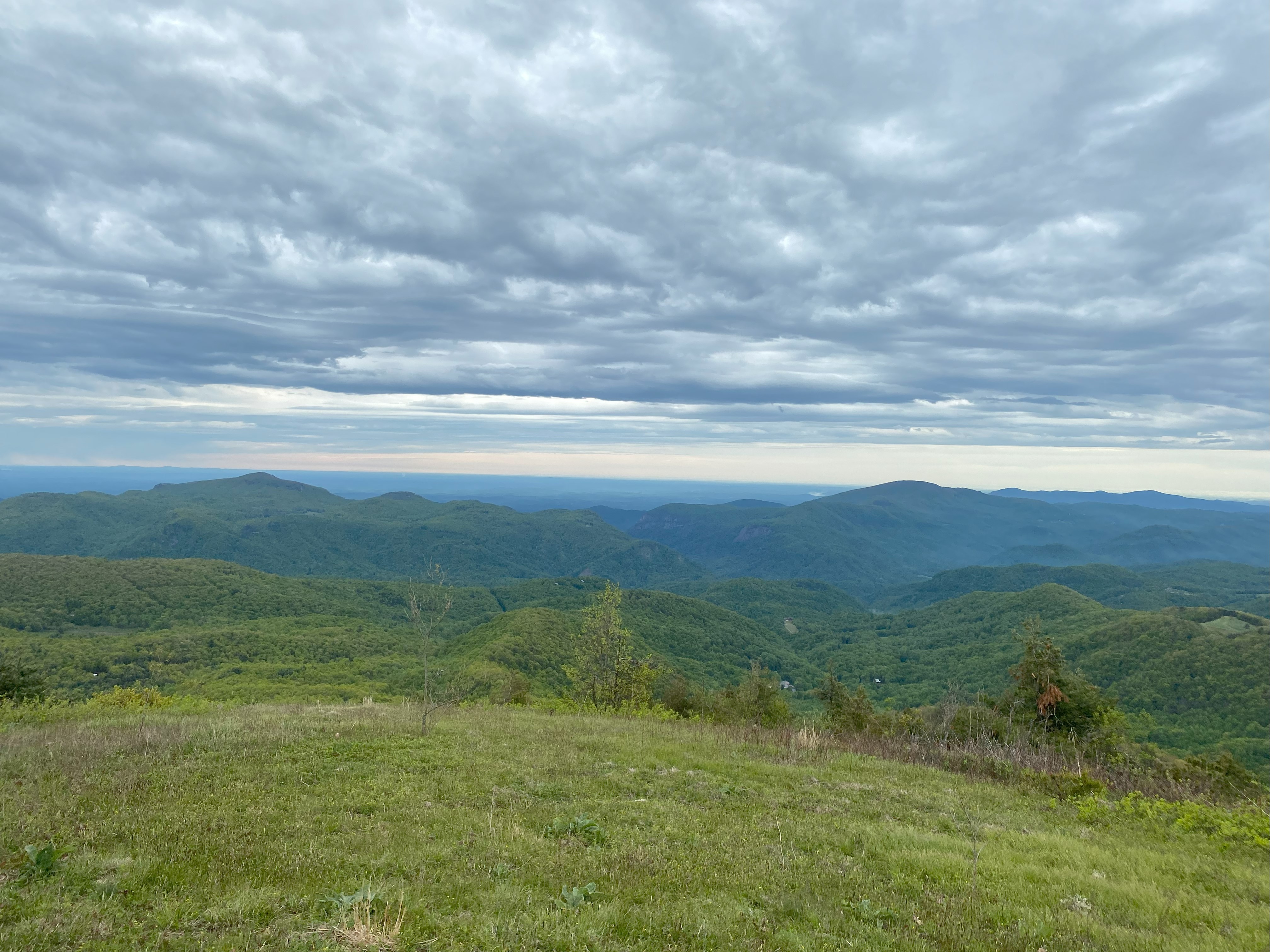
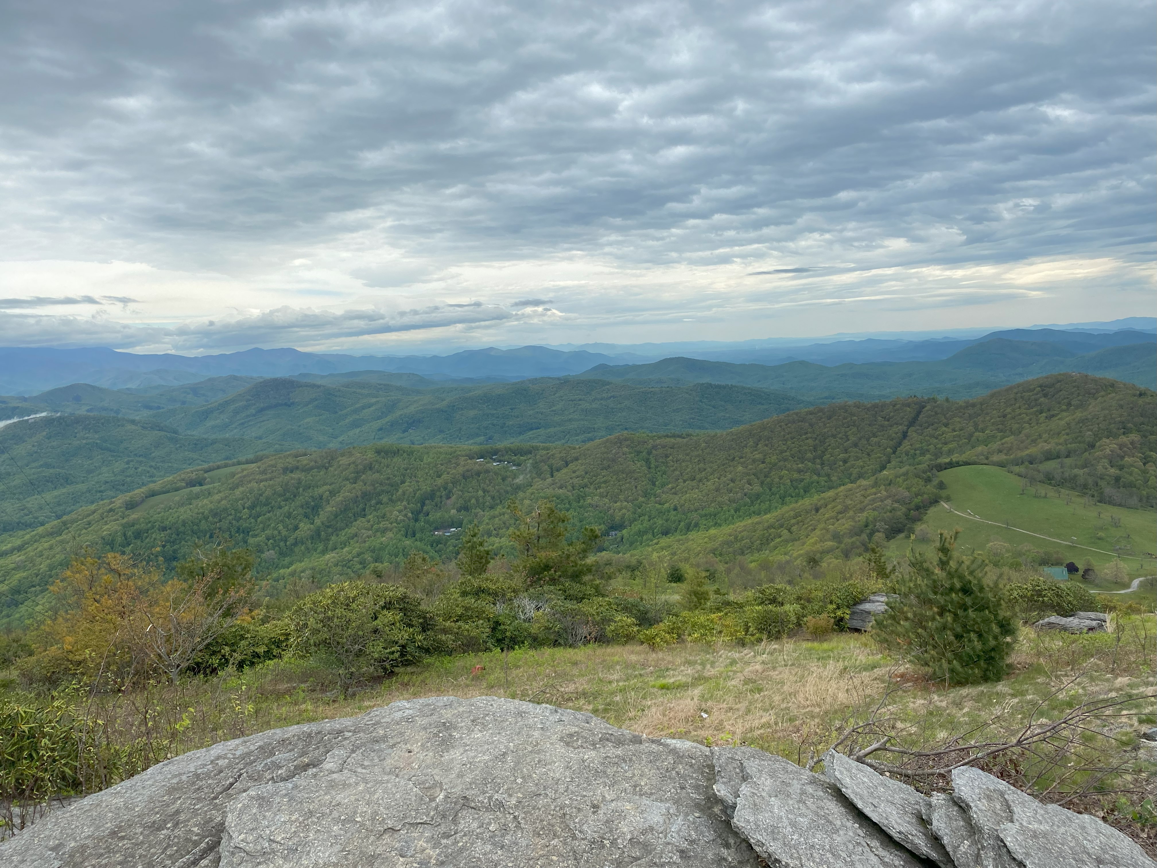
I followed Tom Layton's directions, expecting to have to hike all the way up with the second gate being closed, but when I got there, it was open! And on to the third and forth gates, open too! I ended up parking about 400ft vertically shy of the summit and walking up, though my van wouldn't have had any problems making it up. Fantastic views, I headed back down and found the second gate closed when I got back! I talked to some pedestrians I met there and they recommended I knock on some of the houses there to see if anyone would give me the code for the lock. So I drove back up and hit every house and... nothing. AFter about an hour of no success I came back to the gate and was prepared to wait for potentially hours to be scolded by whoever shoed up, but I quicked my time by a little trick called "bashing the lock with the wooden end of my pick-mattock until it broke free". And it did - without any damage to the lock either. If you're gonna do this, just park before the second gate, there is posting there and even if it's open you don't know if it will be closed again. But if you do choose to drive up there on a weekday with no one home, bring a lockpicking kit or something to bash the lock with

Sugarloaf Mountain, May 7th
After the ordeal on Little Pisgah, I headed over to Sugarloaf and drove up the eponymous mountain road, which was paved all the way up to a gate at 3700ft. I should have turned around and found a place to park before walking up, but the neighborhood was dense there, and the gate was open, so I sped up the road, got my pic, and sped down. Luckily for me, the workers who had opened the gate ended up behind me on the way down, and I outran them right out of town as not to get cops called on me for trespassing (since the gate was posted but I didn't see it initially because it was open). My advise would be to park at one of the pulloffs closer to 3000ft and walk up on a foggy day, since I wouldn't rely on the gate being open
