Grassy Ridge Bald, Unaka, Big Bald, Coxocomb, Blue Knob, and Flatwoods: May 11th-16th 2023
Grassy Ridge Bald, May 11th
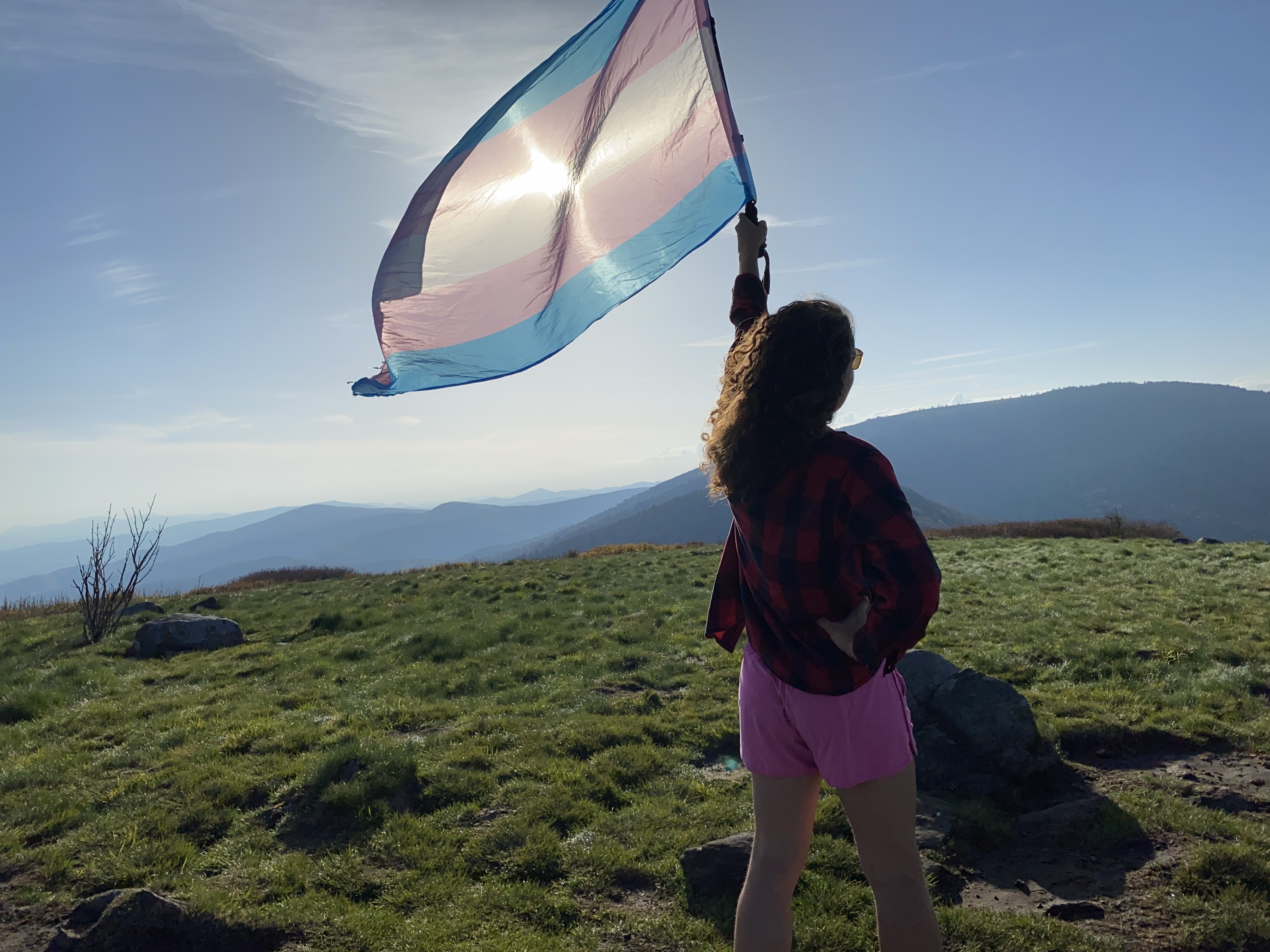
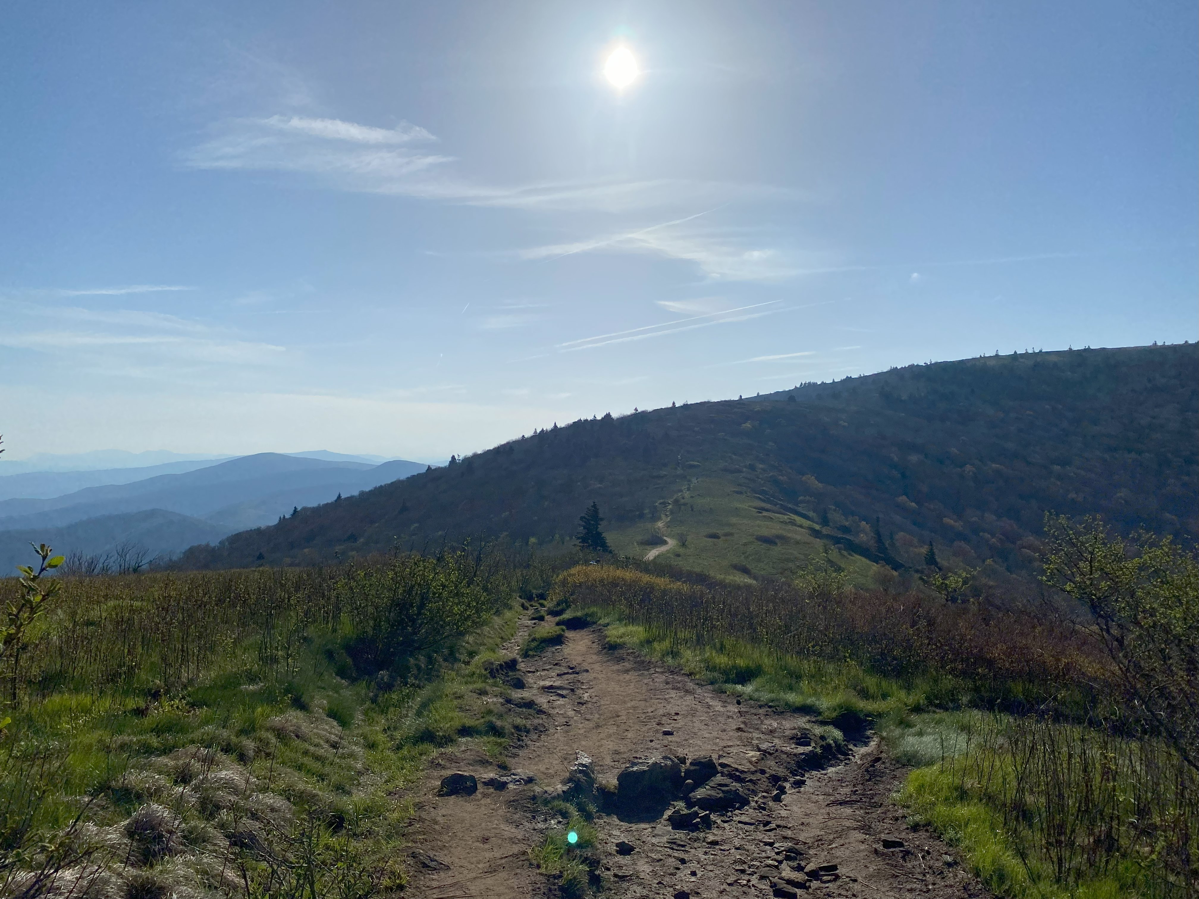
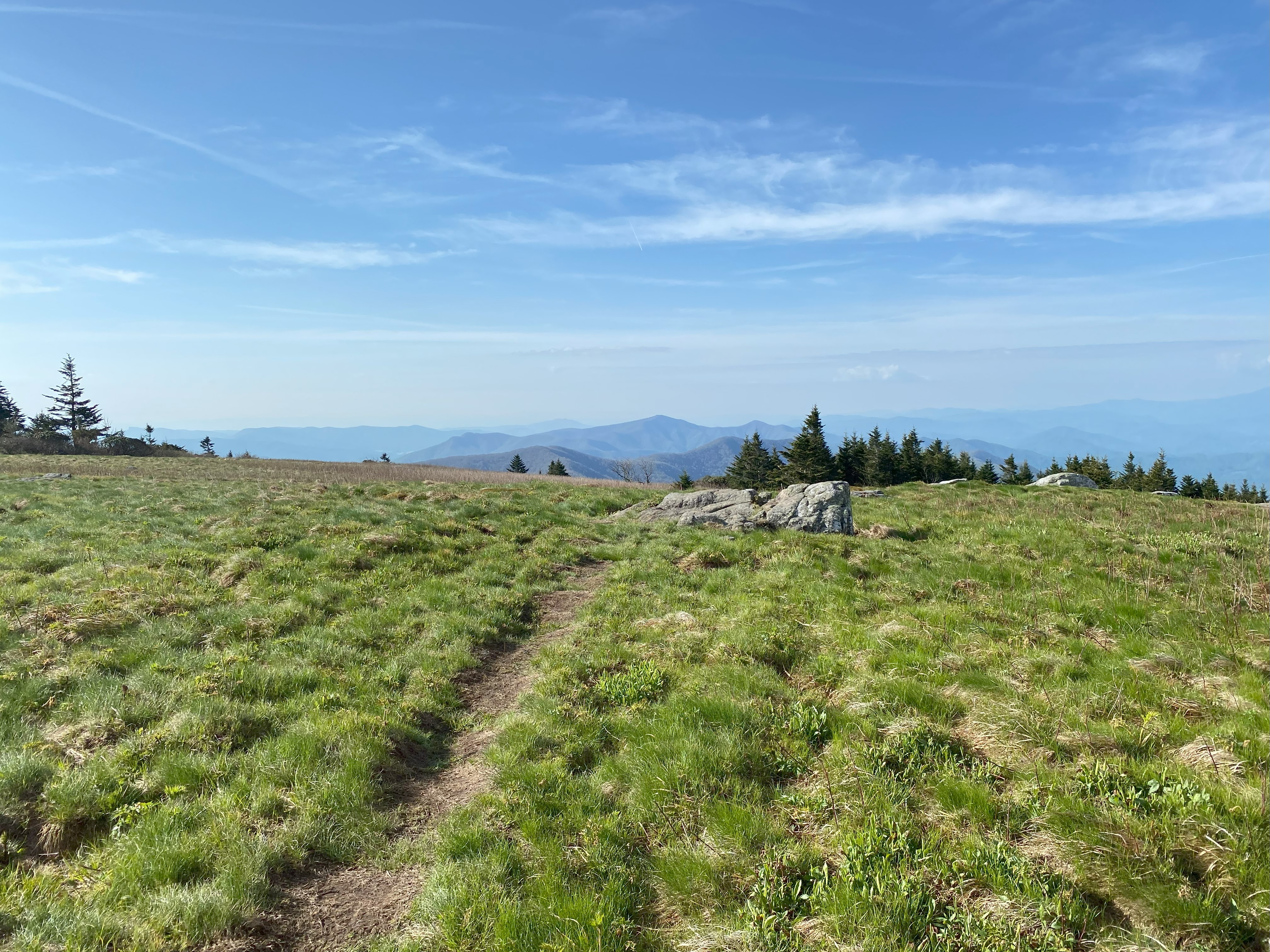
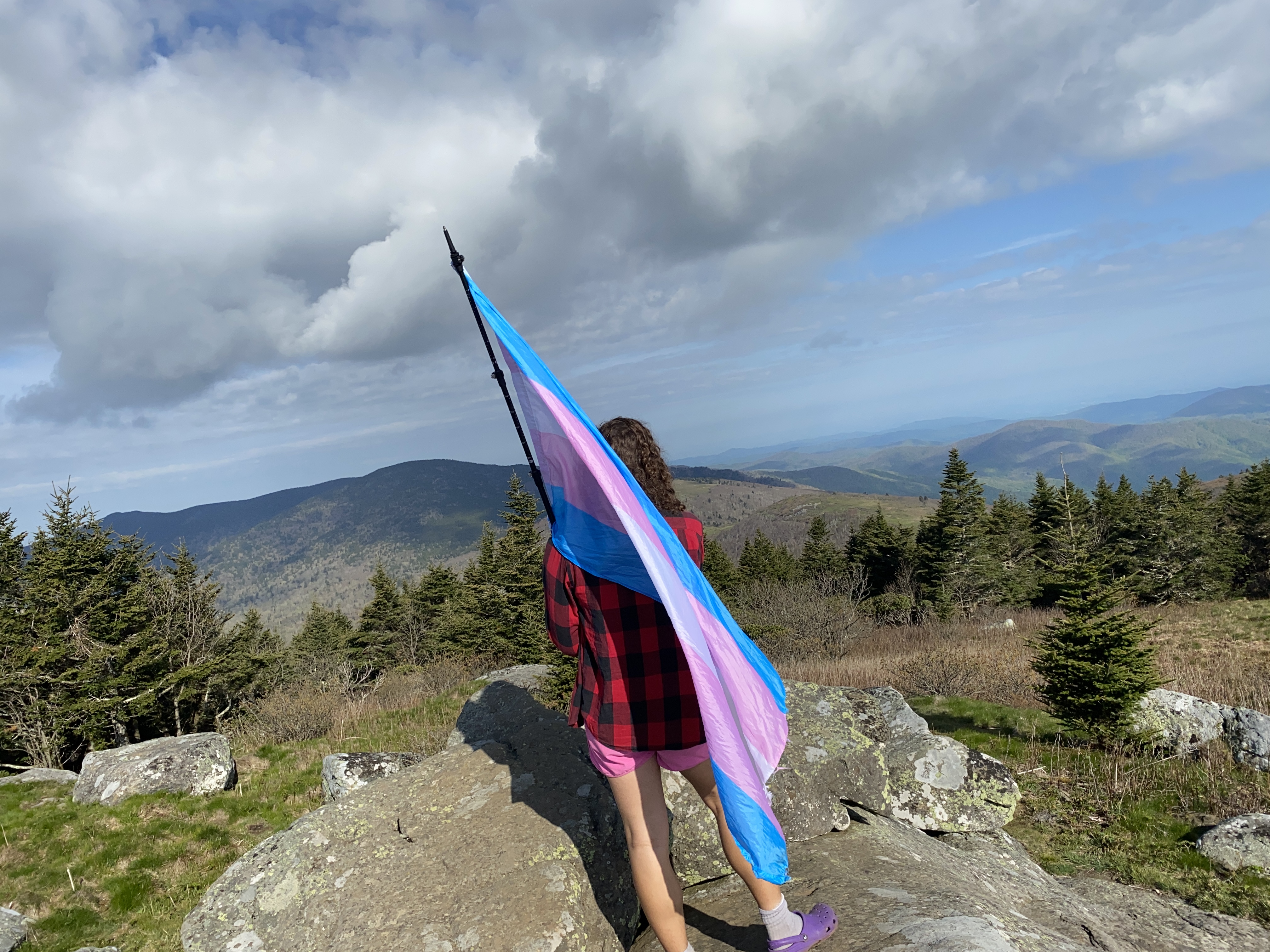
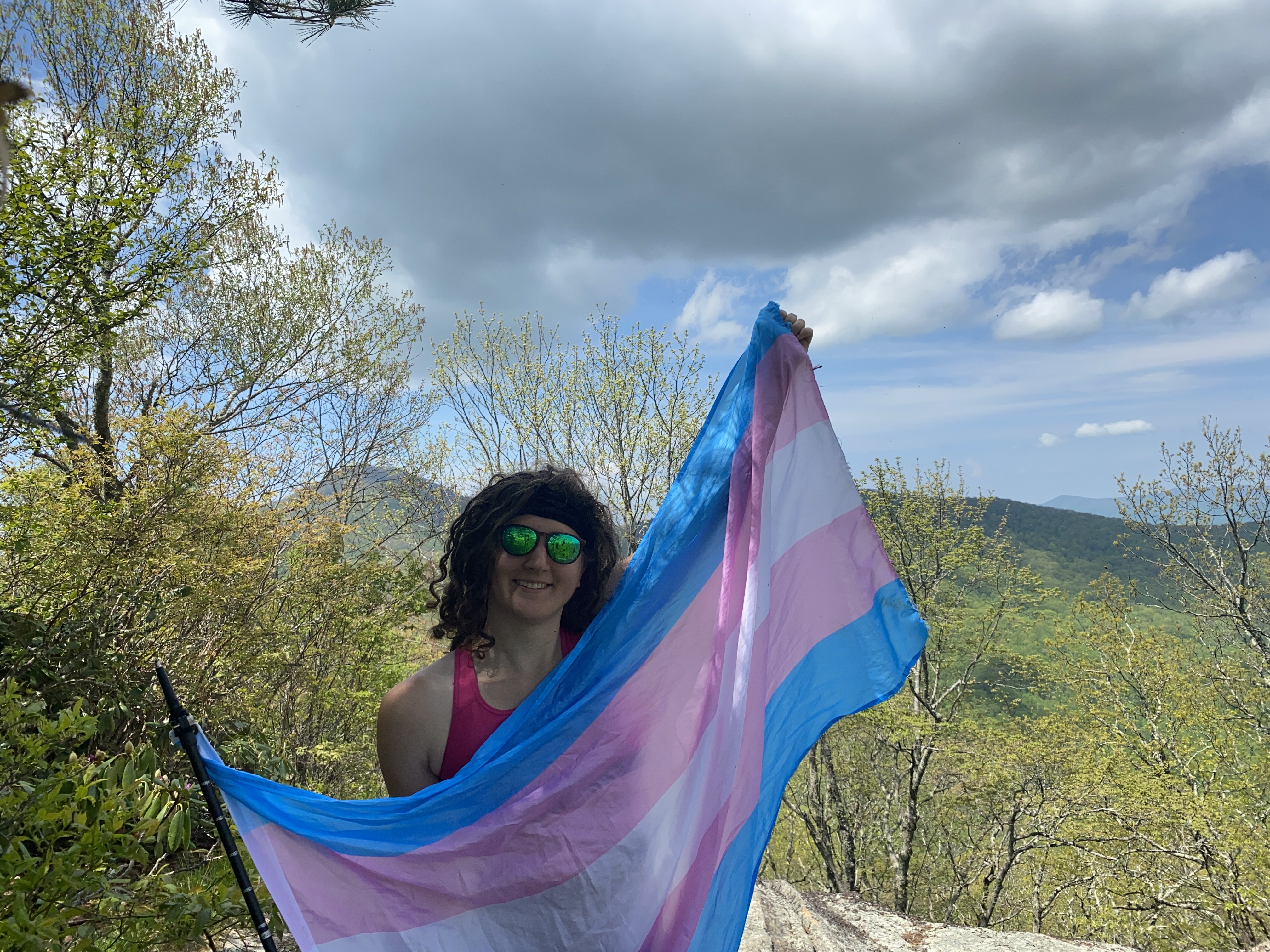
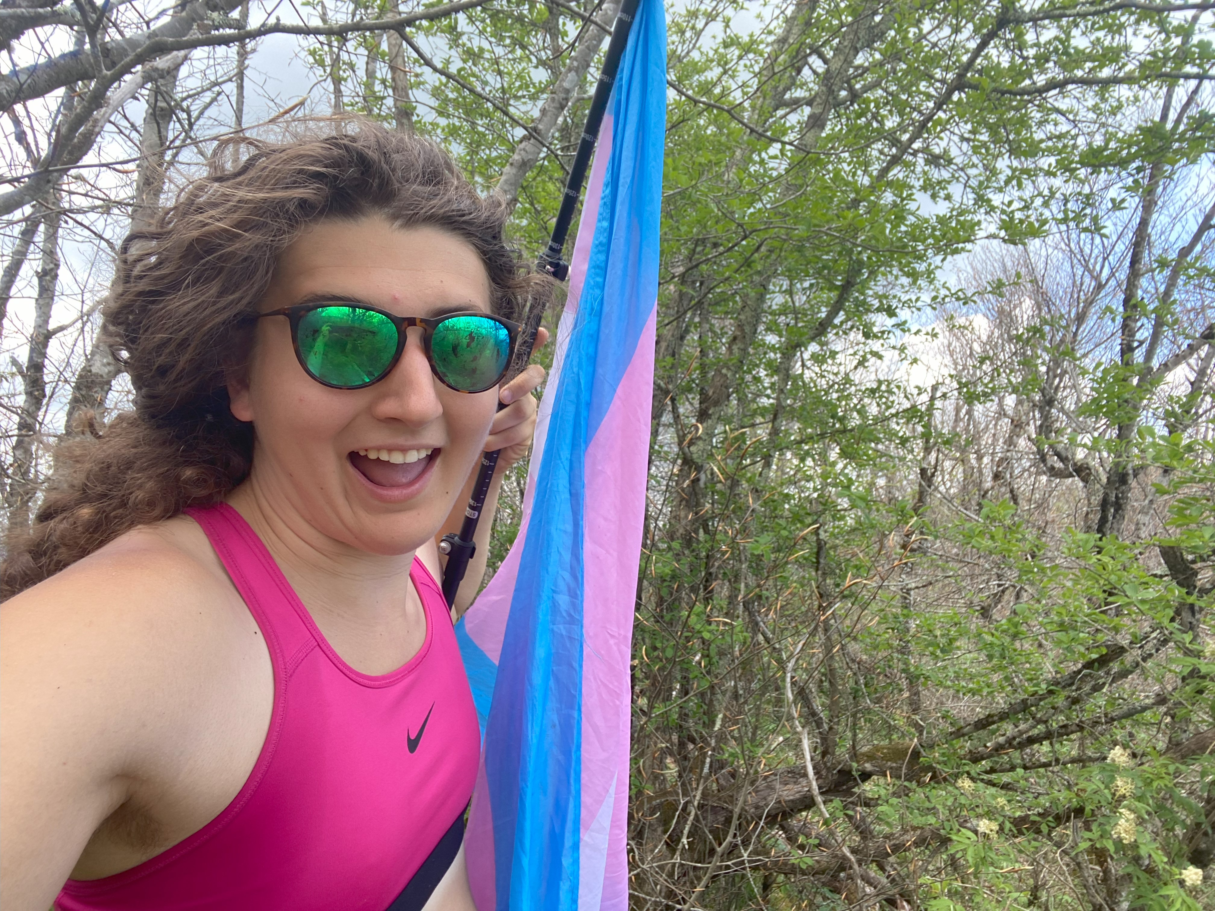
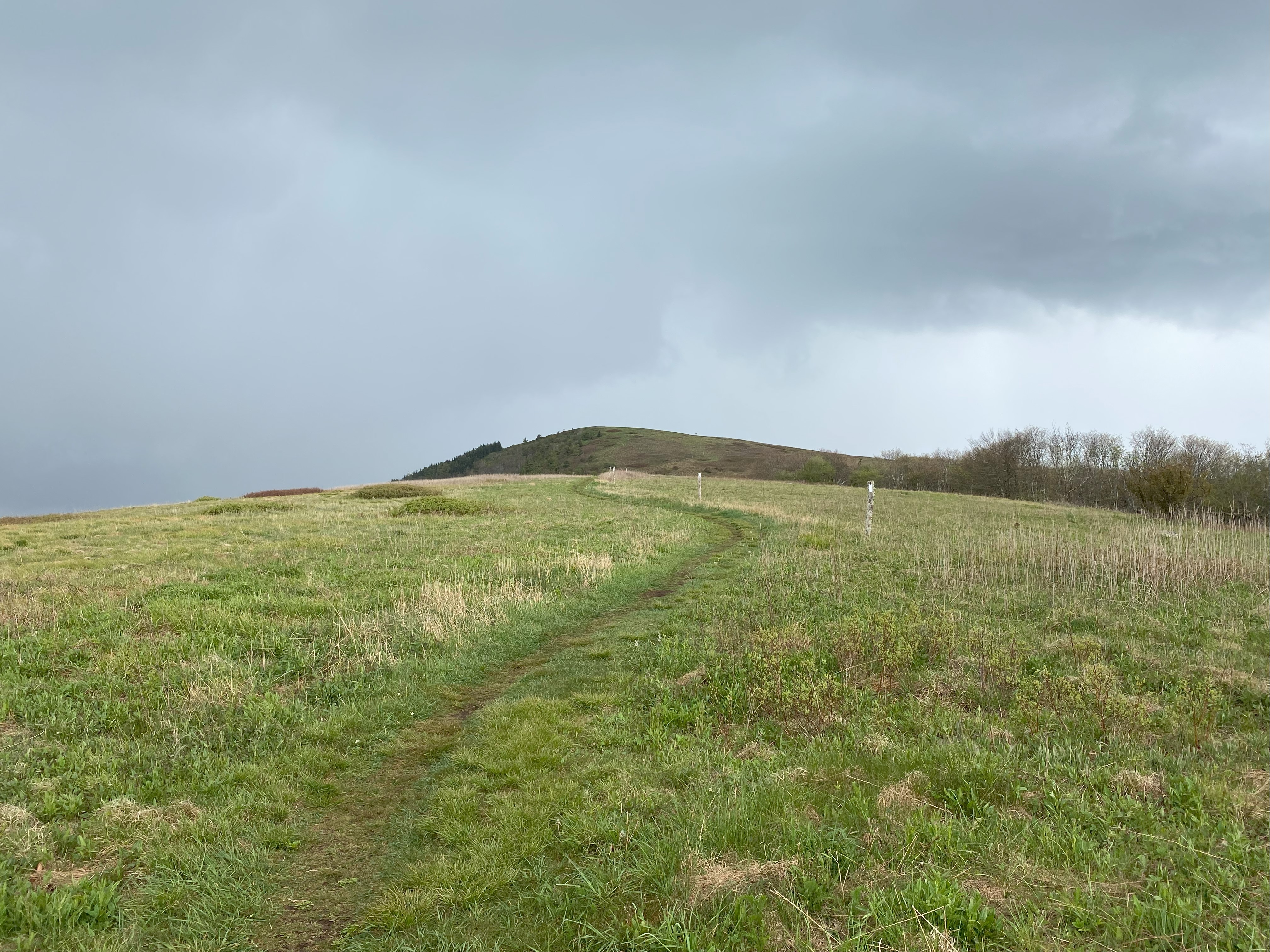
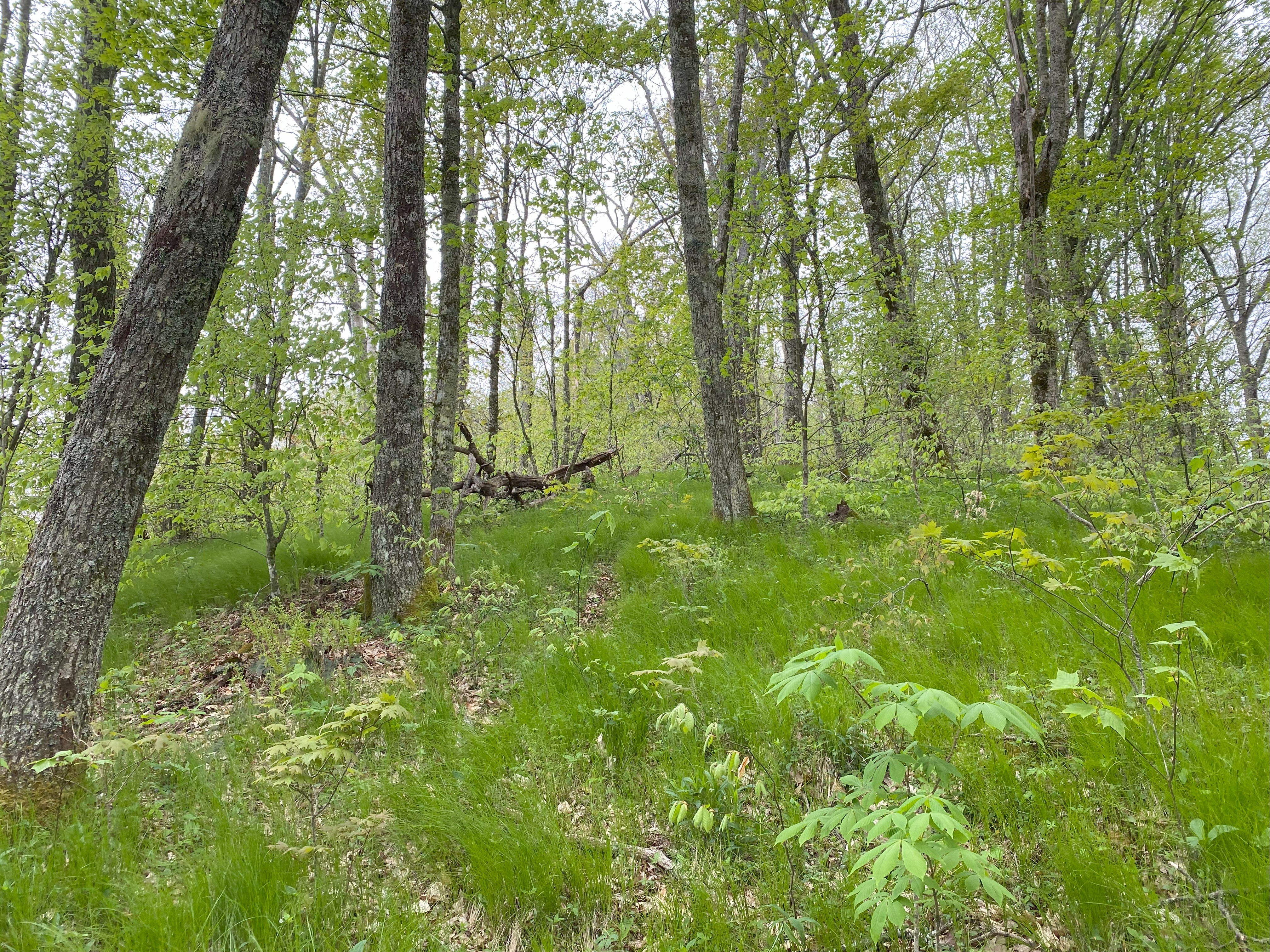
Going back to Carvers Gap was a nice little snapshot for me for the seasons, since this is where I started back in late March - still just as beautiful! I took the AT up Round and Grassy Ridge and honestly it was one of the best hikes I've done int he entire southeast! Absolutely fantastic views with a well-maintained trail
Unaka, May 11th
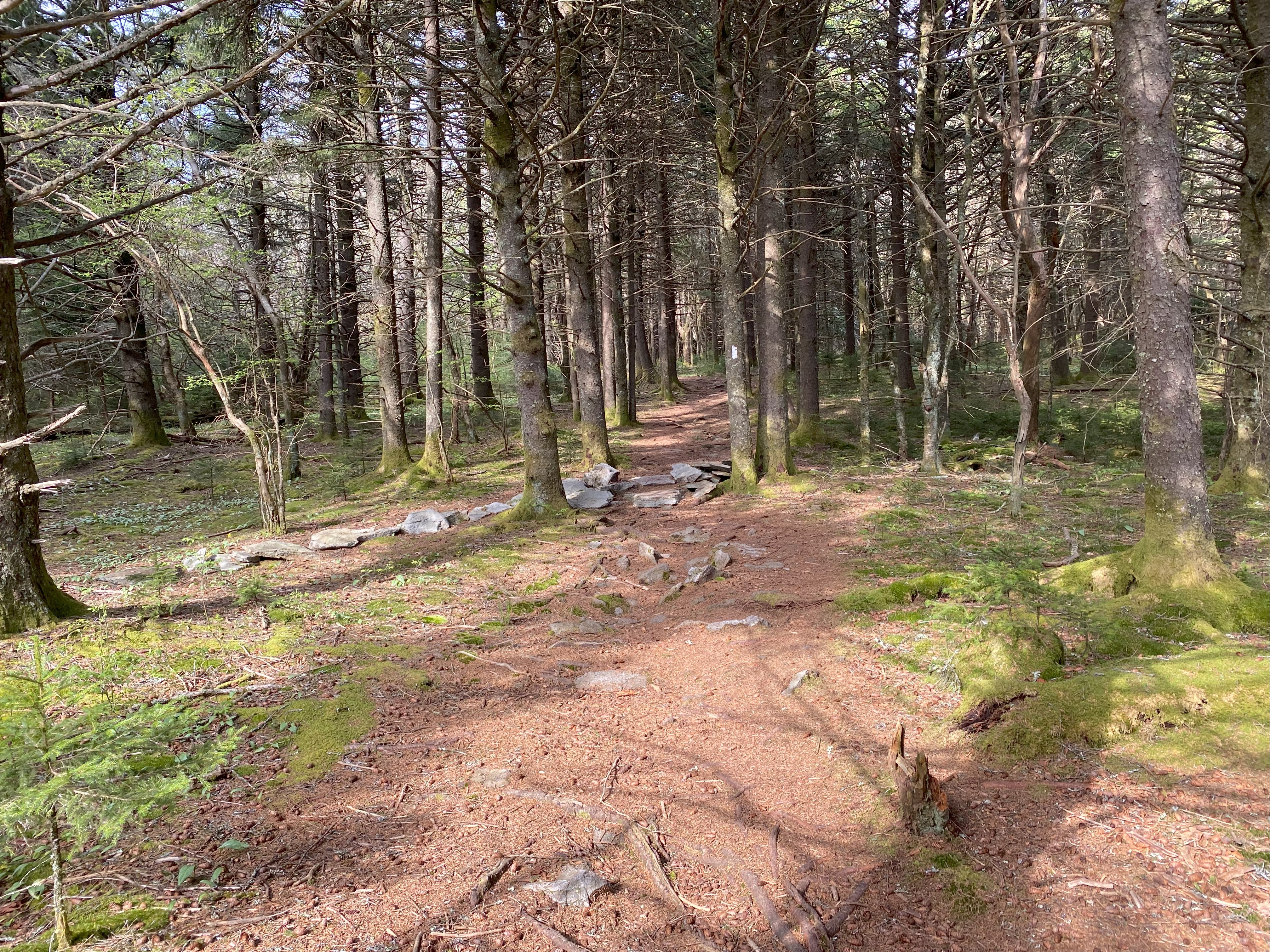
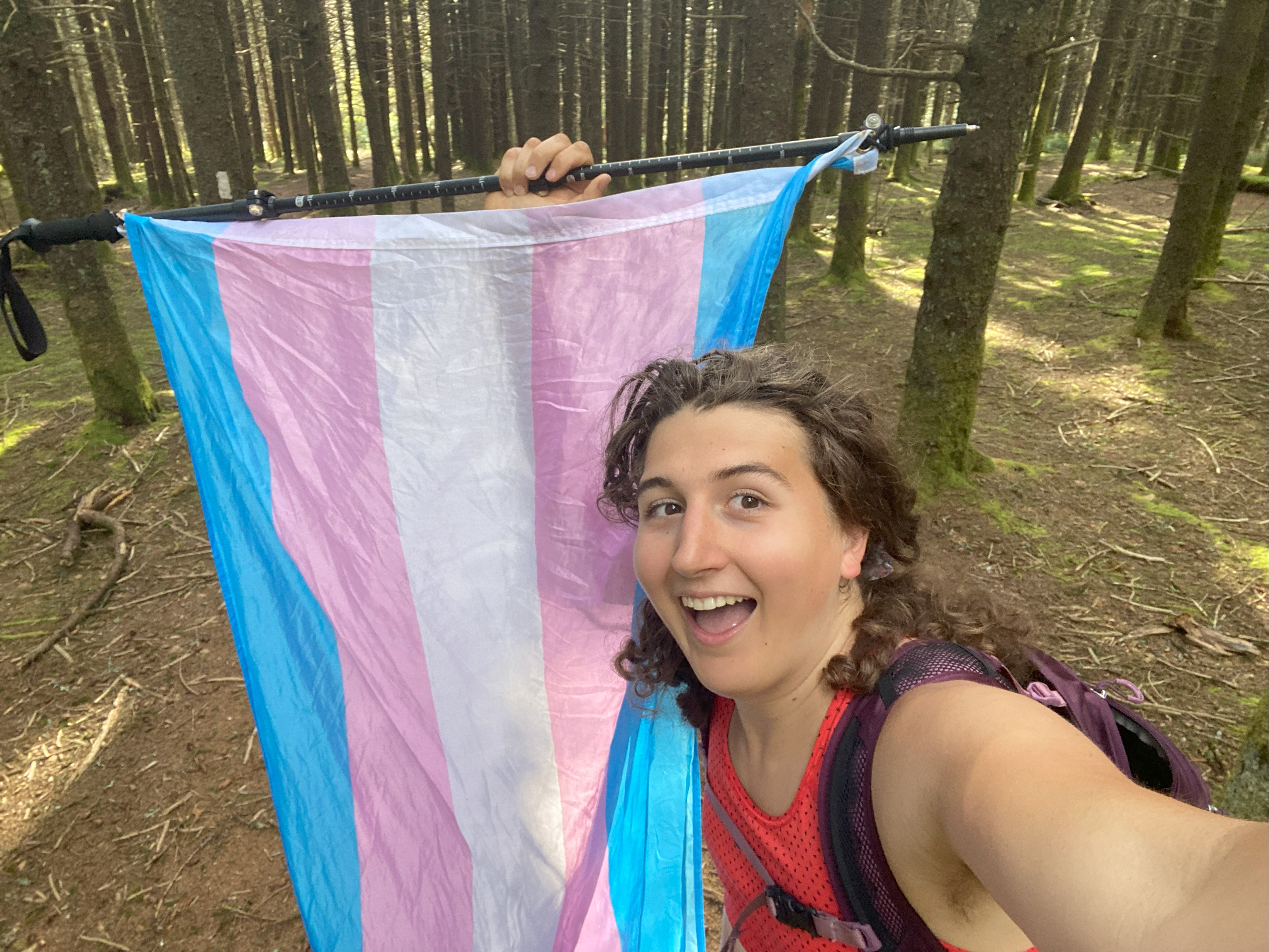
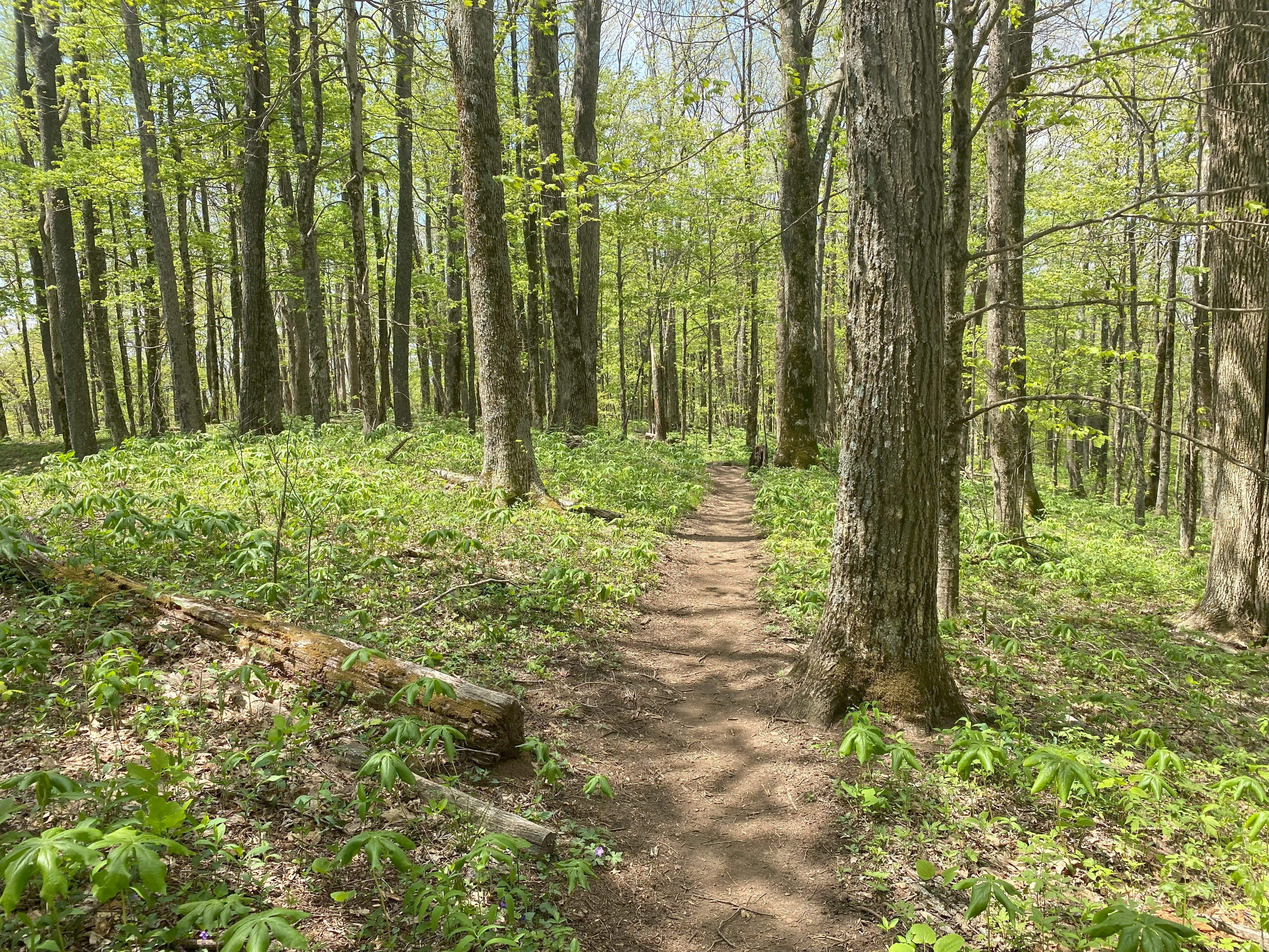
Unaka was originally supposed to be the first peak I did as part of this project, but I decided against it when I couldn't be sure of a view - a good call, as it would turn out. I went up 197 to the gap at 4000ft and drove up tht dirt road to a pulloff at a hairpin turn at 4700ft, a brief hike on the AT got me up to the summit, and after some delightful conversations with thru-hikers, I made my way back down and spent the night on the ridge. No views but a nice hike nonetheless
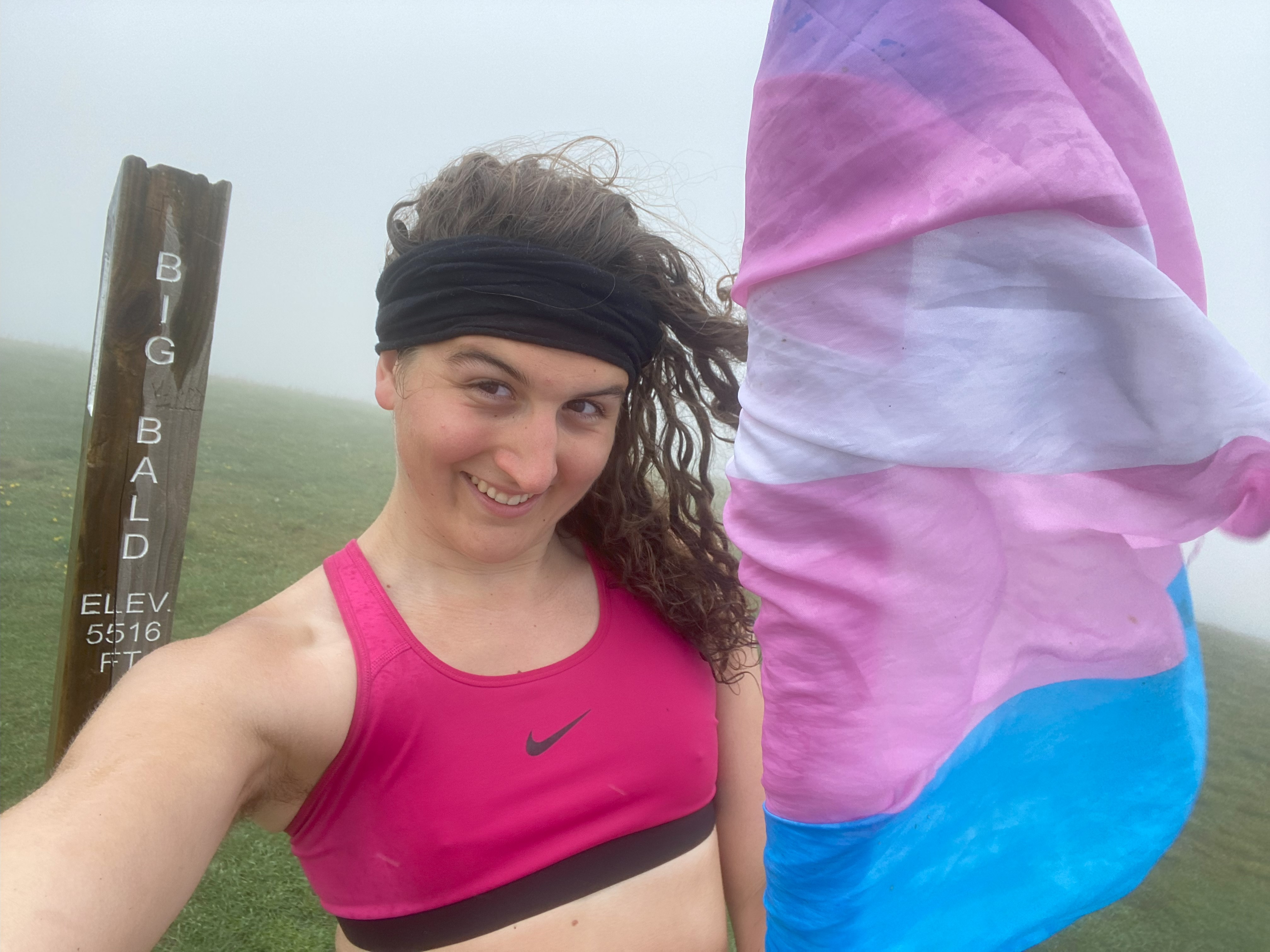
Big Bald, May 12th
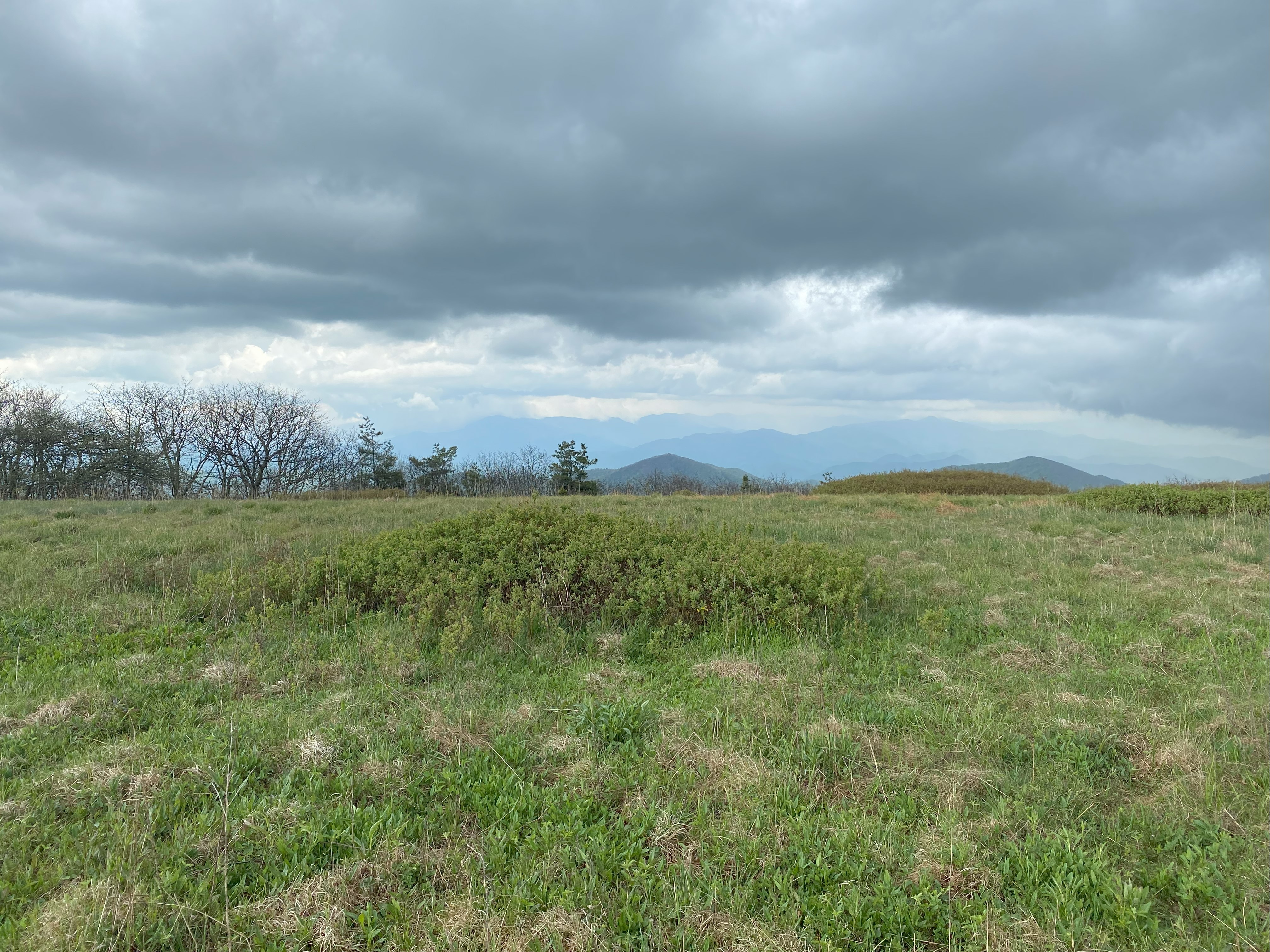
This was the first "real" hike I've done since my backpacking in the smokies a month ago! I say "real" because it was an all day hike with >3000ft of elevation gain and >14 miles, which isn't a big hike, but definitely is much more in line with what I am used to coming from the northeast. Anyhow, the AT from 19W brought me up High Rocks with no issues, and then up to Little Bald, where I could finally catch a glimpse of the main summit. Big Bald does have some great exposed areas near the summit, I just had the misfortune of only showing up right at the point where the storms rolled in, and as soon as I was back in the trees the rain subsided - great luck, but I had it coming after so many good weeks of weather. Hike down I was able to cut over from the High Rocks-Little Bald col over to a USFS road which allowed me to avoid the extra elevation on the ascent!
Coxocomb, May 14th
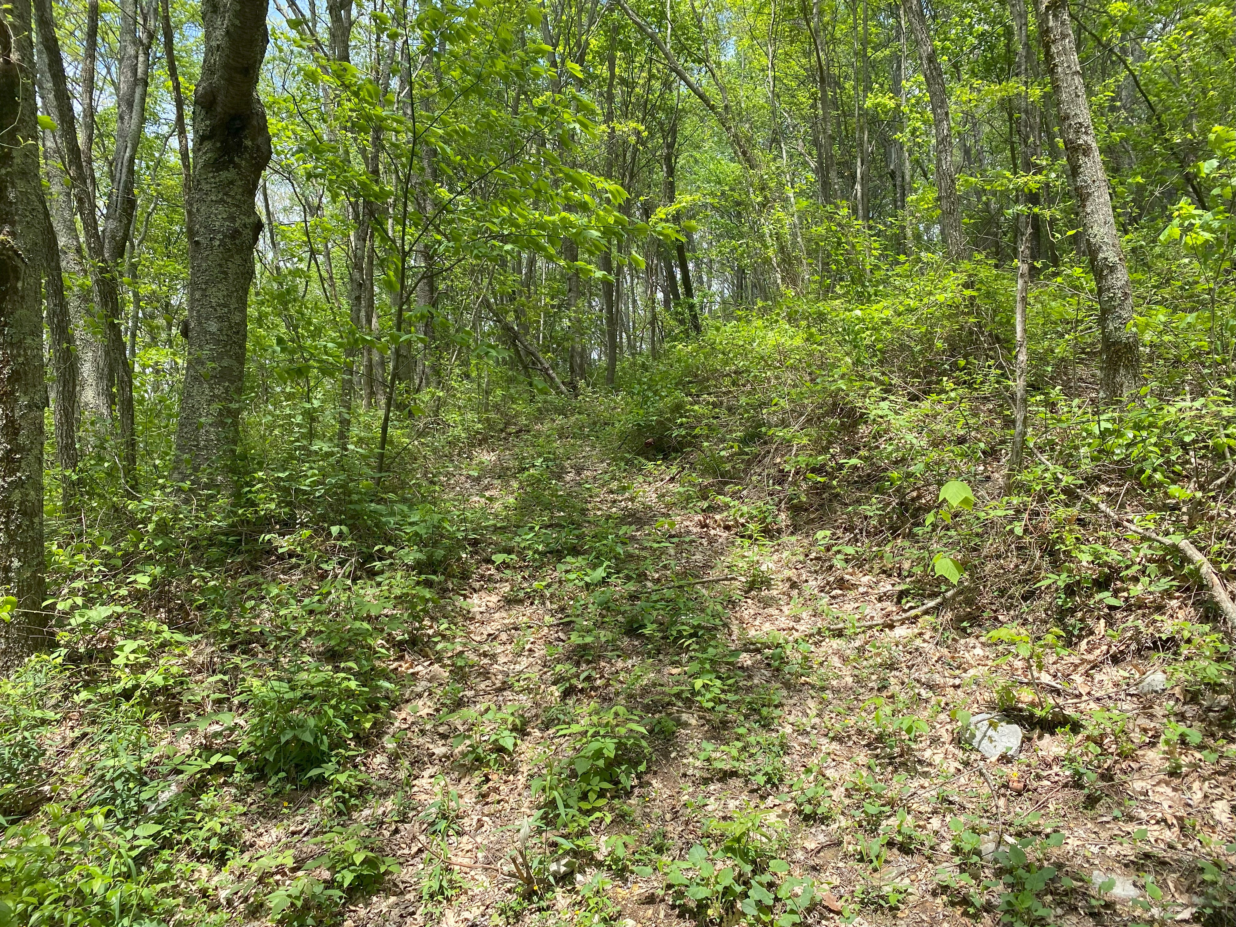
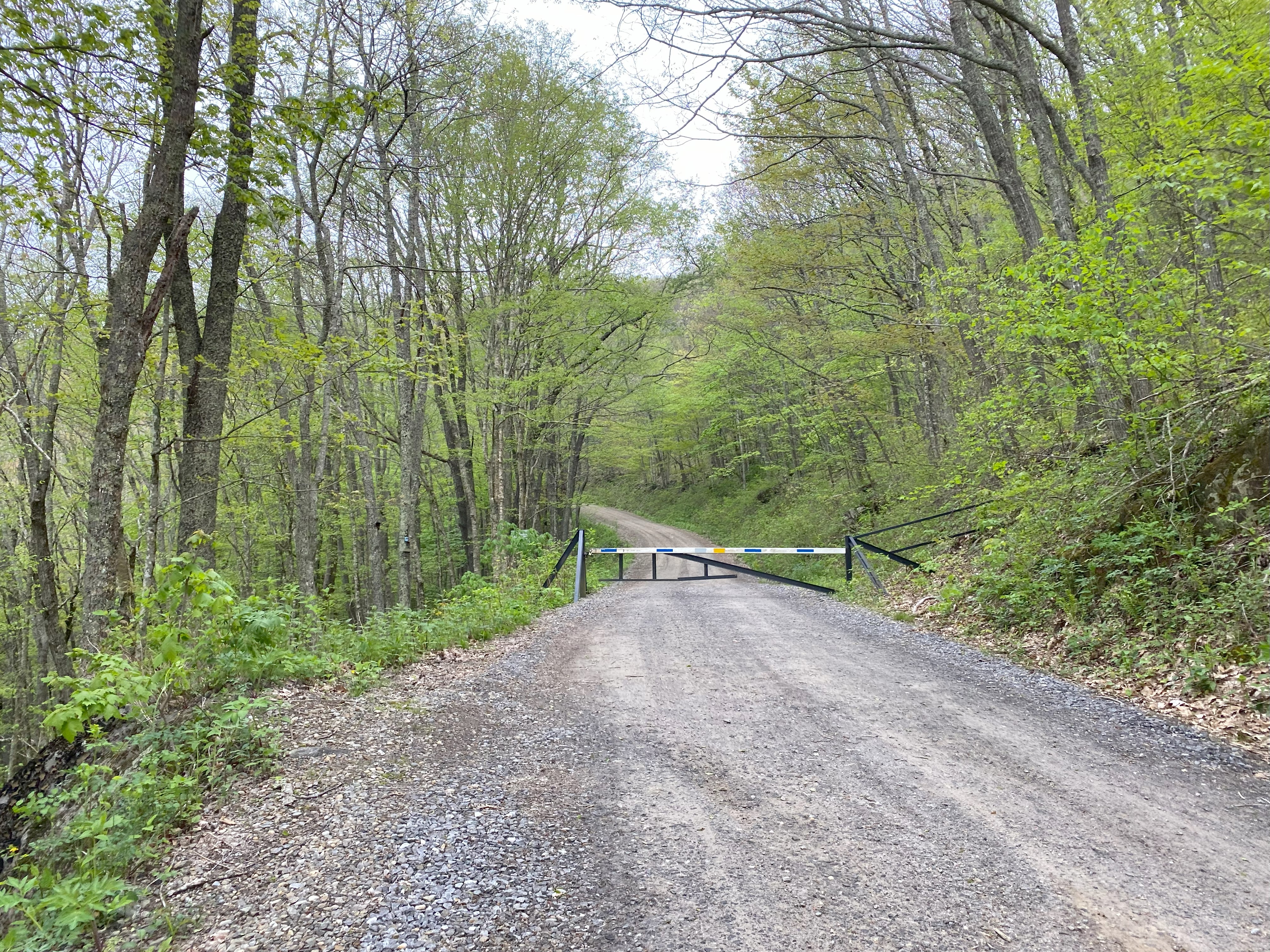
After a much needed rest day I headed up to the Big Bald Trailhead and parked my van before starting up Ogle Meadows Rd, which, although marked as private, is entirely unposed/gated up until 4800ft, where there is a gate and posting (and nowhere to pull off, so you'll probably have to go from the trailhead). The bushwhack along the USFS line was alright, and I was able to link back on the road when it was in the boundary before traveling along some faint paths from the road up the ridge to the summit area - do be warned, this goes within eyesight of a house with a dog just off the ridge. A nice summit area and a delightful descent, though nothing I would call views tbh.
Blue Knob, May 14th
I followed the detailed trip report of Jason Newman for this one, which was the only report online when I did this. Basically parking at the community garden was no problem, although I did leave a note just in case, the road walk up is entirely unposted and has some cool things here and there - a culvert and a little man-made pond. Unfortunately my phone was on the verge of death so I couldn't get photos of the summit area, but if you just follow the roads leading toward the summit you'll be fine (there aren't many on the mountain)
Flattop, May 16th
Today was going to be Attakulla Range Traverse day, but it was just not the right conditions for me, so instead I headed over to Flattop, where I took the AT up from 19W and the n bushwhacked along an old roadbed to the uninteresting summit area. Worth it if you're doing P1ks, but otherwise probably not.