Attakulla Range Traverse: May 18th 2023
Prelude
Two years ago I moved from Vermont down to Chattanooga to work a trail crew job, and one of the things that pulled me down was the lure of the southern Appalachians. The previous fall I had completed my first major peakbagging project by cranking through the Adirondack 46 in about a month and a half, along with several other peaks in Vermont and the Catskills as part of the 115. My goal for the six months or so that I was living in Chattanooga was to crank through the Southern Sixers, and as I was driving south deliberating where to start, my eyes fixated on the Attakulla Range. I had done similar length hikes in the past, but those had been loops during the middle of my hiking seasons. Instead I decided to take on the entire range in a single day, starting from Big Butt and working my way over to Celo Knob. Needless to say, this was a rather ambitious proposal given the fact that it would be mid-March with little daylight to do a 24 mile traverse with another ten mile roadwalk. But I was confident in myself, so I pushed forward and camped the night before, excited to start hiking. And I entirely failed, rather predictably I might add. It became very apparent as I was hiking up Big Butt that I was not in the hiking shape I had been in the previous fall, and my pacing was significantly slower than it had previously been. Combine that with the fact that I started hiking at 7, and the possibility of getting back and having to set up camp at midnight was apparent in my mind. The nail in the coffin was the sleet storm that started up right as I approached the summit of Big Butt, and having no true winter gear on me made me abandon my goal. So I got back to my car cold, but safe
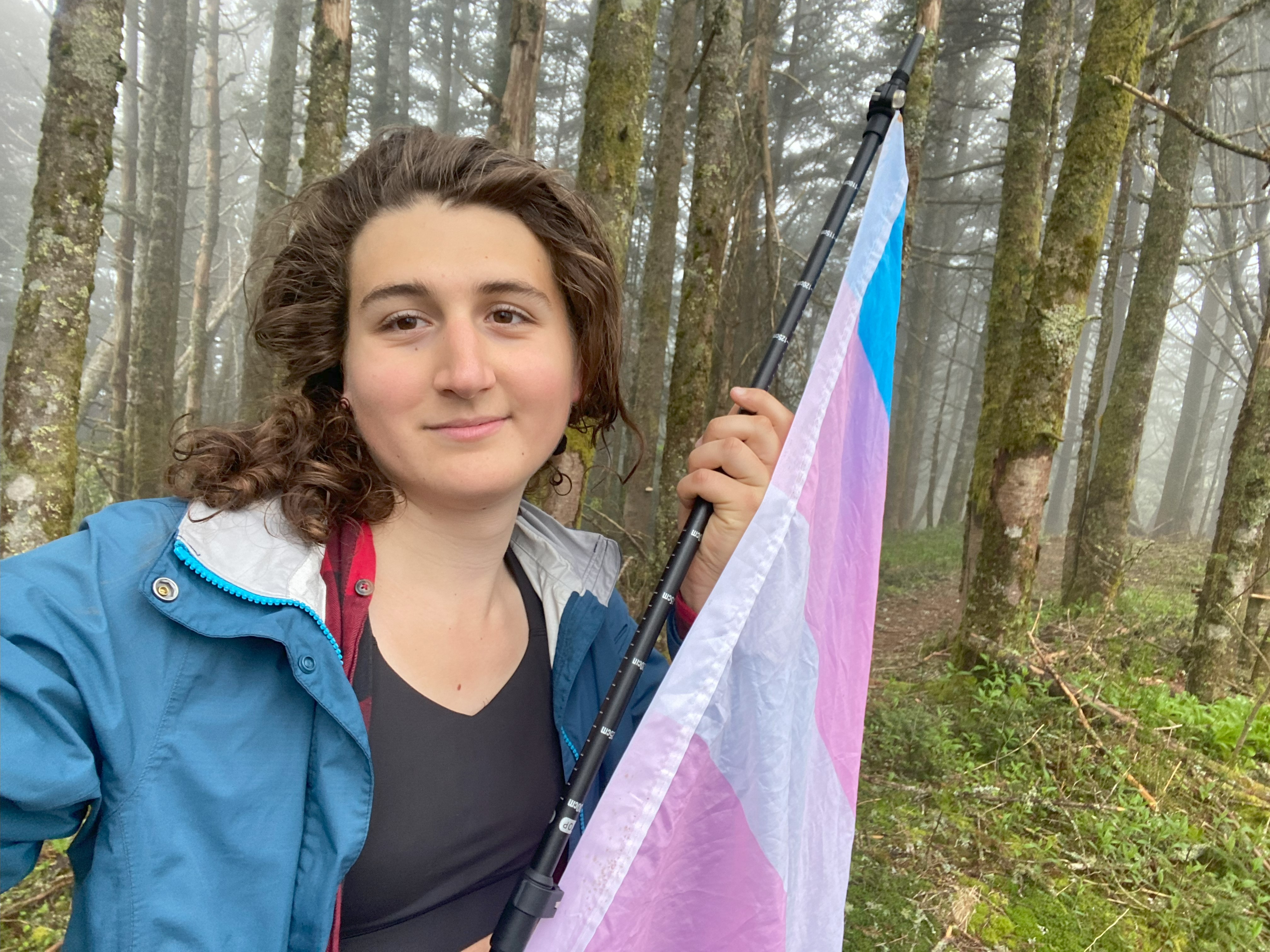
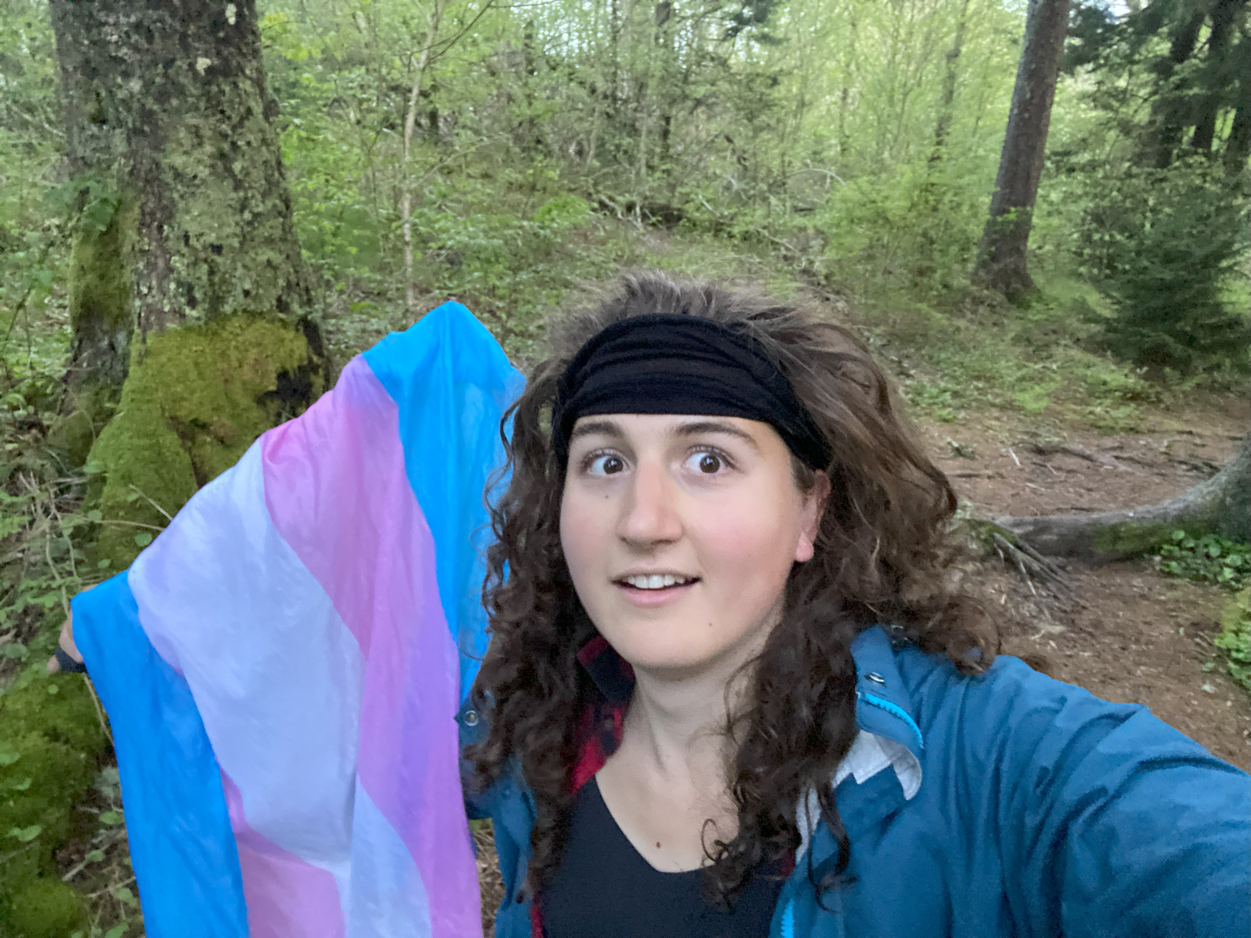
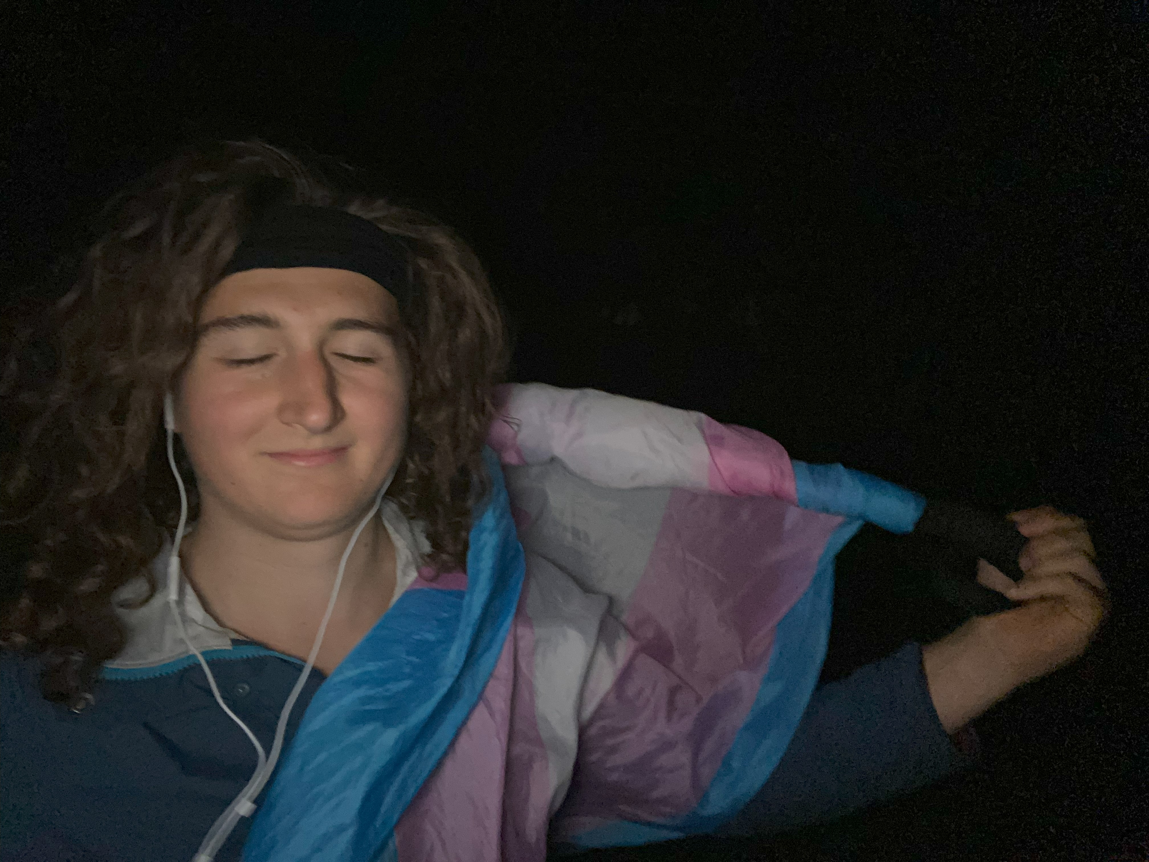
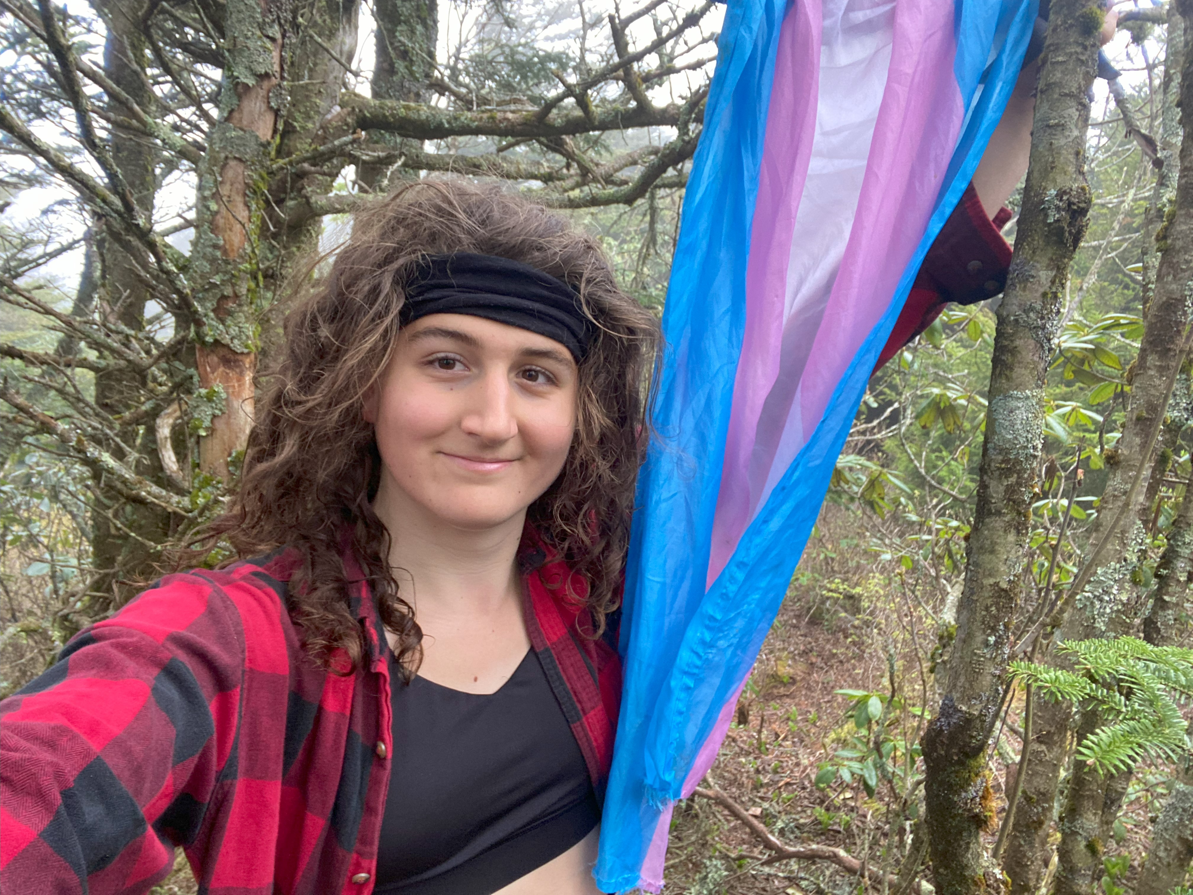
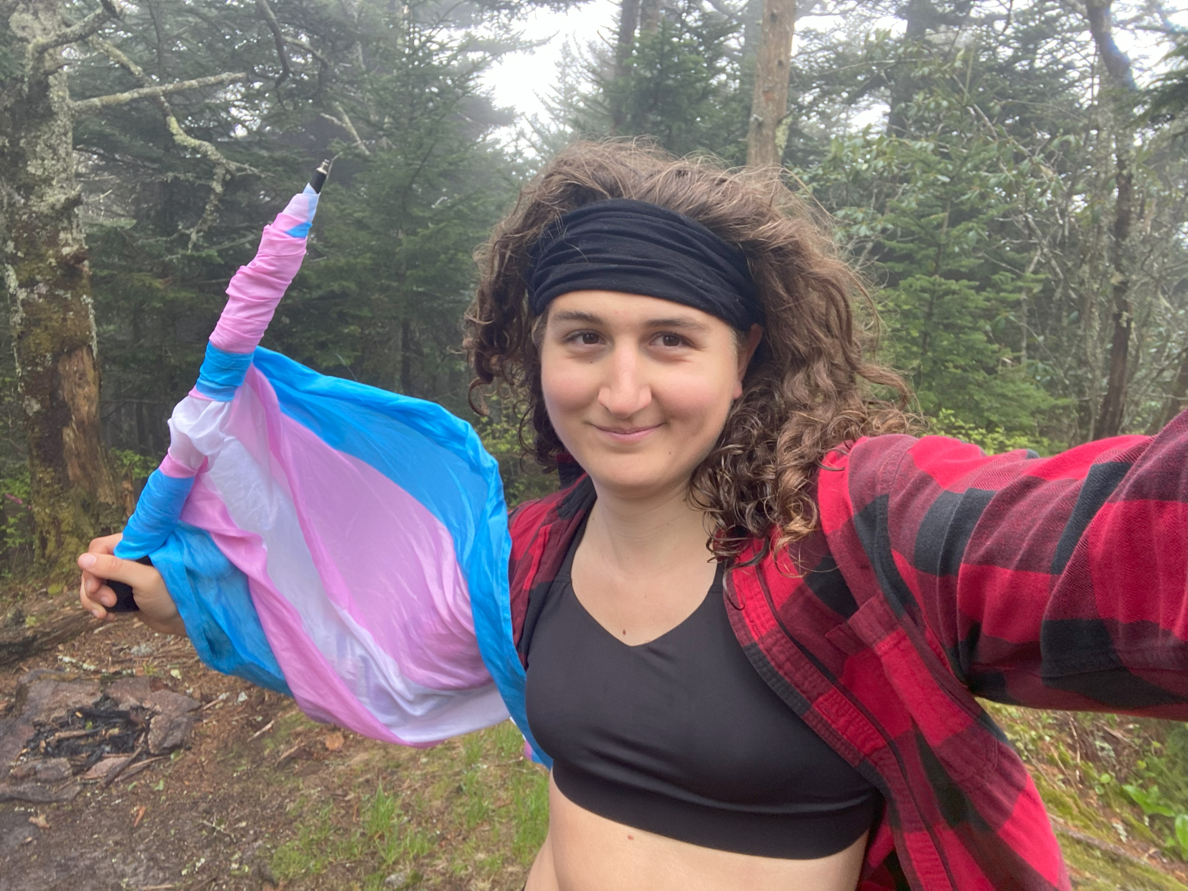
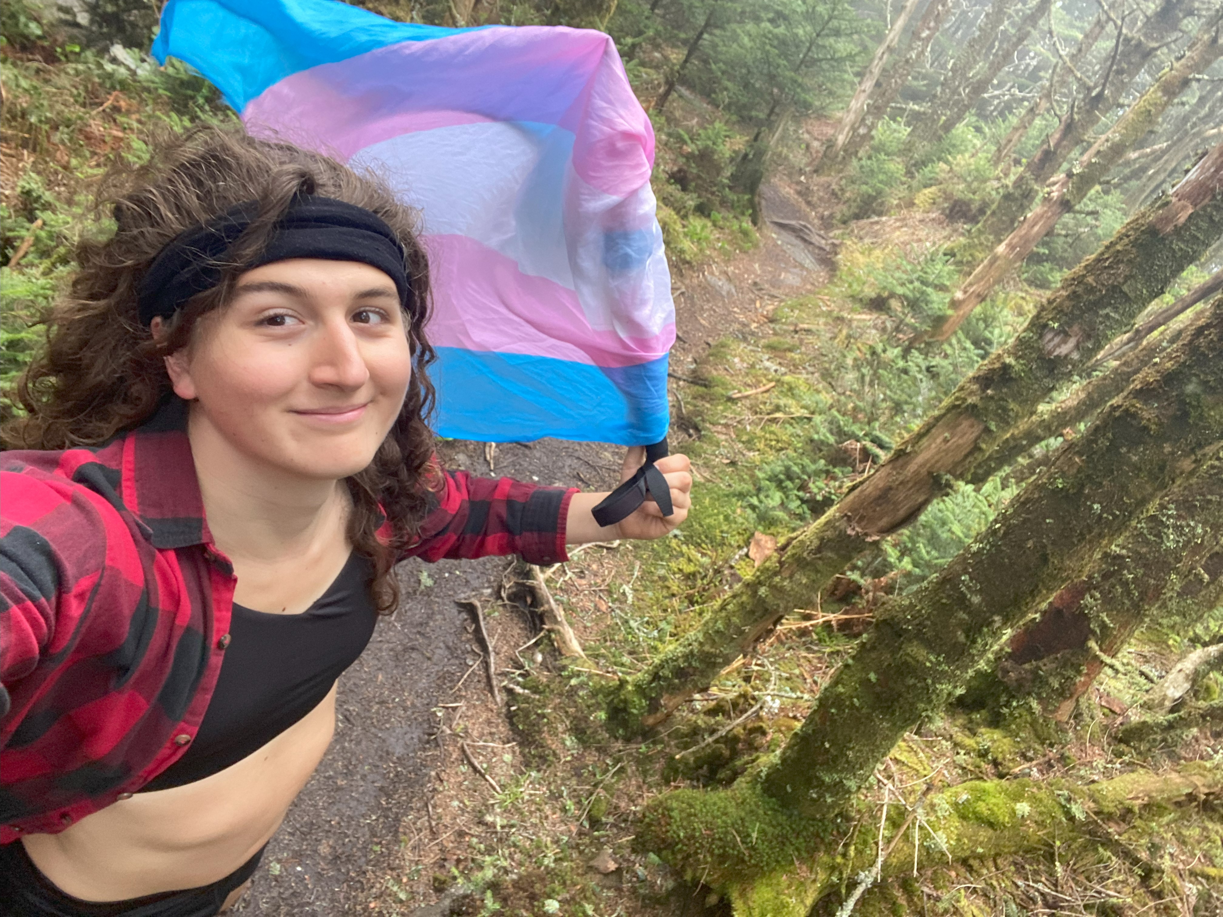
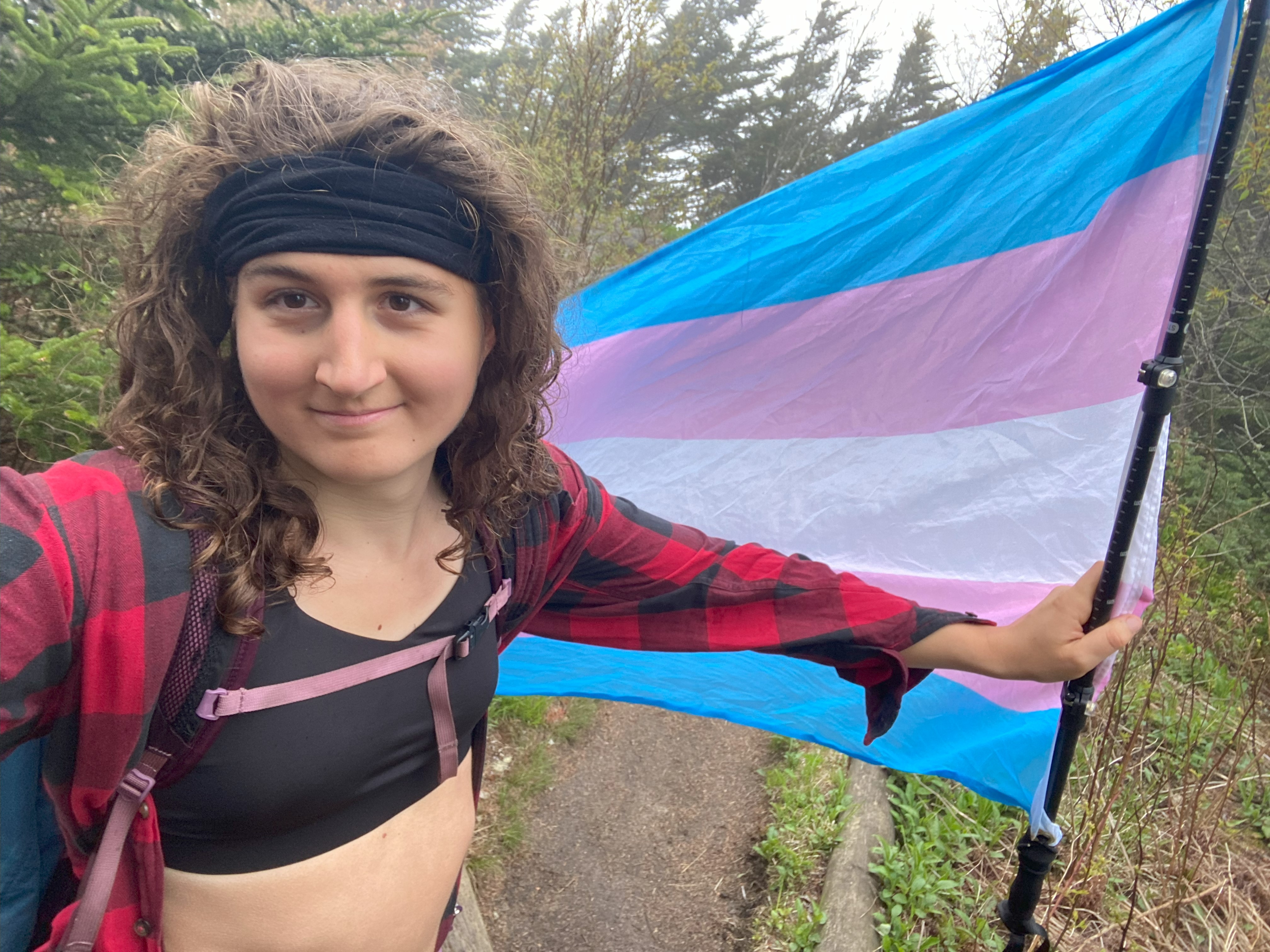
It was my twentieth birthday, the 19th of March, but I remember that day for other, much more significant reasons. The past six months had seen me seriously start to explore my gender identity and expression, and after some setbacks first by being outed to my conservative christian mother as queer and being forced to go back into the closet, and secondly by the queer-accepting house I went to go live in for the winter being rocked by a mutual traumatic event, I finally had my own gender-identity crisis at the start of March. After a week and a half of serious questioning I broke down crying while on an evening walk and admitted to myself that I was a woman, a transgender woman, a transgender lesbian woman, and that I couldn't continue living this game of pretending to be someone who I was not. The world is not kind to trans people, and every trans person has a phase in their self-discovery process where it hits them just how much this is true. For many, this is through getting harassed in public for the first time, for many others, it's through finding out how inaccessible a lot of out healthcare is. For me, it was being outed to my mom and having her insinuate that I might not have a home to come back to if anyone else in my family found out. Combine that with losing a friend I was living with, along with all the other things that go on in a baby-trans' head, and you have a whirwind of emotions - and it was those emotions I was dealing with during my first attempt at this mountain range. It was just a few minutes before I started hiking that I settled on a name for myself: Veronica Erika Rebecca Ashcroft, initials V.E.R.A, which fit nicely with my desired nickname, Vera. This mountain range has special significance to me because it was the first time anyone ever said my name out loud, and because of that, it's integral to the story of who I am
As I drove over to Chattanooga, I was determined to return and retry at cranking my way through the Southern Sixers, but I very quickly discovered that it is very difficult to actively pursue a major hiking challenge while working a manual labor job that has you working/living/camping outside for nine days in a row. Combine that with the fact that I got into a relationship with someone in Cookeville, and I didn't have any time to peakbag. But that person was going on a trip in July, and one of my trail-crew mates wanted to backpack this with me, and so I was gearing up to try again on one of our breaks when I got outed to my mother a second time, and was subsequently forced to come out to the rest of my family. Needless to say, I did not have any spare time/energy to take on this hike. Flash forward to a few days ago, and I had everything ready to go ahead and hike, only to get literally no sleep the night before, and having to trudge my way up Flattop instead (which I could barely do due to sleep deprivation). Thus, not only did this range have a tremendous amount of personal significance to me, but I had also tried and failed to hike it three separate times in the last two and a half years. This time, I was determined to make it work - and this time, it did
Celo Knob, Gibbs, and Winter Star
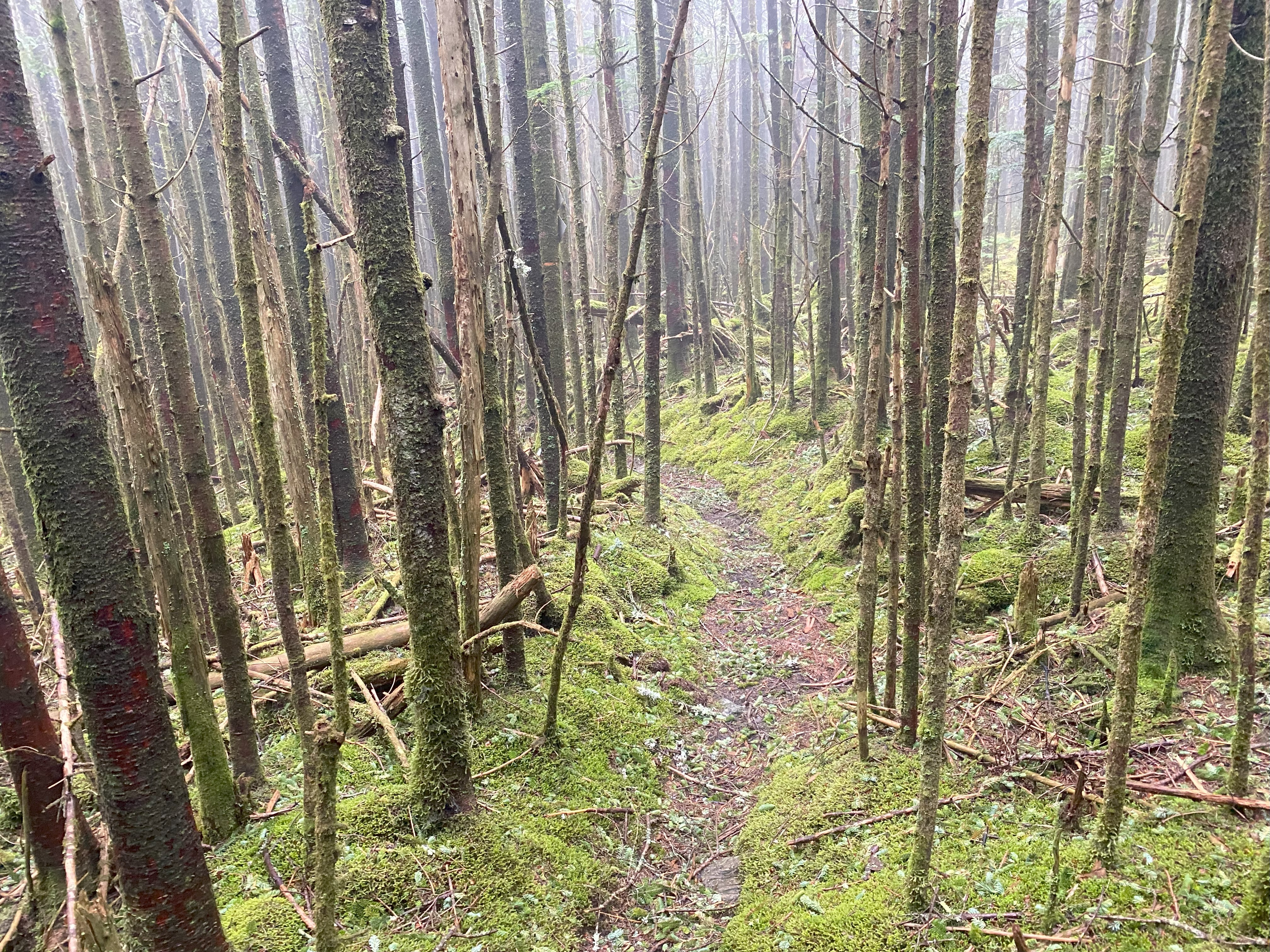
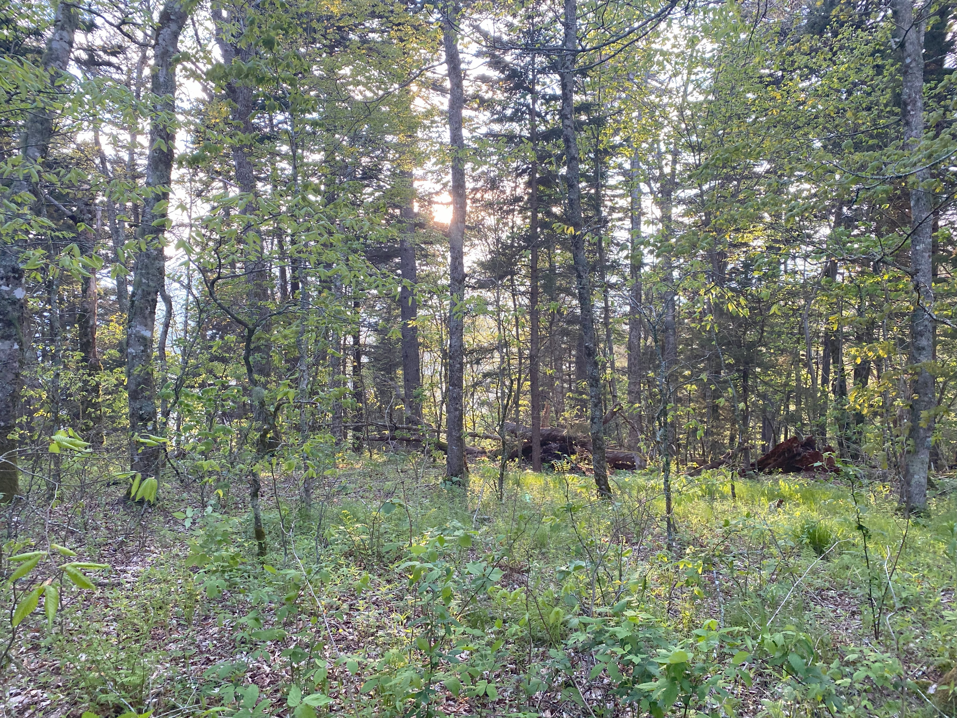
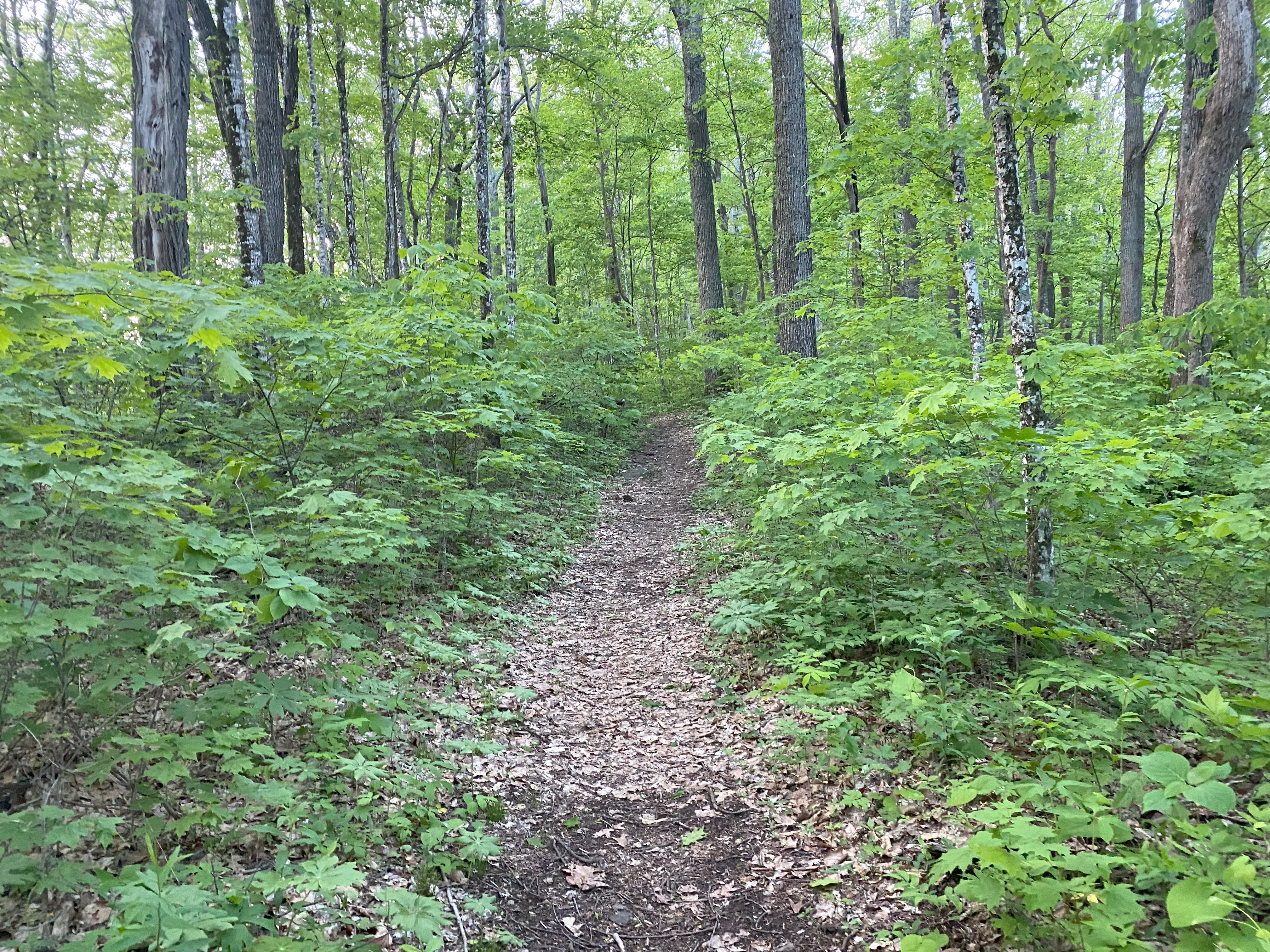
Rise and shine at 04:08 where I threw on my clothes, did a quick last-minute gear check, and downed a few things of apple sauce, and on my way to bike from the Big Butt trailhead to the Celo Knob trailhead along 197. Ten miles, of which the first nine were all either very or slightly downhill, which was so fantastic given how tired I was and how much of the day I had ahead of me. Walking up the road to get to the trialhead was a bit arduous with the bike (since I really can't bike uphill), and I got the pleasure of having a dog bark at me before the crack of dawn! Anyhow, after stashing my bike next to the parking area, I slipped in the mud and landed my left hand in some shit. Not animal shit, human shit. Some absolute asshole decided to poop right on the side of the road and not even make an attempt to bury/cover their shit. Absolutely infuriating way to start the hike. Luckily there was a stream nearby to wash my hands on, and on I went. The climb up to Celo was a decent trail, resembling more an ATV path for most of it, but nevertheless providing gradual inclines. Up at Celo I followed a heard path to the summit, and then onward to Gibbs, where I did the same, and then dropping a bit to Winter Star and getting one there! These three were straightforward and it was very nice to be hiking in low forties temperatures - gotta love that 6000ft+ elevation climate!
Cattail, Balsam Cone, and Craig
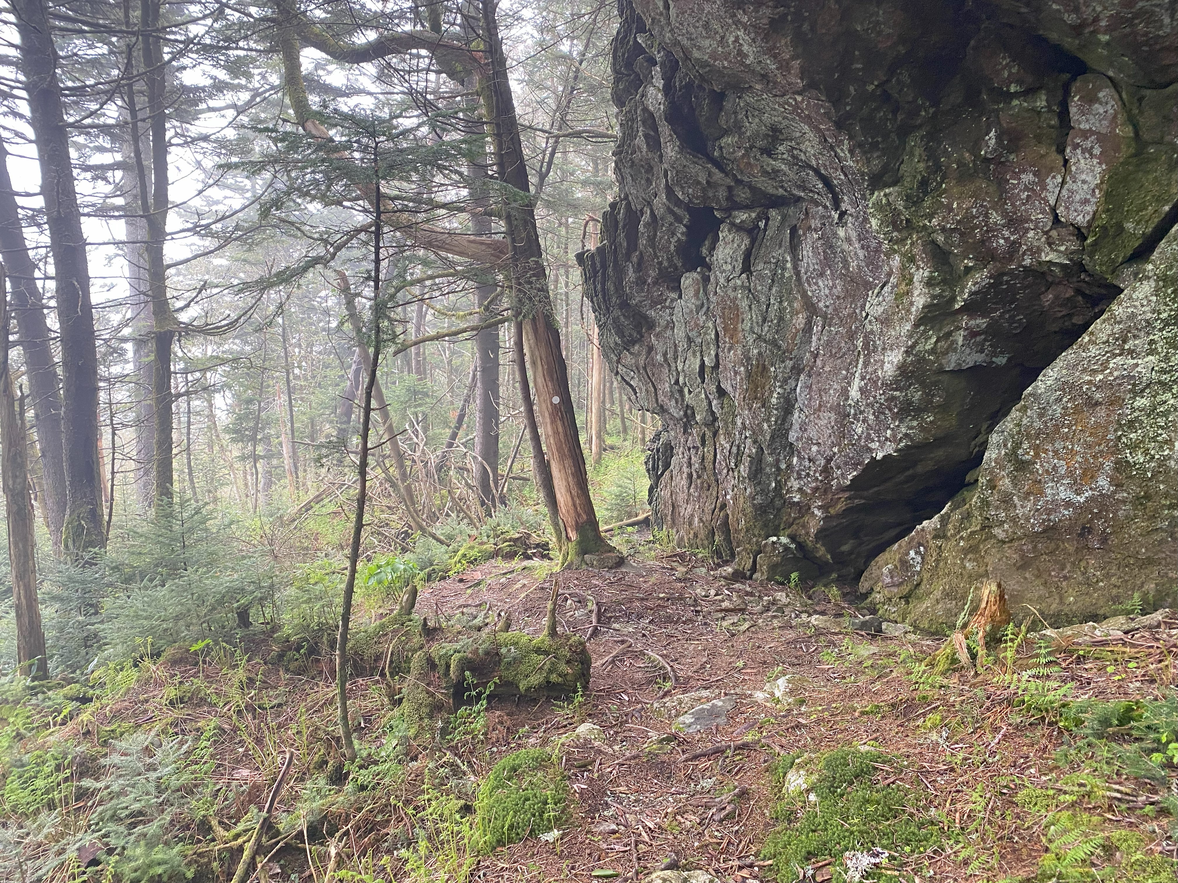
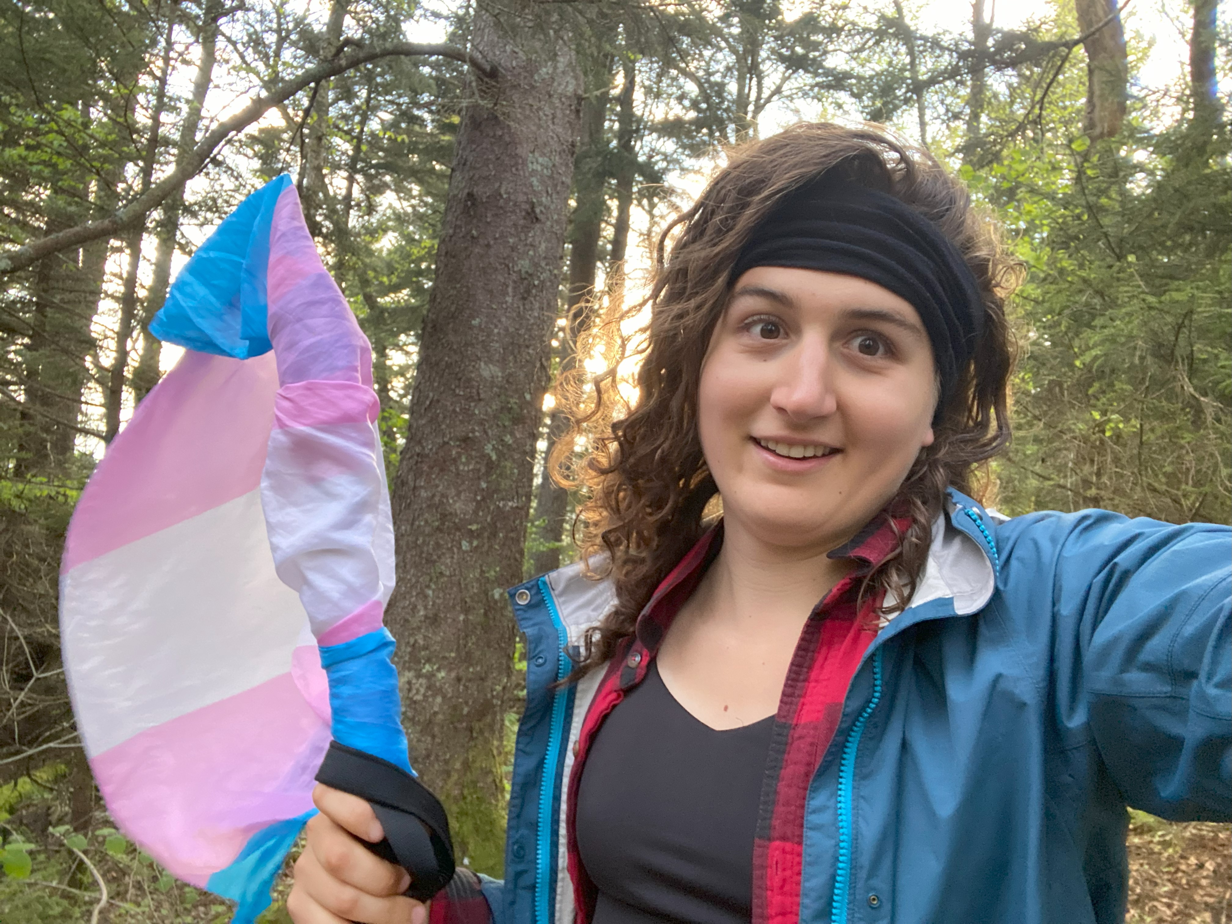
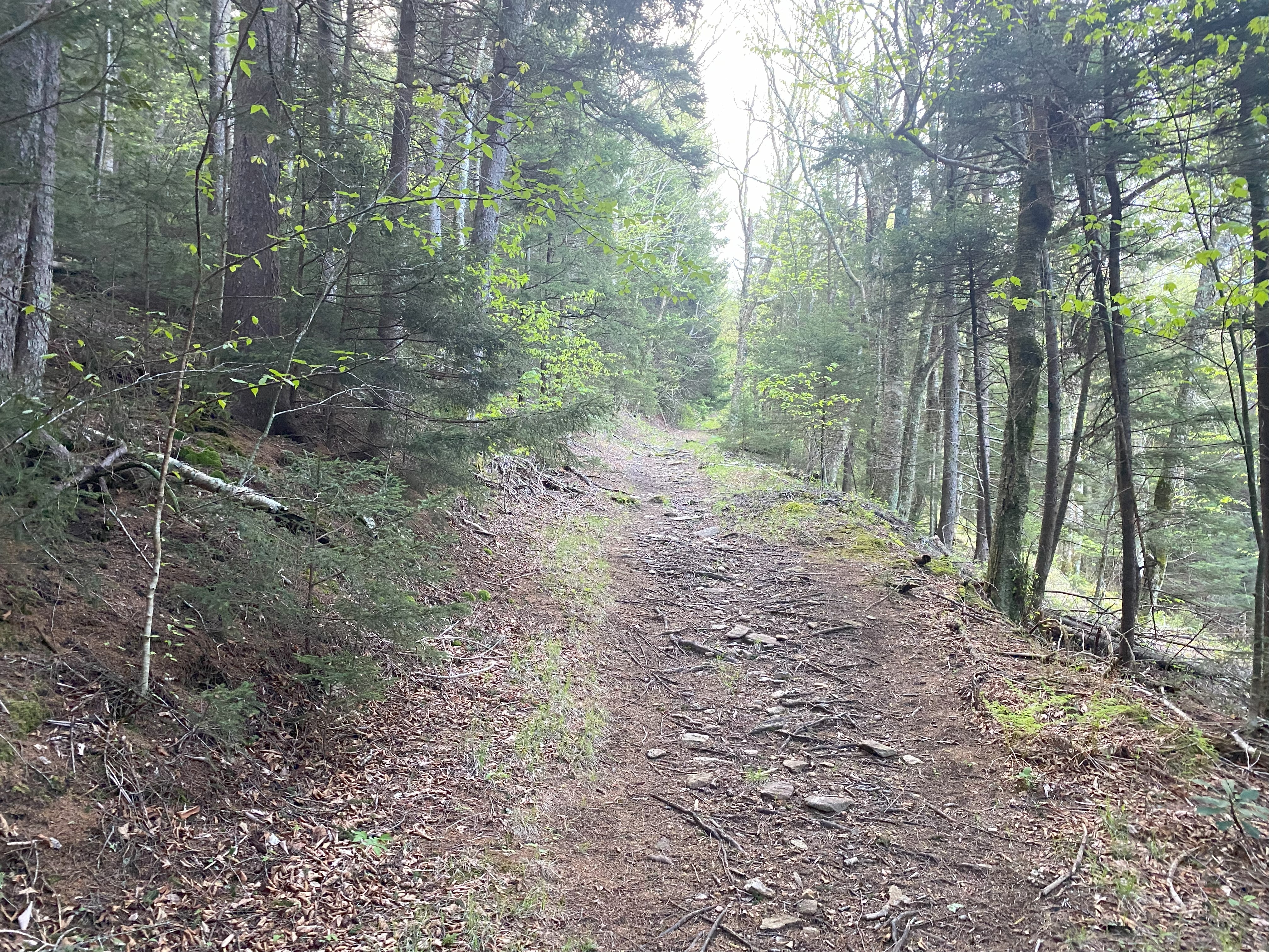
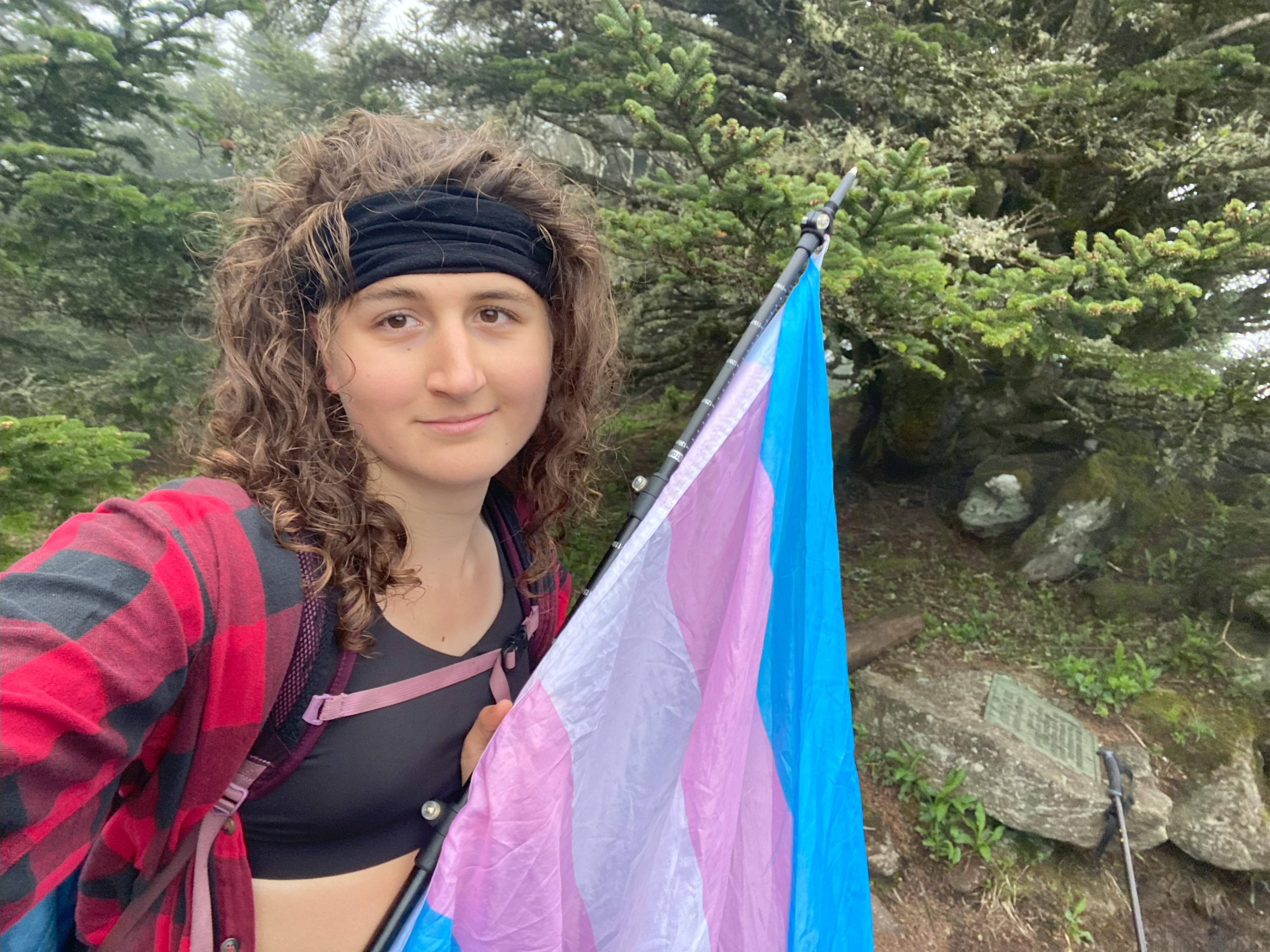
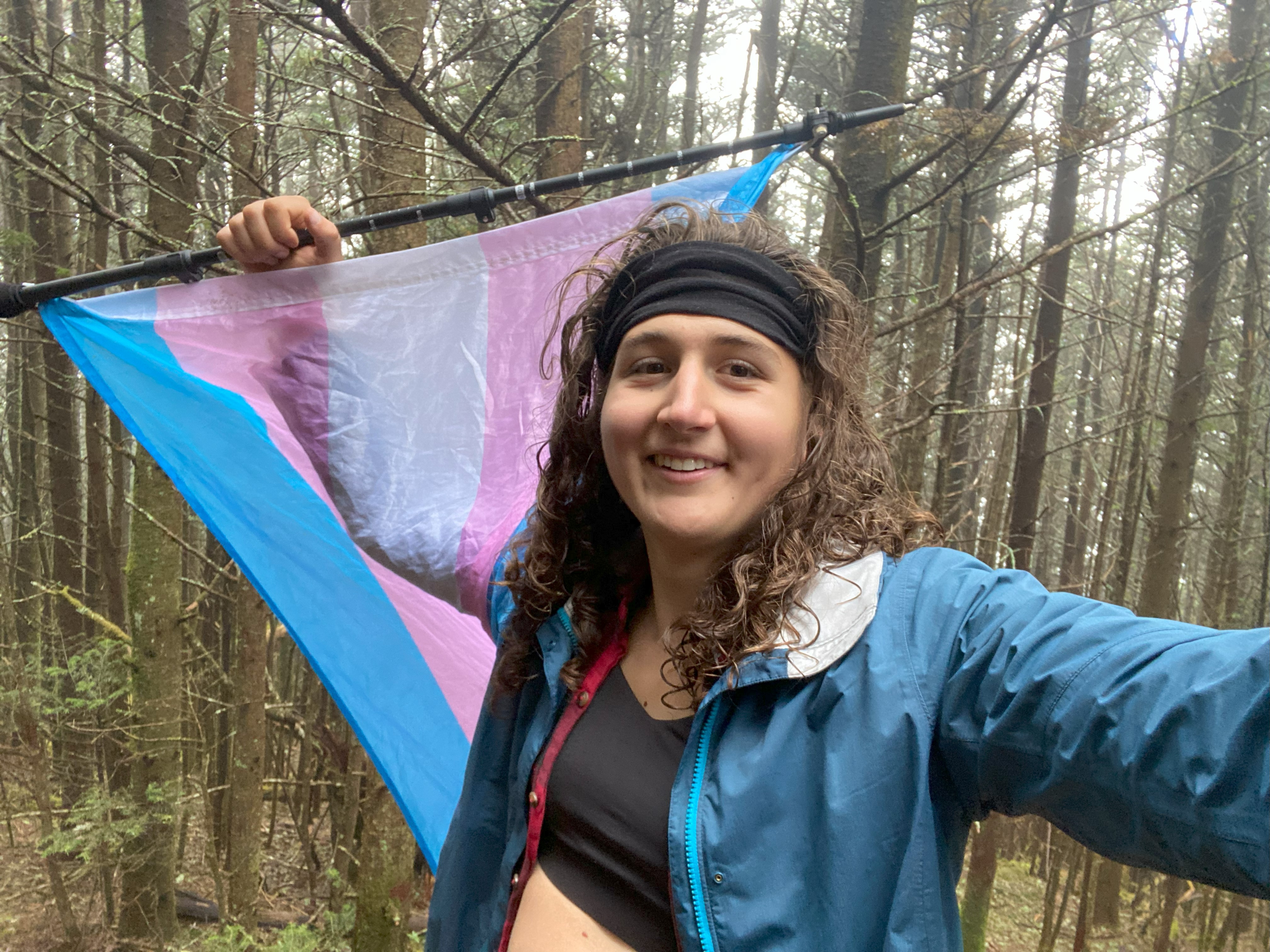
Going along the ridge, I encountered my first person of the day making themselves a meal just before Cattail peak. I didn't say hi or anything, since my mind was entirely in the zone and socializing can just be tiring sometimes. Anyhow, the ridgeline travel over to Craig was a lot of ups and downs, but nothing too up and nothing too down either, it felt more like riding the ridge rather than hiking the ridge, which was a nice state of mind. Ate shit trying to go up a handline on the side of Balsam Cone I believe, so although the trail is sketchy in parts, at least you won't have to bring your own climbing gear! And ngl, I fucking love the selfies I got on Craig, and if the progression of the day's photos shows anything, it's that miniscule lighting and posing can make a massive difference in how you look - I don't understand it either, but it's how it works unfortunately!
Attakulla, Hallback, and Gibbess
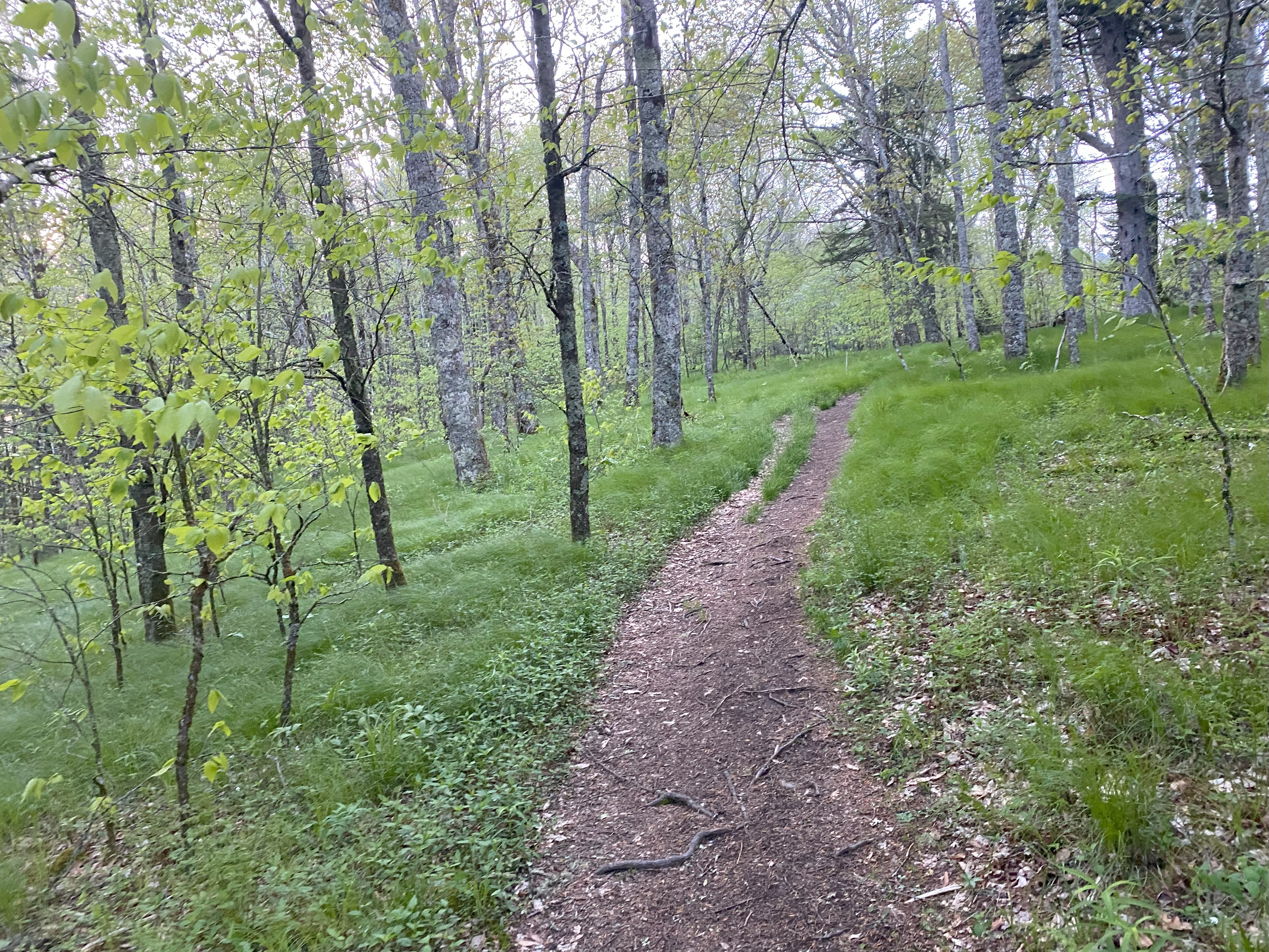
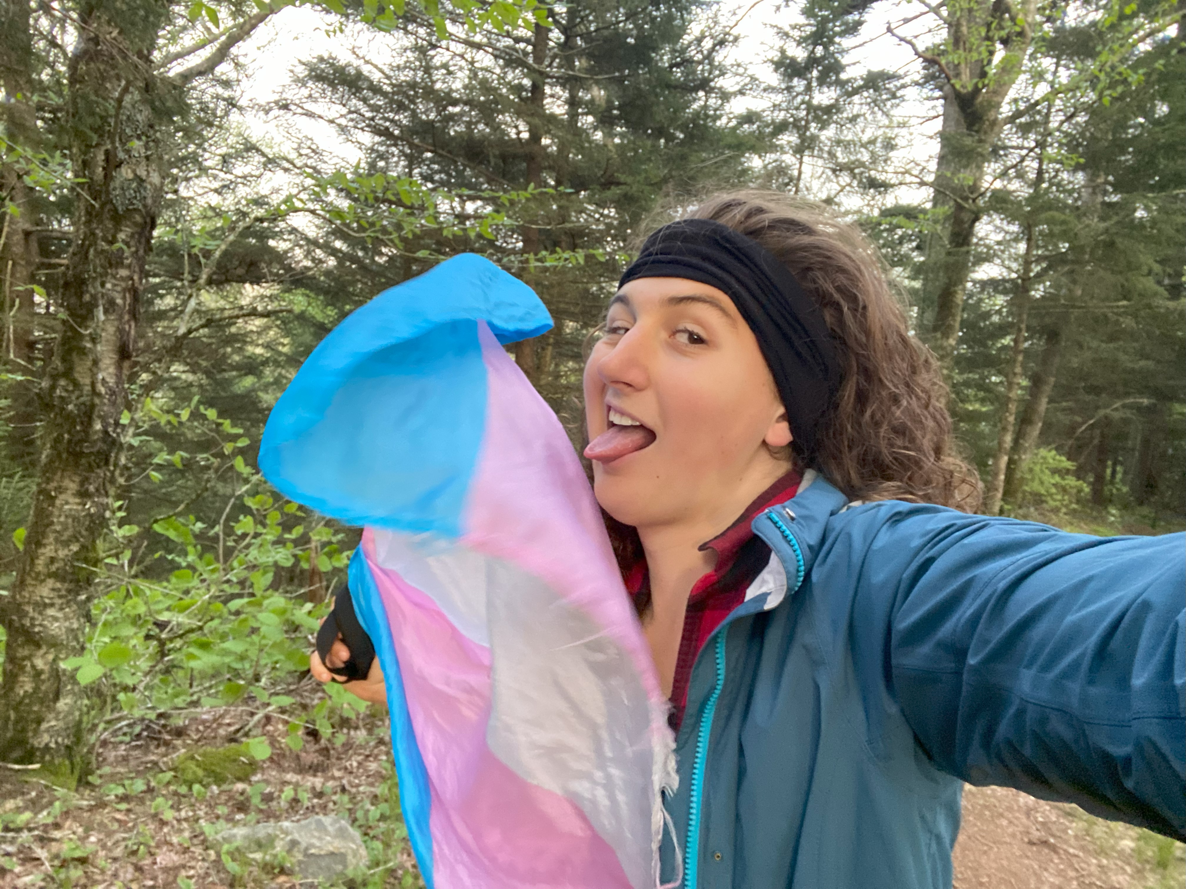
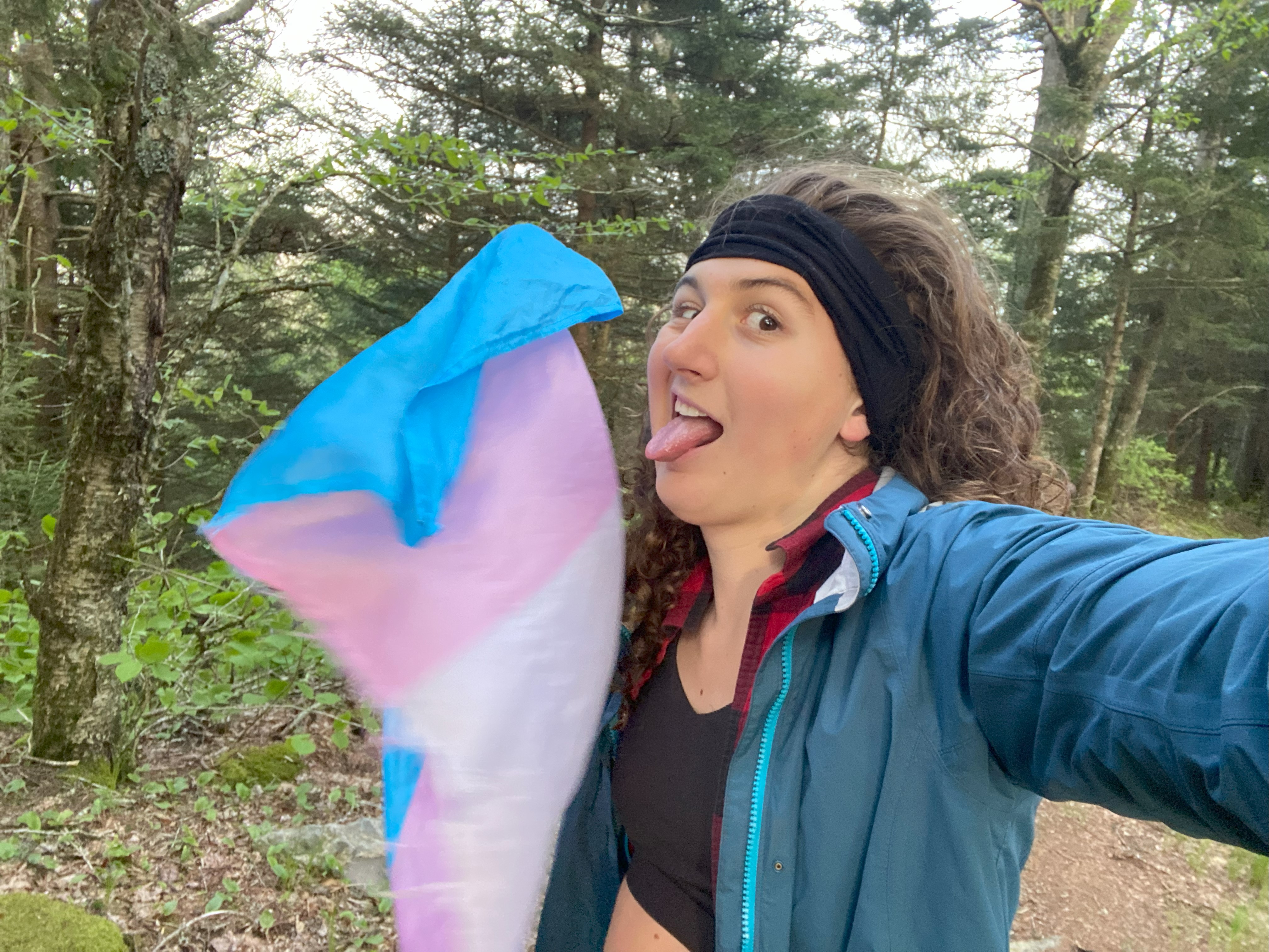
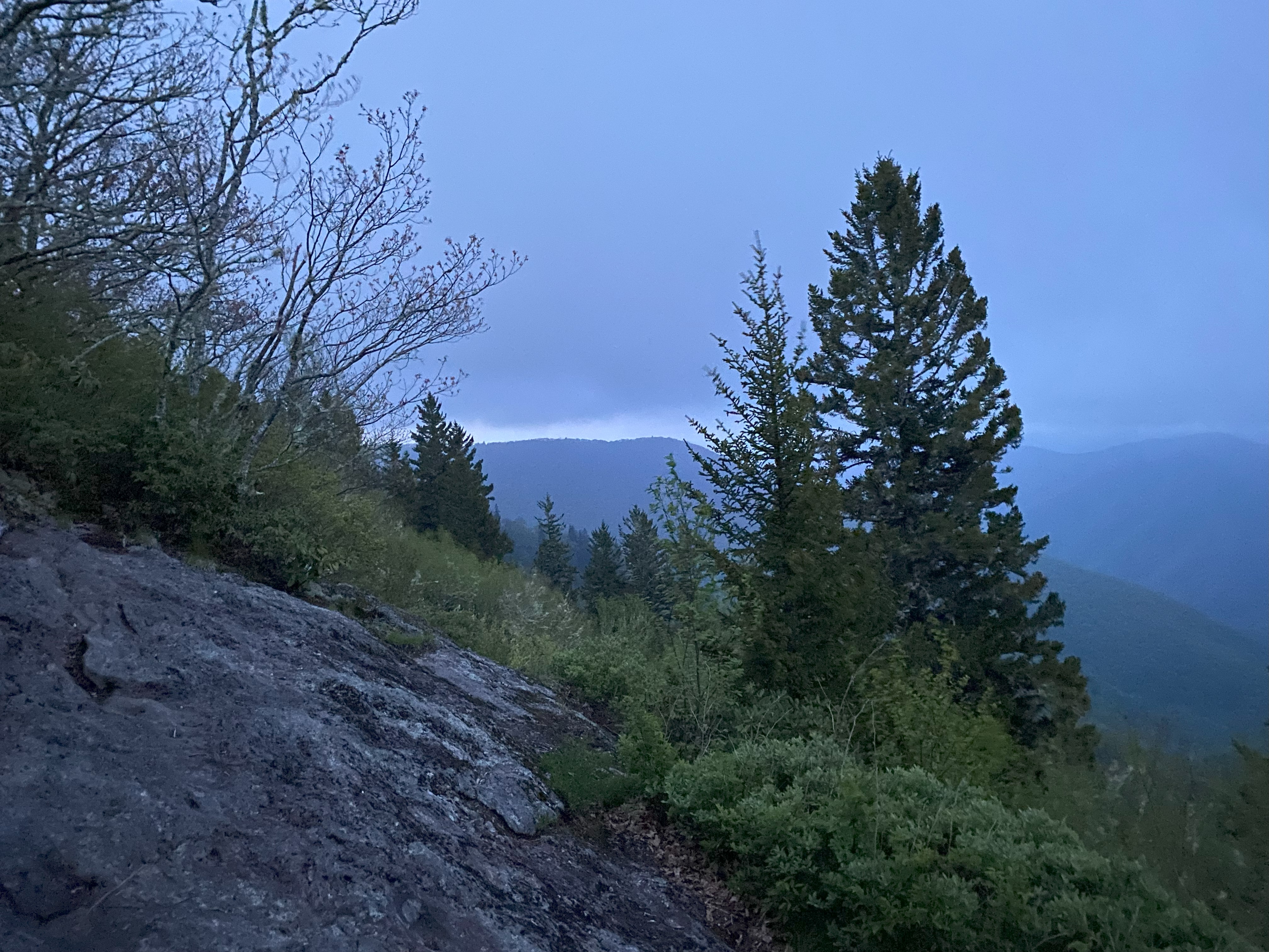
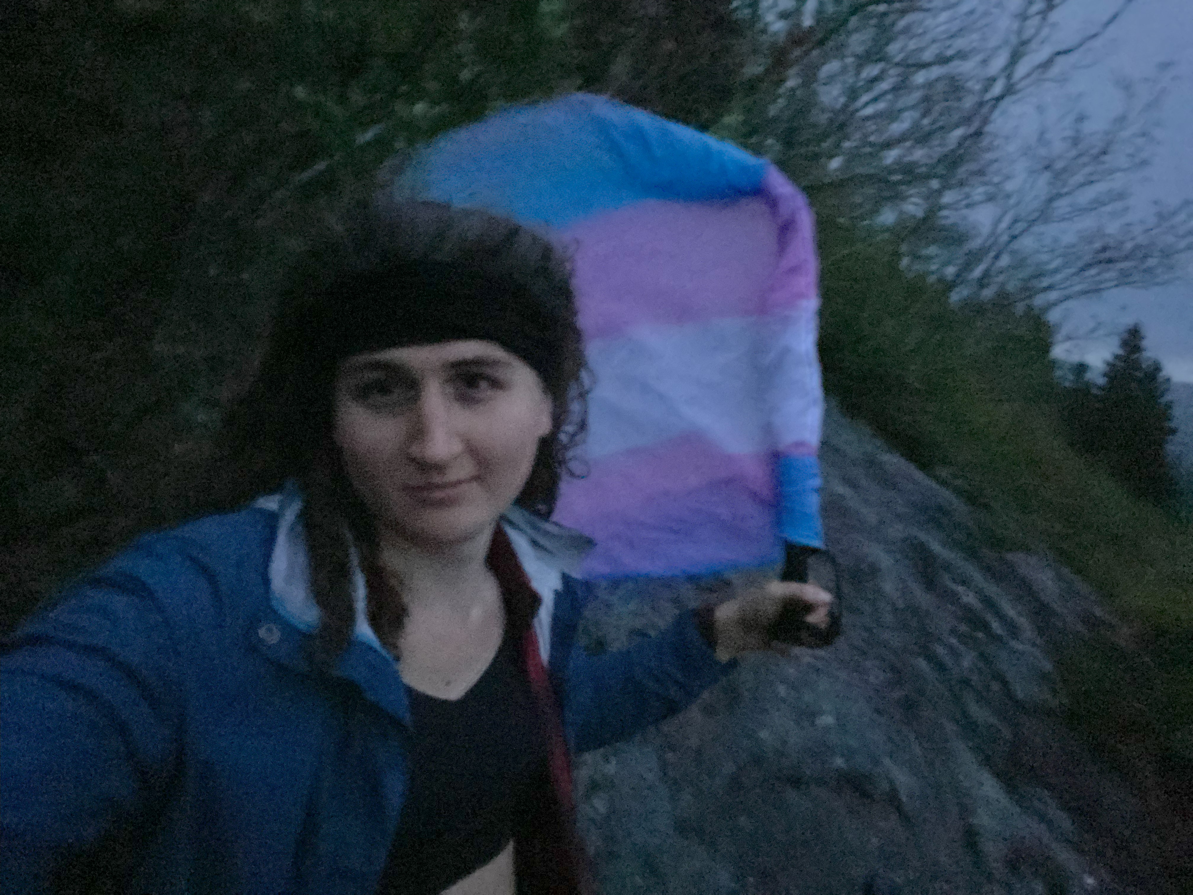
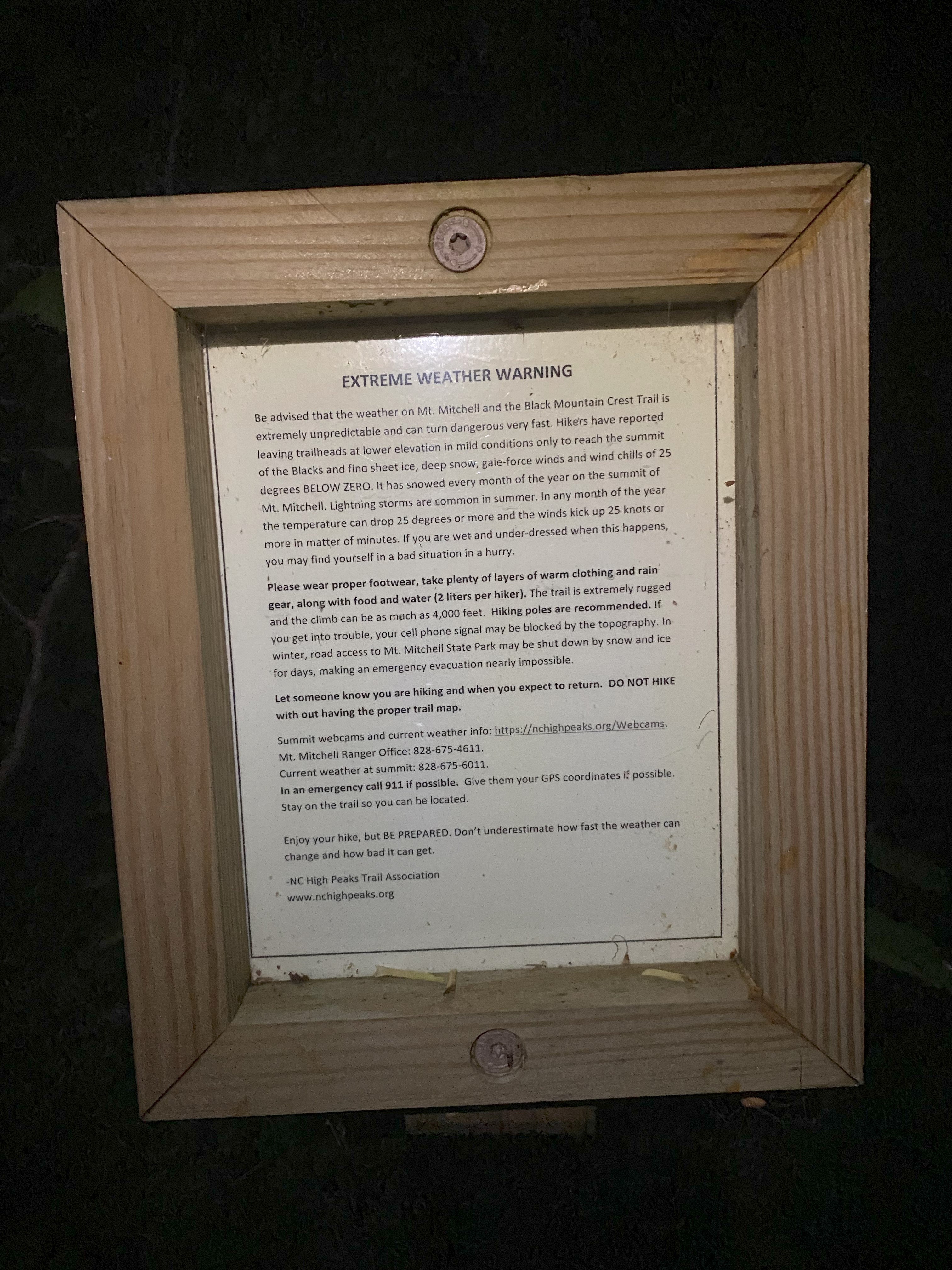
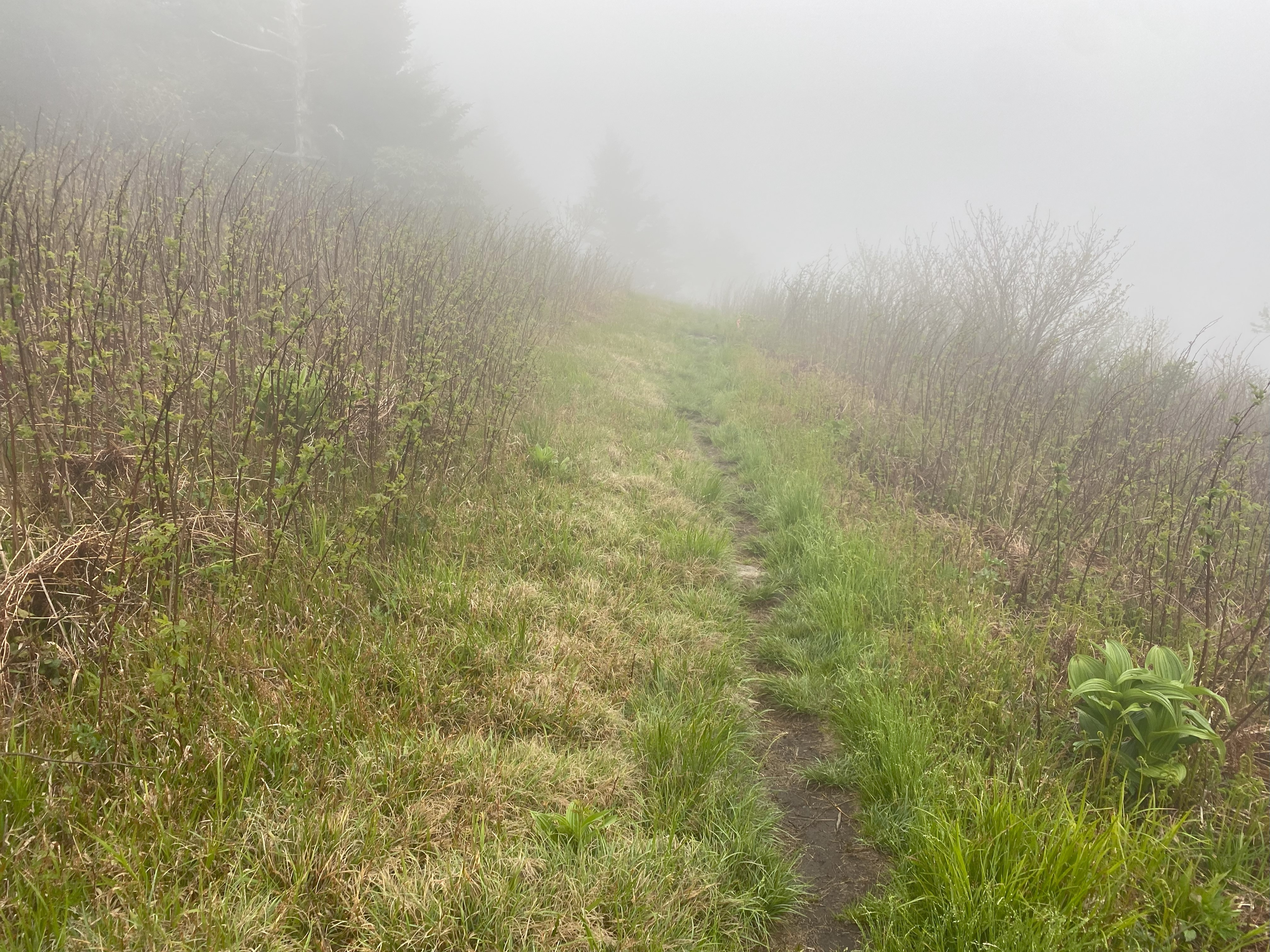
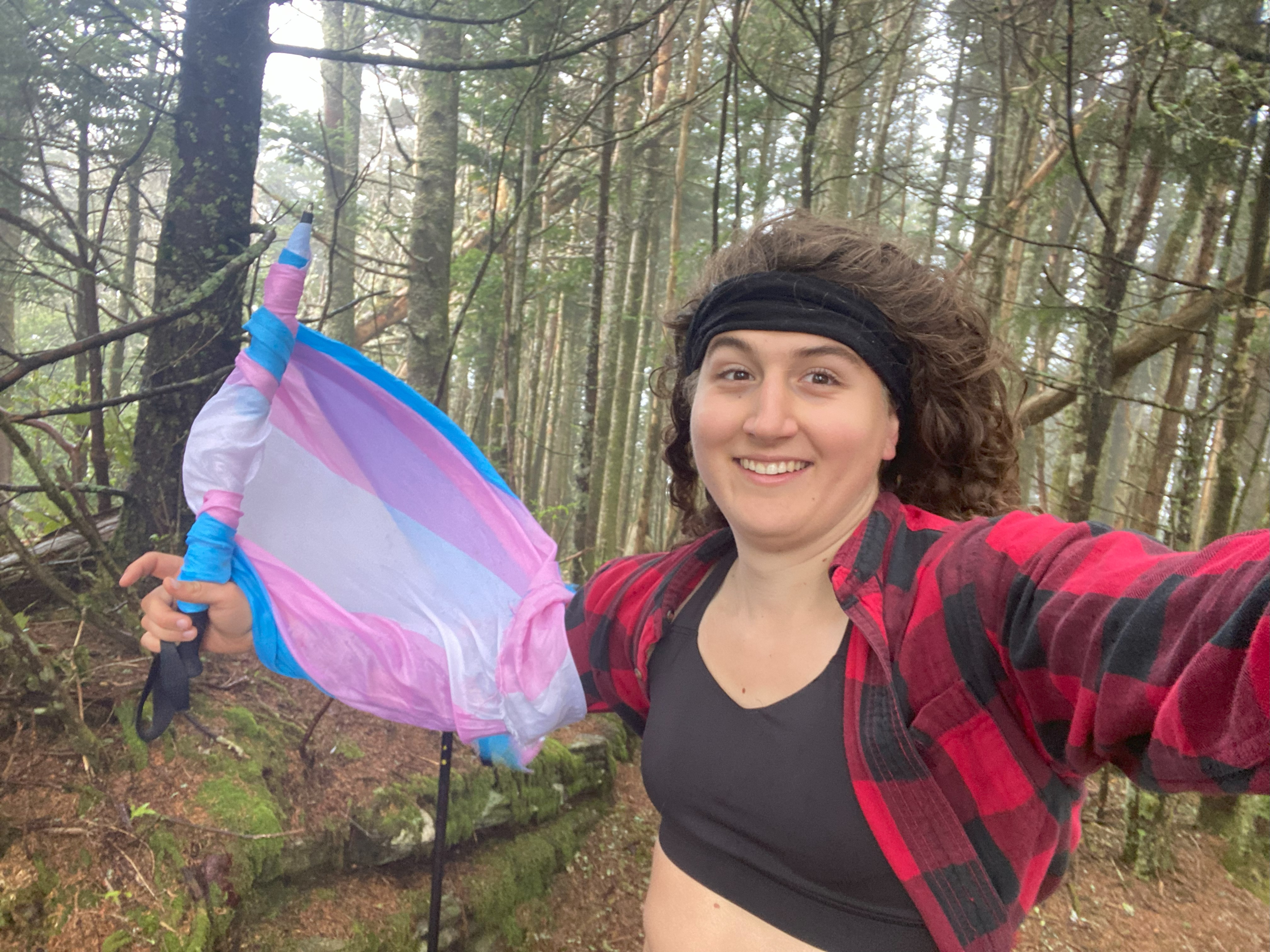
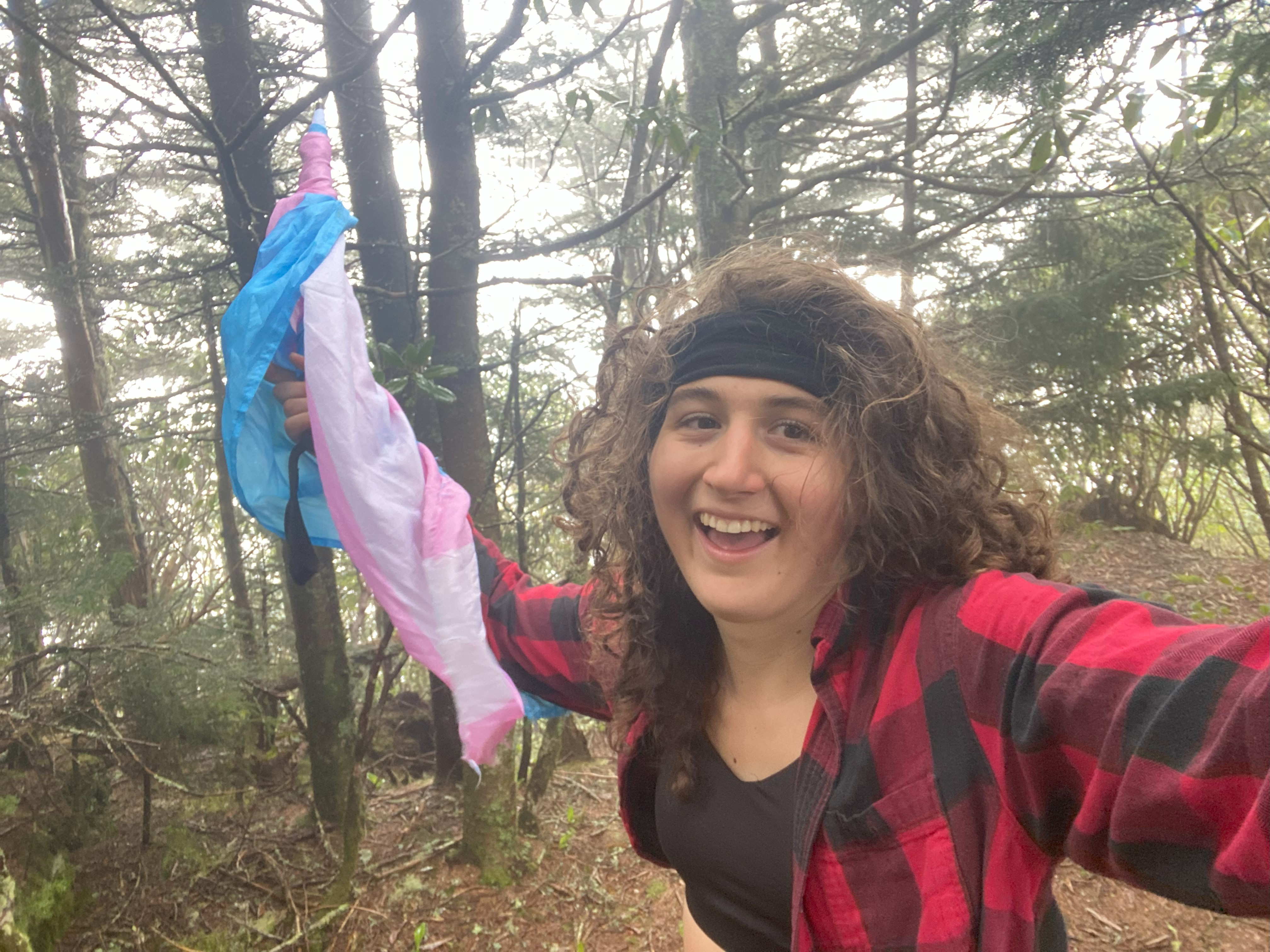
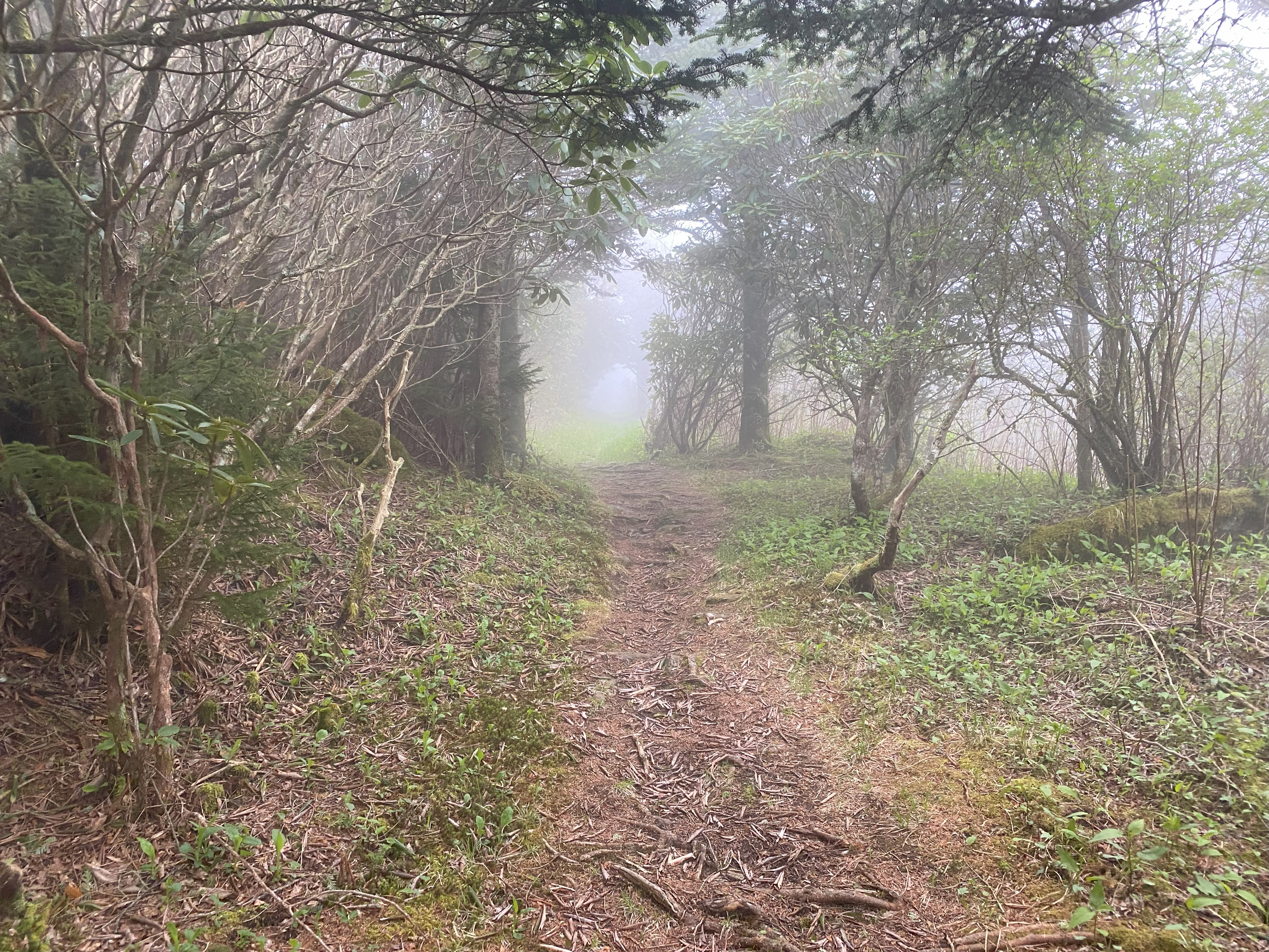
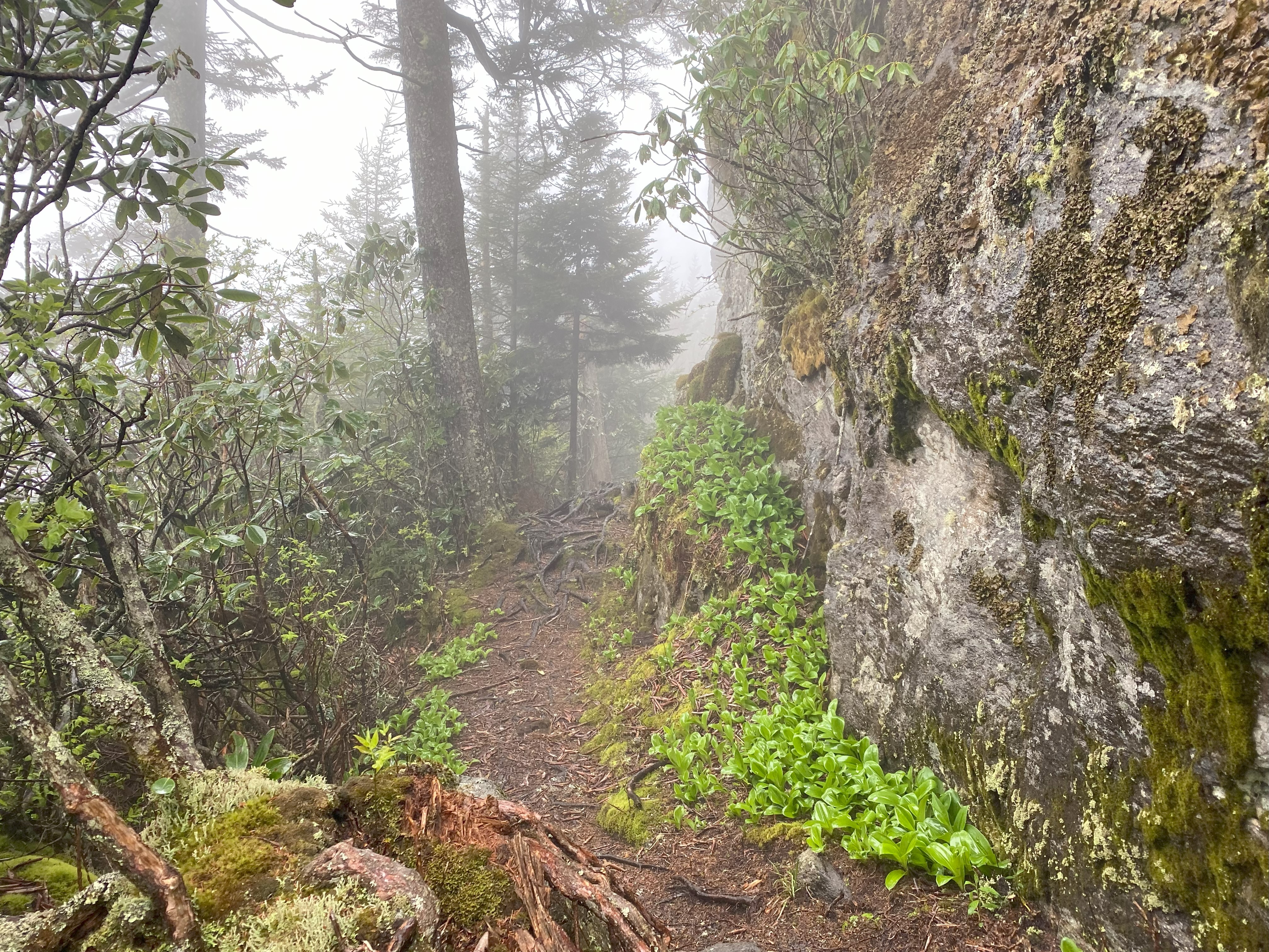
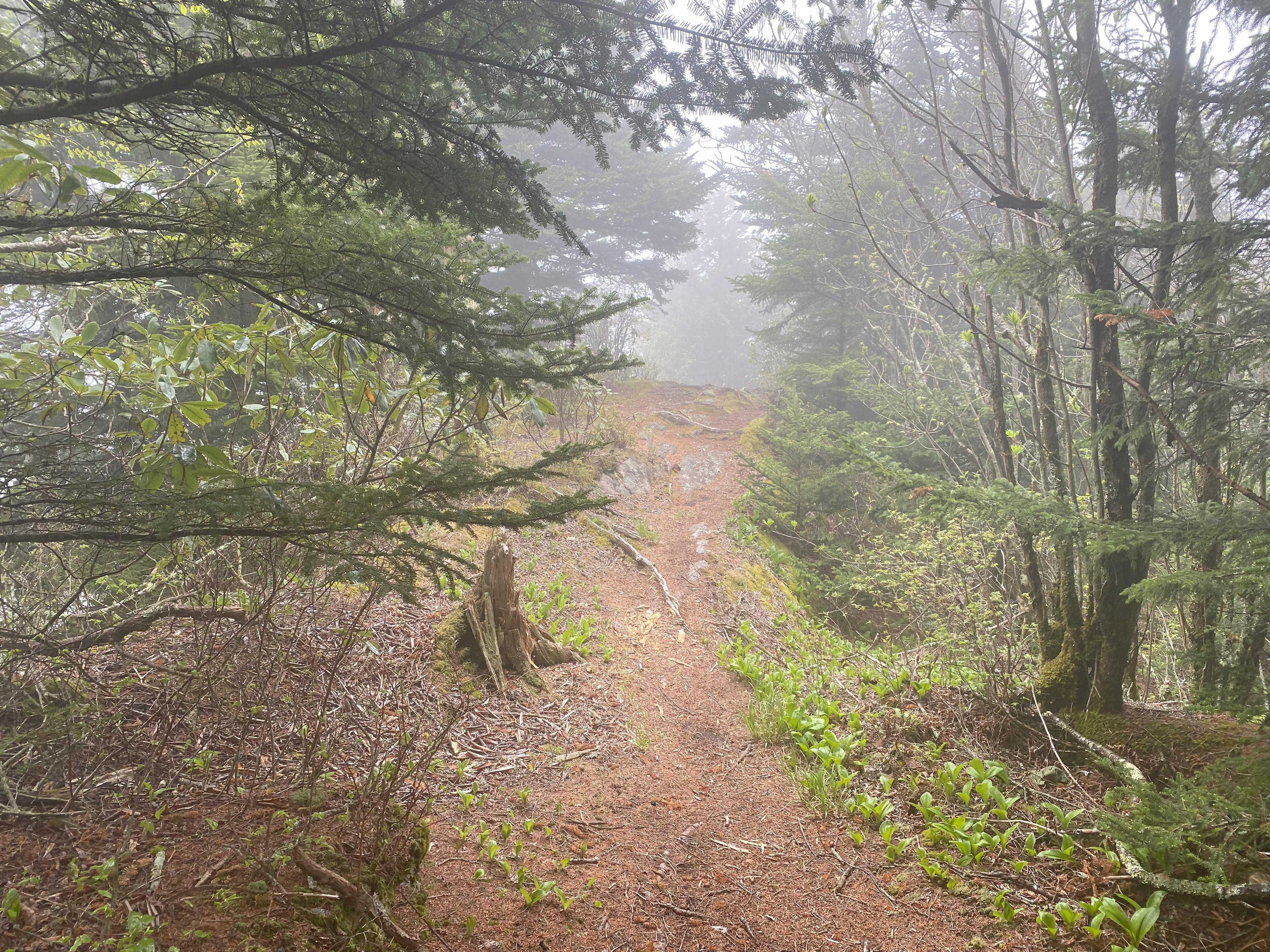
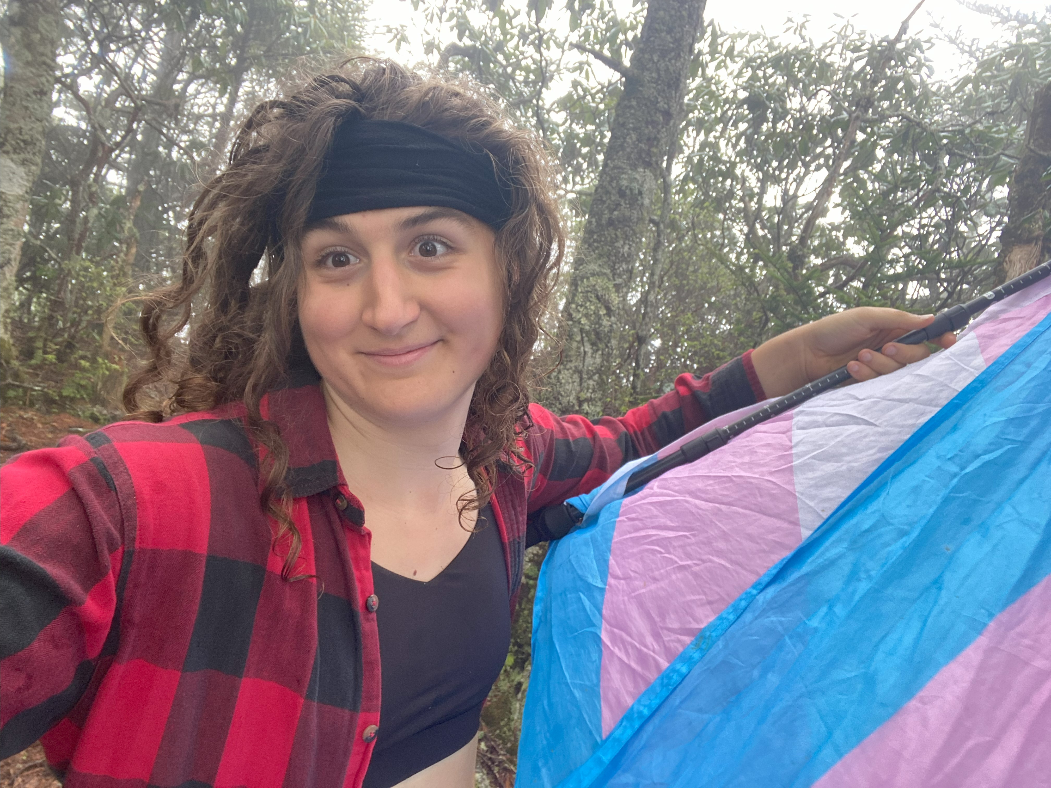
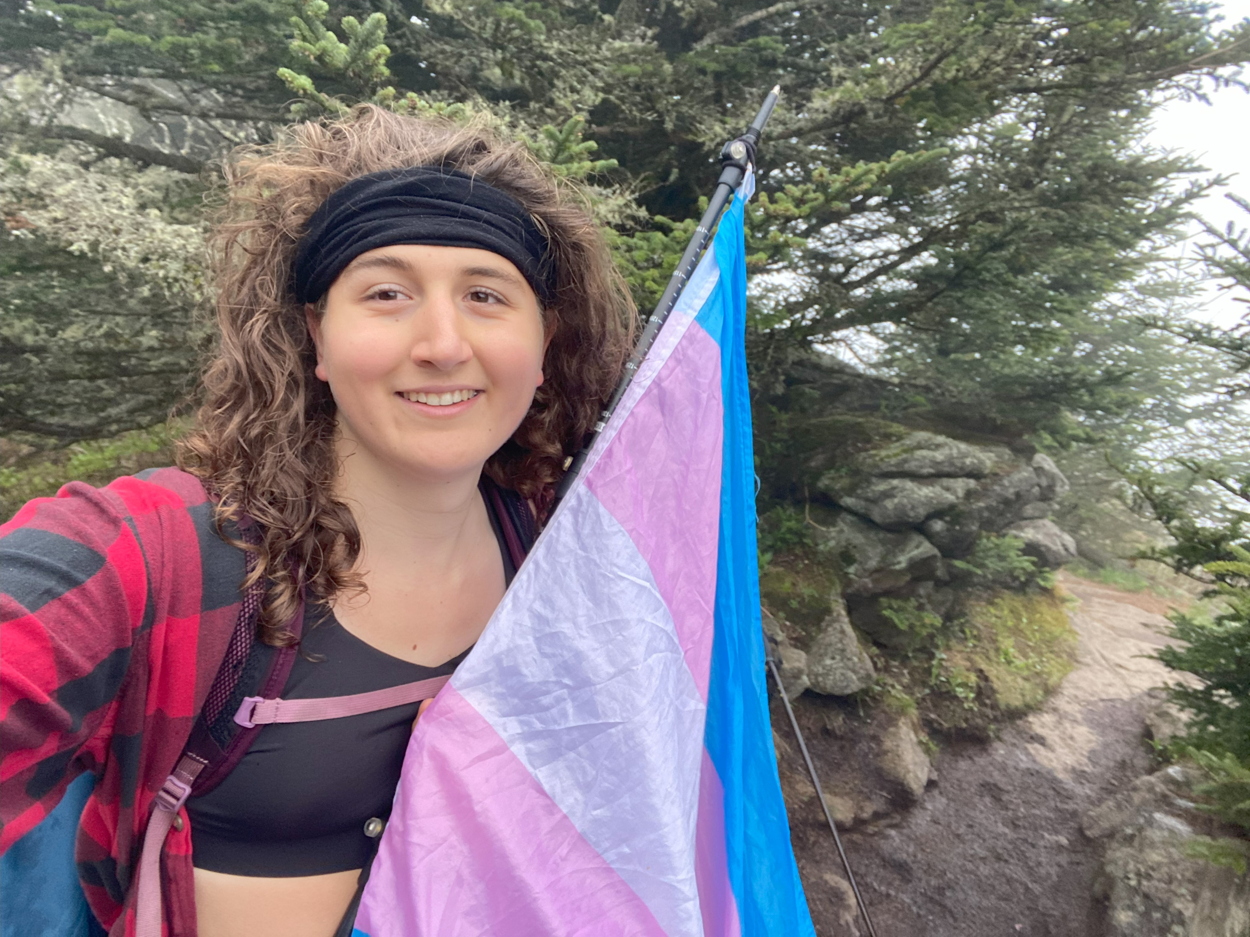
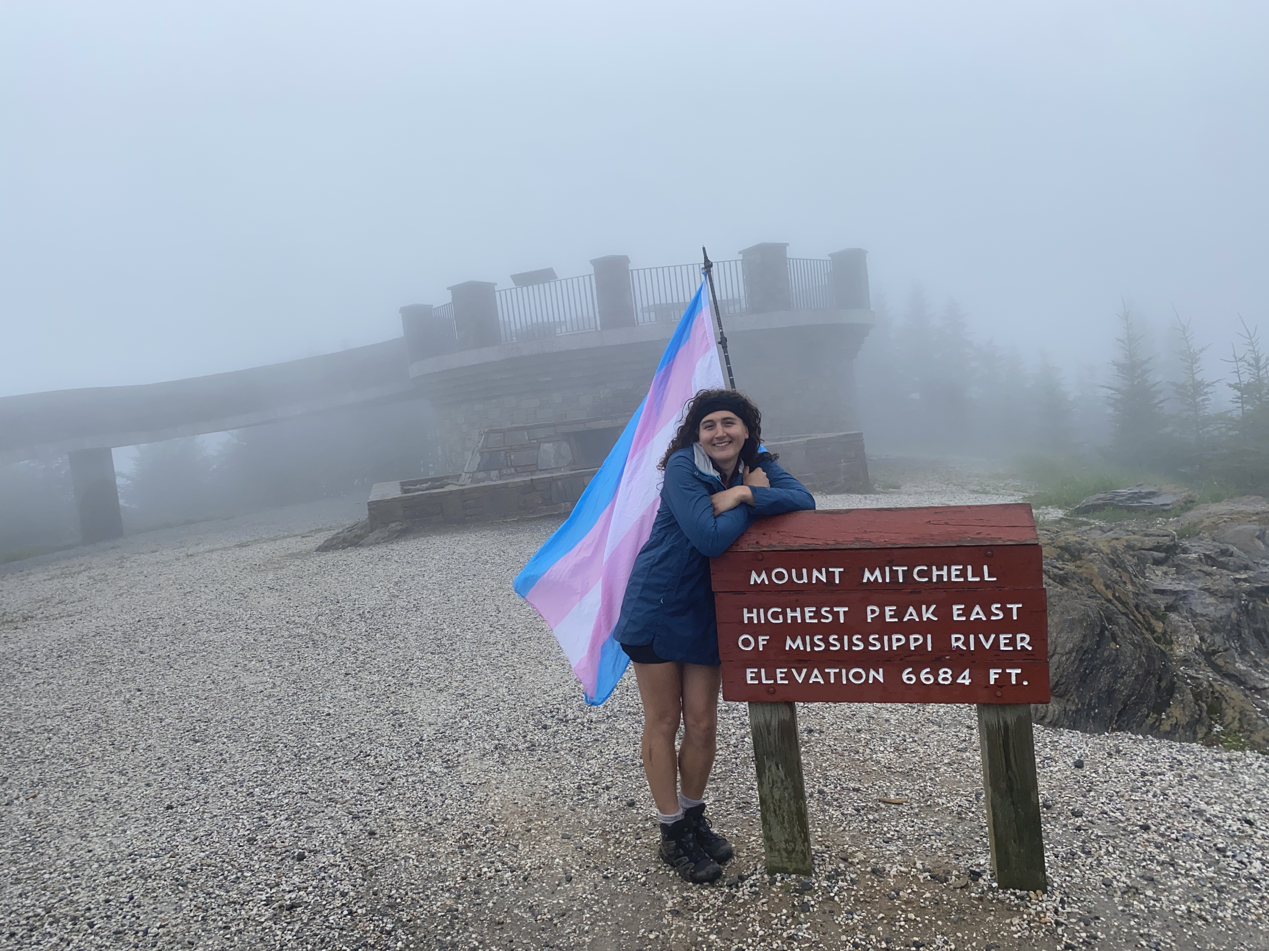
Along the pathways of life I encountered a wise man who told me: "when you climb Mitchell, if it's cloudy at the base, it'll be clear at the top, and if it's clear at the base, it'll be cloudy at the top". This wise man was a stoner I met at an AT shelter in the Smokies who used the colonial name for the mountain, but his words proved prophetic for me. As I started biking I could see every star in the sky, and by the time I was on the ridge, not a damn thing. I got a brief look at some of the lower peaks on the western side of the ridge between Craig and Attakulla, but nothing that could be described as a view all day. No matter, I hike for the experiences, not the views - and considering I was waving my trans pride flag on the top of 14 different peaks throughout the day, perhaps it wasn't the worst thing having bad weather considering how few people there were around as a result. After warming back up in a restroom stall at the Mitchell parking area, eating my lunch, I walked up and got about fifteen minutes of the summit to myself - a rare experience, but one made possible by the mist-rain. At this point, Attakulla was the 3rd tallest, 2nd most prominent, and 1st most isolated peak I'd ever done, making it one of the most significant peaks I've done to date - and what better way to take it on with the longest distance day I've ever done either? Anyhow, after this I made my way along the ridge to Hallback and then up a dirt road to Gibbes, both of which were uninteresting peaks but the going-along-roads thing was a welcome departure for my sanity along the trail
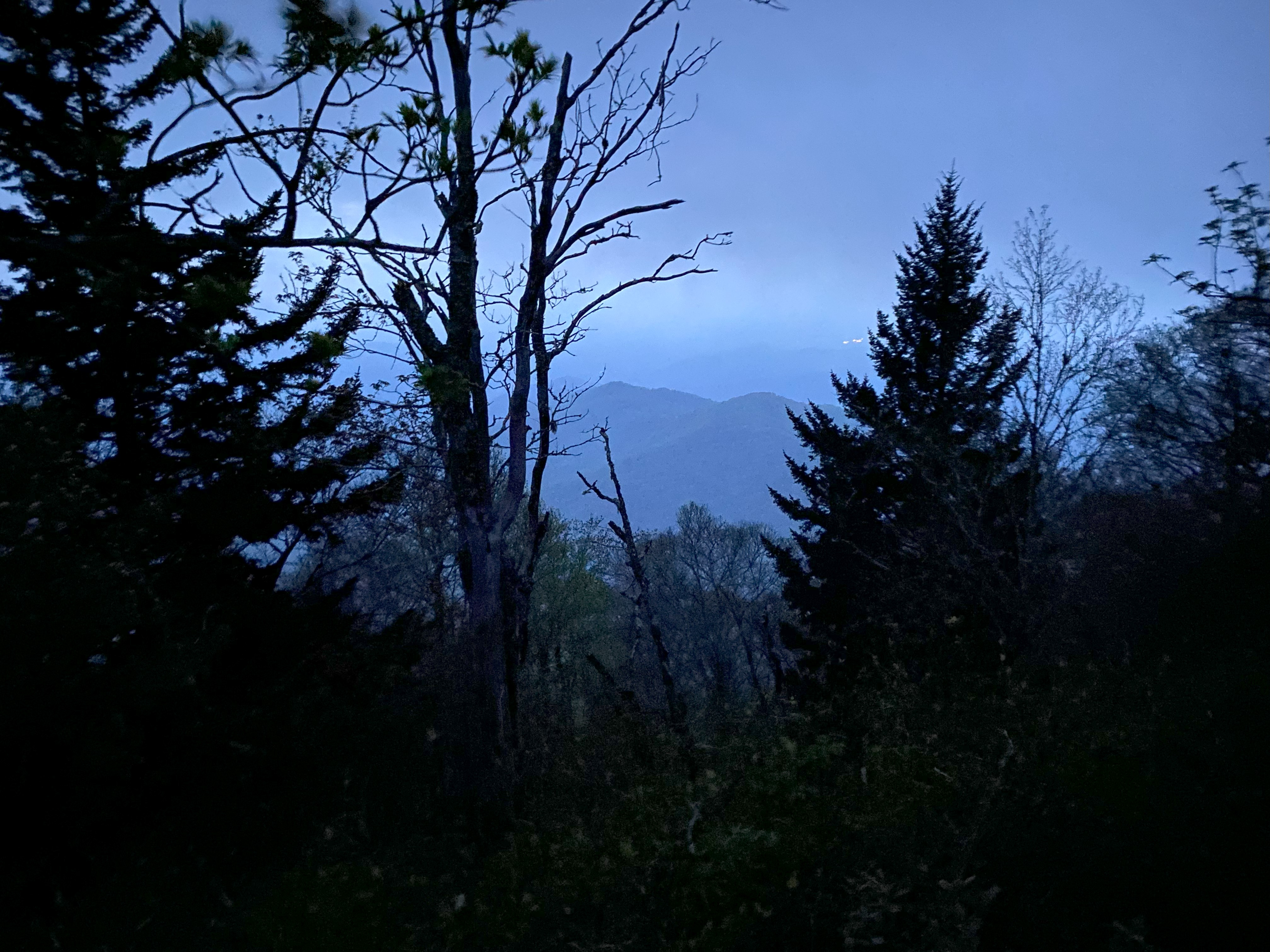
Blackstock, Misery, and Big Butt
What you're supposed to do from Gibbes is hike down the road and around the peak toward Potato Knob, as not to cross any private property on the ridge. What you're not supposed to do is let your hair down to cover your face and dash accross the yard of someone's house next to the peak and into the woods, where you'll find a heard path leading over to Potato Knob and down to Blackstock, cutting off a significant bit of the elevation and distance of the trip. Follow the law, for what did God put us on this beautiful earth for but to stringently adhere to violently-enforced private property laws to make sure some rich asshole doesn't have to look at poor people hiking on a range that has had significant traffic for decades before they build their lame-ass development on top, and installing security cameras to make sure people feel afraid to go there? Nothing, of course, because ask any Christian around these parts and they'll tell you - God loves forcing people to obey bullshit rules. My anti-religiousness aside, the hike over to Backstock was nice, and the drop over to BRP was delightful. Up to Point Misery and this is where I started to fucking lose it - I get progressively more lost with each passing photo, lmao. Anyhow, sunset was on Point Misery, and Little Butt provided the last bit of light. I was hoping to hit Big Butt before dark for memory's sake - remember the first attempt at the hike? - but that didn't happen. Down off of Butt I was doing surprisingly fine for running on pure adrenaline and ibuprophen. Getting back at 10:26 for just under 18 moving hours with 8200ft of elevation gain, 24 miles hiked, and 10 miles biked - a long day, for sure, but a hike that was worth the wait :)