Cowpen Mountain, Tatum Mountain, Springer Mountain, Big Bald, and Tayahalee Bald: June 2nd-4th, 2023
Cowpen Mountain, June 2nd
For Cowpen, I took the Three Forks Trail up from the south. I've read trip reports that describe the dirt roads leading to Cowpen as requiring high-clearance or 4WD, and that's just flatly not-true. I drove from the east during the ascent and down to the southwest for the descent, and the whole thing was exceptionally well-maintained for a dirt road. Maybe it's just a bunch of people from Atlanta saying that, but whatever it is, it makes them sound like city-slicking pansies. Anyhow, the Three Forks Trail is pretty nice, and I took it to the north side of the ridge, and made the uneventful bushwhack up to the summit. Decent hike
Tatum Mountain, June 2nd
For Tatum, I went from 2/52 up to Tatum Lead Road, which looks like someone's driveway but which is actually a public-access OHV road, as listed on ont of the signs there. It was totally drivable up to Tatum in dry weather, but I would stay away from the last 0.1 miles if it's wet. Also, the summit is literally someone's house, so I would recommend laying low or just getting as far up the road as you can!
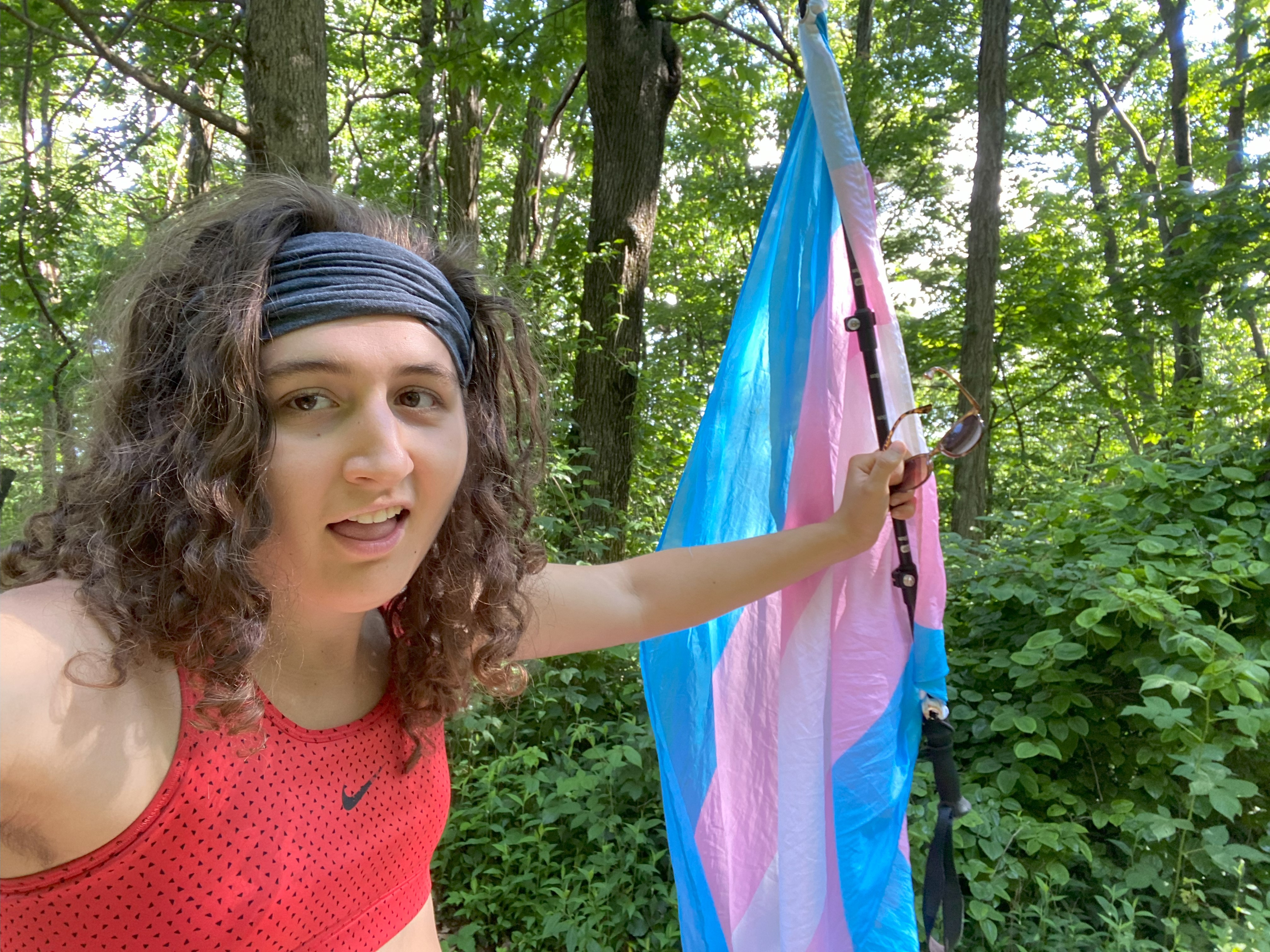
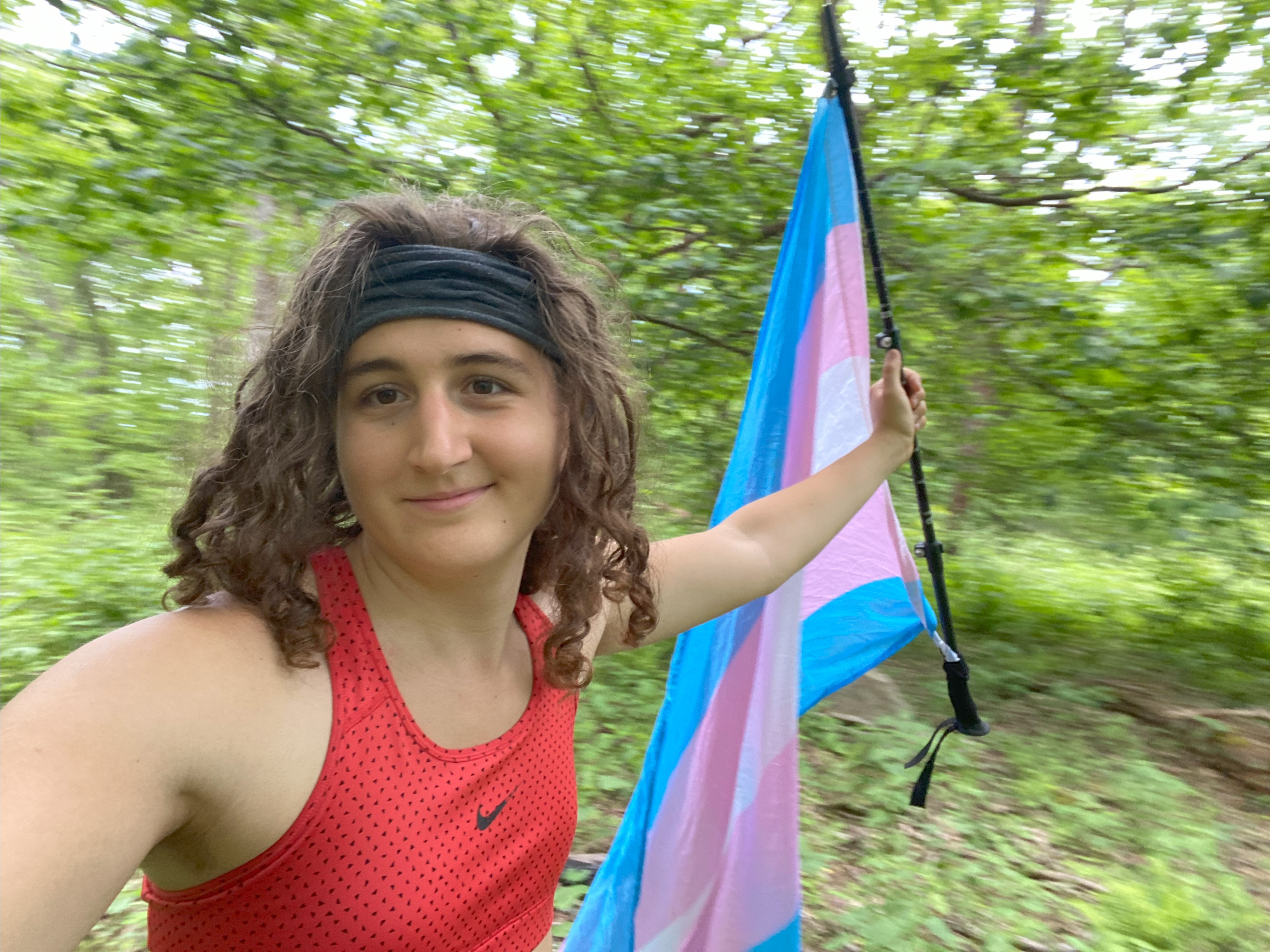
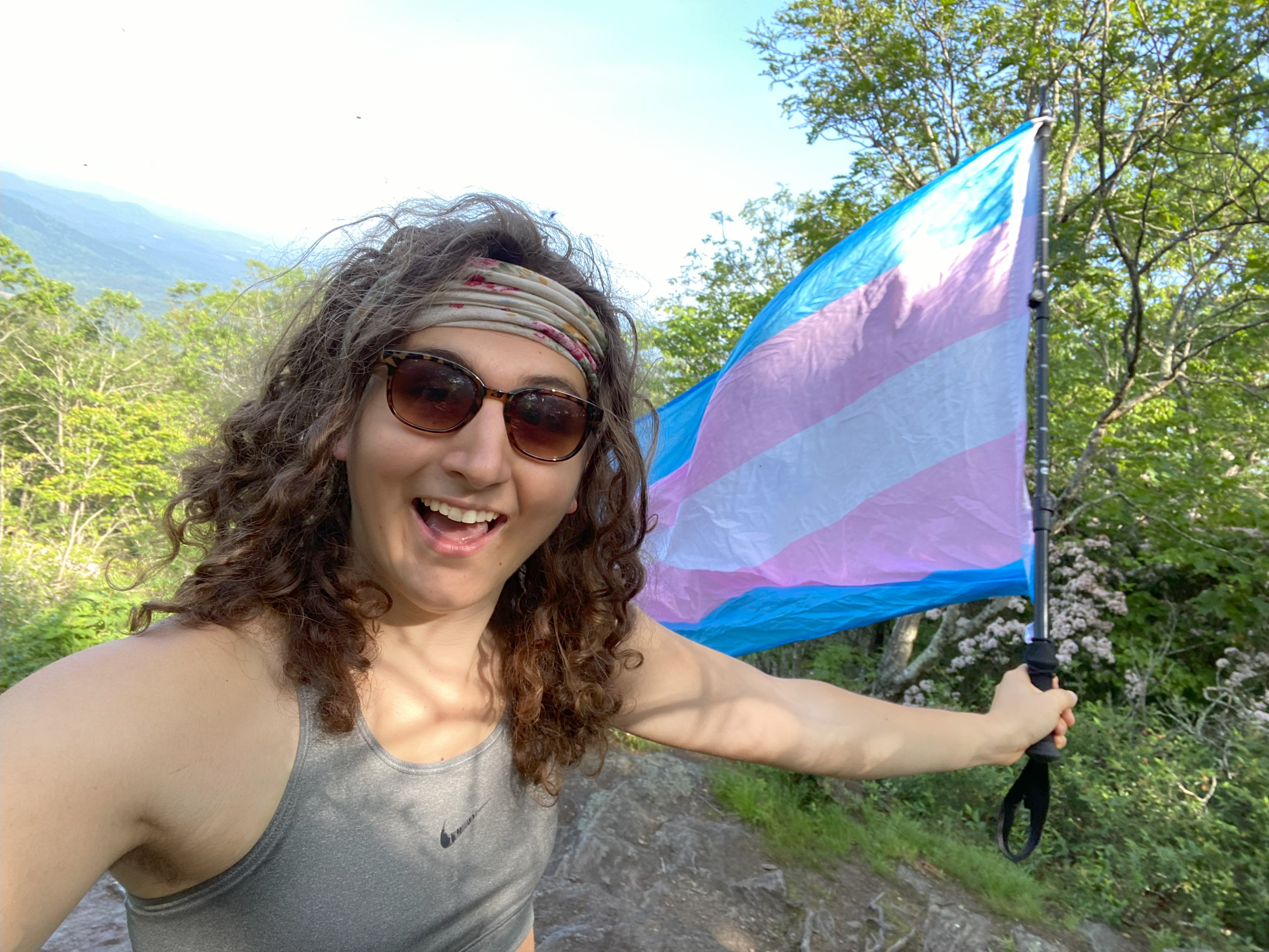
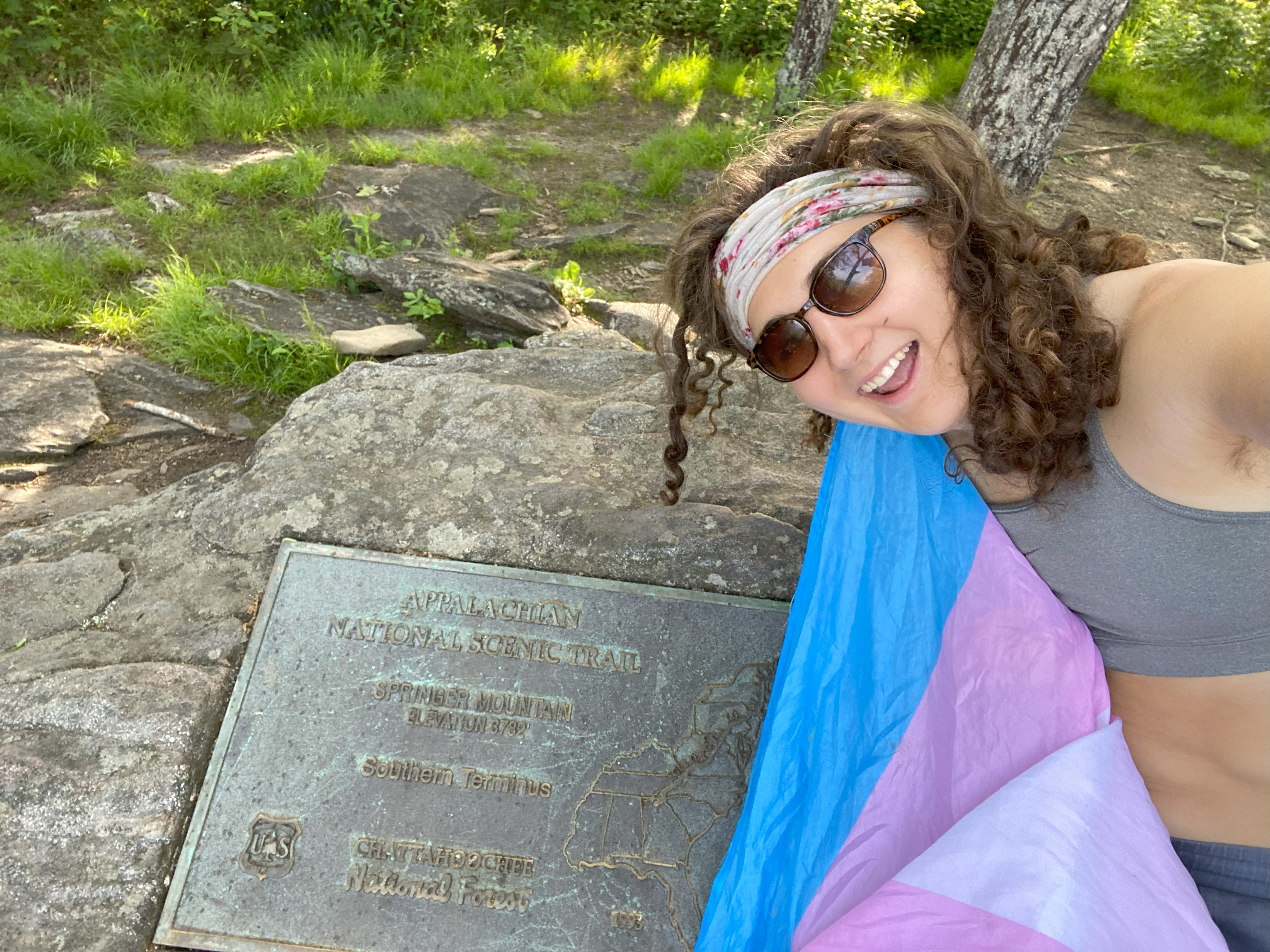
Springer Mountain: June 3rd
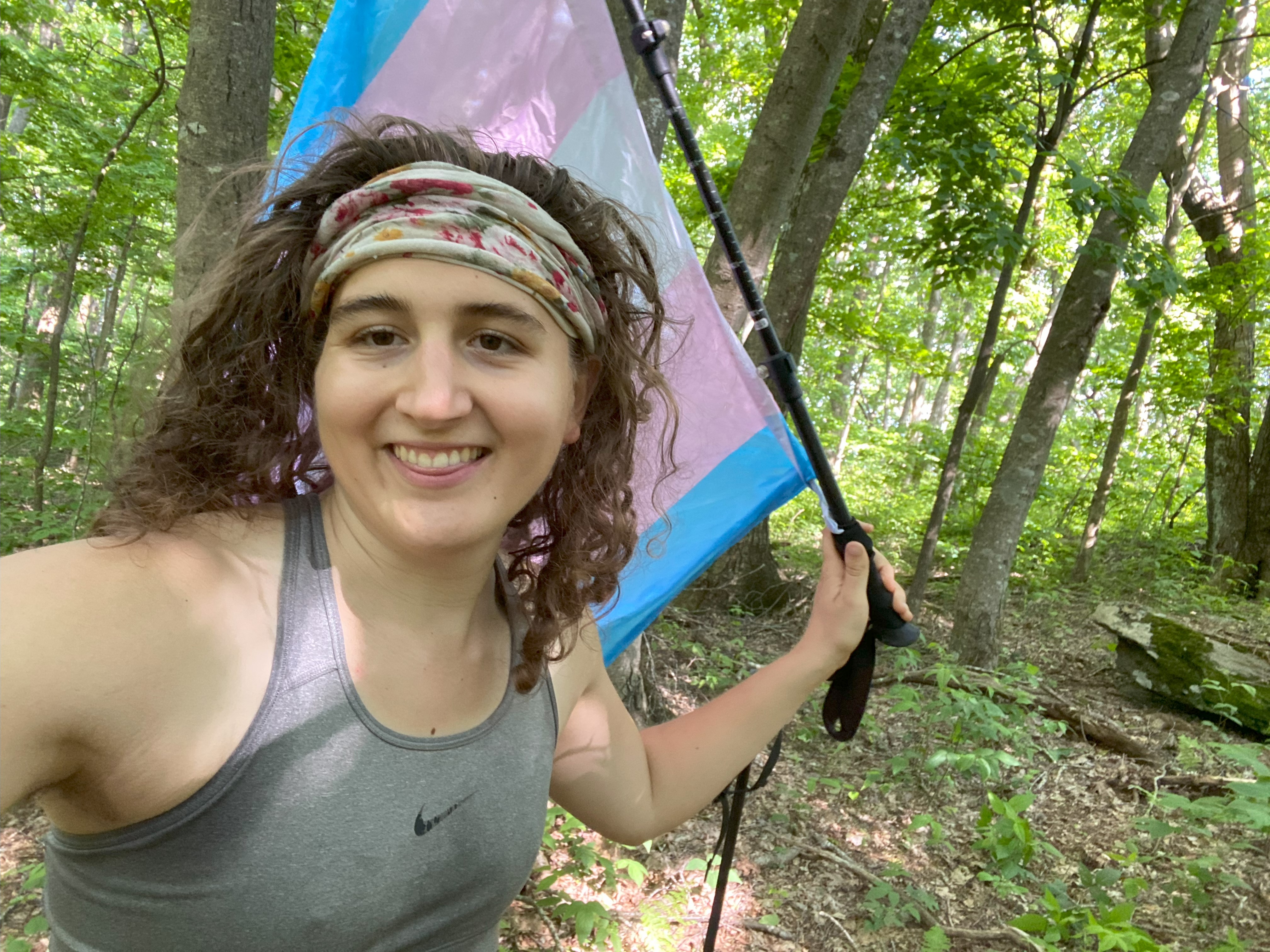
For Springer, I parked at the AT trailhead directly to the north, after driving up the dirt road the night before. Idk if people talk about this road like they talked about the one on cowpen, but if they do, and if they say it requires AWD or 4WD, then they're just wrong - the whole thing would present no problems for a sedan. Anyway, the AT up Springer was nice, and the summit view was delightful, along with the conversations I had with other hikers along the way. I was originally going to hike the AT this year instead of peakbagging while living out of my van, but I decided I would enjoy living in the van more, and I do. Still, with this and Katahdin, that's both ends book-ended :)
Big Bald: June 3rd
For Big Bald, I was hoping to drive up the dirt road, as others had before me. Unfortunately it is locked, so I had to walk up the whole way. Ugh. The first mile and a half would have been drivable to anyone, but after the ford, you'll definitely want high-clearance and probably AWD or 4WD. I turned to bushwhack up starting at 3400ft, and made it to within 100 vertical ft of the summit when I encountered some boars between me and the summit. Not wanting to test my luck, I took my photos there and headed down. A very hot and muggy day
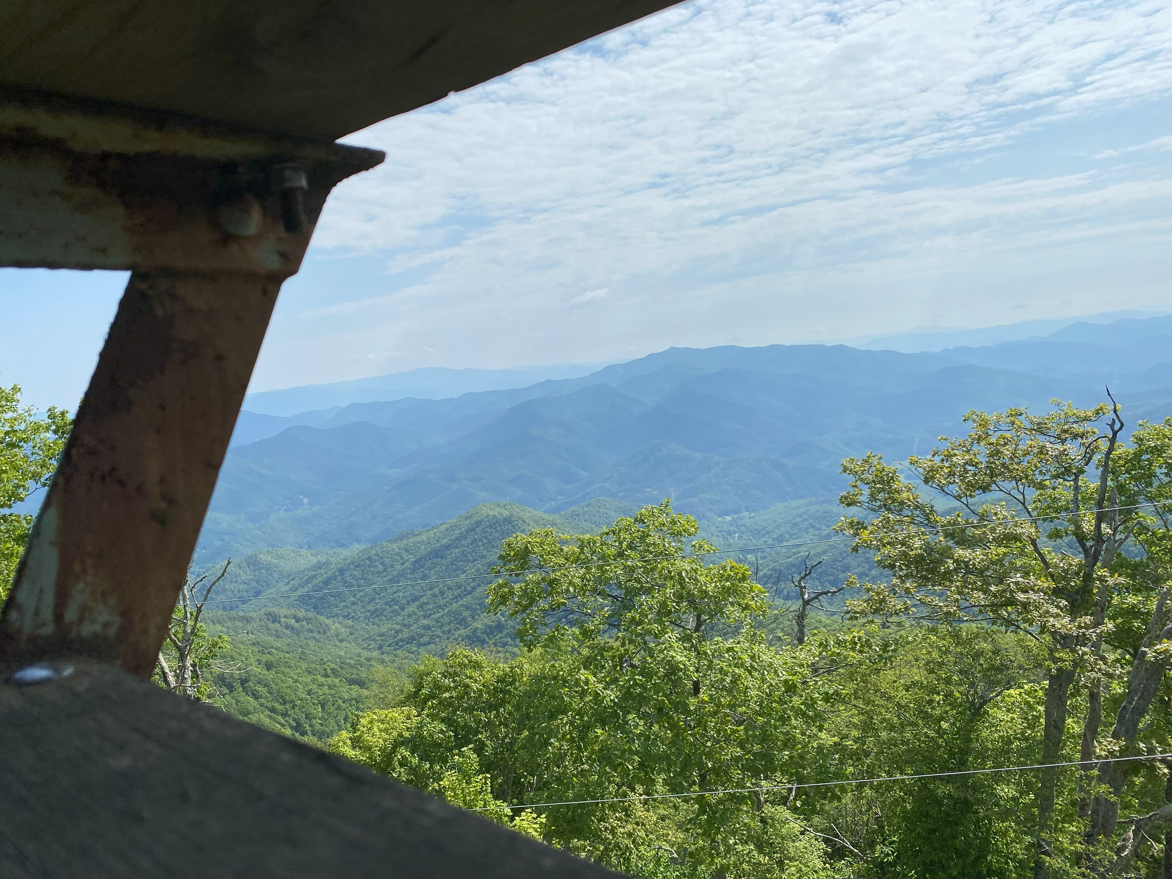
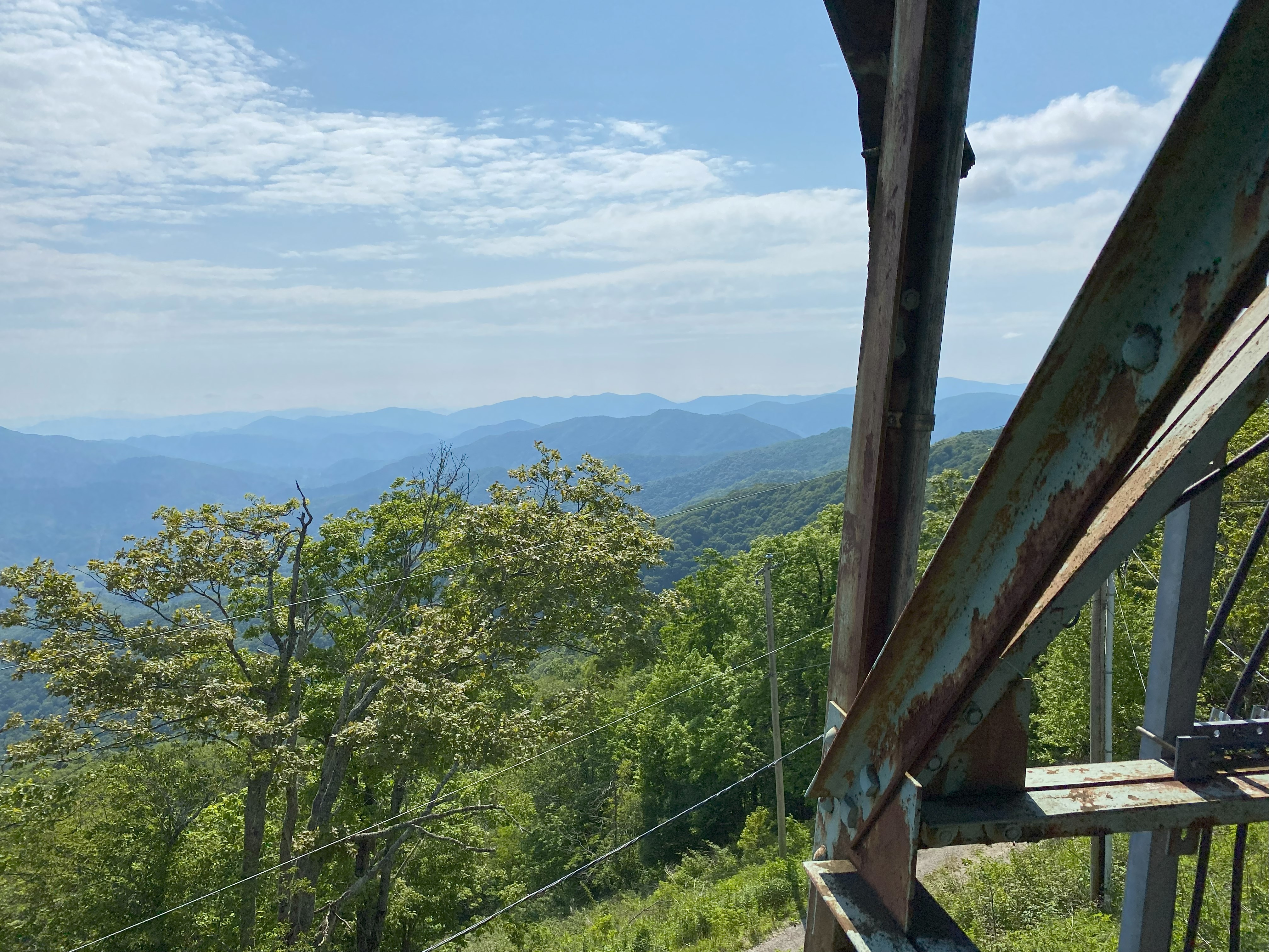
Tayahalee Bald: June 4th
Tayahalee Bald, also called Jonna Bald, is best accessed from the USFS road that runs from Andrews to Robbinsville. I drove south-to-north along this, and found the dirt roads to be totally doable in a sedan. Up the spur to the summit is also good, but the last 0.5 miles are gated, although it is very little elevation gain. The fire tower is closed but you can climb up most of the way to get good views!