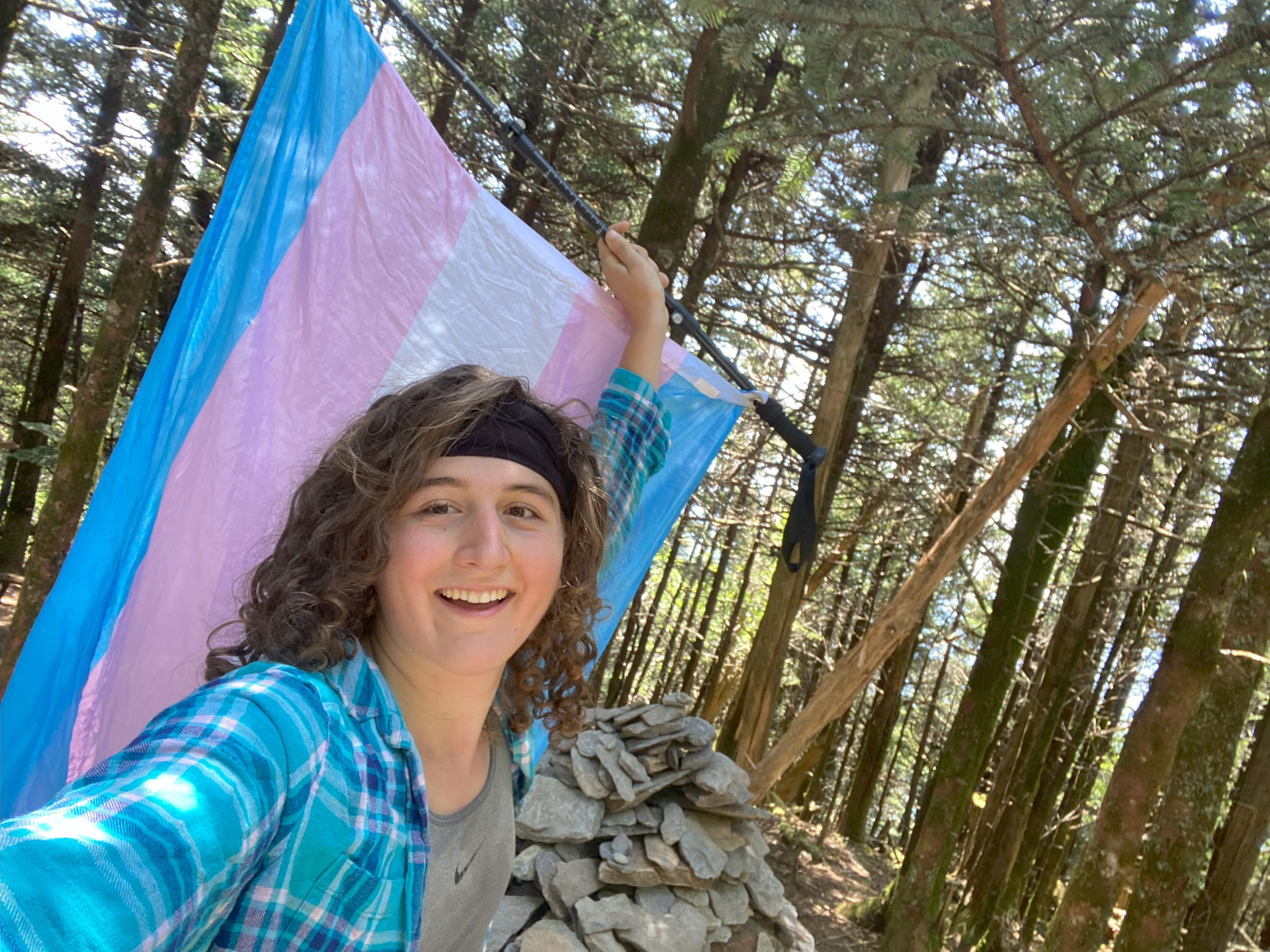
Cove Mountain, Le Conte, Scott Mountain, Gregory Bald, Potato Hill, and High Rocks: June 8th-12th, 2023
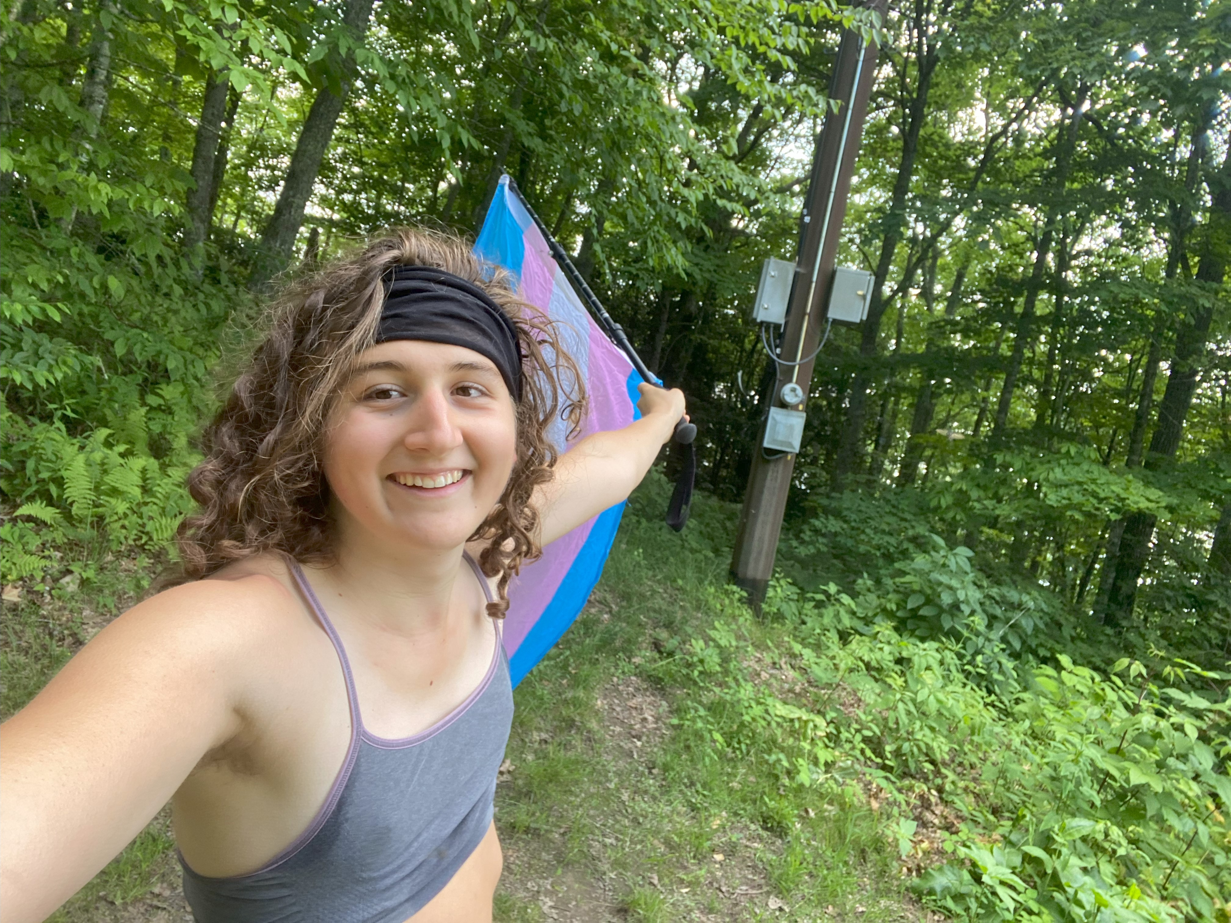
Cove Mountain, June 8th
For Cove I started from the Laurel Falls Trailhead, and once I got past the titular falls, the flood of people turned into a trickle. The summit has a fire tower, but it's behind a barbed-wire fence, although there are some views along the power line path. Overall a rather delightful hike
Le Conte, June 9th
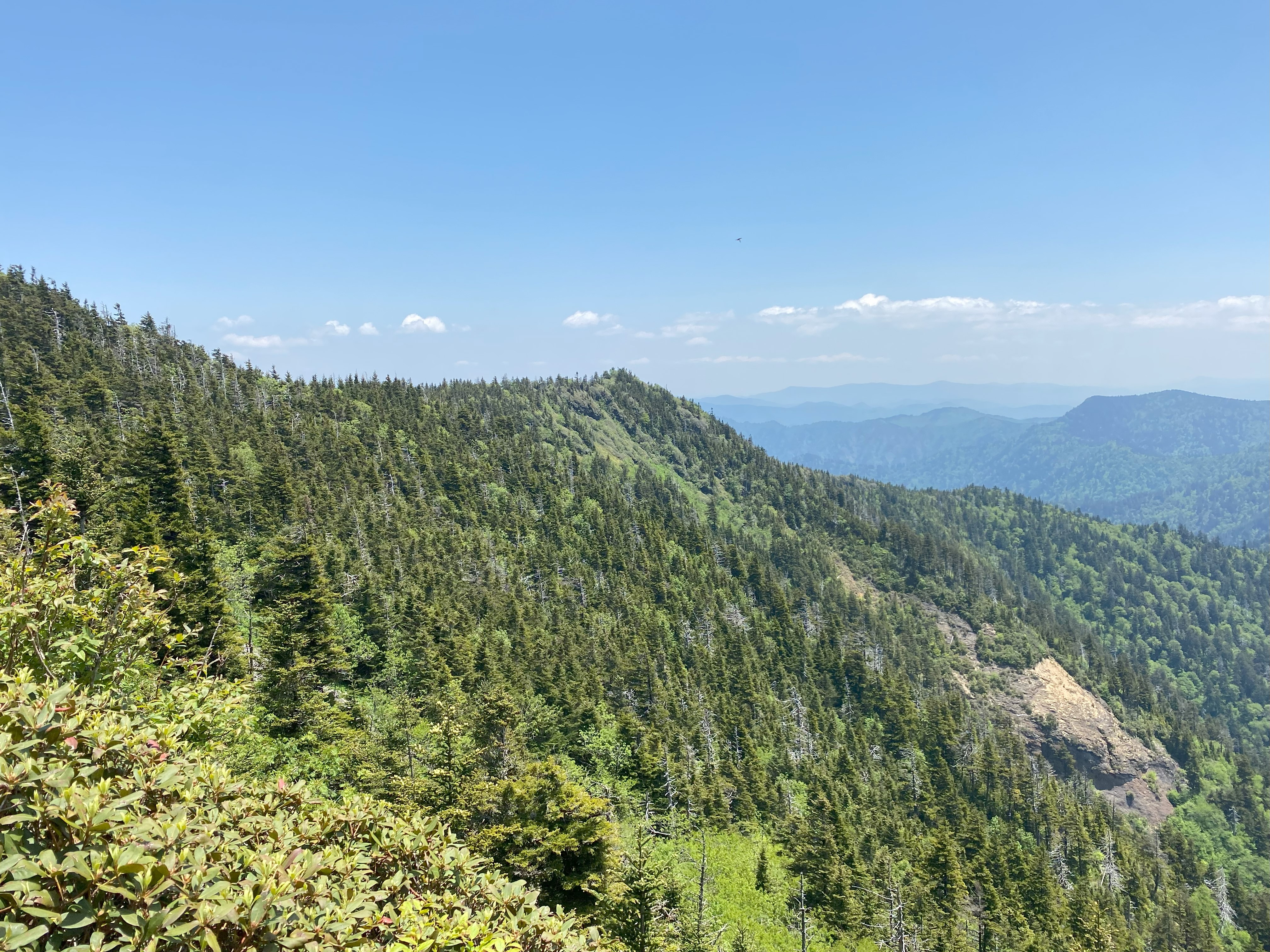
Le Conte was the last of the "big" southern mountains I had to do, and all you have to do is look at the peak from Gattlinburg to see why: only Attakulla, Agiocochook, and perhaps Katahdin rise so much in elevation over such a short amount of time. No doubt the mountains out east are "real mountains", as is sometimes contested by westerners, but all you have to do is see that profile of vertical rise to go, "wow, that is a real mountain". But, being the lazy peakbagger I am, I decided to hike it from the trailhead at 3800ft along 441 instead of the full-rise, although I could be easily convinced to try that on a different day. The hike up had some fantastic views with Alum Cave and some of the outlooks surrounding Peregrine Peak. I discovered there was a full lodge near the summit, so in that sense it's a lot like Agiochook. The summit itself was a wooded area marked by a large rock-pile, although Murtle Point and Cliff Top both afforded fantastic views of the main crest of the Smokies, so definitely be sure to check those out if you do this peak - they're well-worth your time! Anyhow, the way down was fairly straightforward, and the trail quality throughout was pretty high. Do be aware that parking was full by 9am that morning on a Friday in June, so definitely get there early if you're going on a weekend!
Scott Mountain, June 10th
For Scott I started from the Cades Cove Visitors Kiosk and walked up the nearest trail leading up. Decently-maintained trail, saw a bear on the way down. The bushwhack to the summit was open and uninteresting, no views at all, worth it if you're P1king, but otherwise, probably not
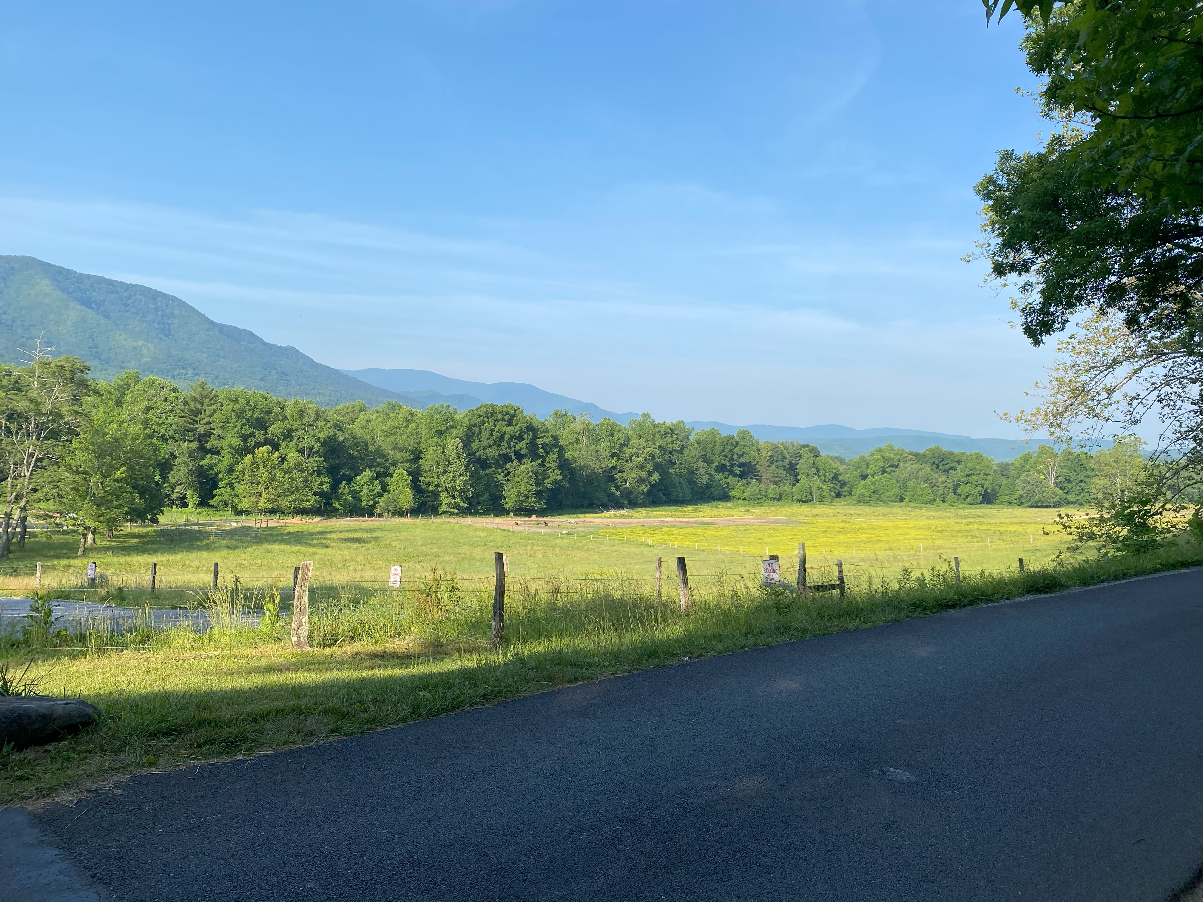
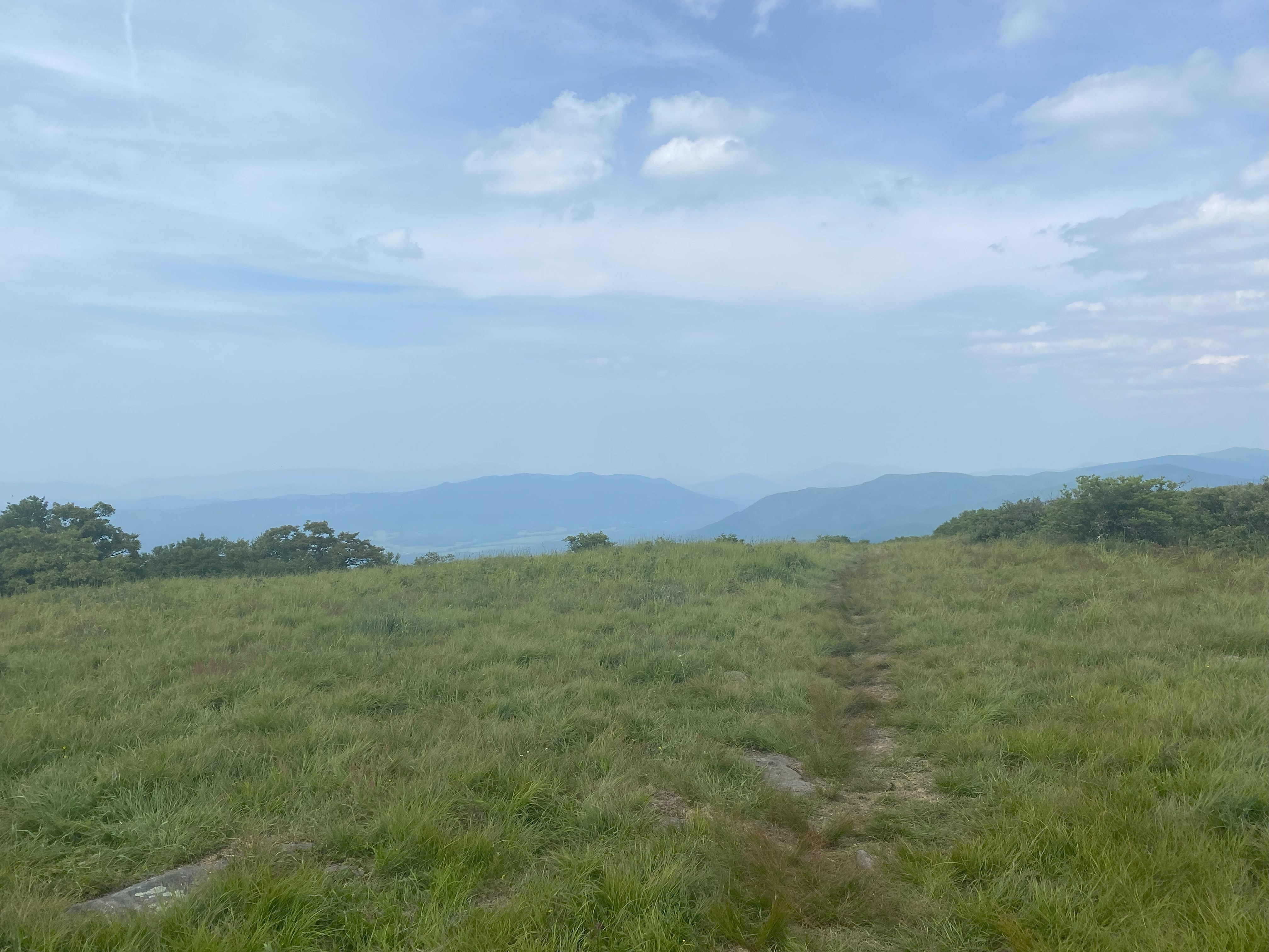
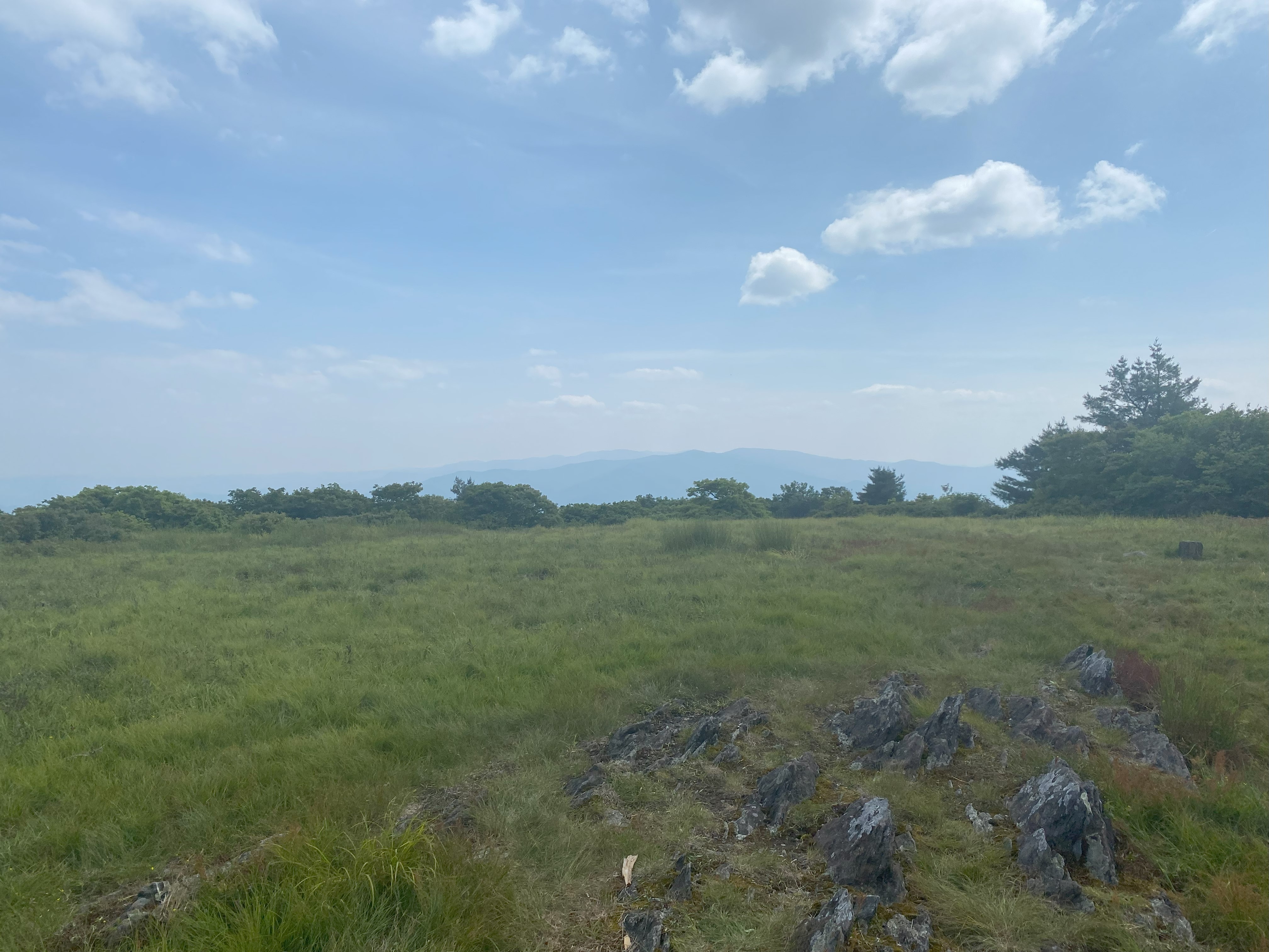
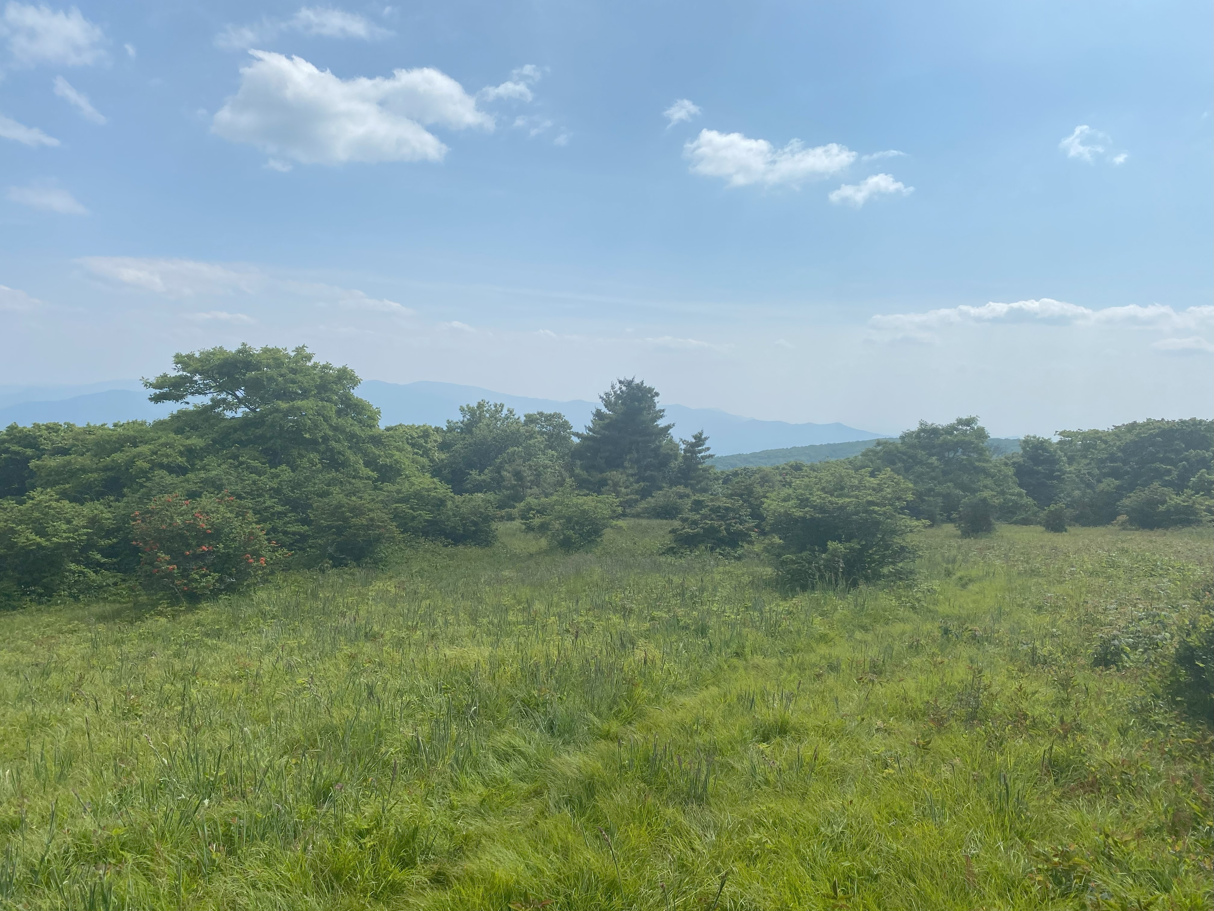
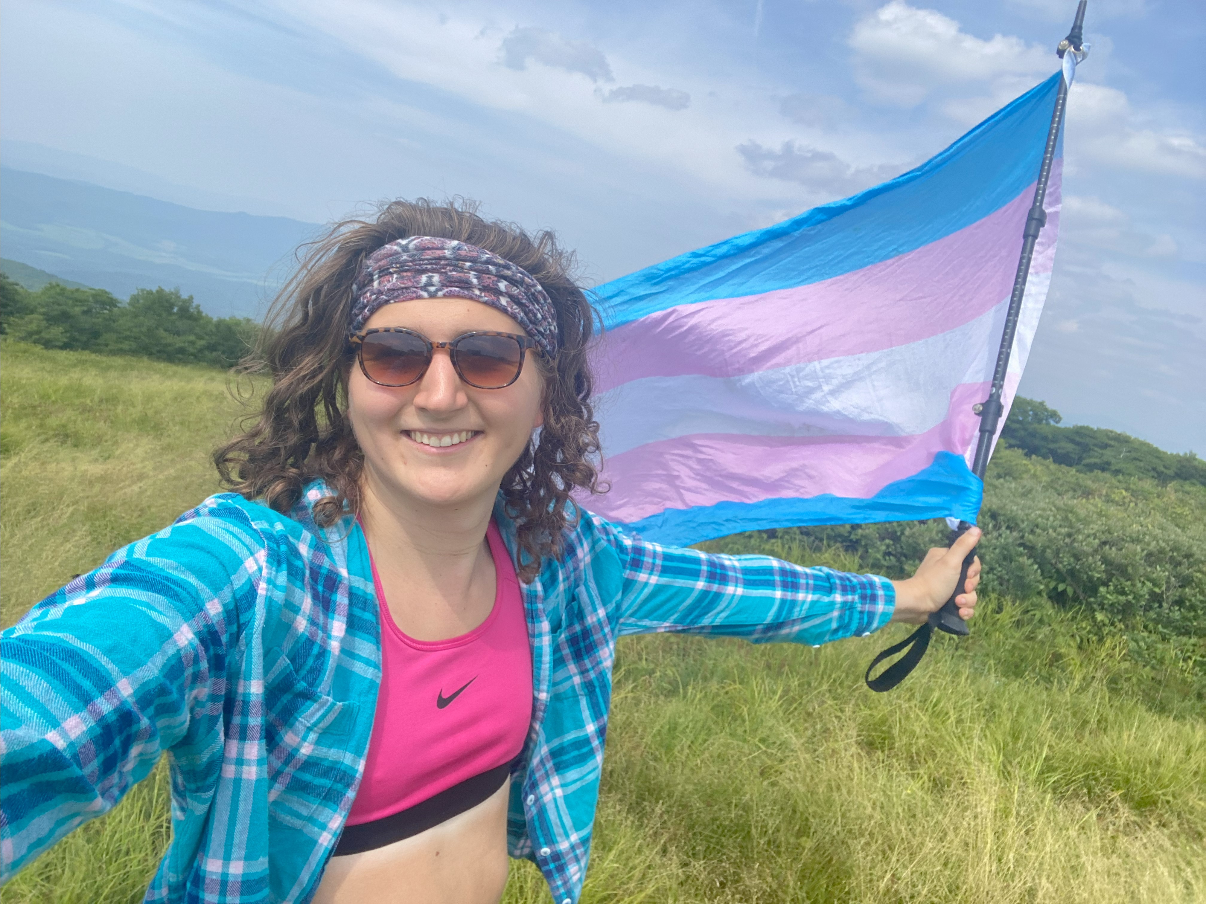
Gregory Bald, June 10th
The drive along Cades Cove to Gregory Bald Trailhead was not enjoyable due to the excessive traffic along the way. I mean seriously, if they get that much traffic volume for such a small area, then why isn't it a better idea to have a tram instead take people around. I can't imagine all of that idling is good for the air in that relatively-enclosed space. And look, I get it, I drive a car too, and most of the time volumes on public lands just aren't enough to justify alternative transportation methods, but Cades Cove in the Smokies? That road had more volume than most small cities so yeah, replace the loop road with a biking/walking path, install a tram/trolly system that people can hop on/off of (even if it were free it would be cheaper than maintaining all that asfault insfrastructure), and route a dirt-road path connecting to ----- lane, make it one way and of poor quality like the rest of the road (so that people can still access those lower-use trailheads without being motivated to drive it since it would add a couple hours to most people's itineraries), and make the situation better! I mean come on, the Smokies are one of the most visisted parks in the country (if not the world), they can totally make something like this happen!
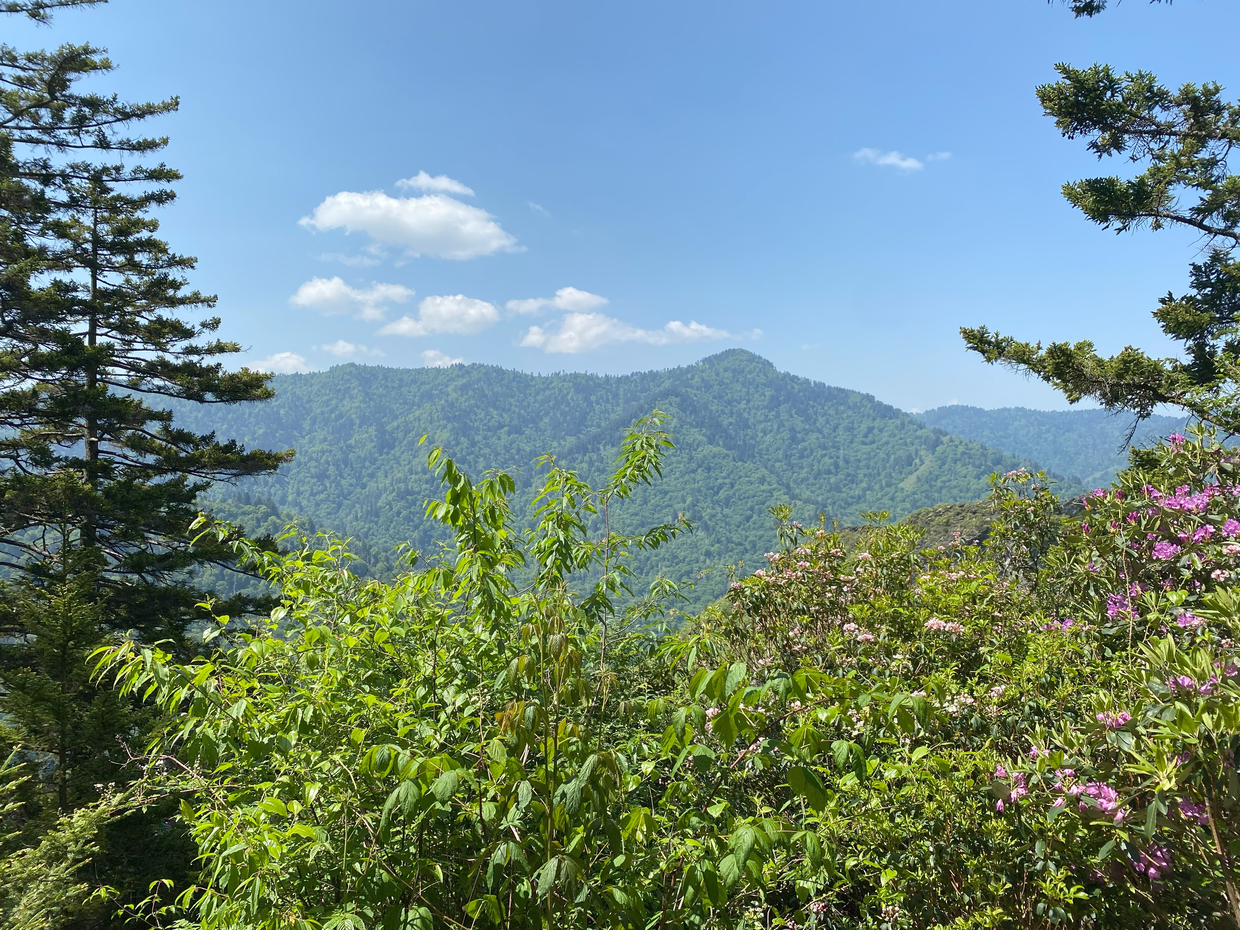
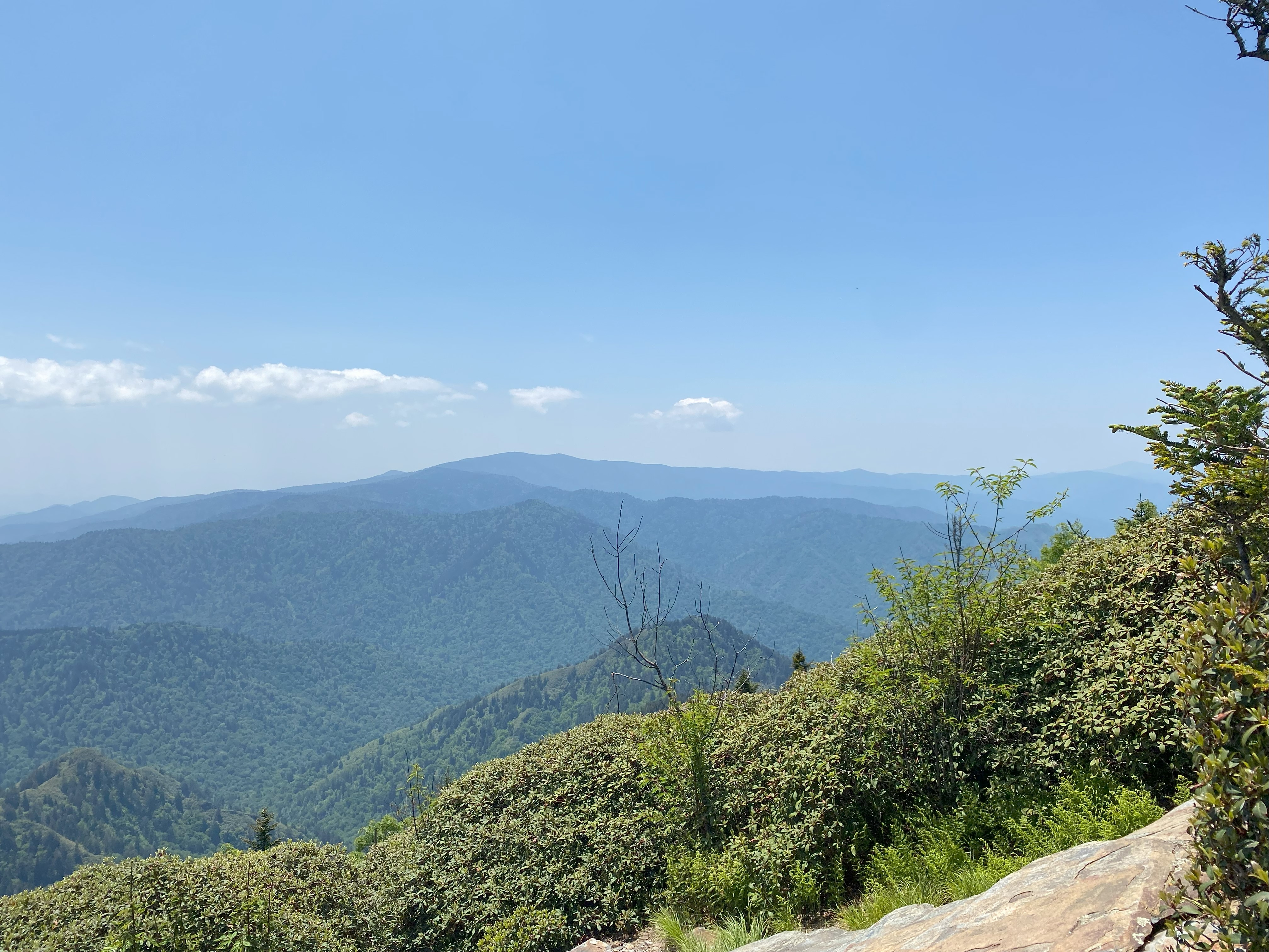
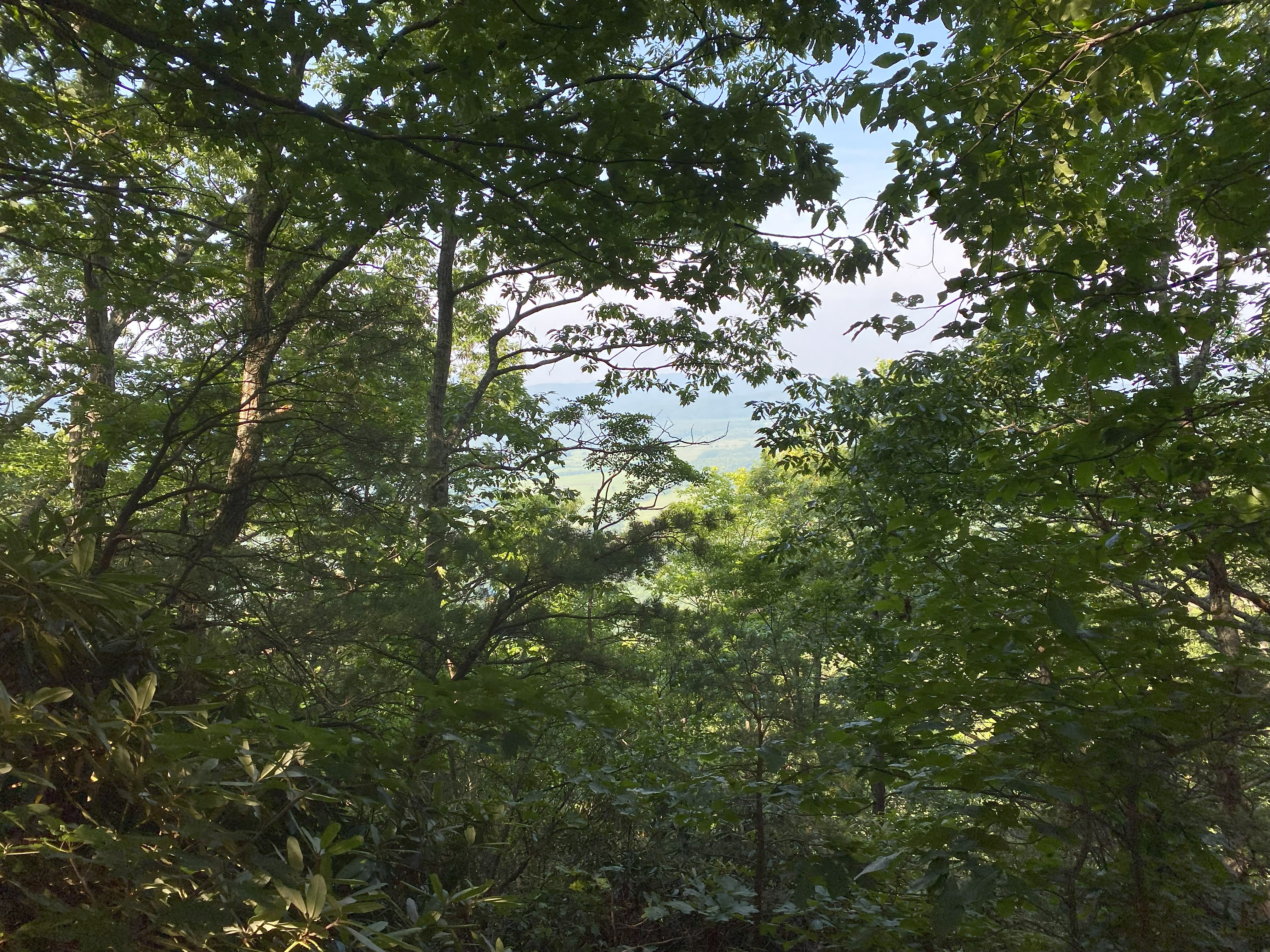
Rant aside, Parson Branch Road does actually require high-clearance, but not 4wd I don't think, the trail up Gregory is pretty well maintained, and the bald at the summit does not disappoint at all, with 360 degree views of Huckleberry, Clingman's, Scott, and Cheoah, all significant peaks in the four cardinal directions. Would highly recommend this gem of a peak, especially since it wasn't supposed to be on my list because it falls short of both the prominence and elevation thresholds, but I added it anyway because fuck bushwhacks and this looked like a great peak - and it was!
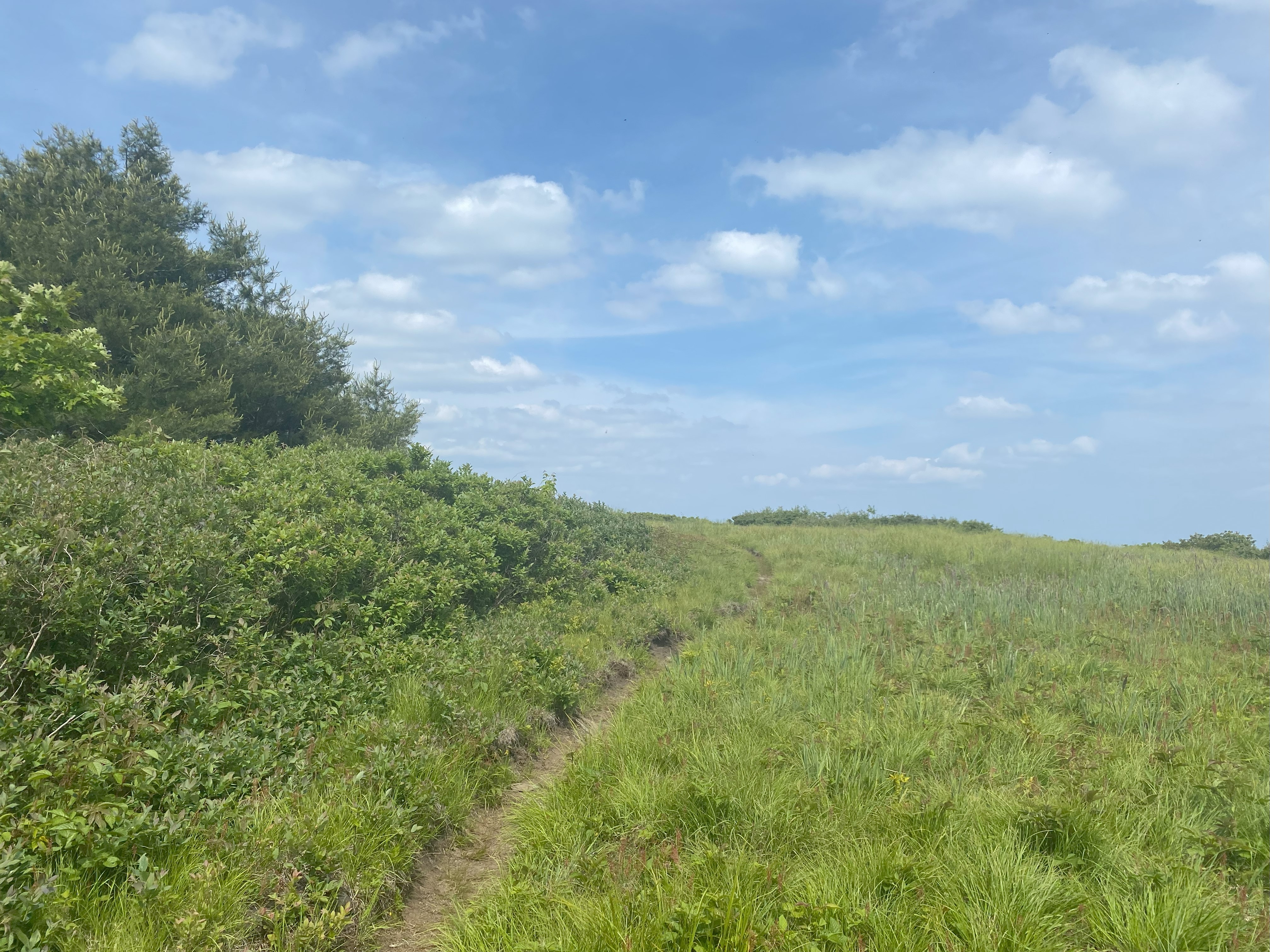
Potato Hill, June 11th
Barrett Wood's report on this one is still accurate, with the caveat of you should approach Sky Cove from the south, as while both ends of the road have gates, the northern one was locked when I tried to get up it. A very steep but paved road will take you right up to a small red gate at 3100ft, though I parked at an empty lot at 2900ft, sure to be developed in the coming years. Walk up walk down, no views and and a steep car descent. Only worth it if you're going after P1ks down here
High Rocks, June 12th
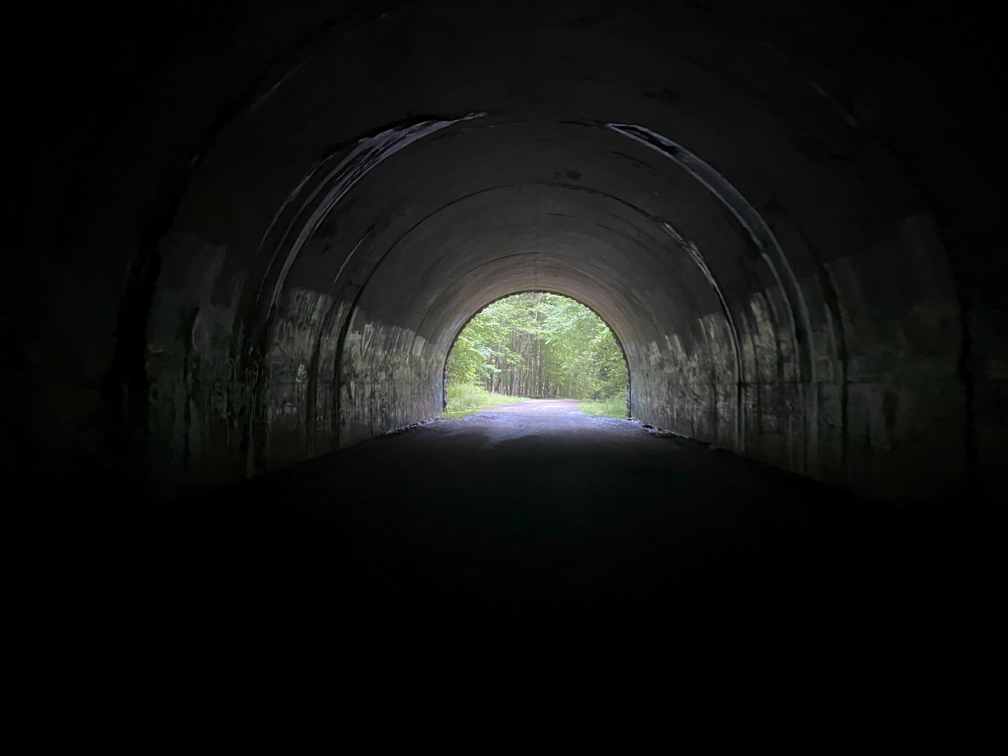
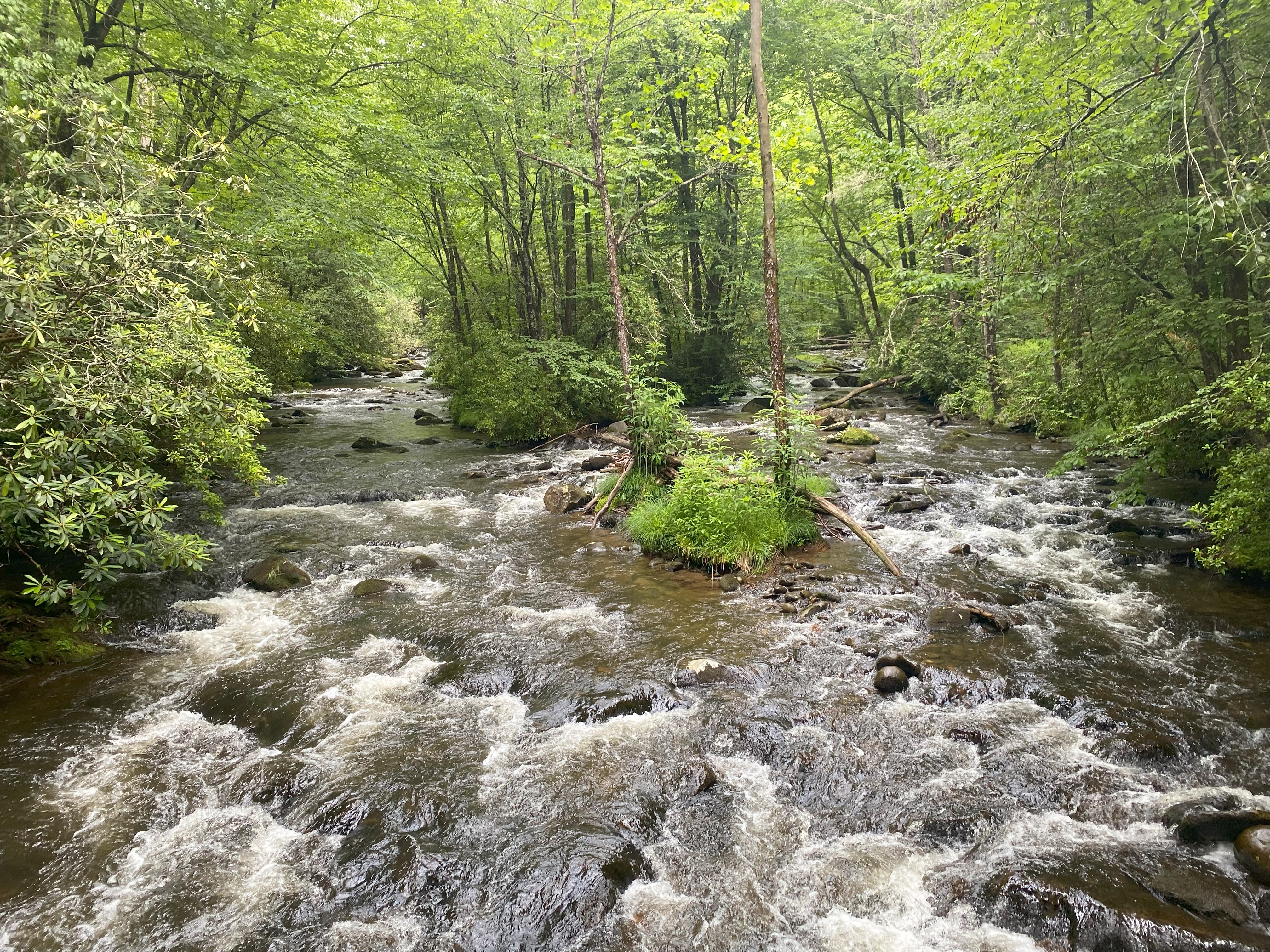
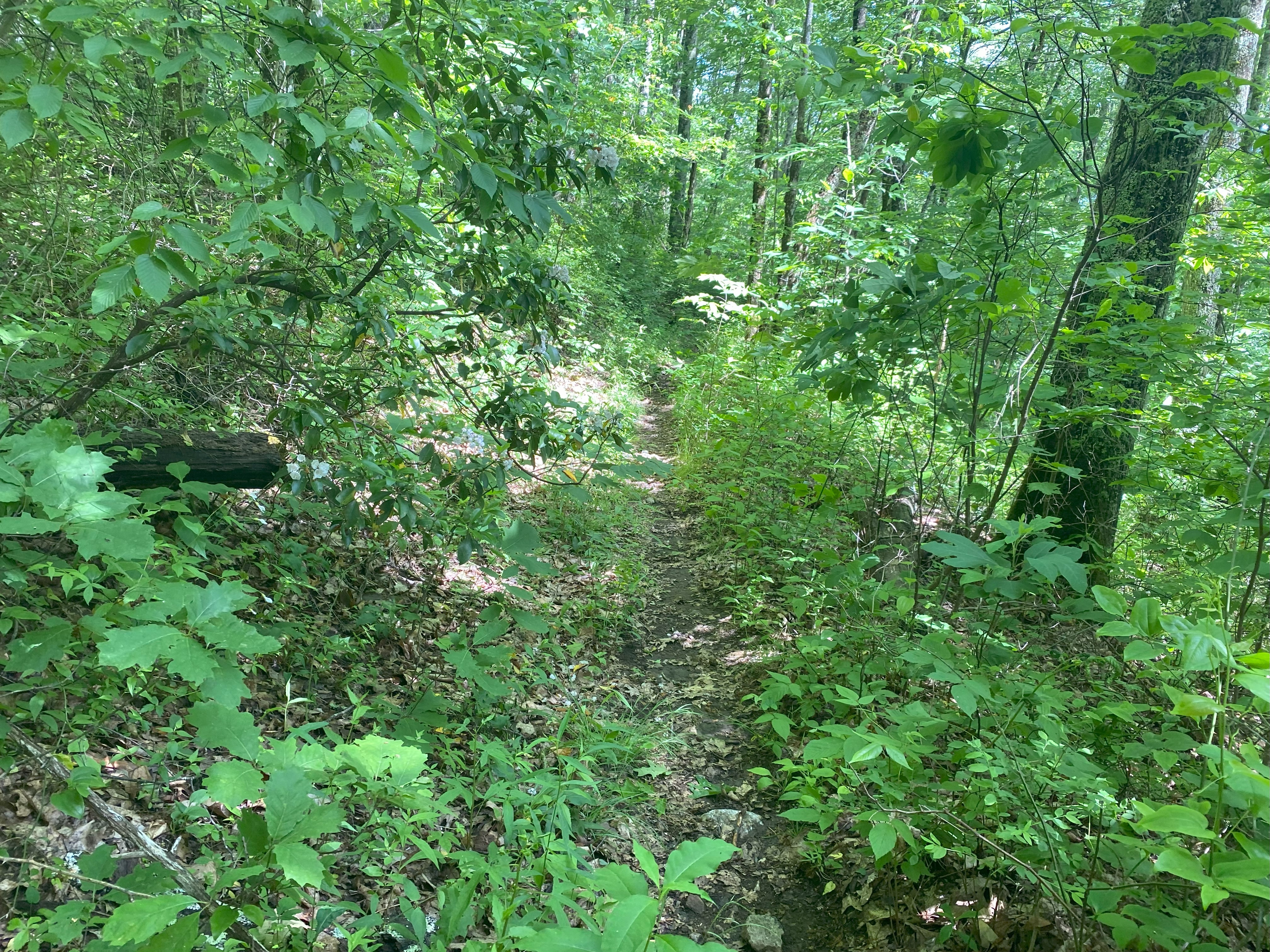
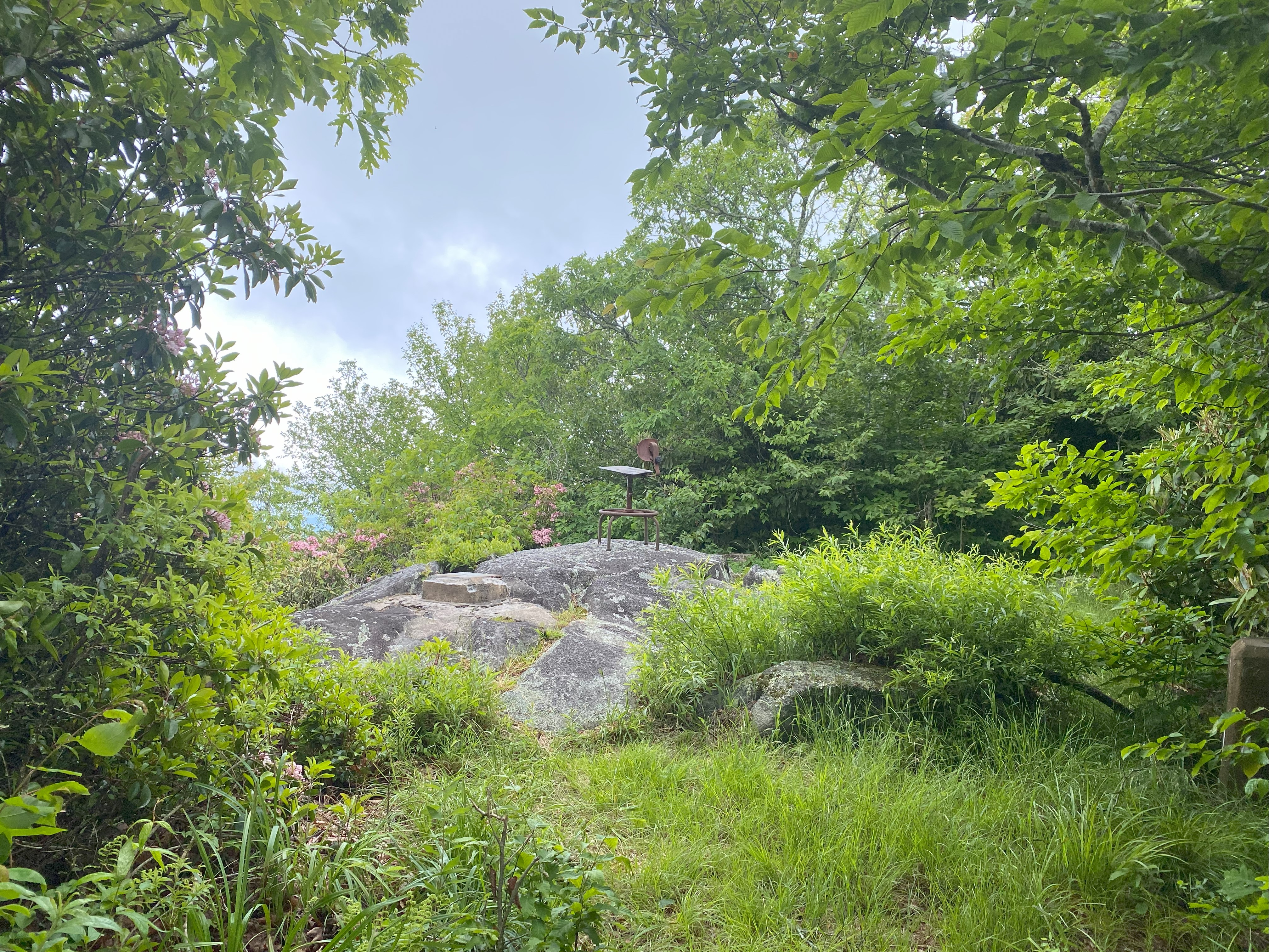
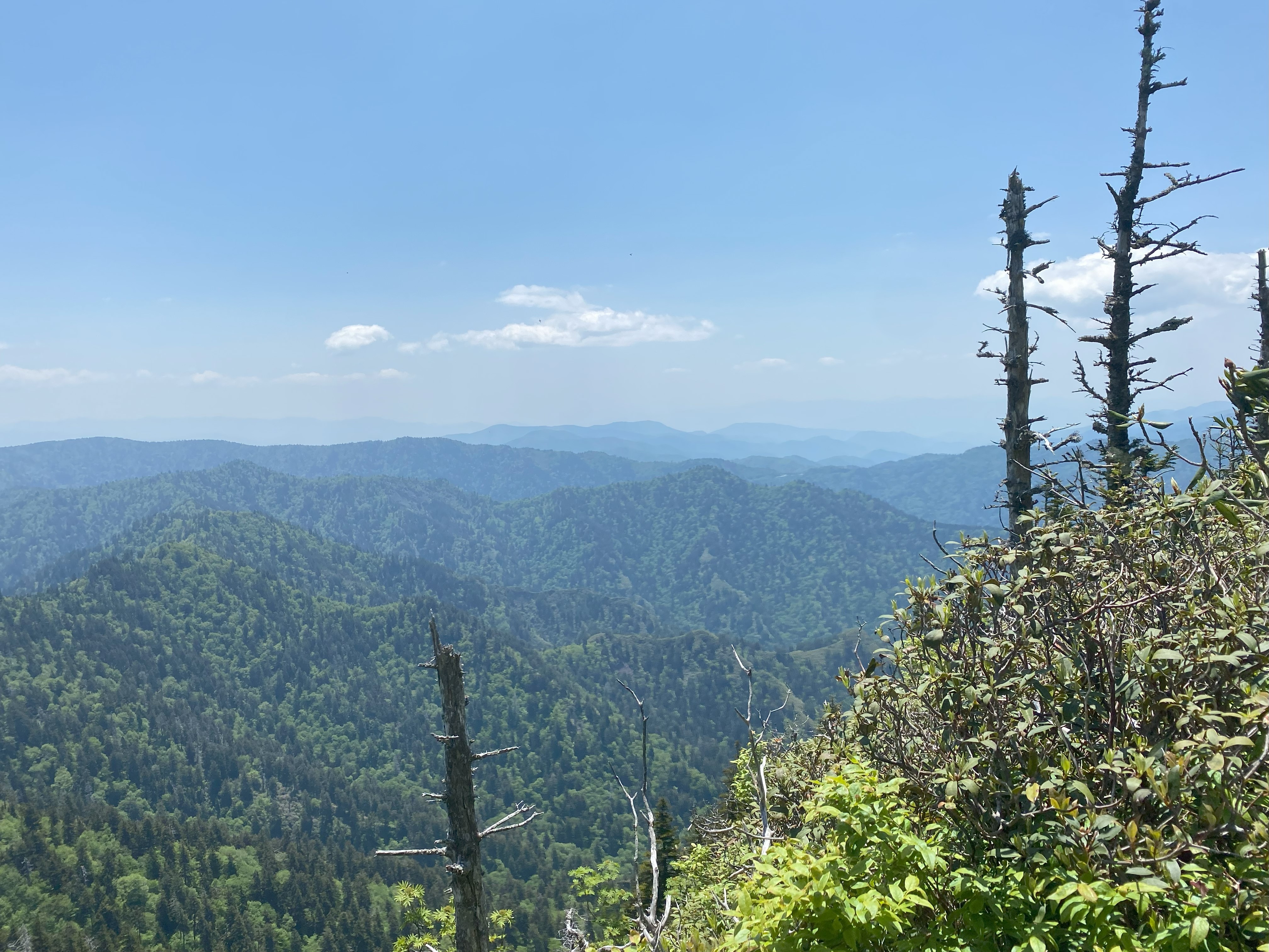
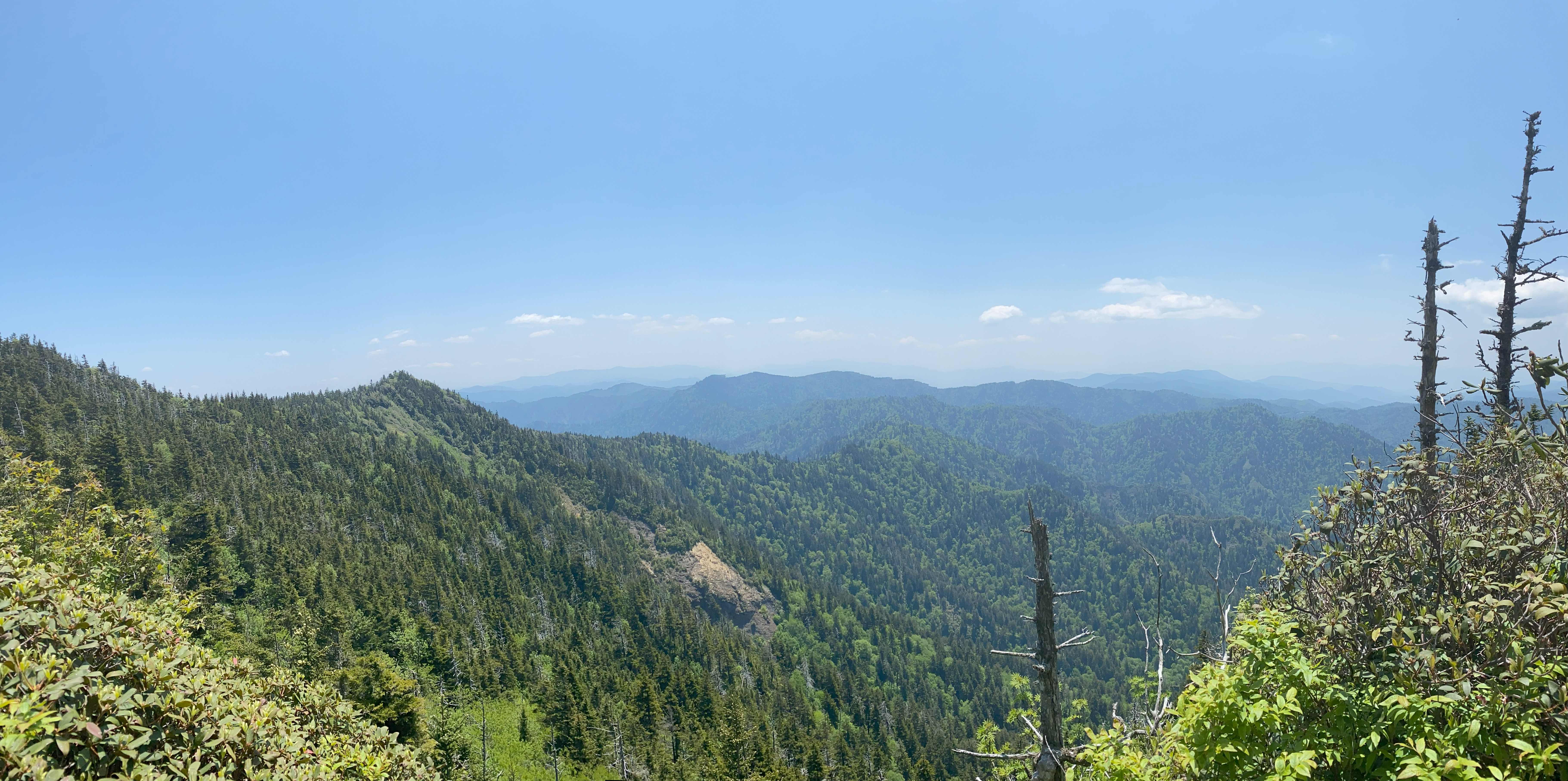
From the start of this project of mine, even in it's original form of just the standard-list of 5000fters down south, I knew this mountain would be a lot. Put simply, it ranks near Allen and Owl's head for you northeastern peakbaggers in terms of distance from a trailhead. Ten miles out, ten miles back, though only about 3800ft of elevation gain total, and unlike those peaks, there are maintained trails all the way to the summit. My journey began at the Tunnel To Nowhere, which was a delightfully unique way to start such a long hike - after all, how many hikes require you go through tunnels??? I rode my bike though and locked it at a tree on the other side, and onward along Lakeshore trail. I took a wrong turn at the junciton with White Oak Branch trail and ended up adding about two miles to my already-long day. Ugh - had to come back via Forney Creek Trail. And once I got on Bear Creek trail, the corridor rapidly deteriorated, with a lot of bushes and grass stretching into the trial - clearly a trail crew hasn't gotten to this one by this point in the season. Normally that wouldn't have been a problem, but it had rained pretty hard the night before, so my shoes got drenched by all the water on the leaves. It got to the point that I actually started crying on the ridge because water sometimes triggers me, but sometimes not - it's hard to tell. I was feeling like shit by the time I was ascending the last leg to the summit
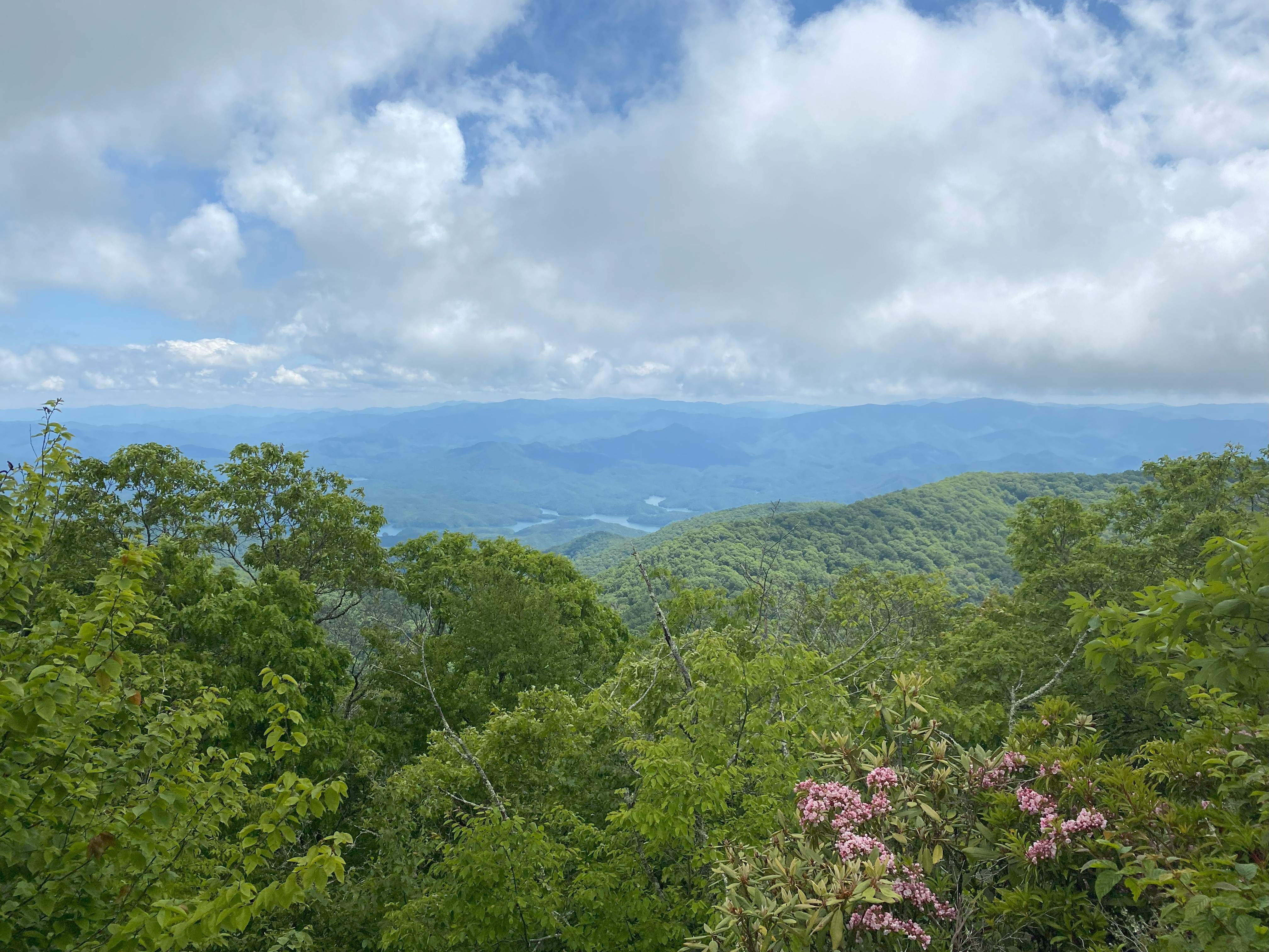
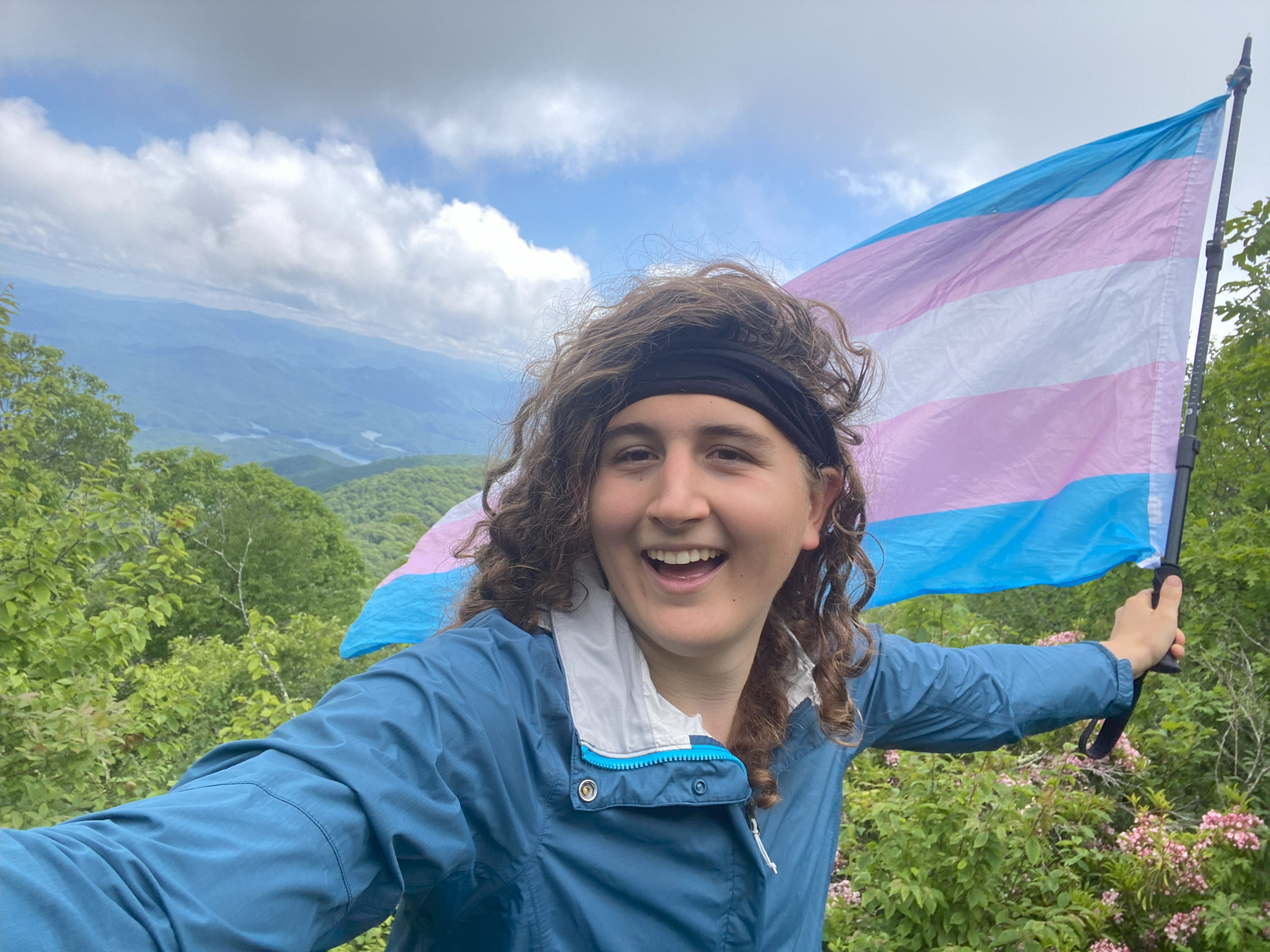
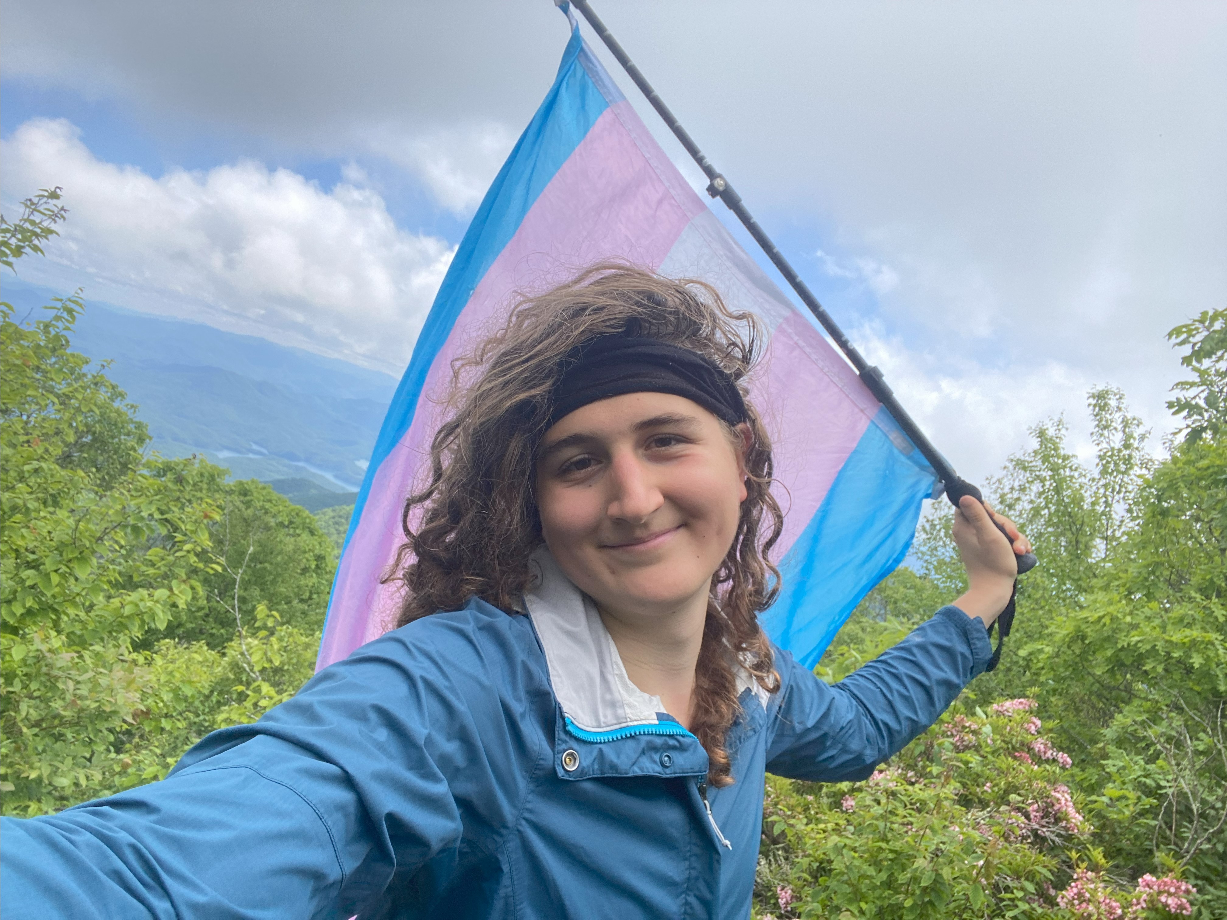
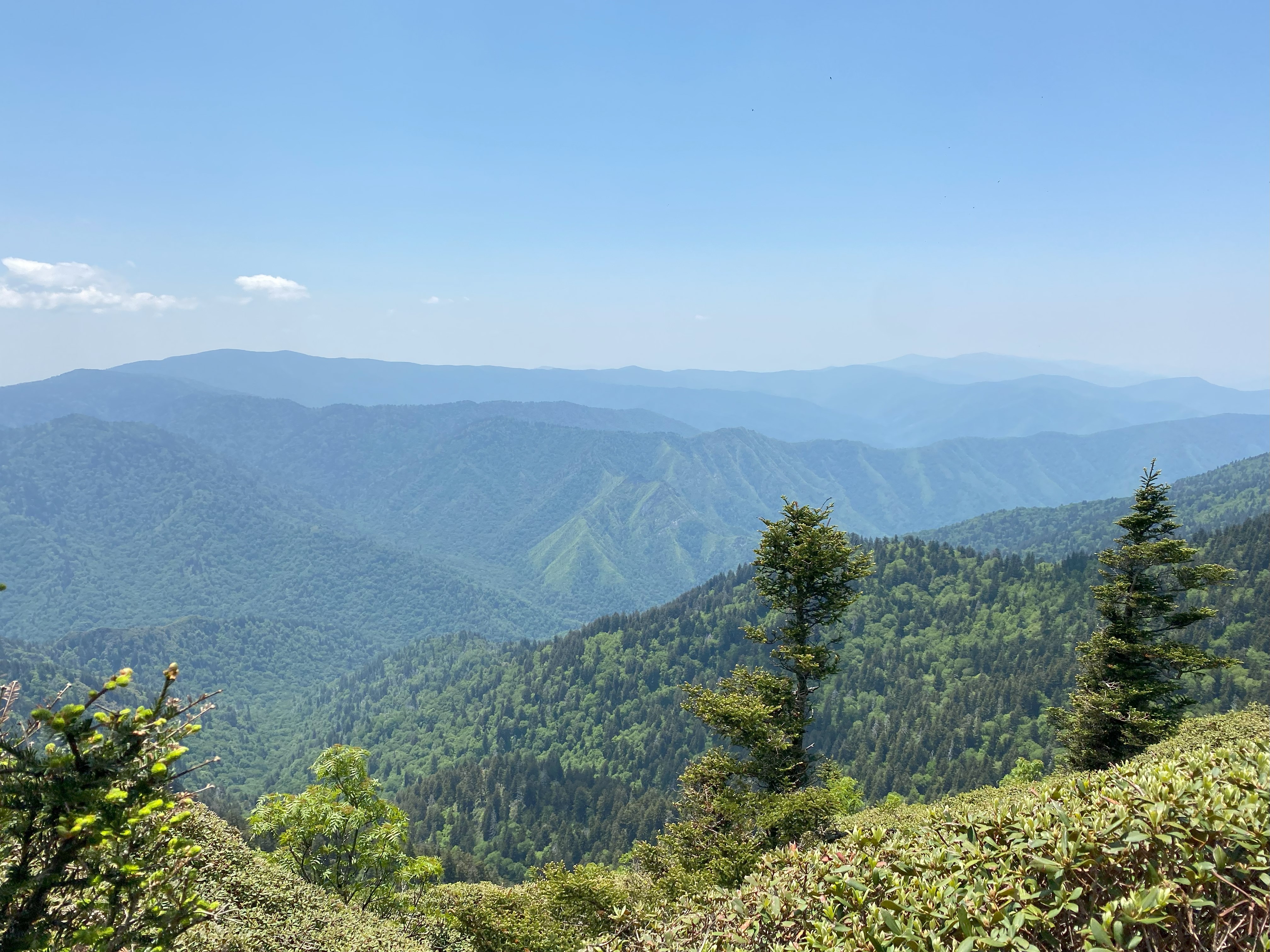
But wow, the summit was absolutely spectacular. For starters, there's this metal chair at the summit rock leftover from the summit's fire tower days, and although it's not comfortable, it's certainly novel in a delightful way for being so far in a wilderness area. And the view, oh the view, pristine views of Cheoah and its surrounding peaks, along with Fontana lake down below. The flowers blooming at the sides just made for the most spectacular view I've seen on a mountain since Lookout in Georgia back in April. I'm surprised this mountain is so sparsely done with such a good view! Perhaps it's the Allen/Owls Head-like nature of it, after all twenty miles is a hell of a day, but honestly this is the best summit view I've encountered in the Smokies, with only Gregory and Cammerer coming close in my opinion. Anyway, the way back was alright, and I ended up finishing a while before I was planning to, so I even had some time to chill in the evening. Overall a great hike I would recommend to people who can stomach the distance - it's really not too bad. Just, go when it's dry, or during the stick season