West Wildcat Top, Pinnacle Mountain, Holston High Top, and Rich Knob: June 16th-18th, 2023
West Wildcat Top, June 16th
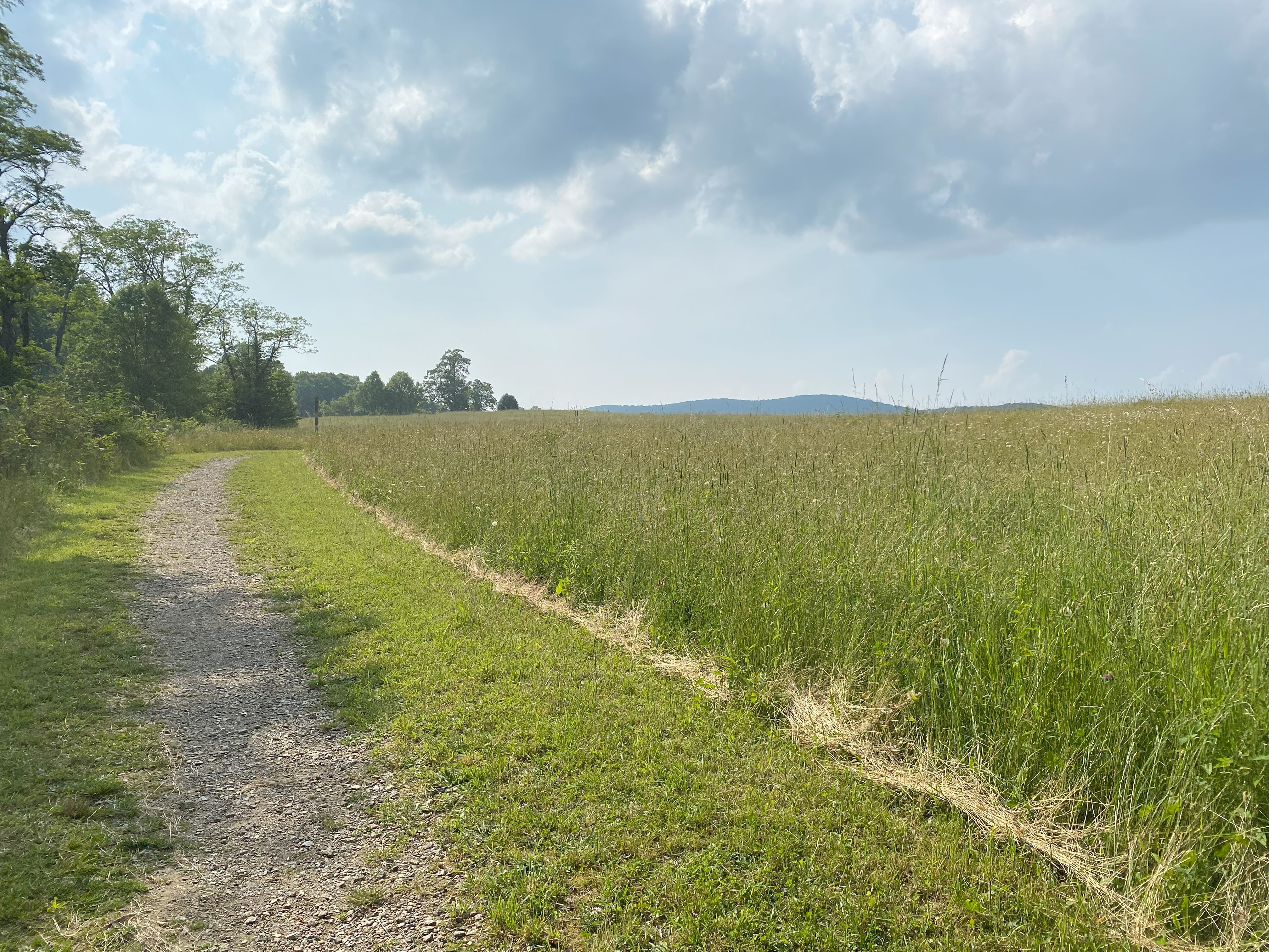
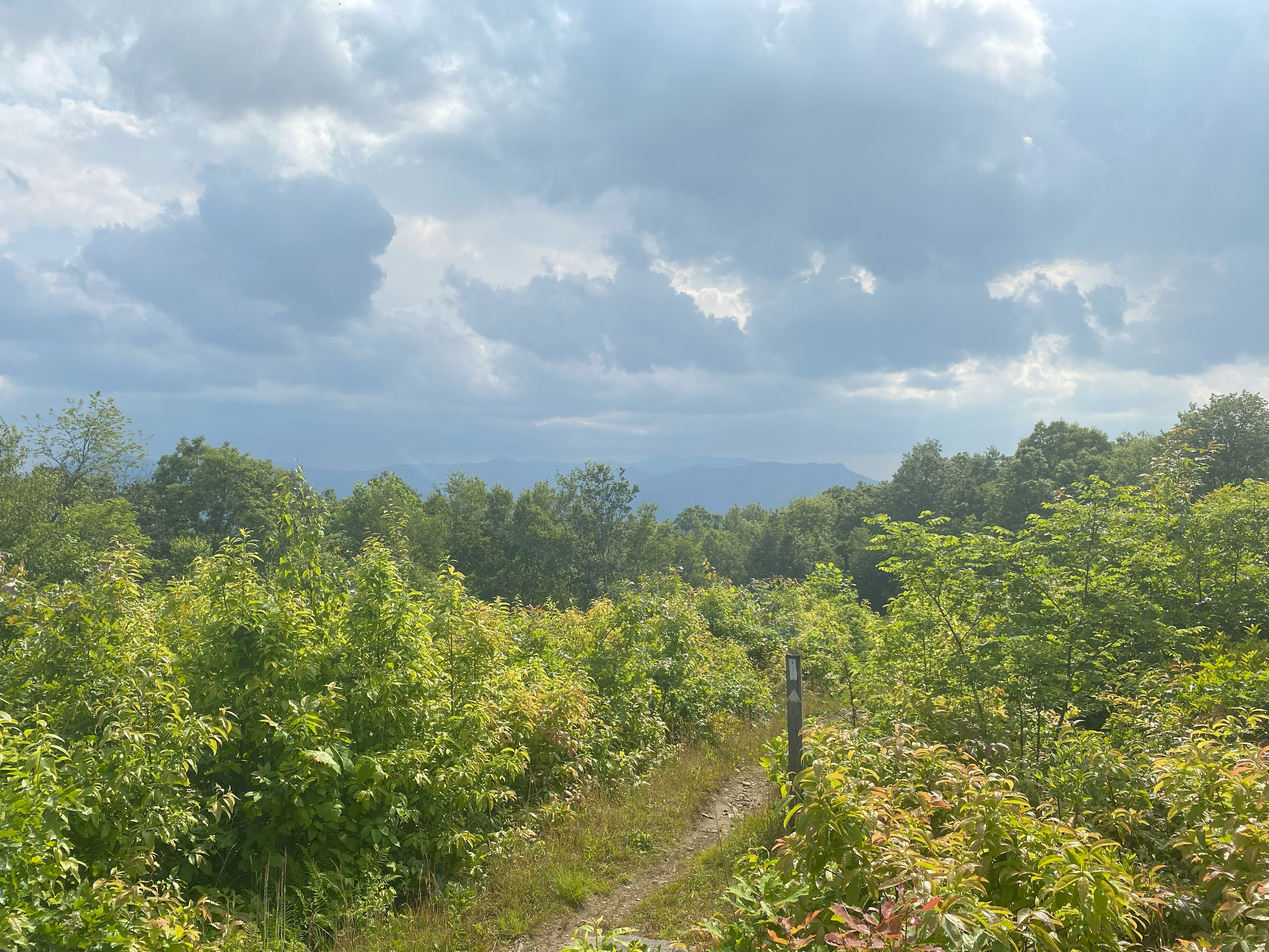
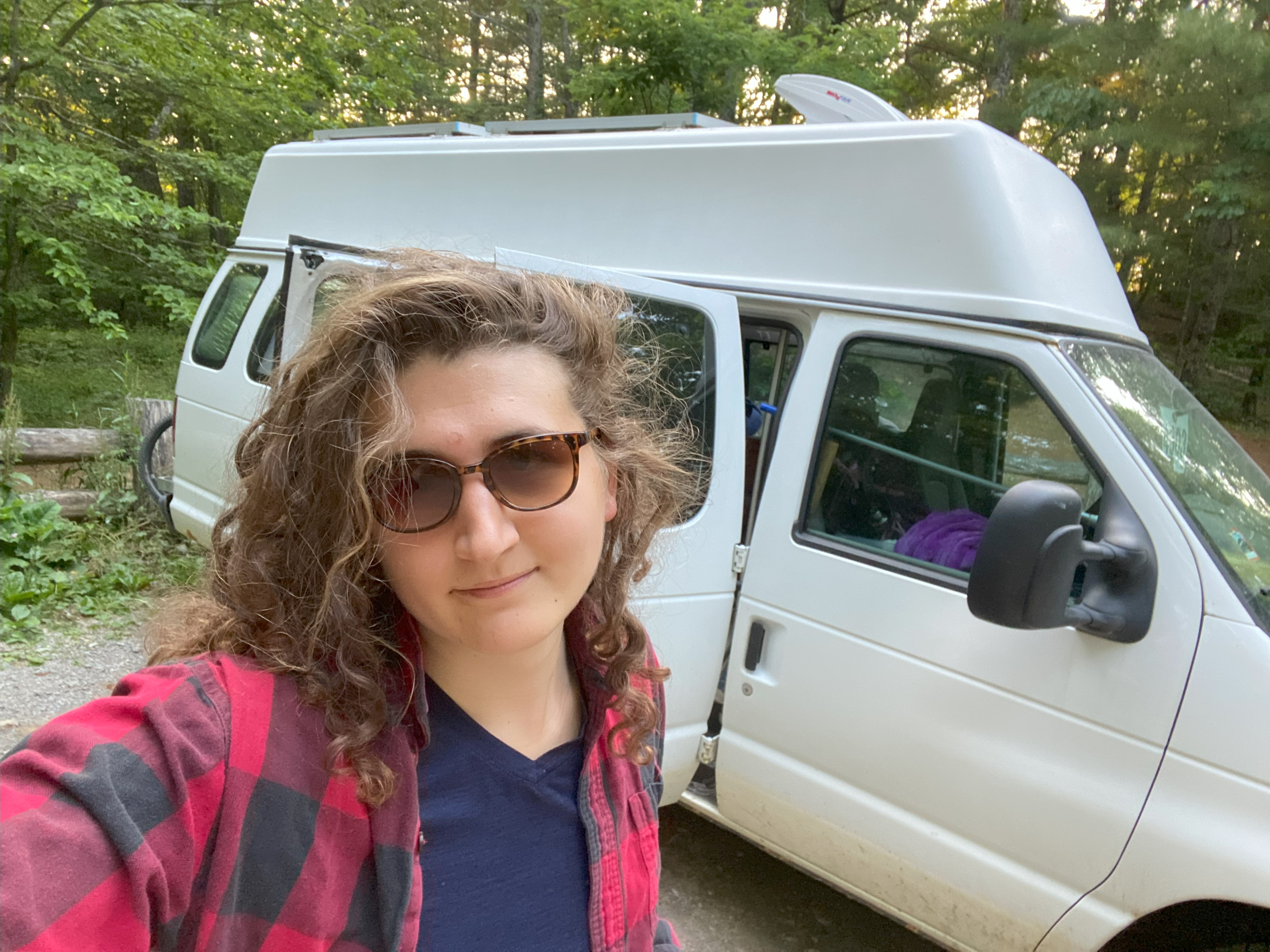
After spending the night at the Camerer Trailhead, I set off to Green Corner Road to park at the AT intersection at 1700ft, which was dirt road up to that point, but 100% doable in a sedan. Hiking up the AT was delightful, although it did rain on me pretty hard for about 5 of those minutes. The summit of West Wildcat Top, also called Snowbird Mountain, is a FAA broadcast center, with a bald area just along the AT just below the summit. Fantastic views of the Eastern Smokies, and a nice final-view of the NP just before I head up north!

Pinnalce Mountain, June 17th
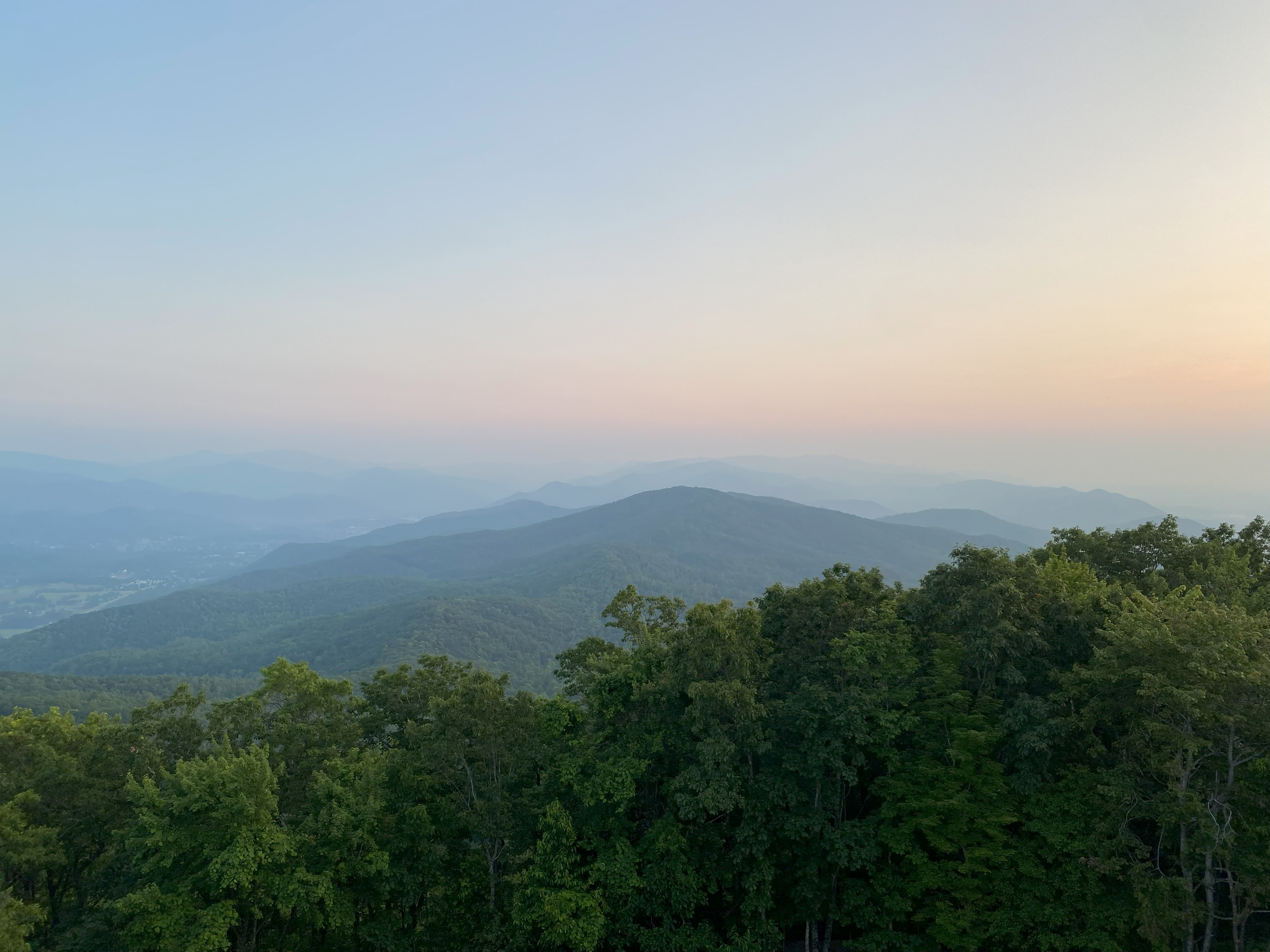
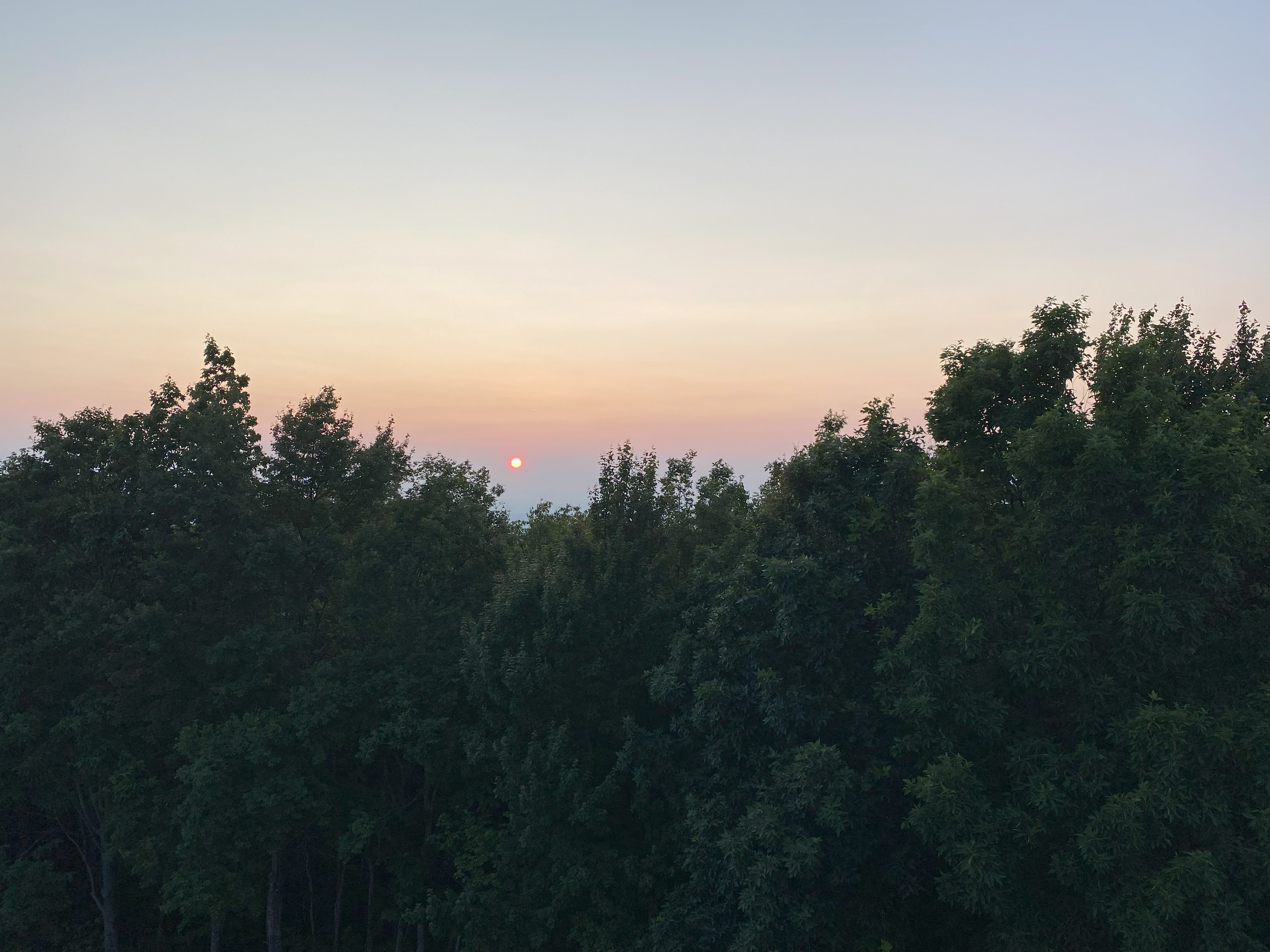
For pinnacle, I drove up Dry Creek Rd and then FS 188, which is a dirt road doable in a sedan, but with some big potholes here and there - so be careful! The road is gated past 3000ft, and I hiked up the last 300ft and found a delightful fire tower with some beautiful views of Unaka and the other Tennesseean peaks in the area! Nice sunset views too!

Holston Fire Tower and Holston High Top, June 18th
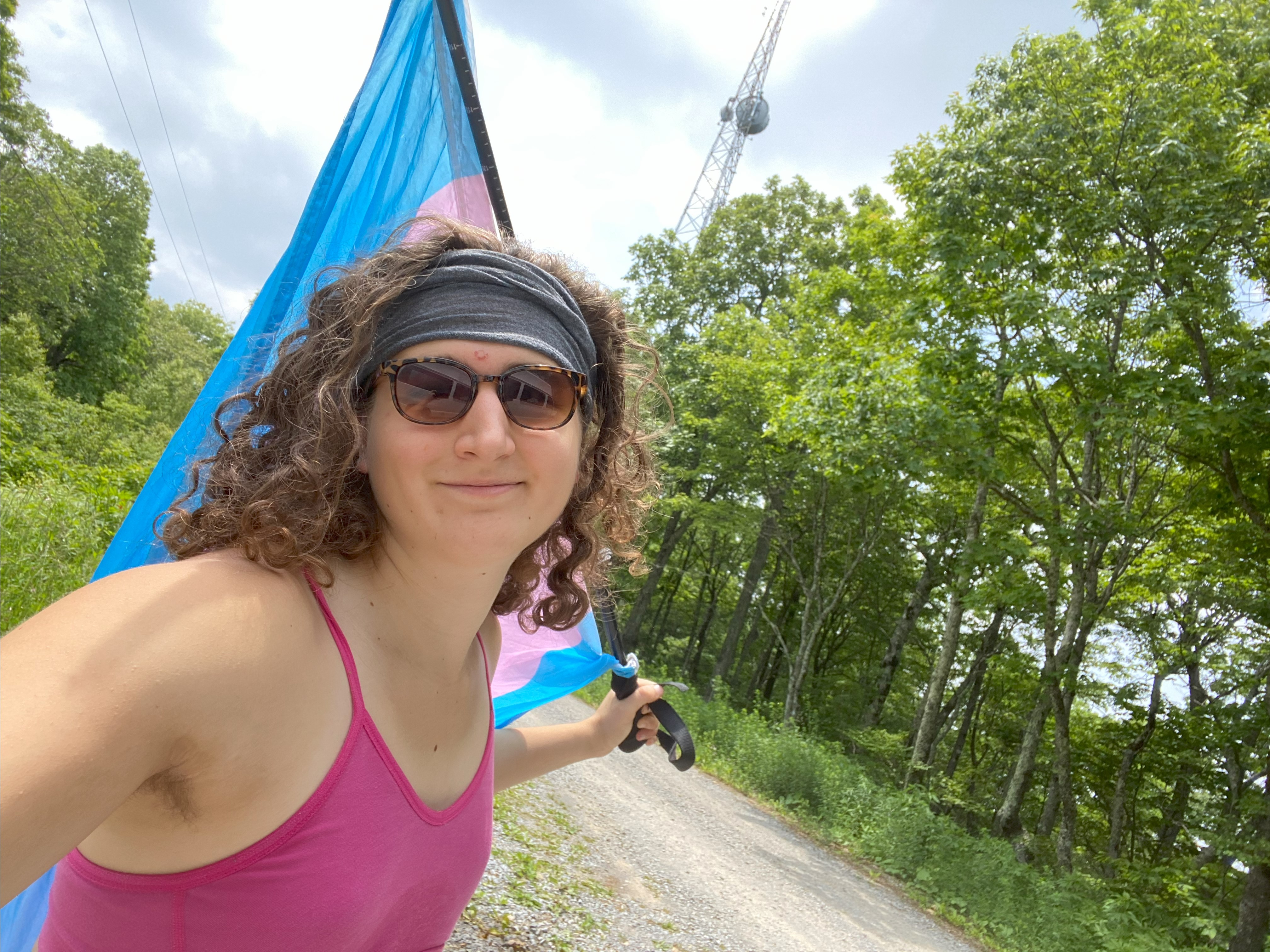
For Holston, I drove up FS56 and FS202, where I hopped up a logging road up to the Fire Tower before realizing that wasn't the true peak! So I drove further along the ridge and found it! Neither peak is that cool, but if you're brave enough to climb the fire tower I imagine there are some views

Rich Knob, June 18th
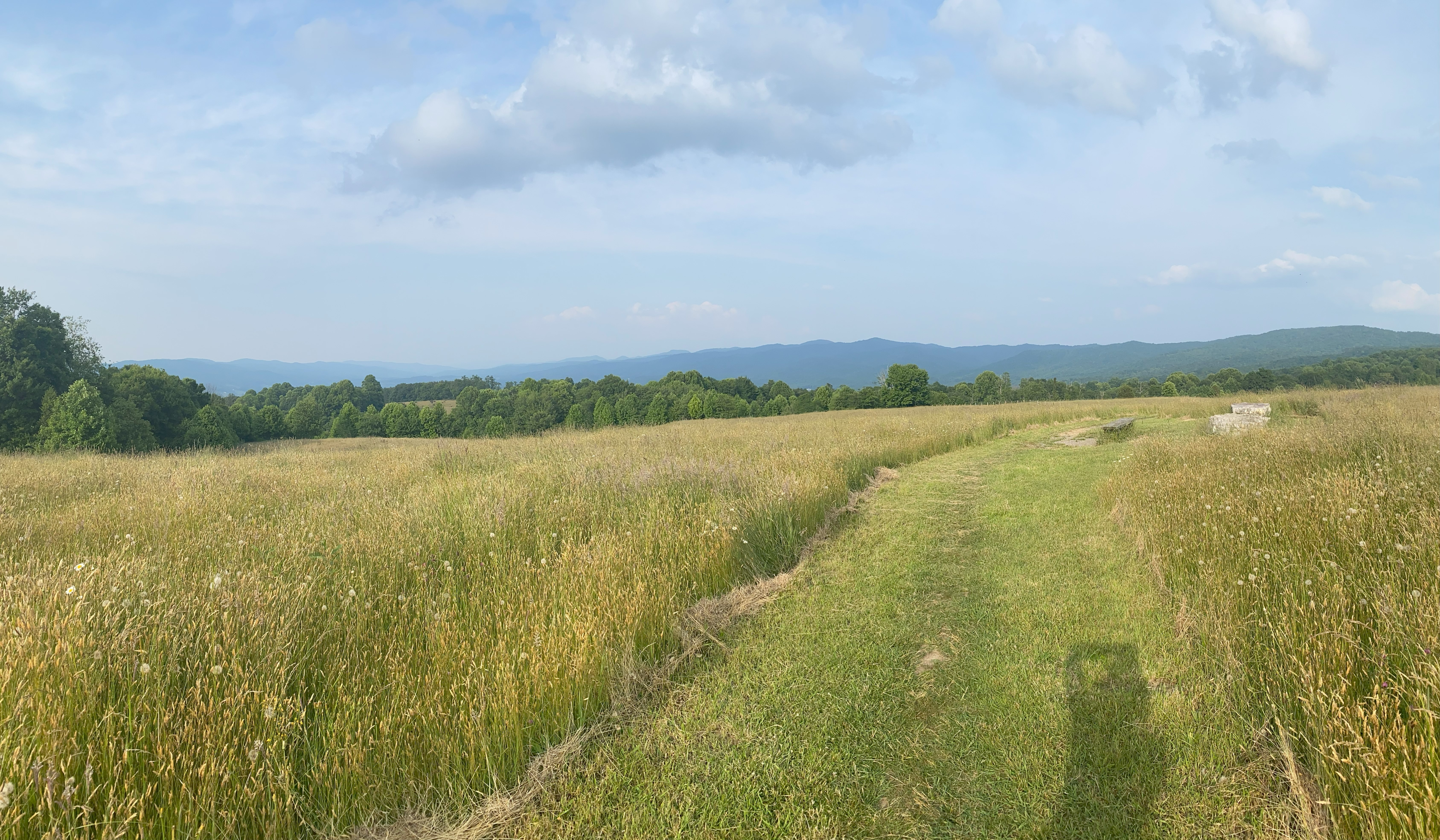
I decided to camp at the AT this night, and saw a giant meadow to my north, and decided I had to hike it. Good decision, a nice beautiful meadow with great views of surrounding ranges, and I ended up pushing to Rich Knob, which is a tiny little bushwhack though open woods after jumping off the AT. Delightful hike, would recommend
