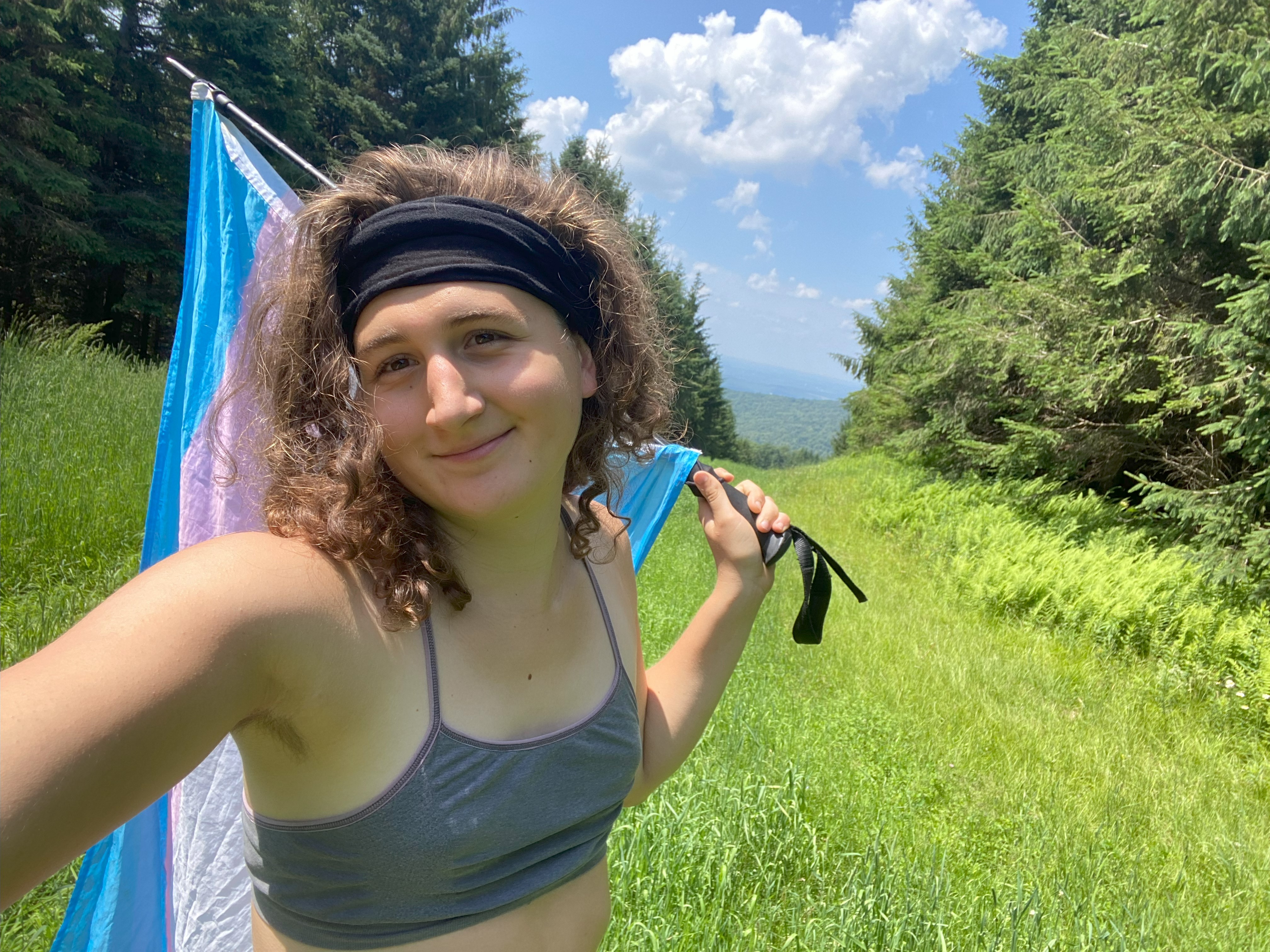
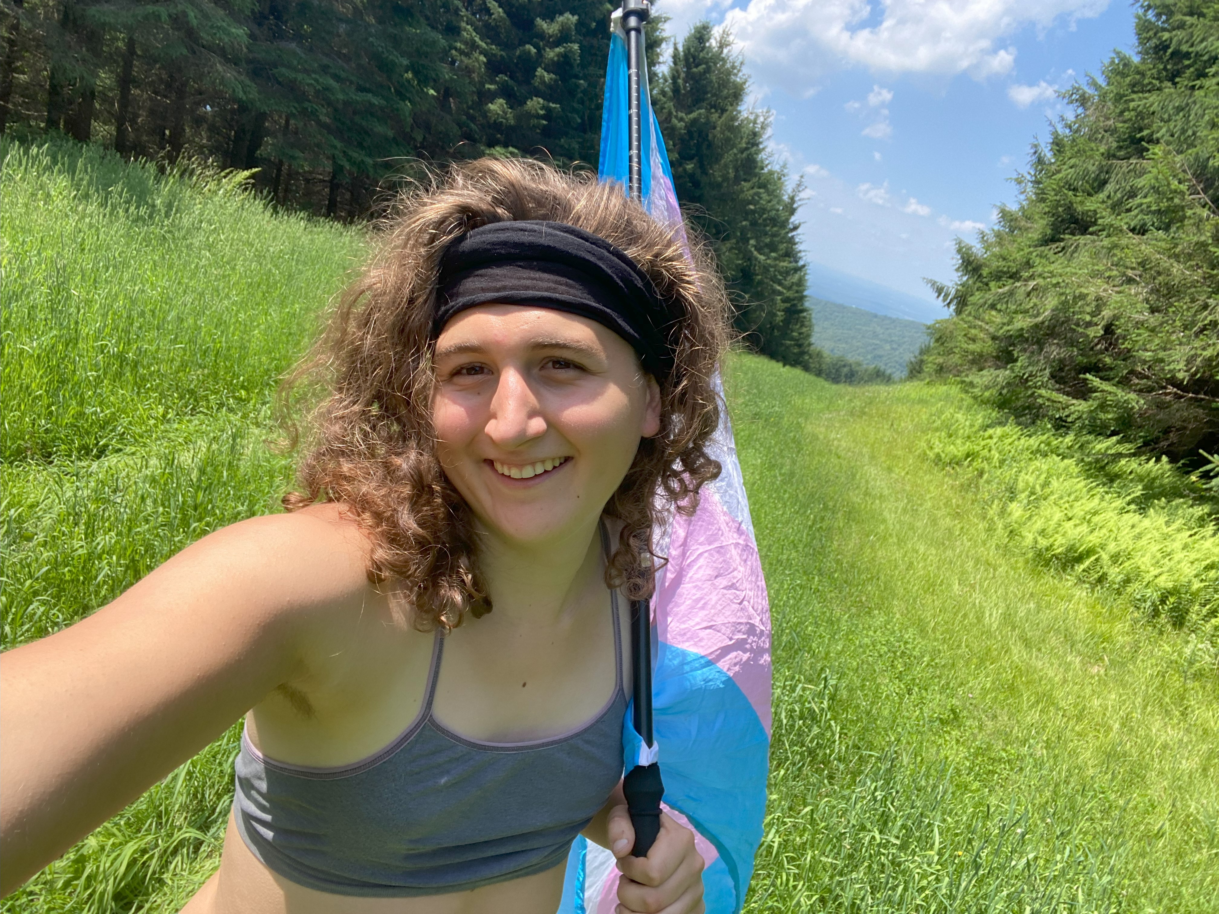
Tuscarora Mountain, Clarks Knob, Butler Knob, Juniata Shade, Snyder Shade, North Mountain, and Elk Hill: July 5th-July 6th, 2023
Tuscarora Mountain, July 5th
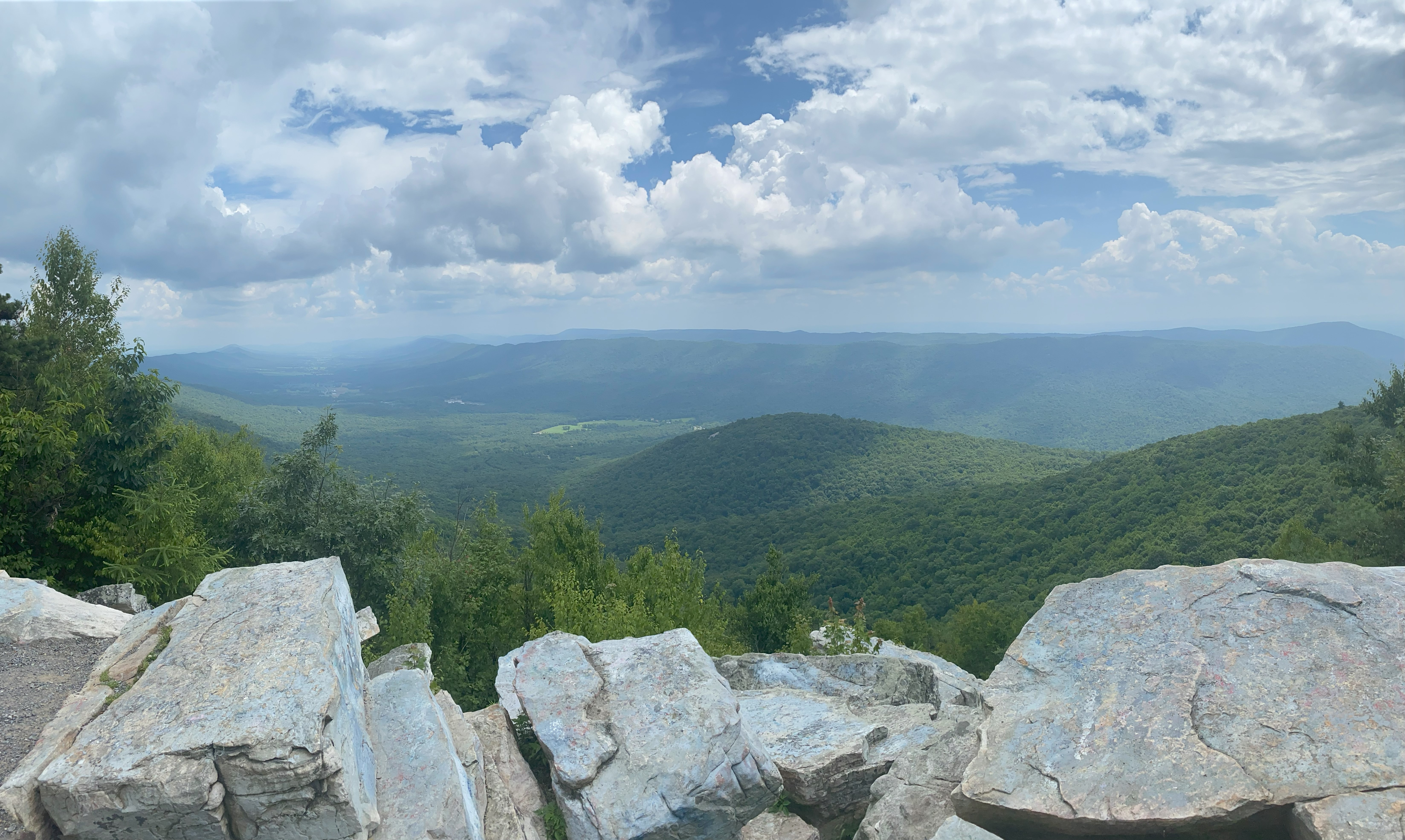
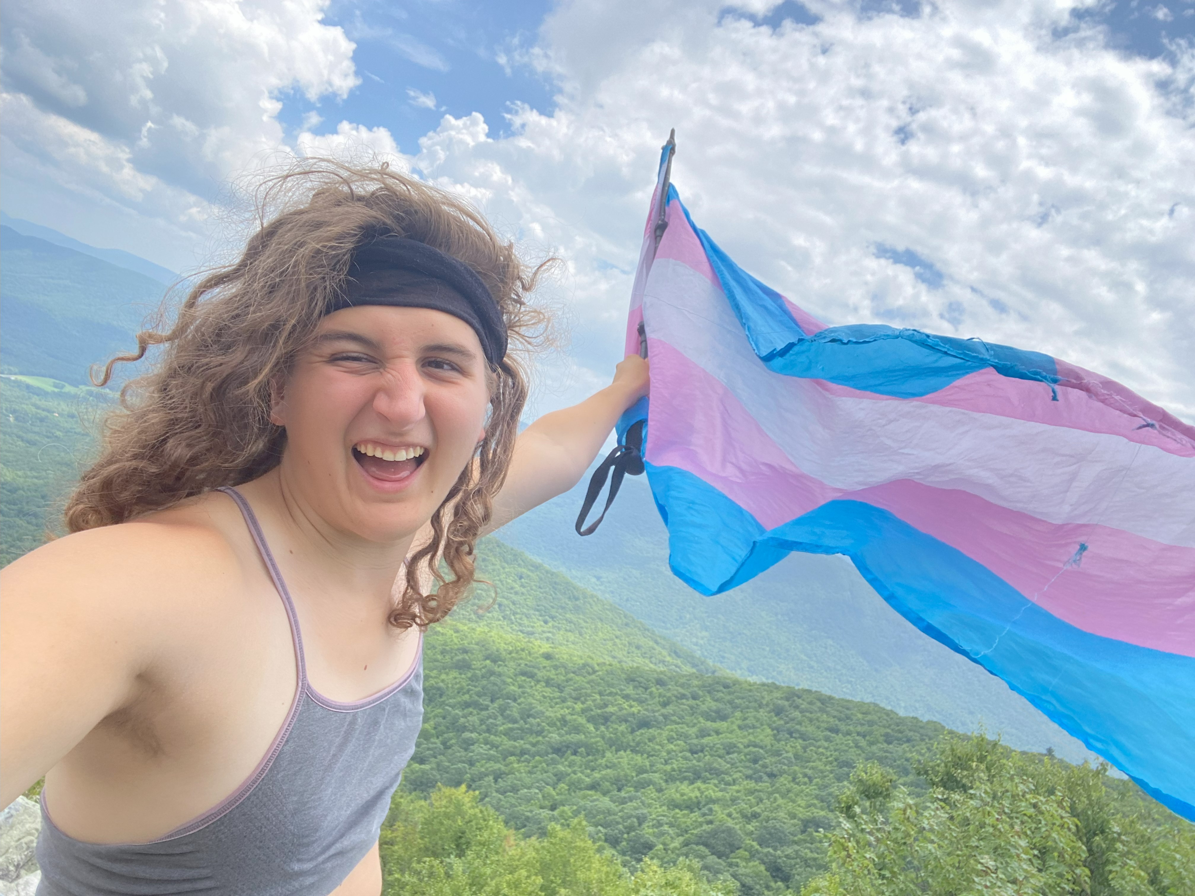
Tuscarora was a drive up from Augwick Knob with a beautiful overlook near the summit. Whole thing is totally doable in a sedan
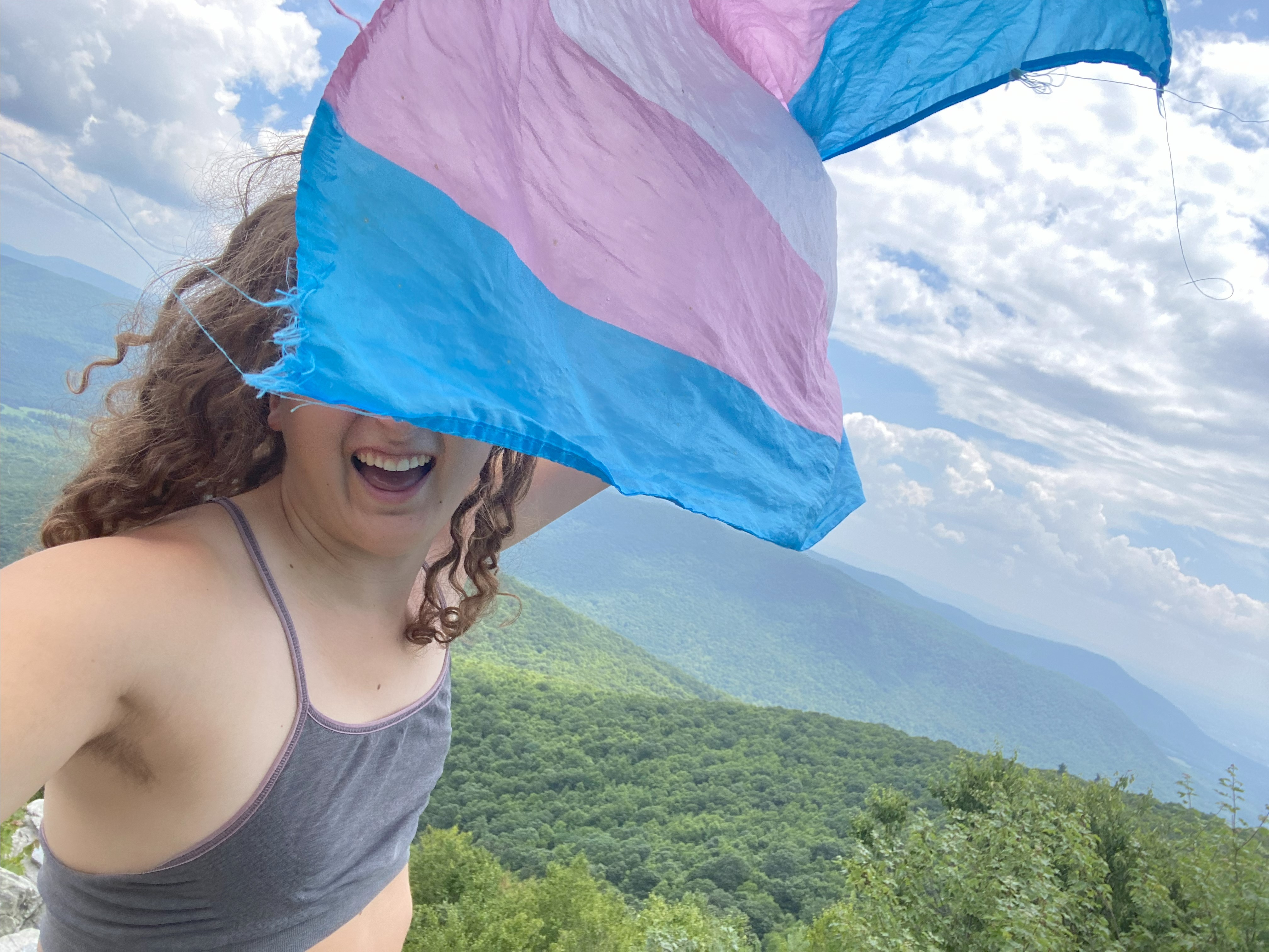
Clarks Knob, July 5th
Clarks Knob was a drive from Upper Strasburg Road and Bear Valley Road, with a beautiful view along the way up - doable in a sedan
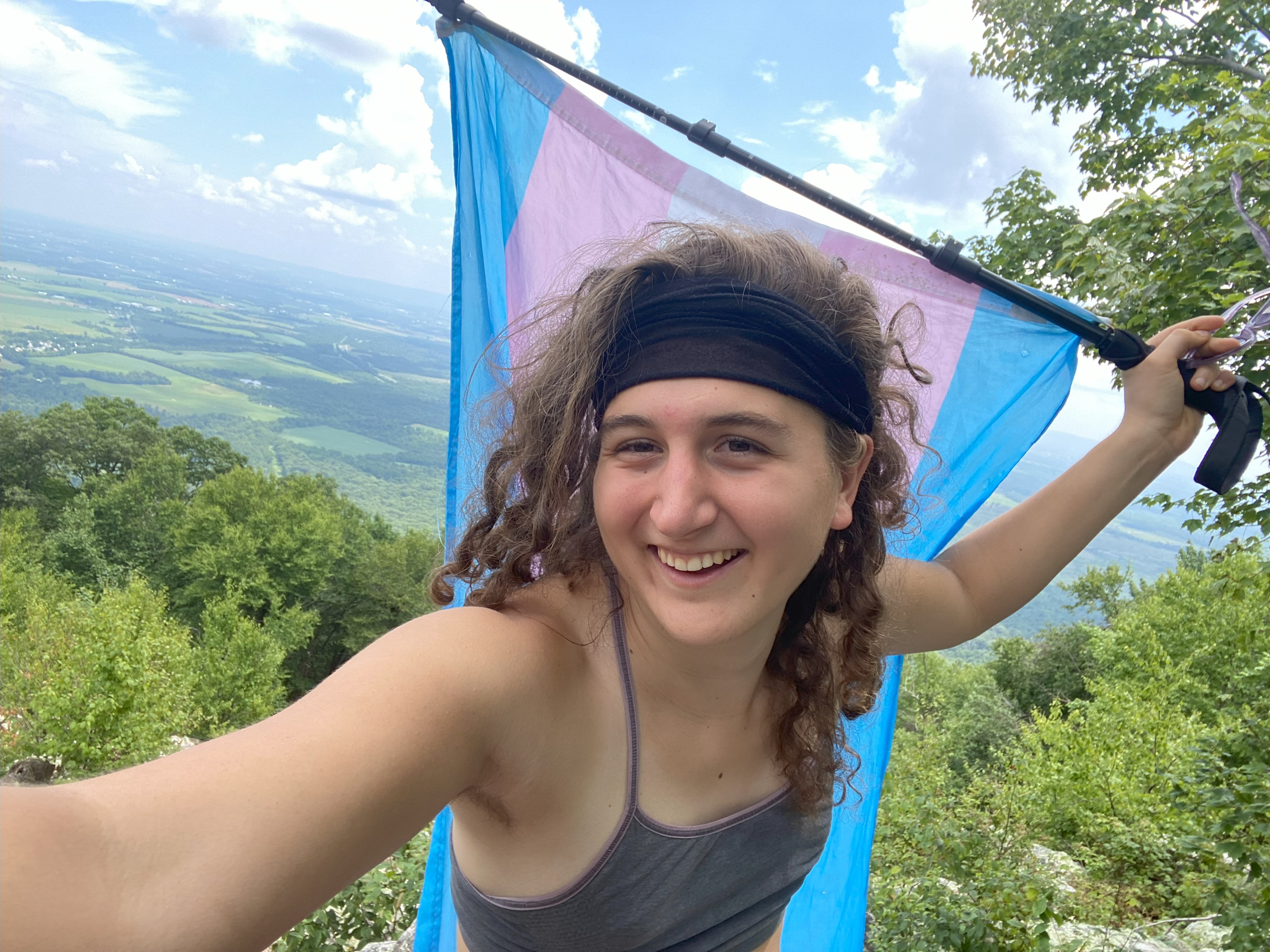
Butler Knob, July 5th
Butler Knob was a drive up Jacks Tower Road, which requires high clearance and which should not be done when wet, because the road is uber muddy. I didn't find any good views, but the woods were cool!
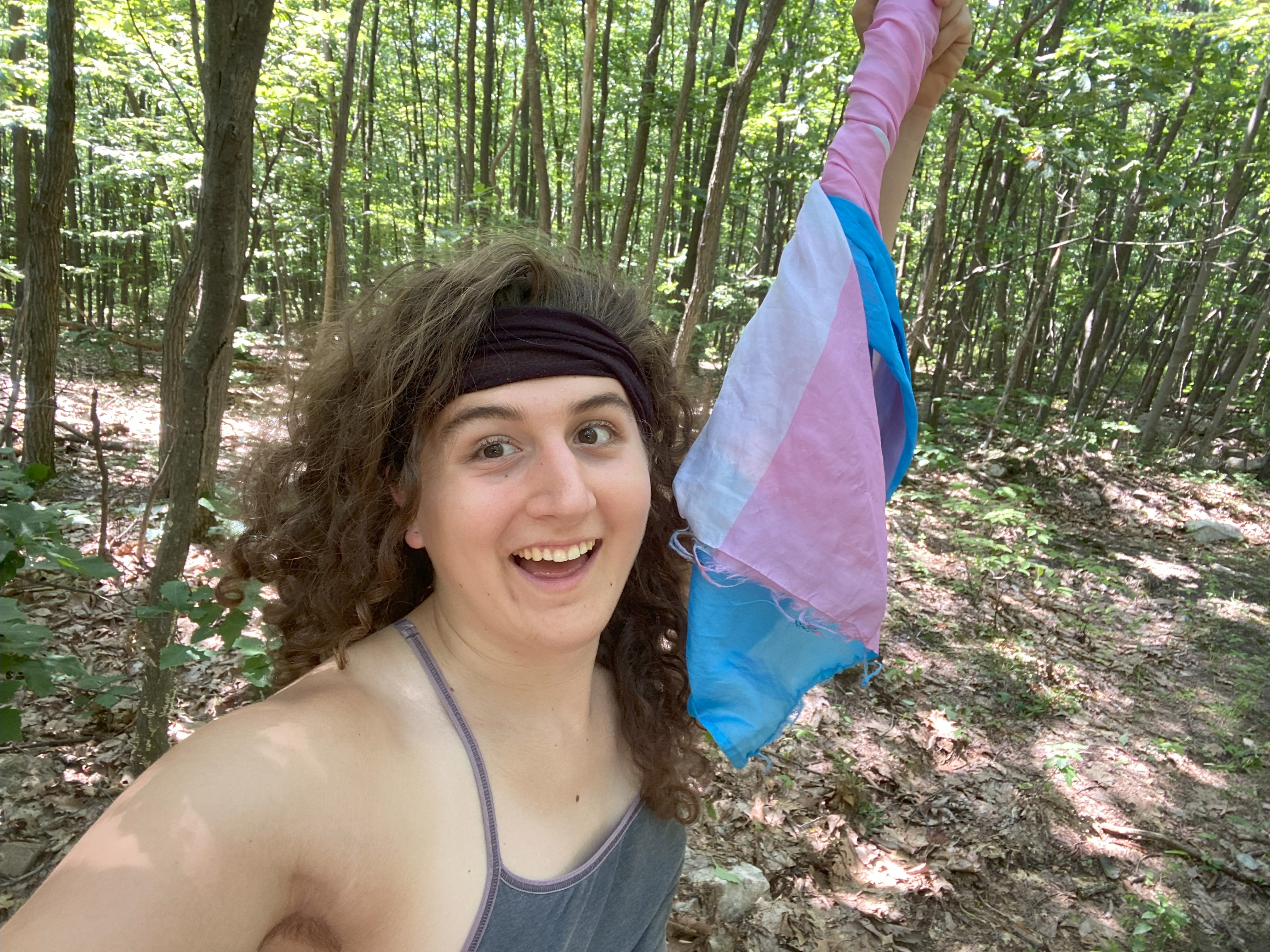
Juniata Shade Mountain, July 5th
Juniata Shade Mountain, which I'm calling because Shade Mountain goes from Juniata County to Snyder County, with the latter one being labeled as such in the peakbagger database, is drivable to the summit up Spectacle Gap Road, which is doable in a sedan. The summit used to have a fire tower that has since been removed, but the woods are cool and there are picnic tables at the top!
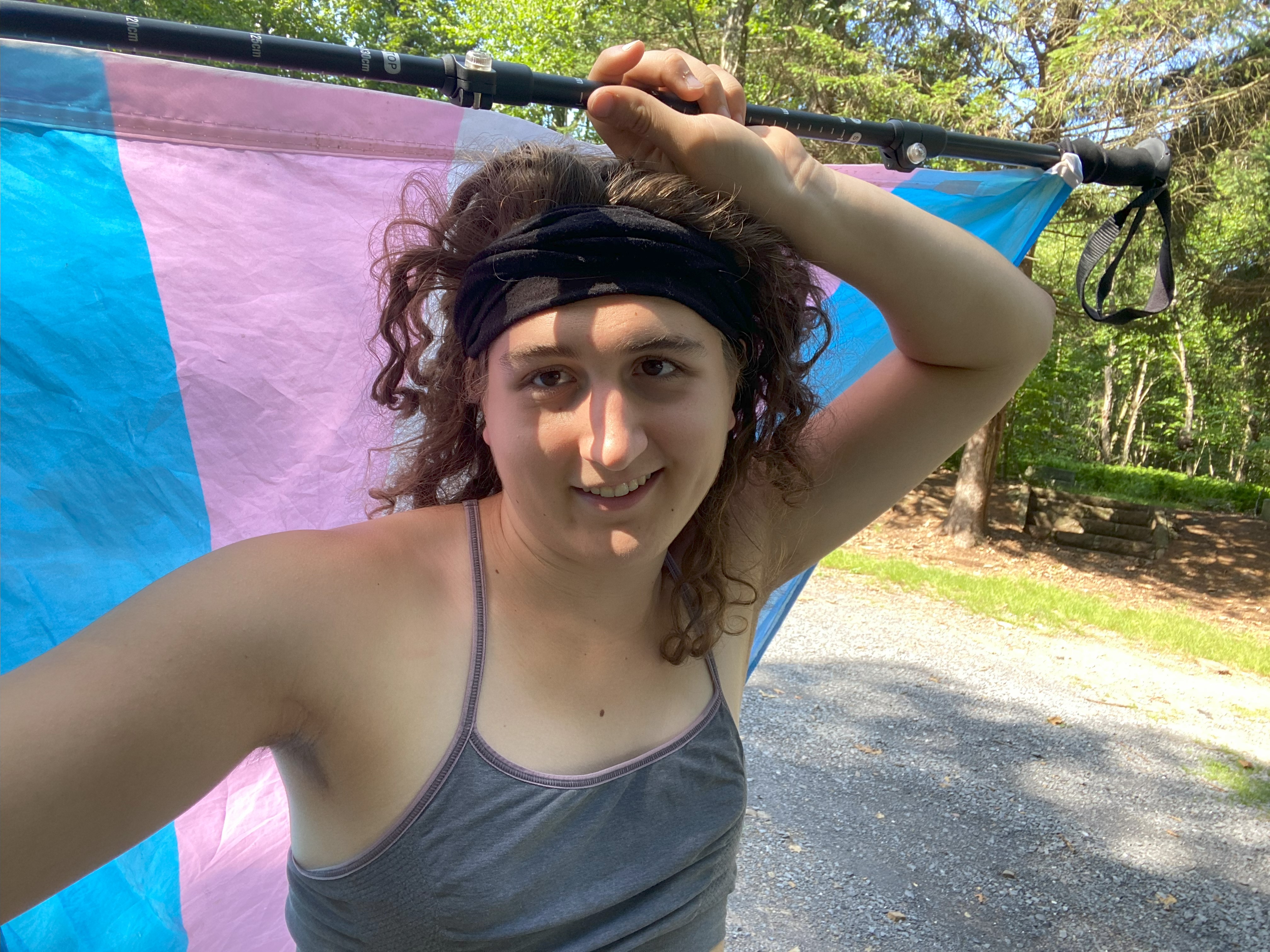

Snyder Shade Mountain, July 5th
Snyder Shade Mountain, which I'm calling because Shade Mountain goes from Juniata County to Snyder County, is drivable to the summit up Shade Mountain Road, which is doable in a sedan, with the last little bit being a relatively easy walk up a road that you might want higher clearance for. Beautiful outlooks on this most prominent peak in Pennsylvania!
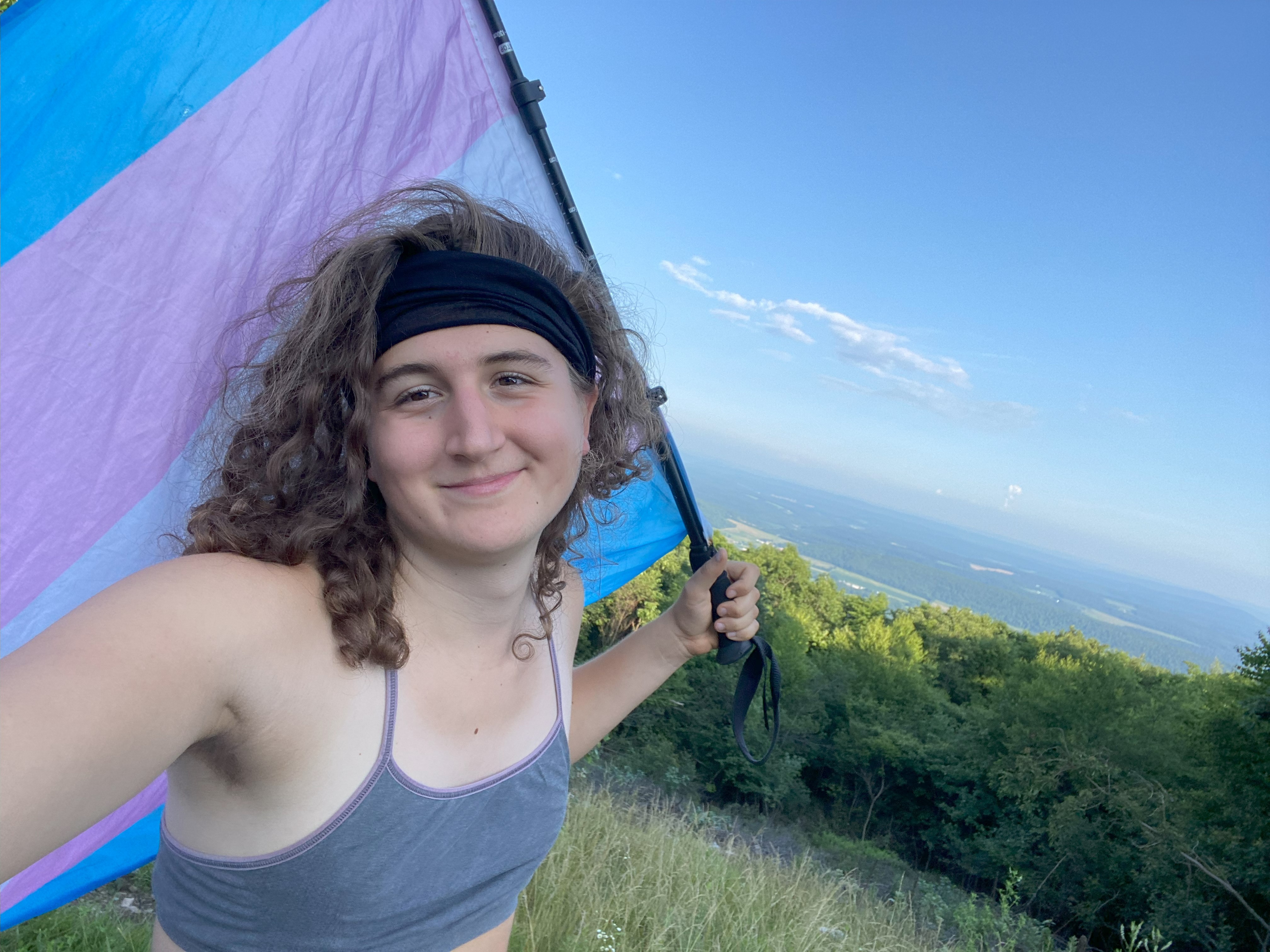
North Mountain, July 6th
North mountain typically requires a walk up one of the dirt road paths up, either from the east or the west. Following Ben Lostracco's trip report, I ascended from the west in my van because the gate was open. The road is rocky but doable in a sedan, though my previous bad experiences doing this sort of thing make me need to stress: don't depend on the gate being open and if it is, be prepared for it to be closed after you enter. The gate said authorized vehicles only but I assumed I could just play a naive dumbass if encountered, and quickly leave if so. Also that gate would be easy to break the locks on with my pick, but luckily that wasn't needed. No time for lollygagging!
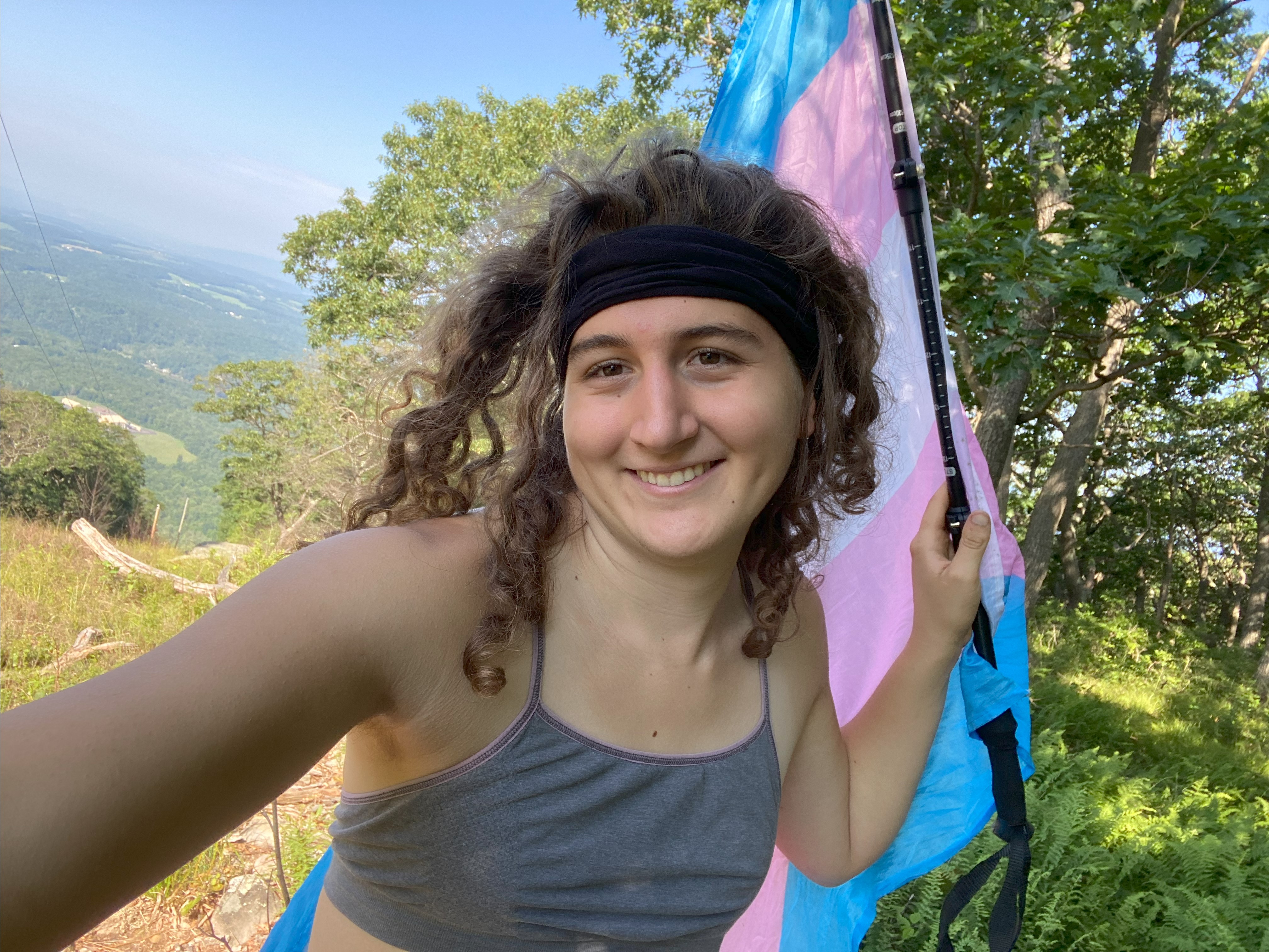
Elk Hill, July 6th
Elk Hill is the last of my peakbagging project to take a trans pride flag up 202 mountains in the American Southeast, which is odd because Elk Hill feels a lot more like the southernmost northern mountain rather than the northernmost southern mountain, and few would consider north of Scranton "the South", but that's how my project evolved over time. Naturally, this was a peak-southern ascent for me, as I found the road to the summit open due to work I imagine was going on on the ski runs. Anyhow, just like with North Mountain I did earlier this day, don't depend on the road being opened, and if you start up the road, be prepared for it to be closed when you get back. This gate you can't smash open with bumper or pick, so be prepared to play dumb and get on the good graces of one of the workers there if you choose this route. Otherwise, ascending one of the runs would be really pretty!!! :)
